
Steingilshøgda, Klovfjellet and Budalsfjellet from Grov (15.05.2022)

Skrevet av hbar (Harald Barsnes)

| Startsted | Storhaugen/Grov E39 (74moh) |
|---|---|
| Sluttsted | Storhaugen/Grov E39 (61moh) |
| Turtype | Fjelltur |
| Turlengde | 7t 11min |
| Distanse | 24,0km |
| Høydemeter | 1196m |
| GPS |
|
| Bestigninger | Budalsfjellet (526moh) | 15.05.2022 |
|---|---|---|
| Klovfjellet (515moh) | 15.05.2022 | |
| Steingilshøgda (529moh) | 15.05.2022 | |
| Andre besøkte PBE'er | Breidalsleitet (450moh) | 15.05.2022 |
| Fjellstova (204moh) | 15.05.2022 | |
| Fjellstova p-plass (202moh) | 15.05.2022 | |
| Lundarstøl (212moh) | 15.05.2022 |
Steingilshøgda, Klovfjellet and Budalsfjellet from Grov
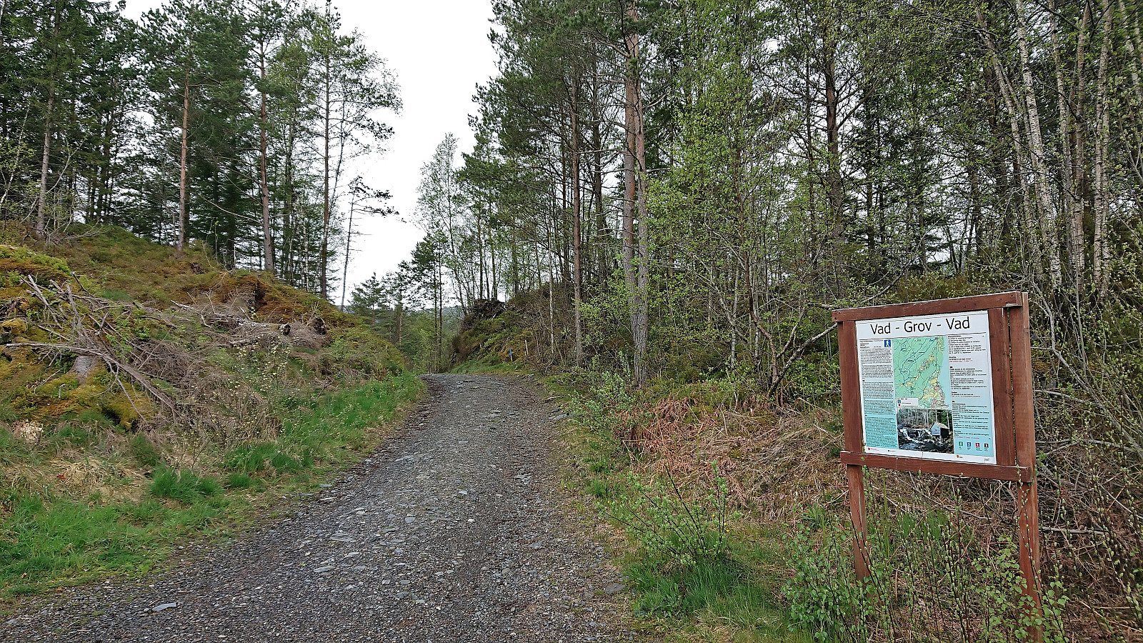
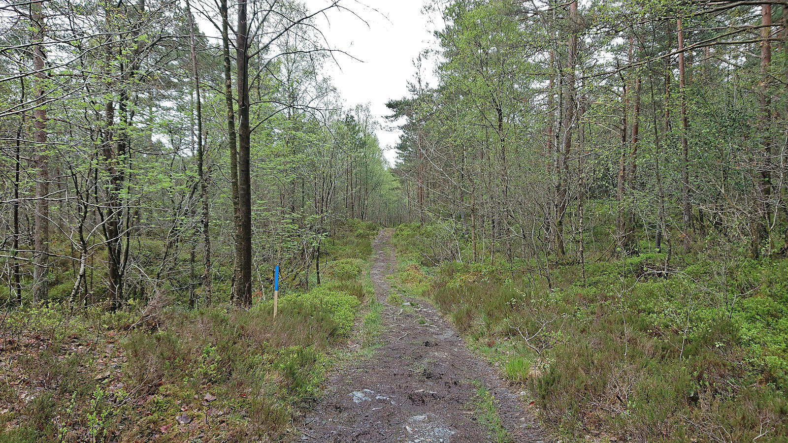
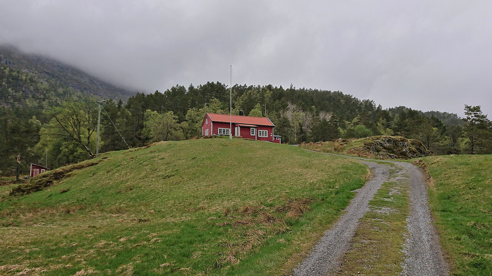
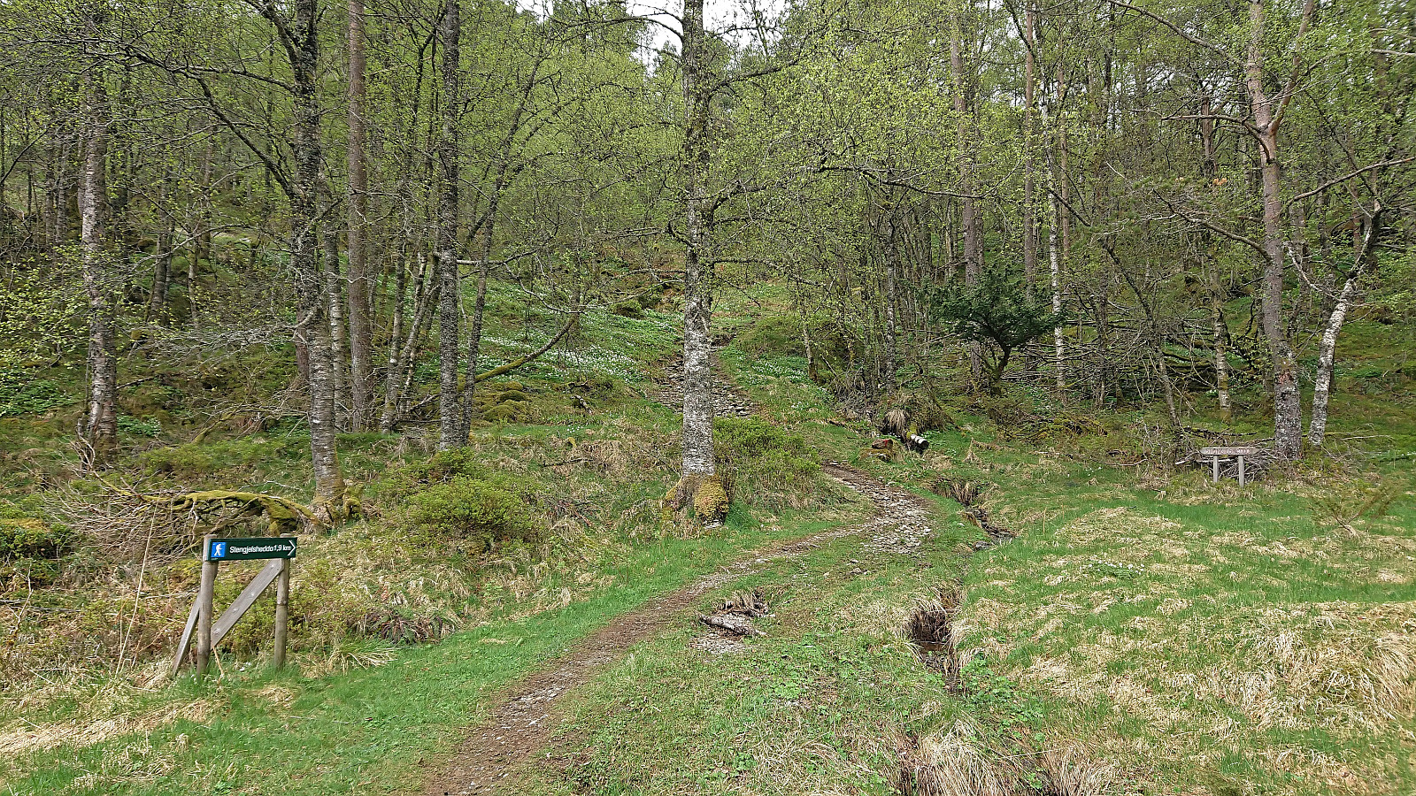
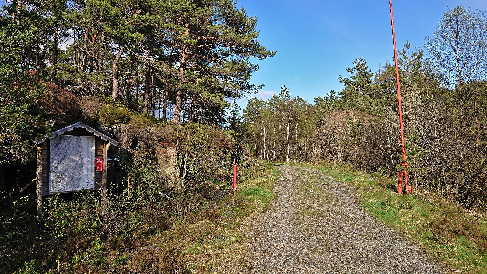
A return to Stord to complete the Stord ≥ 100m pf. list. I started by taking the express bus from Bergen to Stord and getting off at the stop called "Grov nord E39". From there I followed a marked route southwest, choosing the northern of the two options when the road forked just after the trailhead. This included first crossing a small wooden bridge and then continuing on a nice tractor road that later turned into a trail before again returning to a tractor road, and finally ending up at the paved road heading north.
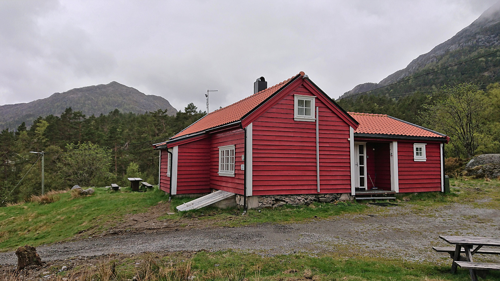
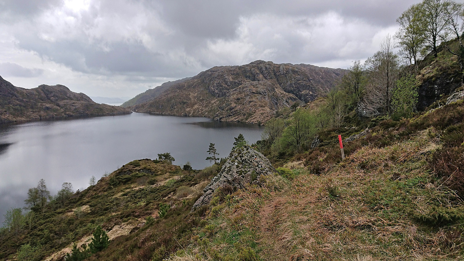
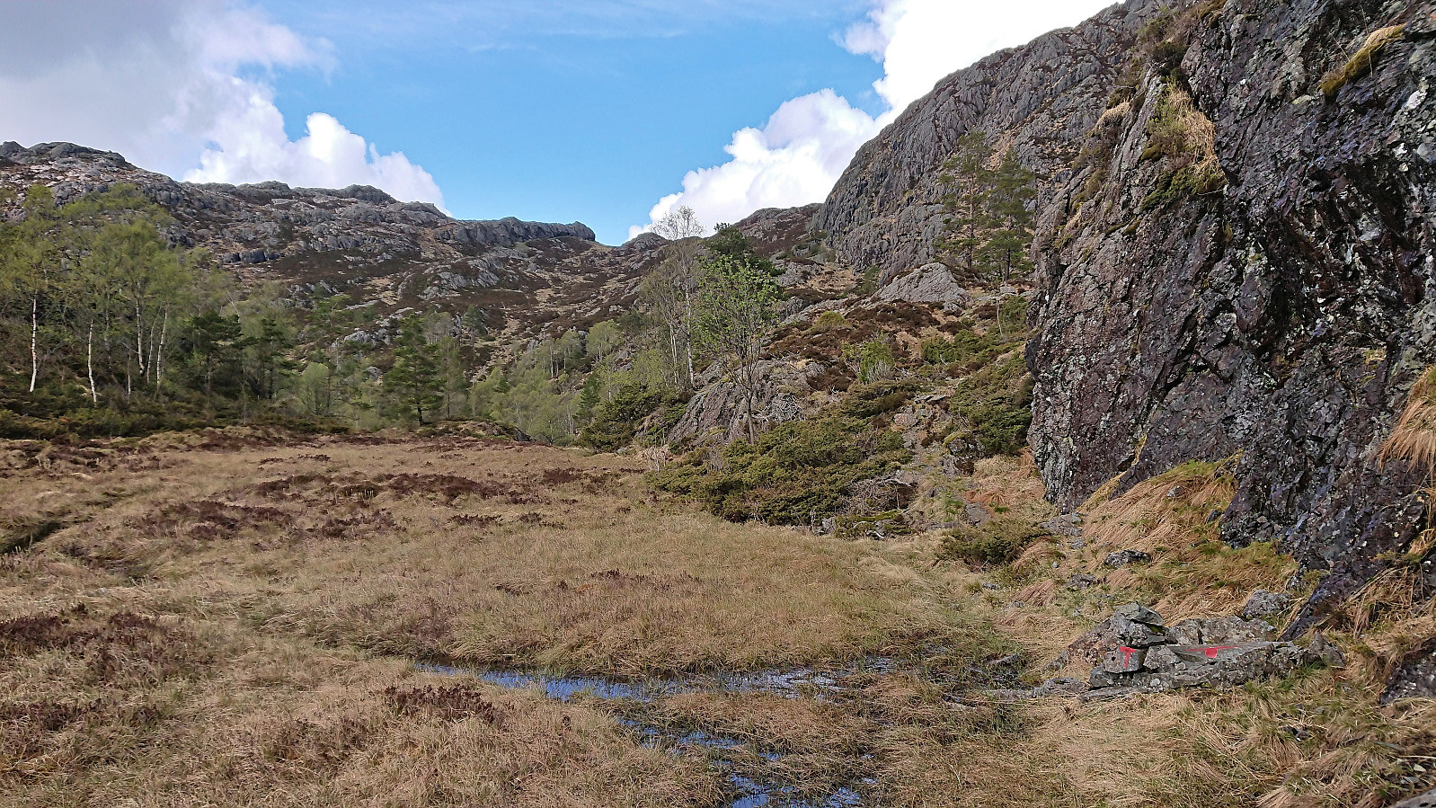
After a short walk along the paved road, I took a shortcut up Omabrekko to arrive at the floodlit ski track south of Lundarstøl. I continued northwest for a quick visit of Lundarstøl, before heading west along the roads to the marked trailhead for Steingilshøgda. For the rest of the hike I would now be on trails marked with red T's and/or red paint.
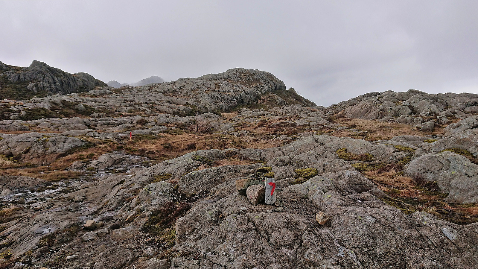
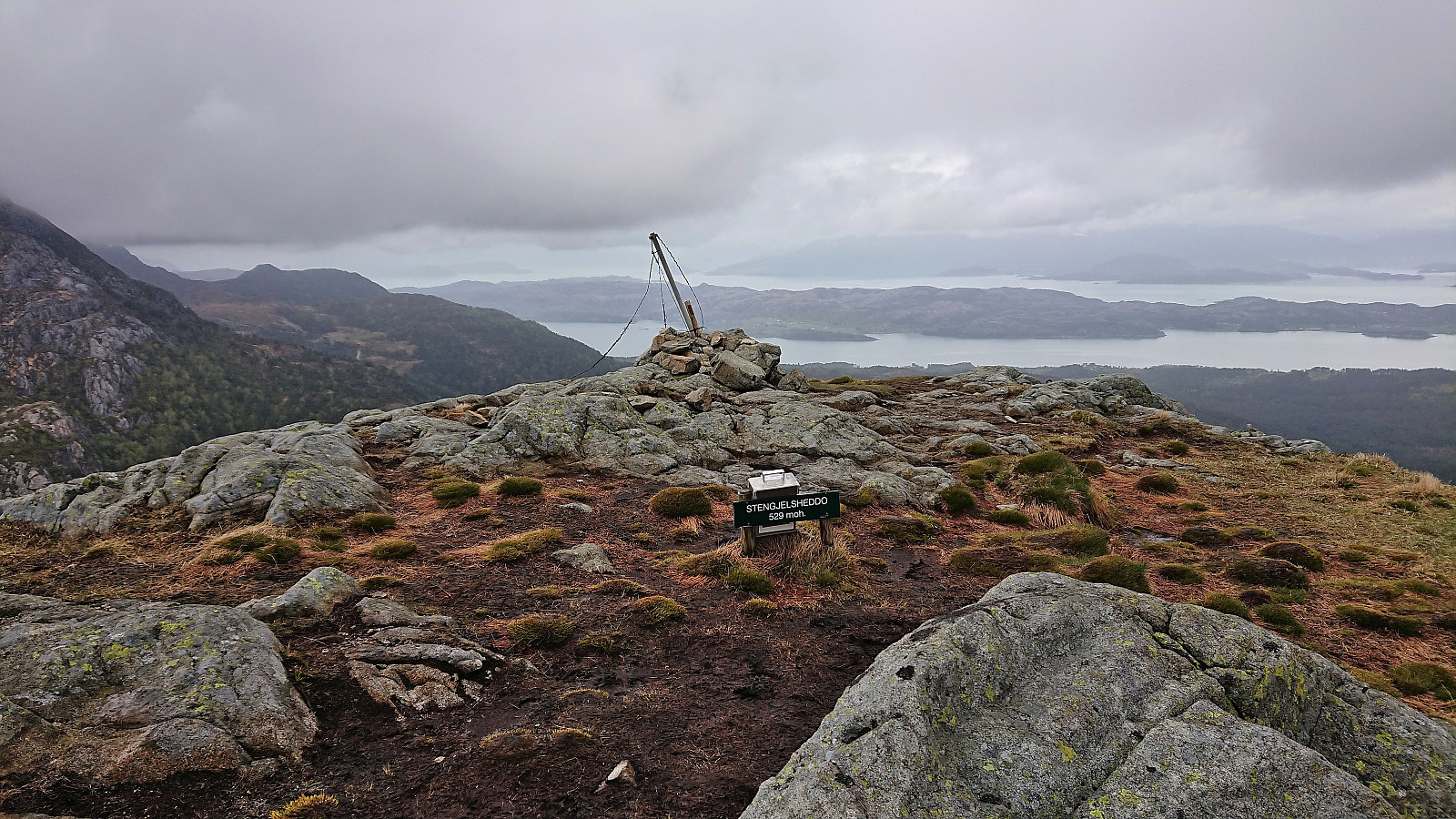
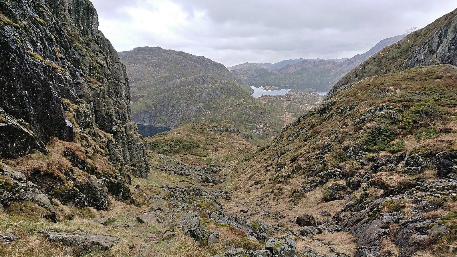
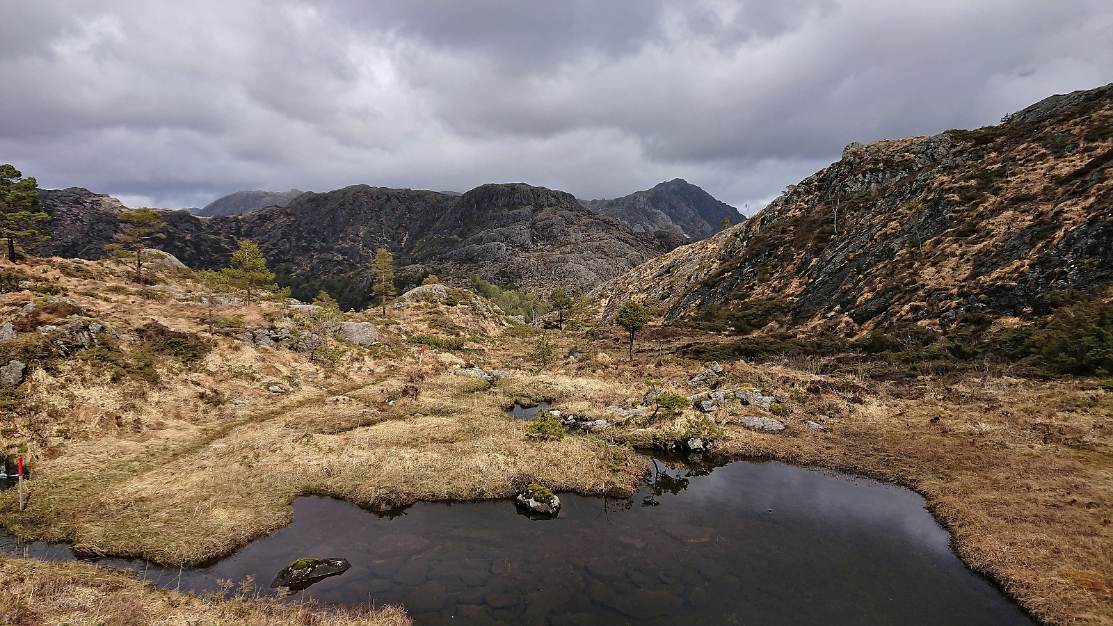
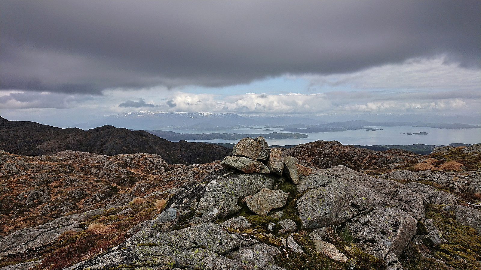
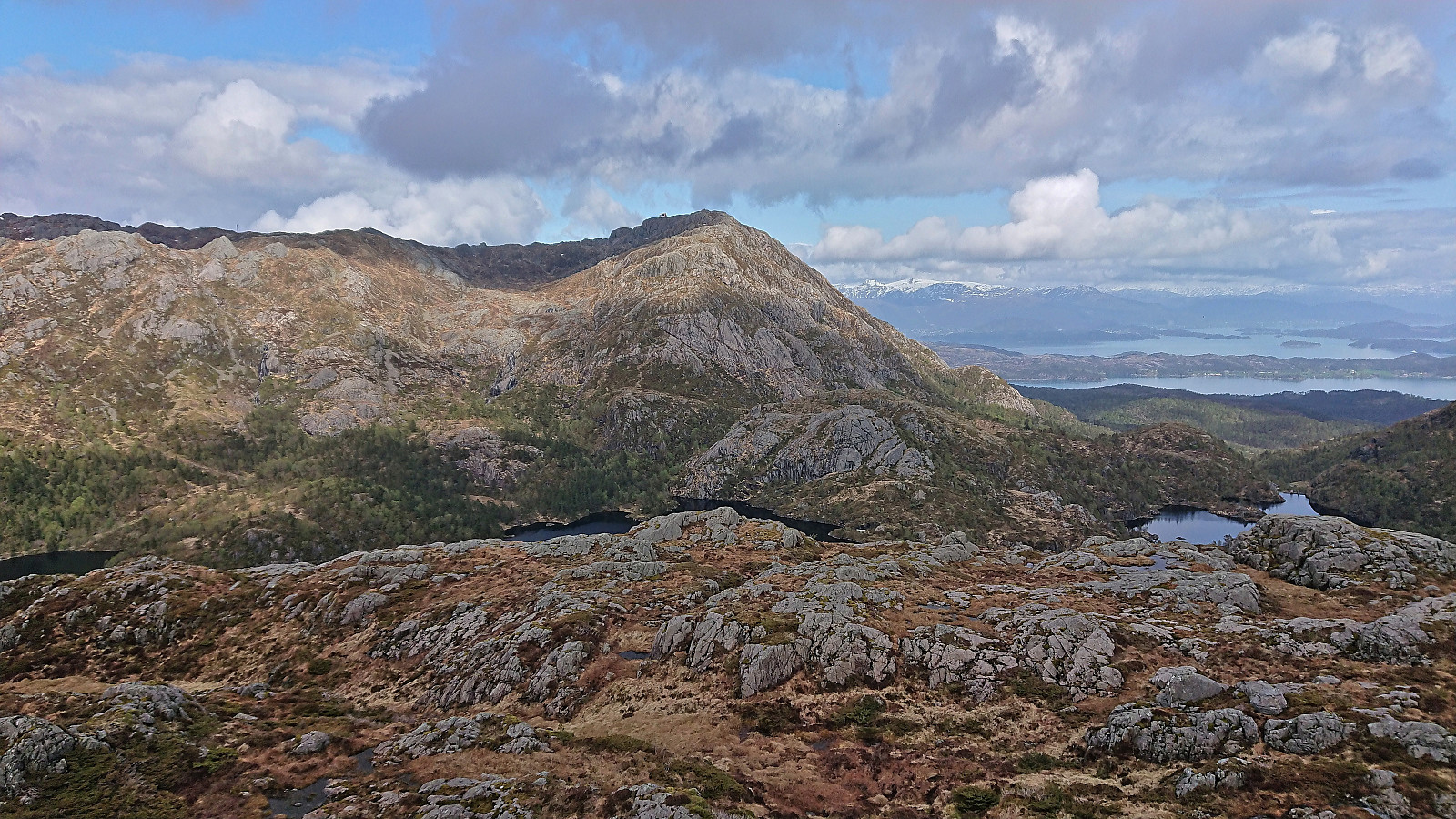
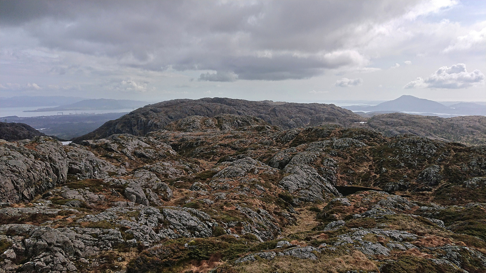
The ascent to Steingilshøgda was very nice and I shortly arrived at the summit where I could enjoy the excellent views, although a bit reduced by the low-hanging clouds that would not properly clear until the end of the hike. In any case, the weather was gradually improving and much better than what I had feared when it started raining on the ferry to Sandvikvåg, combined with fog extending almost to the sea.
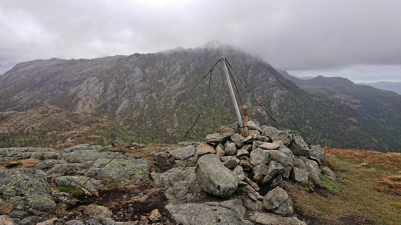
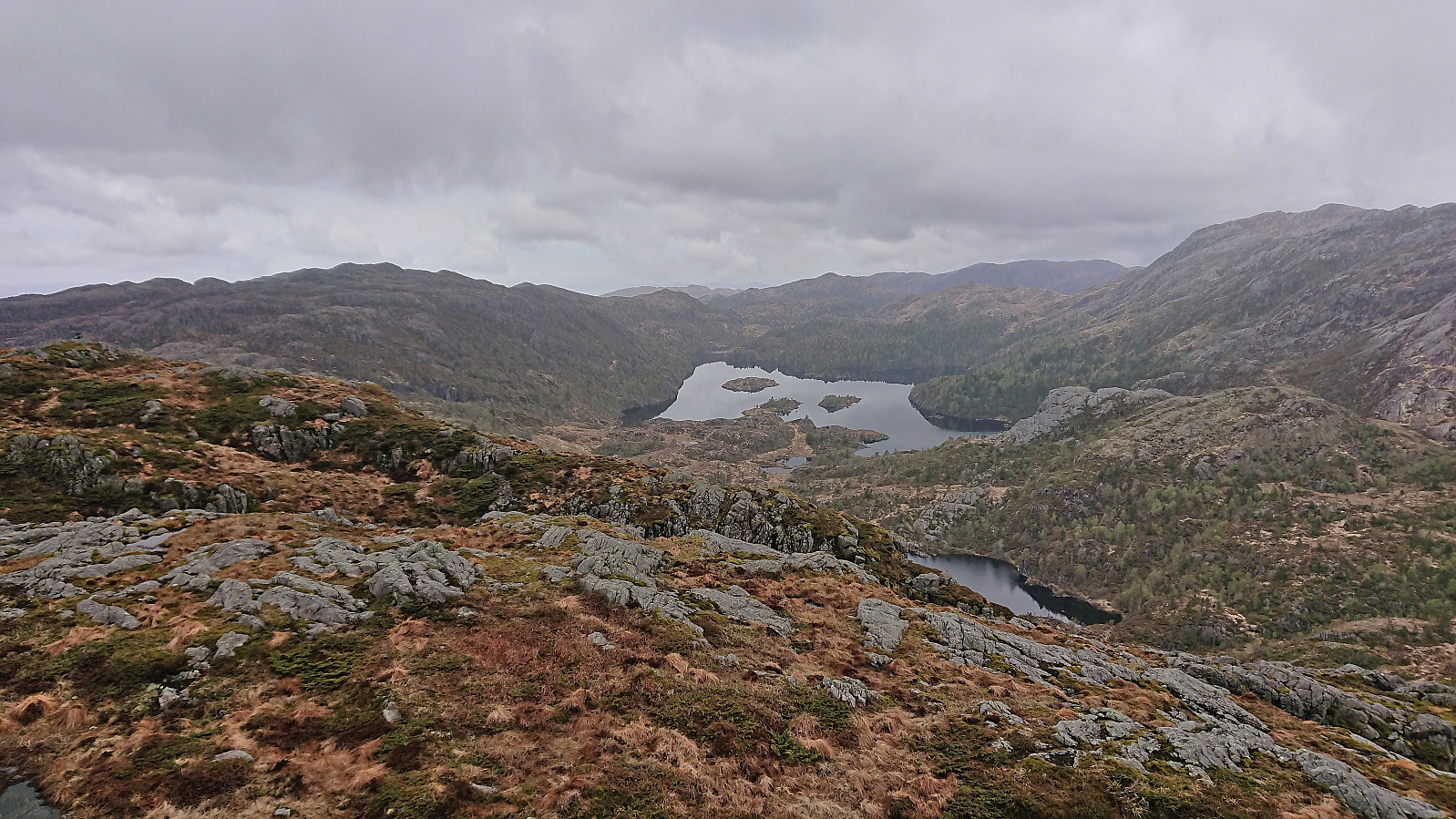
From Steingilshøgda, I descended to Ravatnet and rounded it on the north side before continuing west along Hovtrongsvatnet and starting the ascent to Klovfjellet. The route from Steingilshøgda to Klovfellet was for me the highlight of the hike due to its interesting and varied terrain, with a fog-covered Stovegolvet in the distance only adding to the atmosphere.
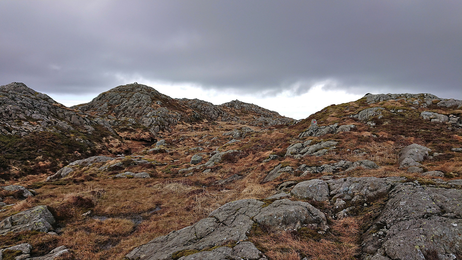
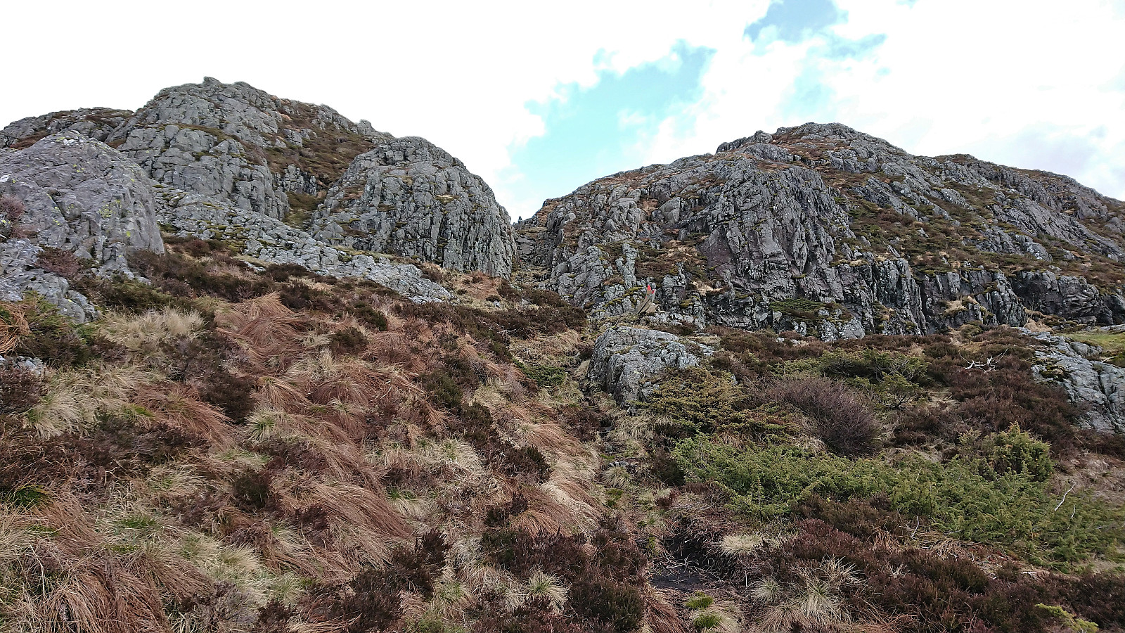
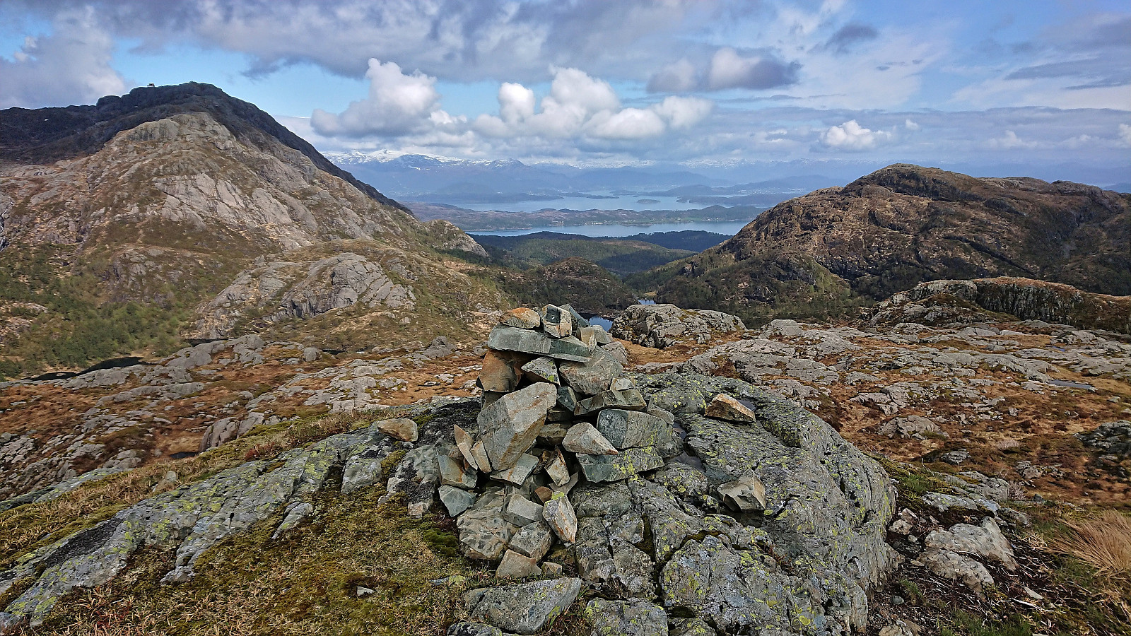
Klovfellet was reached without any issues, perhaps with the exception of ensuring that I was indeed at the highest point, as there were a couple of similar-looking options. The trail did not pass by the summit itself but perhaps 12 meters west of it. But after a quick check of the map, I could conclude that I was at the right spot and could skip visiting the alternative summit around 200 meters further south.
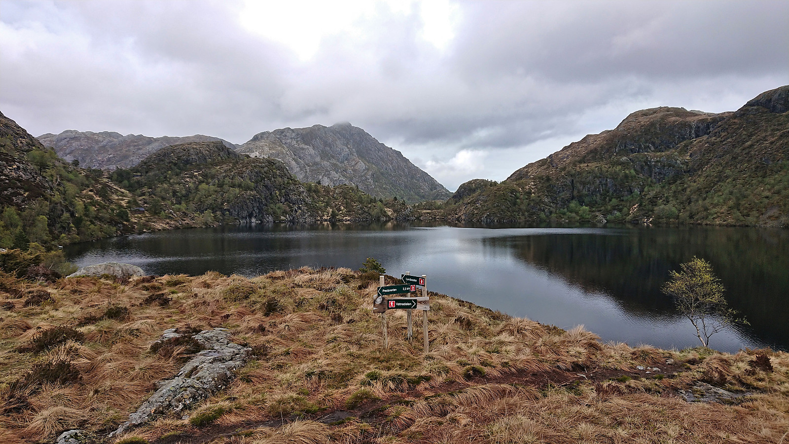
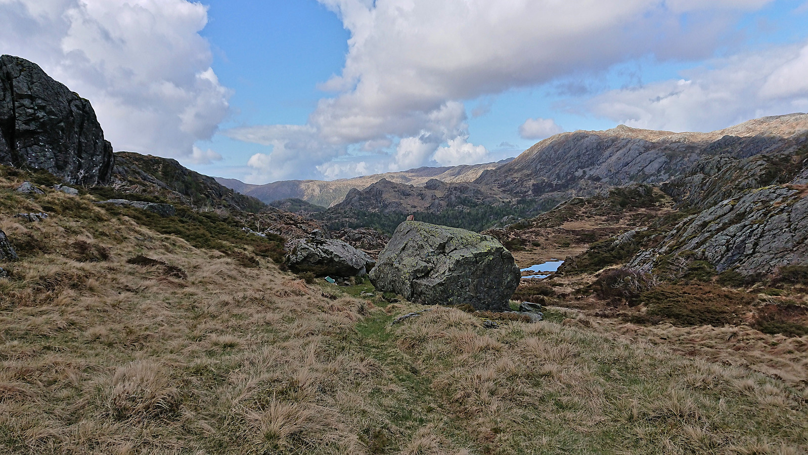
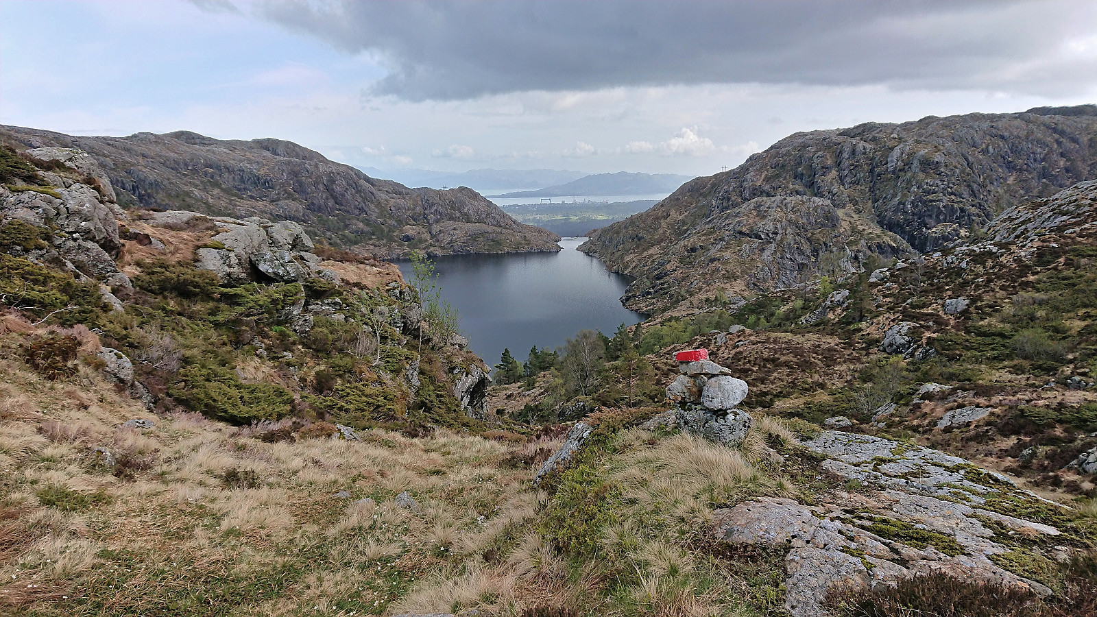
Due to a cold breeze at the summit, I delayed my lunch break until returning to the unnamed small lake in between Klovfellet and Prestavarden. After a short break I retraced my steps to Hovtrongsvatnet and from there followed the marked trail to Budalsfjellet via Breidalsleitet. The latter contained its own visitor register which is probably why it had been added as its own element on PB.
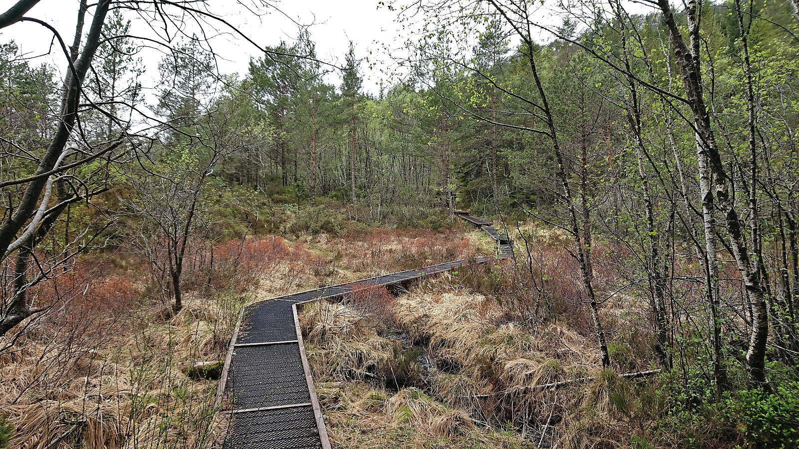
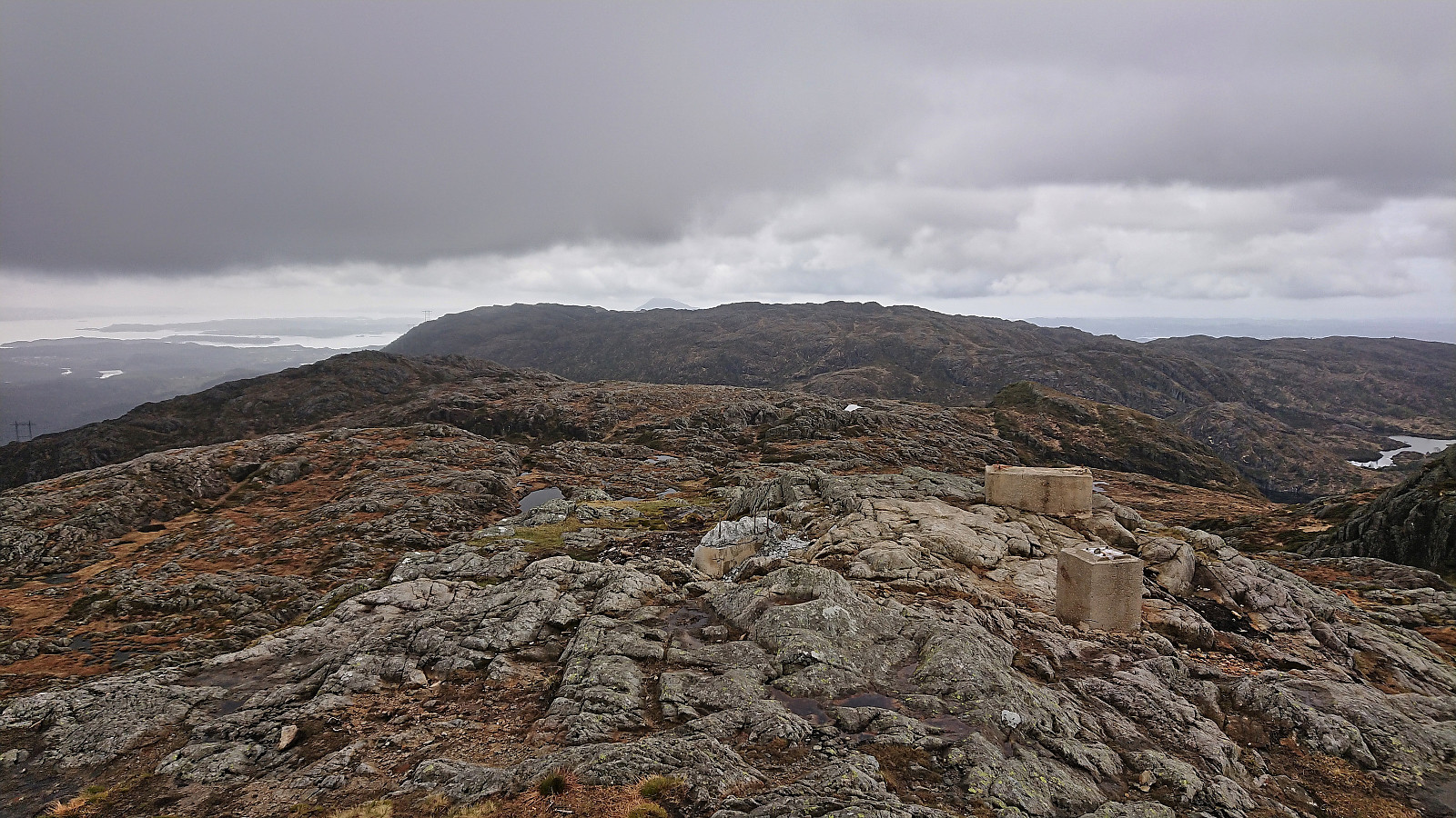
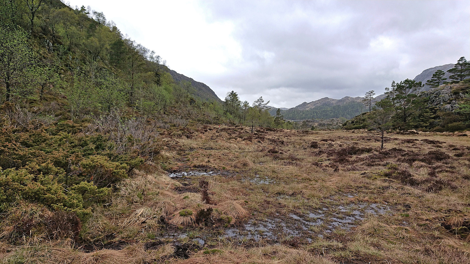
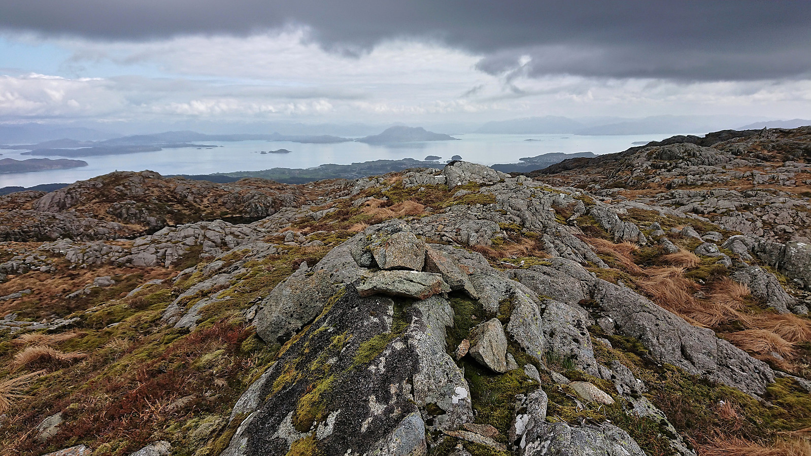
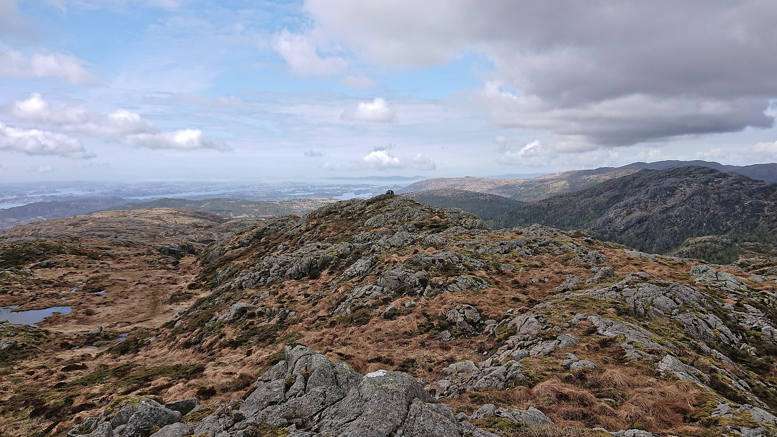
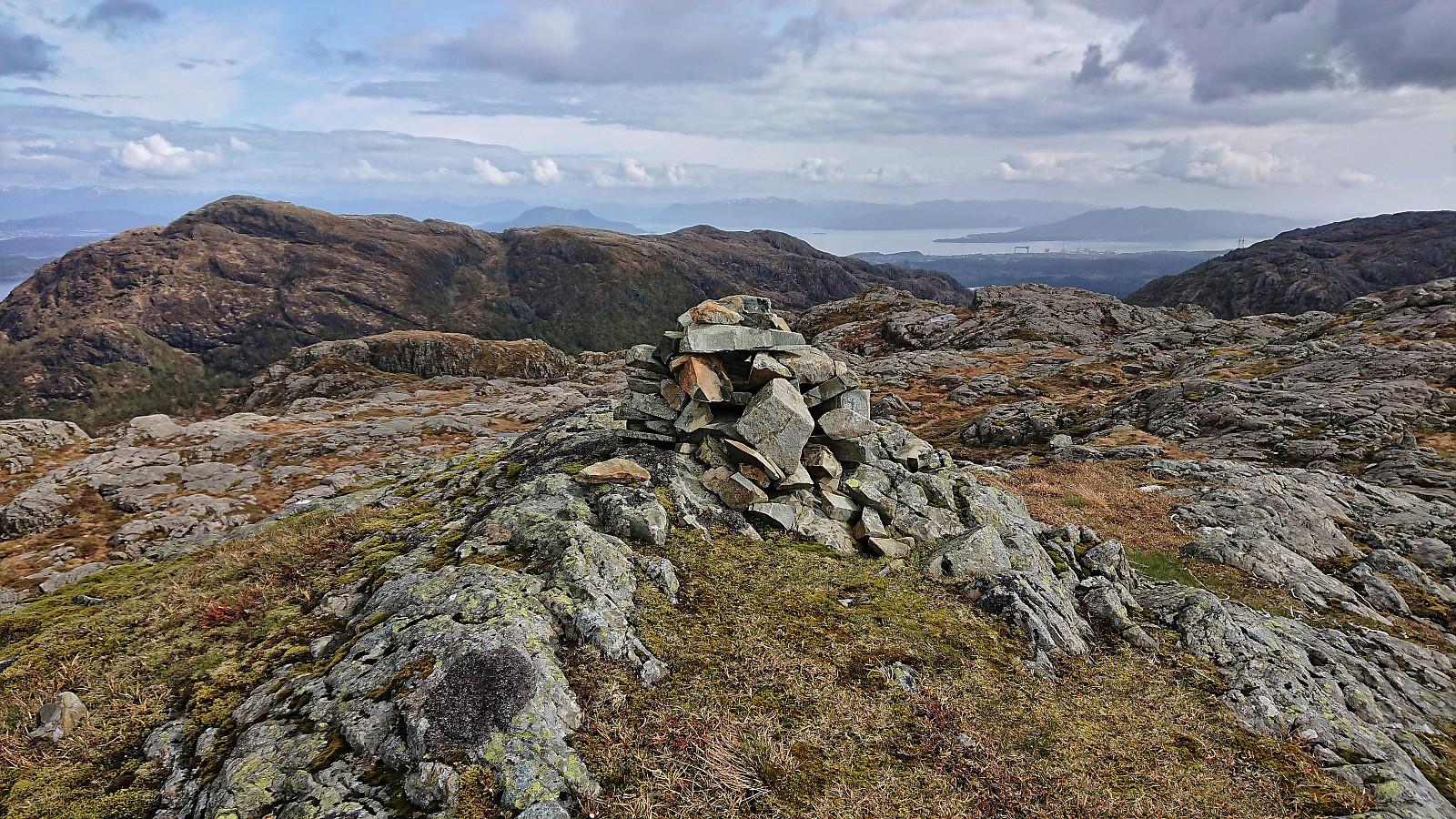
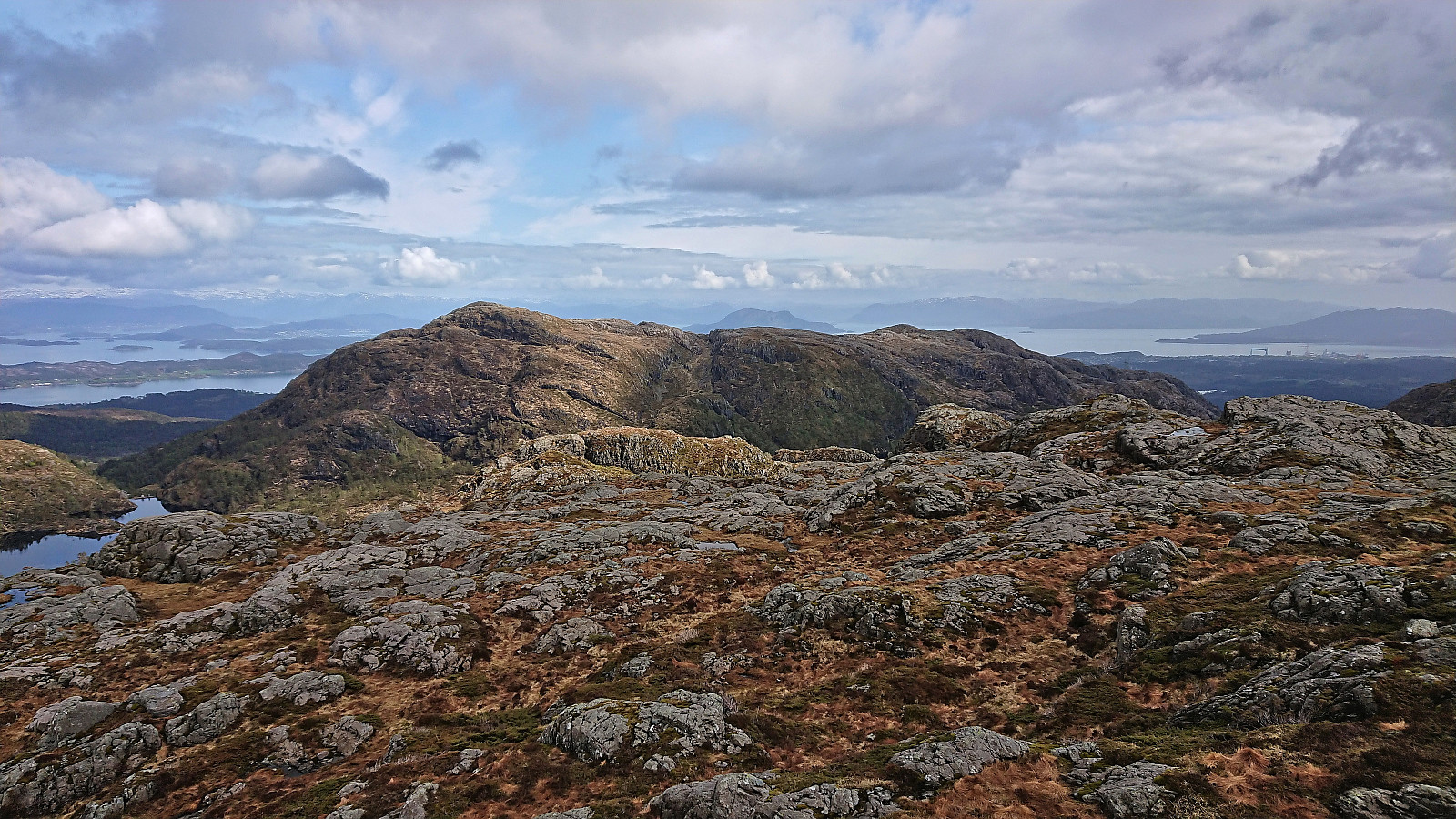
Budalsfjellet consisted of two summits, each with its own small cairn, of which the northern one was clearly the highest. Both provided excellent views and great overviews of the already visited peaks. Stovegolvet was also very prominent in the background. After another short break, I descended to Ravatnet and continued east along the marked trails. This last stretch north of Steingilshøgda provided by far the worst trails of the hike. Basically just a continuous wet area with red trail markers showing the way. Thankfully I had my hiking boots on and thus managed to stay relatively dry.
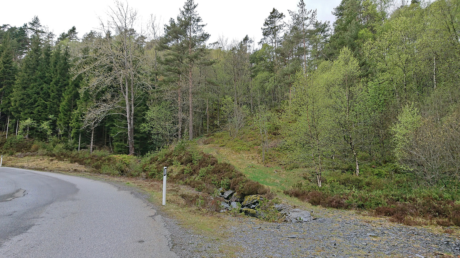
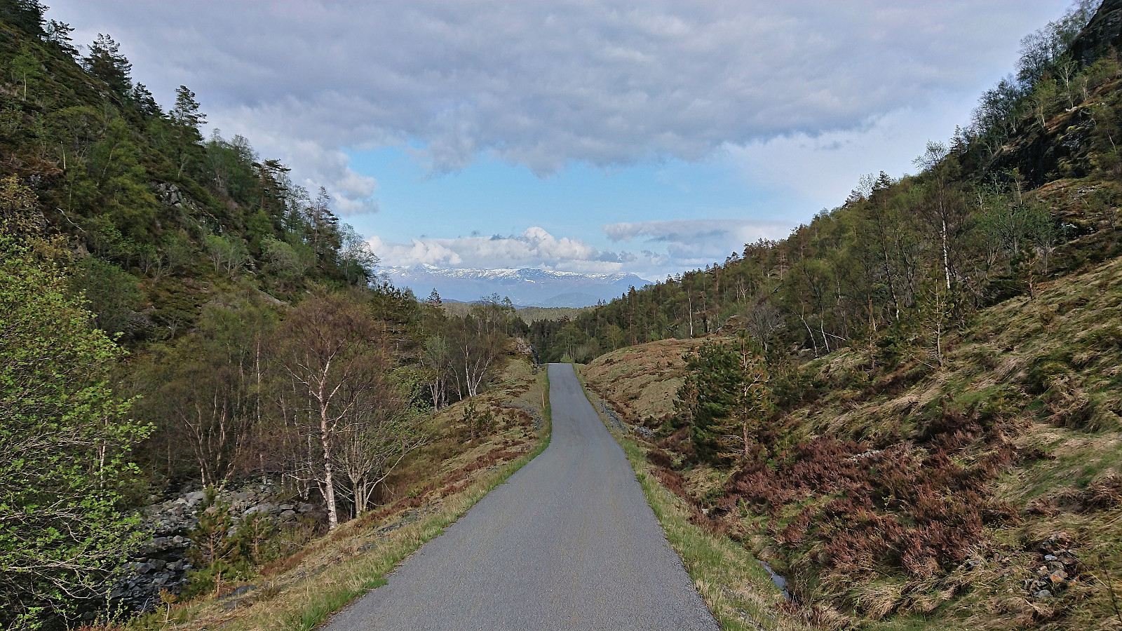
Upon reaching the paved road in Tysseskaret, all that was left was the walk back to Grov. To make this part slightly more interesting I went for alternative routes where possible, thus passing by Fjellstova on the way and trying the southern option from Lundsetervegen to E39. The latter consisting of a straight and relatively boring gravel road. With regards to Fjellstova, I later discovered that their web page claims that Fjellstova is located at 324 meters above sea level, while the map indicates that the correct value is around 204. Unsure how such a big difference can be explained?
In summary, a highly enjoyable hike along marked trails with excellent views along the way. The only negative being the at times poor trail quality, especially the large wet areas north of Steingilshøgda, hence waterproof footwear is recommended.
With this hike I complete the Stord ≥ 100m pf. list! Although I'm not quite done with the island of Stord yet, as I still have a couple of summits left in Fitjar, i.e. the northern part of the island and will thus most likely return in the near future.
| Starttidspunkt | 15.05.2022 11:24 (UTC+01:00 ST) |
| Sluttidspunkt | 15.05.2022 18:36 (UTC+01:00 ST) |
| Totaltid | 7t 11min |
| Bevegelsestid | 6t 24min |
| Pausetid | 0t 47min |
| Snittfart totalt | 3,3km/t |
| Snittfart bevegelsestid | 3,8km/t |
| Distanse | 24,0km |
| Høydemeter | 1196m |


Kommentarer