
Vestrefjellet and Snjonipa roundtrip from Tyssebotn (16.07.2021)

Written by hbar (Harald Barsnes)

| Start point | Tyssebotn kai (2m) |
|---|---|
| Endpoint | Tyssebotn kai (2m) |
| Characteristic | Hillwalk |
| Duration | 8h 22min |
| Distance | 24.5km |
| Vertical meters | 1,598m |
| GPS |
|
| Ascents | Snjonipa (669m) | 16.07.2021 |
|---|---|---|
| Vestrefjellet (573m) | 16.07.2021 | |
| Visits of other PBEs | Moen (126m) | 16.07.2021 |
| Vaulelvbrua (97m) | 16.07.2021 |
Vestrefjellet and Snjonipa roundtrip from Tyssebotn
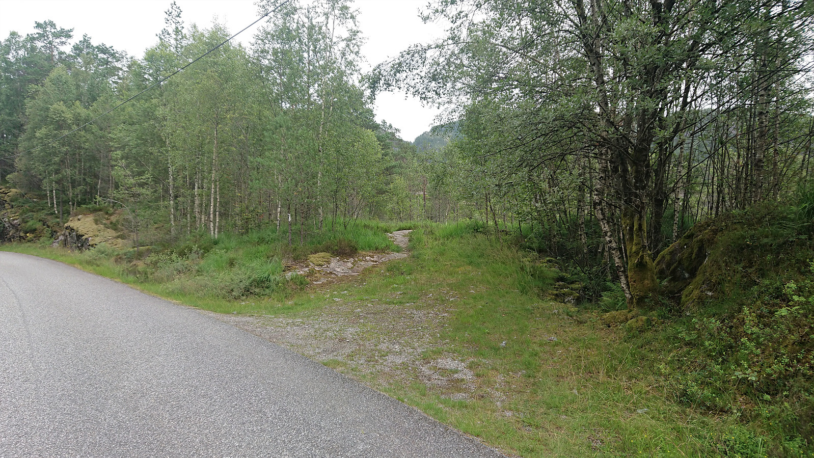
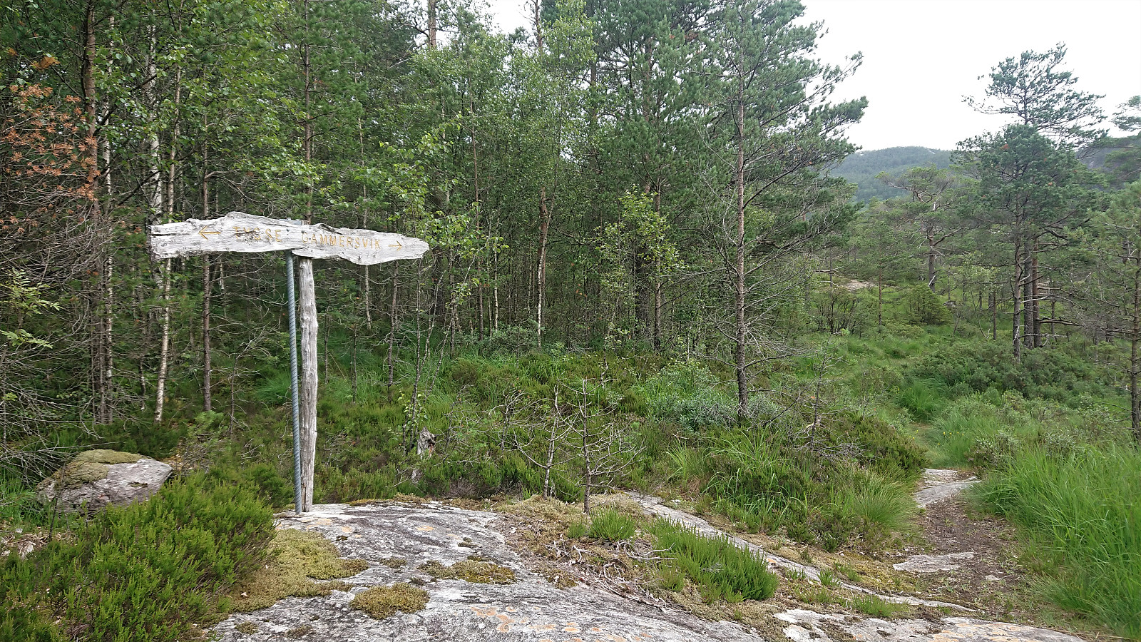
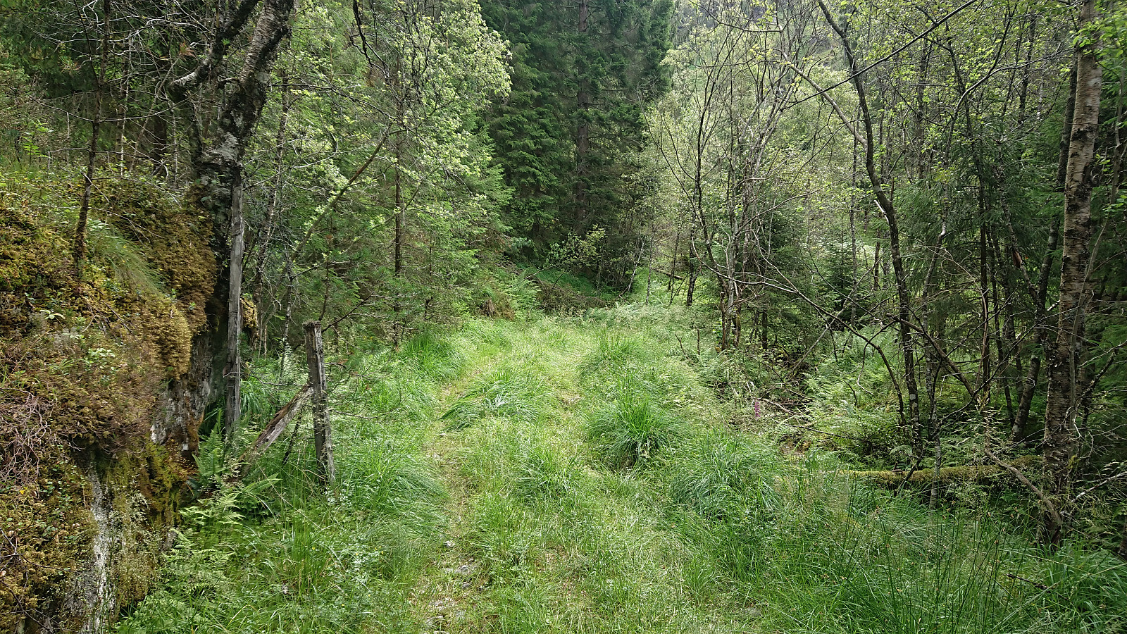
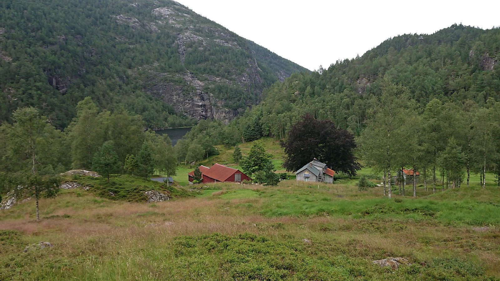
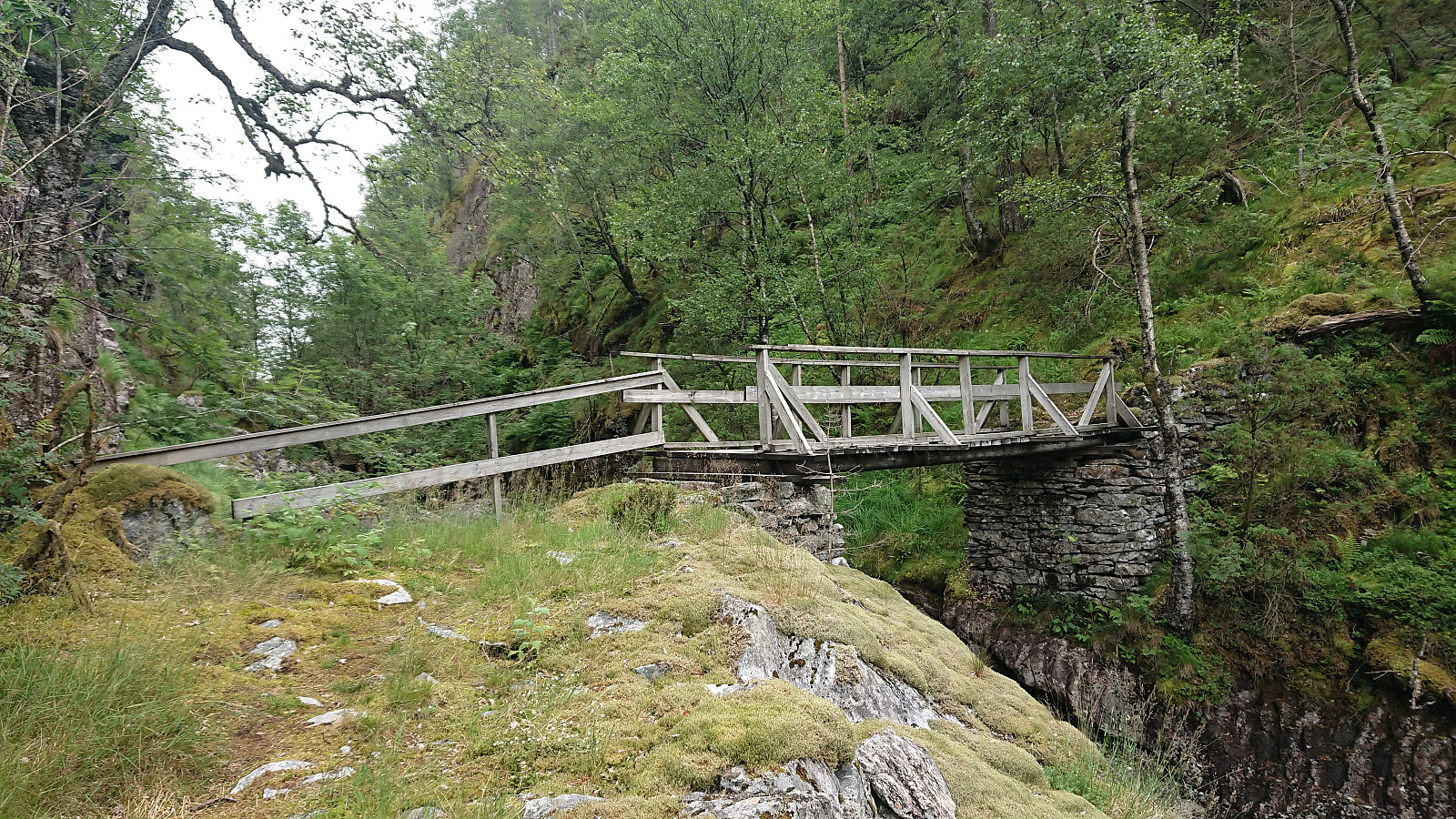
I started by taking the first bus to Tyssebotn on a Friday morning, where I was the only passenger on both the bus and the ferry from Breistein to Valestrand. From Tyssebotn, I walked along the road to the trailhead for Gammersvik south of Kleiveland. I proceeded to follow this unmarked but easy to follow trail to Vaultjørna. After a quick visit to Vaulelvbrua to check that both it and the trail on the other side was there and of ok quality (as it would be quite important when later returning along that route), I backtracked about 100 meters to a trail/deer track I had noticed just after crossing the small stream north of Vaultjørna.
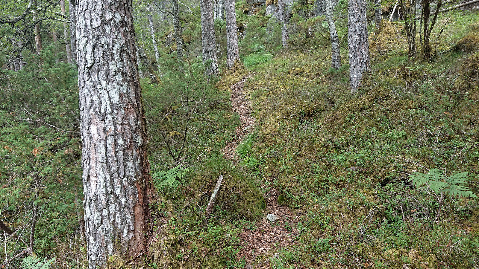
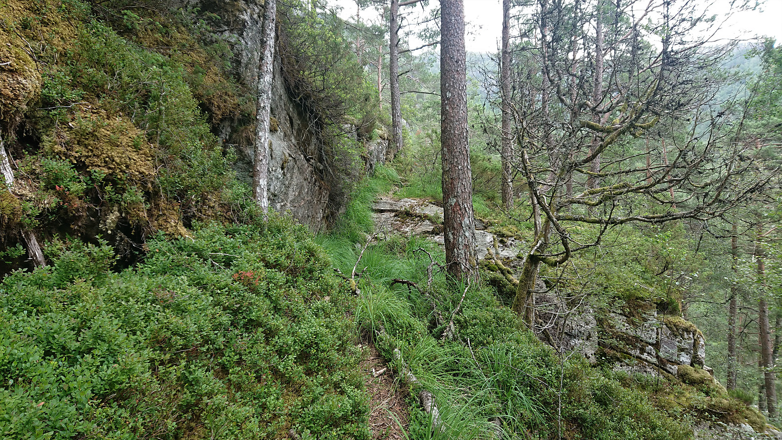
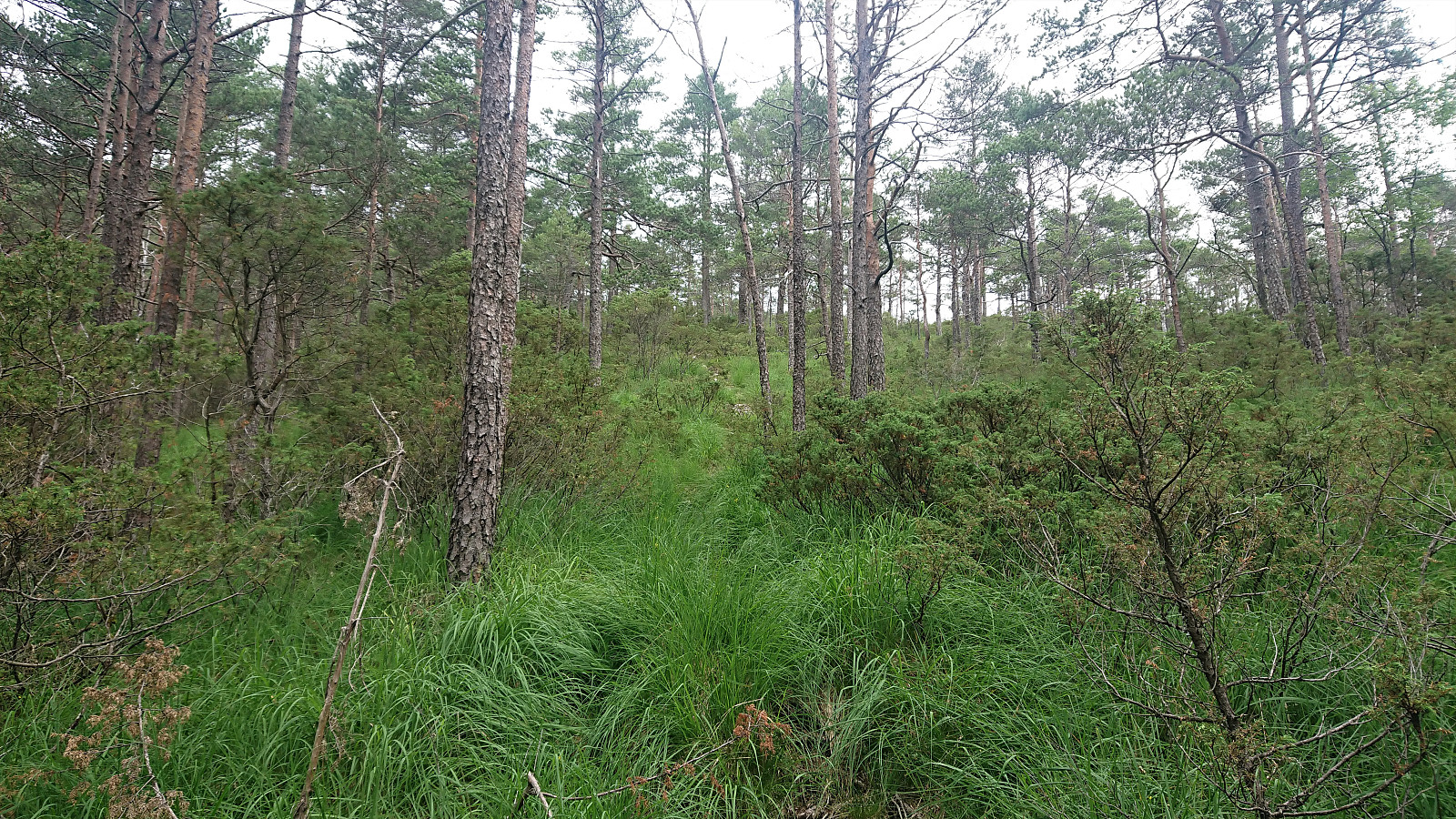
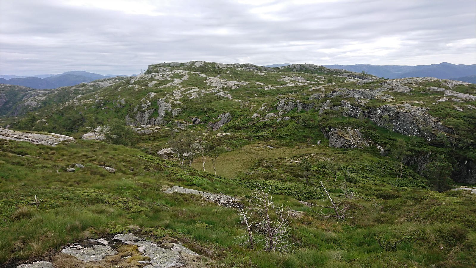
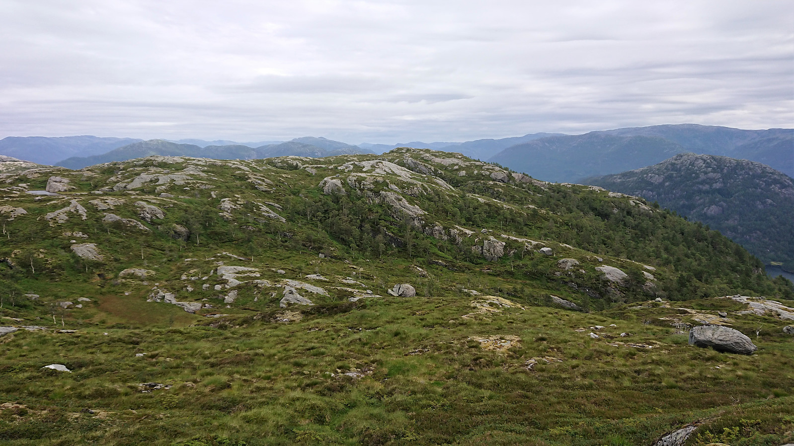
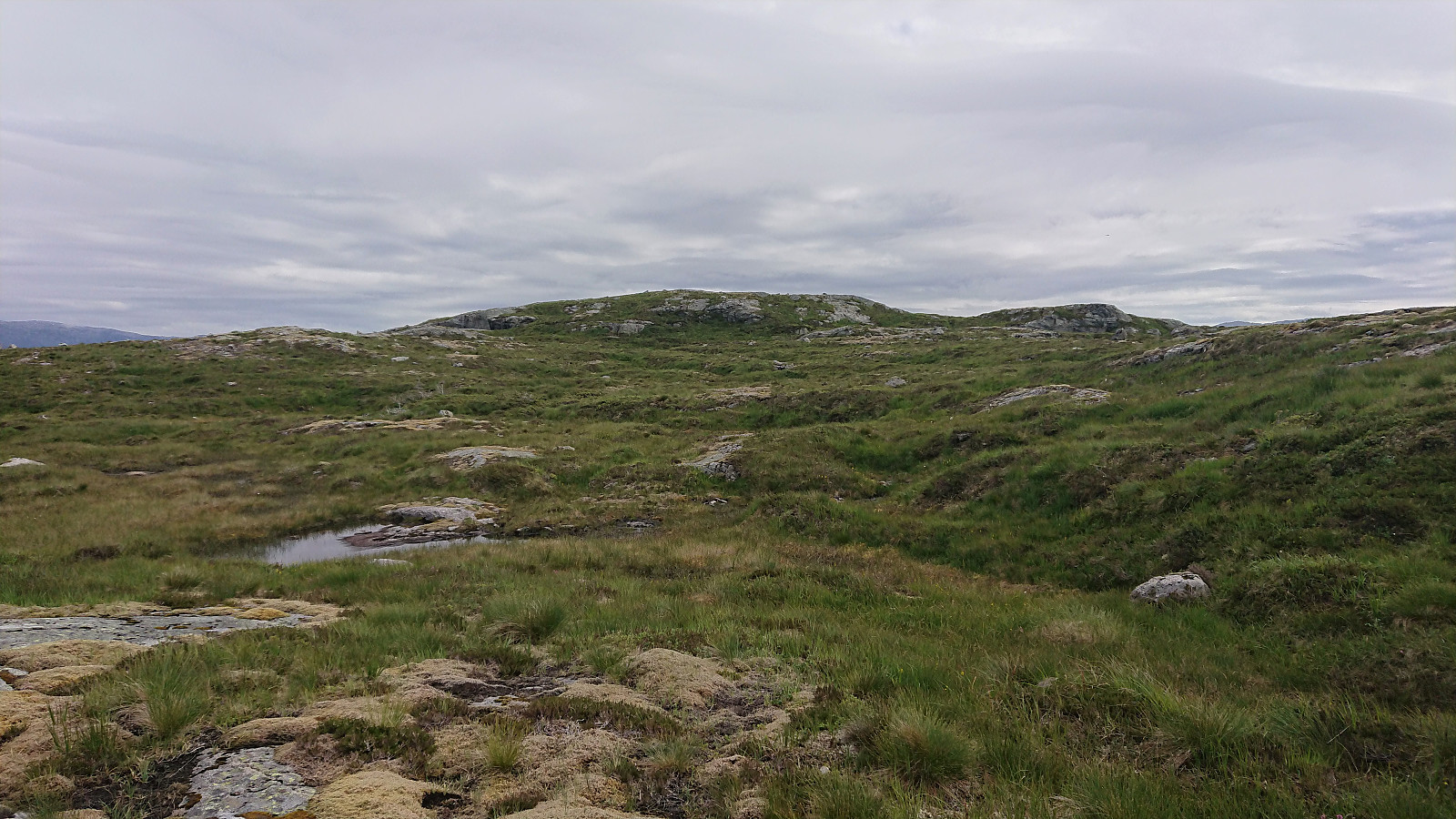
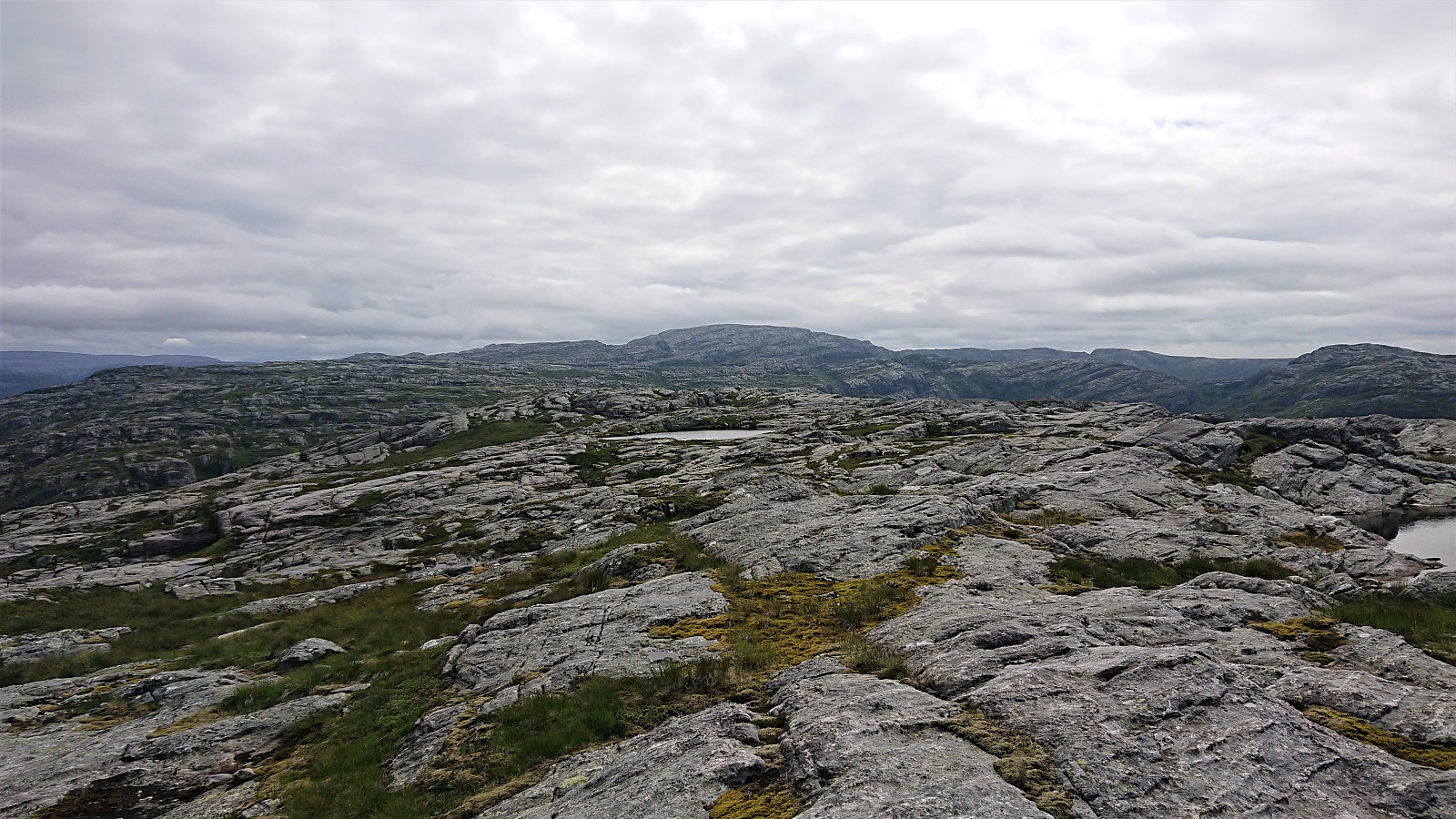
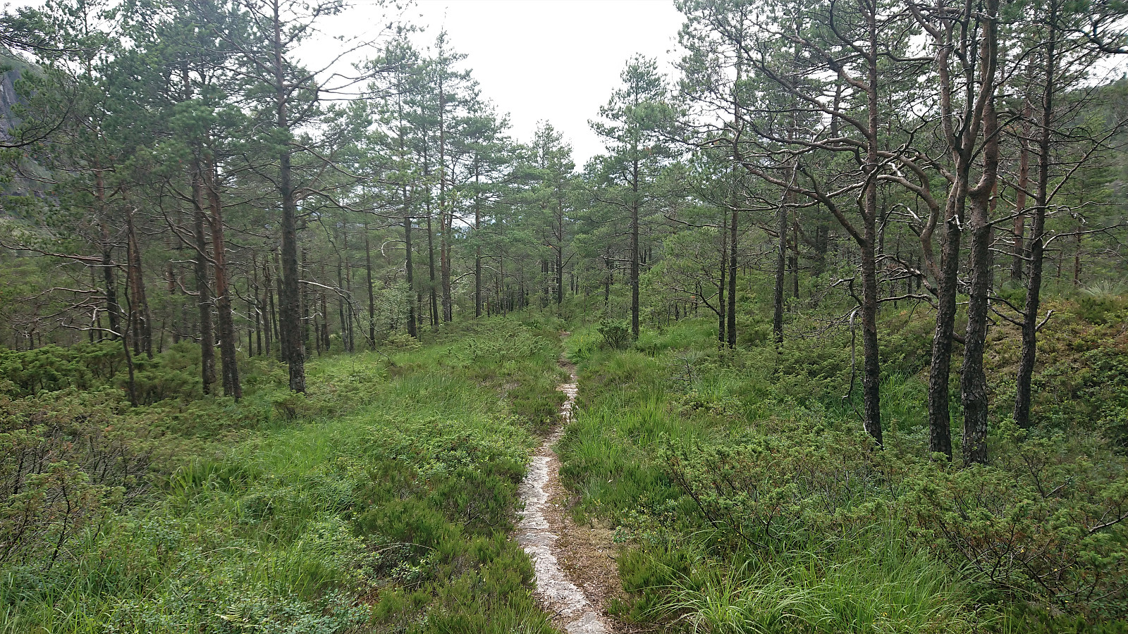
By following this track, I easily ascended the initial steep section on my way northeast towards Vestrefjellet. The track however soon more or less disappeared, and I was left making my own way following various deer tracks when they seemed to head in the wanted direction. And while there were some minor fights with the low vegetation, the progress was overall pretty good. Well, until I, while ducking under one branch, managed to hit my head on a second branch as I was coming back up. But after more or less managing to stop the bleeding, I continued towards the summit, where the terrain thankfully soon opened up and there were even a couple of small lakes in which I could clean up most of the blood.
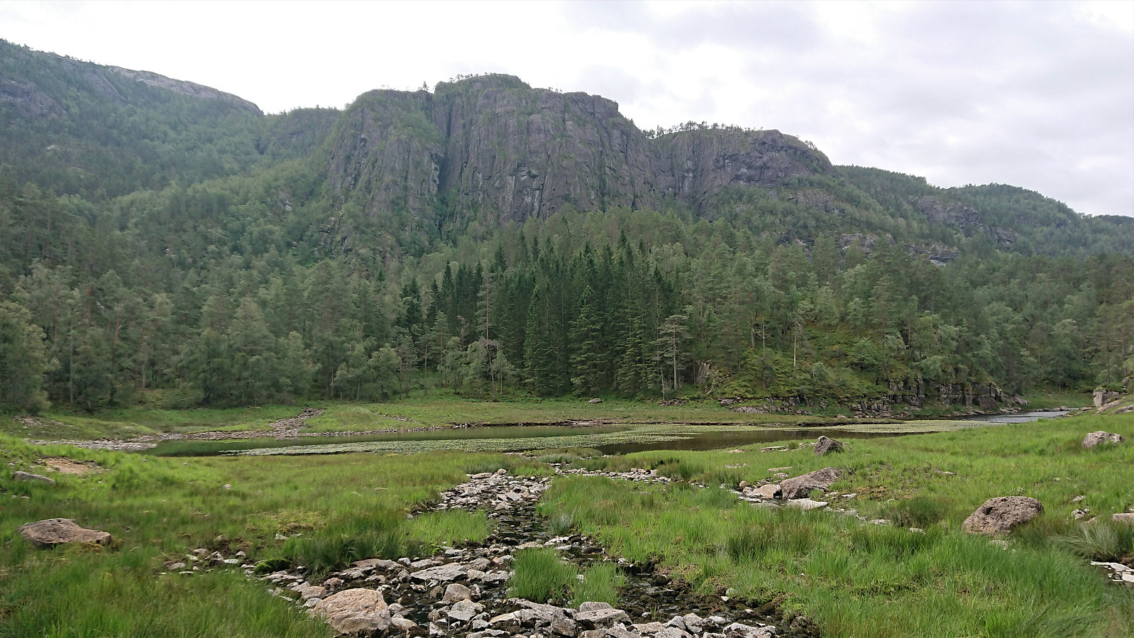
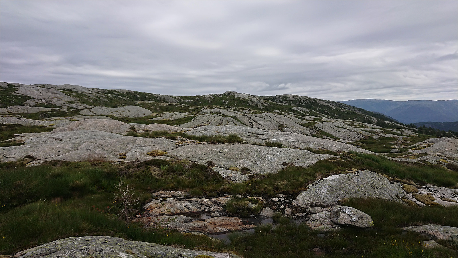
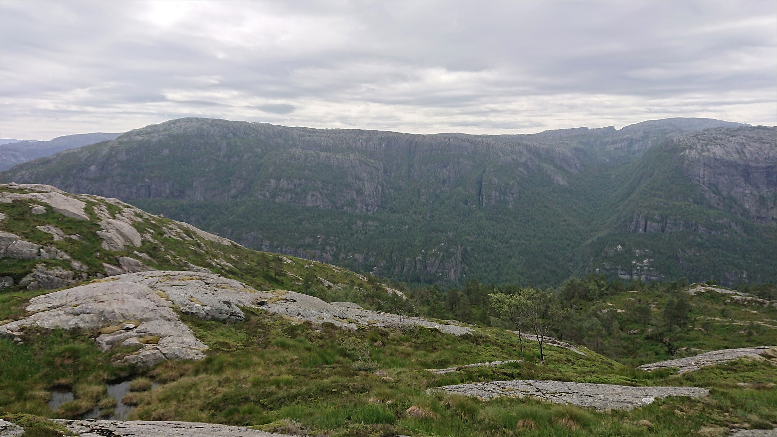
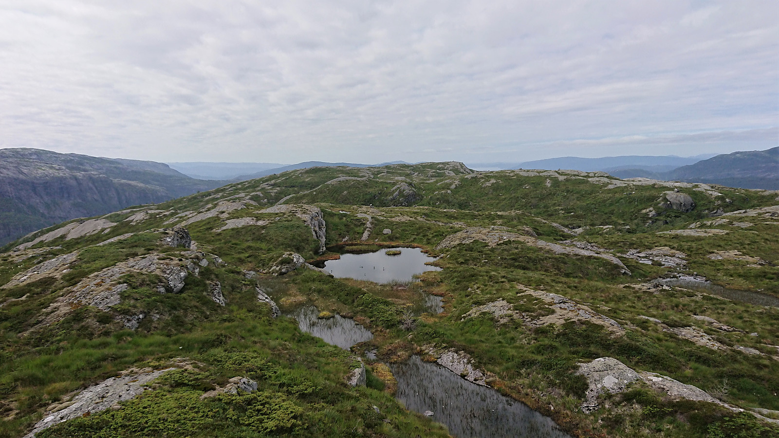
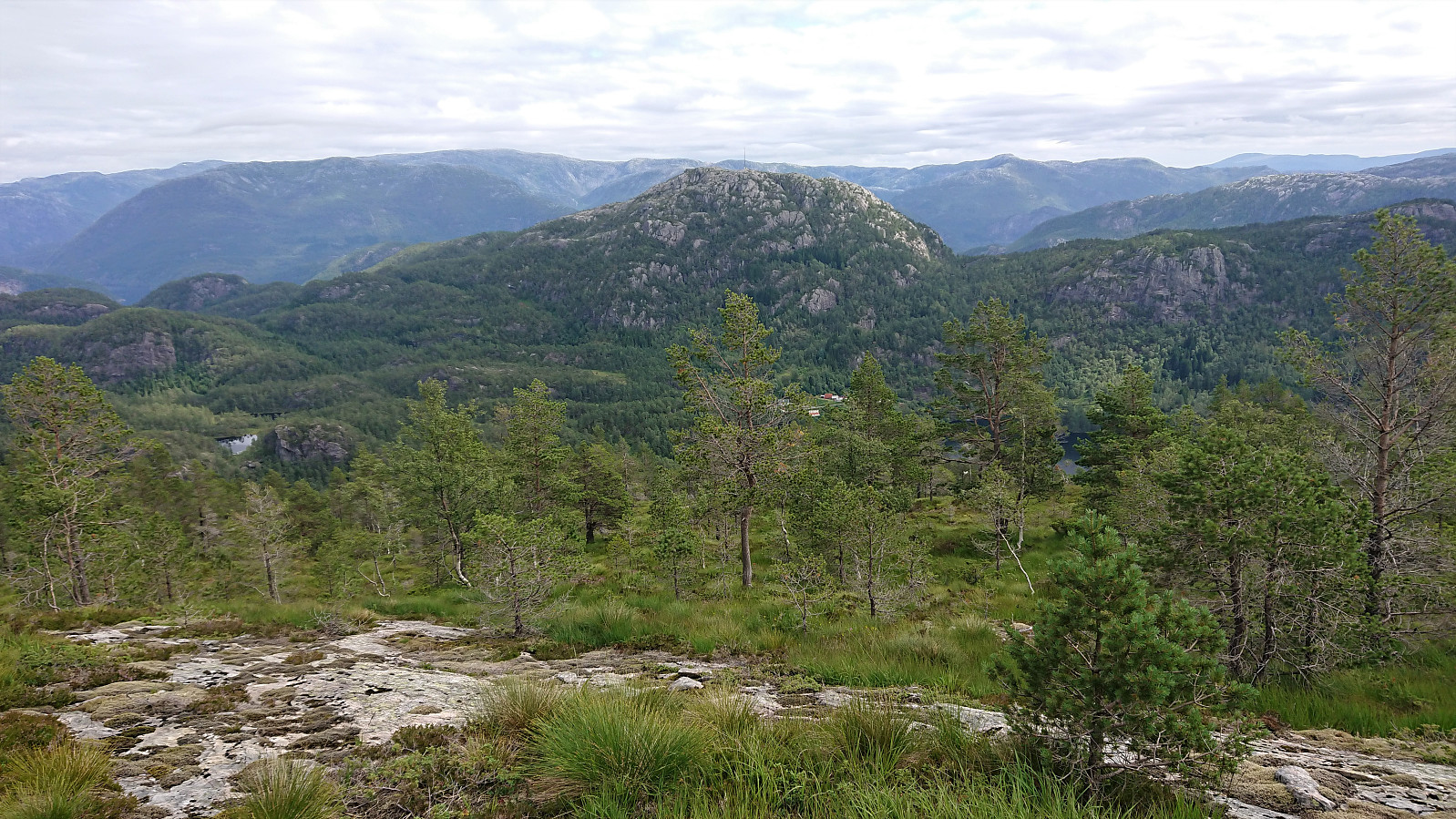
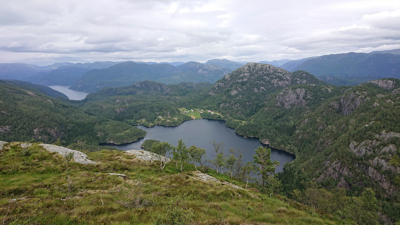
On my way to the summit, I passed by Høgenipo and what is called Vestrefjellet on the map, both slightly lower summits than the main one (which is just called Nipo on the map). Both providing excellent views and well worth the minor detours. Soon the summit of Vestrefjellet was reached without any real difficulties (well besides the less than welcoming branches along the way…), and it also provided a nice view and a good location for my lunch break.
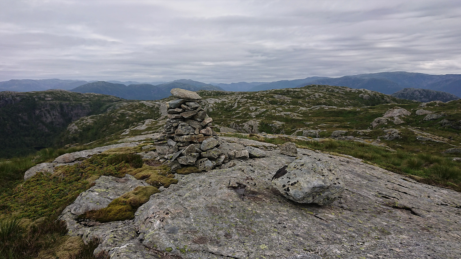
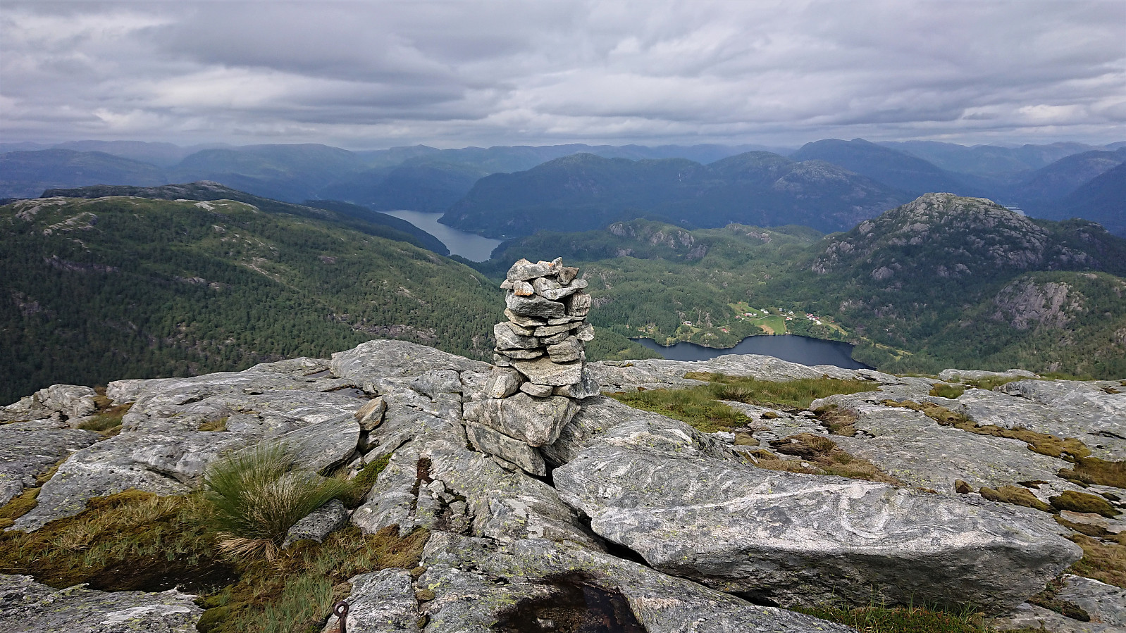
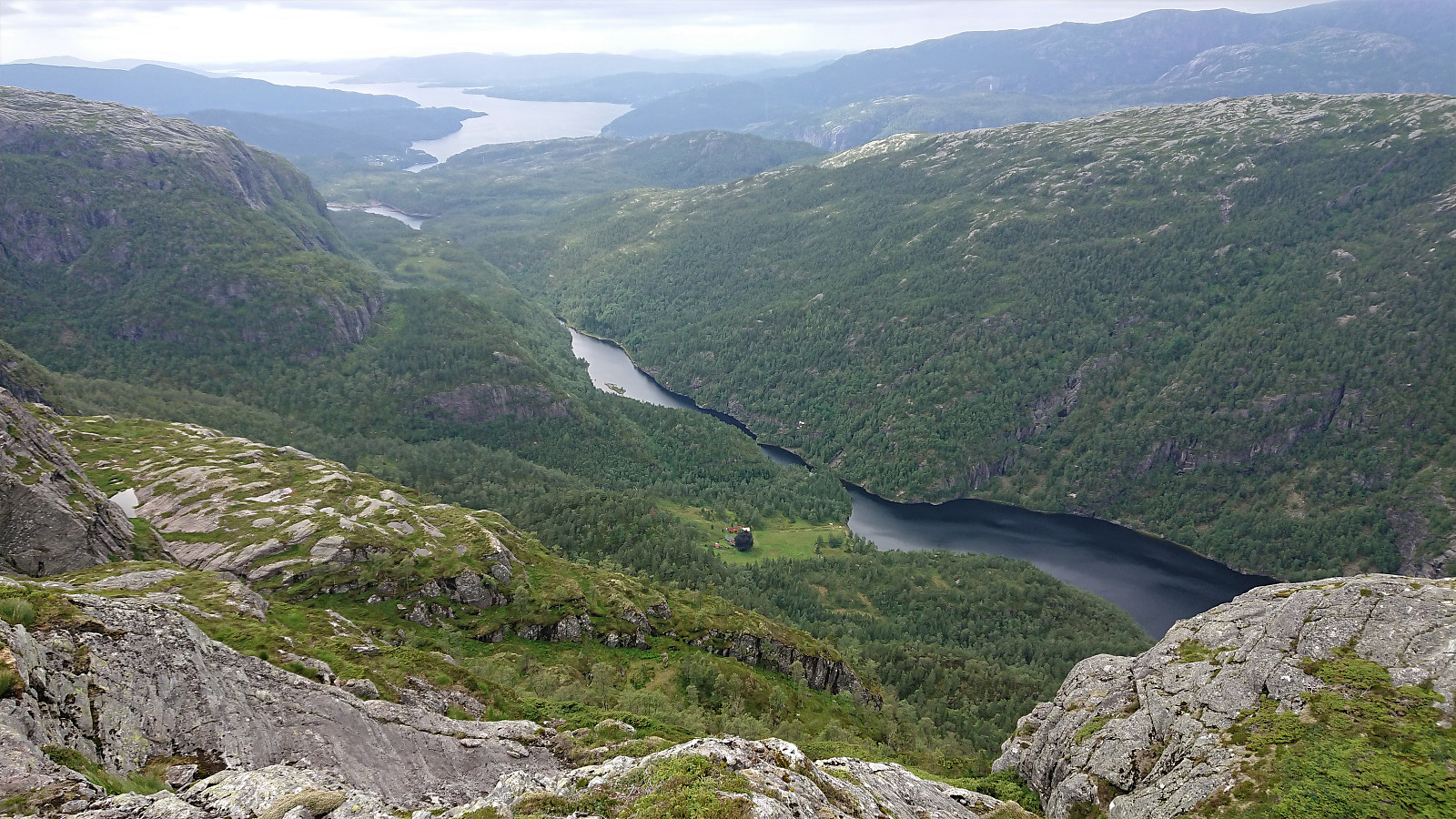
Given that getting to the summit of Vestrefjellet had only taken me about 2.5 hours, I decided to go ahead with my plan of descending into Toskedalen, rounding Toskedalsvatnet, and then returning via Snjonipa. I did not see any clear trails in this direction, but I did spot a large cairn to the northeast and started in that direction. This turned out to be a mistake, as I quickly ended up in terrain I considered as too steep. A bit of backtracking was therefore needed before finding a less steep descent route.
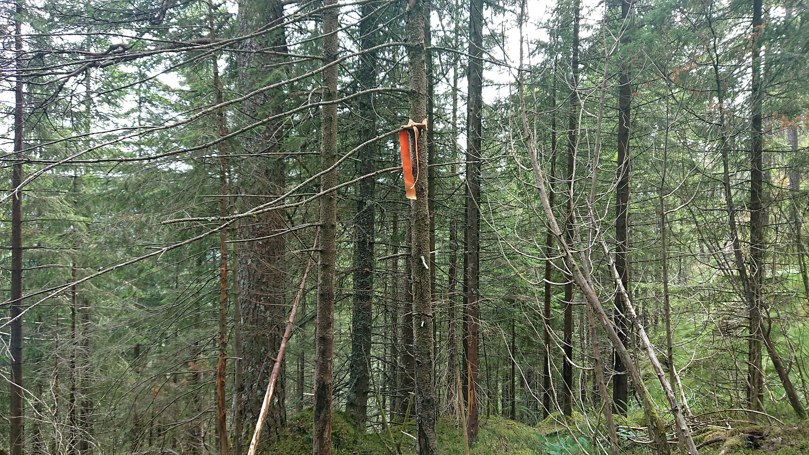
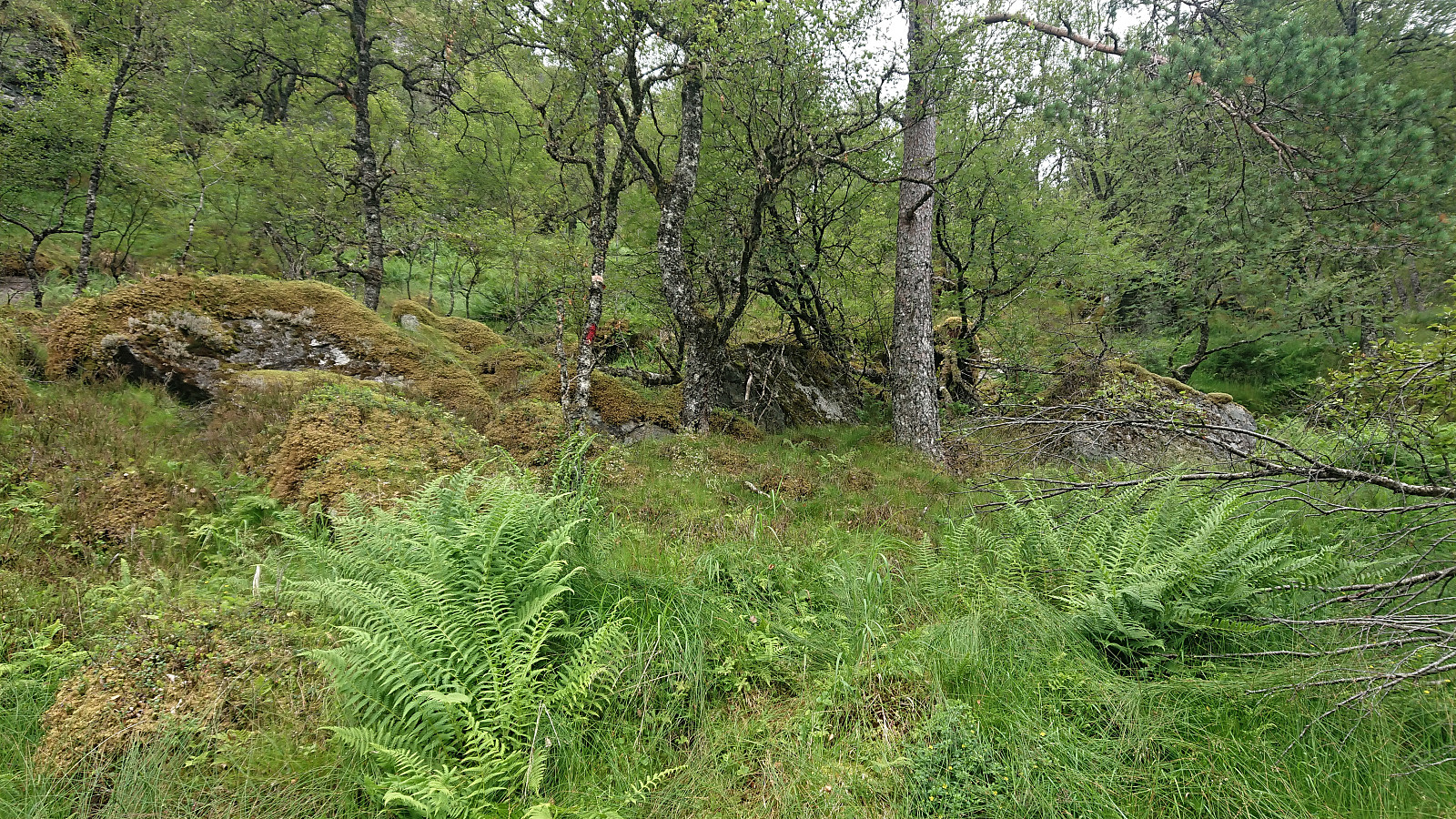
Note that in Runemb (Rune Blomberg)'s trip report he writes about there being a poorly marked trail (both in terms of the markings and of the trail itself). I did not see any traces of such a trail at all, but I did come across one orange trail marker, although it was not of much use on its own. Finding my own off-trail route was however not too difficult, and at the very end I even connected with a tractor road just before reaching the gravel road north of Toskedalsvatnet.
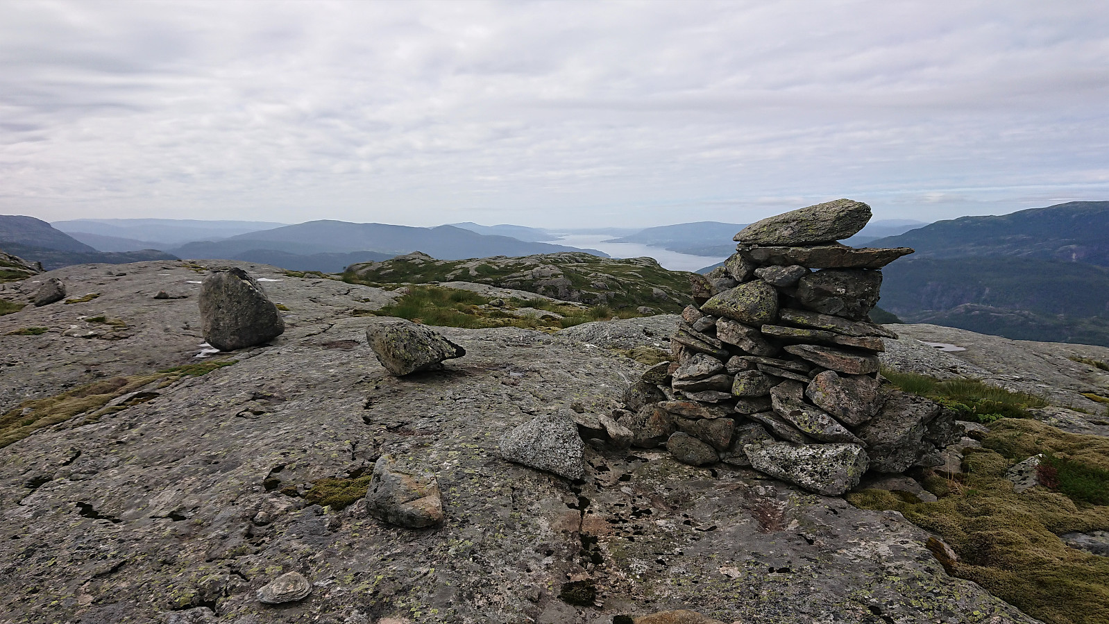
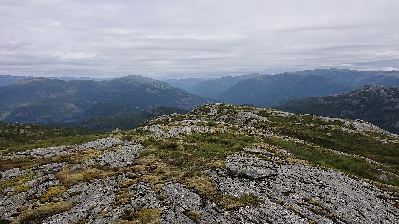
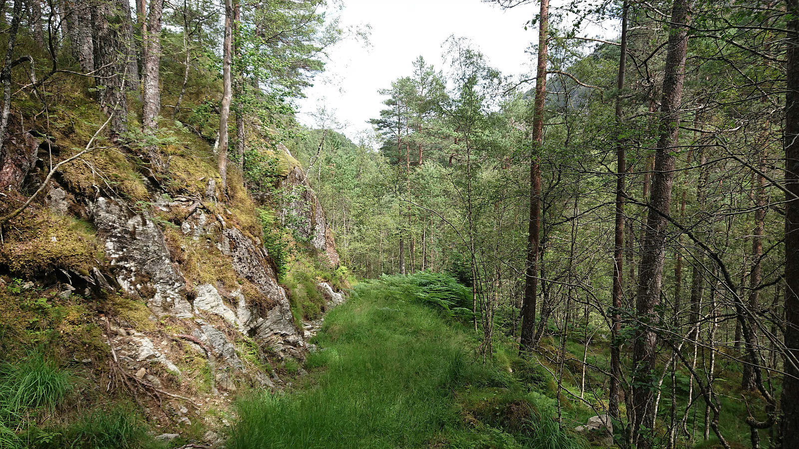
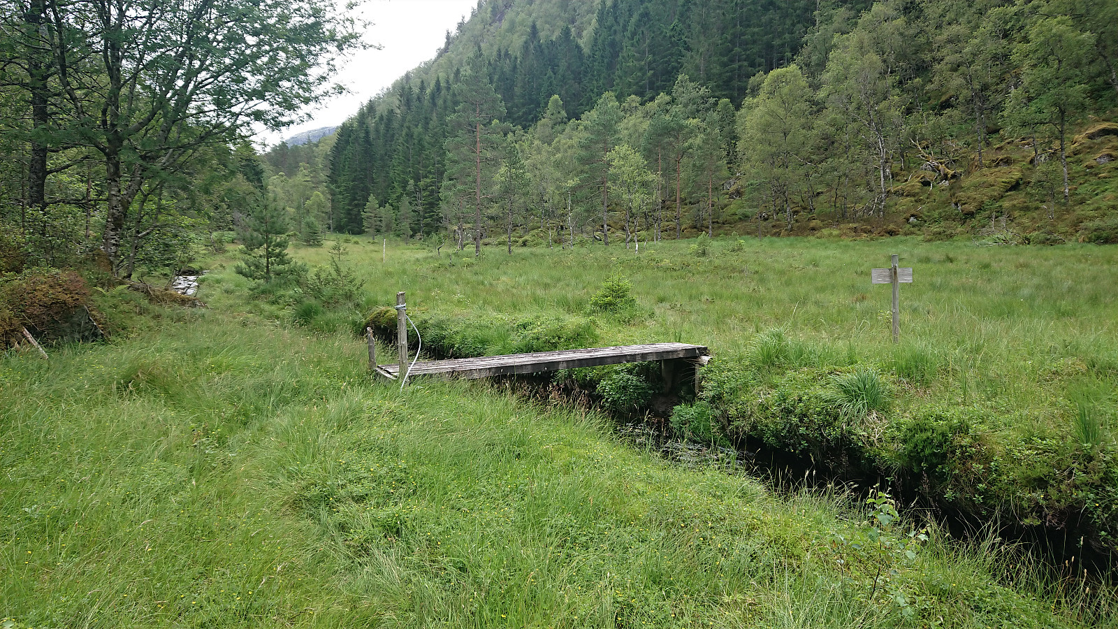
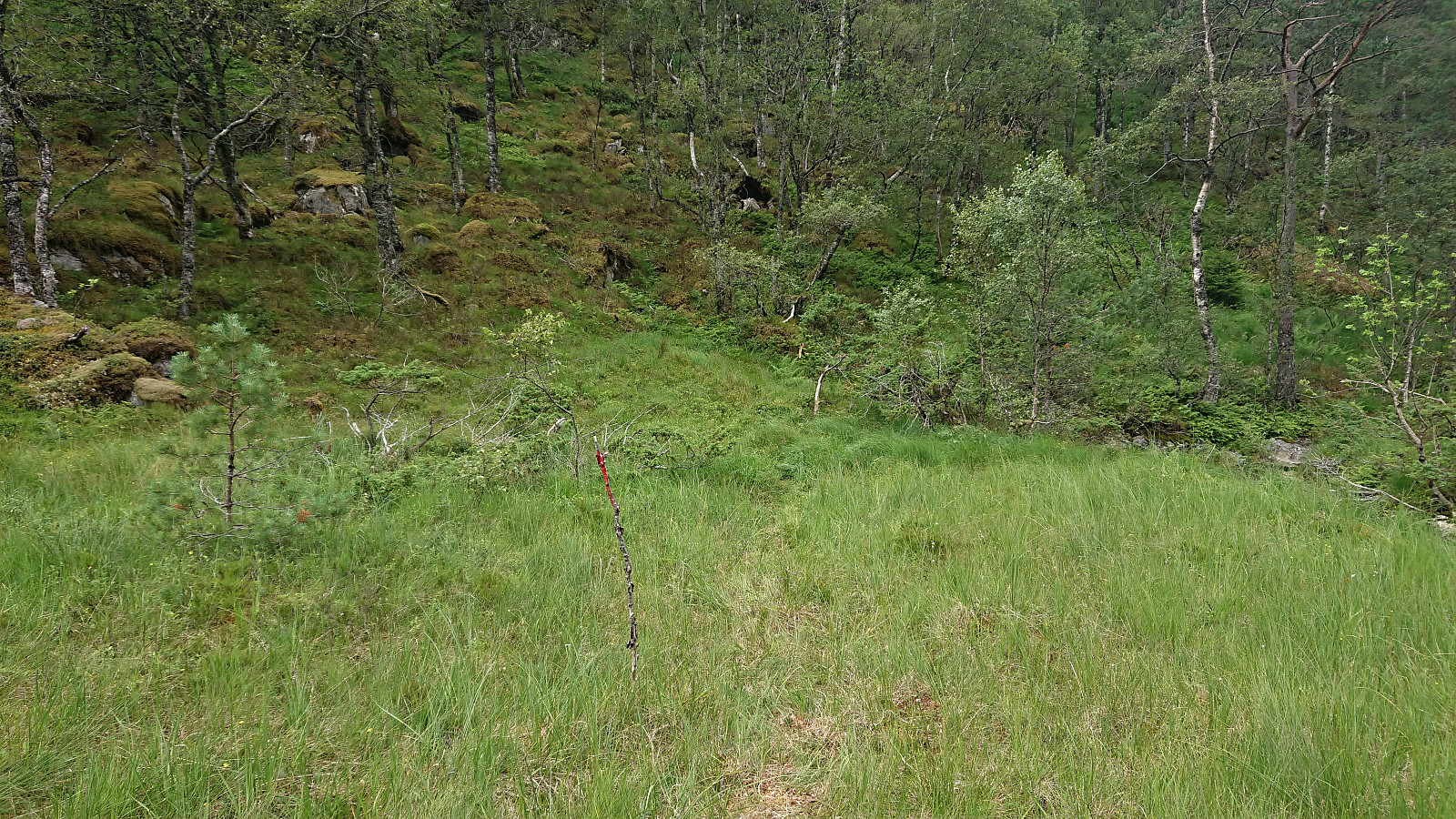
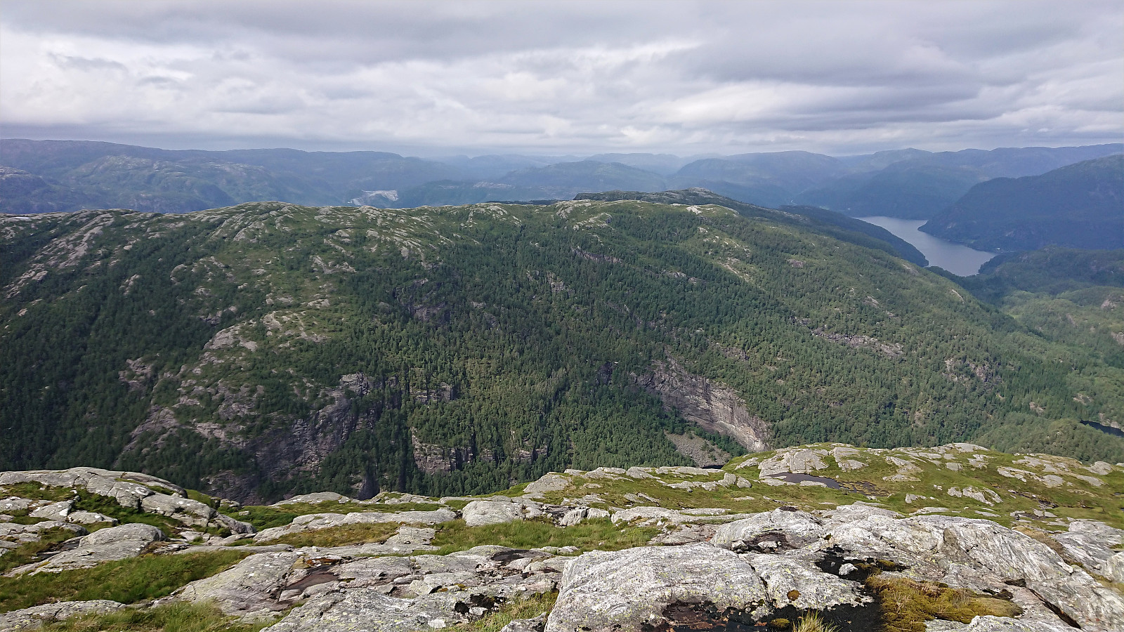
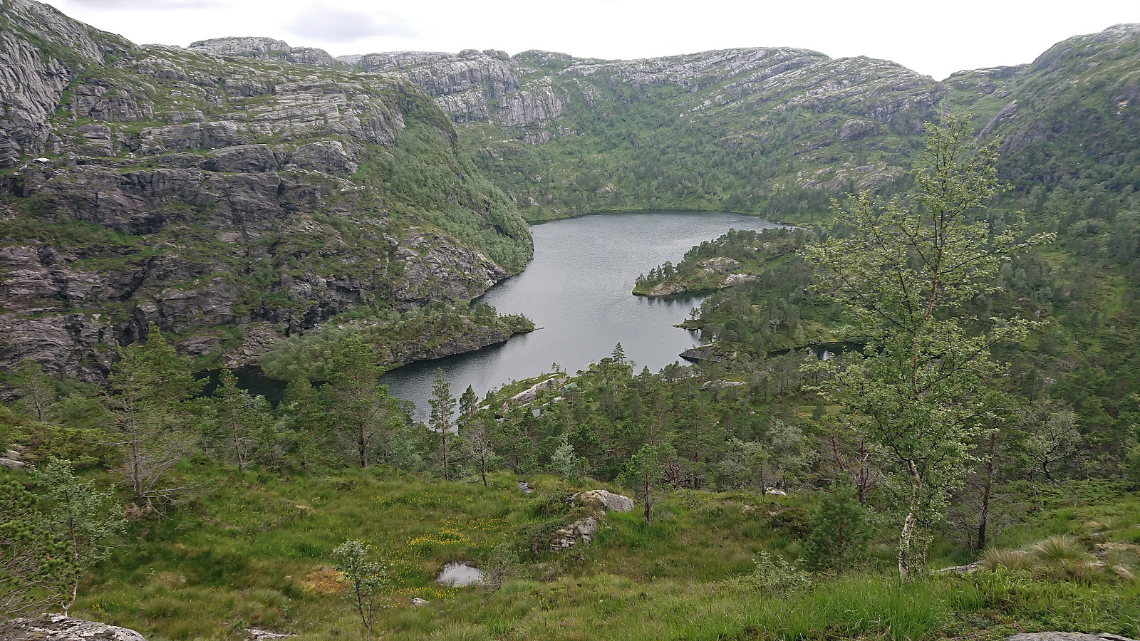
After rounding Toskedalsvatnet, and getting confirmation from a local that the trail down from Fjellbotnvatnet that I was planning on using was there and of ok quality, I was ready start my ascent of Snjonipa. The trailhead was easy to locate, as the trail markers started just after crossing the bridge in the valley east of Snjonipa called Dalen. Note however that while the trail was clearly marked with a combination of red paint and orange ribbons, the trail itself was overall much more difficult to spot. But by paying close attention to the markers it was still straightforward to follow the recommended route to the summit, which again provided excellent views.
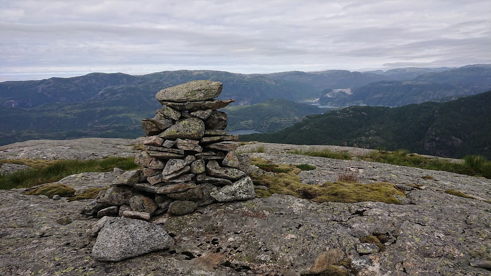
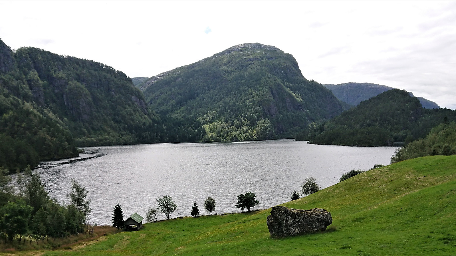
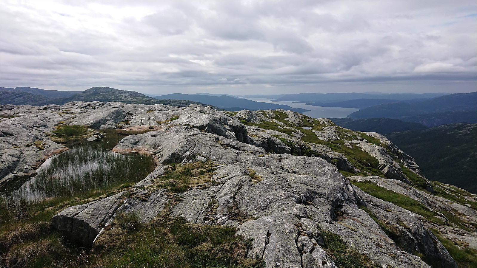
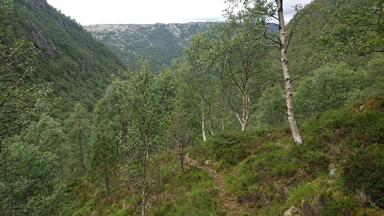
From the summit, I continued southwest along the ridge in the direction of Fjellbotnvatnet. This was overall straightforward with only a couple of steep areas that had to be avoided. As soon as I reached the cabin at the north end of the lake, there was a trail that I could then follow all the way down to Moen. And while the trail was partially hidden a couple of times, it was generally easy to follow and greatly simplified the descent along the river.
Upon reaching Moen, I turned west and followed the trail back to the bridge across Vaulelva, thus completing my roundtrip across Vestrefjellet and Snjonipa. I was surprised by how far above the river the trail took me, as this was clearly different from what was indicated on the map. But I was on a trail for the whole time and I do not think I missed any splitting of the trail.
After a short break next to the bridge, I returned to the main road along the same route as before, trying to take it slow in order to reduce the waiting time for the bus as Tyssebotn. This was made easier by there being lots of blue berries along the trail. I still had plenty of time left though, and added yet another break along the road, thus arriving at the bus stop with around 15 minutes to spare.
In summary, a nice roundtrip that can be recommended for those wanting to visit Vestrefjellet and Snjonipa from the southwest and do not mind a bit of relatively easy off-trail hiking. If wanted, it should also be possible to only include one of the summits and rather return via the valley in between the two mountains.

| Start date | 16.07.2021 10:05 (UTC+01:00 DST) |
| End date | 16.07.2021 18:27 (UTC+01:00 DST) |
| Total Time | 8h 22min |
| Moving Time | 7h 06min |
| Stopped Time | 1h 16min |
| Overall Average | 2.9km/h |
| Moving Average | 3.5km/h |
| Distance | 24.5km |
| Vertical meters | 1,598m |


User comments