
Nesevarden, Kleppavarden and Hovåsen from Kongsviktjørna (13.05.2021)

Written by hbar (Harald Barsnes)

| Start point | Kongsviktjørna (56m) |
|---|---|
| Endpoint | Kongsviktjørna (56m) |
| Characteristic | Hillwalk |
| Duration | 1h 51min |
| Distance | 5.1km |
| Vertical meters | 363m |
| GPS |
|
| Ascents | Hovåsen (163m) | 13.05.2021 |
|---|---|---|
| Kleppavarden (295m) | 13.05.2021 | |
| Nesevarden (291m) | 13.05.2021 |
Nesevarden, Kleppavarden and Hovåsen from Kongsviktjørna
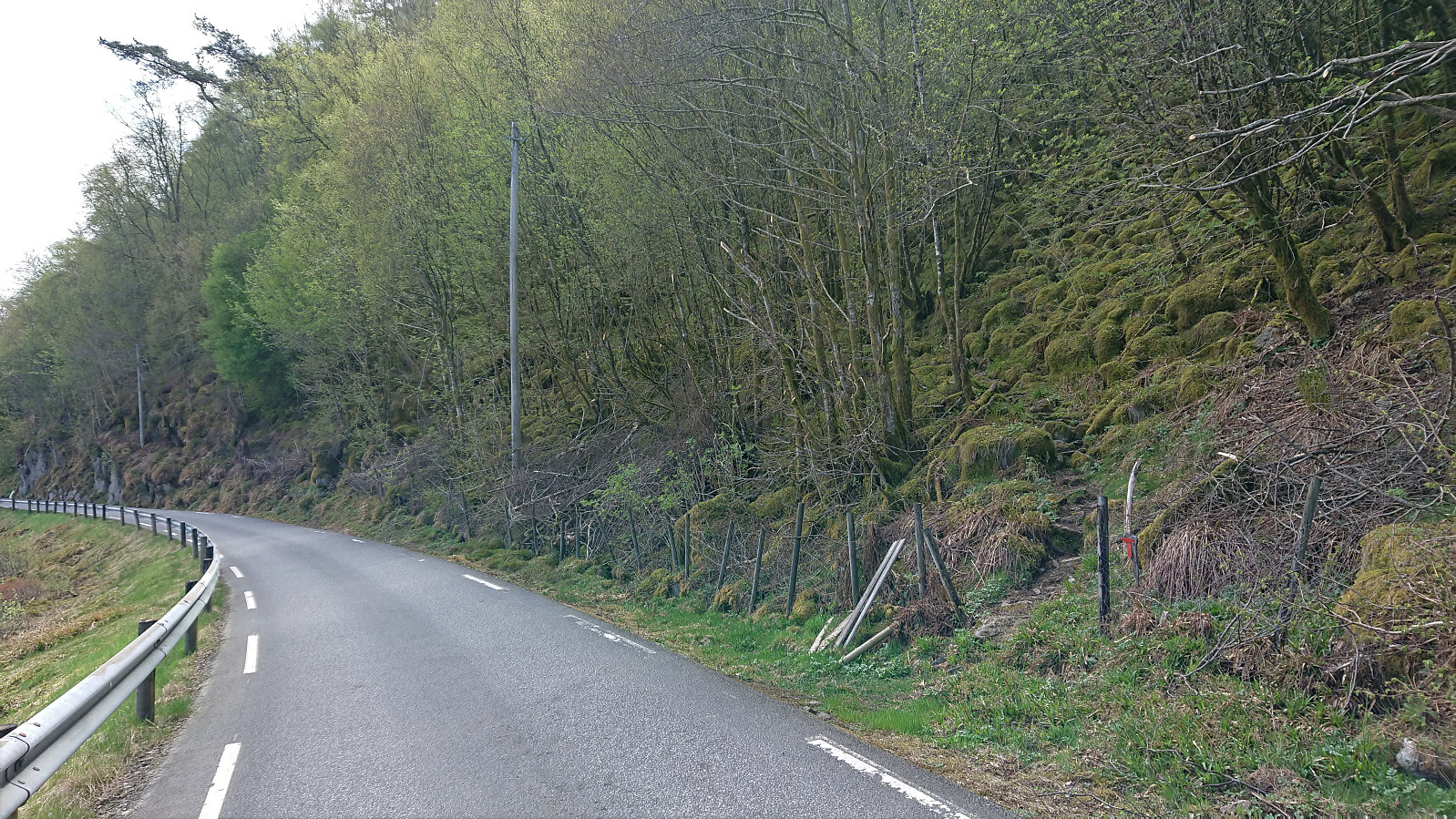
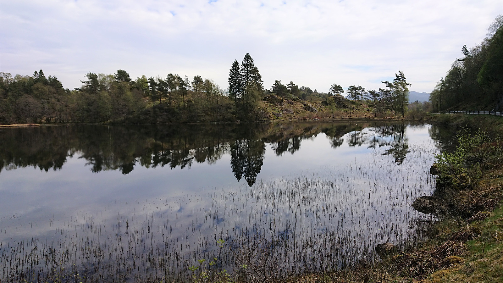
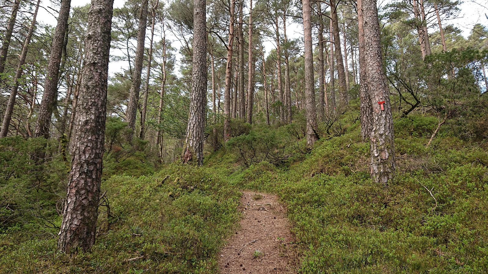
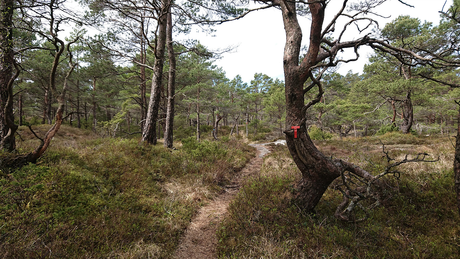
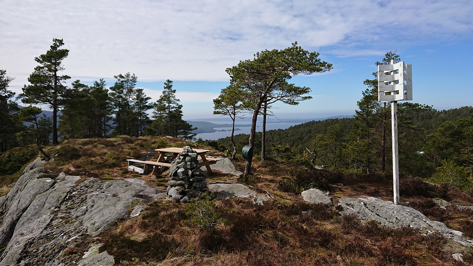
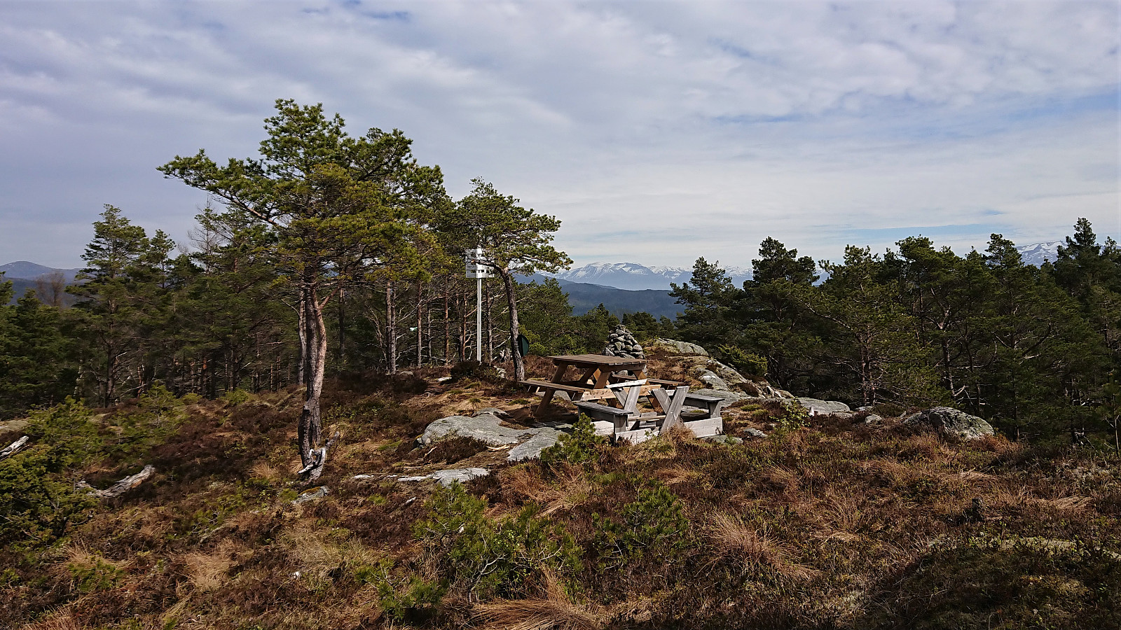
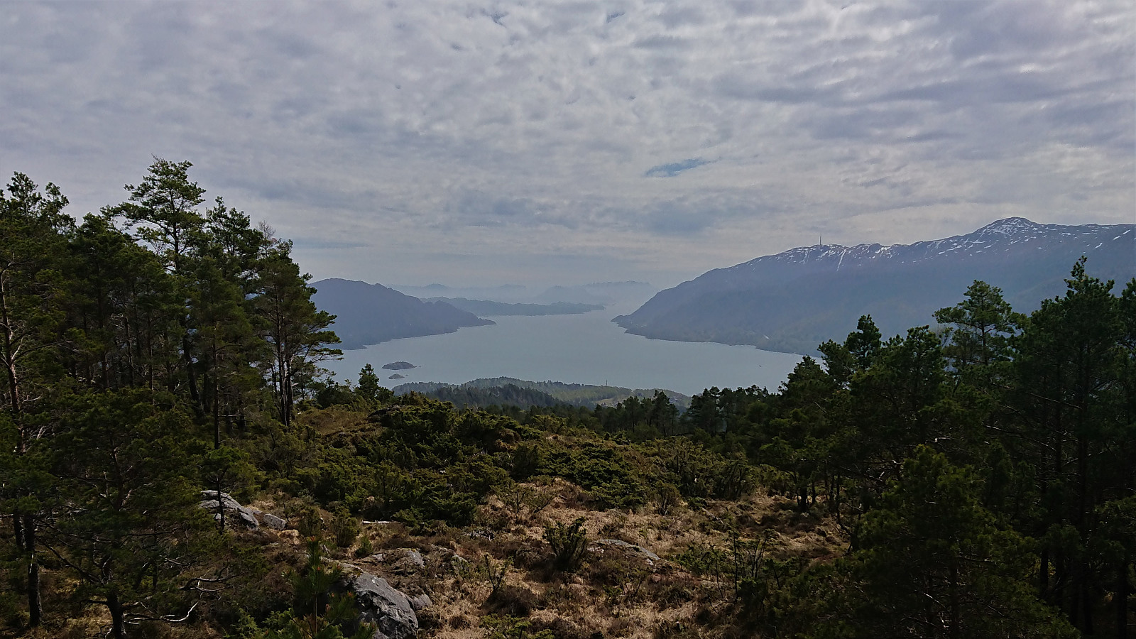
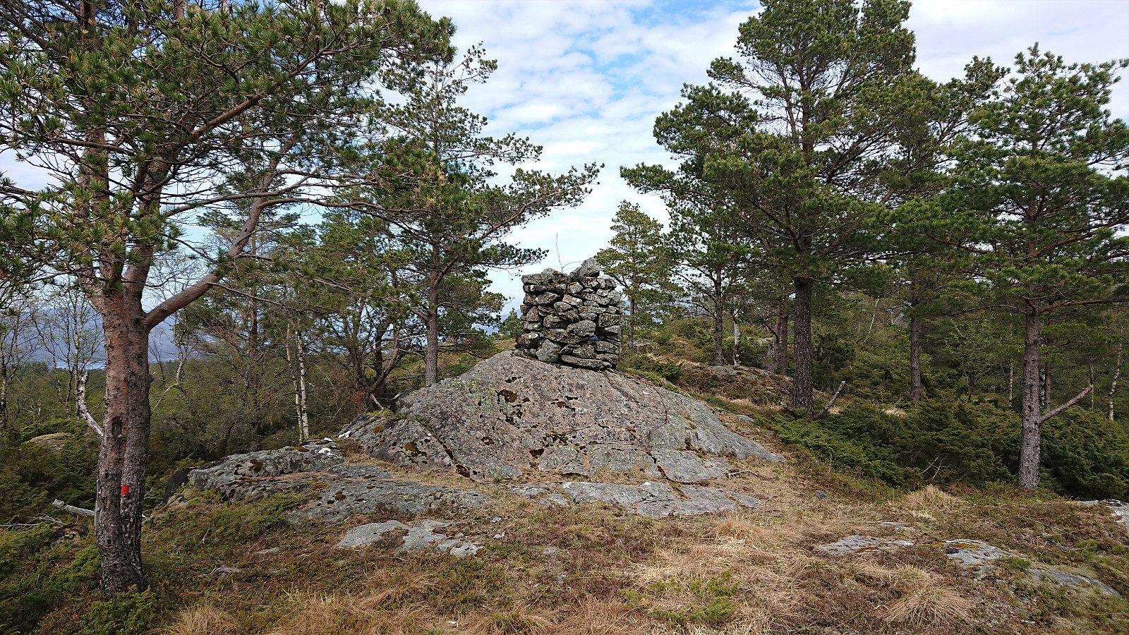
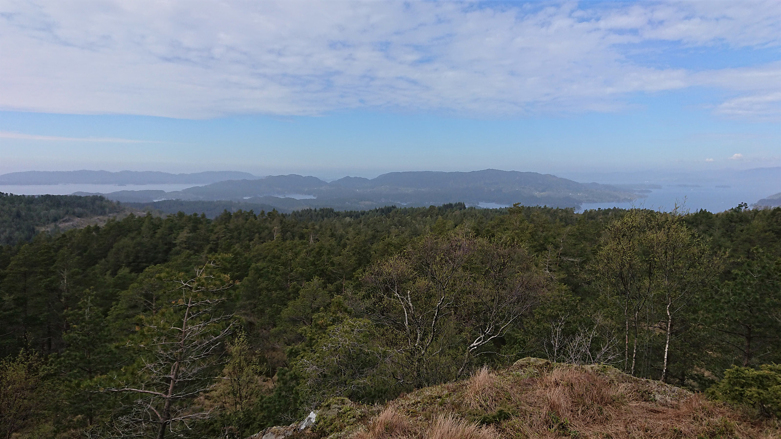
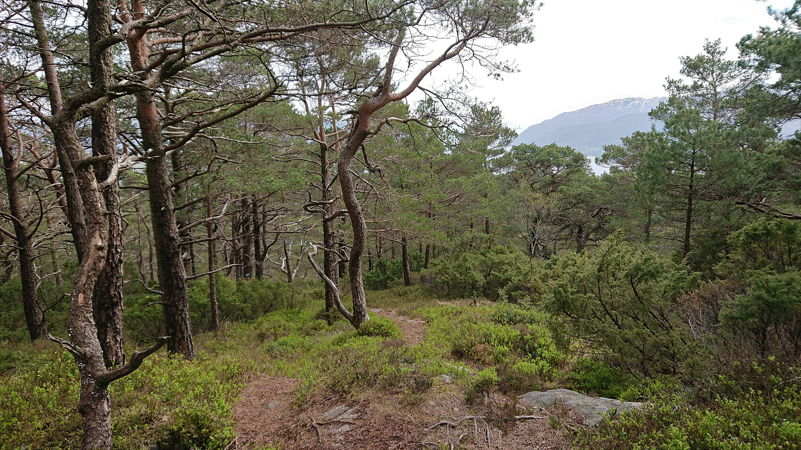
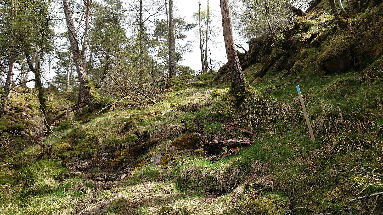
After finally arriving at the marked trailhead next to Kongsviktjørna, I left my bike behind (see separate report for the cycling here: Cycling: Neshamn) and continued on foot along a very nice marked trail. It therefore did not take long before I arrived at Nesevarden, which provided very nice views, especially towards the south. The marked trail continued north/northwest to Kleppavarden, but the trail markers were here further apart and the trail quality also dropped a bit, with a several wet areas that had to be crossed. The summit of Kleppavarden was still reached without any issues. Limited views from the large cairn, but if moving just north of the summit pretty good view across Reksteren could be obtained, although today slightly reduced due to a haze left over from the low-hanging clouds earlier in the day.
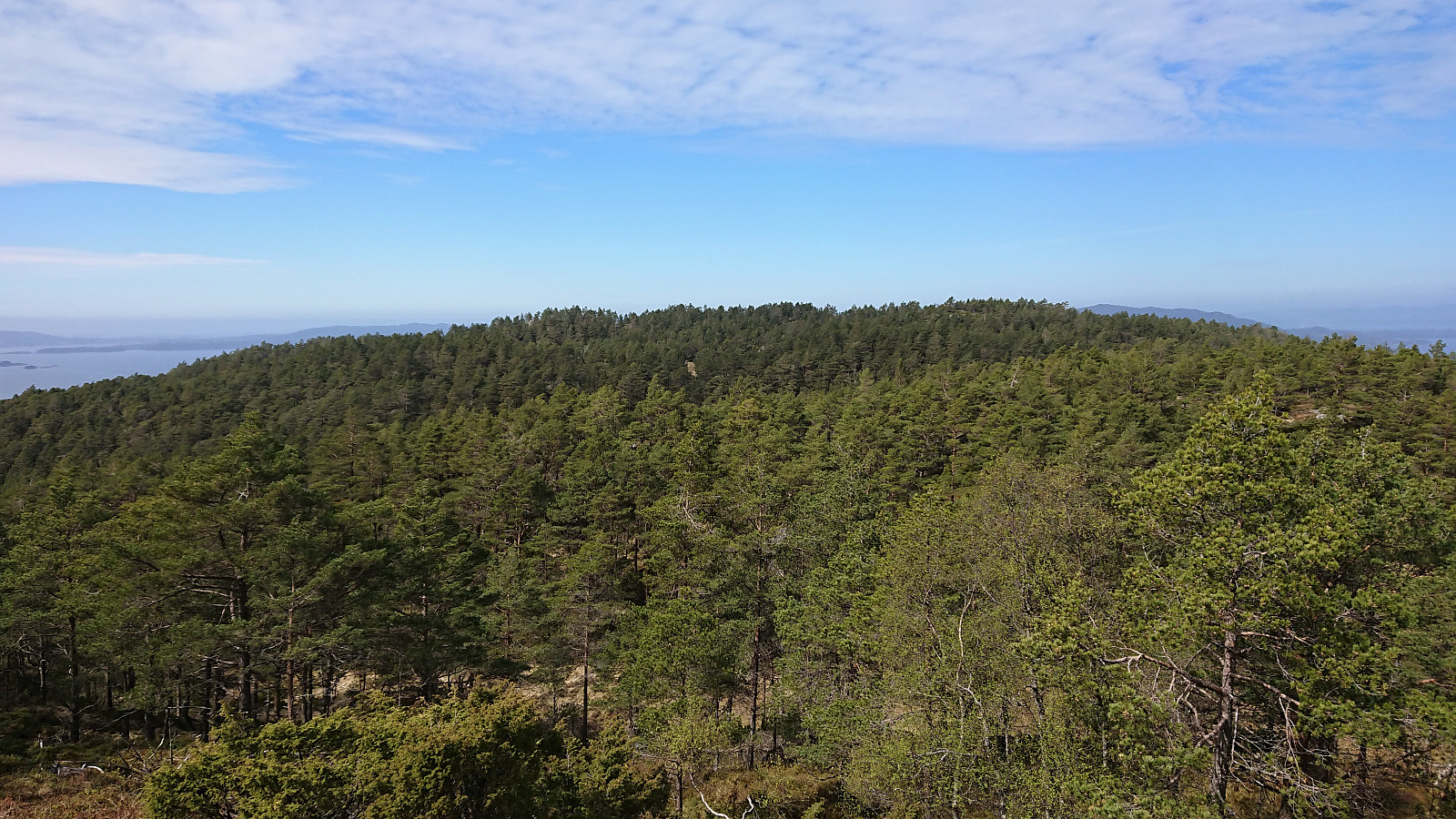
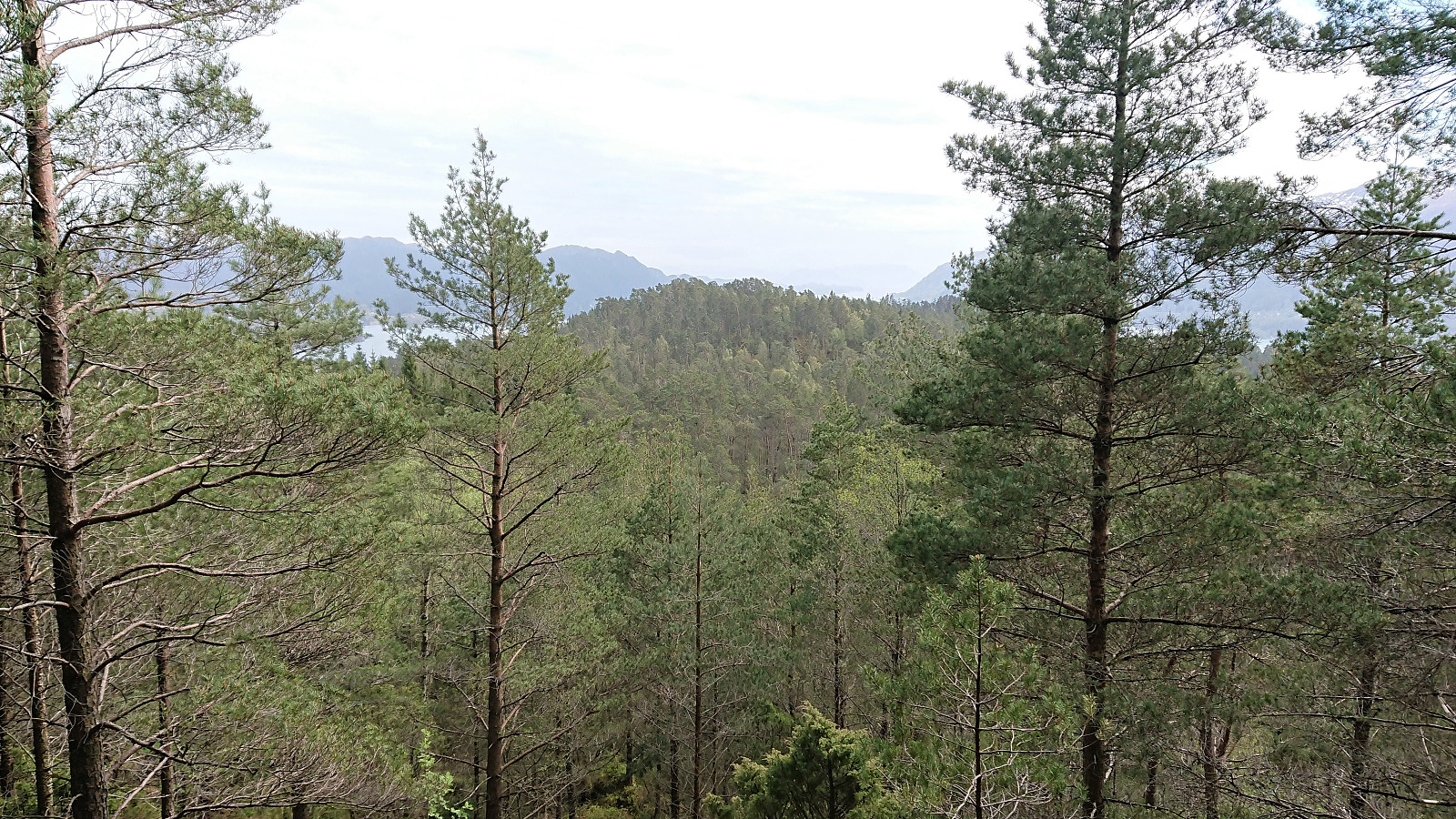
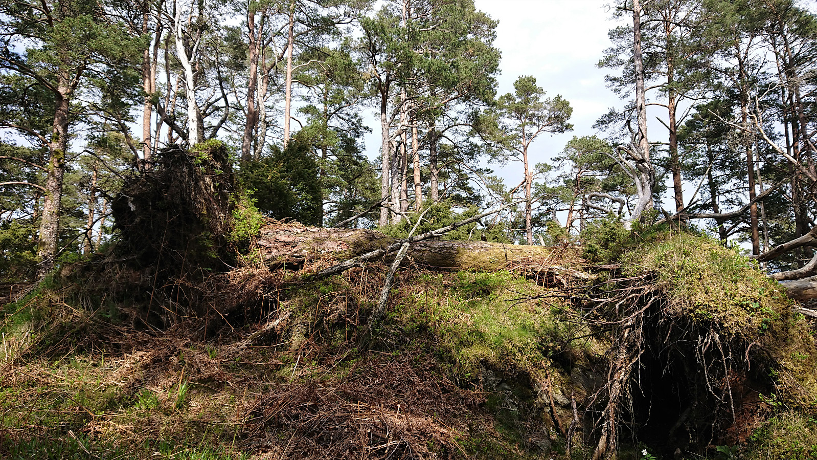
After a quick lunch, I returned along the same route. The only exception being a quick detour to the summit of Hovåsen. This I could just as well have skipped, as even though the marked trail continued south across Hovåsen, the summit itself provided very limited views and mainly consisted of fallen trees. It should however be possible to continue south and arrive at Øvrebø/Neshamn. Maybe something to consider if in the area and wanting to make the relatively short hike into a roundtrip of sorts. I instead returned to my bike at the trailhead and started on the long ride home. In summary, a nice short hike along marked trails that can be highly recommended.
| Start date | 13.05.2021 13:44 (UTC+01:00 DST) |
| End date | 13.05.2021 15:36 (UTC+01:00 DST) |
| Total Time | 1h 51min |
| Moving Time | 1h 40min |
| Stopped Time | 0h 11min |
| Overall Average | 2.8km/h |
| Moving Average | 3.1km/h |
| Distance | 5.1km |
| Vertical meters | 363m |


User comments