
Gravdalsfjellet, Damsgårdsfjellet and Olsokfjellet (18.04.2021)

Written by hbar (Harald Barsnes)

| Start point | Lyngbø (17m) |
|---|---|
| Endpoint | Torget (3m) |
| Characteristic | Hillwalk |
| Duration | 4h 03min |
| Distance | 13.9km |
| Vertical meters | 762m |
| GPS |
|
| Ascents | Damsgårdsfjellet (344m) | 18.04.2021 |
|---|---|---|
| Eikelifjellet i Bergen (258m) | 18.04.2021 | |
| Fyllingsnipa (286m) | 18.04.2021 | |
| Gravdalsfjellet (353m) | 18.04.2021 | |
| Holefjellet Sør (305m) | 18.04.2021 | |
| Olsokfjellet (353m) | 18.04.2021 | |
| Visits of other PBEs | Eikelisteinen (250m) | 18.04.2021 |
| Puddefjordsbroen (28m) | 18.04.2021 | |
| Tennebekktjernet (95m) | 18.04.2021 | |
| Tennebekktjørna p-plass (100m) | 18.04.2021 |
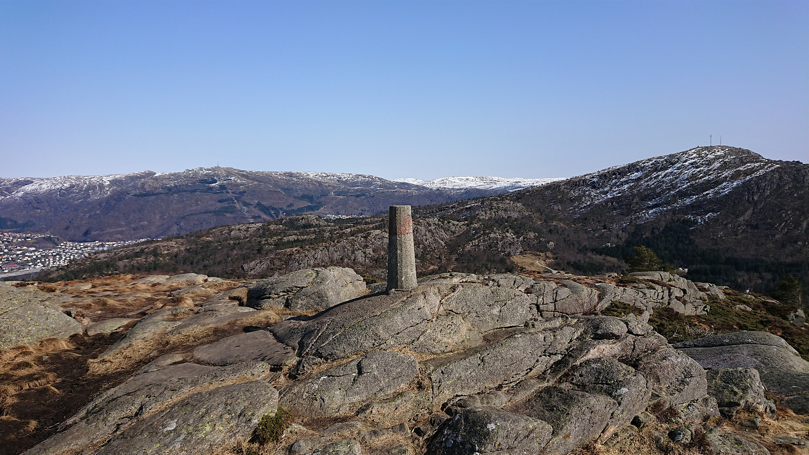
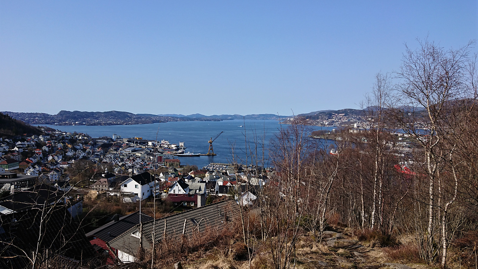
Gravdalsfjellet, Damsgårdsfjellet and Olsokfjellet
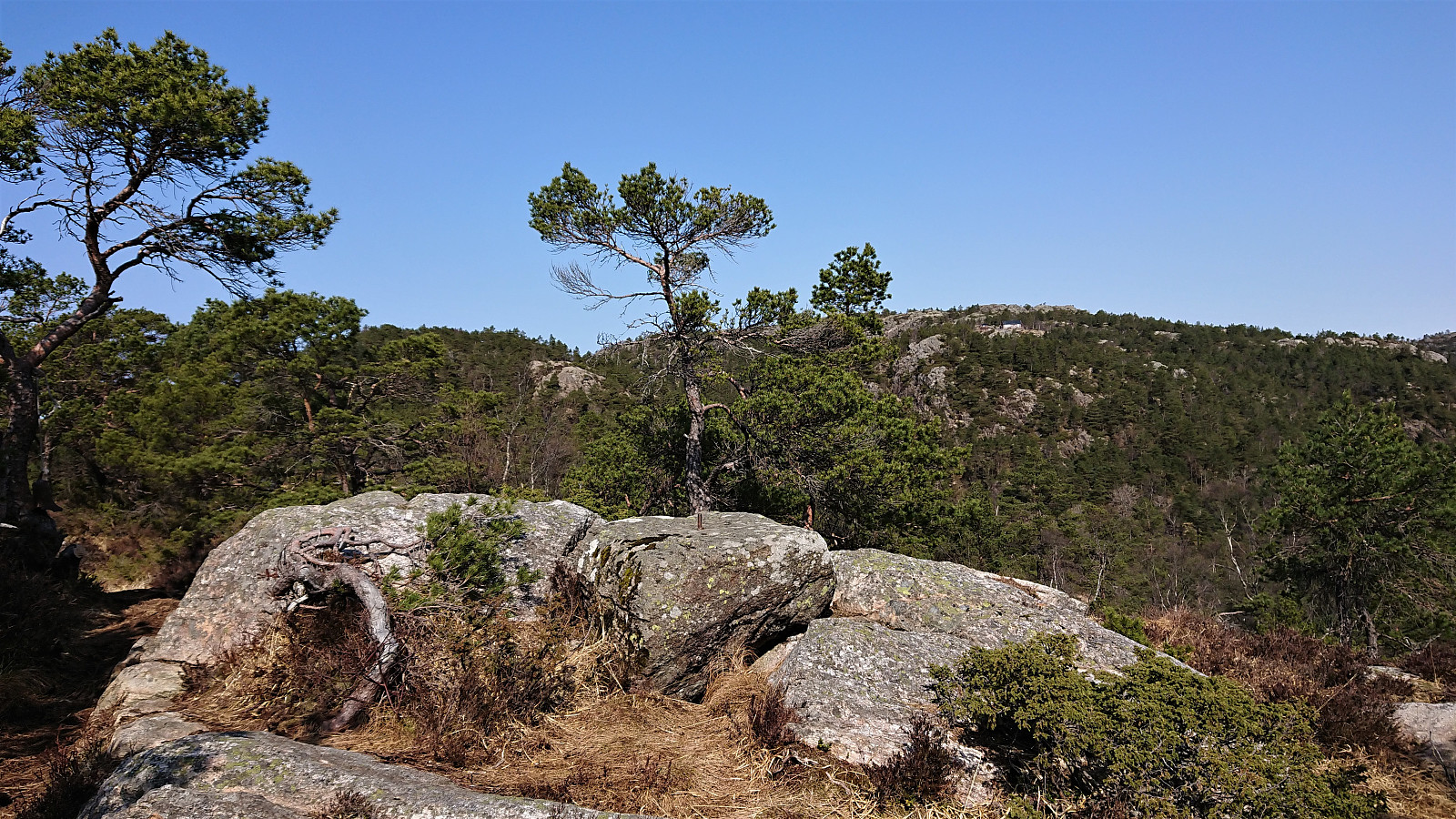
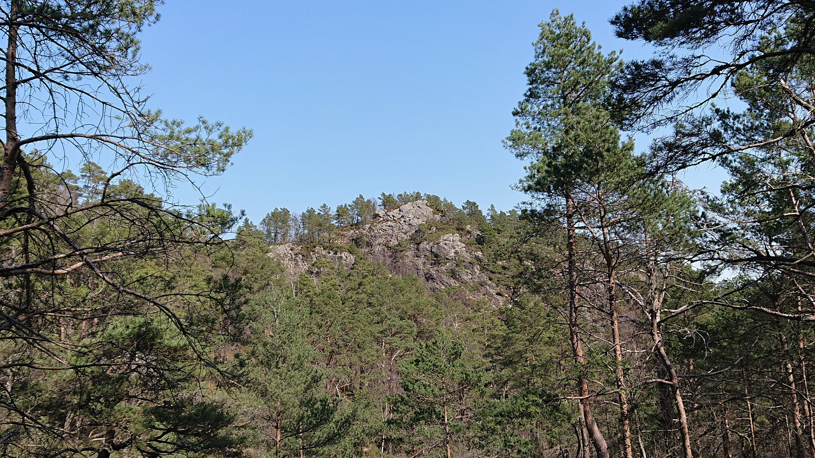
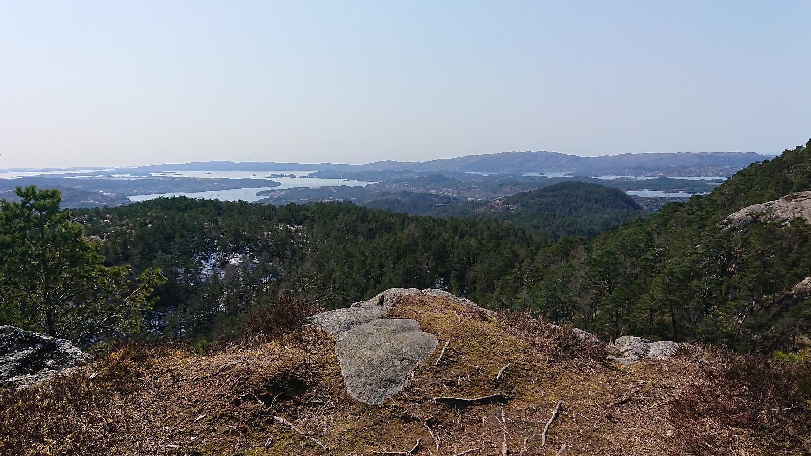
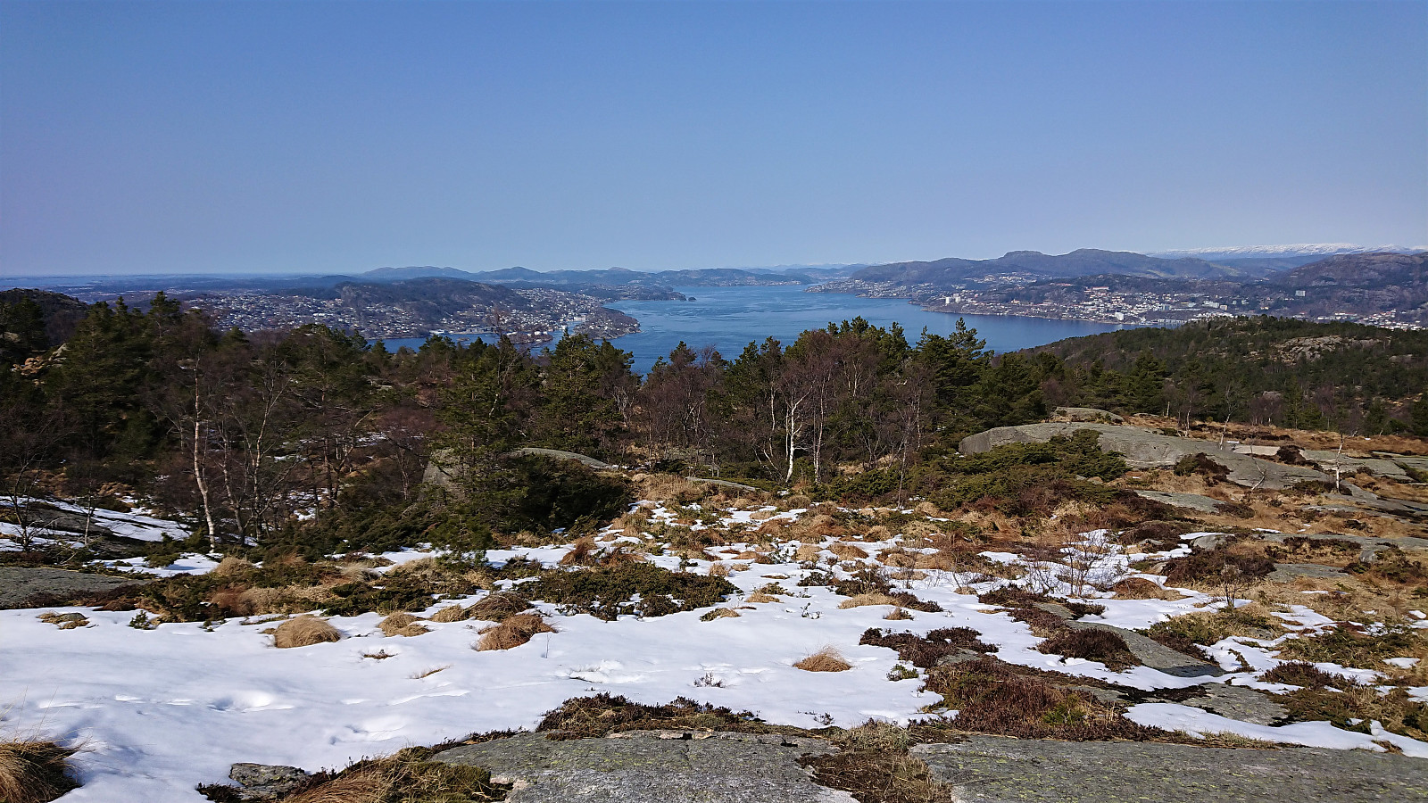
Sunday hike in familiar terrain that included a first visit of Fyllingsnipa. There was a trail all the way to the summit which itself provided excellent views and a great location for my lunch break. Note that I had Fyllingsnipa all to myself, while Viggohytten seemed to be the goal for most other hikers and thus looked pretty busy. Just shows that one does not have to stray very far from the main trails in order to not have to compete for the best views.
| Start date | 18.04.2021 12:48 (UTC+01:00 DST) |
| End date | 18.04.2021 16:52 (UTC+01:00 DST) |
| Total Time | 4h 03min |
| Moving Time | 3h 41min |
| Stopped Time | 0h 22min |
| Overall Average | 3.4km/h |
| Moving Average | 3.8km/h |
| Distance | 13.9km |
| Vertical meters | 762m |


User comments