
Skiing across Vidden (06.02.2021)

Written by hbar (Harald Barsnes)

| Start point | Montana (163m) |
|---|---|
| Endpoint | Lønborg (57m) |
| Characteristic | Backcountry skiing |
| Duration | 4h 32min |
| Distance | 23.8km |
| Vertical meters | 964m |
| GPS |
|
| Ascents | Byfjellenes høyeste punkt (674m) | 06.02.2021 |
|---|---|---|
| Hauggjelsvarden (673m) | 06.02.2021 | |
| Rundemanen (568m) | 06.02.2021 | |
| Vardegga (637m) | 06.02.2021 | |
| Visits of other PBEs | Alfjellet (630m) | 06.02.2021 |
| Brushytten (412m) | 06.02.2021 | |
| Grindarasten (375m) | 06.02.2021 | |
| Hellegrind (199m) | 06.02.2021 | |
| Ishuset ved Langevatnet (127m) | 06.02.2021 | |
| Nødkjelke ved Arken (605m) | 06.02.2021 | |
| Nødkjelke, Borgaskaret (604m) | 06.02.2021 | |
| Nødkjelke, Hyttelien (446m) | 06.02.2021 | |
| Ravnegrind (228m) | 06.02.2021 | |
| Skjulet (653m) | 06.02.2021 | |
| Vannverkshus i Skiveien (244m) | 06.02.2021 |
Skiing across Vidden
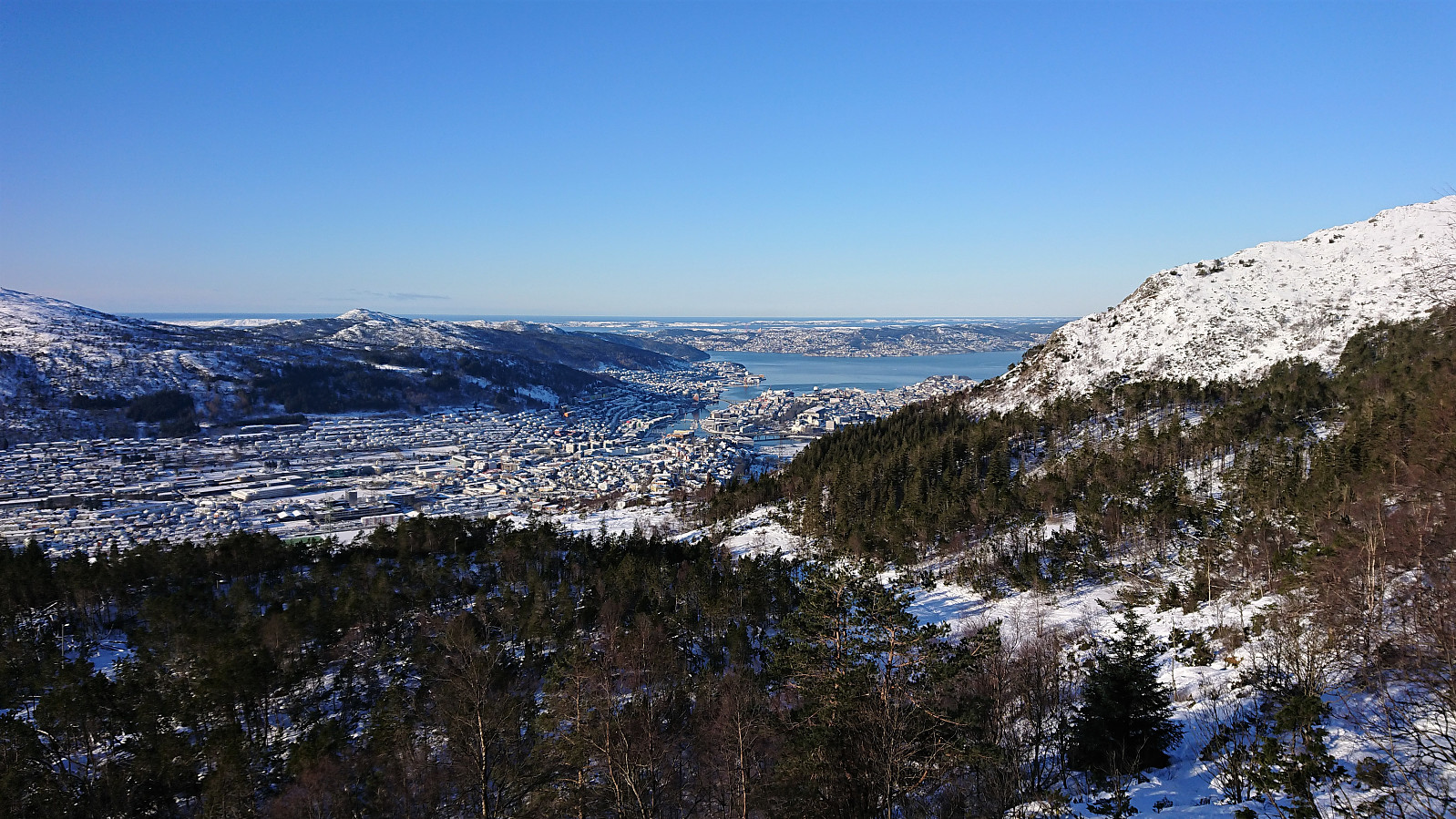
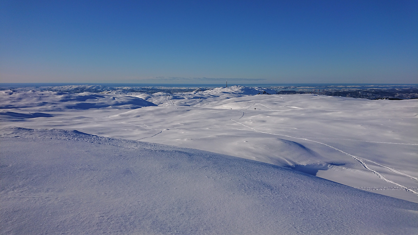
A repeat of my earlier skiing trip across Vidden from Montana, but this time with a (for me) new winter ascent route which basically consisted of carrying the skis along the hiking trail until almost reaching Vassdalsvatnet. From there I connected with the normal route across Vidden before taking a quick detour to the highest point at Byfjellene. Generally there were almost as many hikers as skiers. I therefore tried to stay away from the main trail as much as possible in order to achieve the best skiing conditions. The skis stayed on all the way until getting to the start of Hellemyrstien, where I figured it was as quick to carry the skis the rest of the way.
| Start date | 06.02.2021 11:41 (UTC+01:00) |
| End date | 06.02.2021 16:14 (UTC+01:00) |
| Total Time | 4h 32min |
| Moving Time | 4h 11min |
| Stopped Time | 0h 21min |
| Overall Average | 5.2km/h |
| Moving Average | 5.7km/h |
| Distance | 23.8km |
| Vertical meters | 963m |


User comments