
Snow Shoe Hike to Mount Myklebusthornet (30.01.2021)

Skrevet av Solan (Atle Solholm)

| Startsted | Vik (107moh) |
|---|---|
| Sluttsted | Vik (166moh) |
| Turtype | Trugetur |
| Turlengde | 1t 11min |
| Distanse | 4,4km |
| Høydemeter | 504m |
| GPS |
|
| Bestigninger | Myklebosthornet (329moh) | 30.01.2021 |
|---|---|---|
| Myklebosthornet Østre (320moh) | 30.01.2021 14:50 |
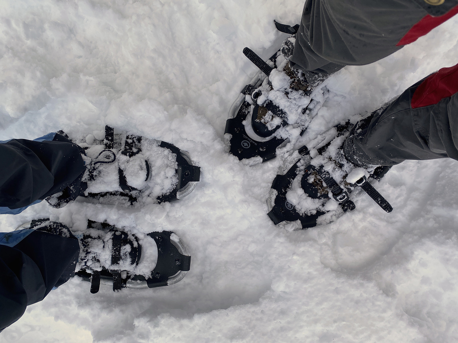
Mount Myklebusthornet is a little mountain [329 m.a.m.s.l.] on an island called Ellingsøya in the municipality of Ålesund in the County of Møre & Romsdal on the west coast of Norway. The name Myklebusthornet is composed of the Norse word mykill bústaðr, which means large farm or large habitation; and the modern Norwegian horn, which simply means horn. The mountain is actually part of a mountain range that extends along the entire length of the island; with a number of peaks, among which Myklebusthornet is the highest. This mountain range is usually very well suited for jogging, as well as for short mountain treks, as the climb towards most of the peaks aren't that steep, though it depends of course a little on which route you choose for your climb. Moreover, due to its costal location, the island generally tends to have little snow during winter, and so we tend to go trek or jog it every now and then throughout the year. My son Dag actually once summited the mountain more than 250 times within the time frame of a year. On this day, however, there was more than 50 cm of snow covering most of the island. An alternative would of course have been to summit the mountain on skis, but my son had just purchased two pairs of snow shoes and so we decided we wanted to try them out, mainly that we could ourselves get some experience with snow shoeing.
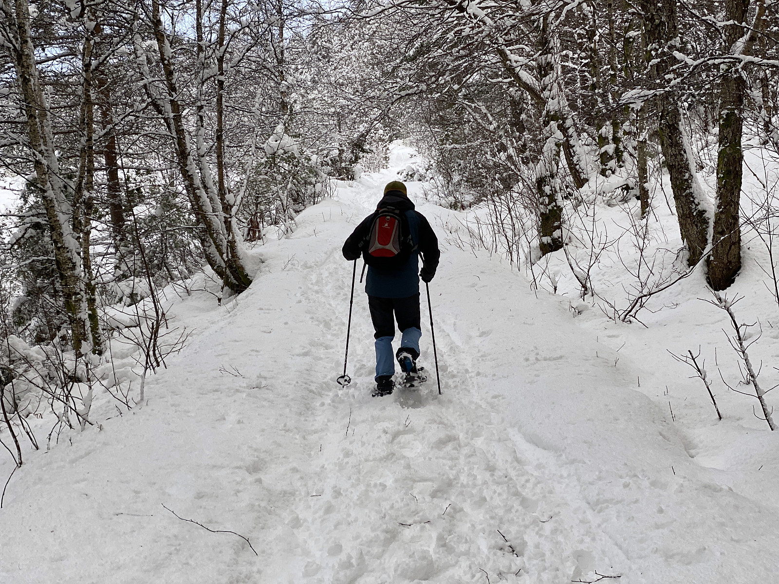
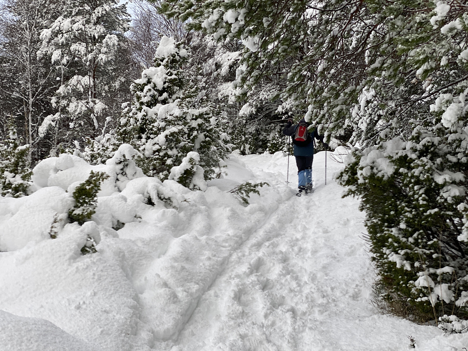
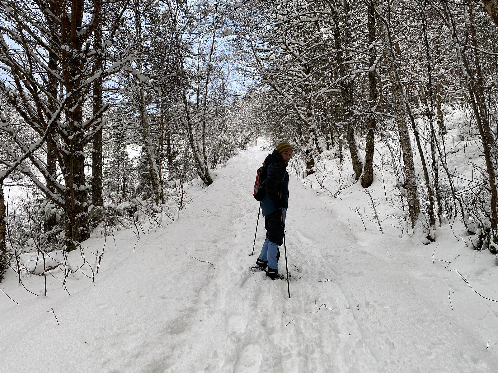
We parked our car at the primary school at a location called Vik, put our snow shoes on, and started walking up an old forest road towards the edge/ridge of the mountain range. When you follow this road, you reach top edge of the ridge a bit east of a peak called Sperrenakken (but here on Peakbook it's called Myklebusthornet Østre, i.e. "eastern Myklebusthornet", for some reason). We followed the ridge towards the summit of Sperrenakken [320 m.a.m.s.l.]. The snow made it impossible to see the trail towards the summit, but my son and I have trekked this mountain so many times, that we new the route by heart. From Sperrenakken we continued up to the summit of Myklebusthornet, and but then for our descent we actually chose a different route. After visiting the summit, we took a trail southwards through the forrest, down to a little lake or dam, from where we followed another old forrest road down to the old main road along the course of the island; where we pulled off our snow shoes, and just walked along the paved road back to the parking lot with our car.
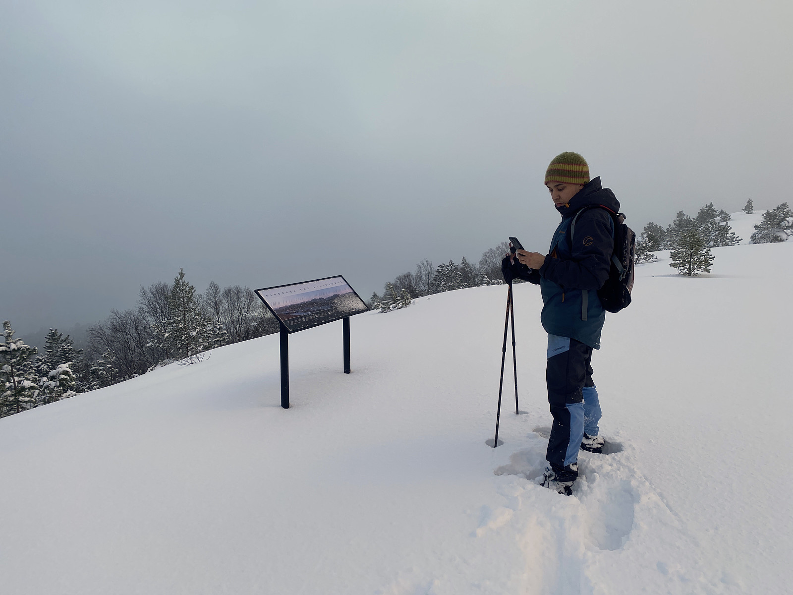
![Image #5: Trekking with snow shoes towards the peak called Sperrenakken [but here on Peakbook it's for some reason called Østre Myklebusthornet].](https://images1.peakbook.org/images/14939/Solan_20210131_6016a1df3c45f.jpg?p=xtralarge)


Kommentarer