
To Mount Saudehornet in Ørsta Municipality (14.11.2020)


Skrevet av Solan (Atle Solholm)

| Startsted | Fonnavegen road, Ørsta (71moh) |
|---|---|
| Sluttsted | Fonnavegen road, Ørsta (64moh) |
| Turtype | Alpintur |
| Turlengde | 4t 20min |
| Distanse | 10,4km |
| Høydemeter | 1290m |
| GPS |
|
| Bestigninger | Saudehornet (1303moh) | 14.11.2020 |
|---|---|---|
| Vallahornet (834moh) | 14.11.2020 12:03 |
![Image #1: Mount Vallahornet[834 m.a.m.s.l.] to the left and Mount Saudehornet [1303 m.a.m.s.l.] to the right. The trail up to the summits of these peaks is visible in front.](https://images1.peakbook.org/images/14939/Solan_20210215_602adee3ba176.jpg?p=xtralarge)
It had been snowing in the mountains lately, and so for this days mountain trek, we had been trying to pick a mountain not too high; in order to stay below the snow. And, as my son Dag had lately read a tour description about a mountain called Kyrkjetinden [i.e. "The Church Peak"] in Ørsta municipality in the County of Møre & Romsdal, we decided to go there. Kyrkjetinden is a peak located just about 6 kilometers or so from the town center of Ørsta, and it has an elevation of 1069 m.a.m.s.l.; and was thus located well beneath the altitude down to which the snow reached at this time.
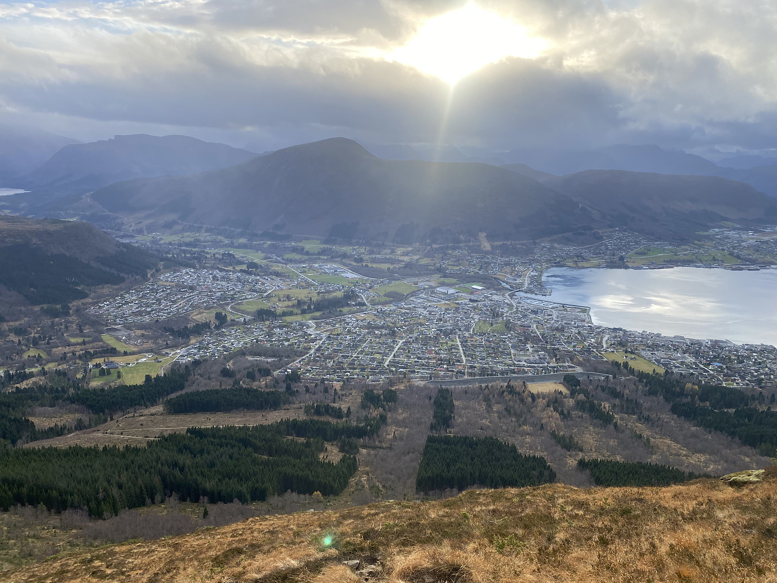
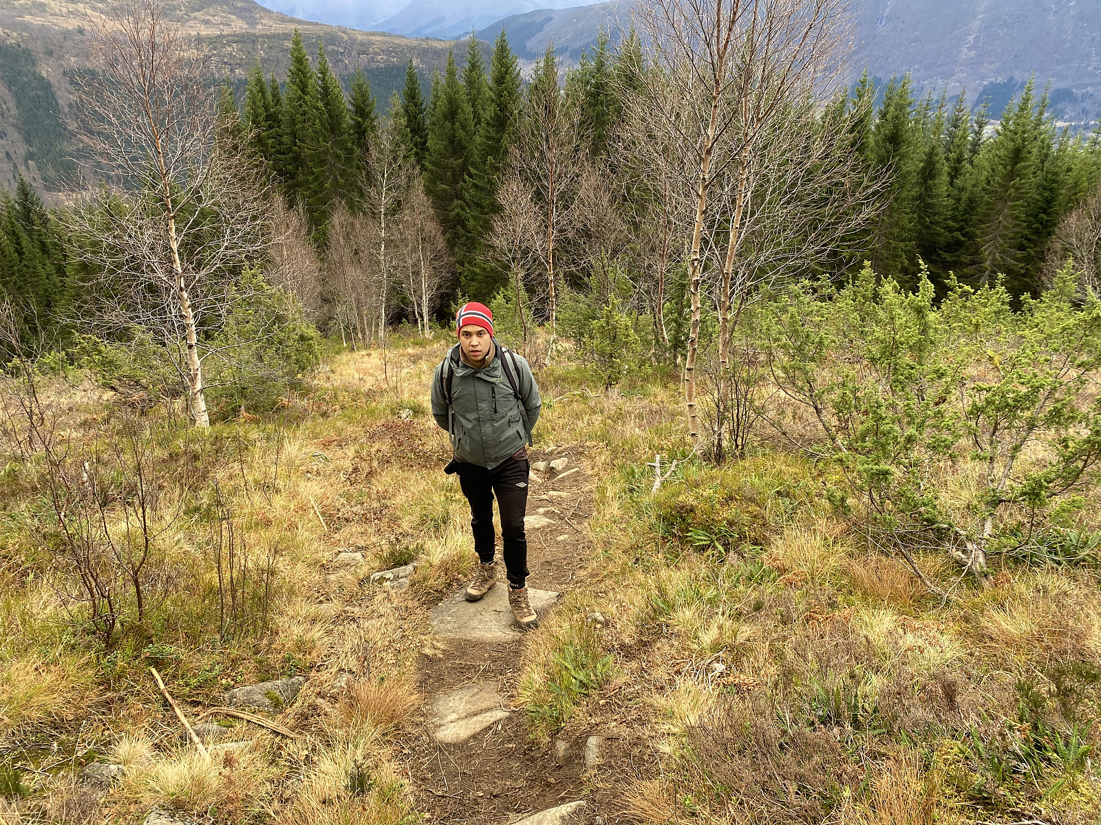
We drove to Ørsta, and parked at a little parking lot by a road called Fonnavegen, just by a training ground for dogs, which is located between this road and a little river located just there. There was a nice trail leading from the parking lot, through a forest, and then into the mountains. The trail splits in two right after the forest, however, and I have to admit my son and I were both unaware of this. At this crossroads, it is the right trail that will take you to the summit of Mount Kyrkjetinden; whereas the left trail takes you up to a knoll called Vallahornet [834 m.a.m.s.l.], and from there eventually up to the summit of Mount Saudehornet [1303 m.a.m.s.l.]. Now, there's usually a lot more people visiting Mount Saudehornet than Mount Kyrkjetinden, and so the left trail has becomes much more eye-catching than the right one; and this, in turn, caused me and my son to take the left trail without even noticing there was a right one.
![Image #6: My son on top of Mount Vallahornet [834 m.a.m.s.l.]. Behind my son is seen the fjord called Voldafjorden.](https://images1.peakbook.org/images/14939/Solan_20210215_602ae2d19a918.jpg?p=xtralarge)
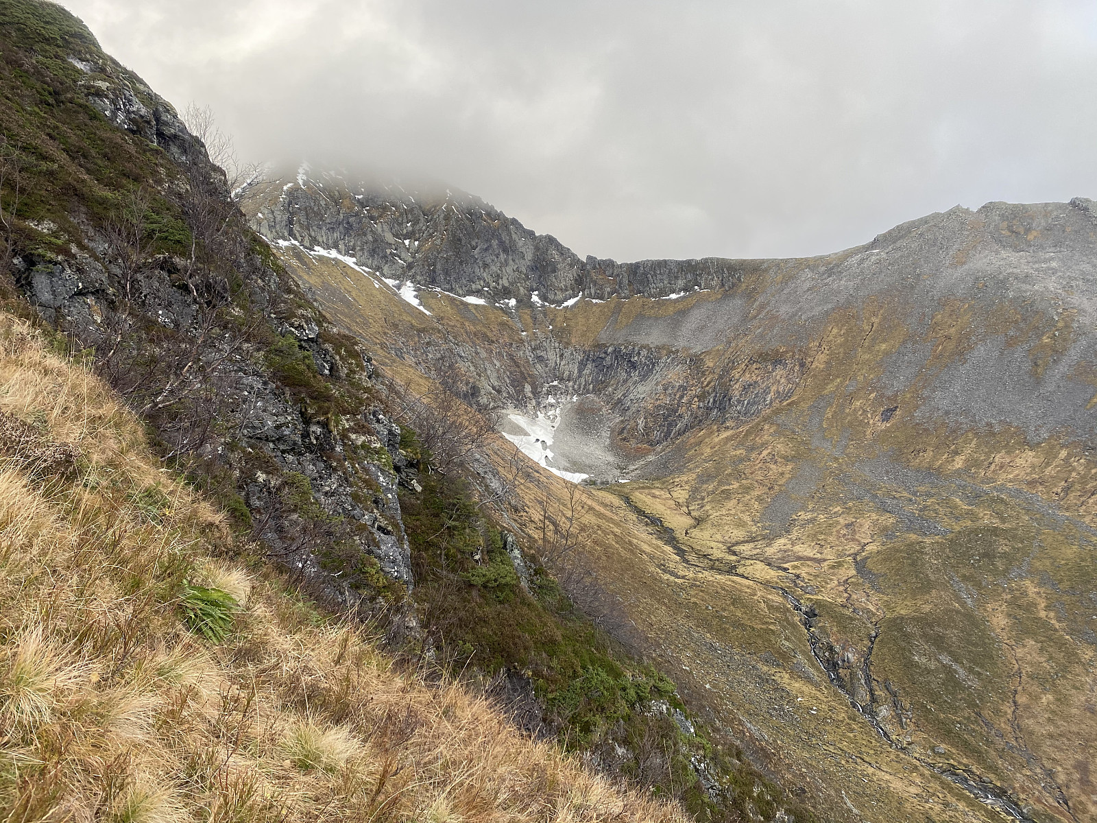
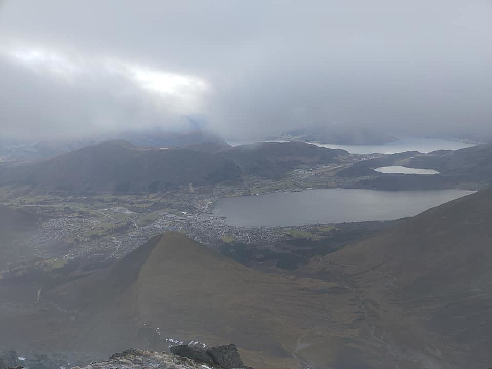
As we were climbing towards the knoll of Vallahornet, it started dawning on us, little by little, however that maybe this wasn't the trail towards Mount Kyrkjetinden after all, as we had been expecting the trail to take us directly up to the summit, and not via a knoll like the one we were climbing right now. The view was nice, however, and the weather fair enough, though the mountain that could be seen behind Mount Vallahornet, was enshrouded in clouds (Image #5).
![Image #7: View from the ridge between Mount Vallahornet and Mount Saudehornet towards the next mountain ridge just to the west of us, with the peaks of Nivane [998 m.a.m.s.l.] and Mount Vardehornet [1010 m.a.m.s.l.].](https://images1.peakbook.org/images/14939/Solan_20210215_602ae3b753cf2.jpg?p=xtralarge)
![Image #8: View from Mount Vallahornet towards the summit of Mount Saudehornet [1303 m.a.m.s.l.]. It was a bit cloudy up there on this day, but not to an extent that made it dangerous to ascend the mountain.](https://images1.peakbook.org/images/14939/Solan_20210215_602ae514ebe46.jpg?p=xtralarge)
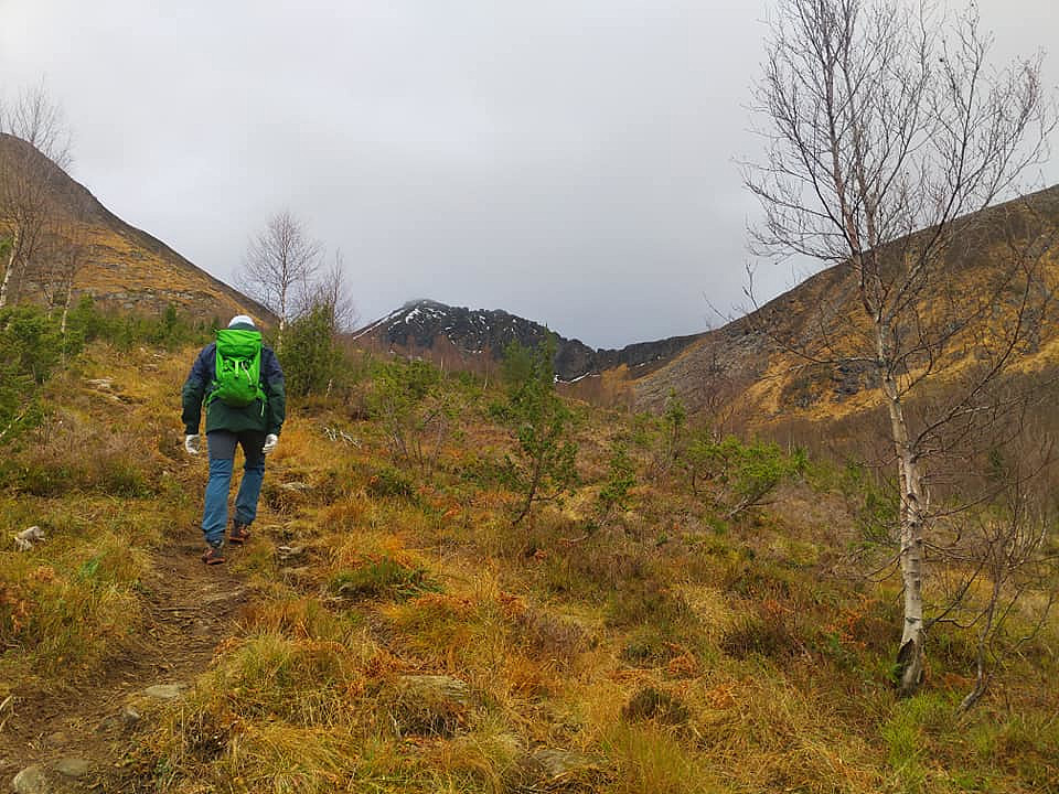
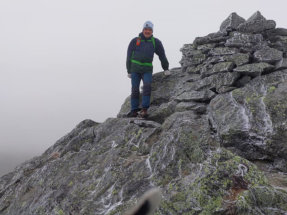
As we reached the top of Mount Vallahornet, we more or less fully realized we were'n on our way up Mount Kyrkjetinden, and that the summit we were heading towards was probably Mount Saudehornet [i.e. "The Sheep Horn"]. We didn't mind, however, as Mount Saudehornet was even a little higher than Mount Kyrkjetinden. After all, we could always visit Mount Kyrkje tinden on another occasion. We continued along the trail from Mount Vallahornet towards the summit of Mount Saudehornet, and as we climbed upwards, the vegetation gradually became scarcer, and more stony. The trail was very well marked, however, and nowhere difficult to follow.
![Image #9: Approaching the summit of Mount Saudehornet [1303 m.a.m.s.l.].](https://images1.peakbook.org/images/14939/Solan_20210215_602ae63cc1c20.jpg?p=xtralarge)
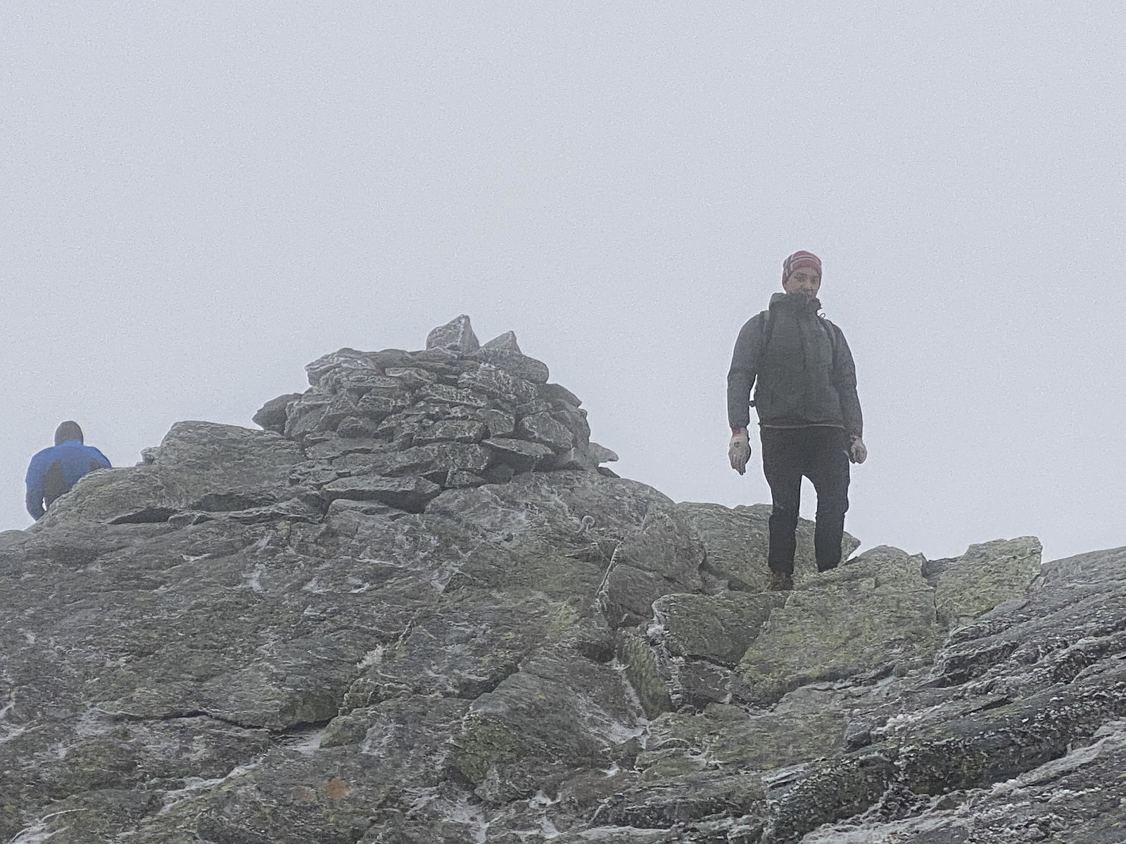
The summit area was cloudy and a bit cold (Image #11), and so we didn't remain long up there, we just shot a few pictures, and then embarked upon our decent. While we were up there, a man that we had seen behind us cached up with us, and he soon passed us while we were on our way back down. And then, as we were about halfway down to Mount Vallahornet, we met a young couple that were on their way up. Apart from these few people, however, we didn't encounter anyone, and so, we felt pretty much like we were having the entire mountain all by our selves.


Kommentarer