
Kikenosi, Raudaberget and Gavlen from Frøland (19.09.2020)

Written by hbar (Harald Barsnes)

| Start point | Frøland (46m) |
|---|---|
| Endpoint | Frøland (46m) |
| Characteristic | Hillwalk |
| Duration | 9h 10min |
| Distance | 26.4km |
| Vertical meters | 1,816m |
| GPS |
|
| Ascents | Bjørnakultane N (1,149m) | 19.09.2020 |
|---|---|---|
| Bjørnakultane V (1,144m) | 19.09.2020 | |
| Bjørnakultane S (1,152m) | 19.09.2020 | |
| Gavlen (1,251m) | 19.09.2020 | |
| Jarlandsfjellet (1,054m) | 19.09.2020 | |
| Kikenosi (974m) | 19.09.2020 | |
| Raudaberget (1,241m) | 19.09.2020 | |
| Visits of other PBEs | Holmane parkering II (269m) | 19.09.2020 |
| Kikenosi utsiktspunkt (952m) | 19.09.2020 |
Kikenosi, Raudaberget and Gavlen from Frøland
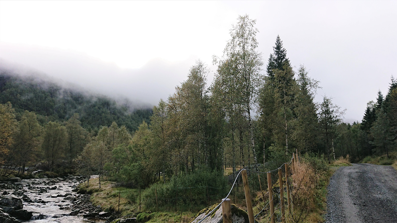
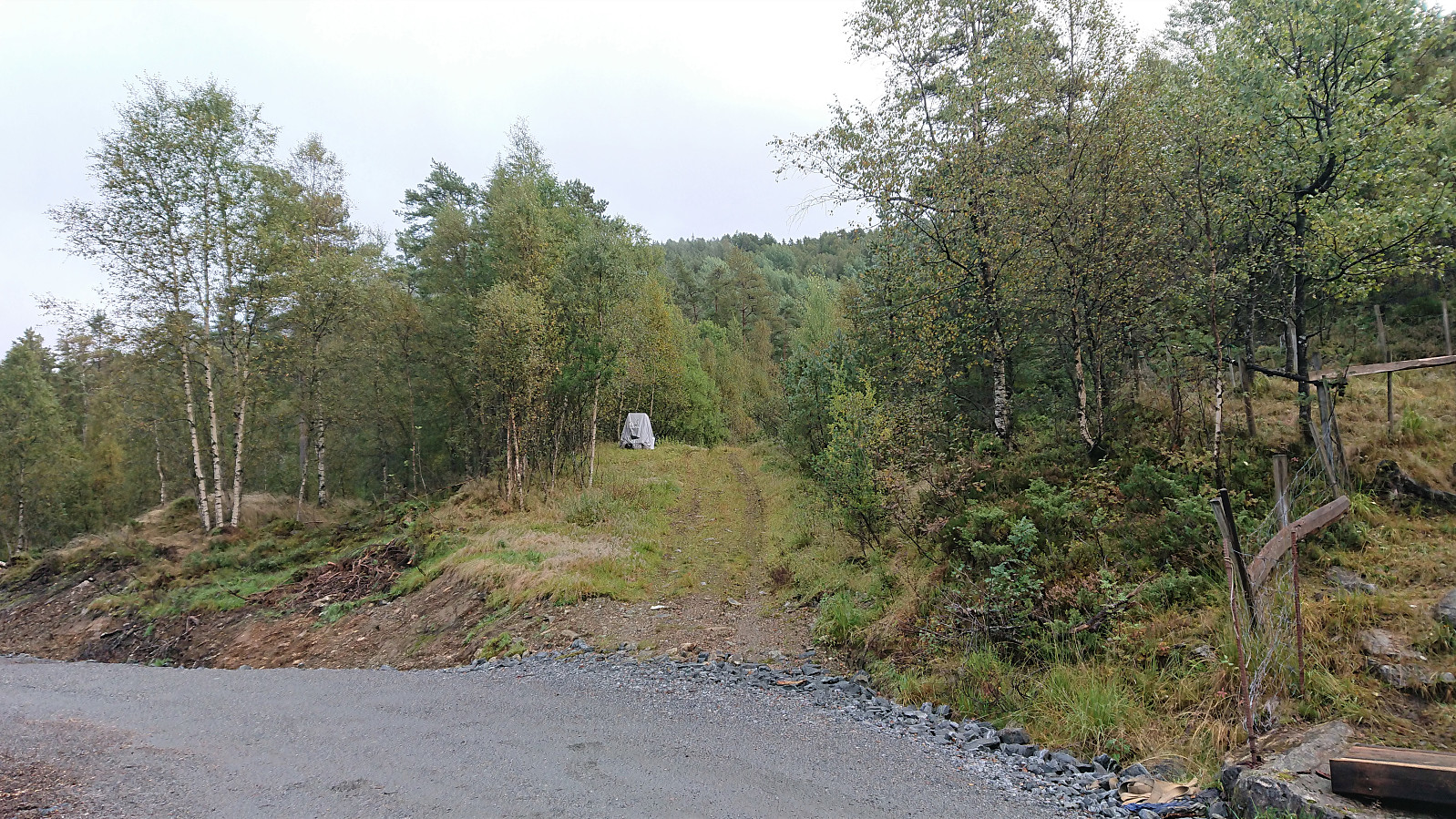

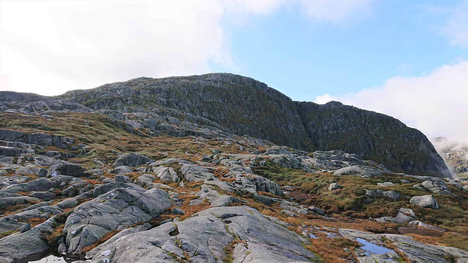
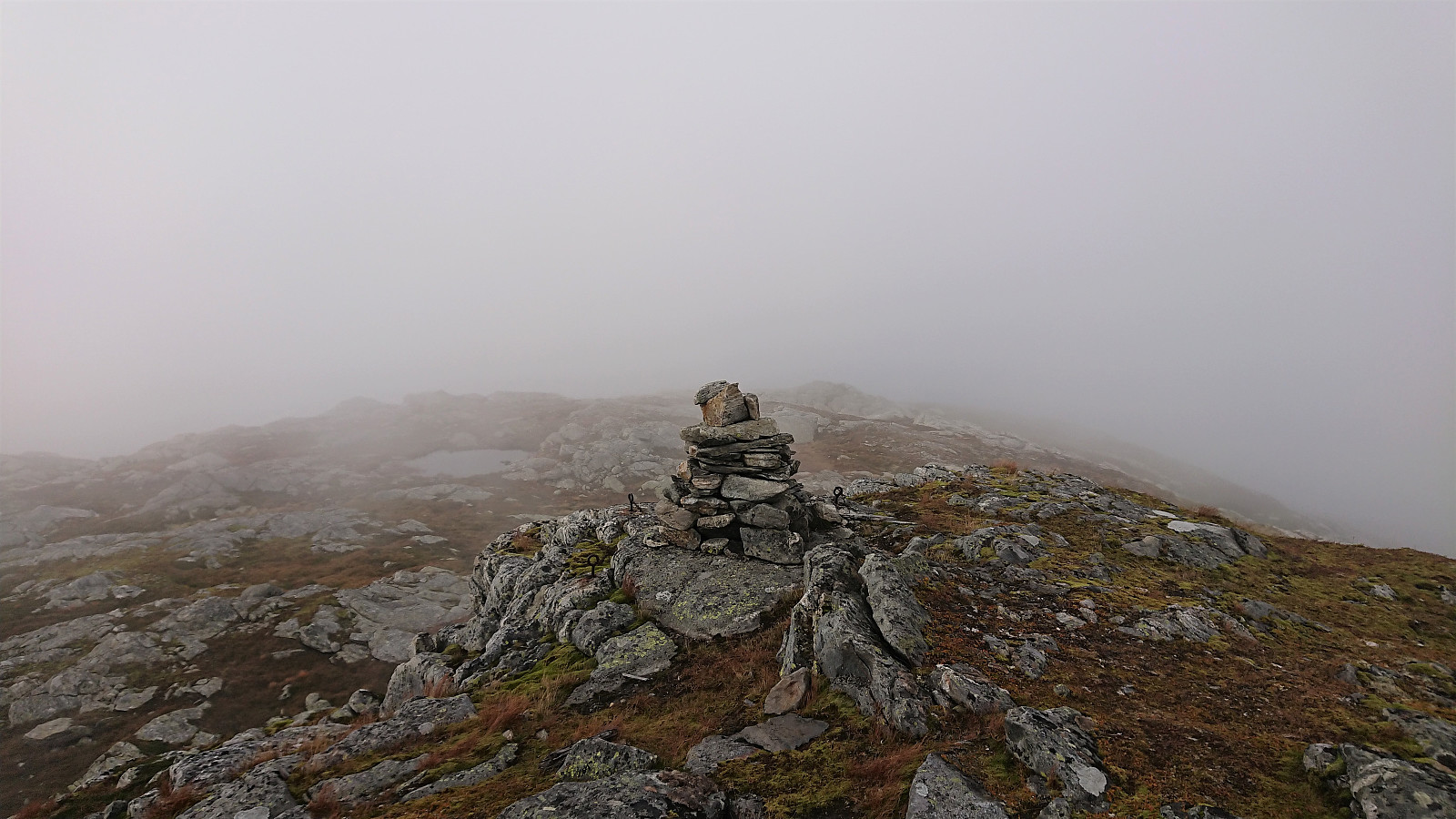
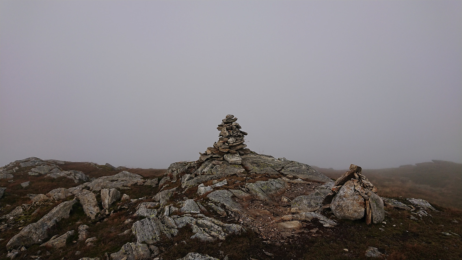
I started by taking the bus to Frøland and from there walking up the gravel road to Holmane parkering II. I then briefly followed a tractor road until locating the unmarked trailhead for Kikenosi. The wet trail was steep but easy to follow and when the trail later got weaker there were small cairns marking the way, which came in very handy in the dense fog.
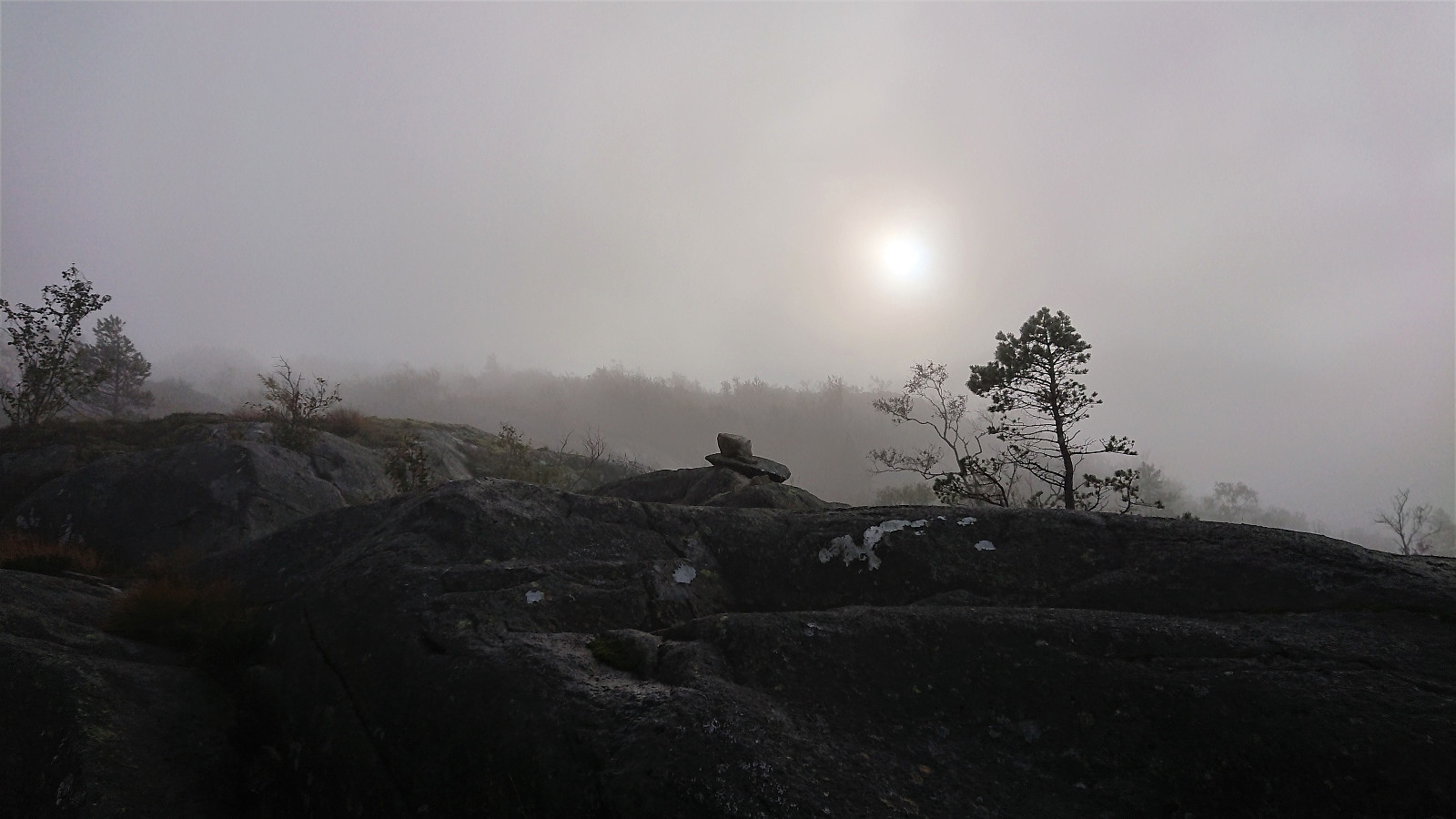
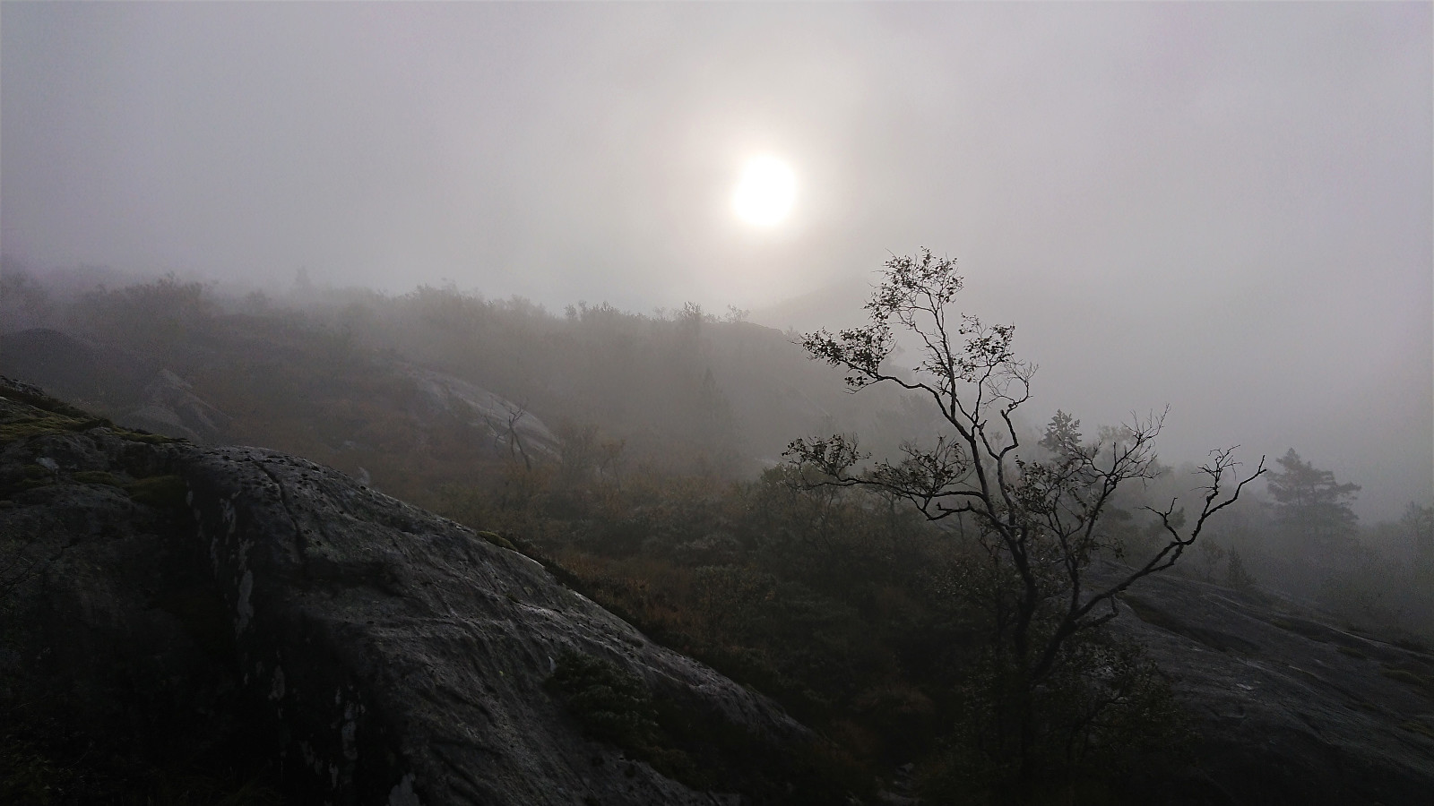
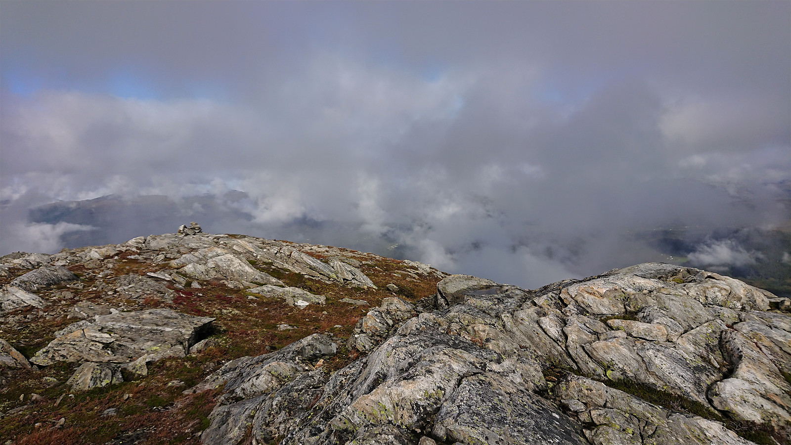
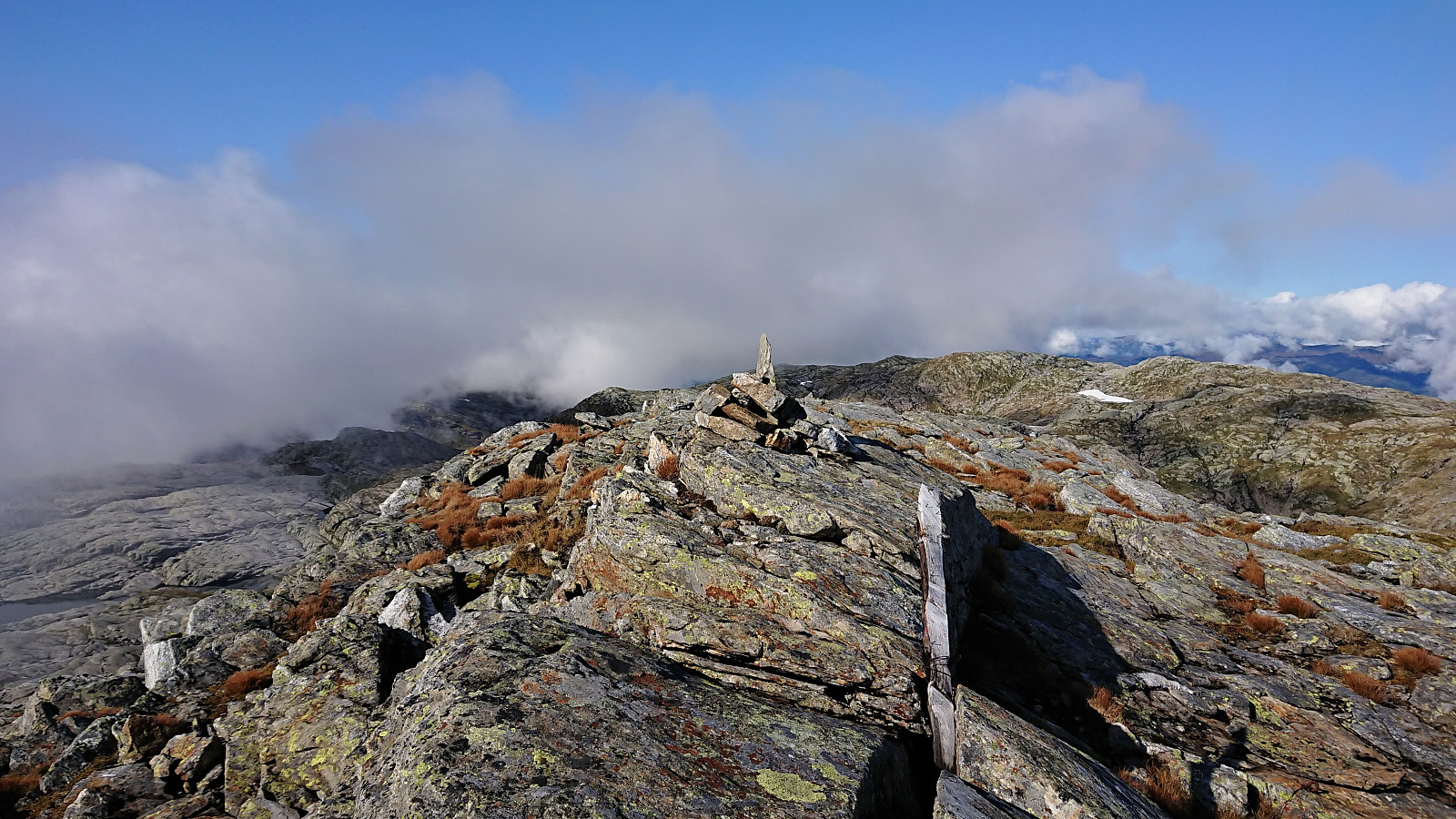
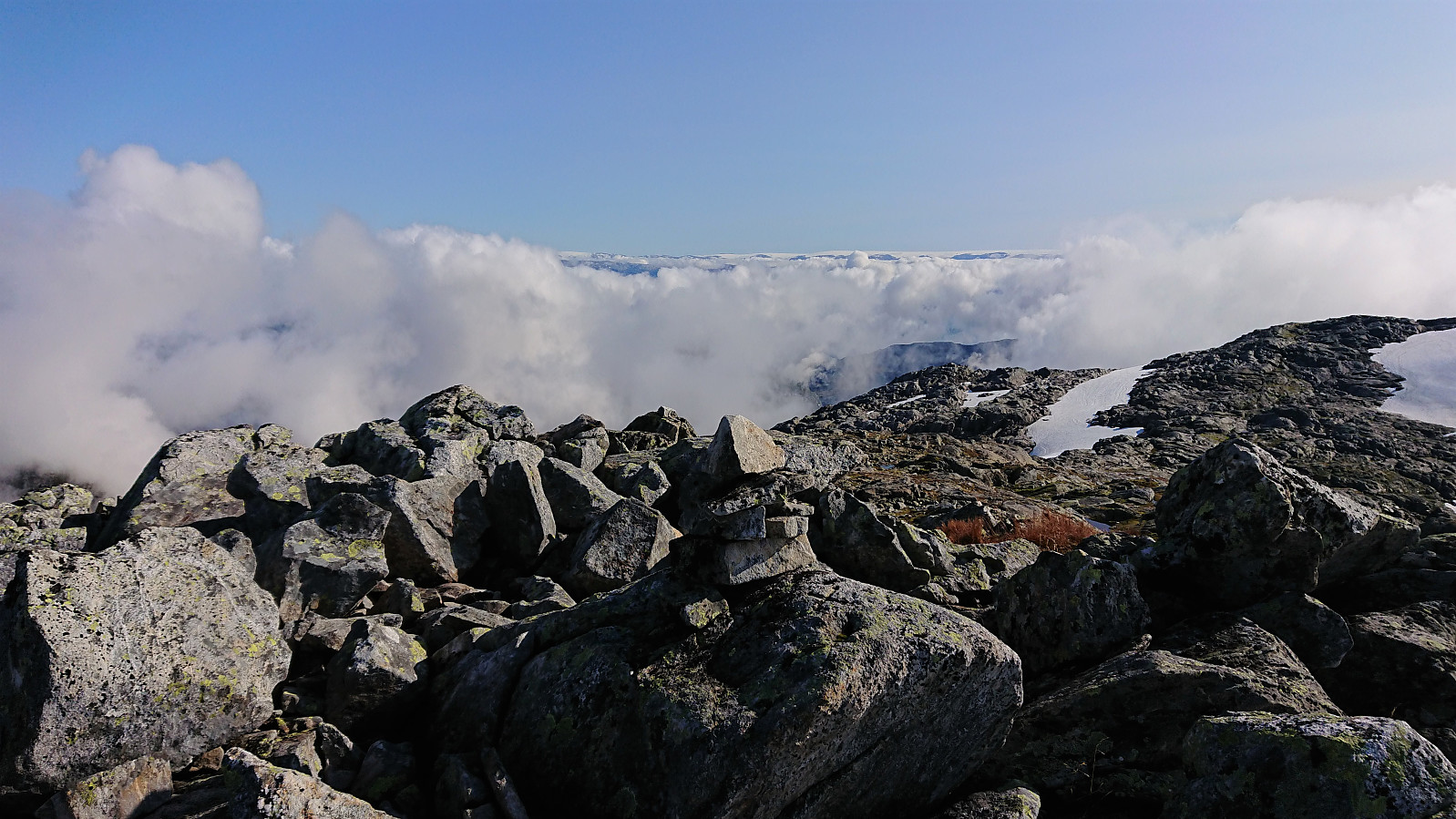
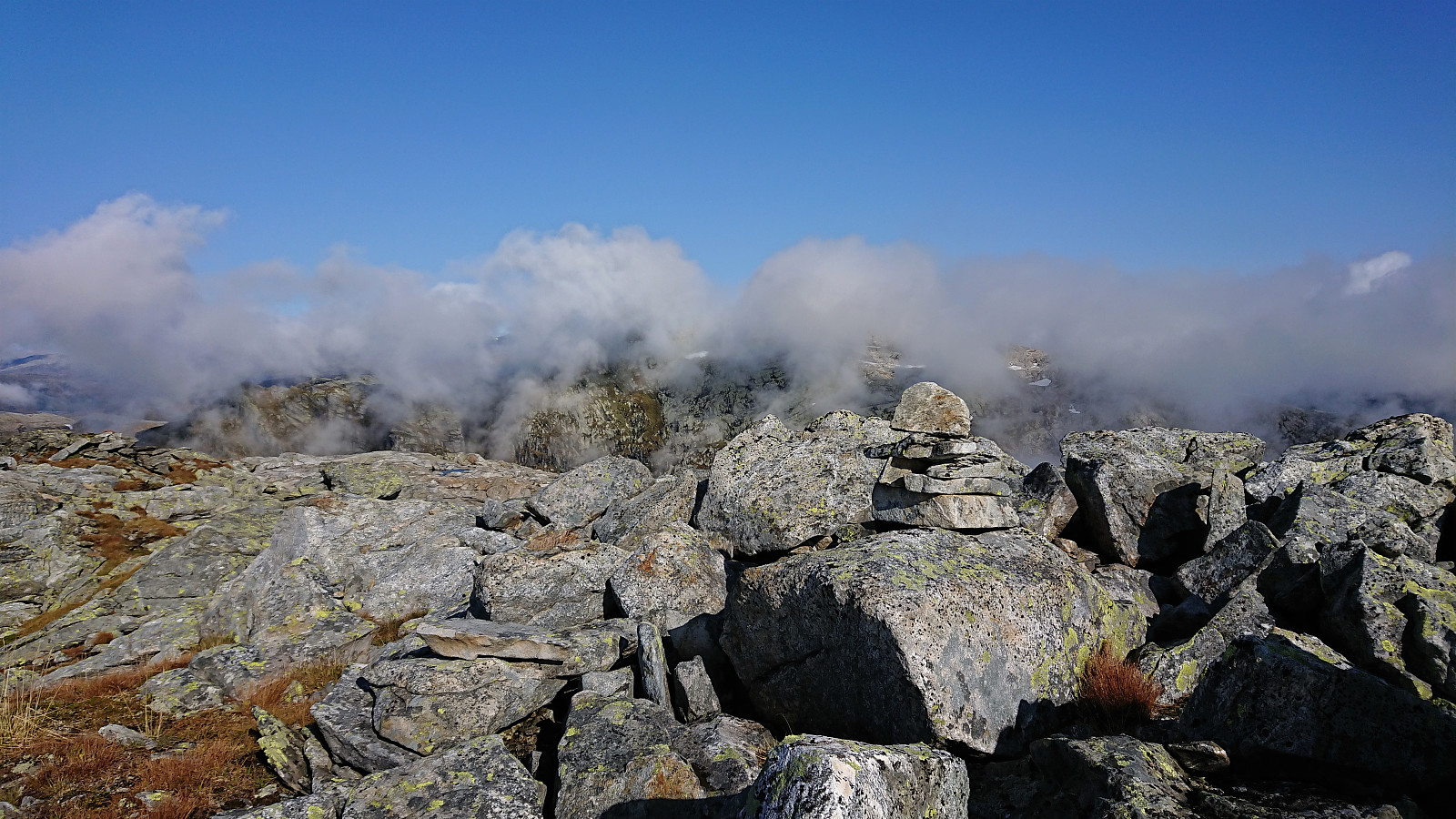
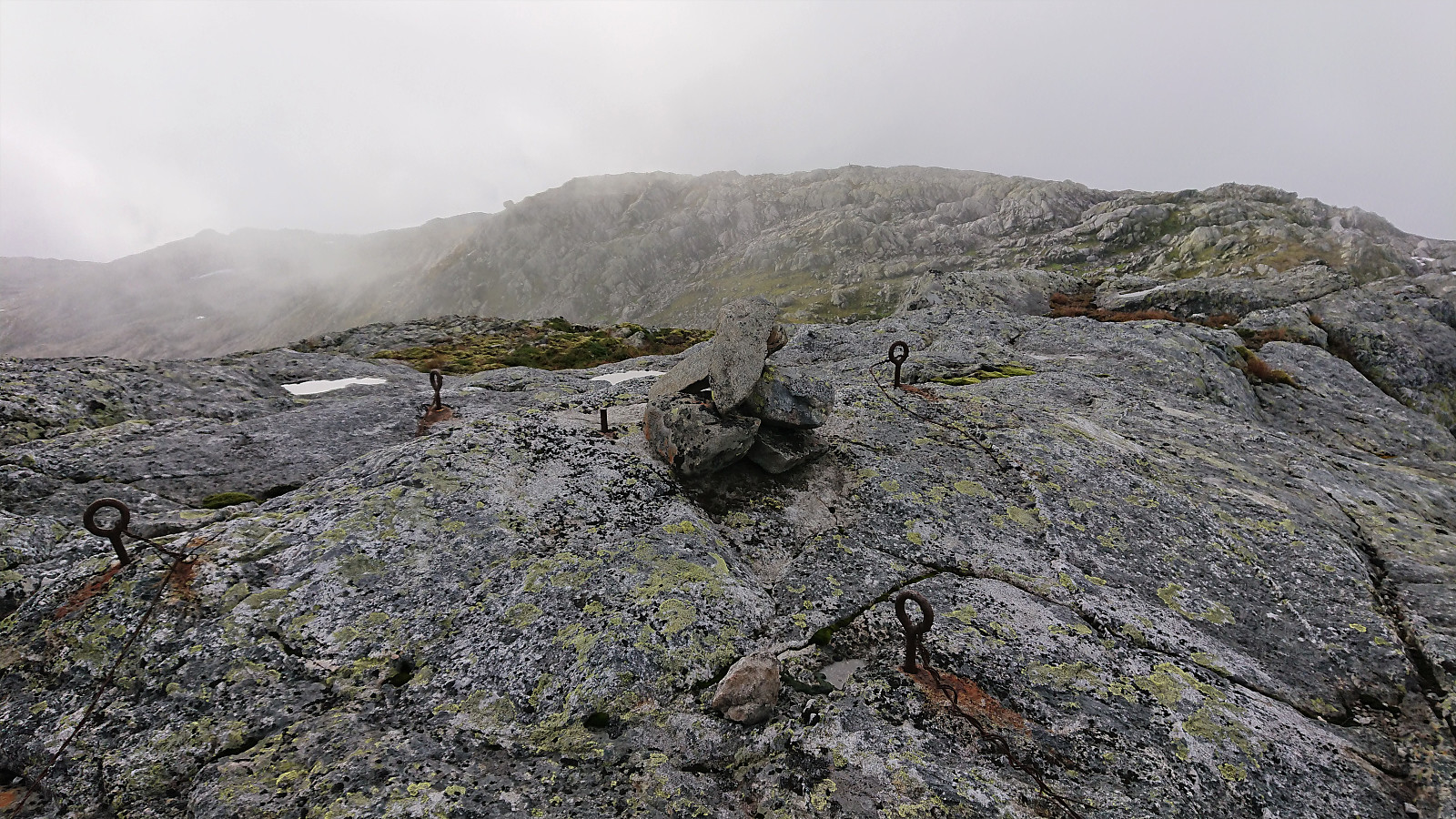
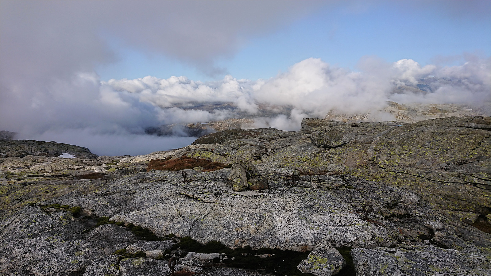
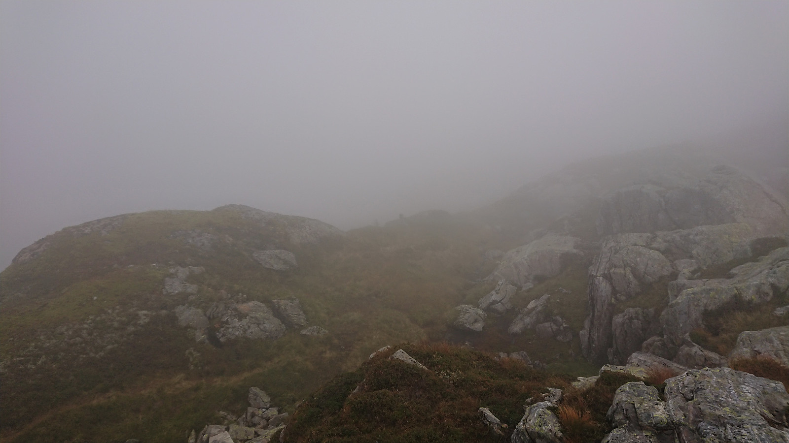
When reaching the valley east of the summit I somehow lost the cairns and ended up having to both backtrack and head off-trail to relocate them. By now the fog had started to clear, so I cannot blame it on low visibility. With a bit of very light climbing the cairns south of the summit of Kikenosi were located, providing excellent views, even if still limited by the fog. The cairn next to the summit and the summit itself had slightly less impressive views (at least under the current conditions).
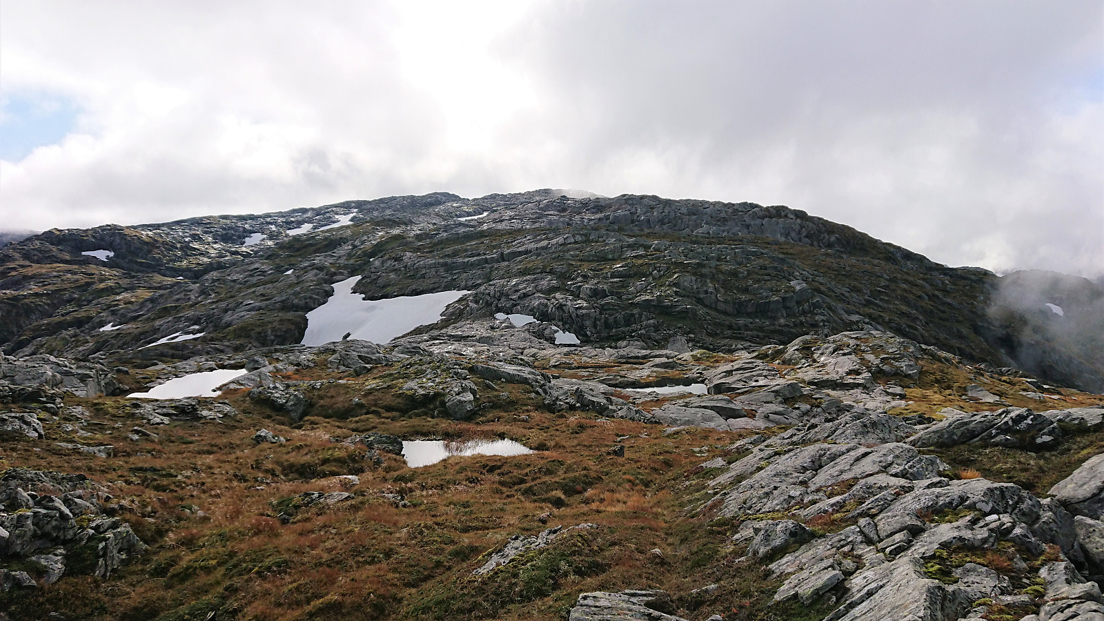
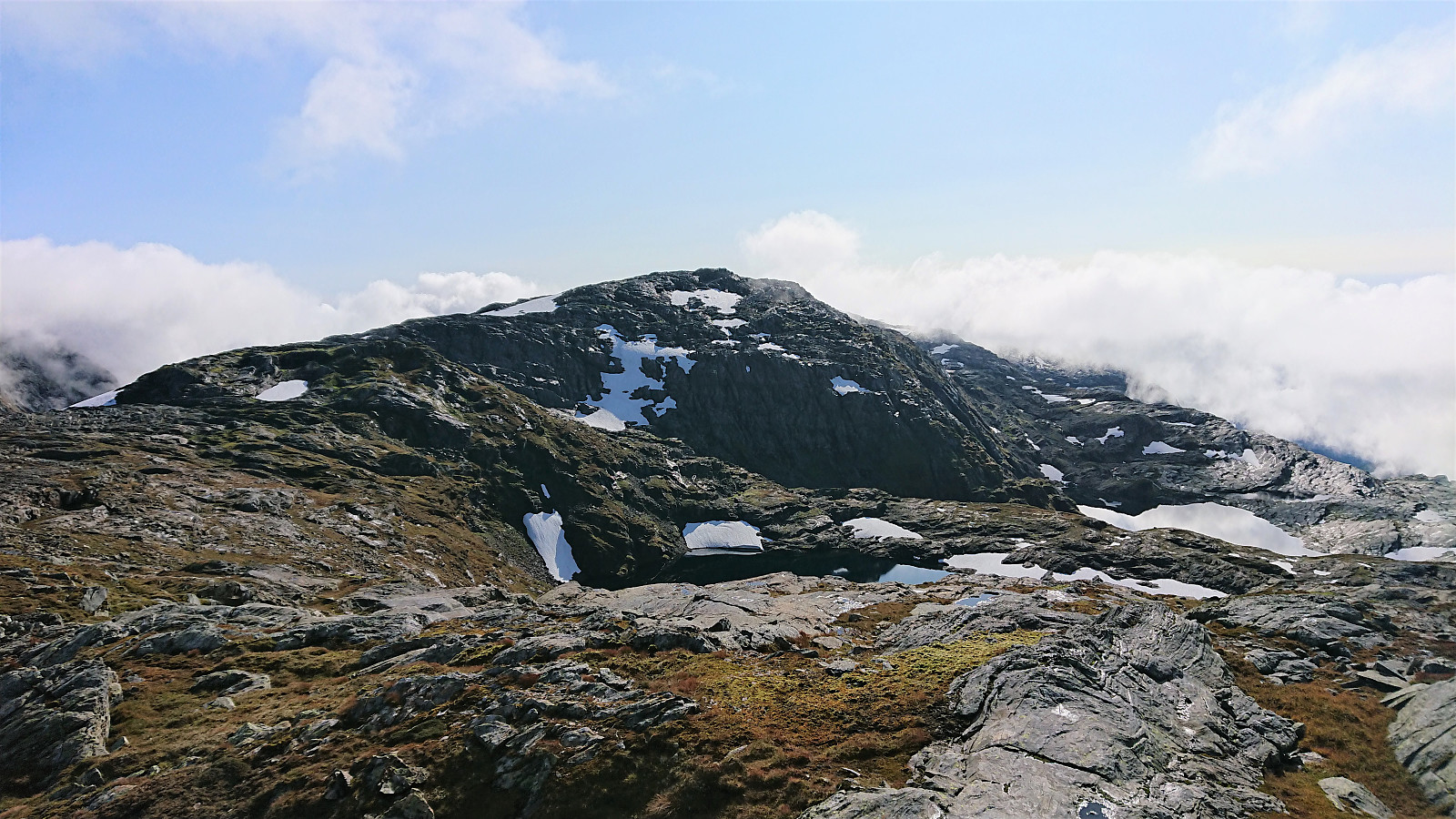
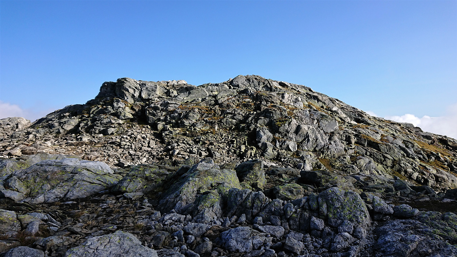
I continued off-trail to Jarlandsfjellet and Bjørnakultane, ending up at Bjørnakultane V for a short lunch break, before attempting a shortcut to Bjørnakultane S. This was generally successful. I did lose a bit of altitude though, so there are probably better routes than the one I ended up using. From Bjørnakultane S I descended south/southeast before starting the ascent of Raudaberget from the northeast, arriving at the summit without any difficulties.
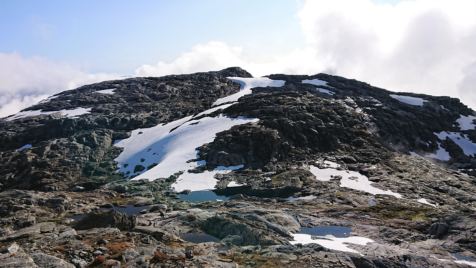
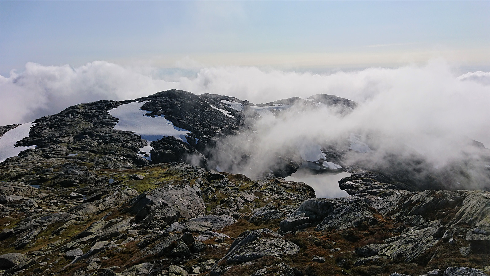
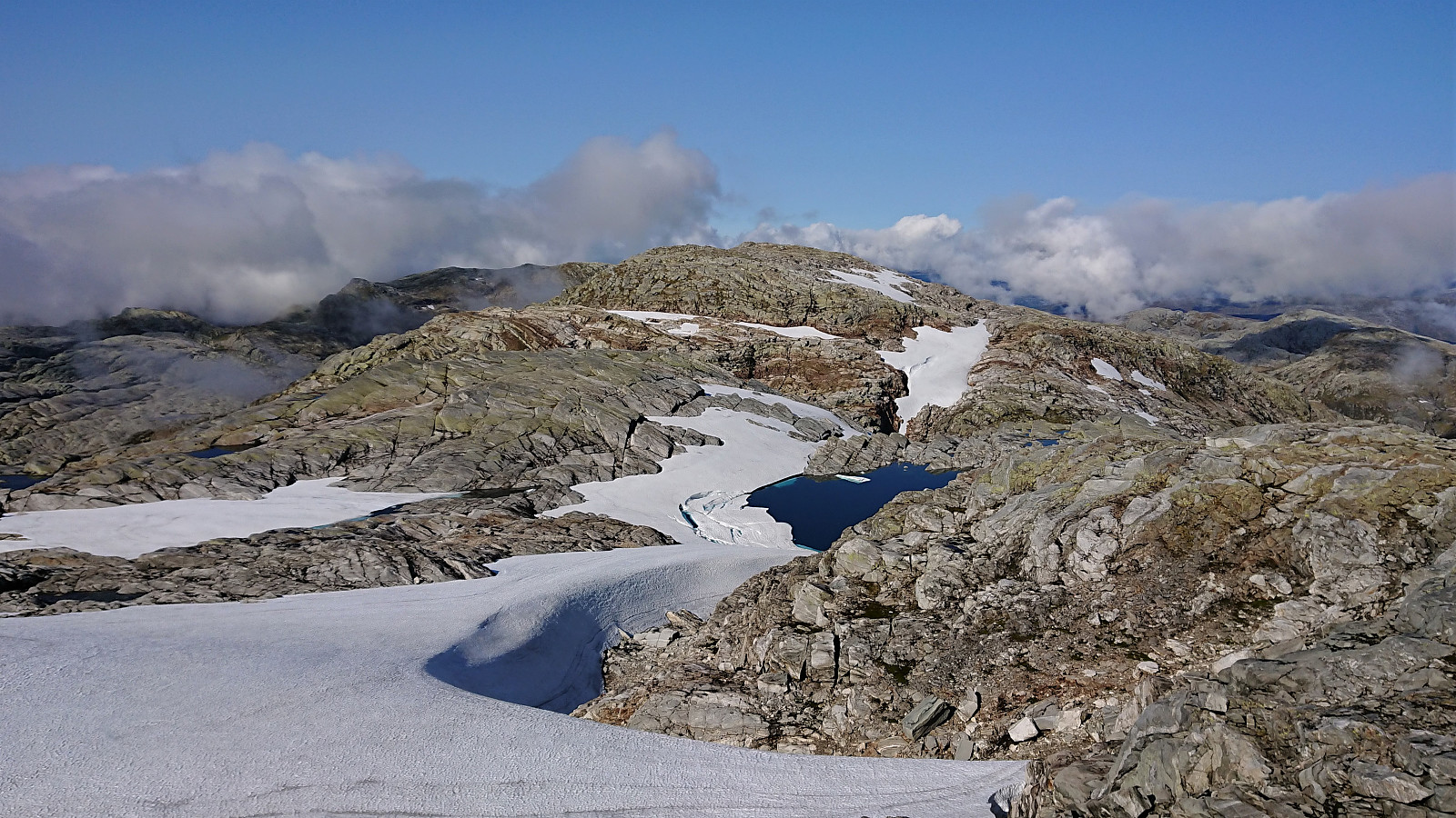
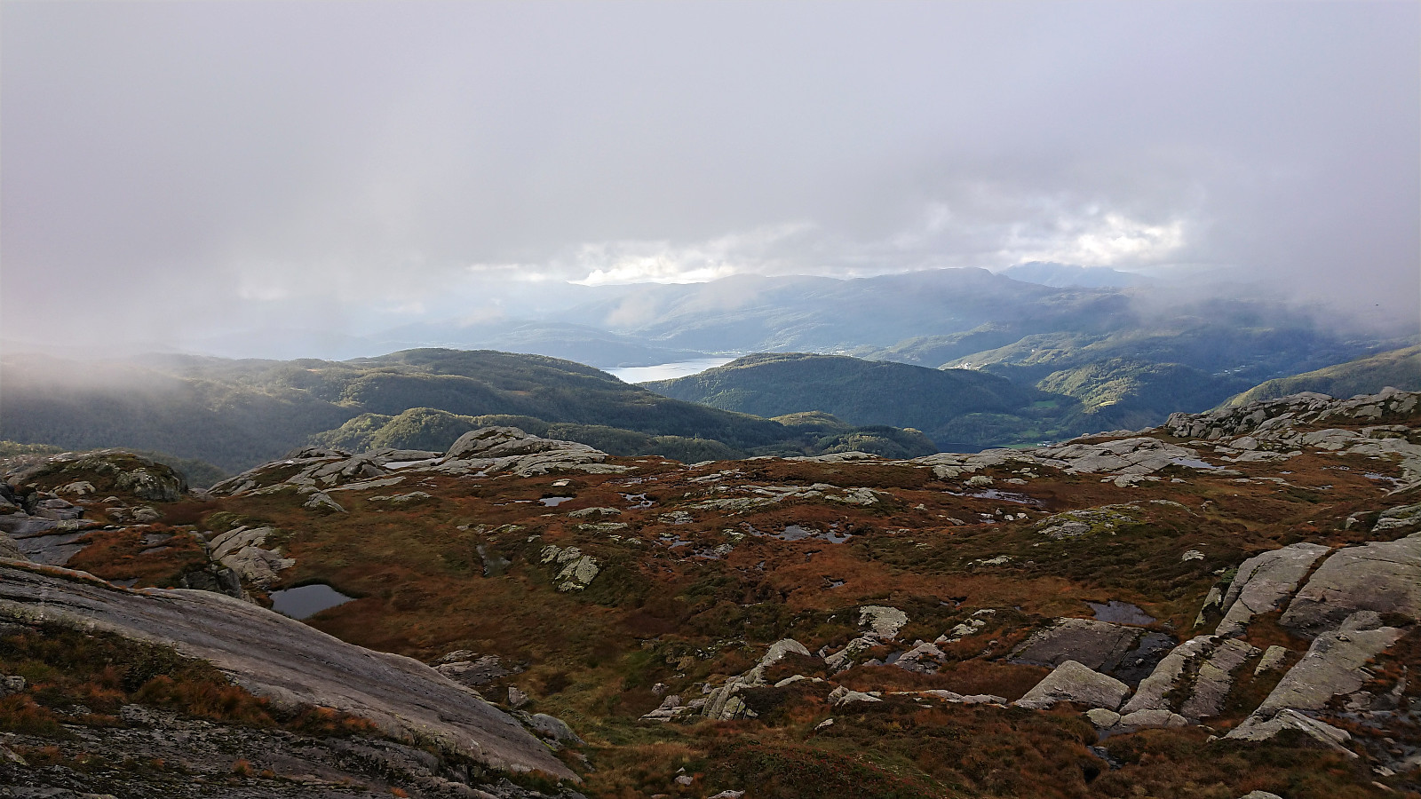
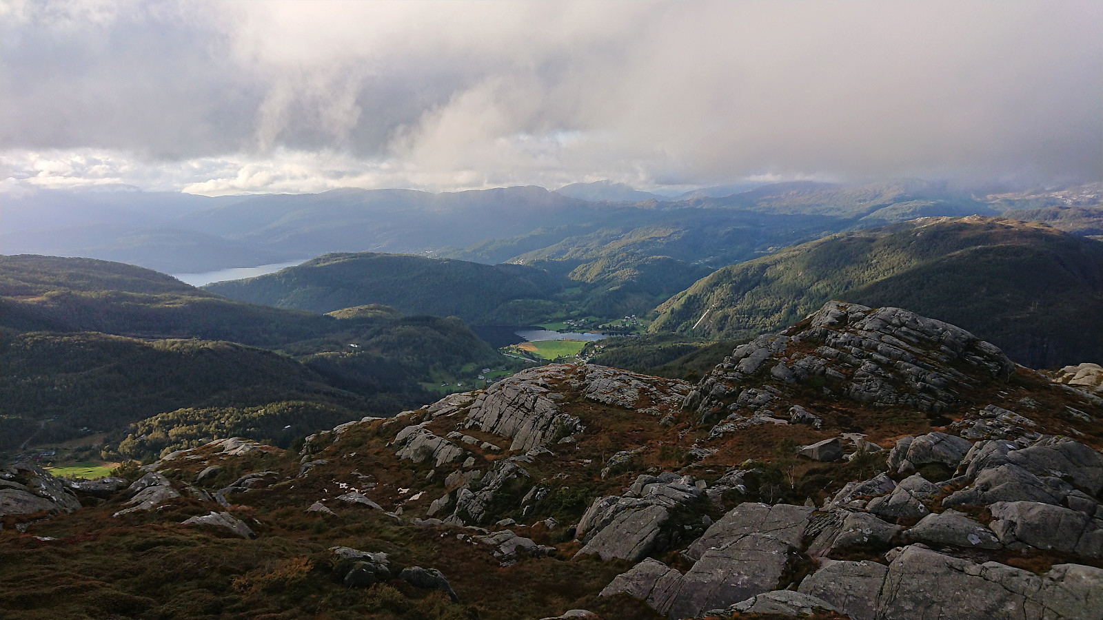
Next, I descended into the valley between Raudaberget and Gavlen. Here there were some steep areas, but these could be avoided without much difficulty. I continued west of the two small lakes before turning east and heading more directly towards the summit of Gavlen, which was finally reached with a bit of light climbing.
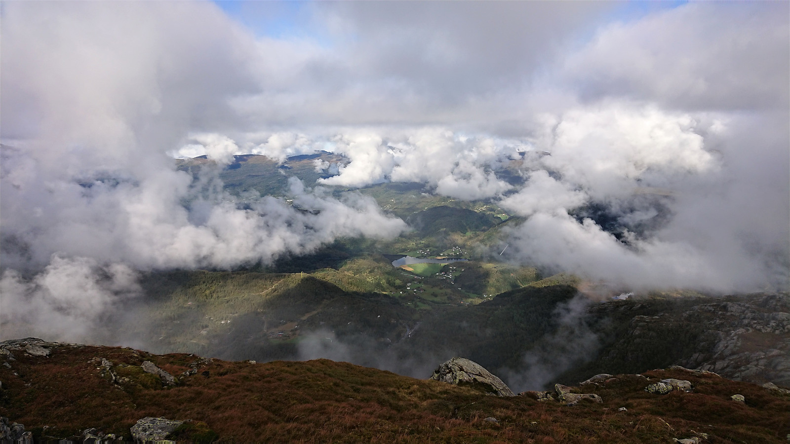
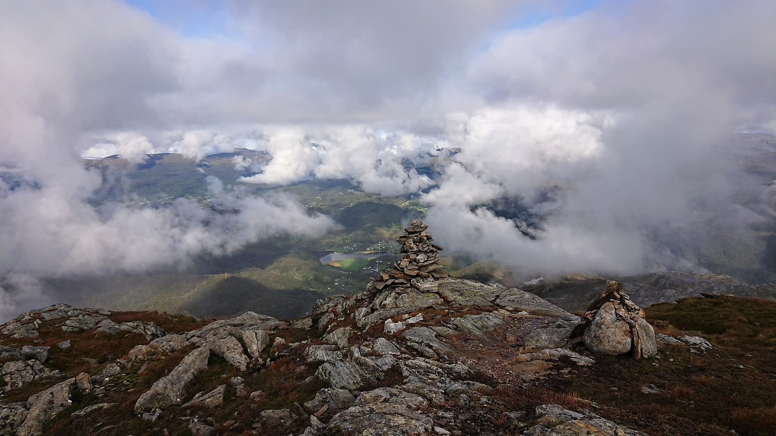
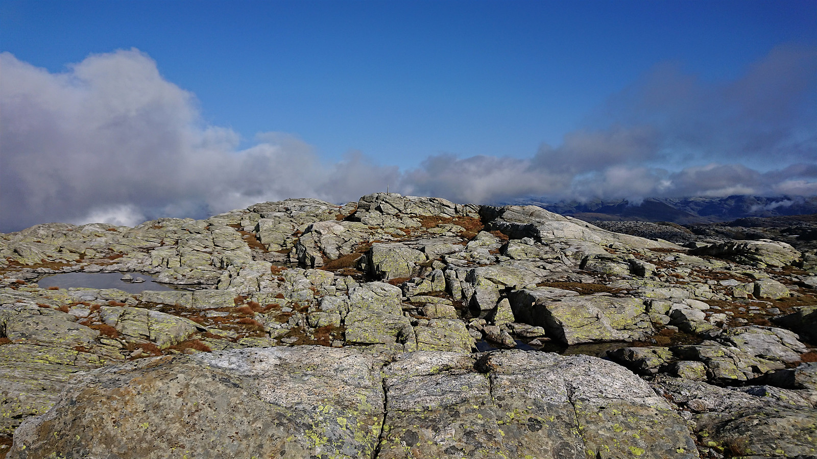
Sadly the views from Gavlen were today rather limited but I could at least spot Folgefonna above the fog to the south/southeast. Loftet and Gjønakvitingen could also be seen to the south. And while I had initially planned on also including these two in today's hike, I decided to not take any chances with the last bus at Frøland and rather leave these for a future hike.
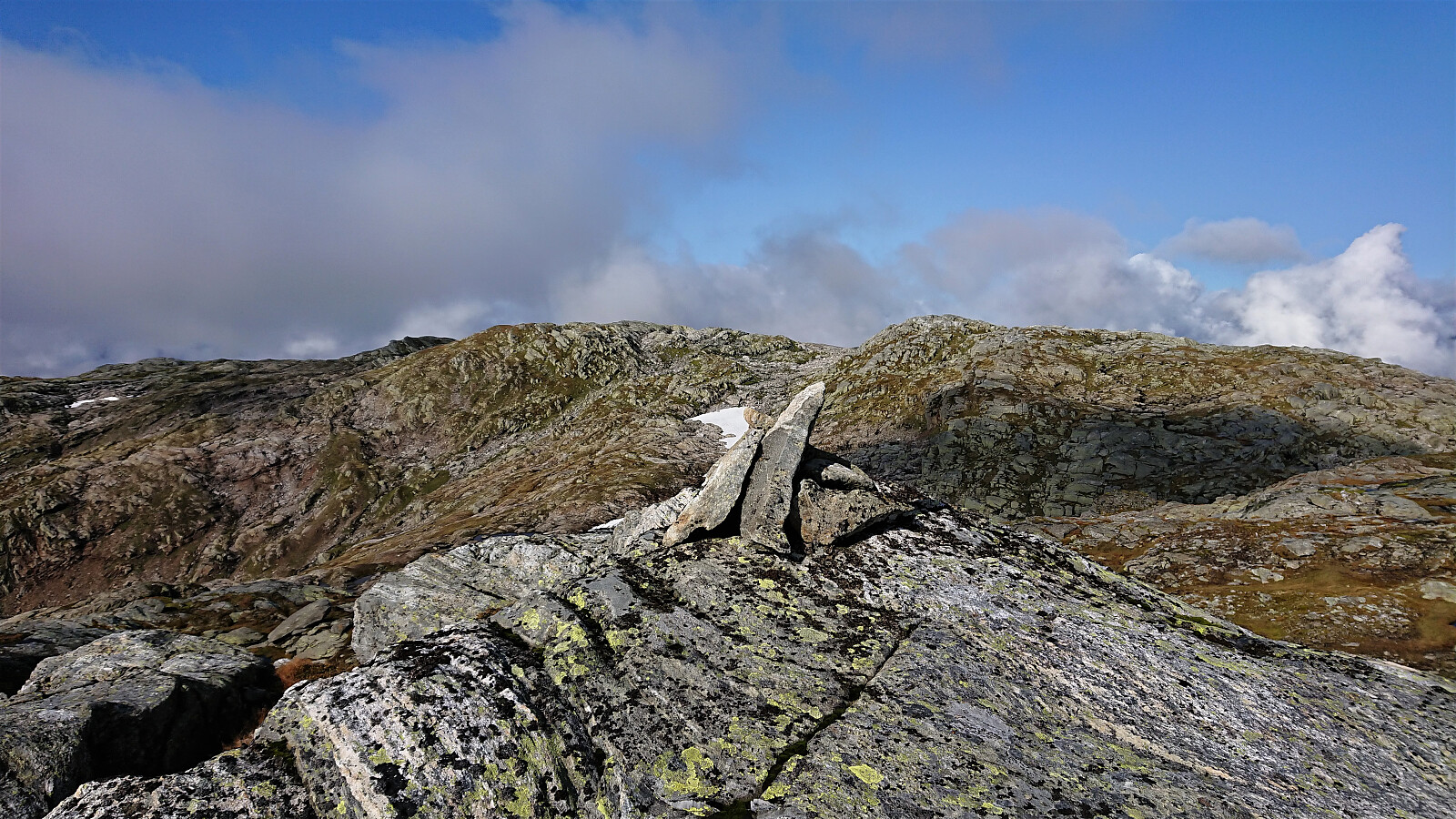
This turned out to be a good choice as the fog started reappearing about halfway through my return to Holmane, which would have made the navigation more tricky. I followed more or less the same route as for the ascent, but tried to take shortcuts to avoid unnecessary vertical meters when possible. The exception being the visit of Bjørnakultane N, which I added as a new PB-element.
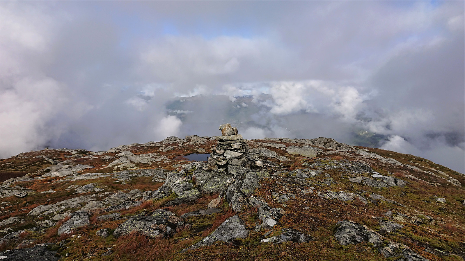
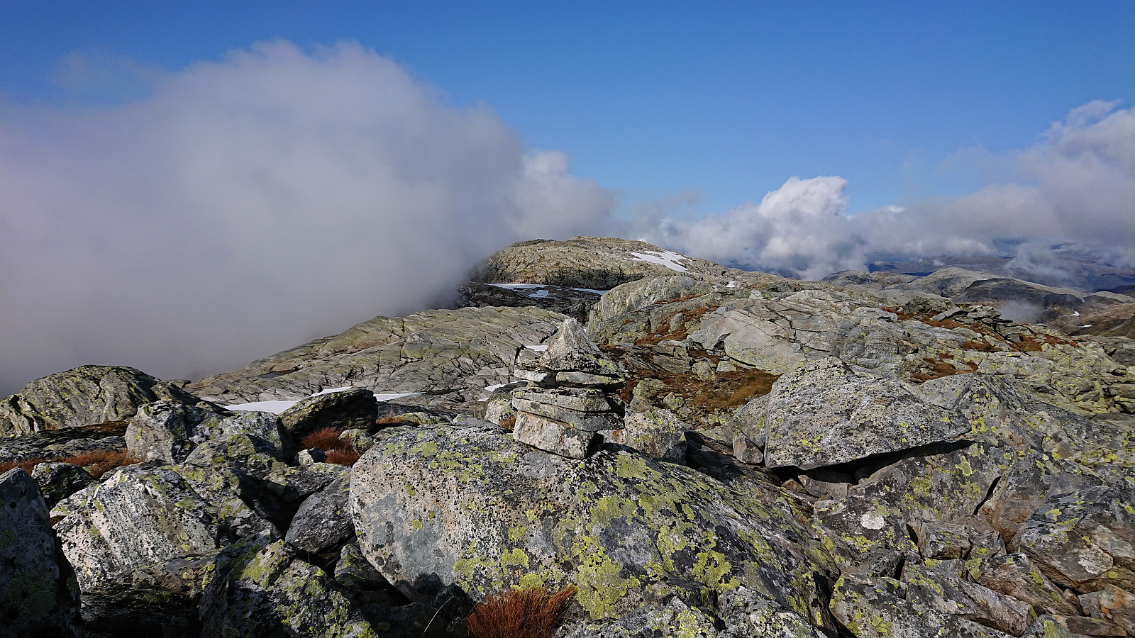
When arriving back at Kikenosi the fog was denser than ever before. To simplify the descent I tried sticking with the cairns as closely as possible. But again I lost them somewhere north of the valley east of the summit. By then I was however less than 200 meters from where I had lost them on the ascent, and I could thus easily reconnect with the trail. I'm still not sure where the proper route is, as the cairns seem to mark at least two different options. The fog finally cleared as I got closer to Storenipen, and I could enjoy some nice views to the southwest before entering into the forest and the last part of the trail.
To conclude, a long hike with potential for excellent views along the way. Note however that the trail only goes as far as Kikenosi (at least if you manage to follow the cairns towards the end...). The rest of the hike is off-trail with navigation that can quickly turn tricky in low-visibility conditions. Beyond that the terrain does not present any major challenges. And for those wanting a shorter hike in the same area, a visit of Kikenosi on its own can also be recommended.

| Start date | 19.09.2020 09:58 (UTC+01:00 DST) |
| End date | 19.09.2020 19:08 (UTC+01:00 DST) |
| Total Time | 9h 10min |
| Moving Time | 8h 11min |
| Stopped Time | 0h 58min |
| Overall Average | 2.9km/h |
| Moving Average | 3.2km/h |
| Distance | 26.4km |
| Vertical meters | 1,816m |


User comments