
Verafjellet (14.08.2020)

Written by hbar (Harald Barsnes)

| Start point | Langeneset (1m) |
|---|---|
| Endpoint | Langeneset (1m) |
| Characteristic | Hillwalk |
| Duration | 1h 33min |
| Distance | 2.8km |
| Vertical meters | 318m |
| GPS |
|
| Ascents | Verafjellet (314m) | 14.08.2020 |
|---|
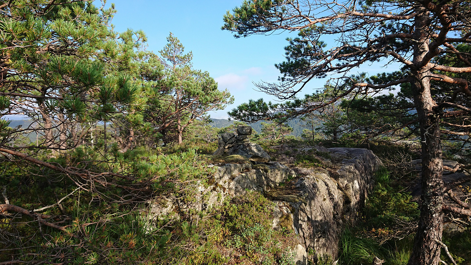
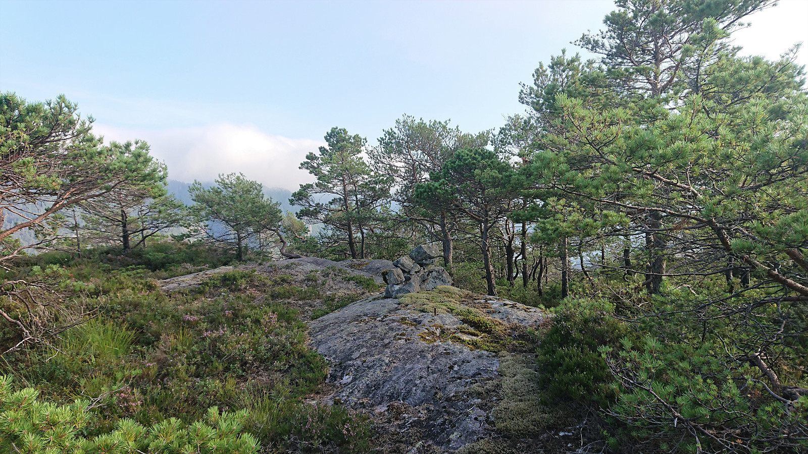
Verafjellet
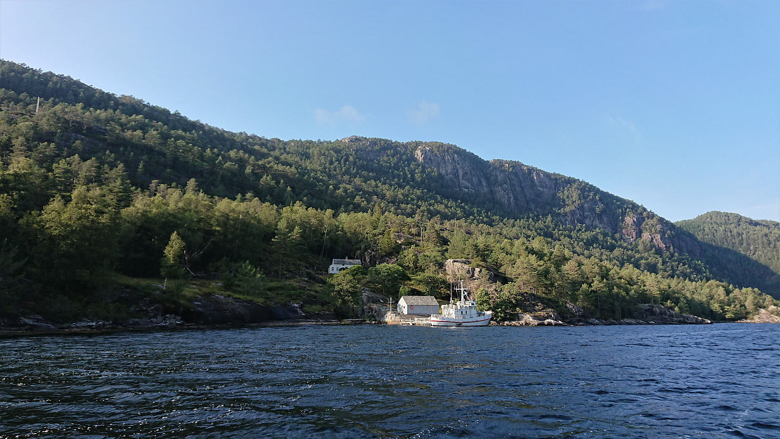
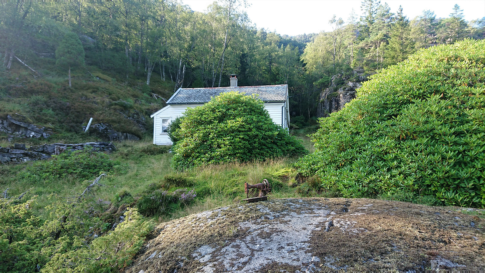

After visiting the three island-summits at Paddøy and Hokøy, there was time for also including a visit to Verafjellet, another summit most easily reached by boat. I was dropped off at the private dock at Langeneset, made slightly more challenging by there already being a large boat docked there. Did not see any people though and the building 50 meters from the shore also looked rather abandoned.
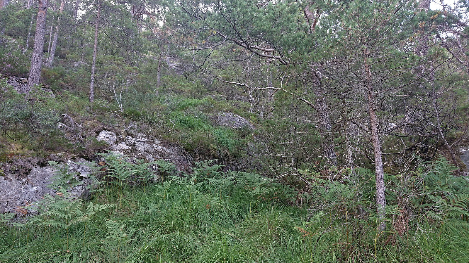
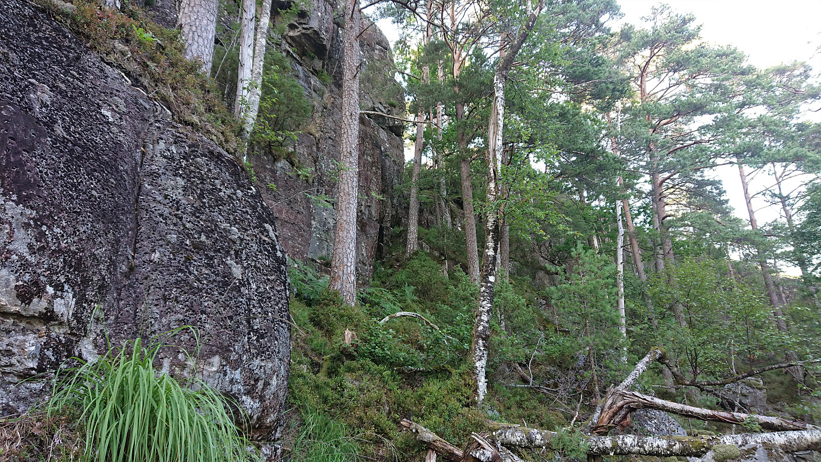
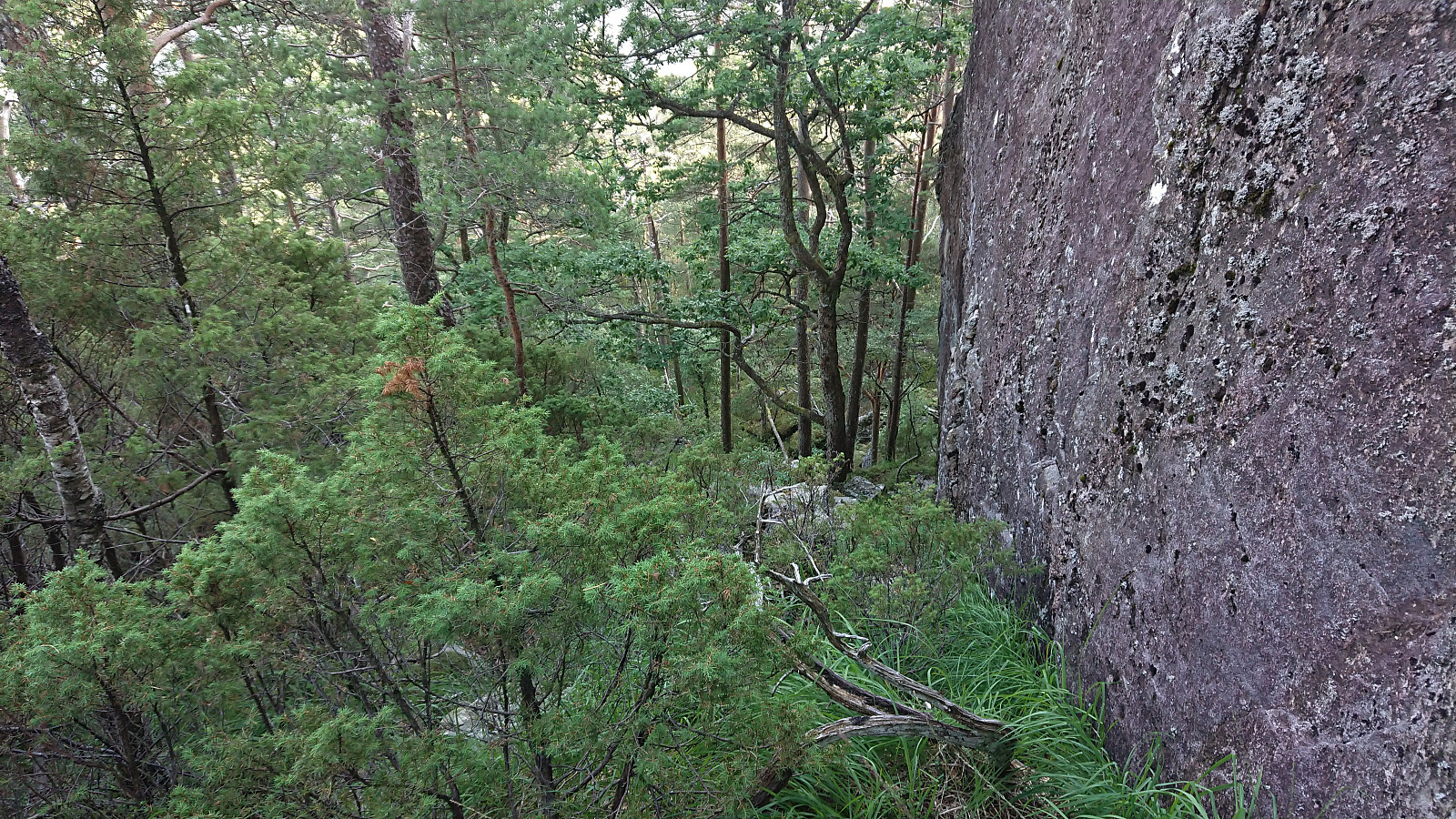
Previous trip reports showed that there are no trails and indicated a key location I ought to hit on the ascent. With this in mind, I therefore used elbow (Vegard Magnussen)'s GPS-track as a rough guide, thus hitting the important key location straight on. From there the summit was relatively easy to reach, although the terrain's many ups and downs required more of a detour than I had perhaps expected.
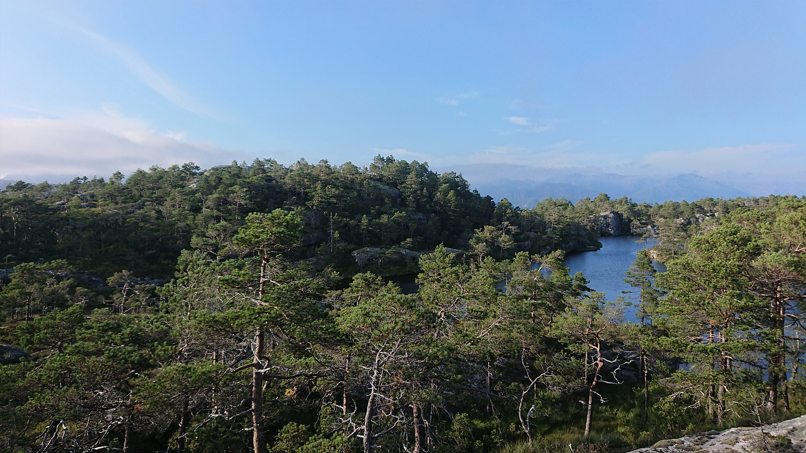
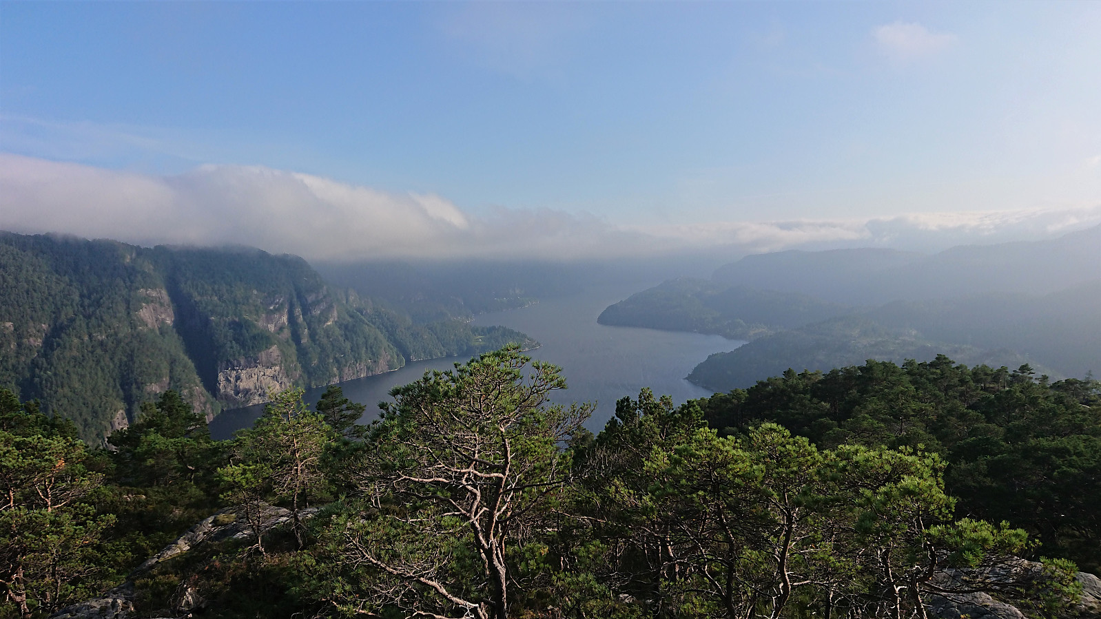
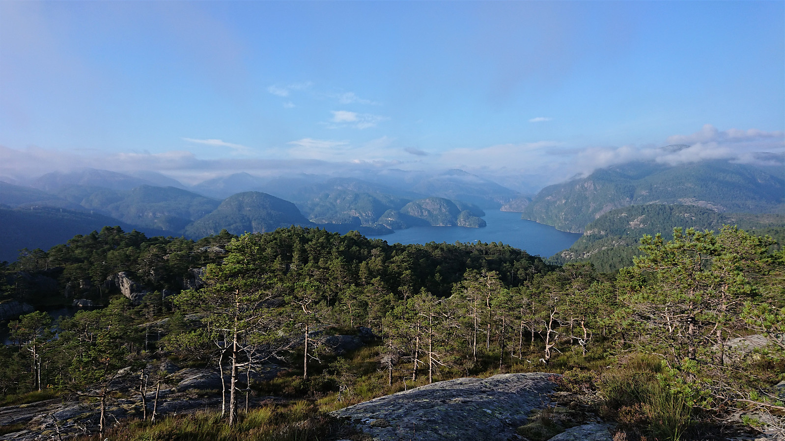
Limited views from the summit itself. I therefore moved just northeast of the summit for better views towards Romarheimsfjorden, before returning along more or less the same route as for the ascent. The day was concluded by fishing in Heimvikvågen before returning to Litlebergen. Overall, a very successful day, for both hiking and fishing. :)
| Start date | 14.08.2020 18:13 (UTC+01:00 DST) |
| End date | 14.08.2020 19:46 (UTC+01:00 DST) |
| Total Time | 1h 33min |
| Moving Time | 1h 16min |
| Stopped Time | 0h 16min |
| Overall Average | 1.8km/h |
| Moving Average | 2.2km/h |
| Distance | 2.8km |
| Vertical meters | 317m |


User comments