
Skrott and Breidablik from Fitjadalen (24.07.2020)

Written by HHauser (Helwig Hauser)

| Start point | Fitjadalen (275m) |
|---|---|
| Endpoint | Fitjadalen (275m) |
| Characteristic | Hike |
| Duration | 5h 30min |
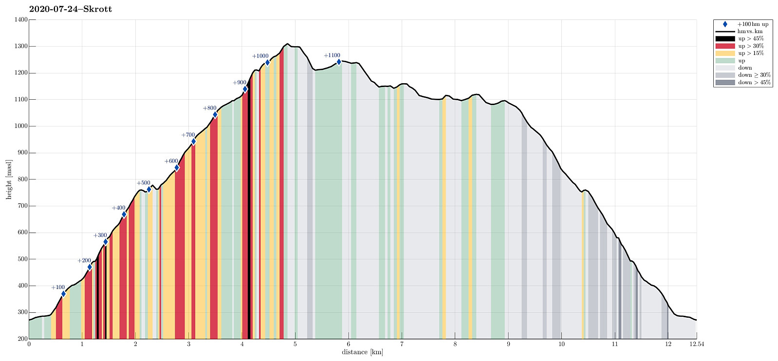
| Distance | 12.5km |
| Vertical meters | 1,193m |
| GPS |
|
| Ascents | Glynt (1,253m) | 24.07.2020 |
|---|---|---|
| Skrott (1,319m) | 24.07.2020 | |
| Visits of other PBEs | Breidablik (1,163m) | 24.07.2020 |
| Fitjadalen p-plass (273m) | 24.07.2020 |
Trip Summary
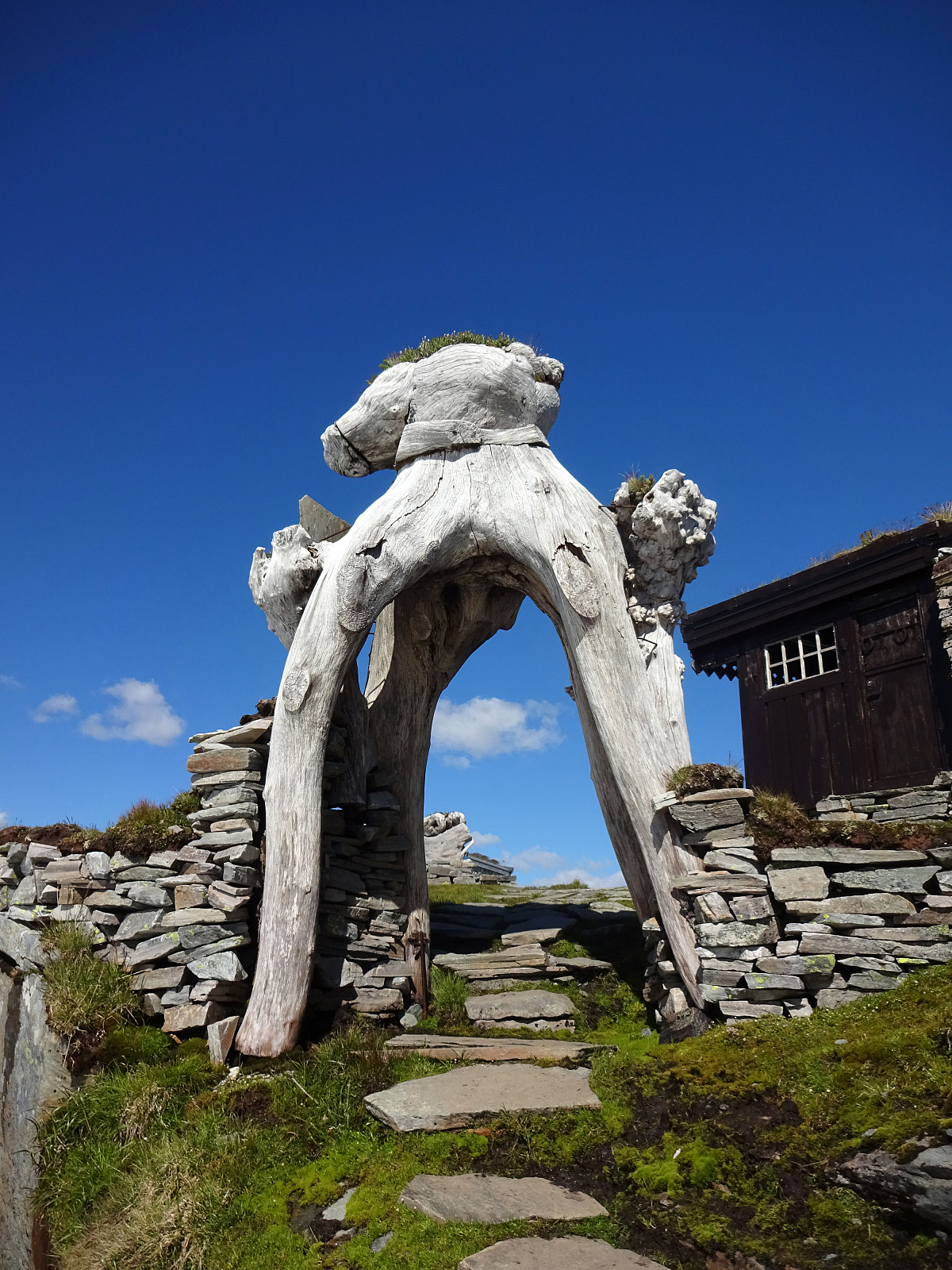
Expecting a nice summer day, we headed into the direction of Hardanger. Our plan was to ascend to Skrott, starting from Fitjadalen. After first driving to Øystese, via Kvamskogen, we turned into a northwards direction in Øystese, ascending east of Øysteseelva towards Fitjadalsvatnet. After rounding Fitjadalsvatnet on its eastern side, we parked at Fitjadalen and started hiking along the nicely marked trail leading up to Breidablik via Håsete and Vindskjersleitet. One first walks a bit "kind of" level until crossing Kjølo, coming down from Smørdalen, before then starting a significant ascent into the direction of Håsete. All in all, there isn't too much interesting to write about this trail, rather than that it's straight-forward to follow. At Håsete, we deviated for a short stretch before returning to the trail quickly and continuing along it until reaching Vindskjersleitet at about 1100mosl. Up there, instead of further following the main trail (to Breidablik), we turned right (eastwards), passing by a little cabin, before then starting our ascent to Skrott. After all, the final ascent to the top of Skrott was quicker (and easier) than first anticipated. After enjoying impressive views from up Skrott, we continued in northern direction, descending first rather steeply over a convenient snow field, before crossing over to Glynt. From there, we continued further northwards (and downwards), before turning left (and westwards) to get over to Breidblik. This place clearly is interesting, in the middle of impressive mountains, with its three cabins and a little pond in the middle. From Breidablik, we then started our hike back, first via Vindskjersleitet and then back down the same trail that we had taken up first already. All in all, Skrott is a very nice hiking goal from Øystese (Fitjadalen), and doing this hike on a nice day is definitely a big extra plus! :-)
Photos
Selected photos are available as Google photo album.
Useful Resources
See also the related FB-page Hiking around Bergen, Norway.
Petter Bjørstad has a useful page about Skrott and also web page WestCoastPeaks.com provides useful information about Skrott, Manfjellet, Geitafjellet, and Glynt.
Web page UT.no from the Norwegian Trekking Association recommends a similar hike.


User comments