
Brattanakken and Midtnova (16.07.2020)

Geschrieben von hbar (Harald Barsnes)

| Startpunkt | Øyane p-plass (106m) |
|---|---|
| Endpunkt | Øyane p-plass (106m) |
| Tourcharakter | Bergtour |
| Tourlänge | 7h 45min |
| Entfernung | 18,1km |
| Höhenmeter | 1.231m |
| GPS |
|
| Besteigungen | Brattanakken (864m) | 16.07.2020 |
|---|---|---|
| Midtnova (832m) | 16.07.2020 | |
| Besuche anderer PBE | Øyane p-plass (105m) | 16.07.2020 |
Brattanakken and Midtnova
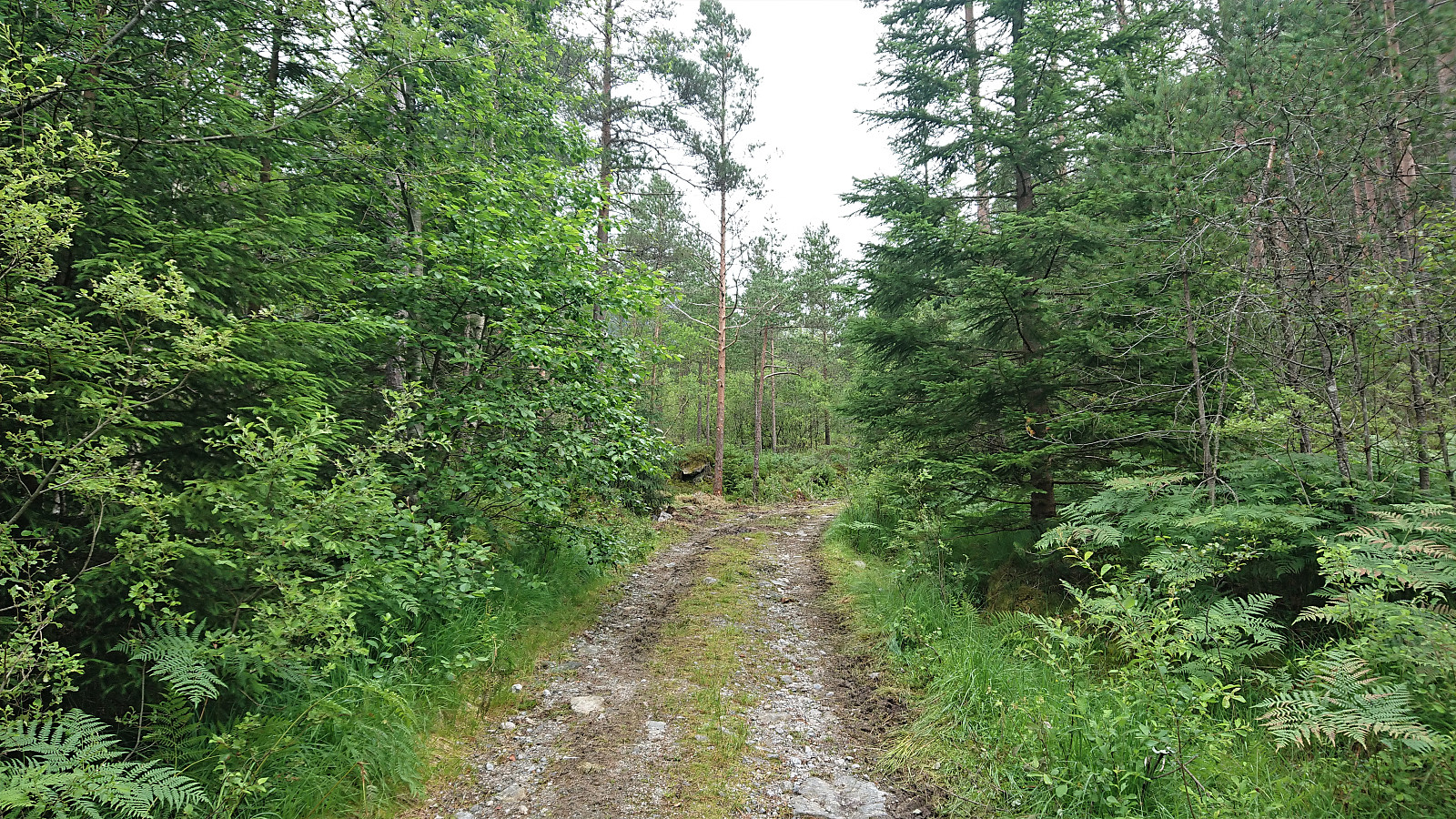
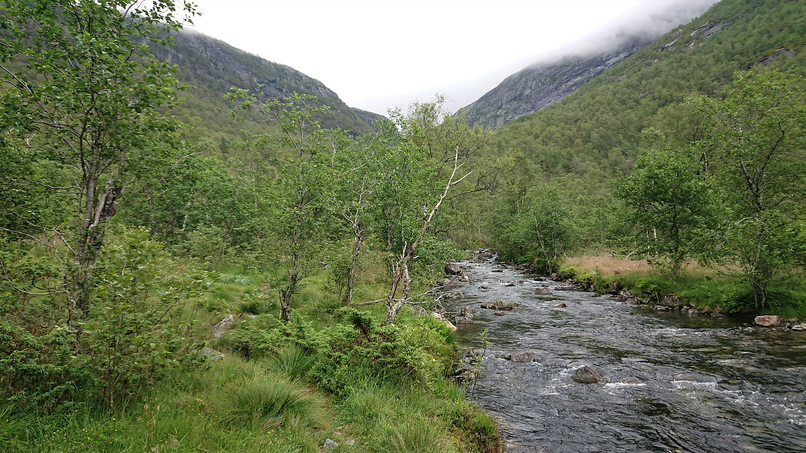
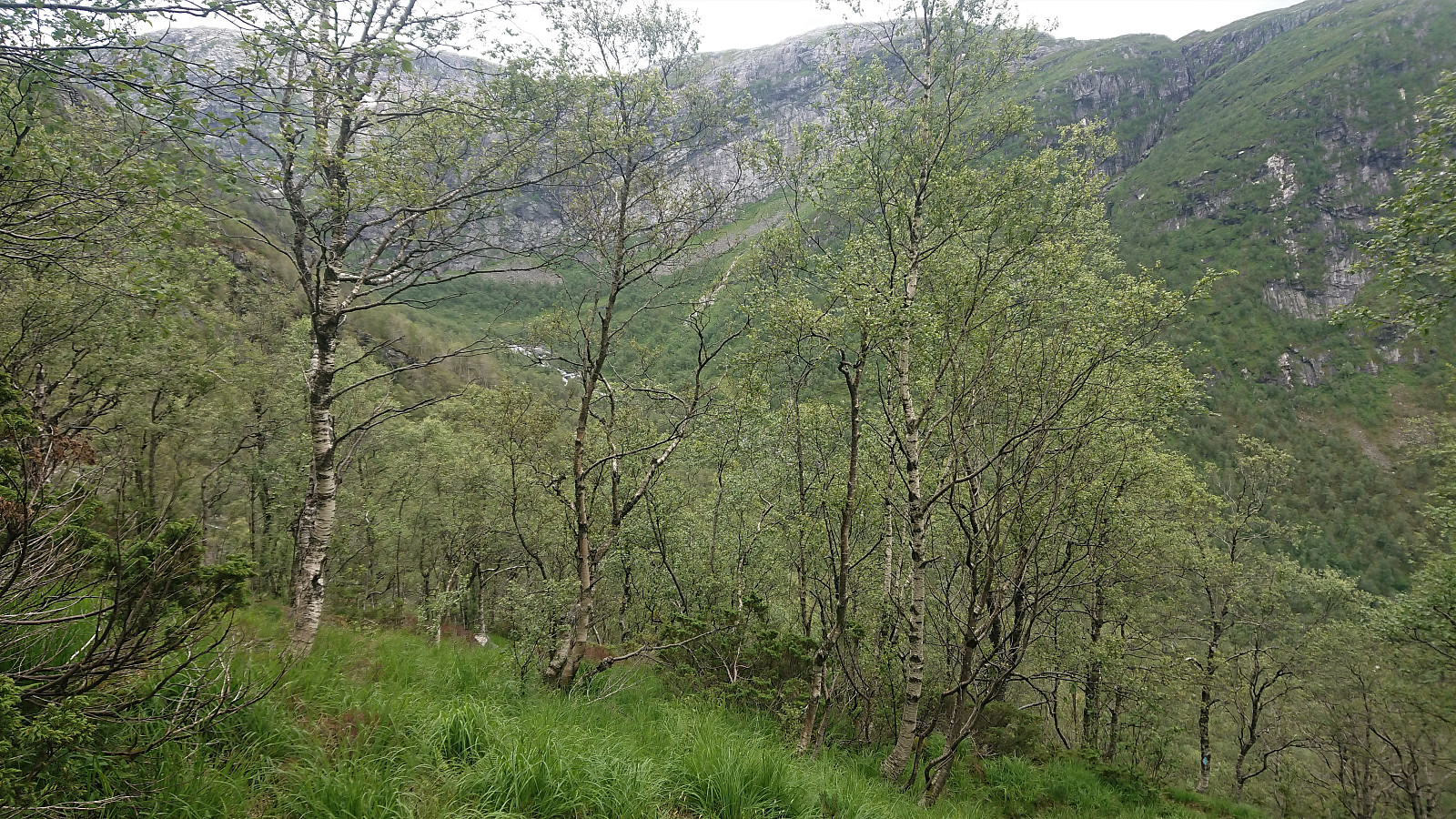
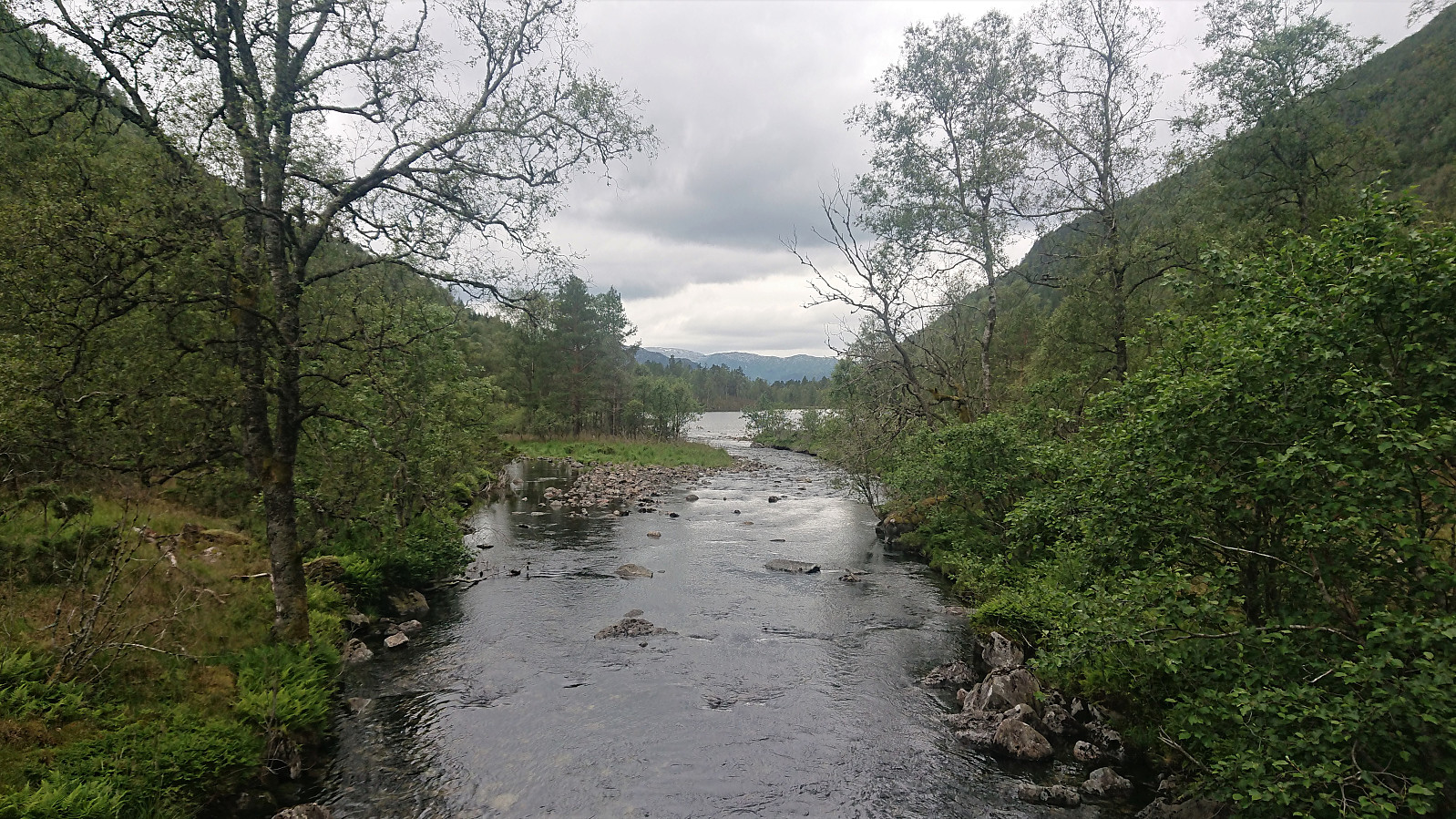
A hike with two colleagues starting from Øyane p-plass and from there following a tractor road up Øyadalen to Dalastølen, and then a marked trail along the river to Gavvatnet. Nice steady ascent with only a short steeper section towards the end.
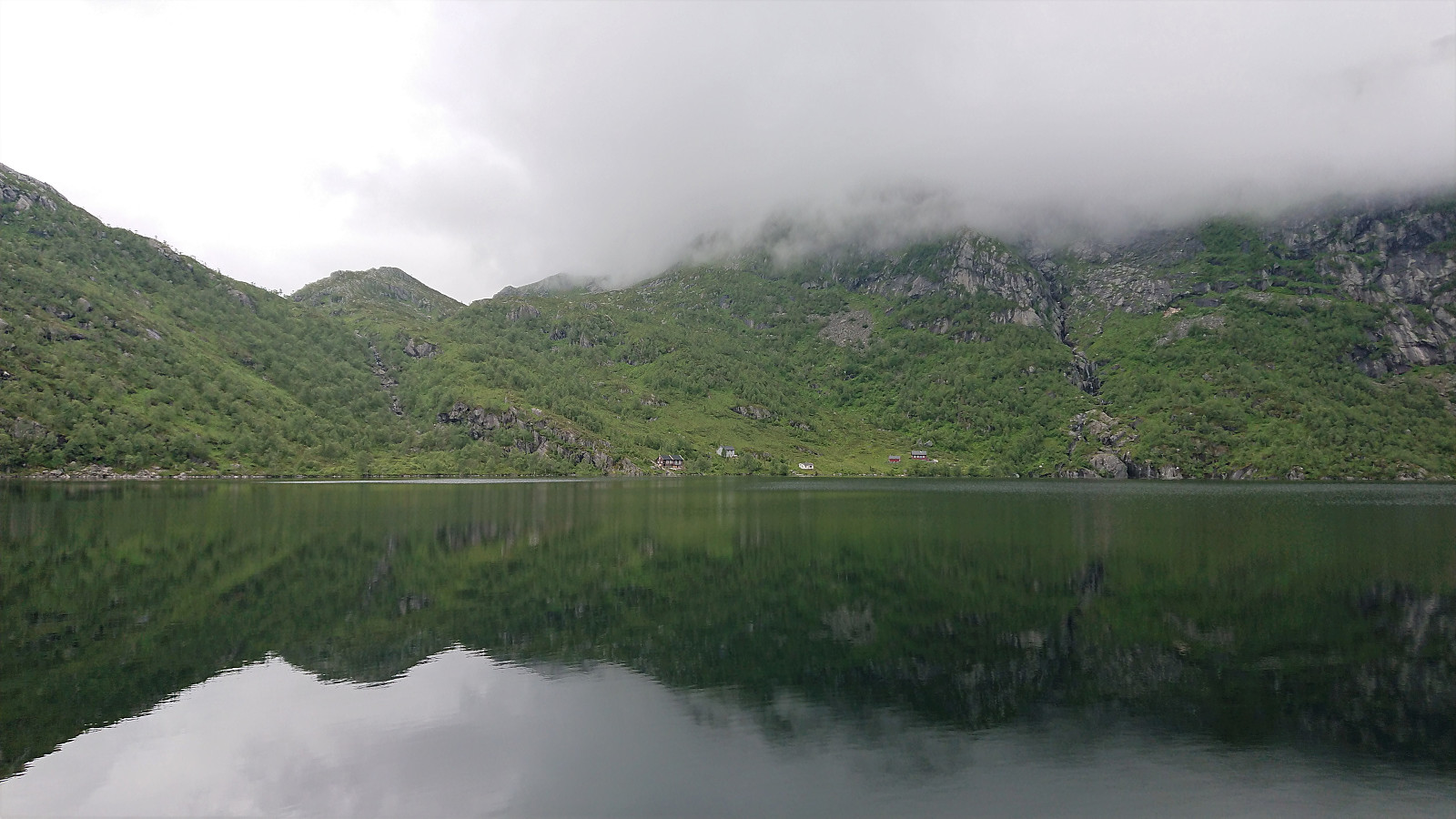
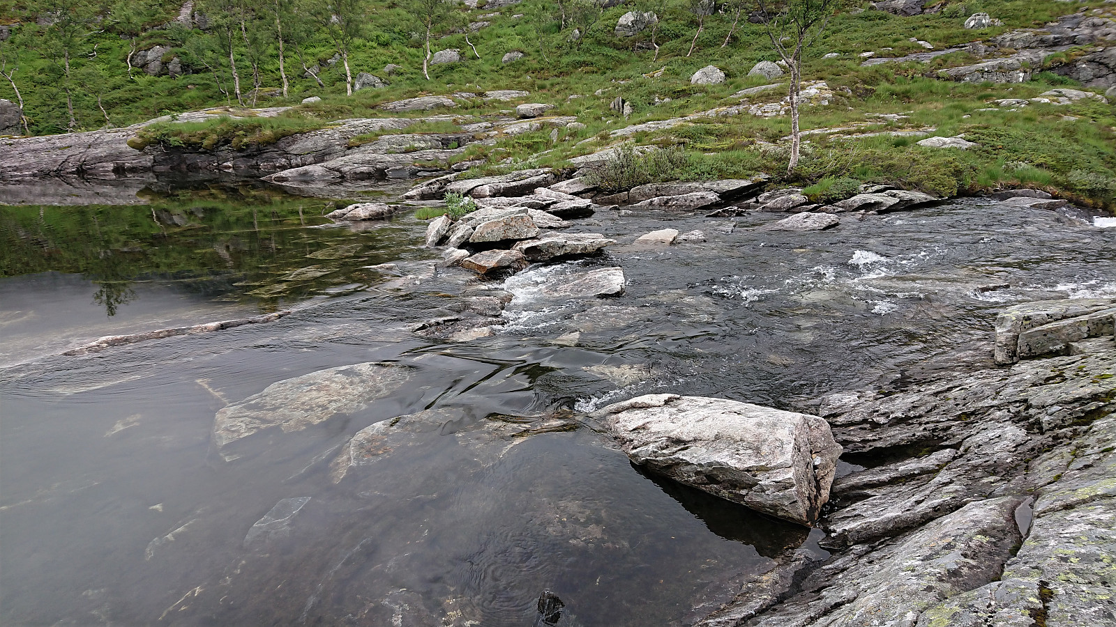
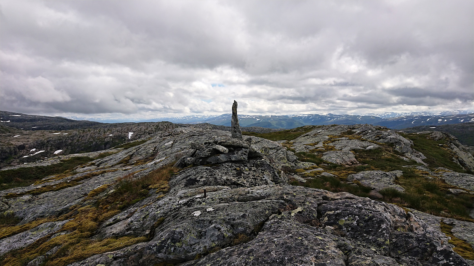
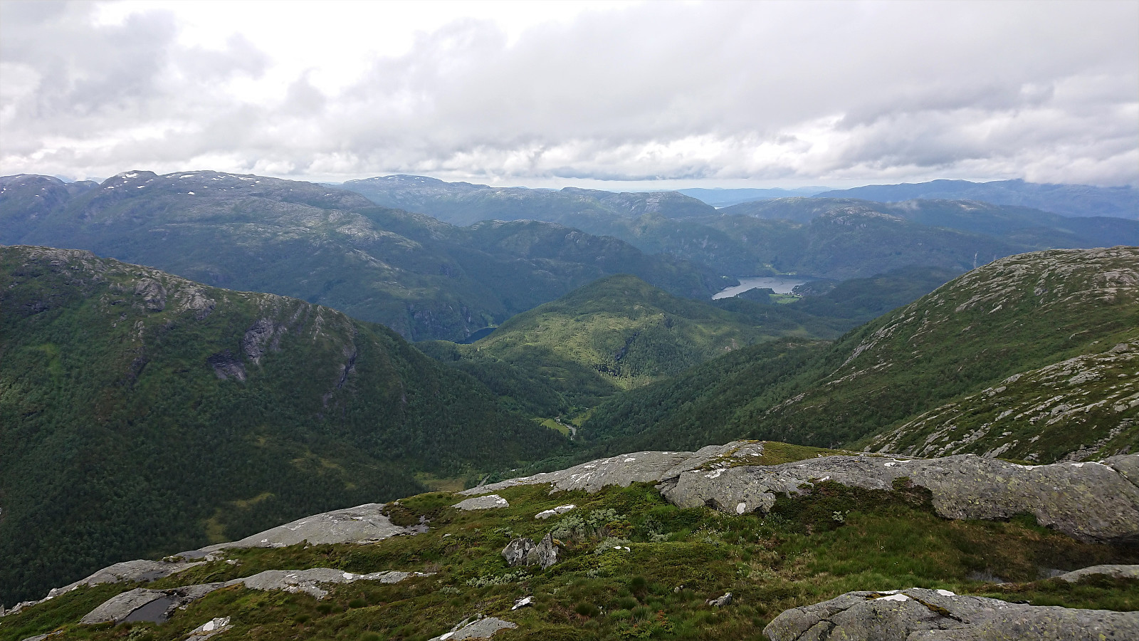
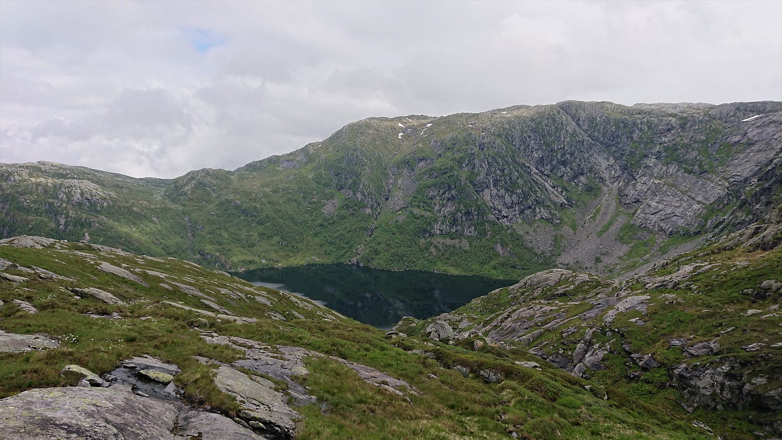
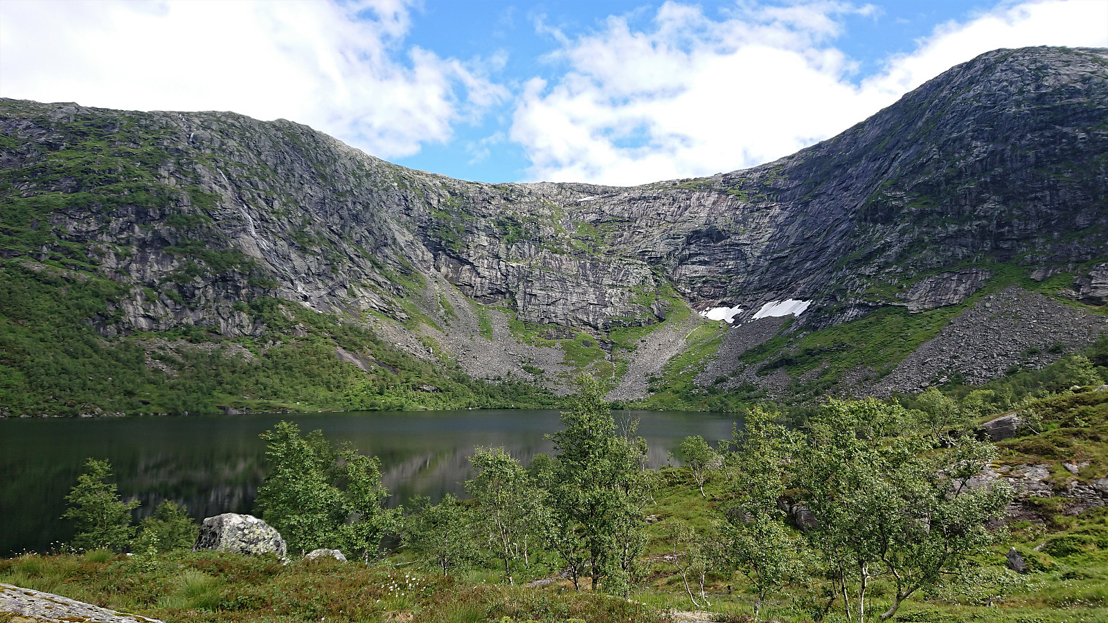
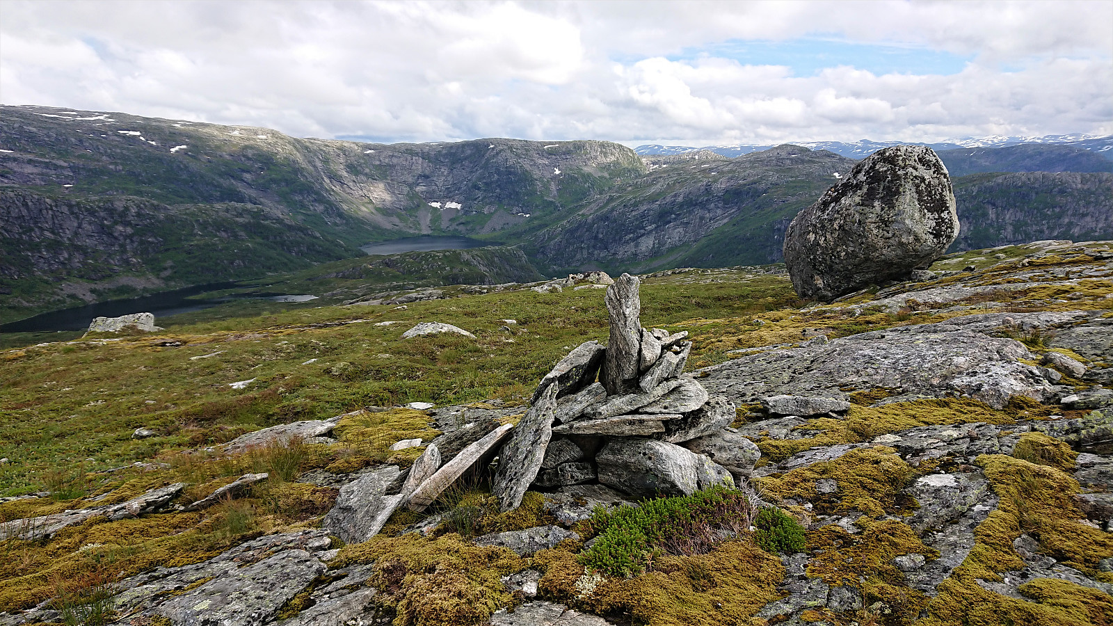
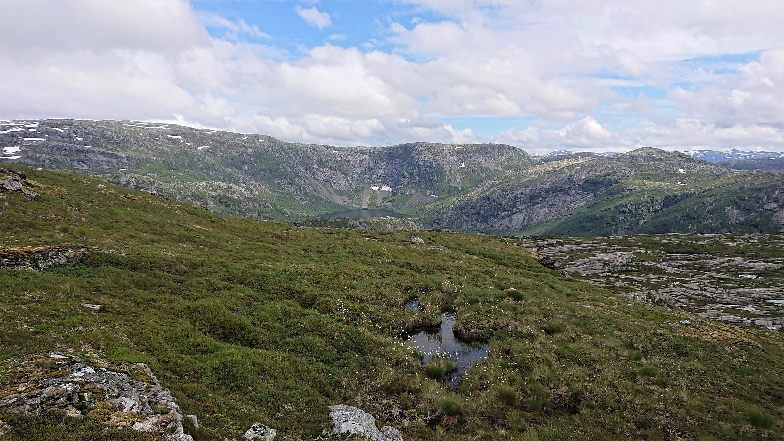
At Gavvatnet, my two colleagues stayed behind for an extended lunch break while I waded across the river to continue on my own to Brattanakken. First ascending steeply towards Geitahaugen, before turning southeast for the summit of Brattanakken when the terrain turned less steep, and reaching the summit without any difficulties, which provided nice views in all directions, including an unusual view of Storenipa.
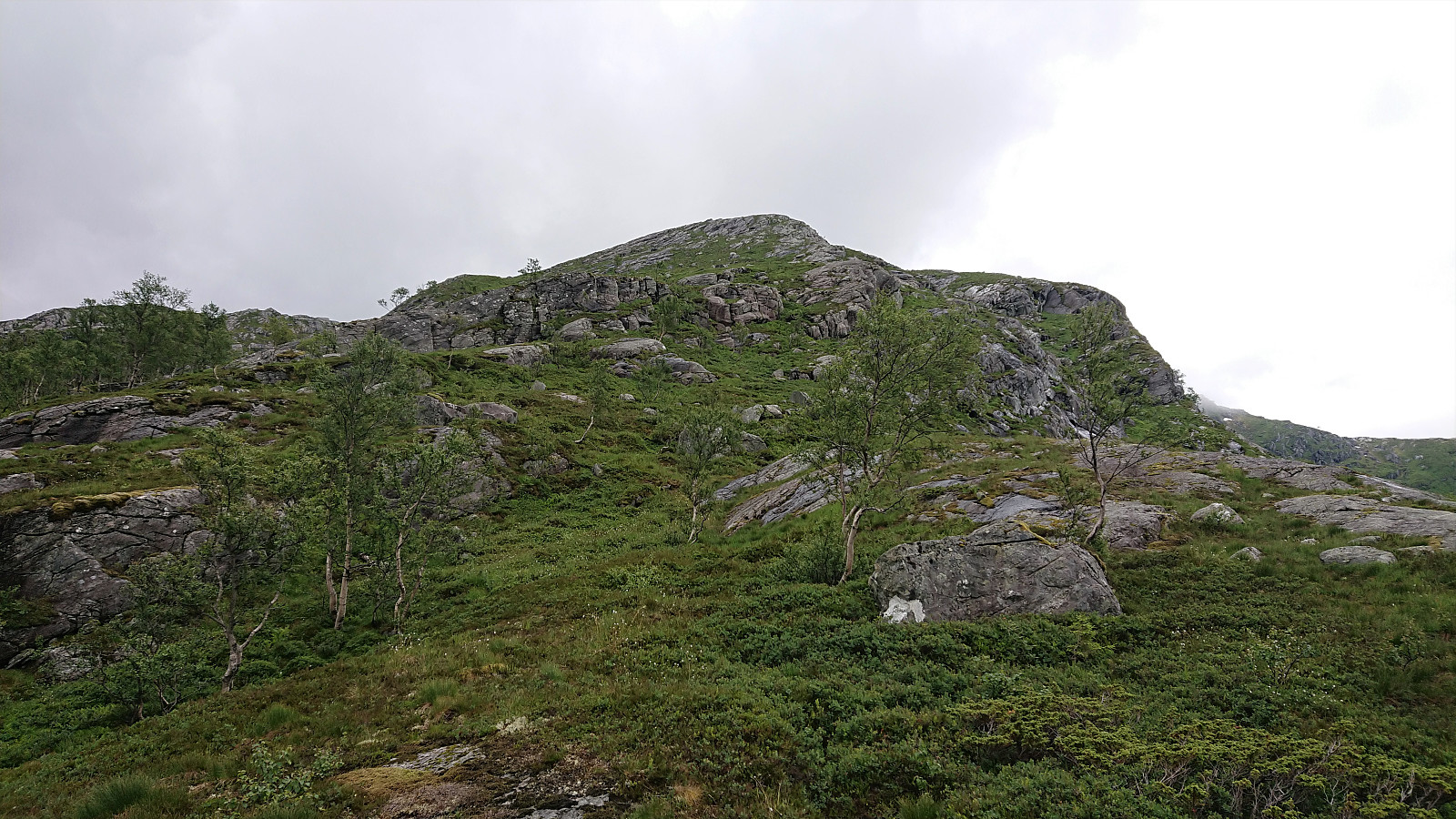
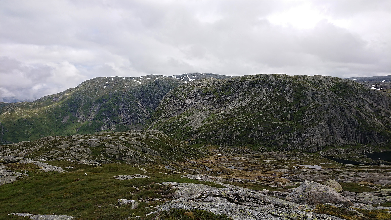
I returned to my colleagues along pretty much the same route, and together we continued on the marked trail to Hesjedalsstølen via Øyastølen. We did not go all the way to Hesjedalstølen though, but rather started to make our own way up to Midtnova. (I also considered taking another detour on my own to Geitafjellet, as we were pretty close, but decided to leave that for a future hike.)
We followed slightly different routes, with mine being the most direct, and thus also the steepest. Note that if a less steep route is preferred, one can instead follow the cairns up Midtrinden, as we partially did on the descent.
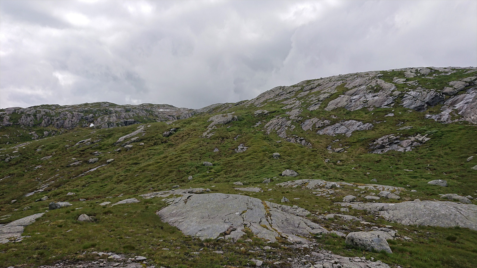
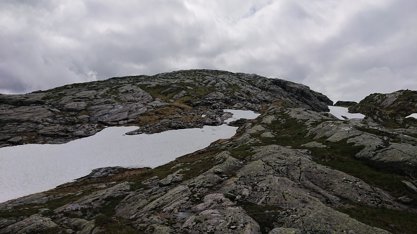
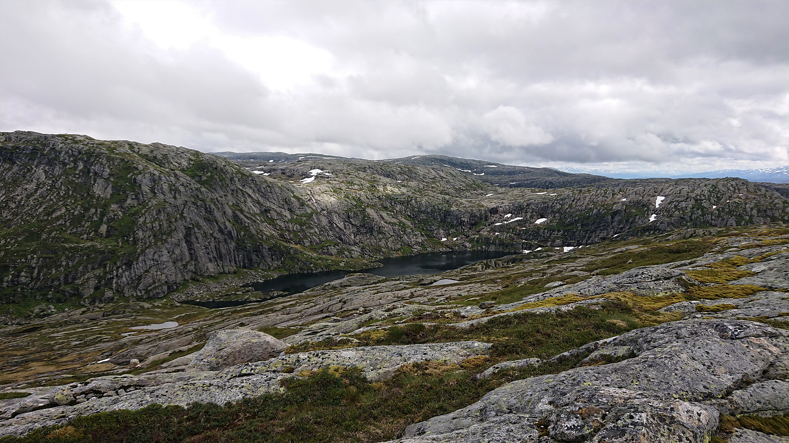
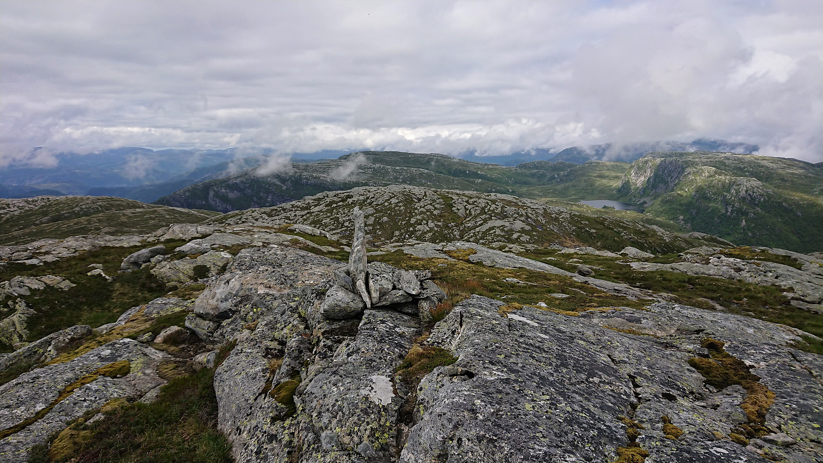
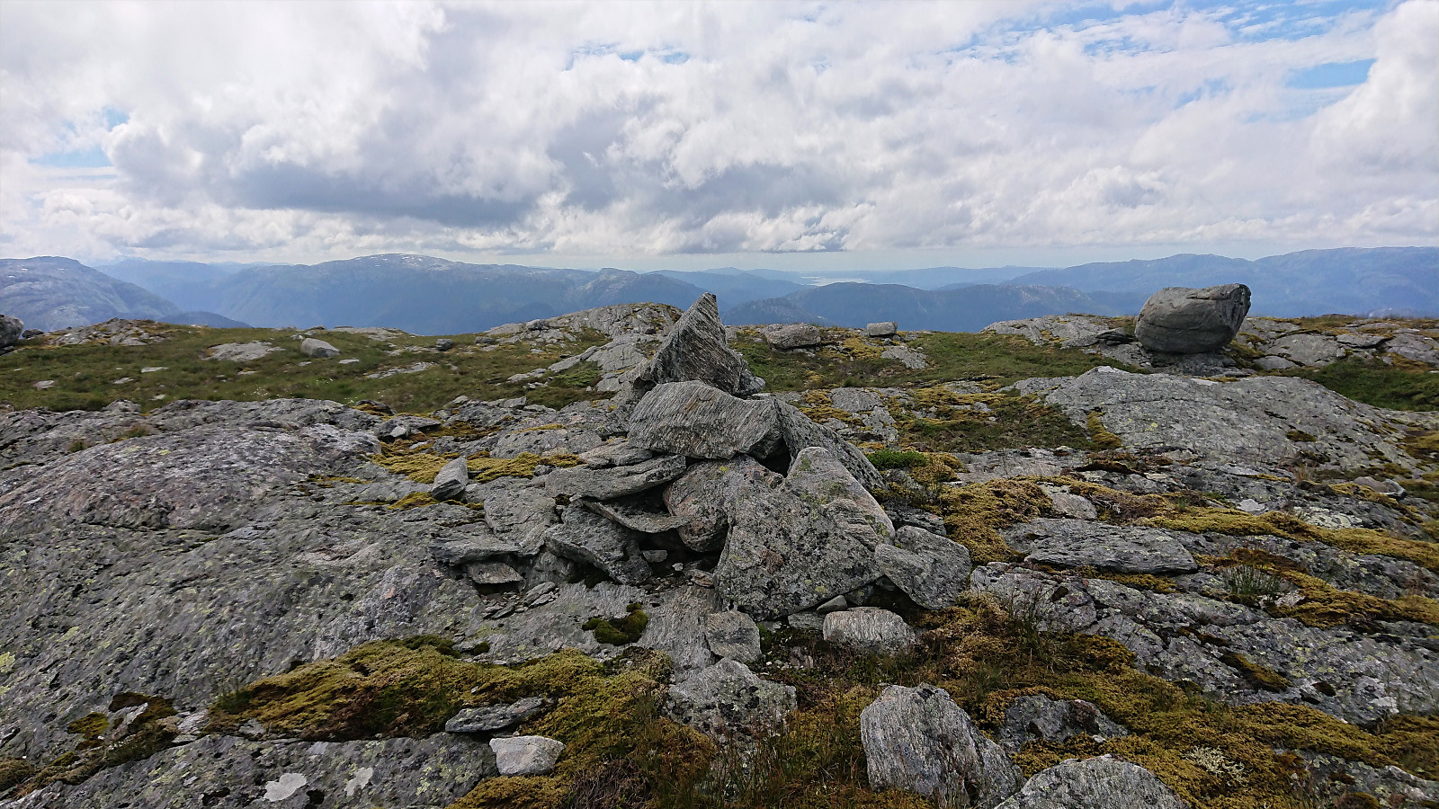
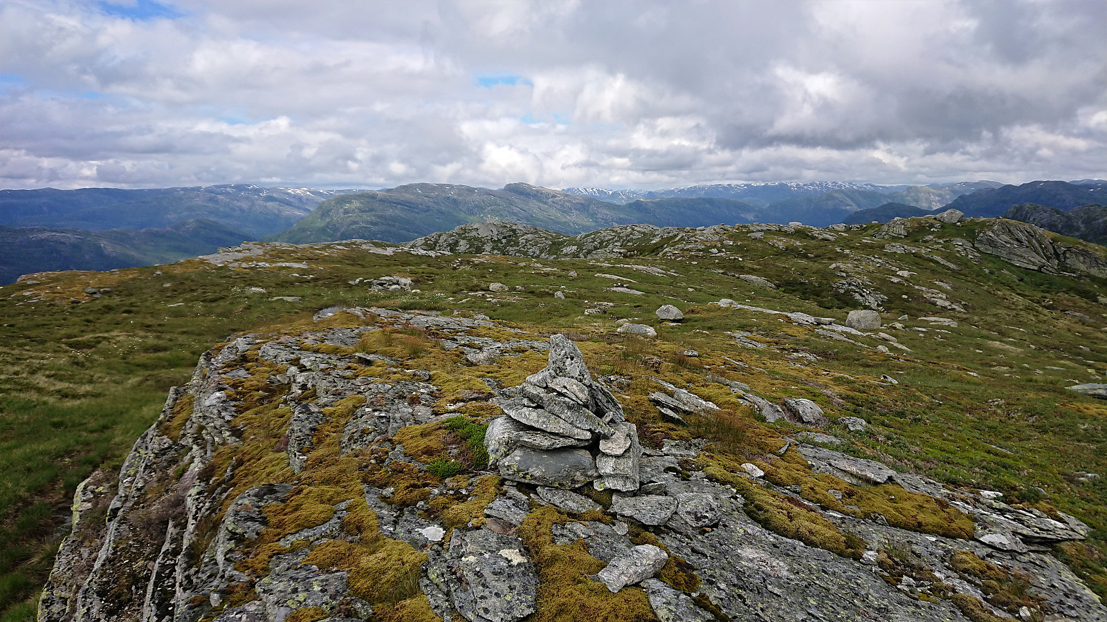
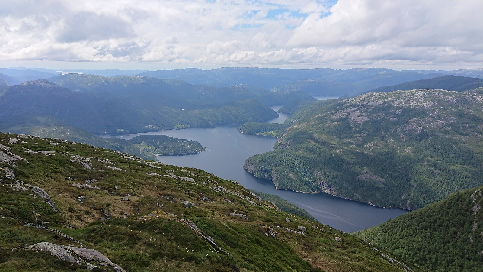
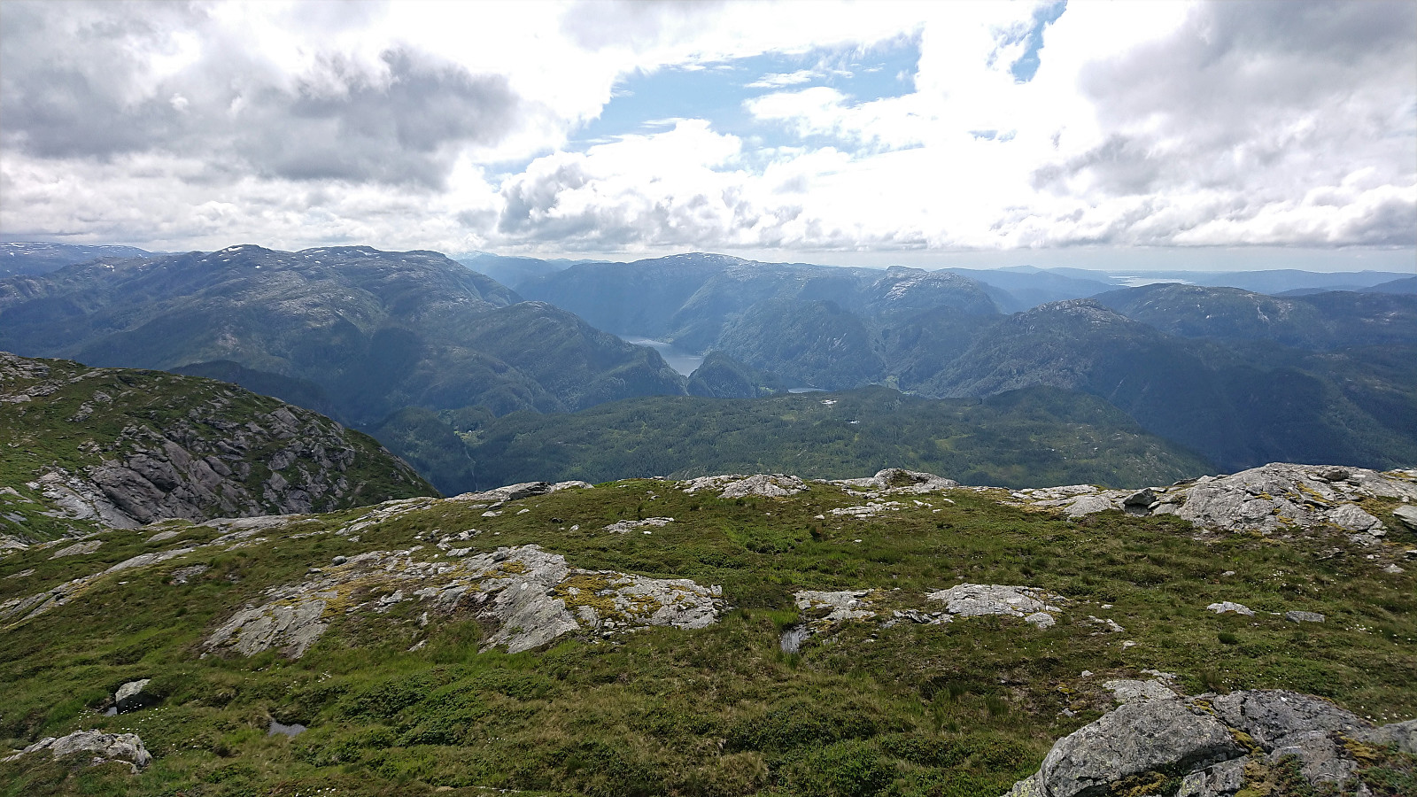
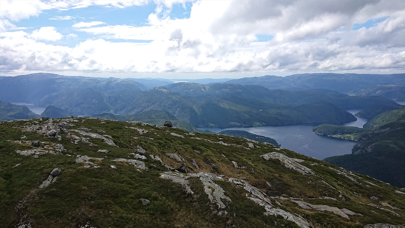
Midtnova provided excellent views across Indre Osterfjorden in particular, but also parts of Veafjorden, and even Nordhordalandsbroen could be spotted in the far distance. One could of course also look back at Gavvatnet, Brattanakken and Storfjelli. From the summit we partly followed the cairns down Midtrinden, before making an off-trail shortcut to the marked trail west of Stølsvatna.
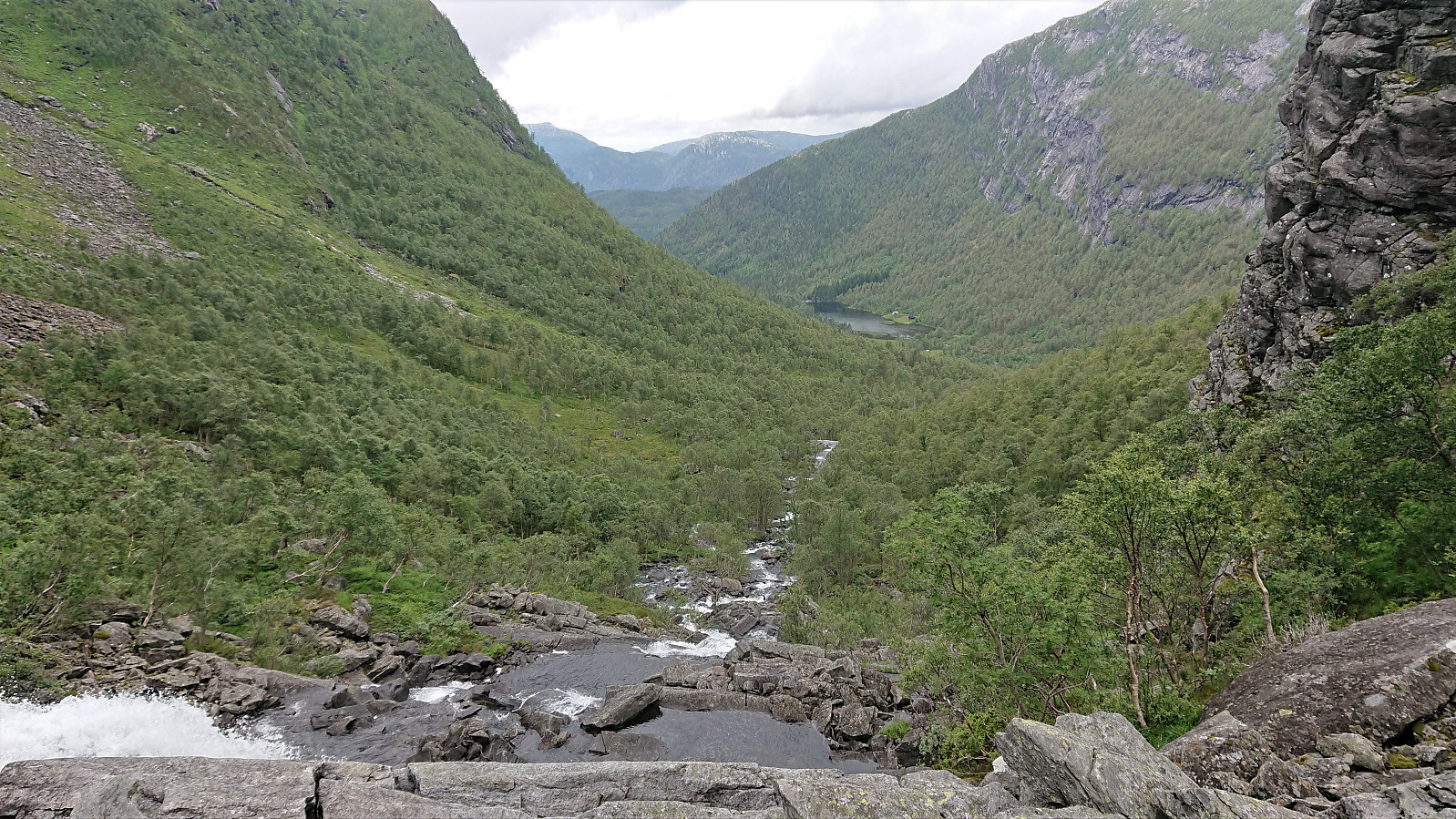
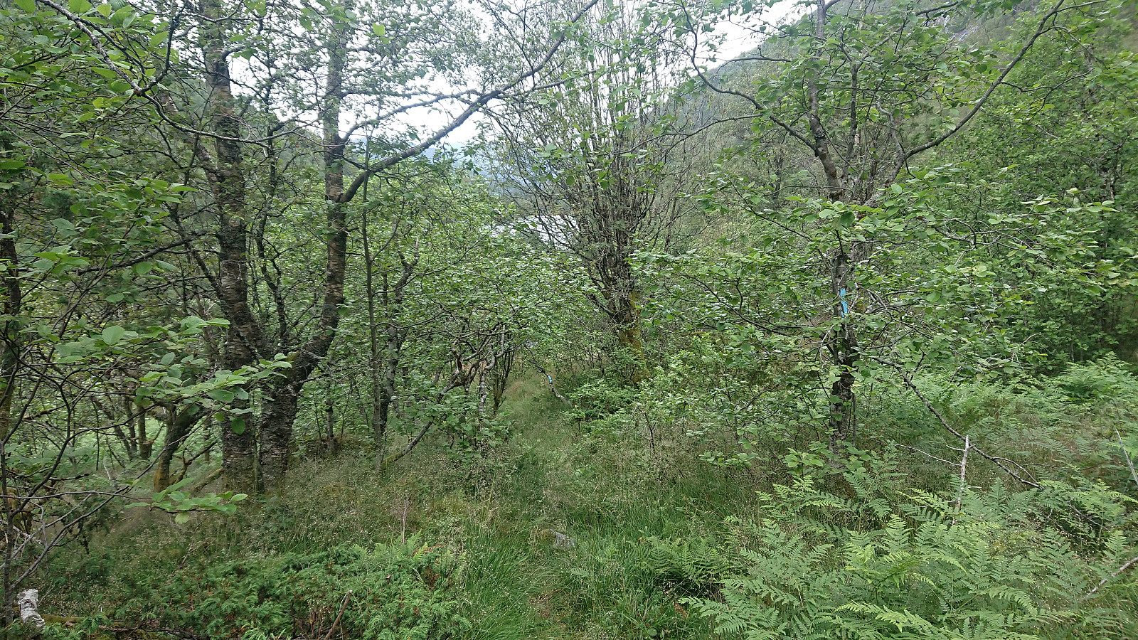
Instead of going all the way back to Gavvatnet, we followed the marked trail down Brattbrekka. The trail had some steep sections at the start, but then transformed into a very nice winding path, before turning relatively weak at the end just above Dalastølen. It was clearly marked the whole way though, and thus still easy to follow. The hike was concluded by following the trail and tractor road back to the parking lot.
In conclusion, an excellent hike with great views that can be highly recommended.

| Startzeitpunkt | 16.07.2020 10:28 (UTC+01:00 SZ) |
| Endzeitpunkt | 16.07.2020 18:13 (UTC+01:00 SZ) |
| Gesamtzeit | 7h 45min |
| Zeit in Bewegung | 6h 09min |
| Pausenzeit | 1h 36min |
| Gesamtschnitt | 2,3km/h |
| Bewegungsschnitt | 2,9km/h |
| Entfernung | 18,1km |
| Höhenmeter | 1.231m |


Benutzerkommentare