
Heihillerhornet, Kjerringafjell and Ottanosi from Holdhus (09.07.2020)

Written by hbar (Harald Barsnes)

| Start point | Holdhus (149m) |
|---|---|
| Endpoint | Holdhus (148m) |
| Characteristic | Hillwalk |
| Duration | 6h 54min |
| Distance | 22.2km |
| Vertical meters | 1,449m |
| GPS |
|
| Ascents | Heihillerhornet (558m) | 09.07.2020 |
|---|---|---|
| Kjerringafjell (938m) | 09.07.2020 | |
| Ottanosi (976m) | 09.07.2020 | |
| Visits of other PBEs | Bygdastølen P-plass (340m) | 09.07.2020 |
| Nordfjella bomveg i Fusa (110m) | 09.07.2020 |
Heihillerhornet, Kjerringafjell and Ottanosi from Holdhus
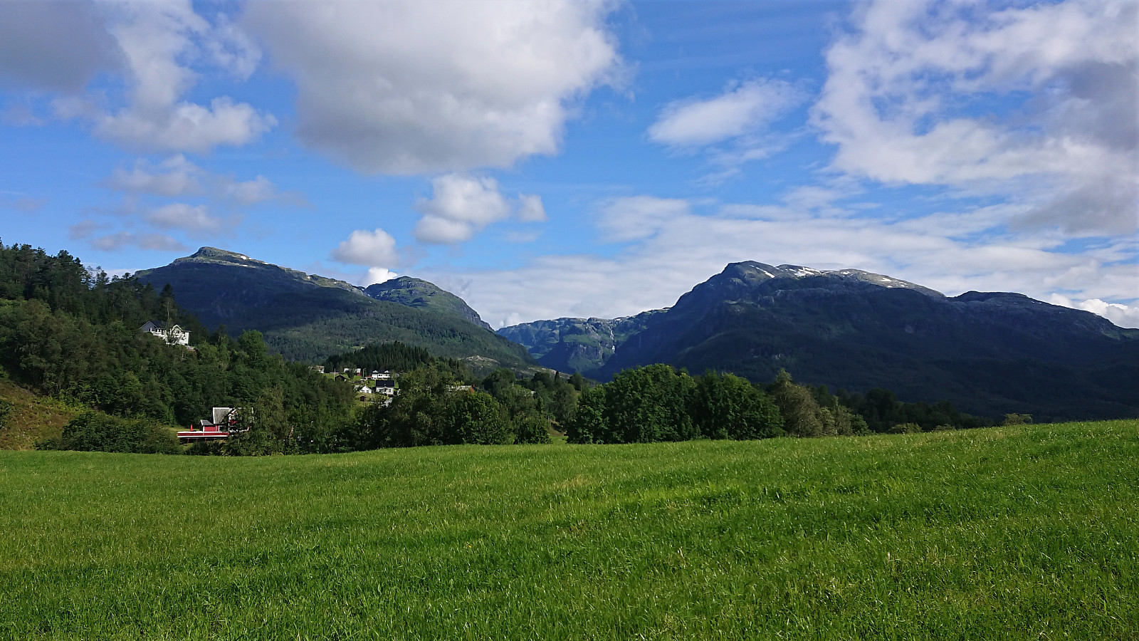
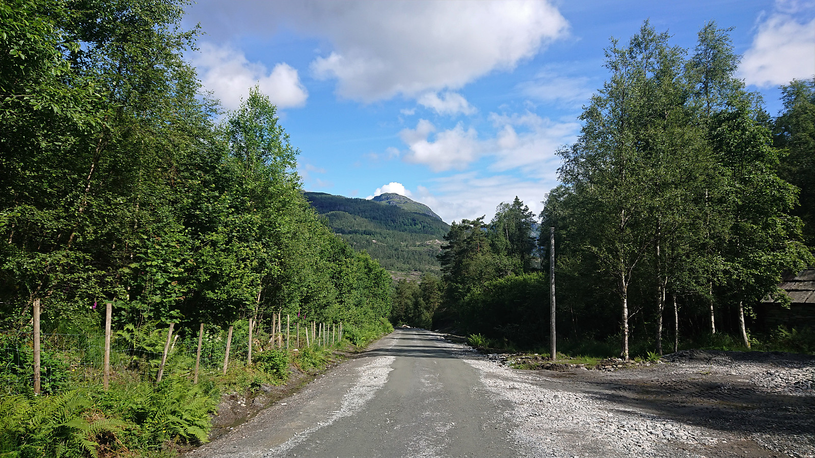
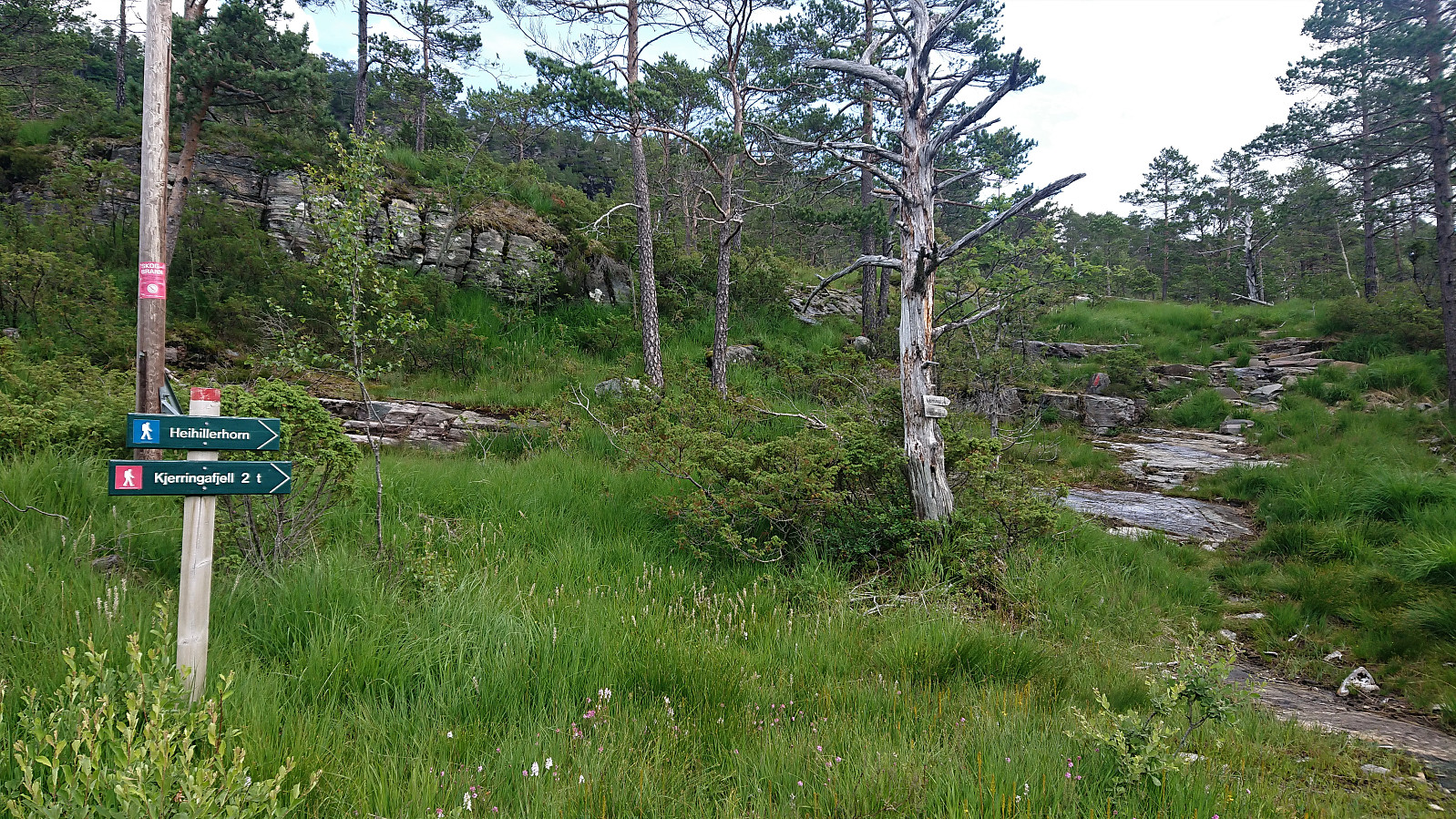
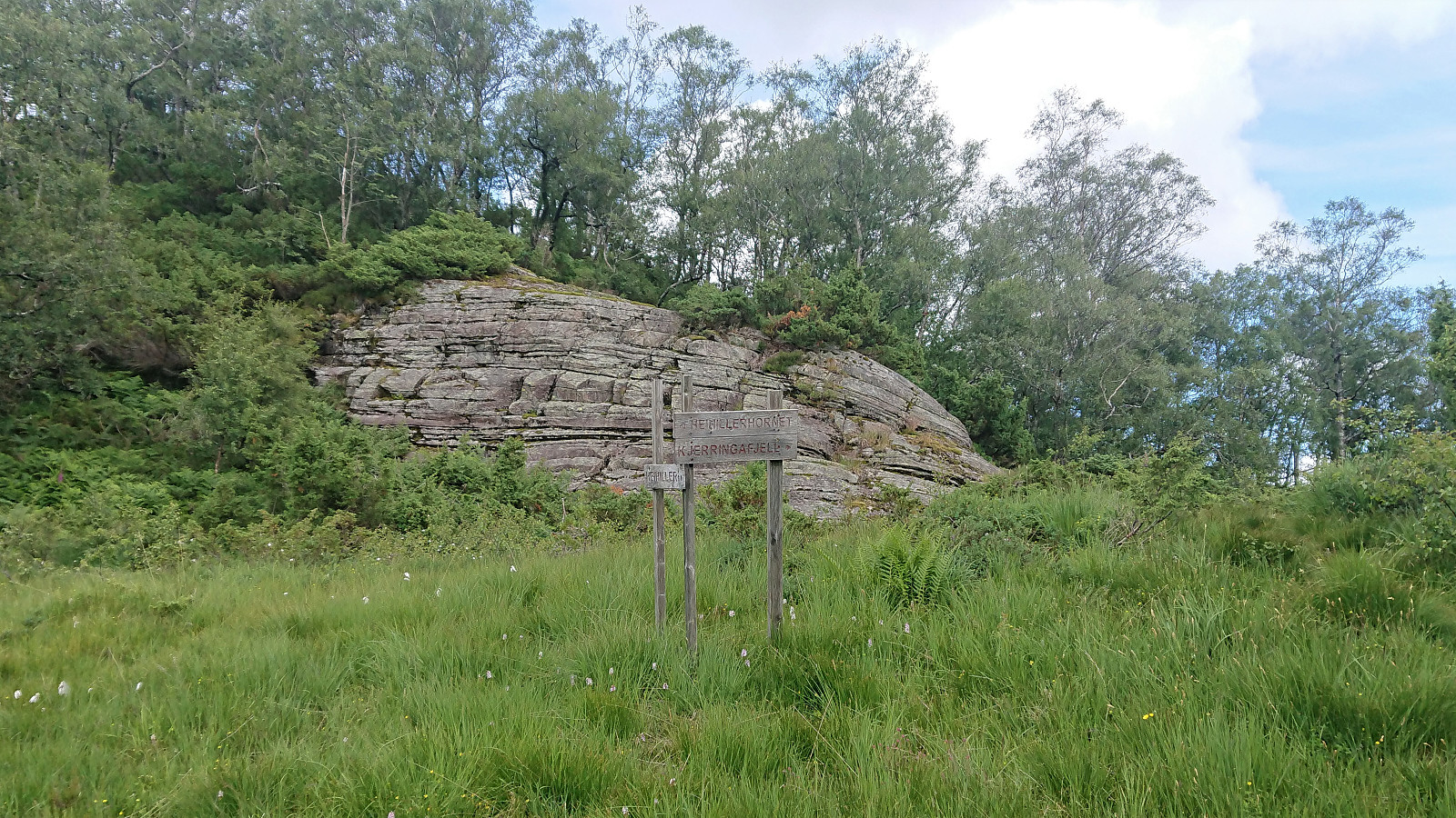
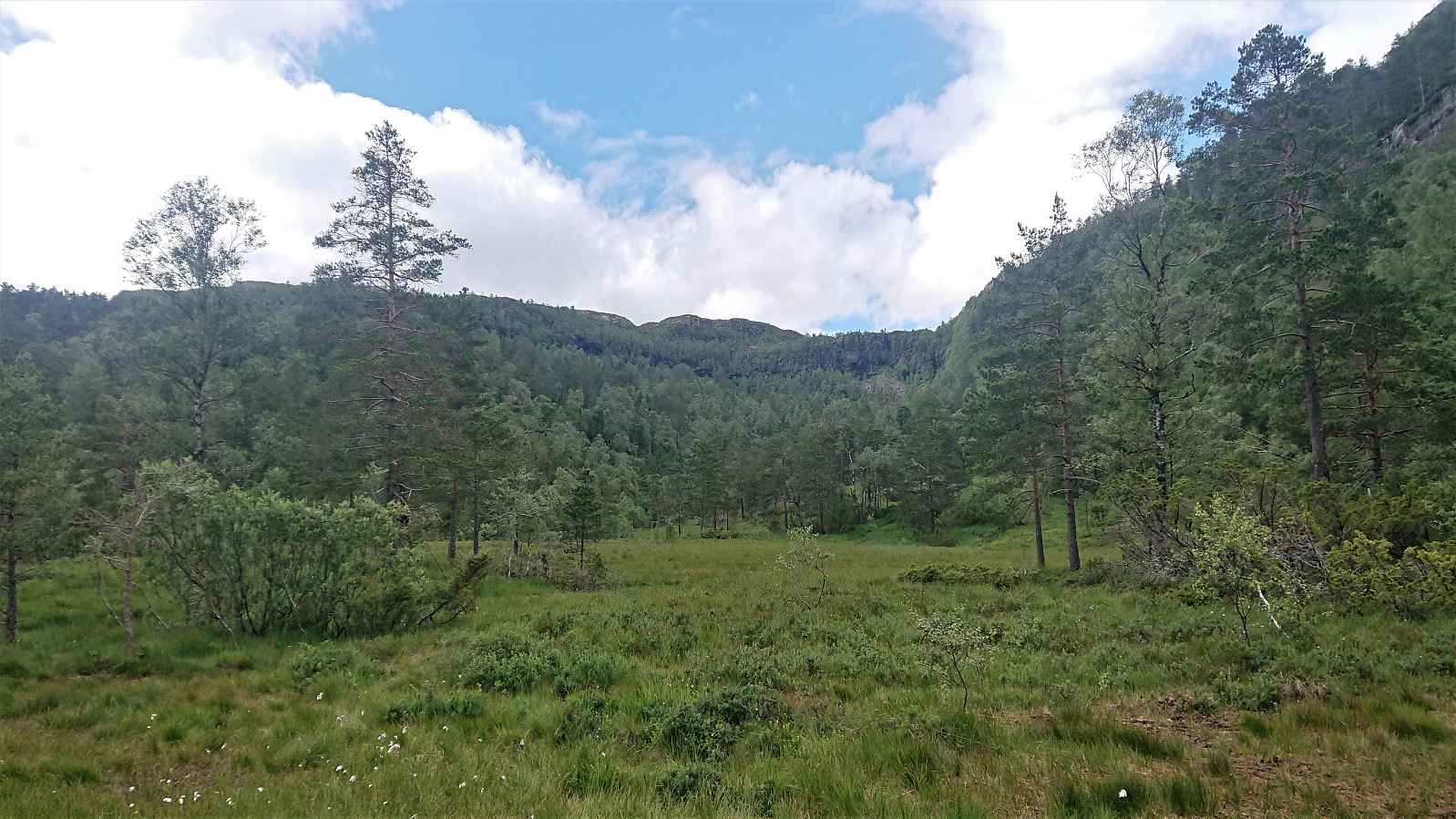
Started by taking the bus to Holdhus and from there following the roads to Solvang. Here I left the road and instead followed an unmarked trail shortcut up towards Heihiller. After reconnecting with the road it was not long before I came across a marked trailhead for both Heihillerhornet and Kjerringafjell.
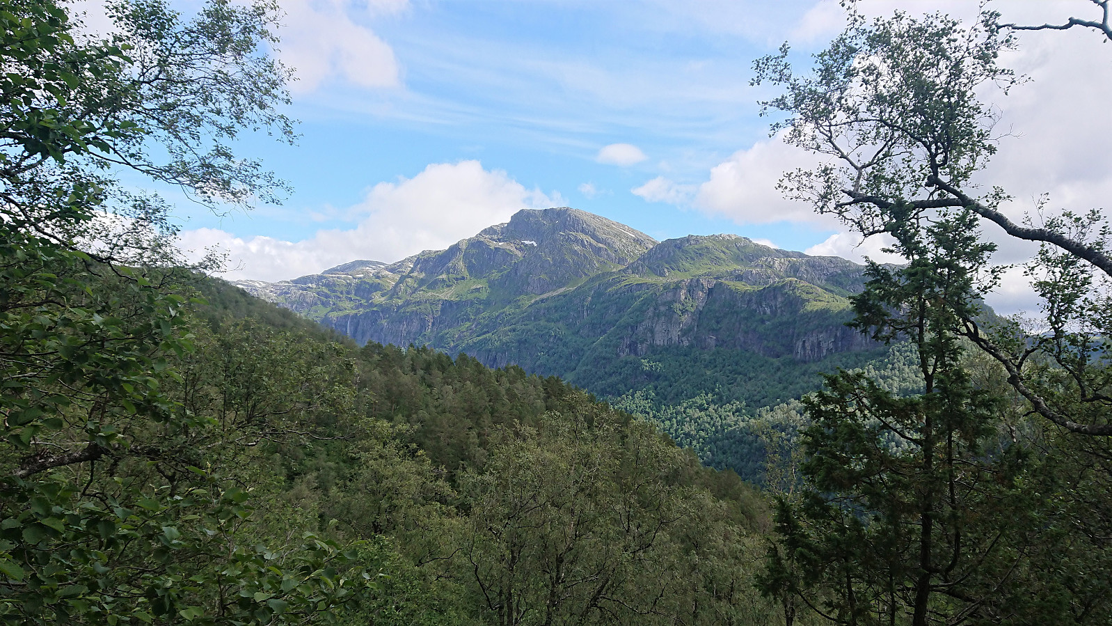
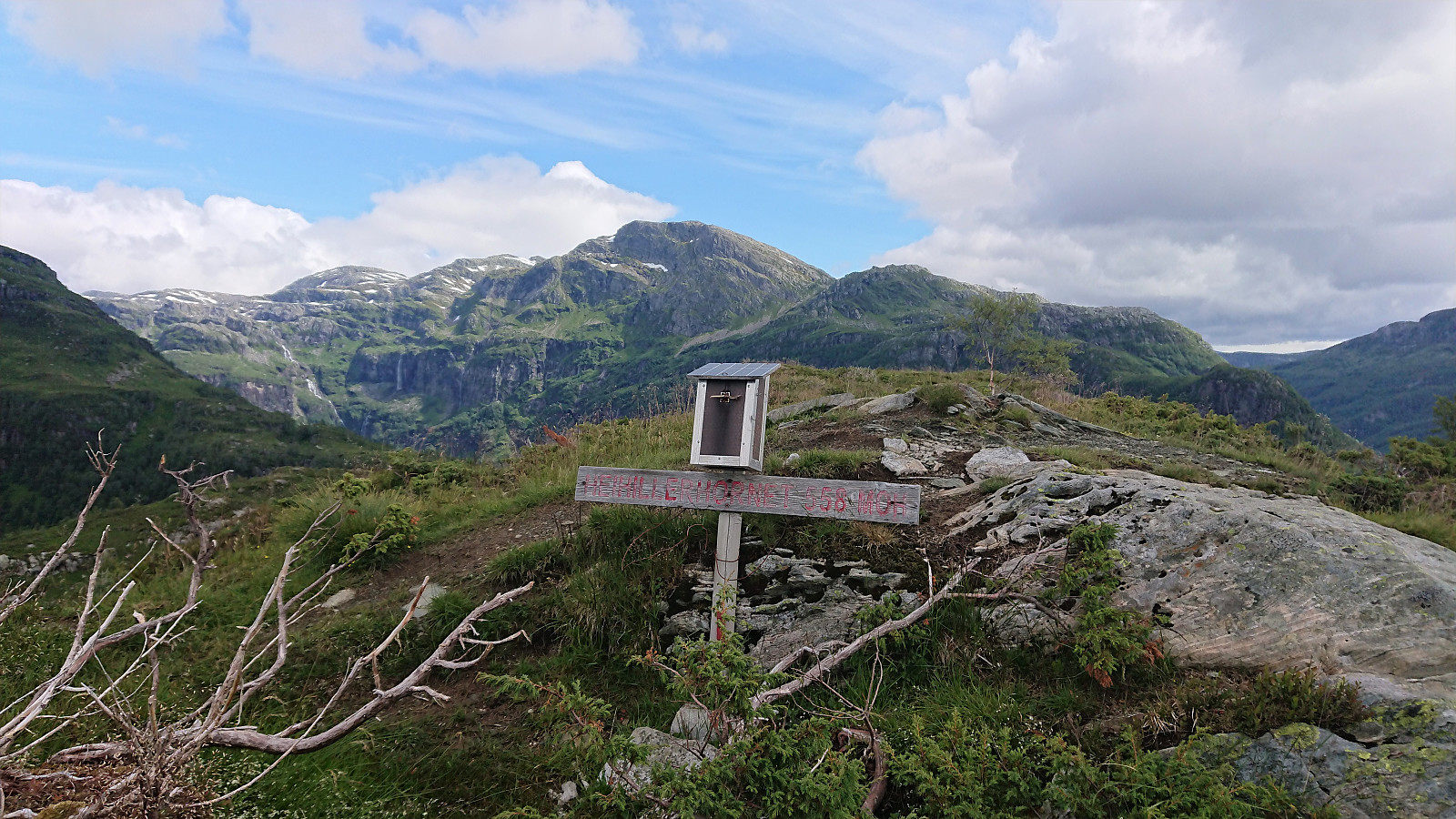
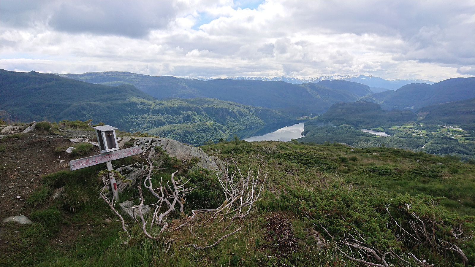
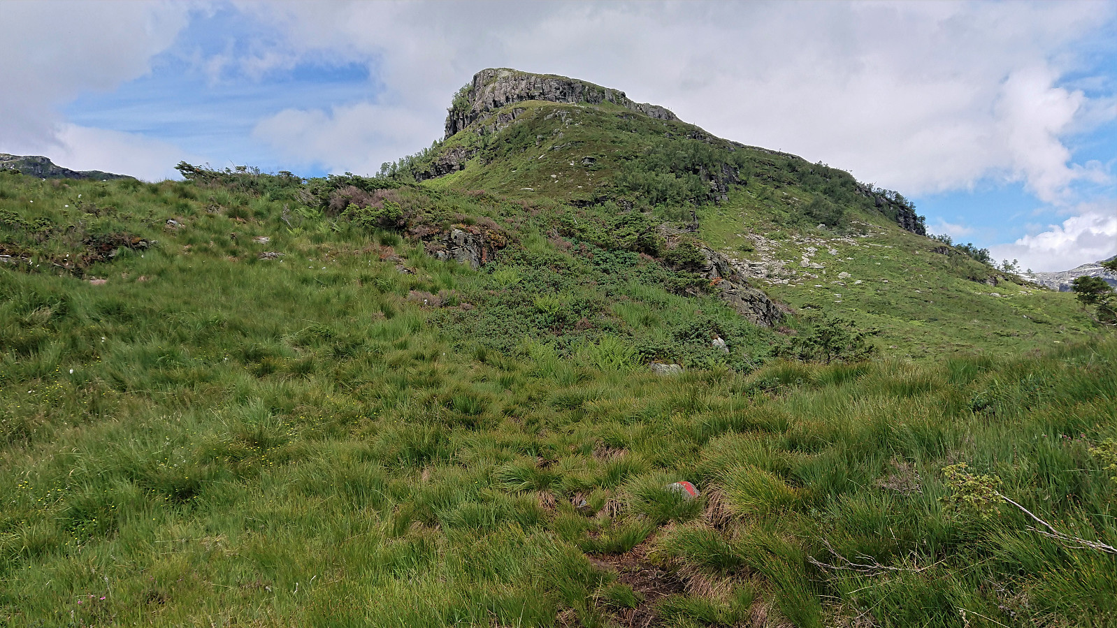
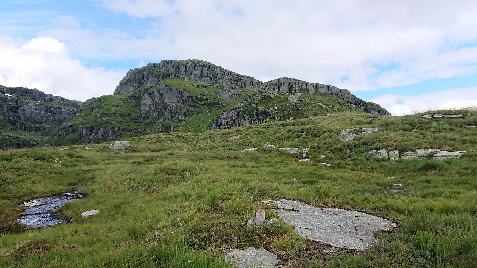
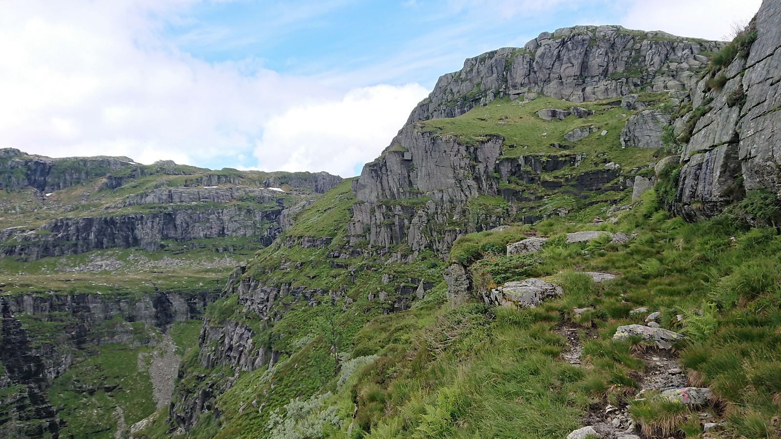
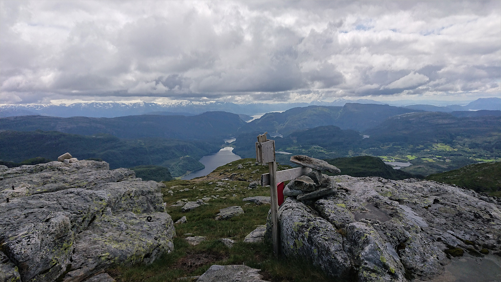
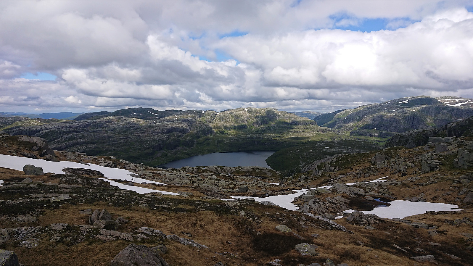
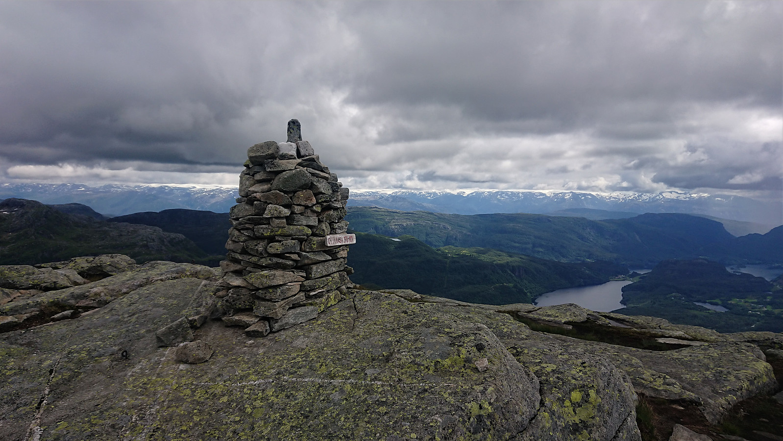
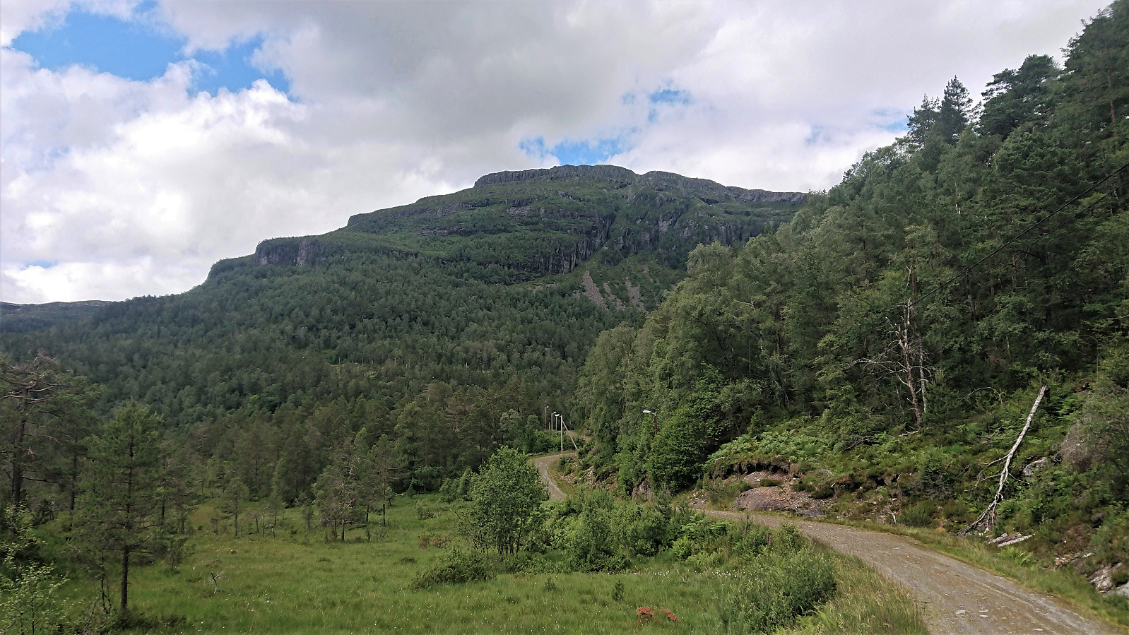
The trail started by heading in the wrong direction though, and descending(!), but I assumed it has its reasons and sure within a couple of hundred meters it started ascending in a more reasonable direction. Just south of the summit of Heihillerhornet the trail forked, with signs left (west) for Heihillerhornet and right (east/north) for Kjerringafjell. I of course opted for the former, and soon arrived at the summit, following a nice trail all the way. The summit provided great views and a good overview of the rest of the planned hike.
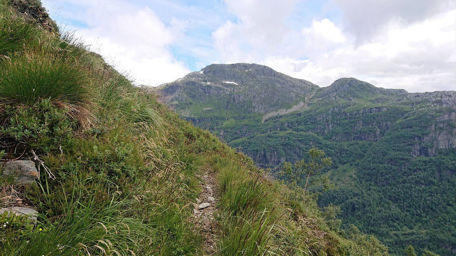
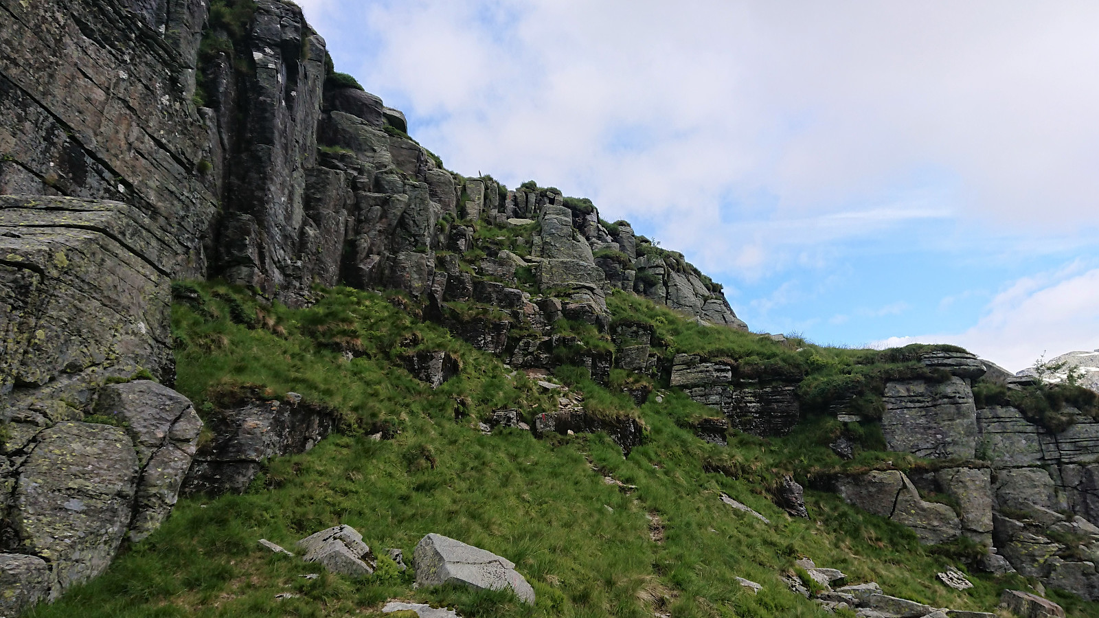
From the summit of Heihillerhornet I followed a weak trail northeast, but lost it somewhere when crossing a wet area. I therefore made may own way north, where I came across a marked trail heading in the same direction. However, when the trail started descending towards Aksladalen/Bygdastølen, I left it (assuming it would continue descending) and instead headed southeast where I found an animal track taking me up on the ridge towards Kjerringafjell.
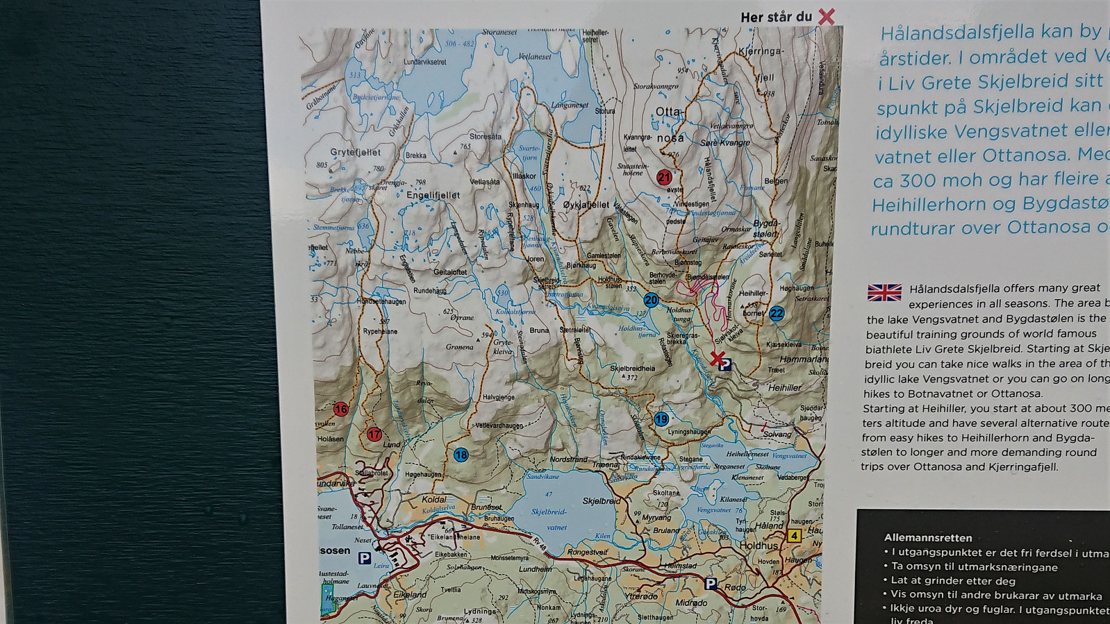
Within not too long the marked trail reappeared, making it obvious that I my detour south had not really been needed, i.e. I could simply have stayed on the trail. (This was confirmed by a map I came across at the parking lot later on. See the final picture.) In any case, I was very happy to be on a marked trail as this greatly simplified the ascent to Kjerringafjell. There were still a couple of short sections requiring some light climbing, but this basic route would probably have been much harder to locate without the marked trail.
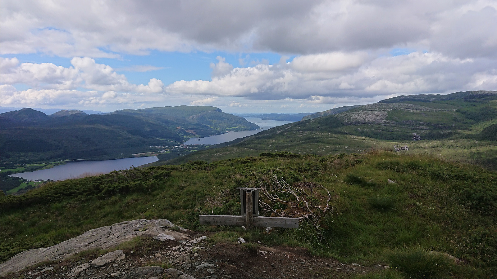
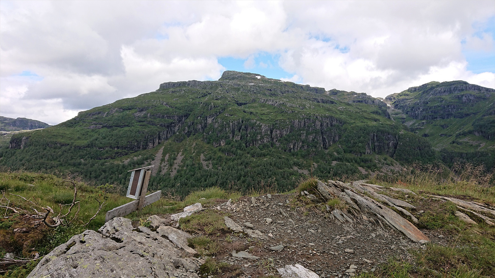
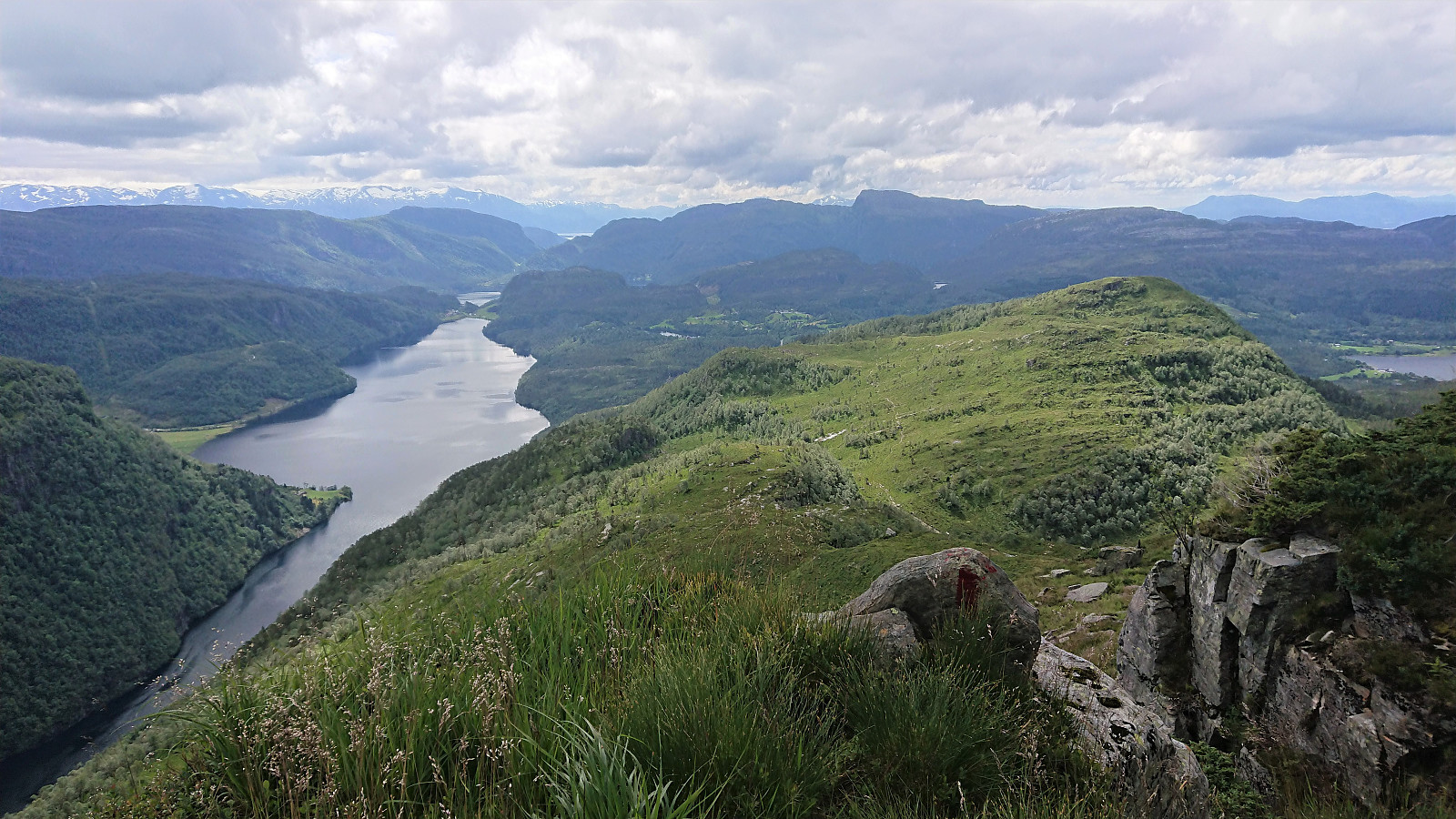
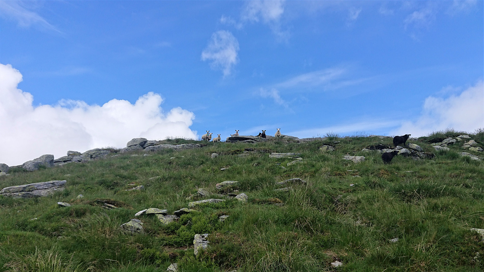
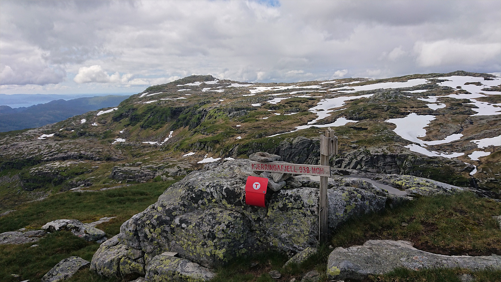
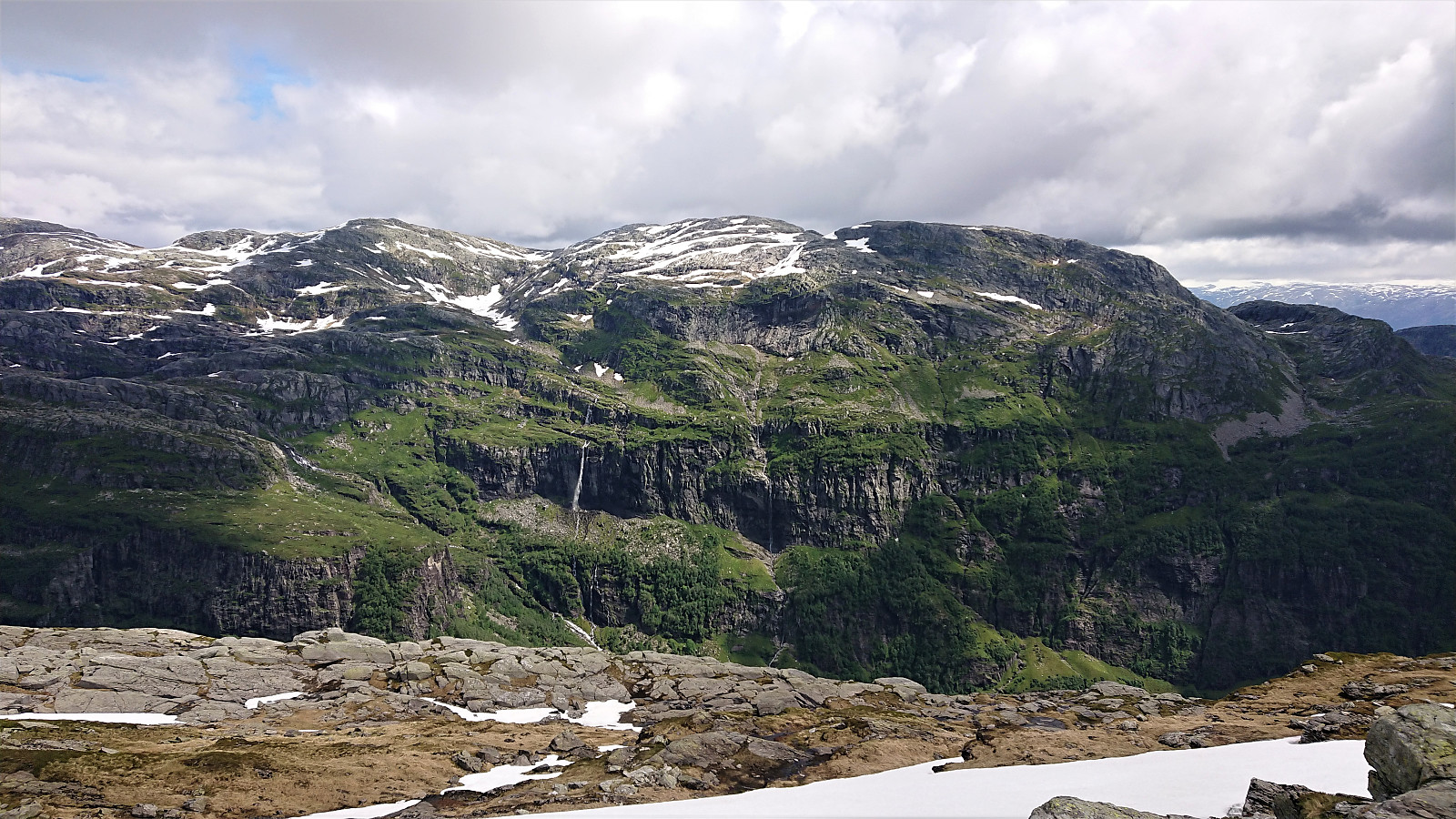
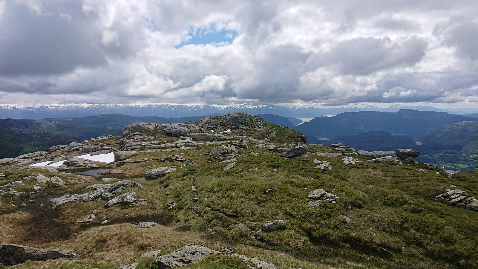
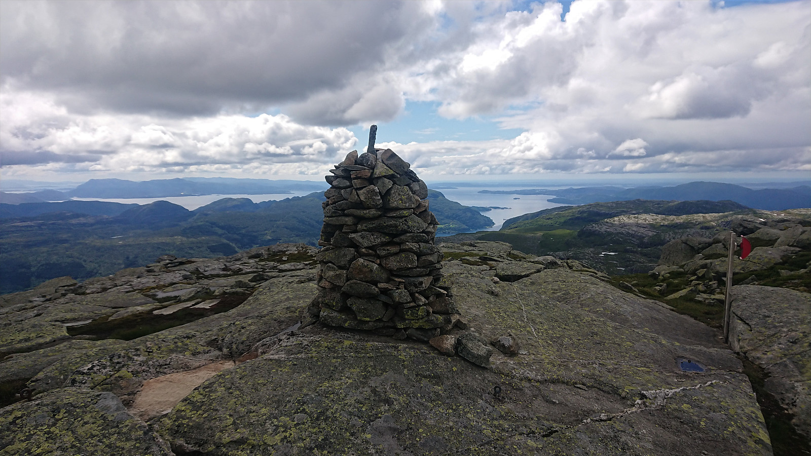
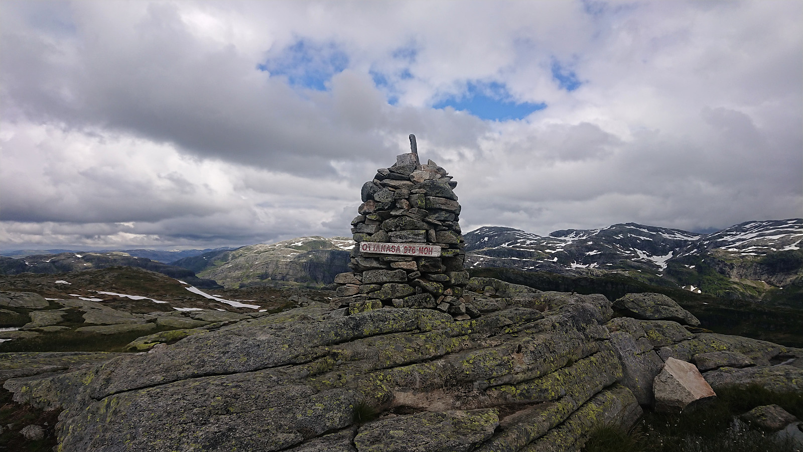
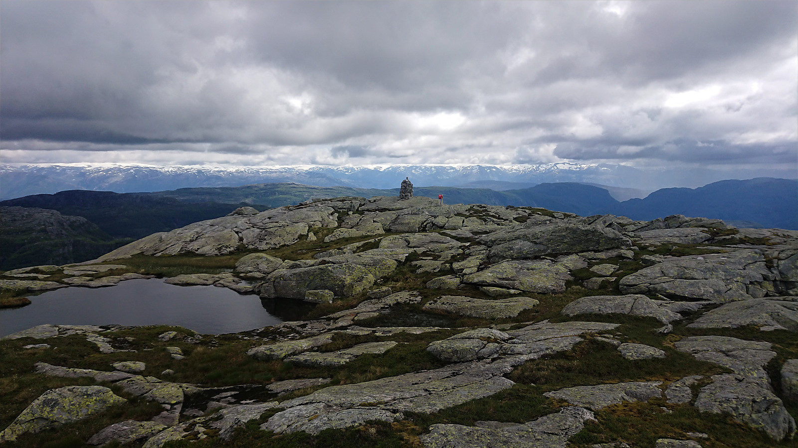
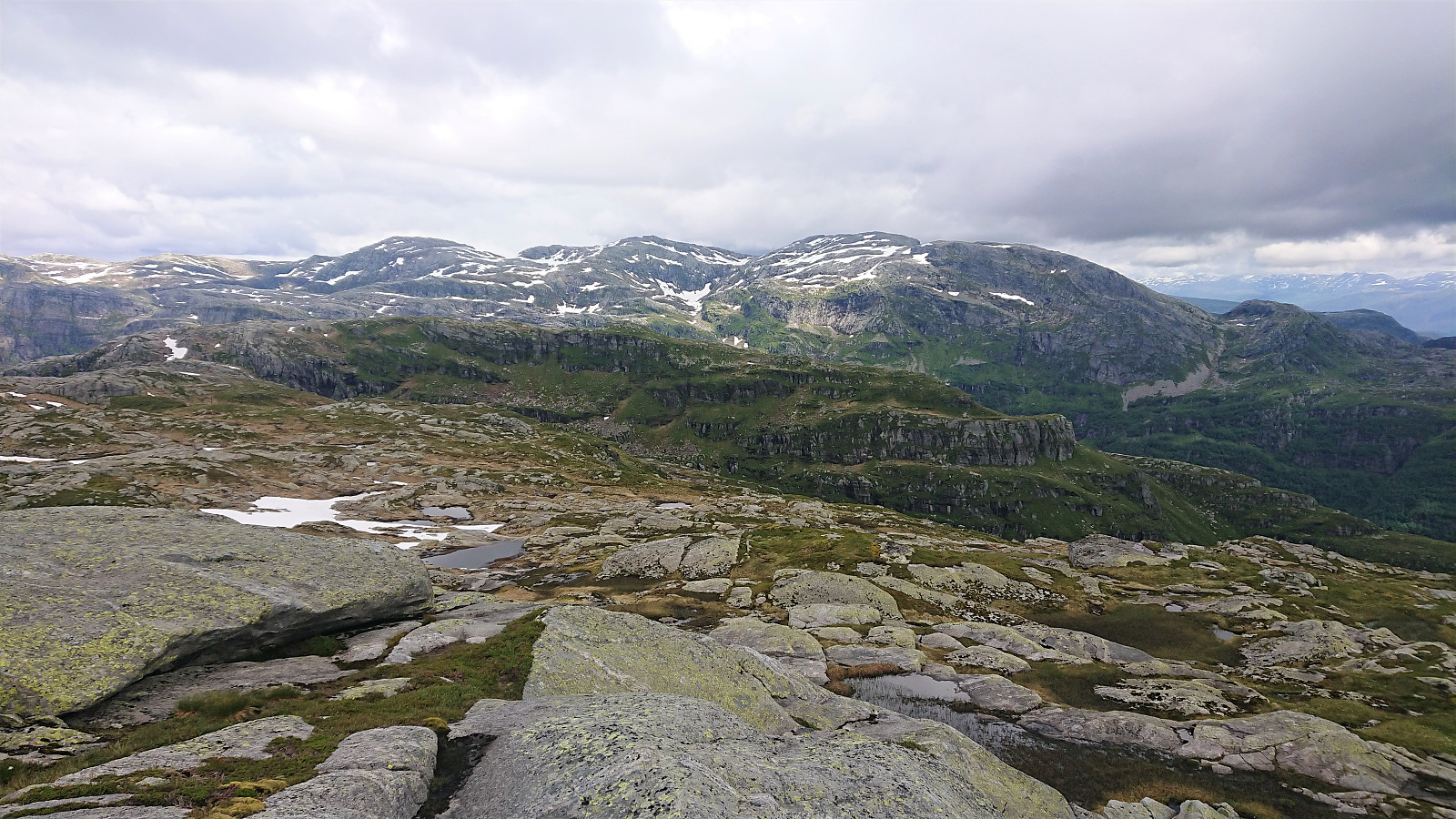
The summit of Kjerringafjell was therefore reached without any difficulties, and I was welcomed by a flock of curious sheep. Great views from the summit and a nice location for a short lunch break, after which I continued, still on a marked trail, to Ottanosi. On the way I met the first two other hikers of the day, doing the same hike as me but in the opposite direction. Ottanosi provided excellent views, only slightly reduced due to the rain clouds coming in from the southeast.
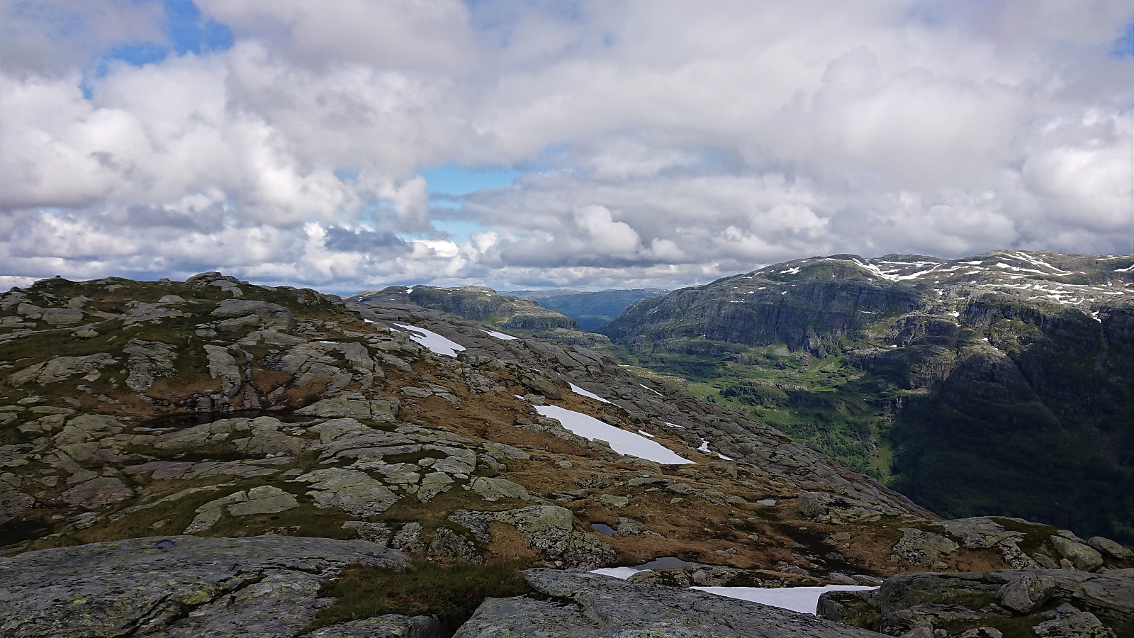
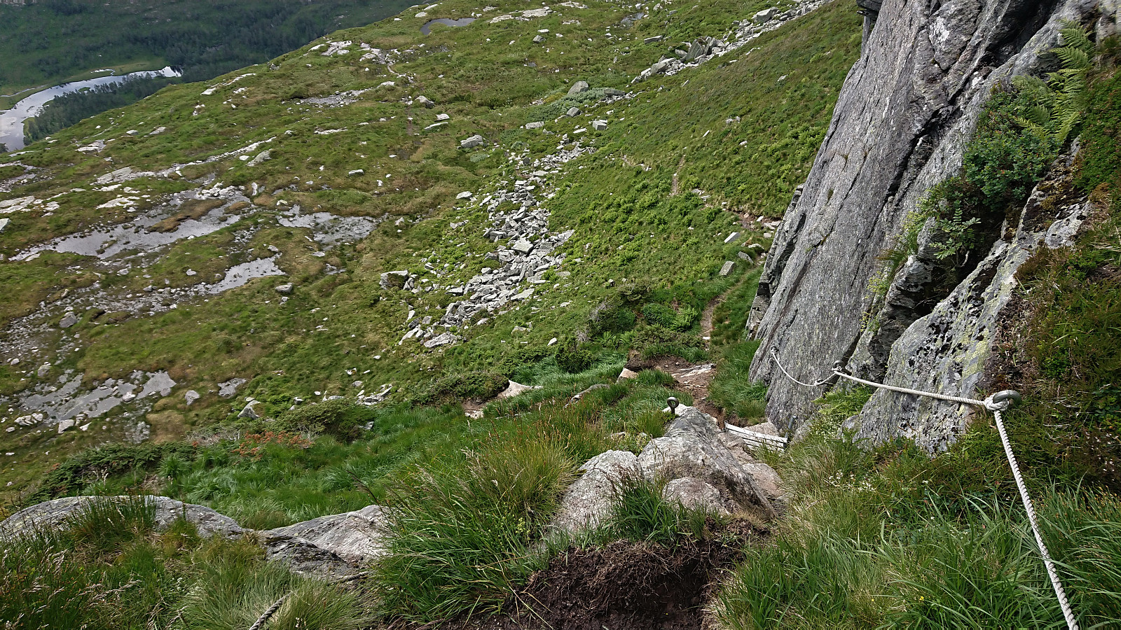
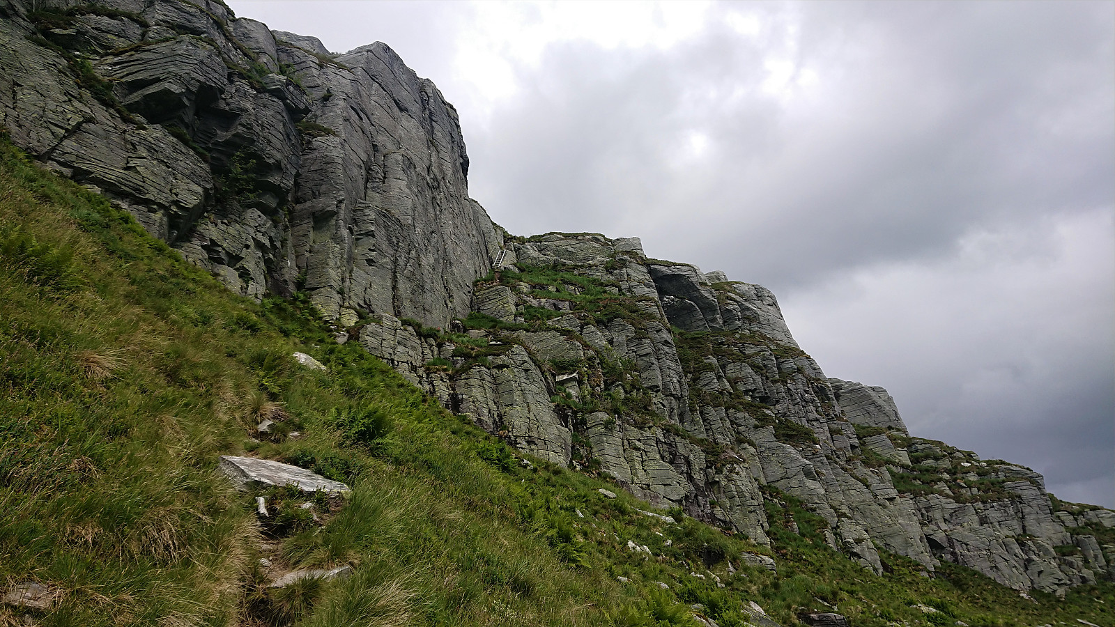
After a second short lunch break I started my descent, which turned out to be steep but with only one section requiring some light climbing, simplified by both a rope and a ladder. I therefore quickly arrived at the roads indicating the winter skiing track, which I crossed a couple of times before arriving at the Ottanosi trailhead.
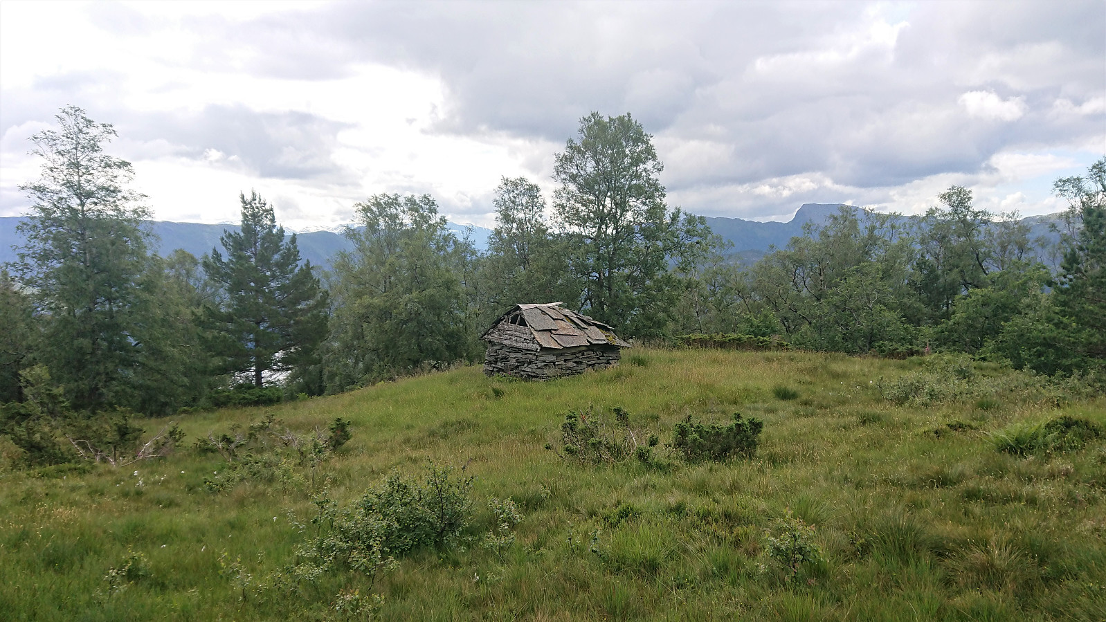
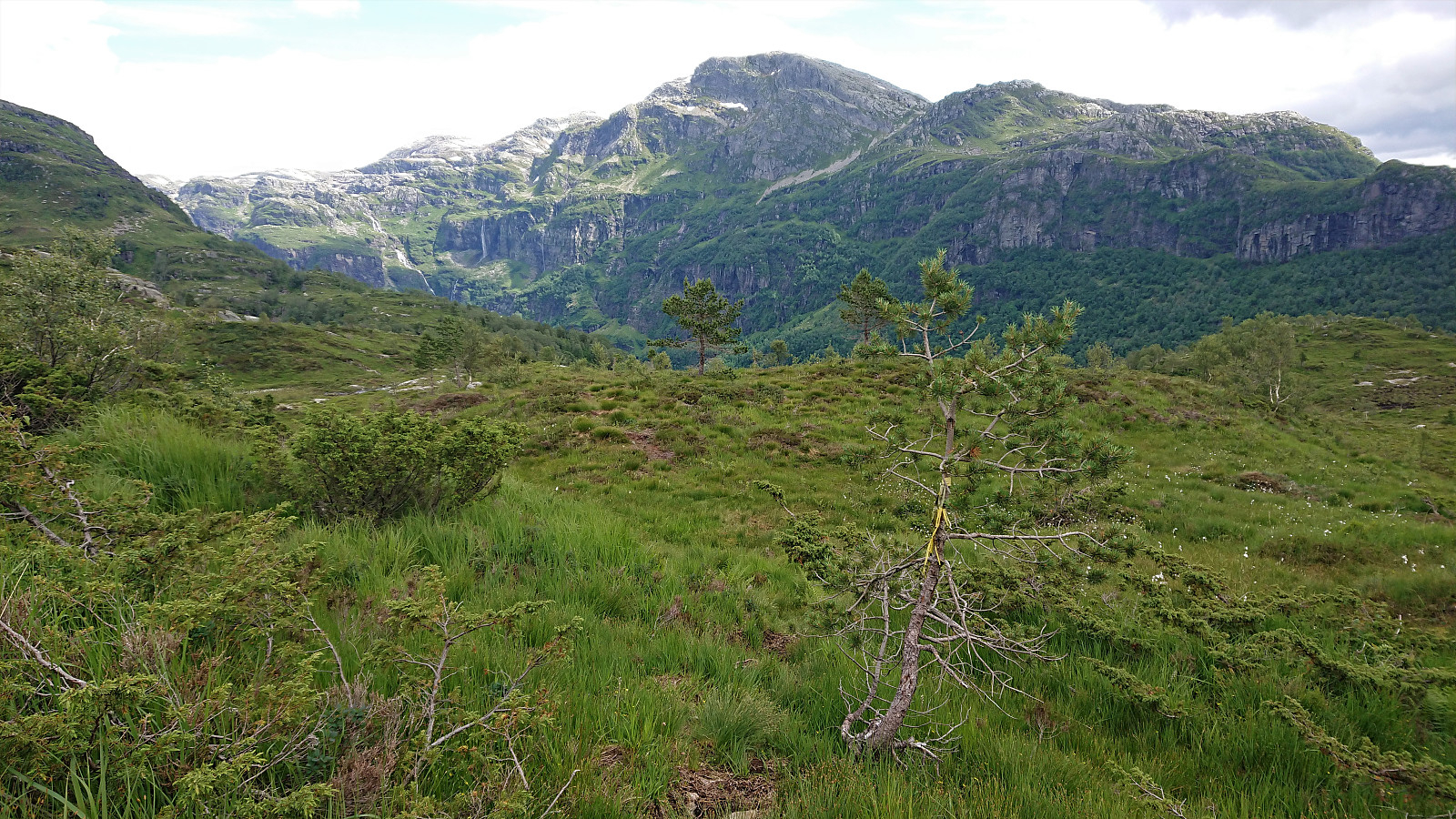
I still had plenty of time to kill before the planned, and final, bus back to Bergen though, so I decided to make a short detour to Holdhusstølen for a look up at Øykjafjellet, first on a tractor road and later on a trail. I did not have the time to go all the way up to Øykjafjellet, but at least I could add the picture that was missing for the Økjafjellet PB-element.
Upon arriving at the surprisingly large Bygdastølen car park, I noticed the map that would have been very handy to have for my ascent from Heihillerhornet to Kjerringafjell, as it basically confirmed that I could have stayed on the marked trail I came across northeast of Heihillerhornet (and not leave it when it started to descend), see the last picture below. That way it would have been possible to stay on a marked trail for almost all of the hike. The only potential exception being the weak disappearing trail down from Heihillerhornet.
For my return to the main road at Holdhus, I decided to this time follow the road instead of the trail. If only for a change of scenery. This turned out to be a mistake, as it was almost three times as long as the trail and significantly more boring. In the end I did arrive back at Solvang though, from which I followed the roads back to the starting point of the hike.
Overall, an excellent hike that can be very highly recommended. And if following the tip above about the trail from Heihillerhornet towards Kjerringafjell, it should be possible to follow a marked trail for (almost) the entire hike.

| Start date | 09.07.2020 10:25 (UTC+01:00 DST) |
| End date | 09.07.2020 17:20 (UTC+01:00 DST) |
| Total Time | 6h 54min |
| Moving Time | 6h 07min |
| Stopped Time | 0h 46min |
| Overall Average | 3.2km/h |
| Moving Average | 3.6km/h |
| Distance | 22.2km |
| Vertical meters | 1,448m |


User comments