
Roundtrip: Frøland to Austre Stemmefjellsnakken (and more) (04.07.2020)

Geschrieben von hbar (Harald Barsnes)

| Startpunkt | Frøland kryss (45m) |
|---|---|
| Endpunkt | Frøland kryss (44m) |
| Tourcharakter | Bergtour |
| Tourlänge | 9h 11min |
| Entfernung | 28,0km |
| Höhenmeter | 1.801m |
| GPS |
|
| Besteigungen | Austre Stemmefjellsnakken (853m) | 04.07.2020 |
|---|---|---|
| Burlifjellet (854m) | 04.07.2020 | |
| Fossabotsnakkane (818m) | 04.07.2020 | |
| Skorafjellet (821m) | 04.07.2020 | |
| Solafjellet (920m) | 04.07.2020 | |
| Trælen (949m) | 04.07.2020 | |
| Ullandsfjellet (698m) | 04.07.2020 | |
| Besuche anderer PBE | Holmane parkering (300m) | 04.07.2020 |
| Holmane parkering II (269m) | 04.07.2020 |
Roundtrip: Frøland to Austre Stemmefjellsnakken (and more)
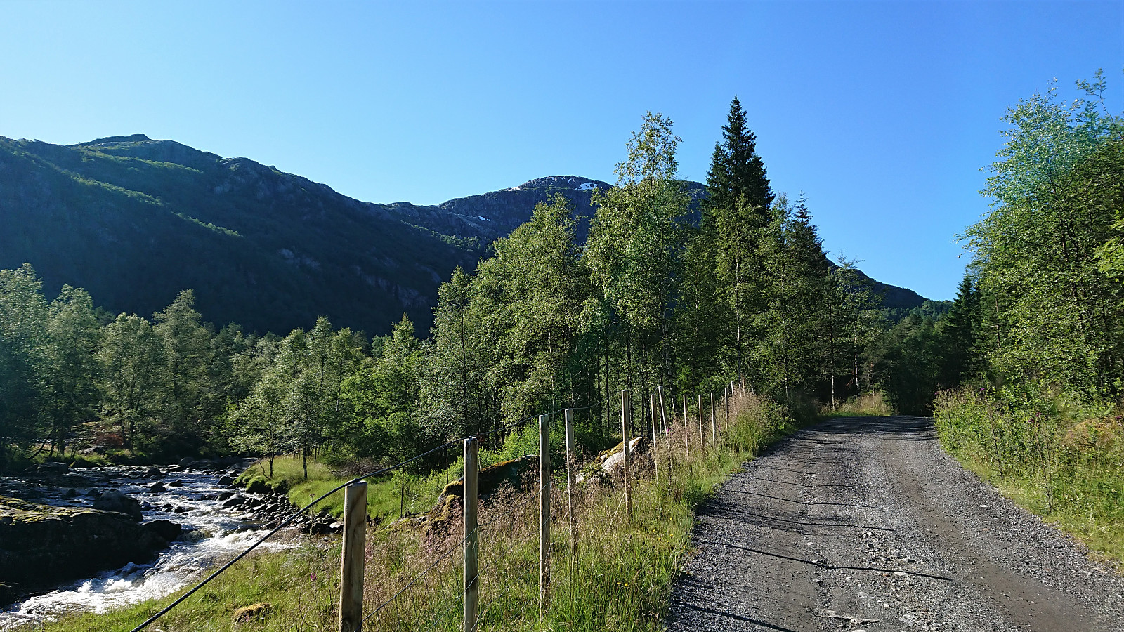
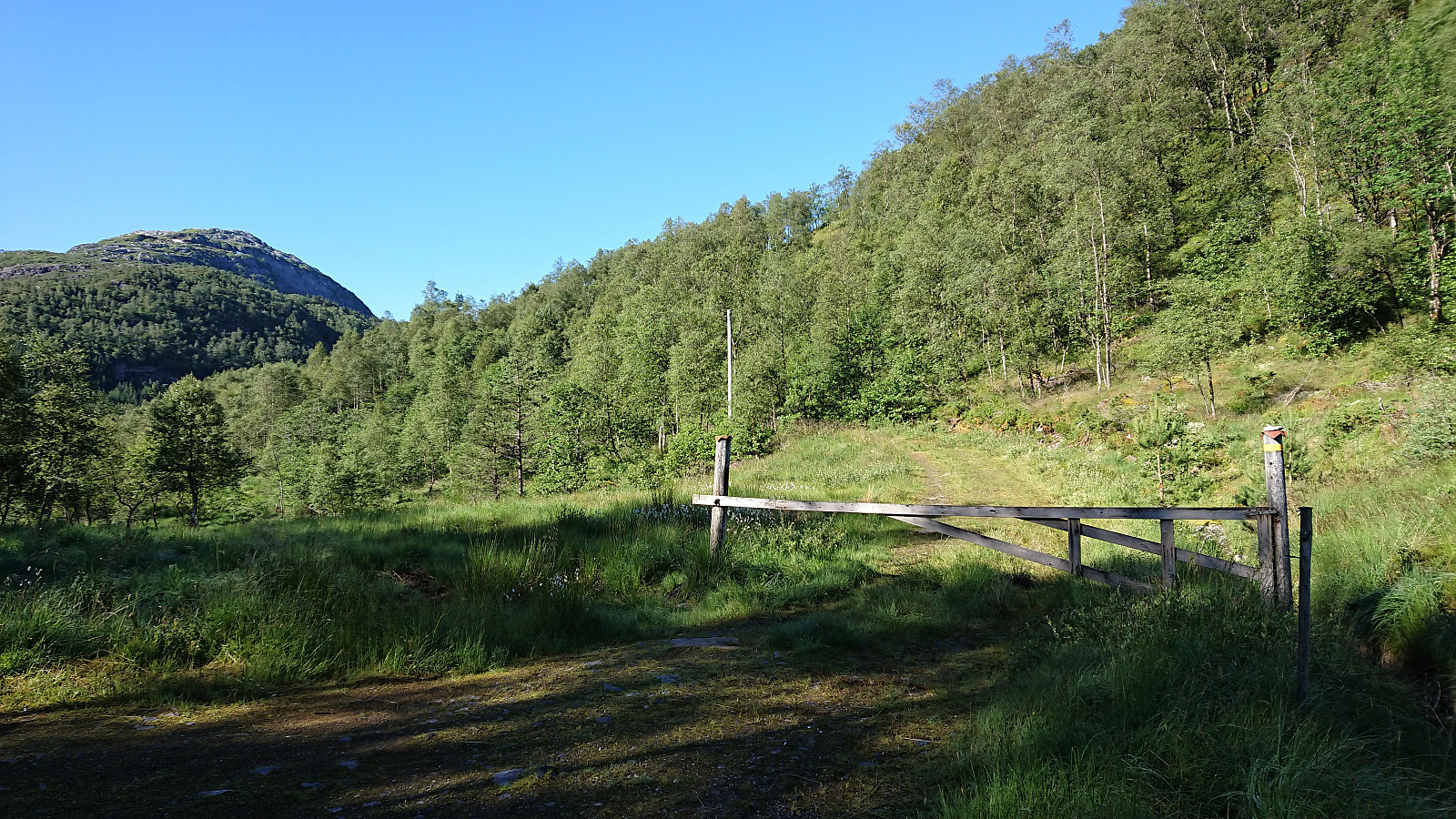
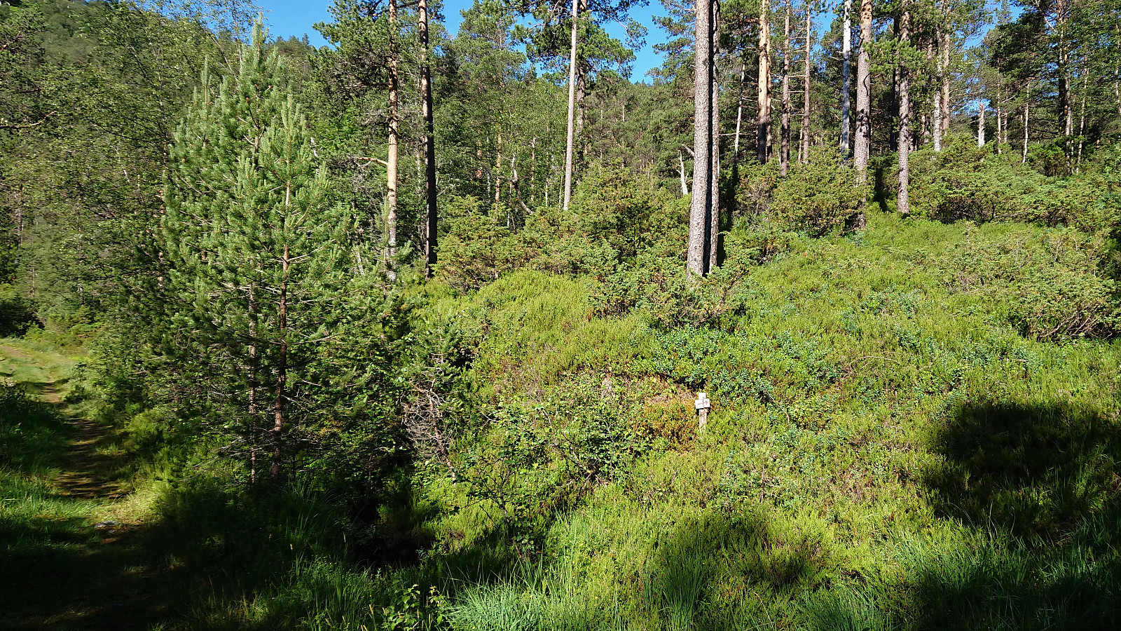


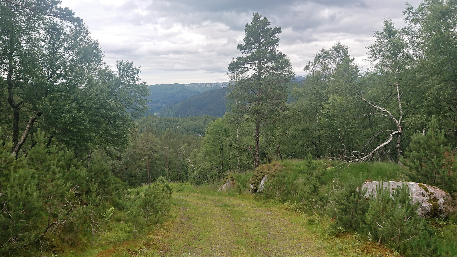
I started by taking the bus to Frøland and from there walking up the road to Holmane parkering, from where I followed the tractor road (north and then) south. My plan had been to follow the tractor road until it ended, but when coming across a red arrow on the west side of the road just before the road was about to end, I took a chance that perhaps this would provide a trail that could take me to Burlifjellet and left the road behind.
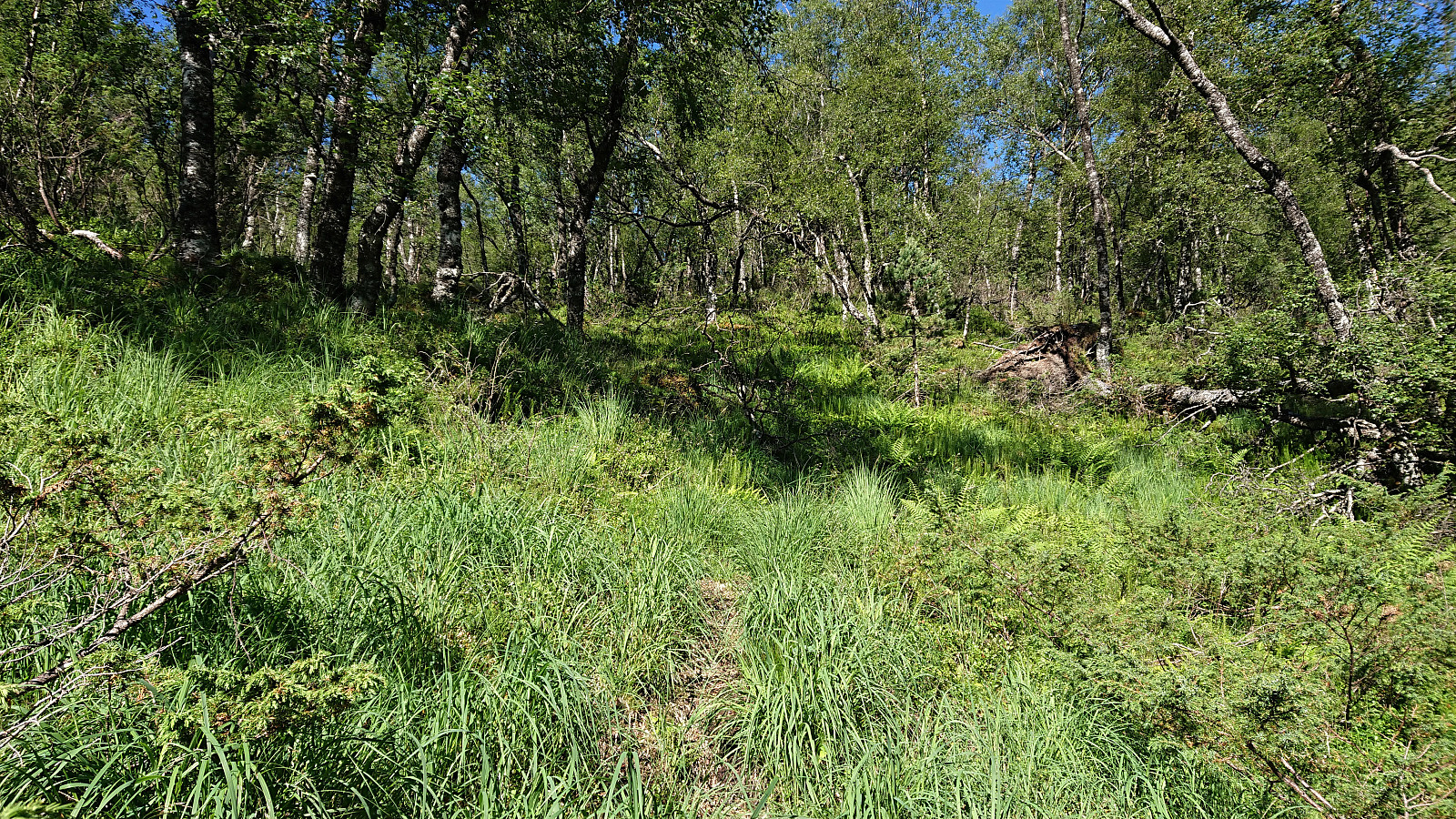
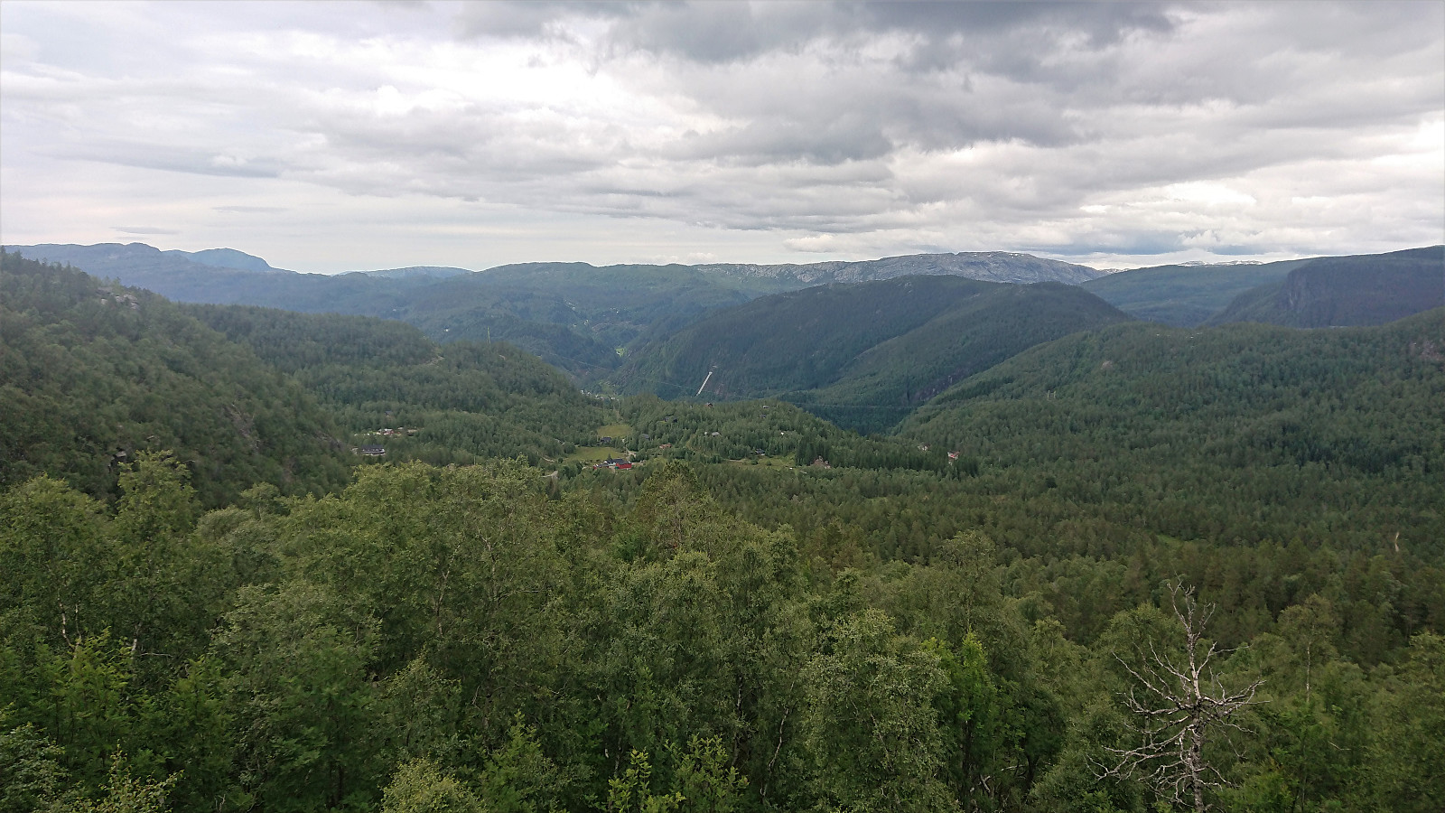
The weakness of the trail should have been a hint though, and the trail soon disappeared completely. And although it seemed to reappear from time to time, I'm guessing these were just animal tracks. I therefore gave up on the trail and instead started to make my own way in the direction of Burlifjellet, deciding to include a visit of Ullandsfjellet on the way. Ullandsfjellet was reached without any real challenges and provided very nice views.
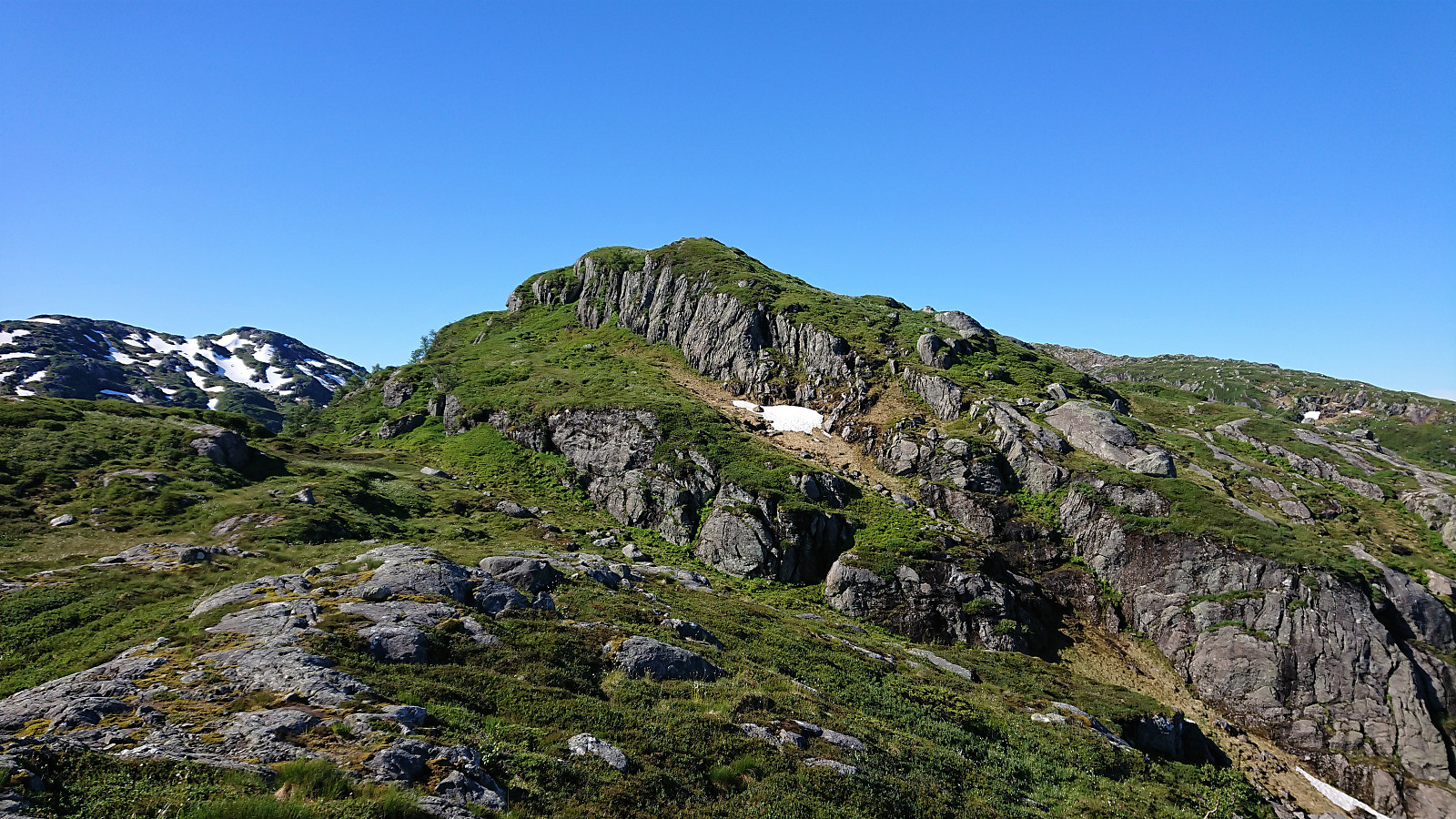
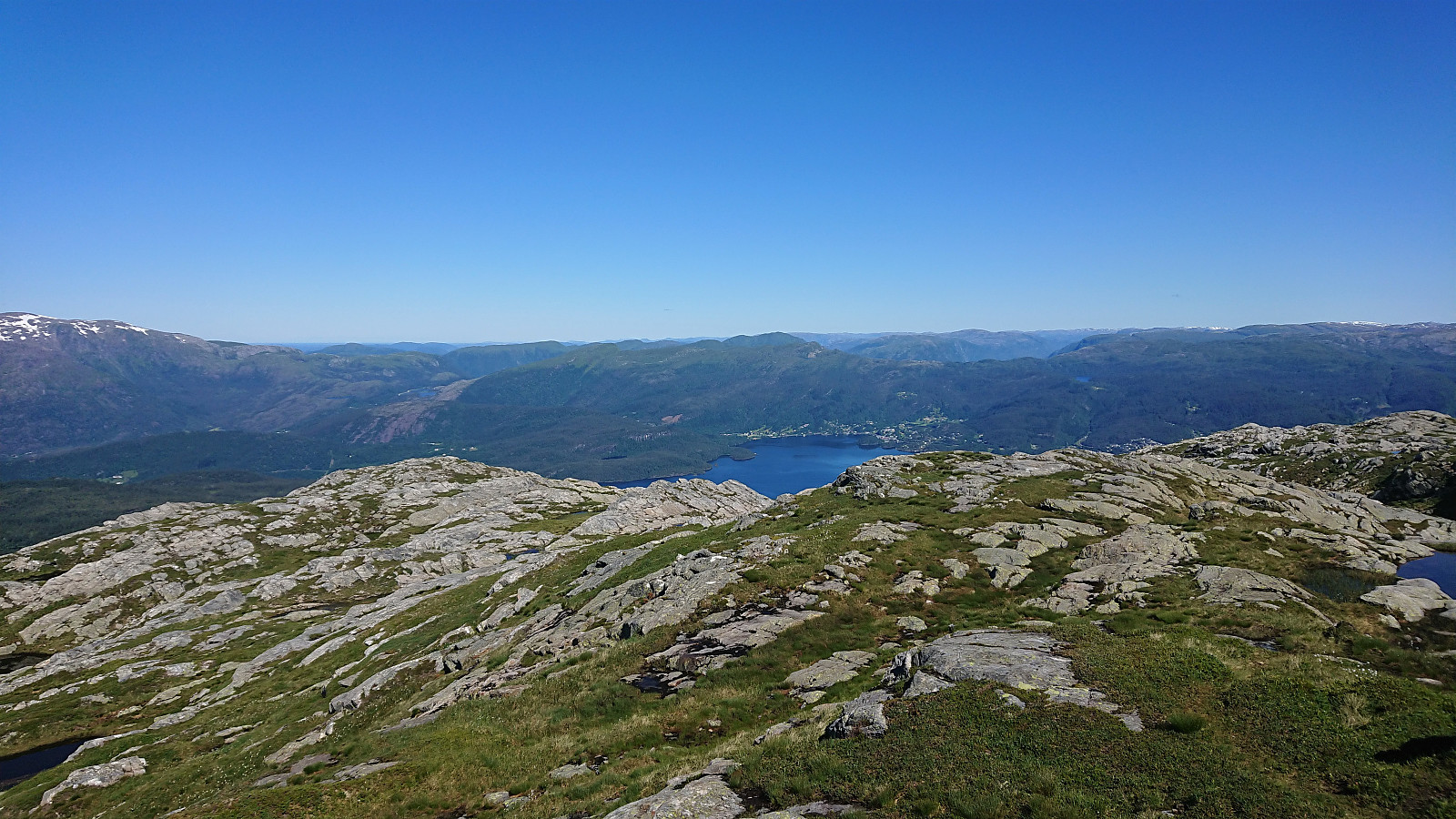
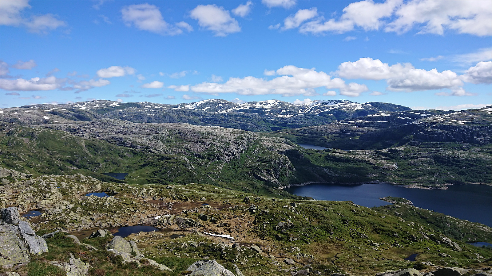
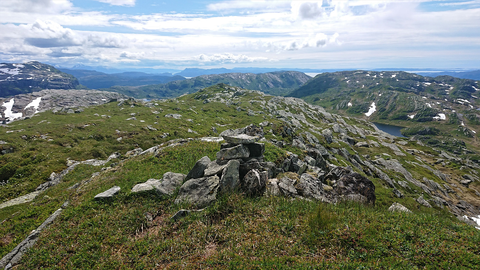
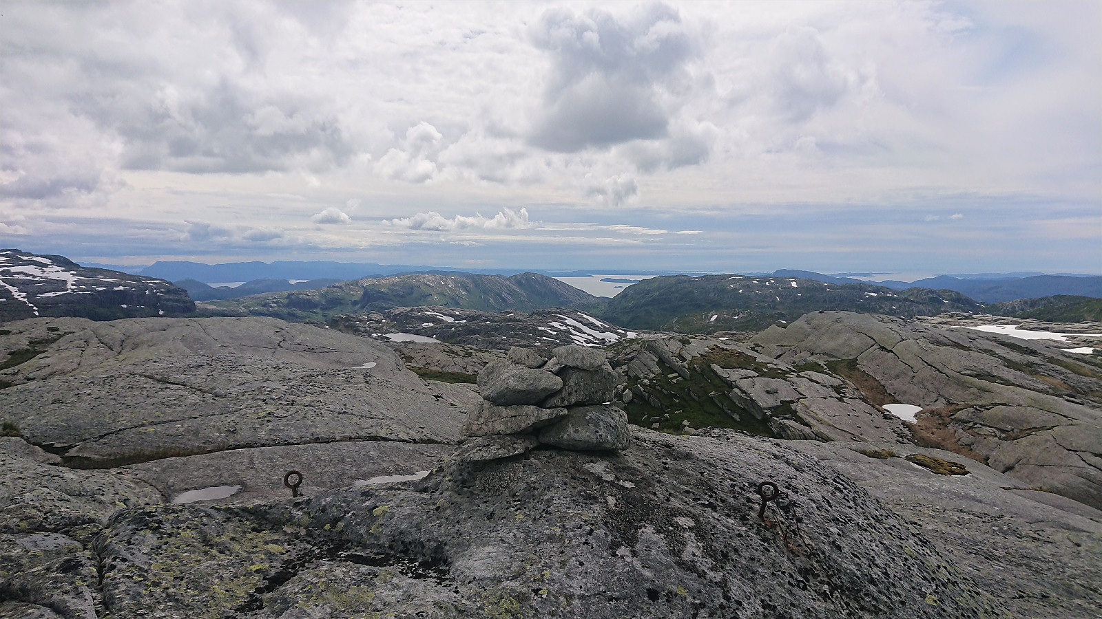
The smaller hill connected to Ullandsfjellet called Tangafjellet (not added as a separate PB-element as I did not visit the summit) provided an even better location for inspecting possible routes up to the summit of Burlifjellet, as there were clearly steep areas that had to be avoided. In the end, I found an easy route that did not even require light climbing, and thus I soon arrived at the summit. Excellent views all around from Burlifjellet and a great spot for my first short lunch break.
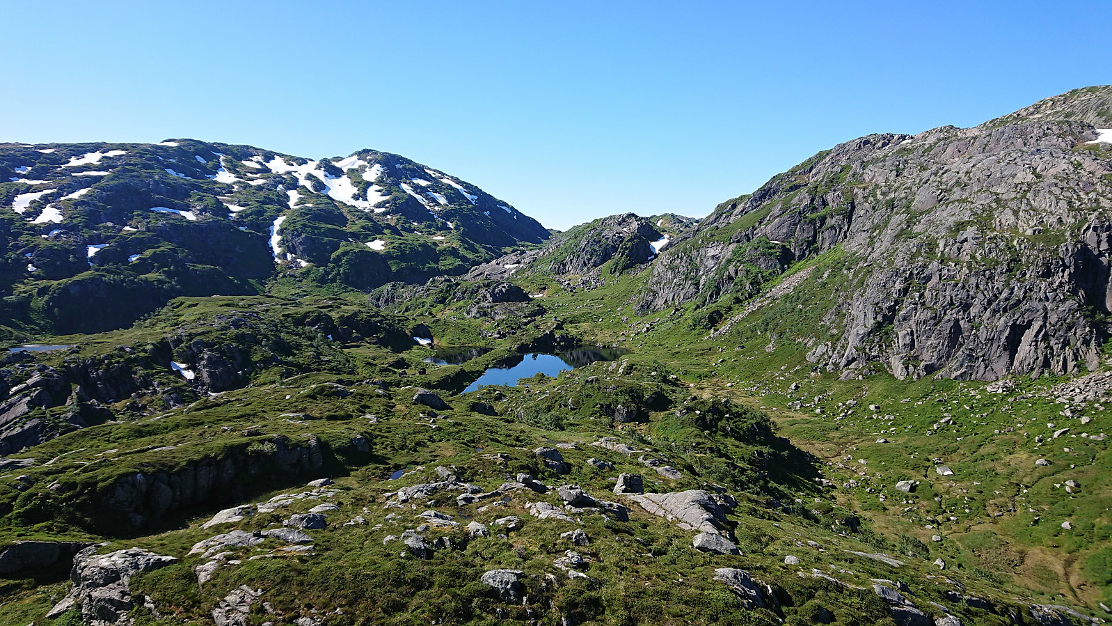
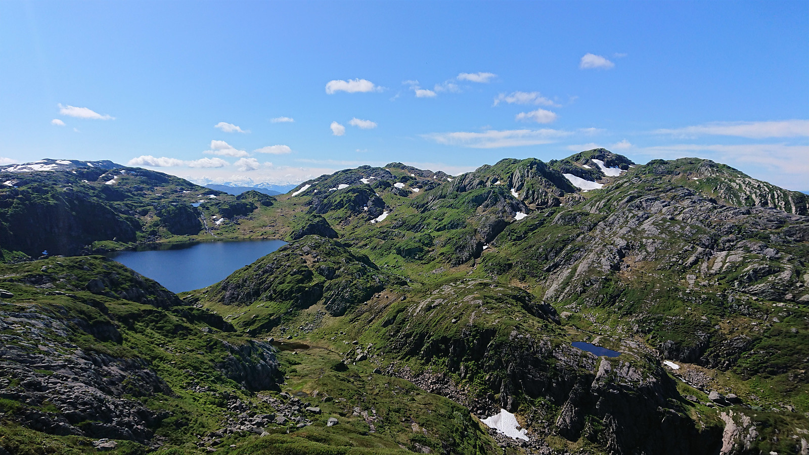
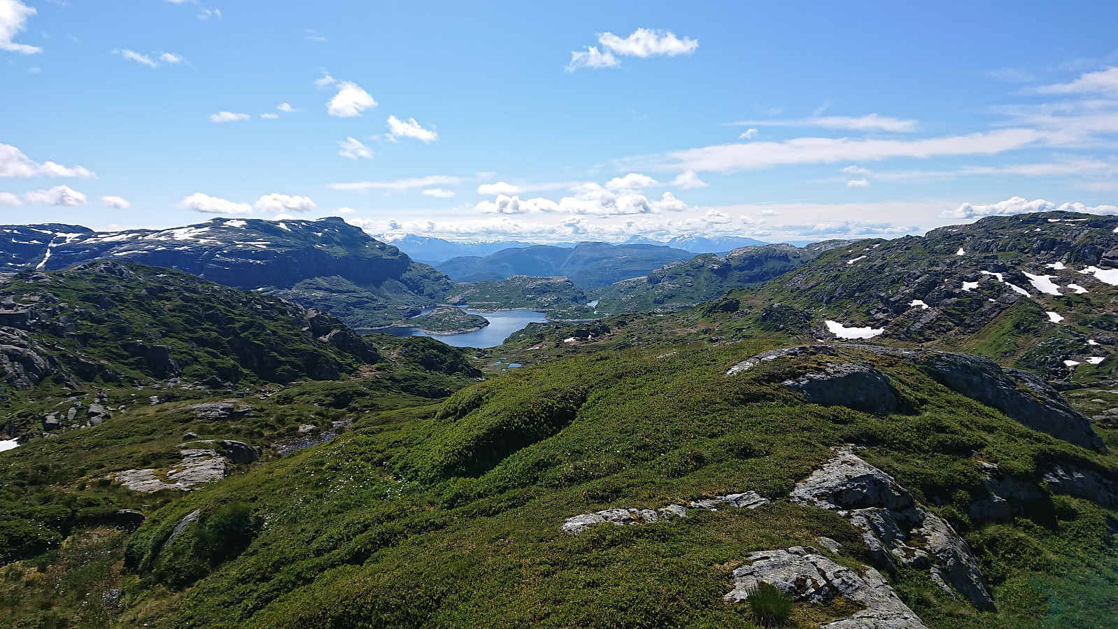
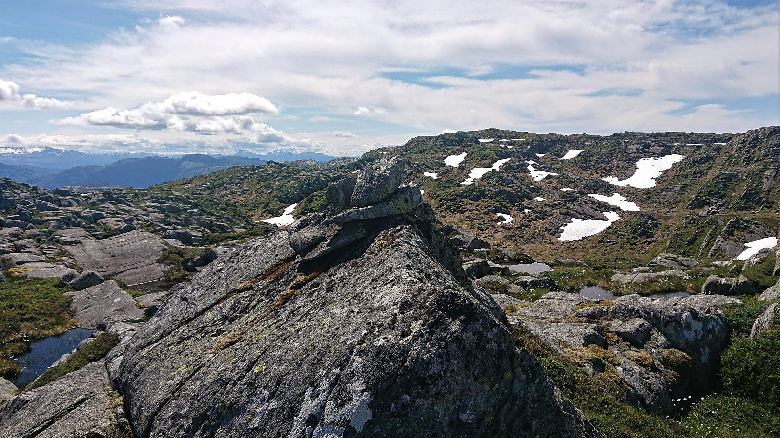
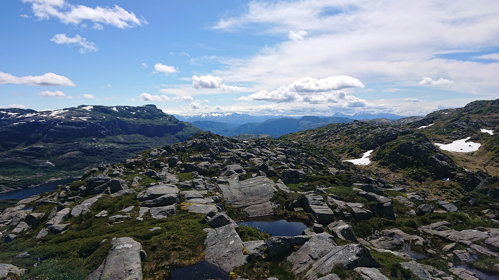
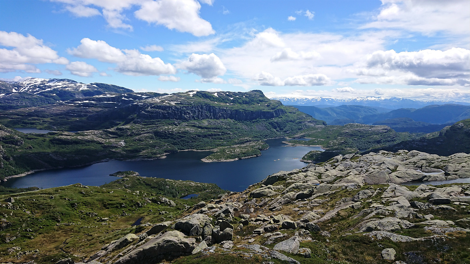
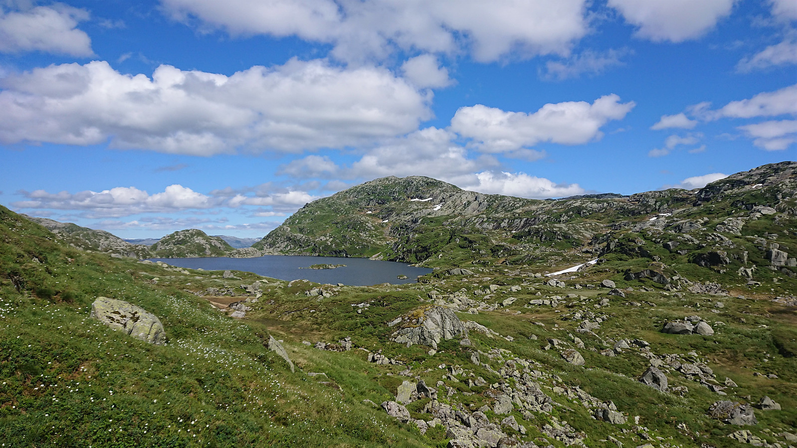
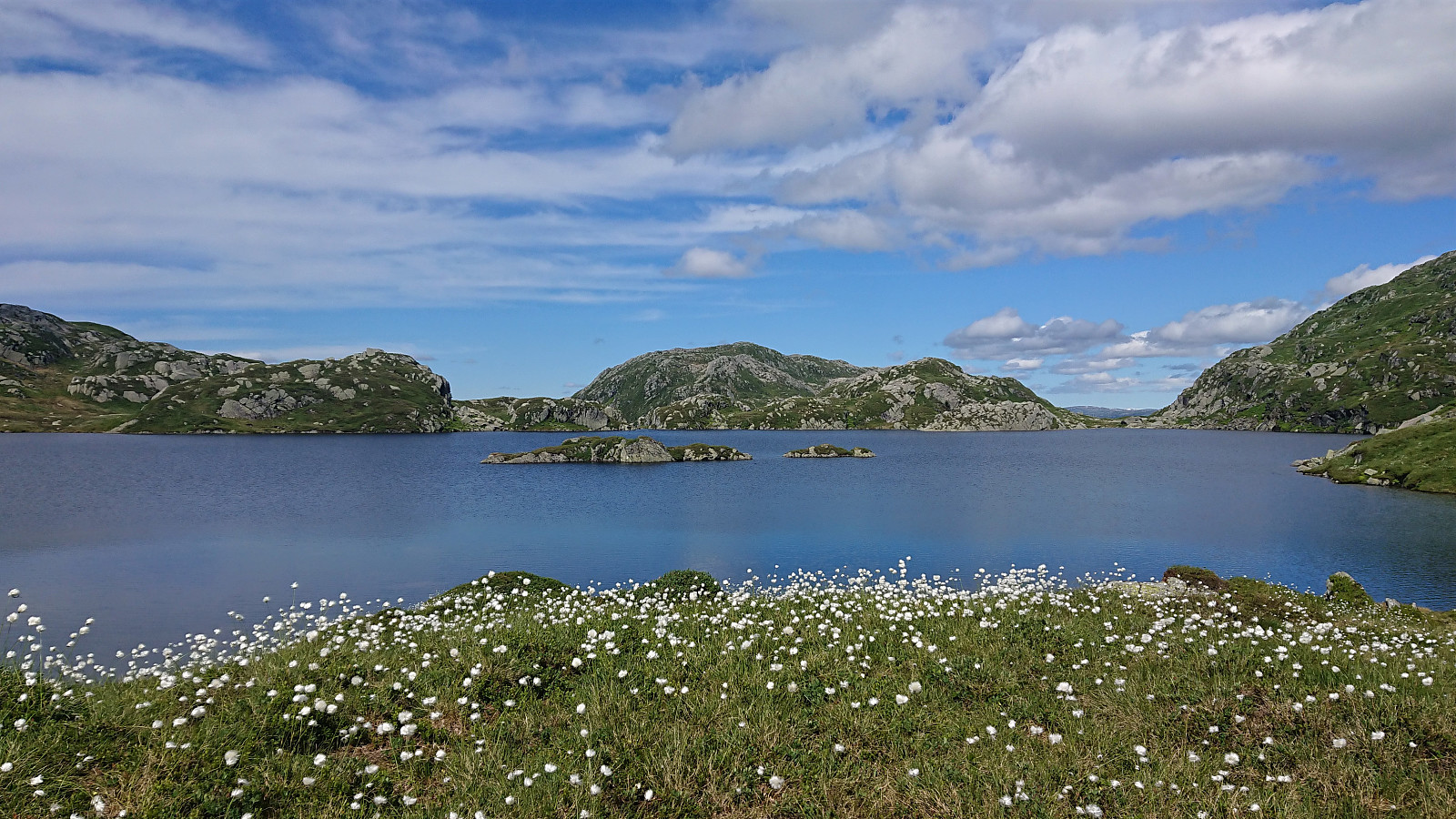
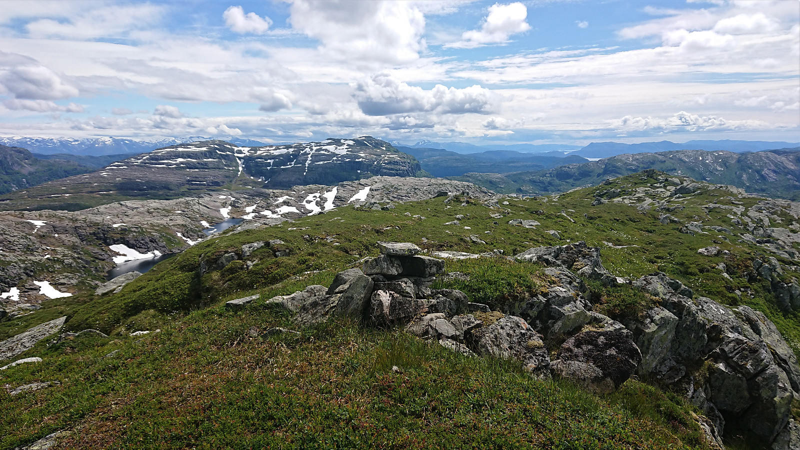
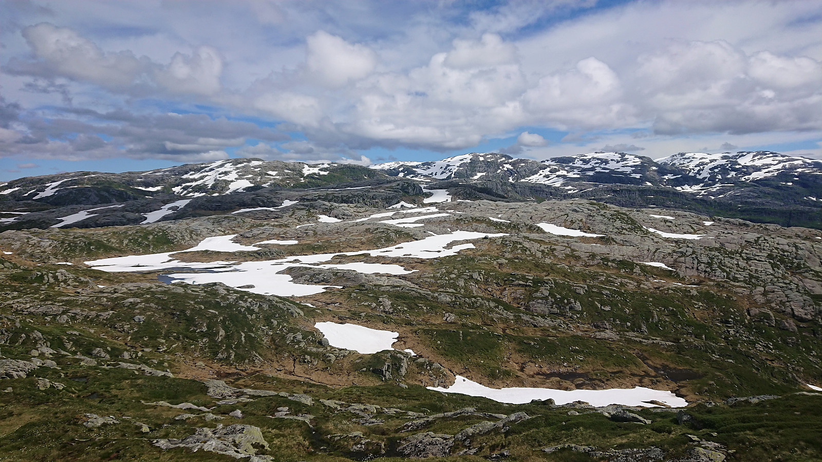
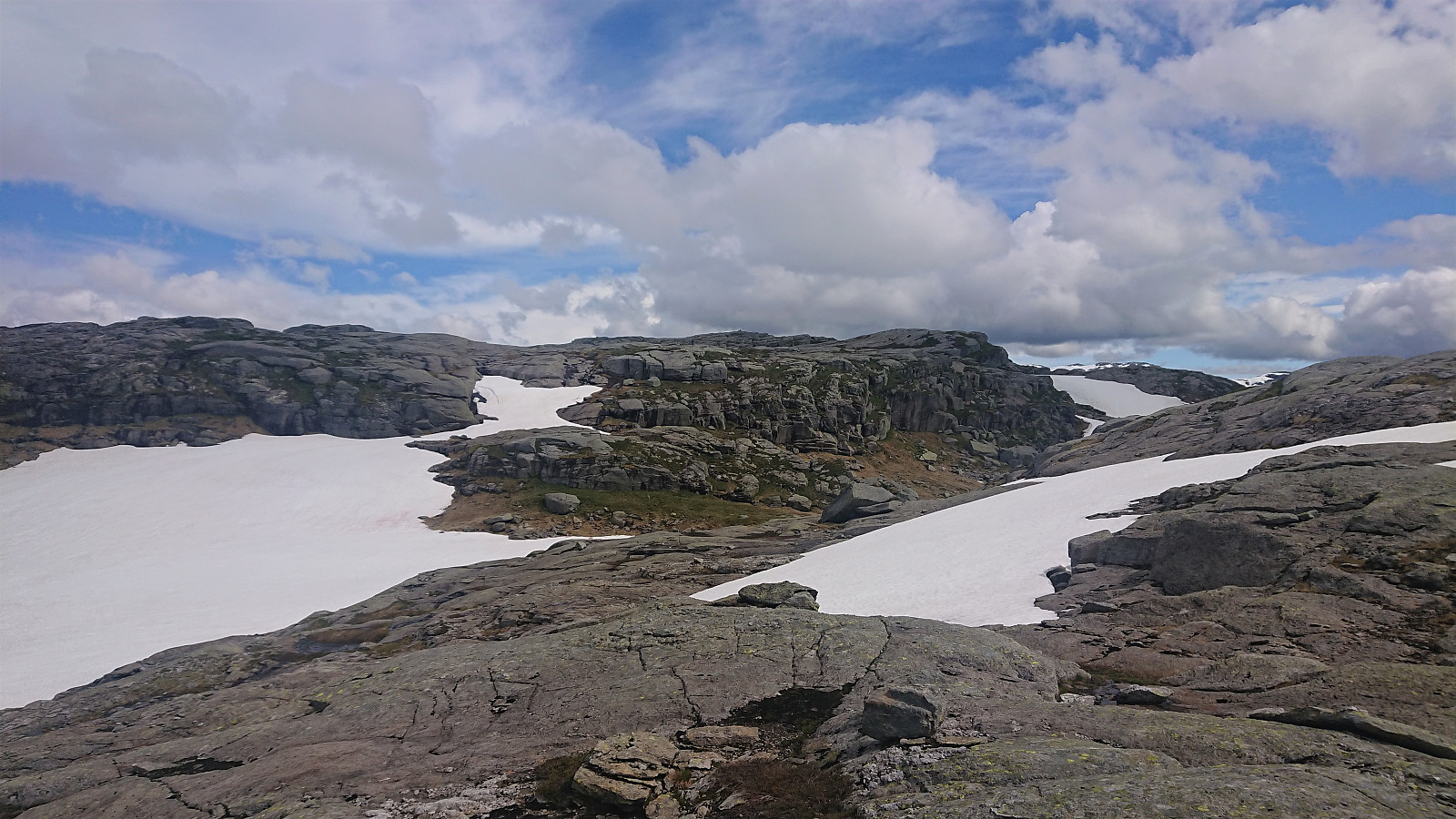
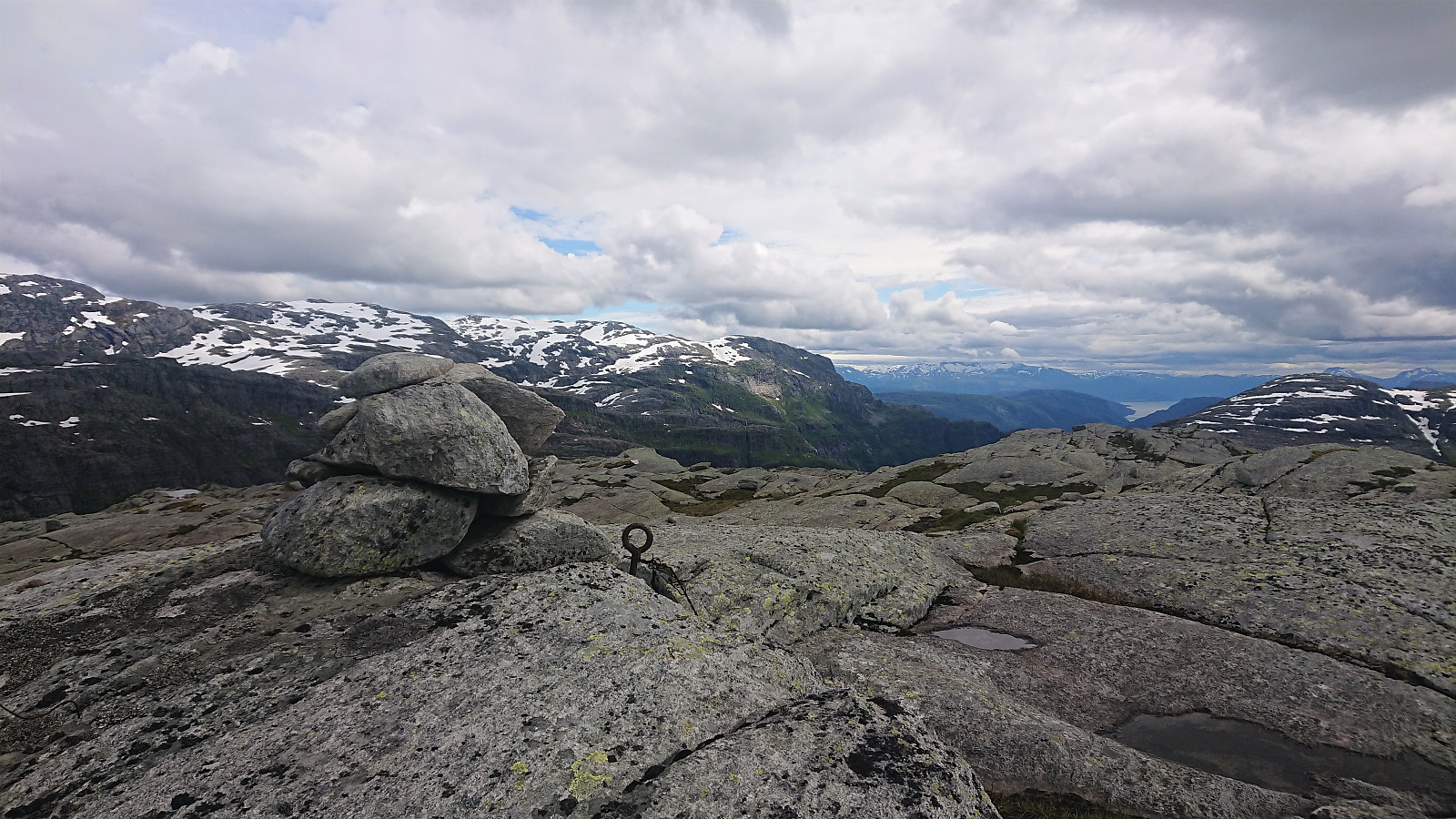
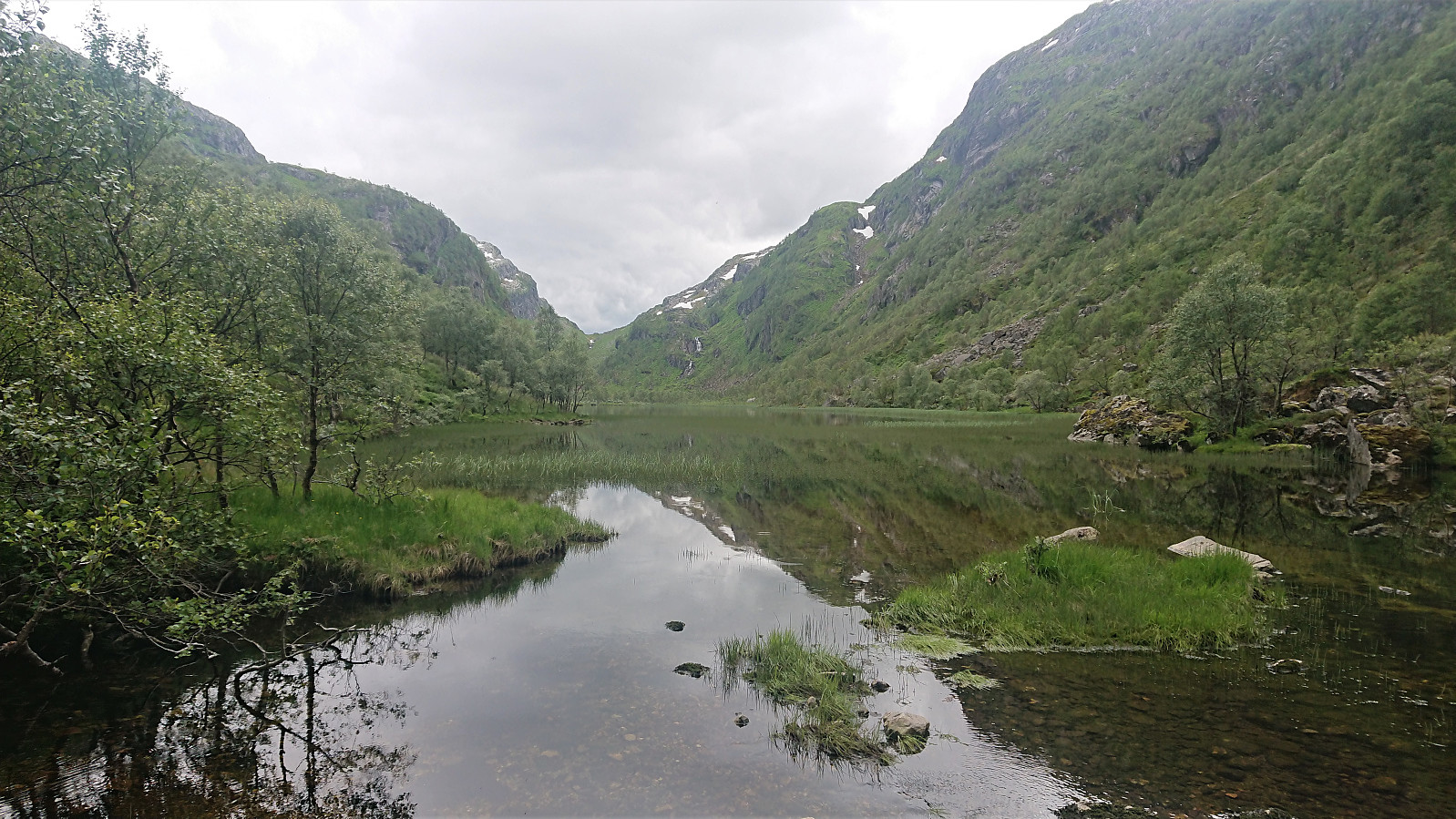
From Burlifjellet I shortly followed the marked trail in the direction of Svartatjørni (the only marked trail of the whole hike), before leaving the trail and making my own way up to Skorafjellet, reaching the summit without any real difficulties. After enjoying the great views, I continued south towards Trollabotnstjørna, making some detours to avoid the steepest section, and from there tried to find a good route to Austre Stemmefjellsnakken.
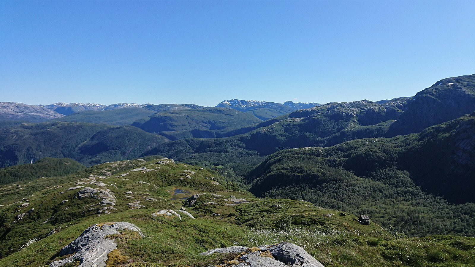
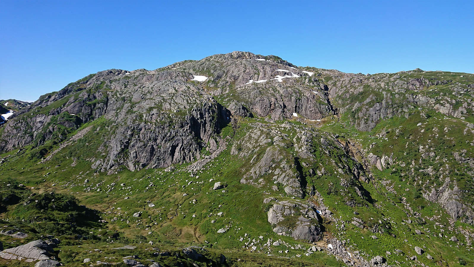
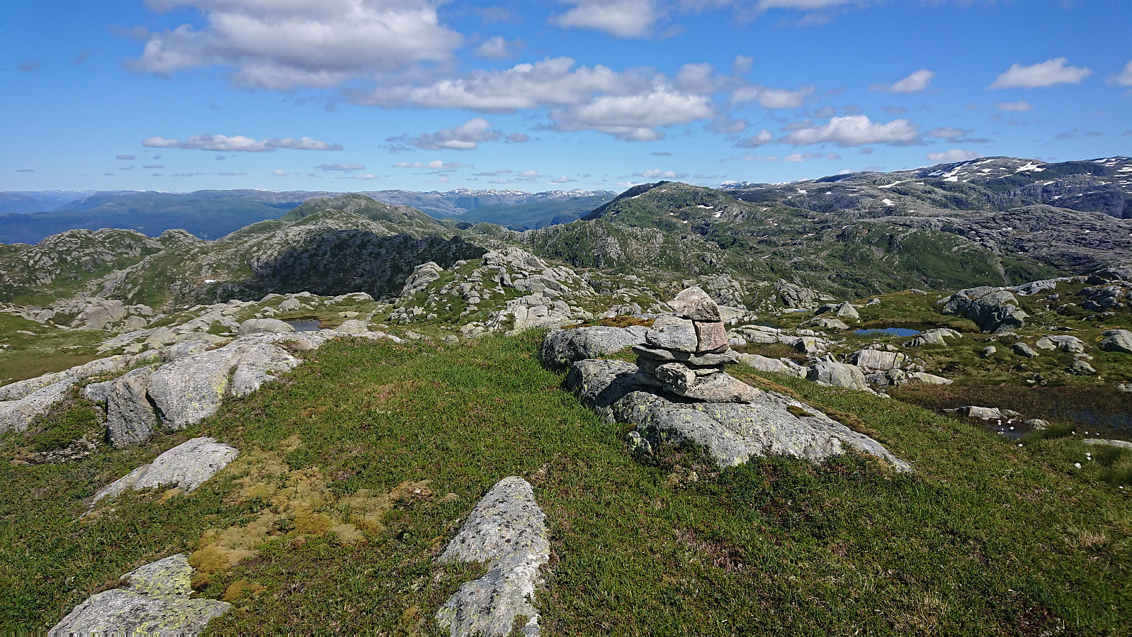
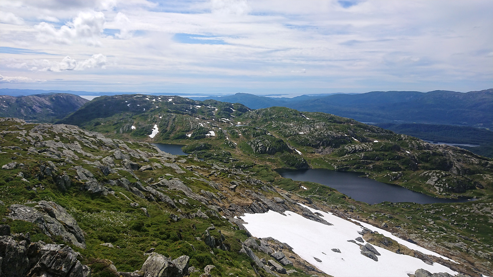
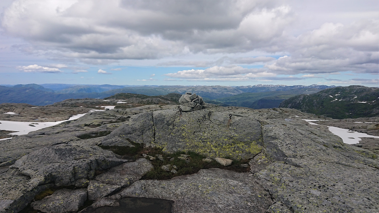
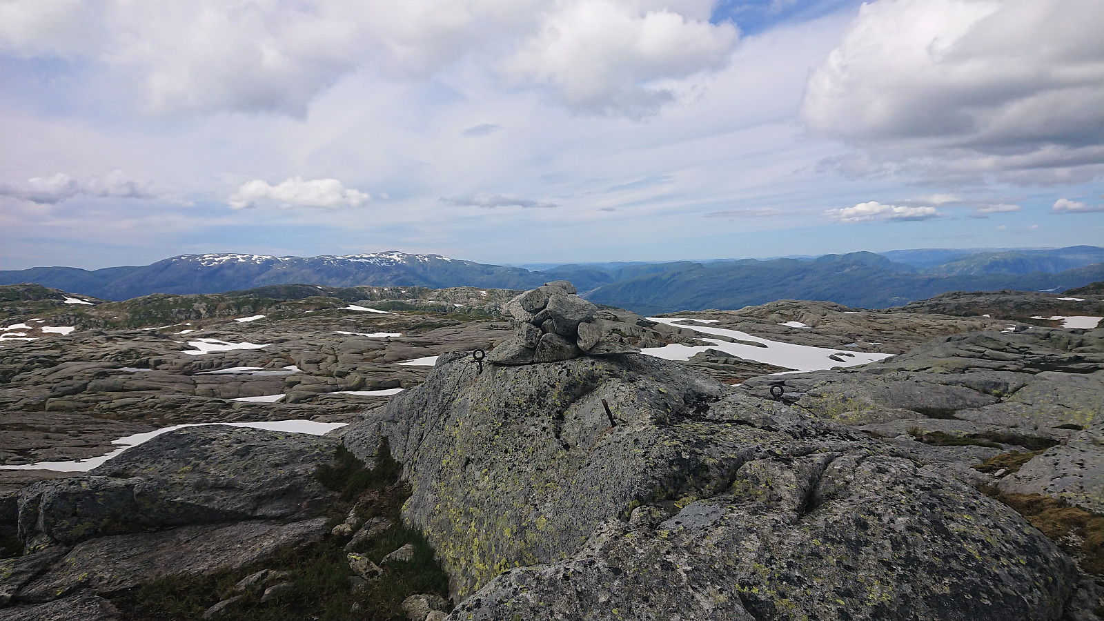
The simplest option seemed to be to first head towards Fossabottsvatnet and then pass over Fossabotnsnakkane, before heading down into Fossabotnen. This avoided all of the steep areas, while at the same time not deviating too much from the more direct route to the summit. I therefore did exactly that, and again the summit was reached without any issues, and I was now at the most southern point of today's hike.
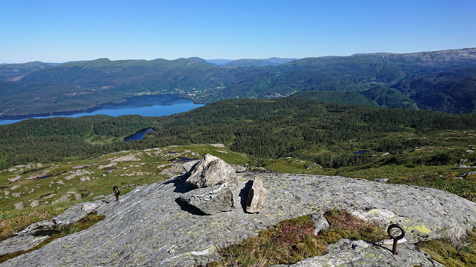
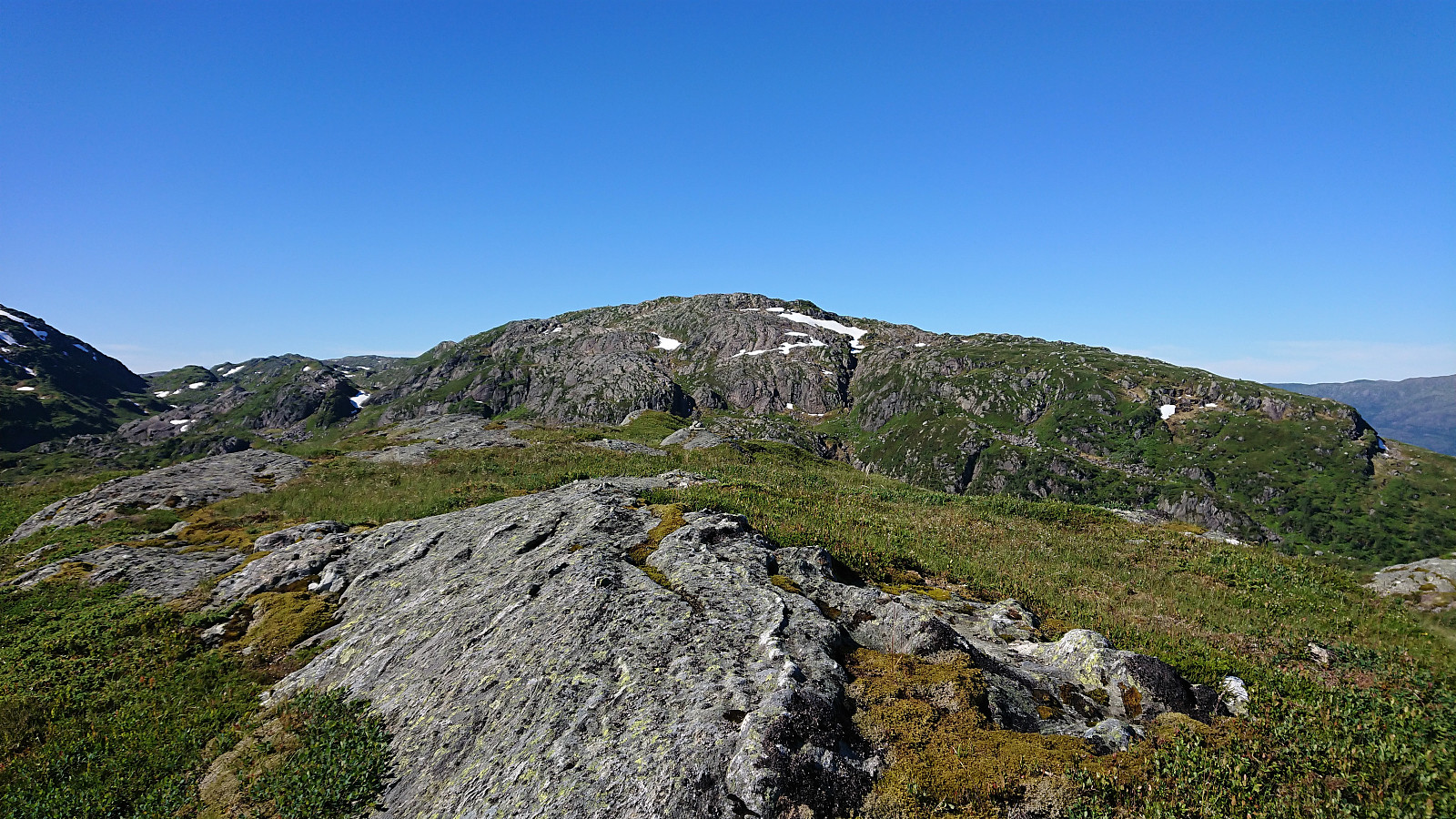
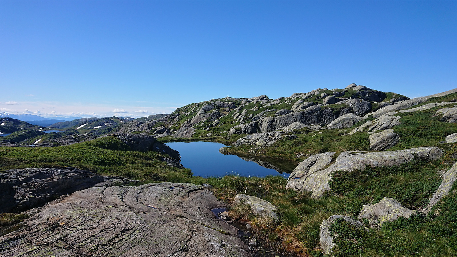
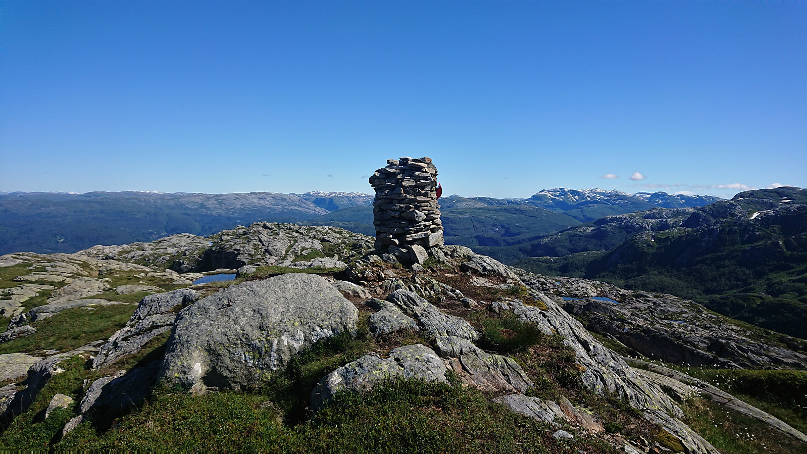
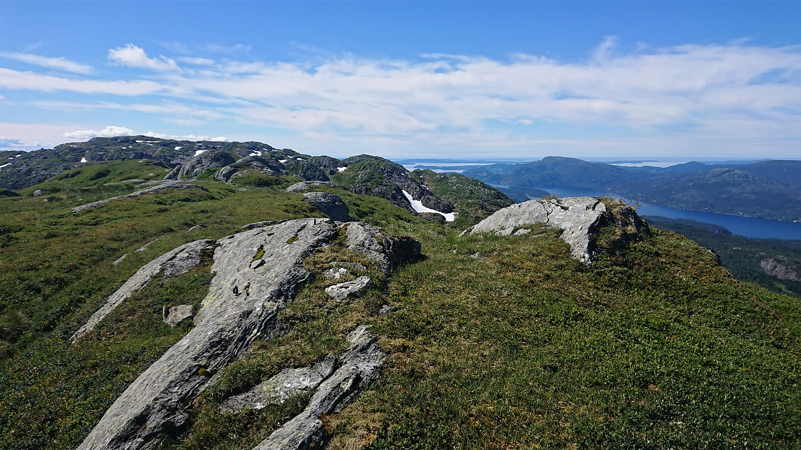
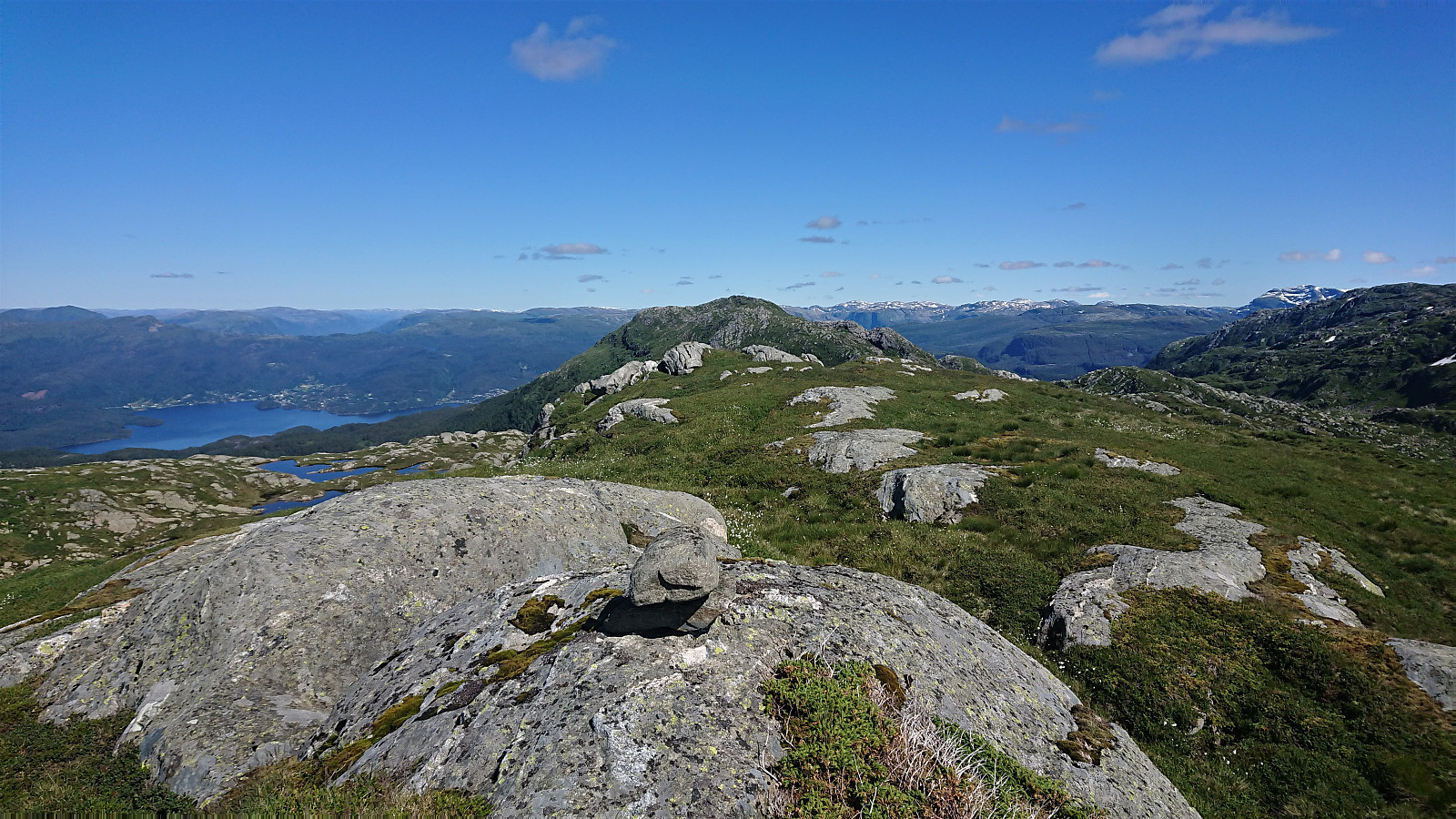
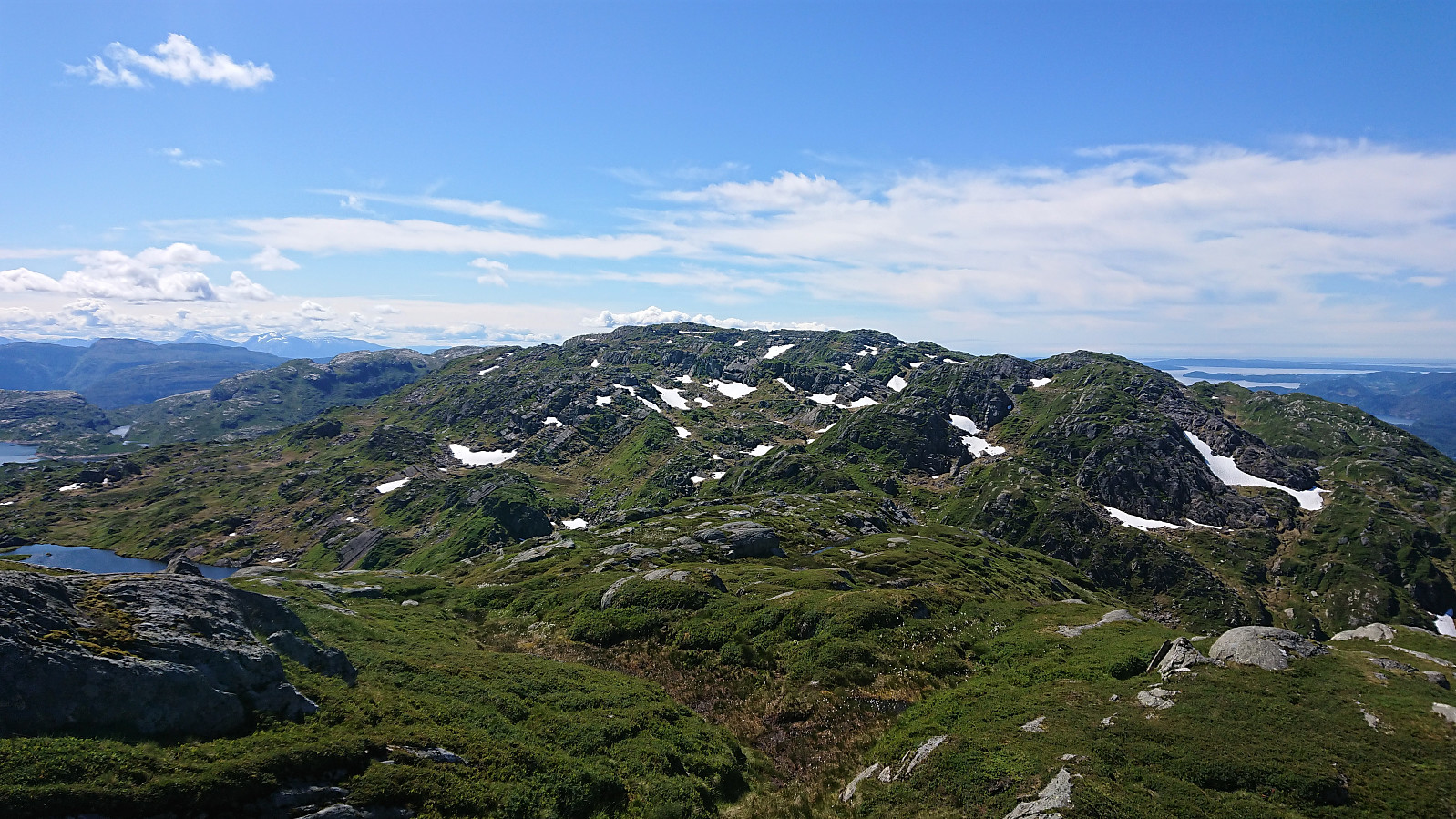
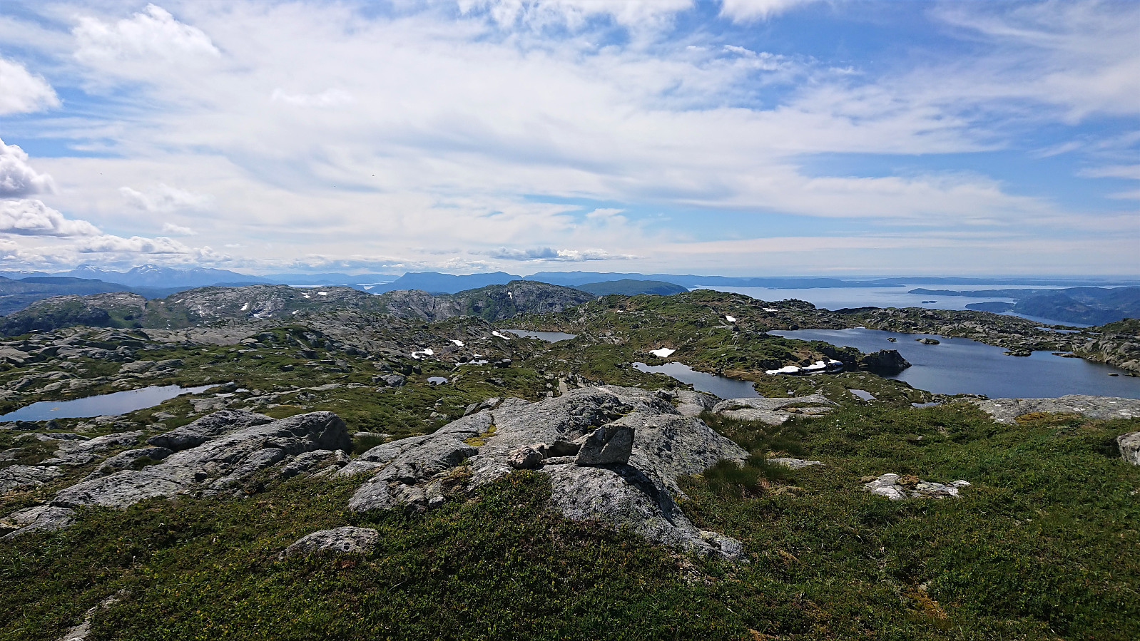
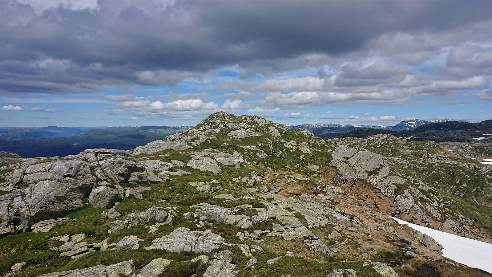
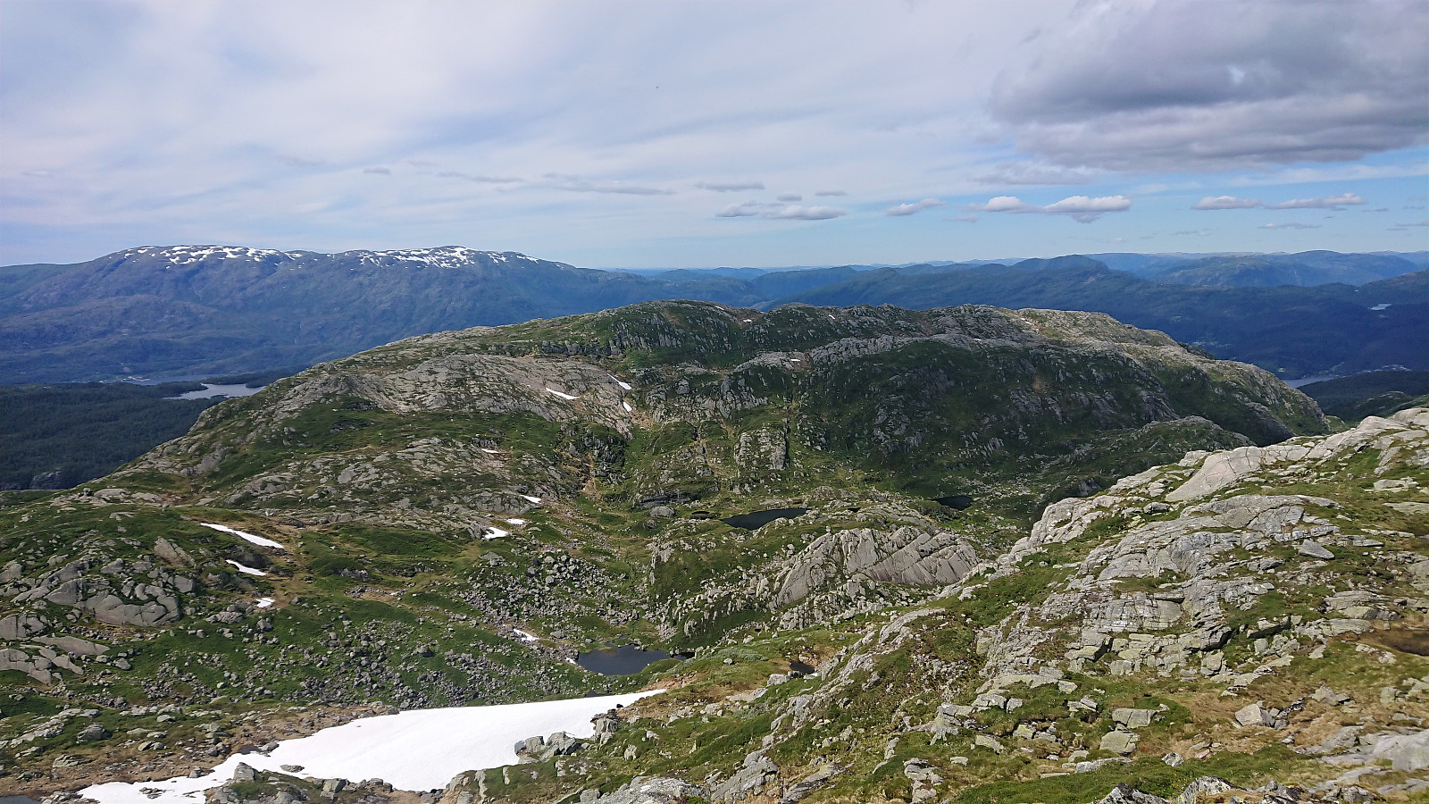
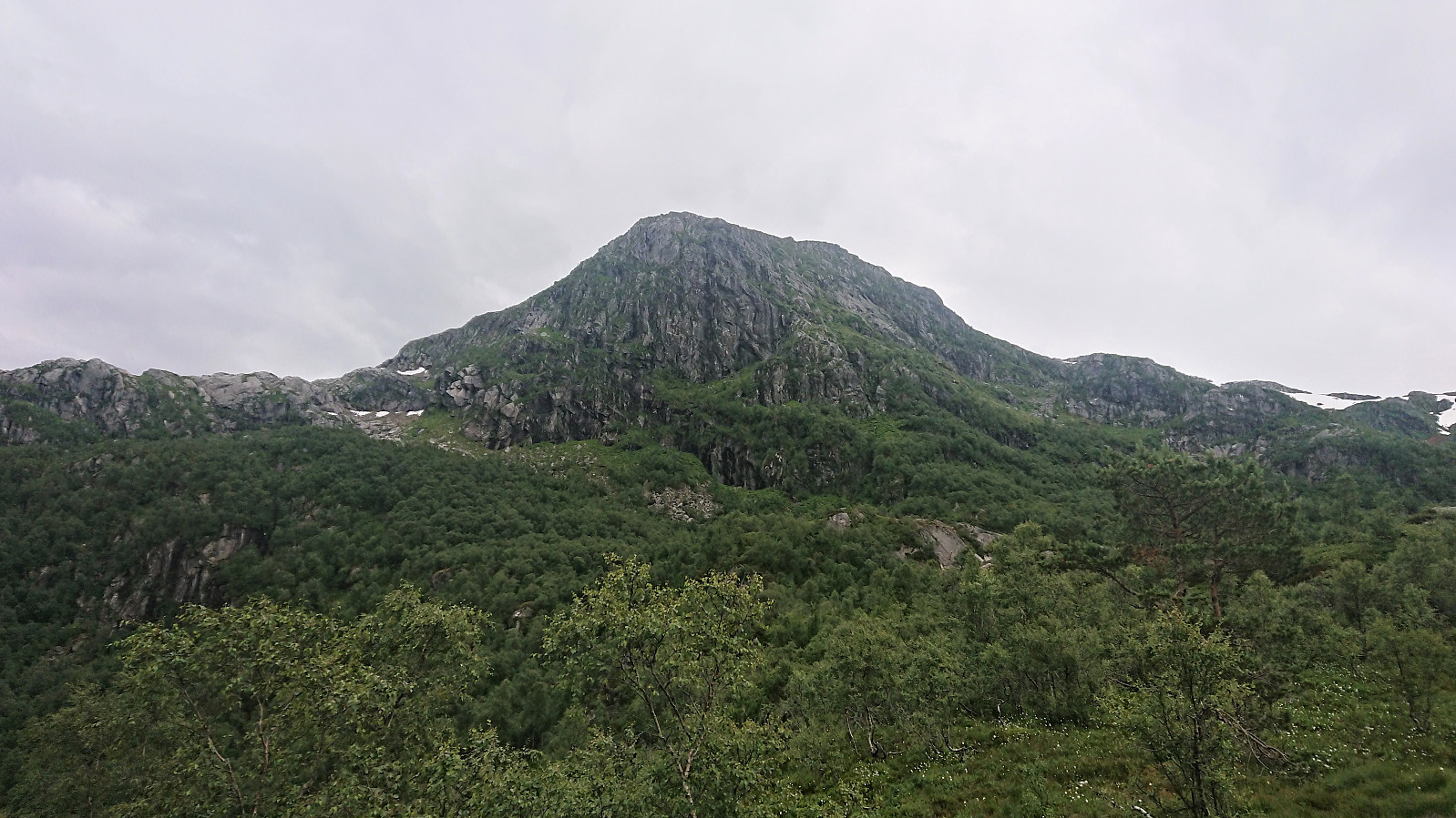
After a second short lunch break with some excellent views towards Ottanosi, I started my return, following a relatively straight route to Solafjellet. The terrain here was generally easier than what it had been on the hike south, less up and down and almost now steep areas to avoid. I therefore made good progress and it did not take too long before I could start my ascent to Solafjellet. The only challenge being a false summit south of the real summit, but the disappointment was rapidly overcome and the real summit reached, yet again providing nice views.
I however did not stay long before continuing towards the last goal of the day: Trælen, which thankfully could be quite easily reached from Solafjellet. Sadly the sun pretty much disappeared along the way though, somewhat ruining the views from the summit. But I do not think the views would have compared to the great views from the earlier summits in any case.
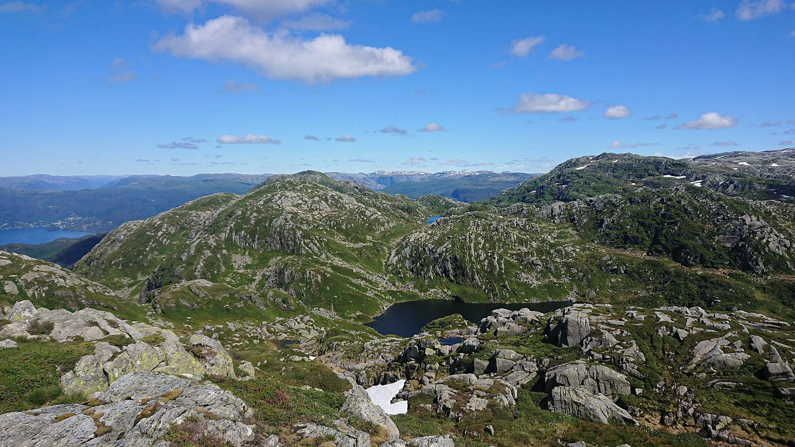
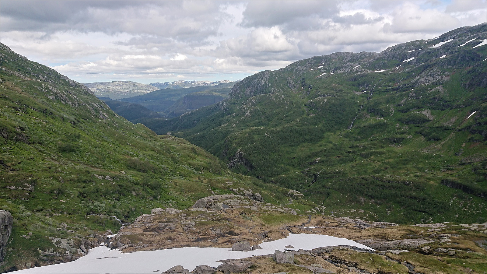
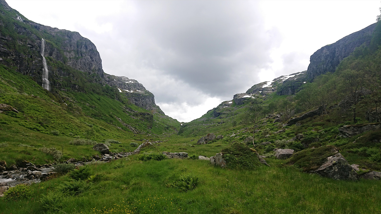
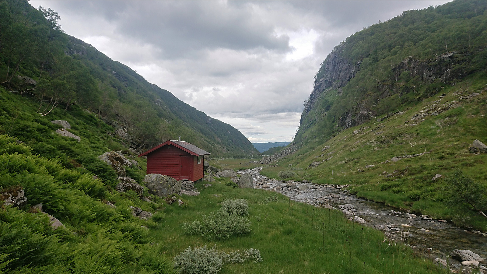
With gray clouds above, and the potential threat of rain, I quickly started my descent into Kikedalen. The first part was straightforward, but later I came across some sections that were too steep to hike. Luckily the steep areas could be easily avoided, and when the descent turned slightly steeper towards the end (although not steeper than what could be easily hiked), there were trees that made the final descent into the valley straightforward.
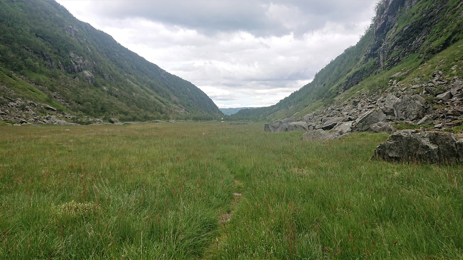
The map indicated a trail heading north, but while I did come across a very weak trail, I quickly lost it, and thus struggled a bit to find a good place to cross the river. In the end I simply walked across as my shoes were wet anyway. On the other side of the river I found the weak trail again. Seems like perhaps I should have crossed the river at an earlier point?
The trail quality greatly improved as I got closer to Kikedalsvatnet, and from there on the trail was of good quality all the way until connecting with the tractor road, which I then followed down to Holmane parkering II. All that remained was then the walk along the road back down to Frøland for the bus back to Bergen. I had plenty of time to spare, and even when taking it slow, I still had more than 25 minutes left when arriving at the bus stop.
In summary, an excellent long hike with great views that can be highly recommended. Clearly a hike that is best to do in nice weather though, as there are no trails and with the terrain being the way it is, it is highly beneficial to be able to see where one is heading and be able to plan a good route.


| Startzeitpunkt | 04.07.2020 08:23 (UTC+01:00 SZ) |
| Endzeitpunkt | 04.07.2020 17:34 (UTC+01:00 SZ) |
| Gesamtzeit | 9h 11min |
| Zeit in Bewegung | 8h 23min |
| Pausenzeit | 0h 48min |
| Gesamtschnitt | 3,1km/h |
| Bewegungsschnitt | 3,3km/h |
| Entfernung | 28,0km |
| Höhenmeter | 1.801m |


Benutzerkommentare
Wow!
Geschrieben von HHauser 05.07.2020 22:35Your hikes aren't really getting any shorter, Harald -- wow!
Re: Wow!
Geschrieben von hbar 06.07.2020 00:37At least I did not have to cycle to the trailhead this time... ;)