
Handfjellsåta, Beintjørnvarden and Kinno from Sandvikvåg (30.05.2020)

Skrevet av hbar (Harald Barsnes)

| Startsted | Sandvikvåg fergekai (2moh) |
|---|---|
| Sluttsted | Sandvikvåg fergekai (2moh) |
| Turtype | Fjelltur |
| Turlengde | 8t 51min |
| Distanse | 32,7km |
| Høydemeter | 1581m |
| GPS |
|
| Bestigninger | Beinatjørnvarden (499moh) | 30.05.2020 |
|---|---|---|
| Handfjellsåta (464moh) | 30.05.2020 | |
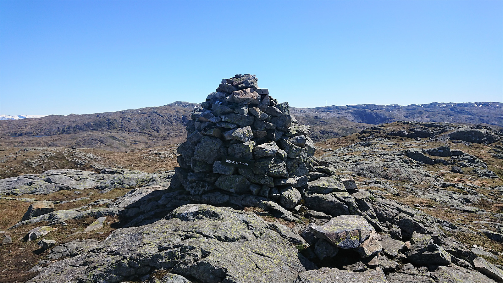
| Kinno (569moh) | 30.05.2020 | |
| Landasåtene (366moh) | 30.05.2020 | |
| Tuftalandsfjellet (165moh) | 30.05.2020 | |
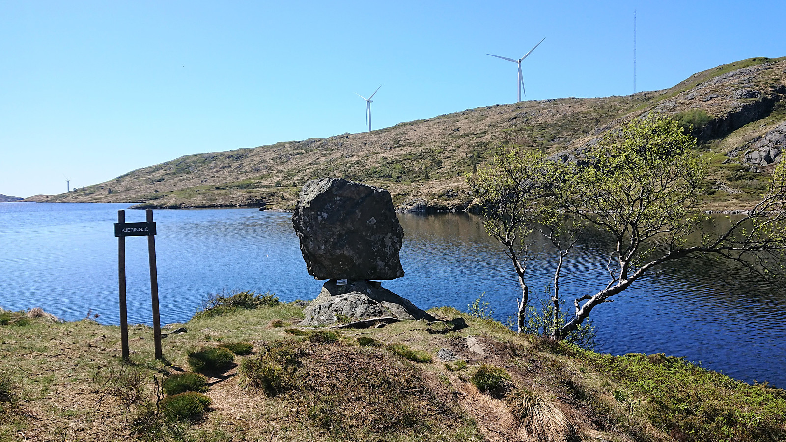
| Andre besøkte PBE'er | Kjeringjo (394moh) | 30.05.2020 |
Handfjellsåta, Beintjørnvarden and Kinno from Sandvikvåg
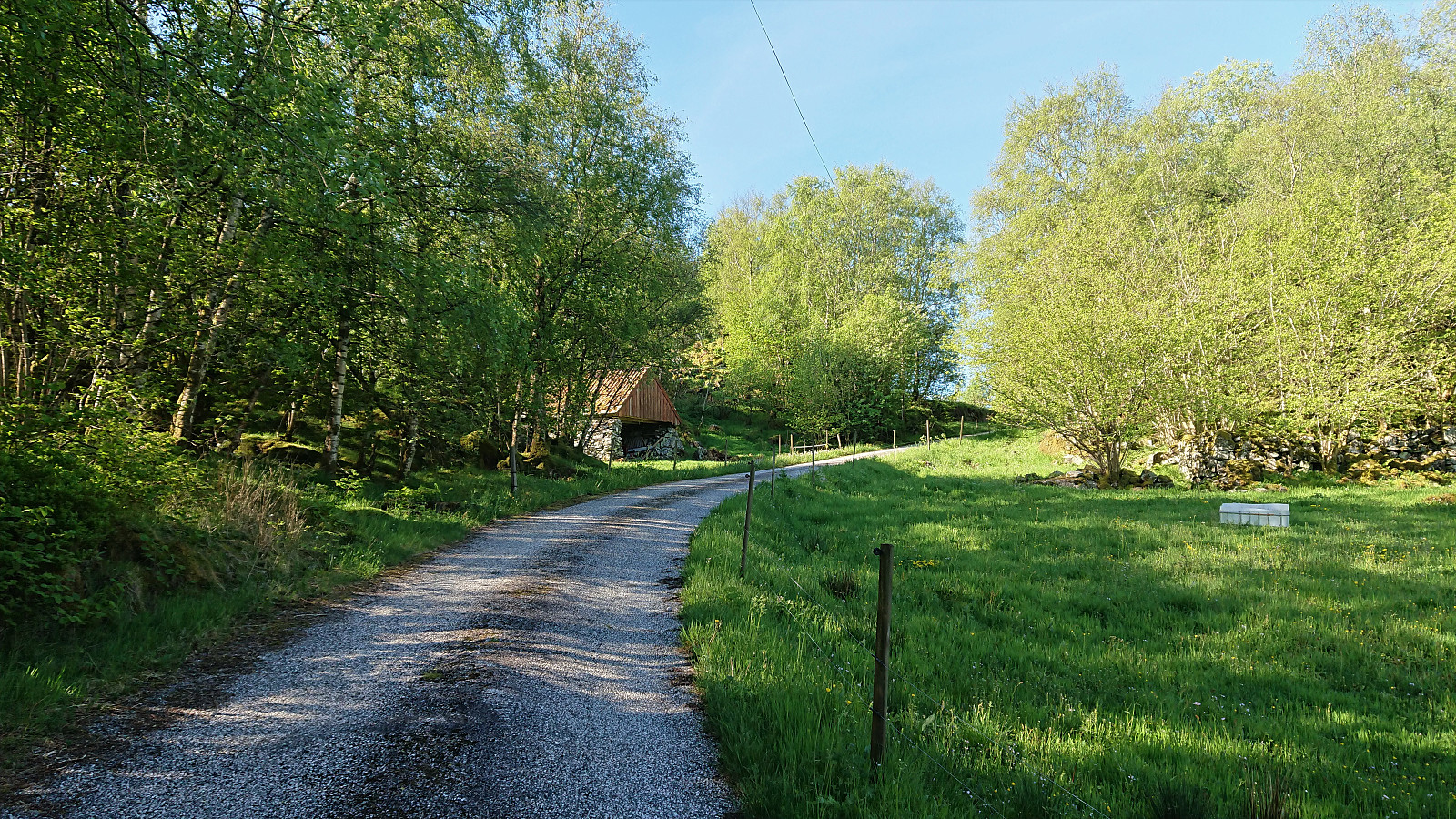
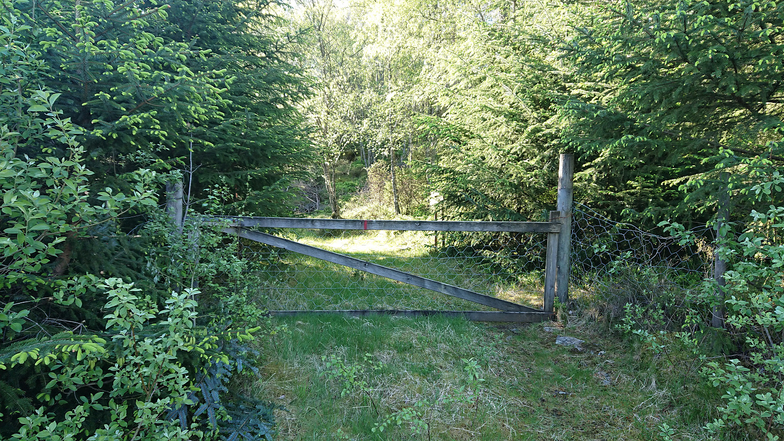
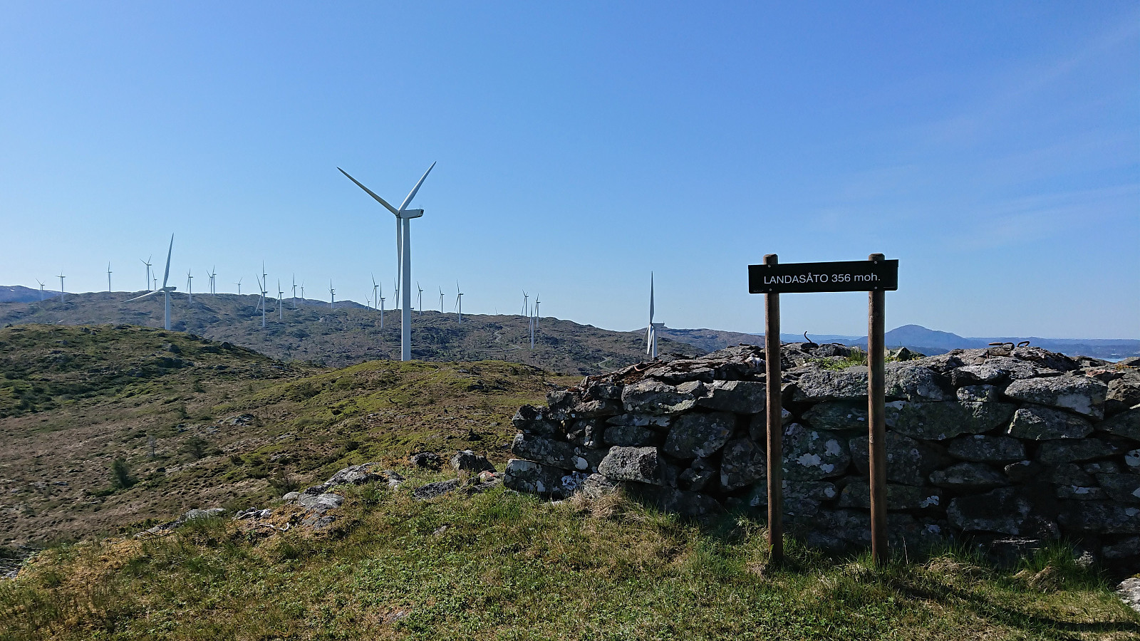
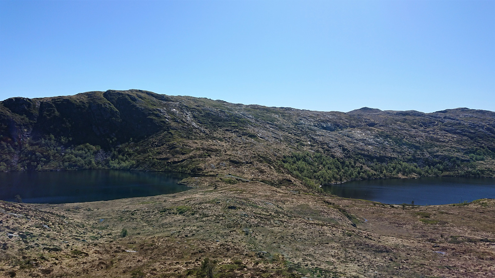
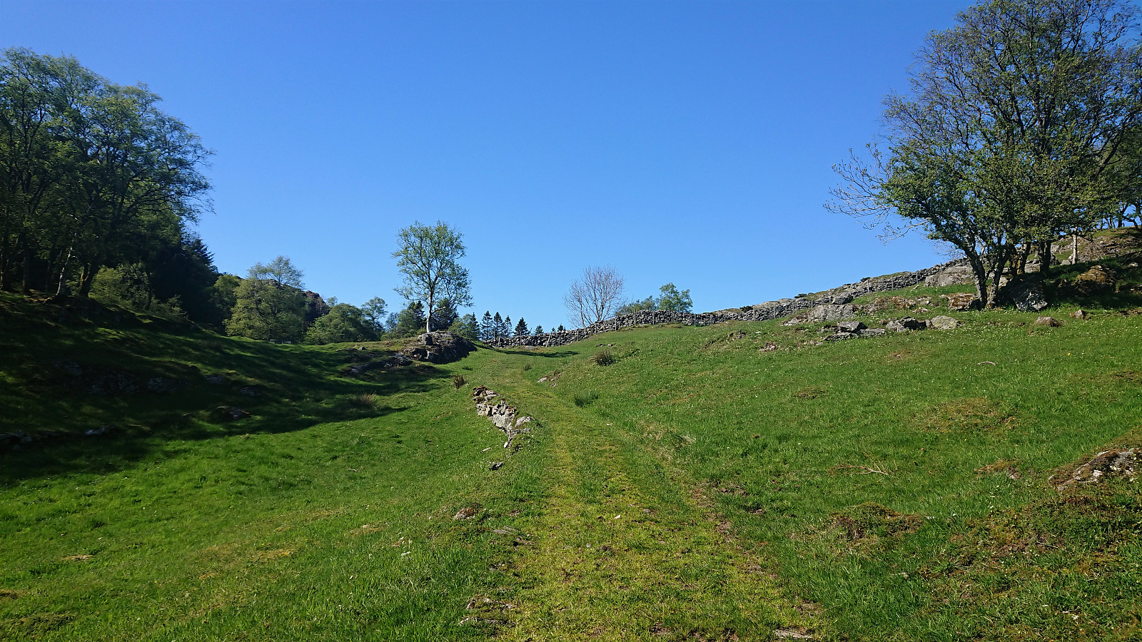
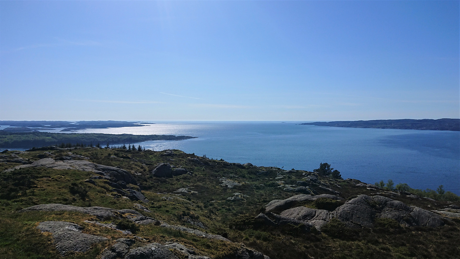
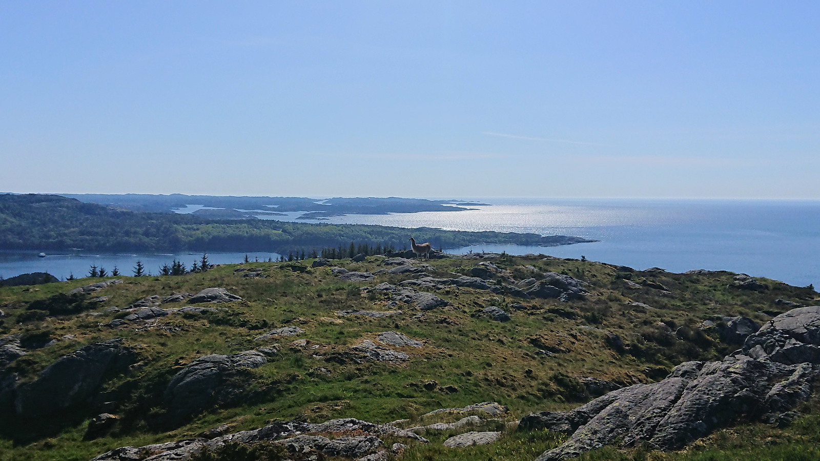
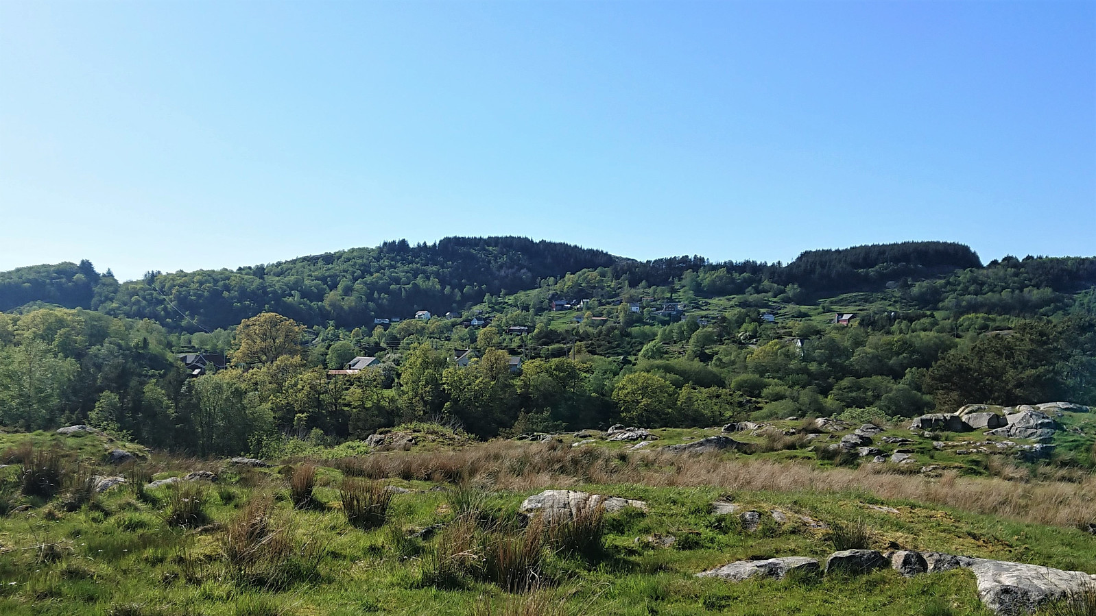
Started by taking the bus to Halhjem and ferry to Sandvikvåg, from where I followed a small side road to the marked trailhead at Sandvikvågvegen. Besides a point where it was blocked by a falling tree, the trail could be easily followed all the way to Landasåto. Did not meet any people, but I did come across a deer on the way (see the third picture).
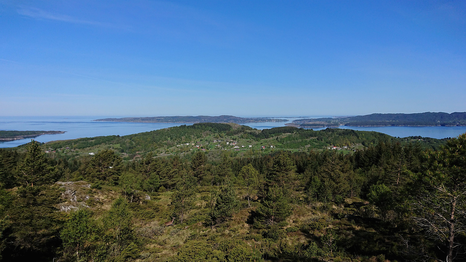
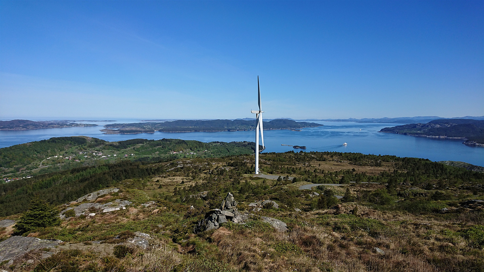
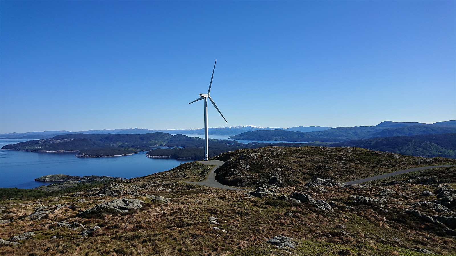
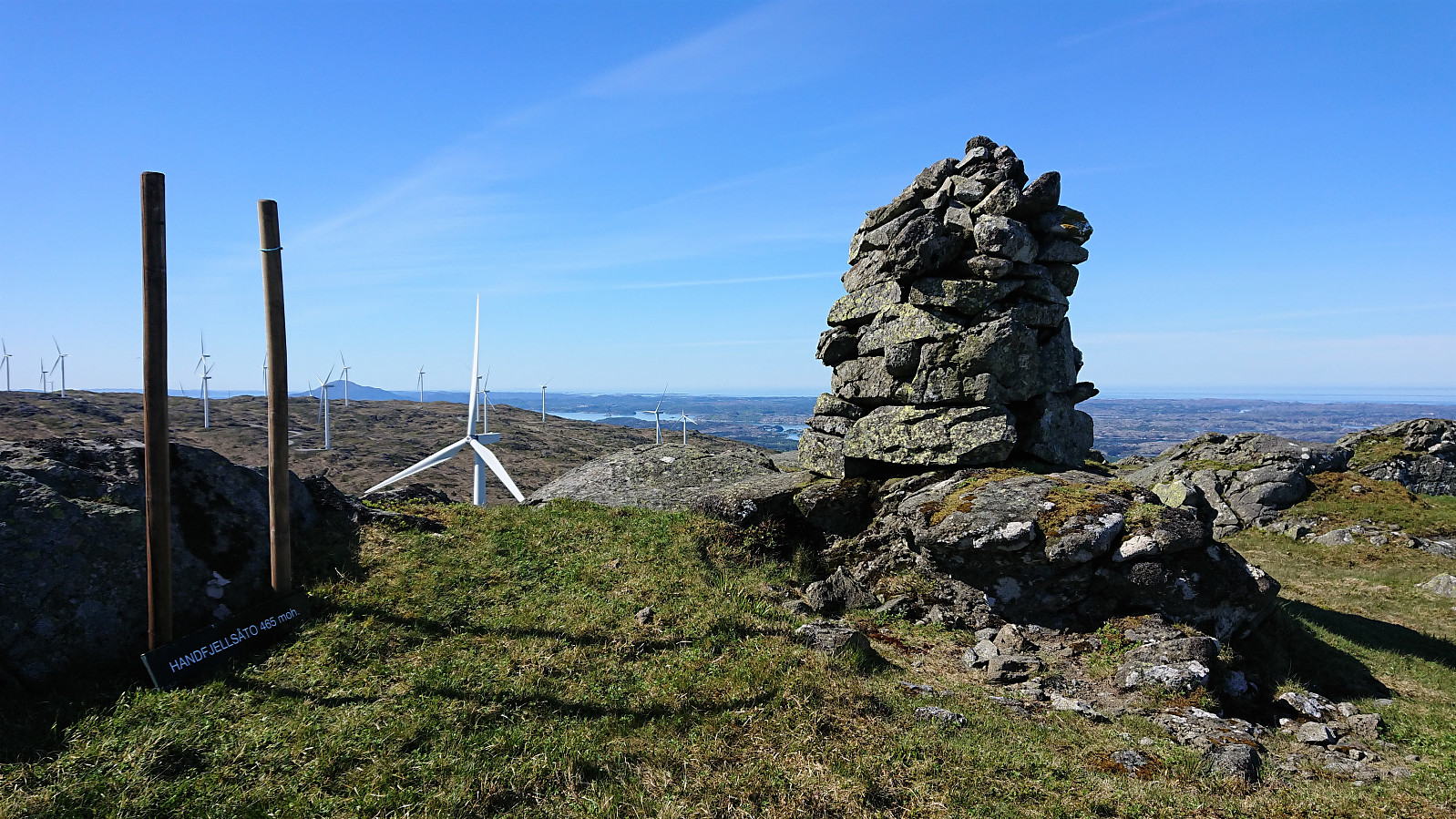
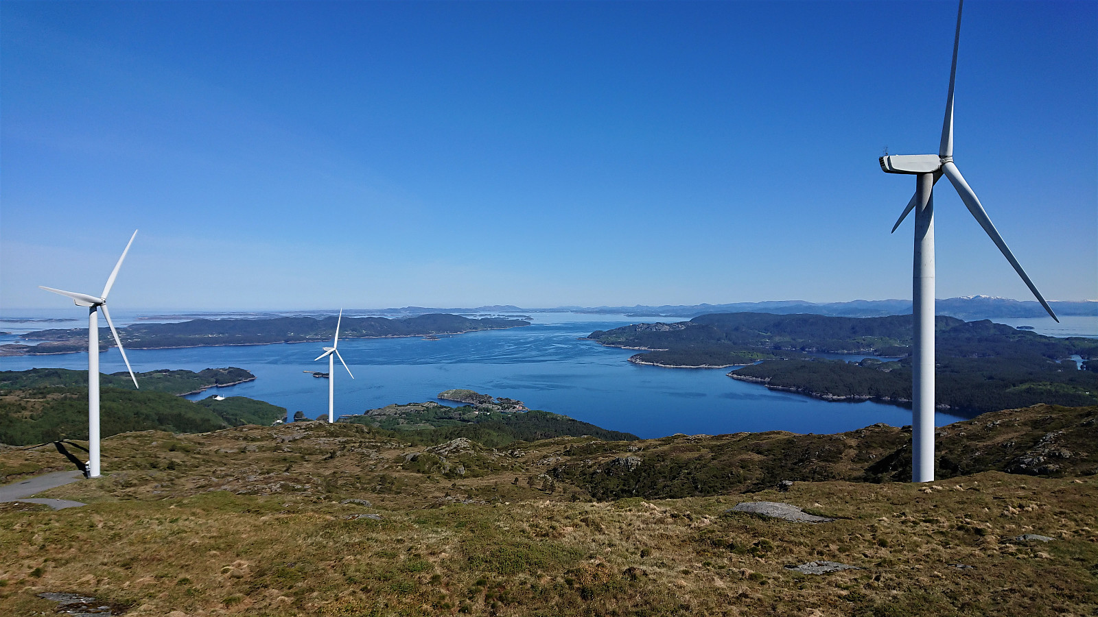
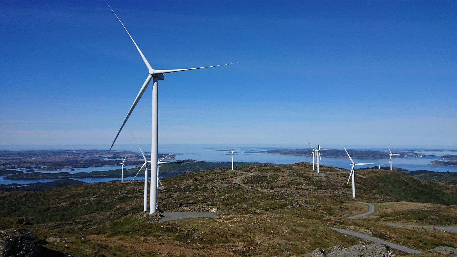
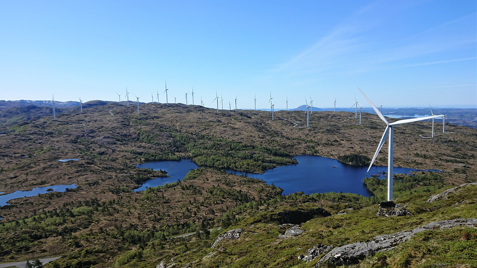
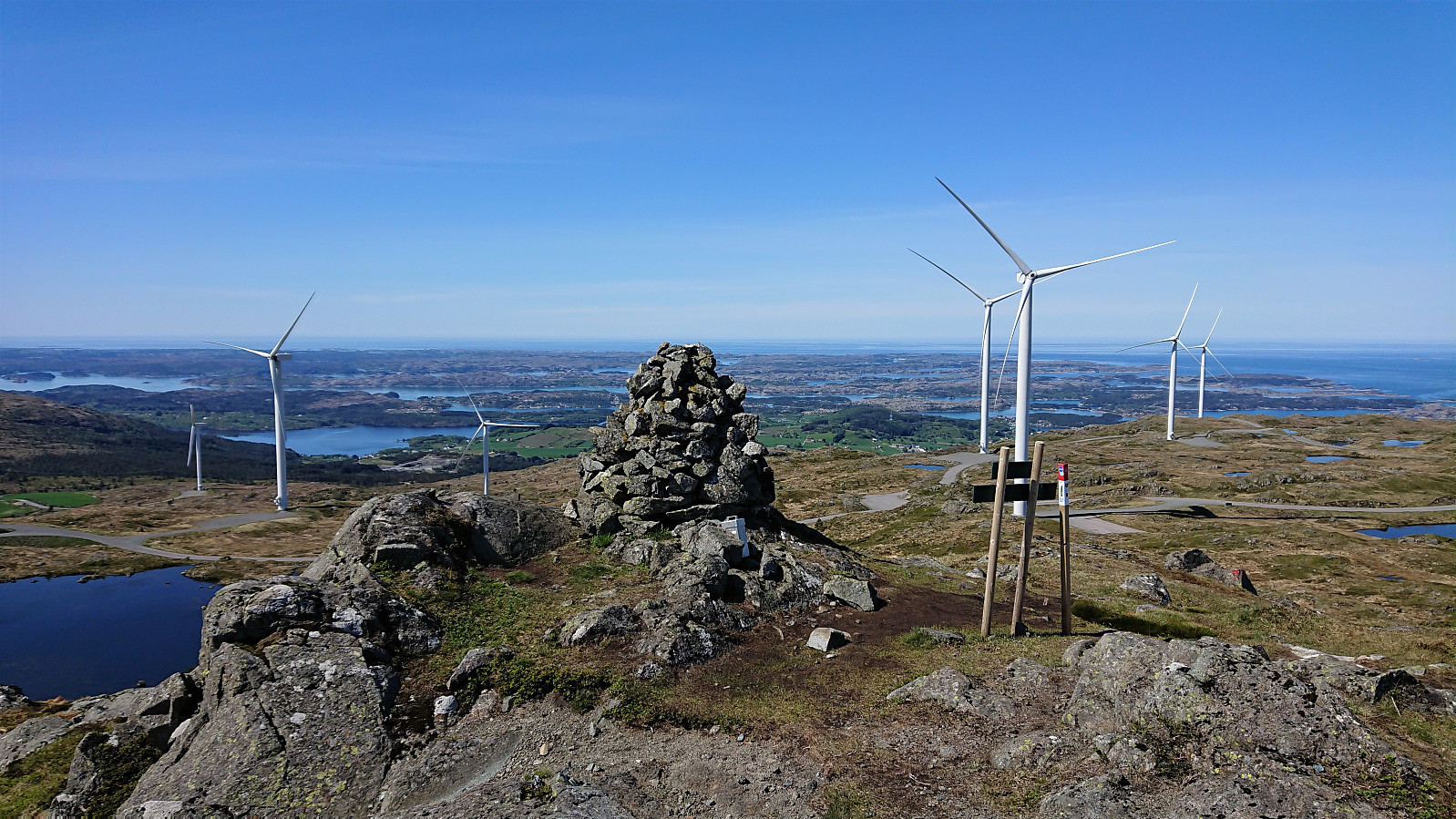
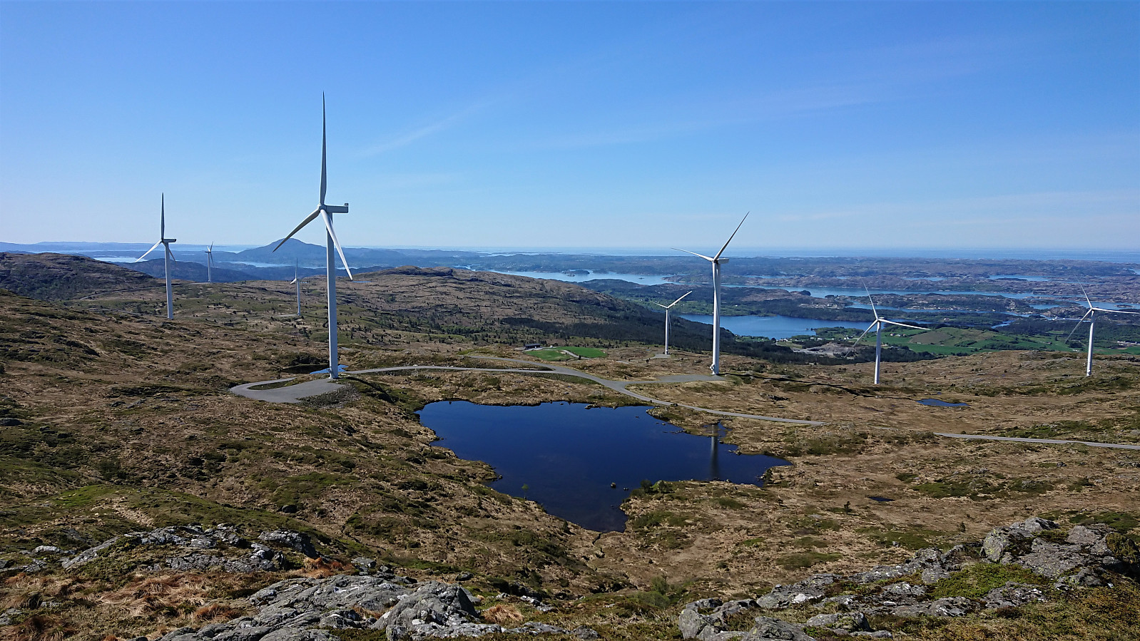
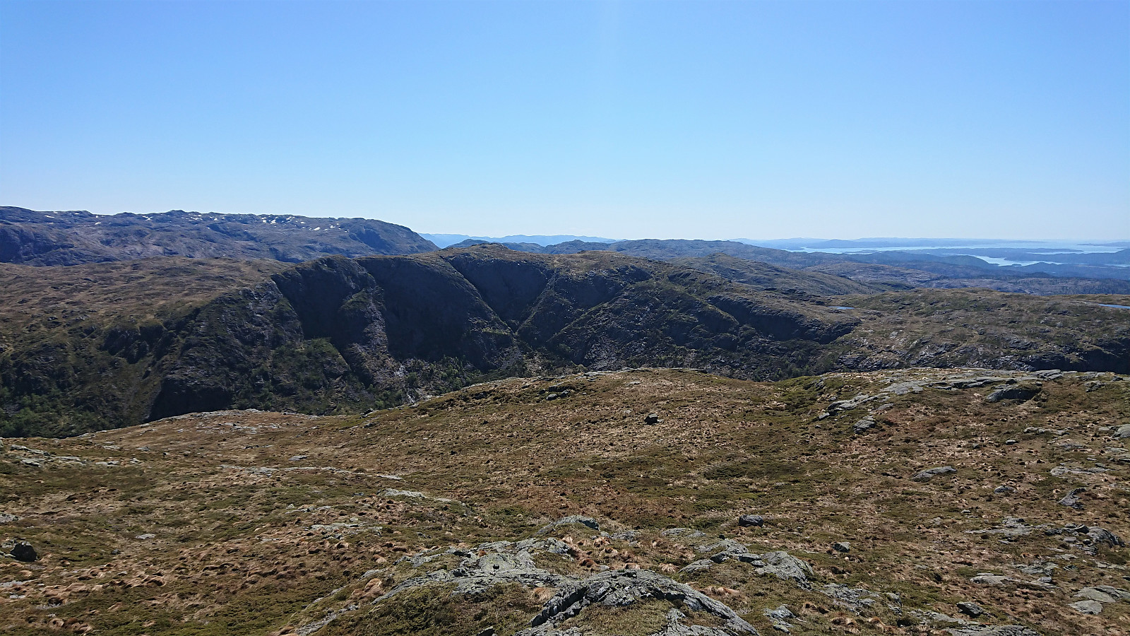
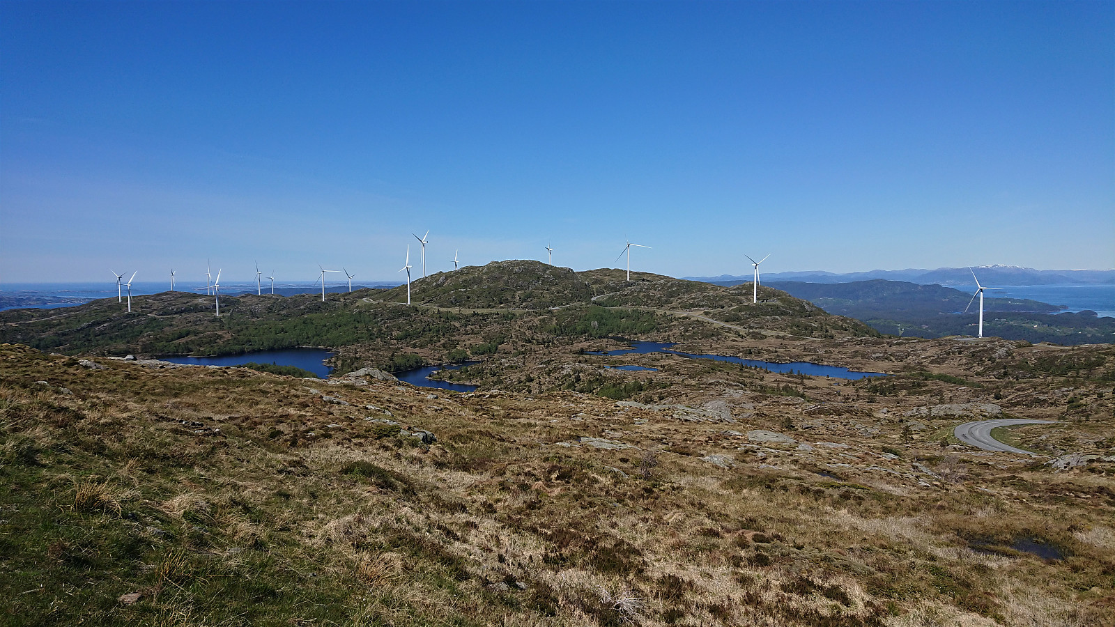
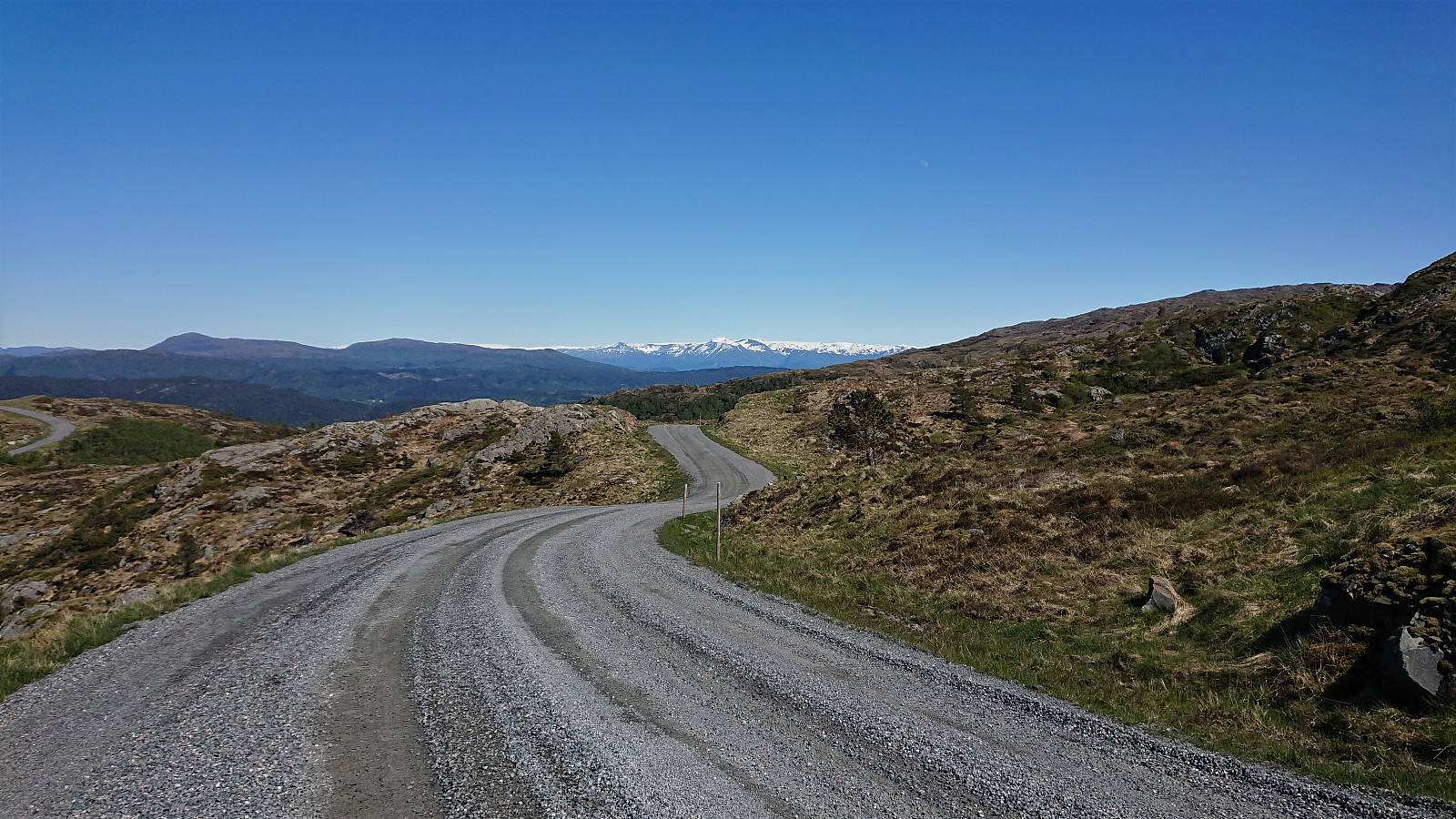
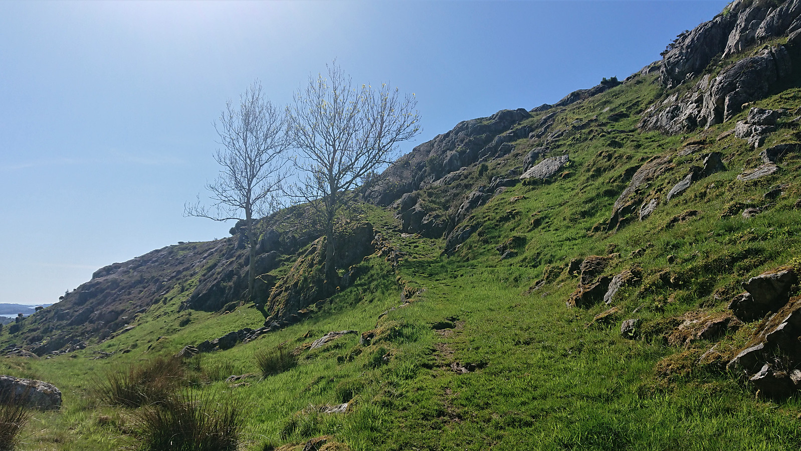
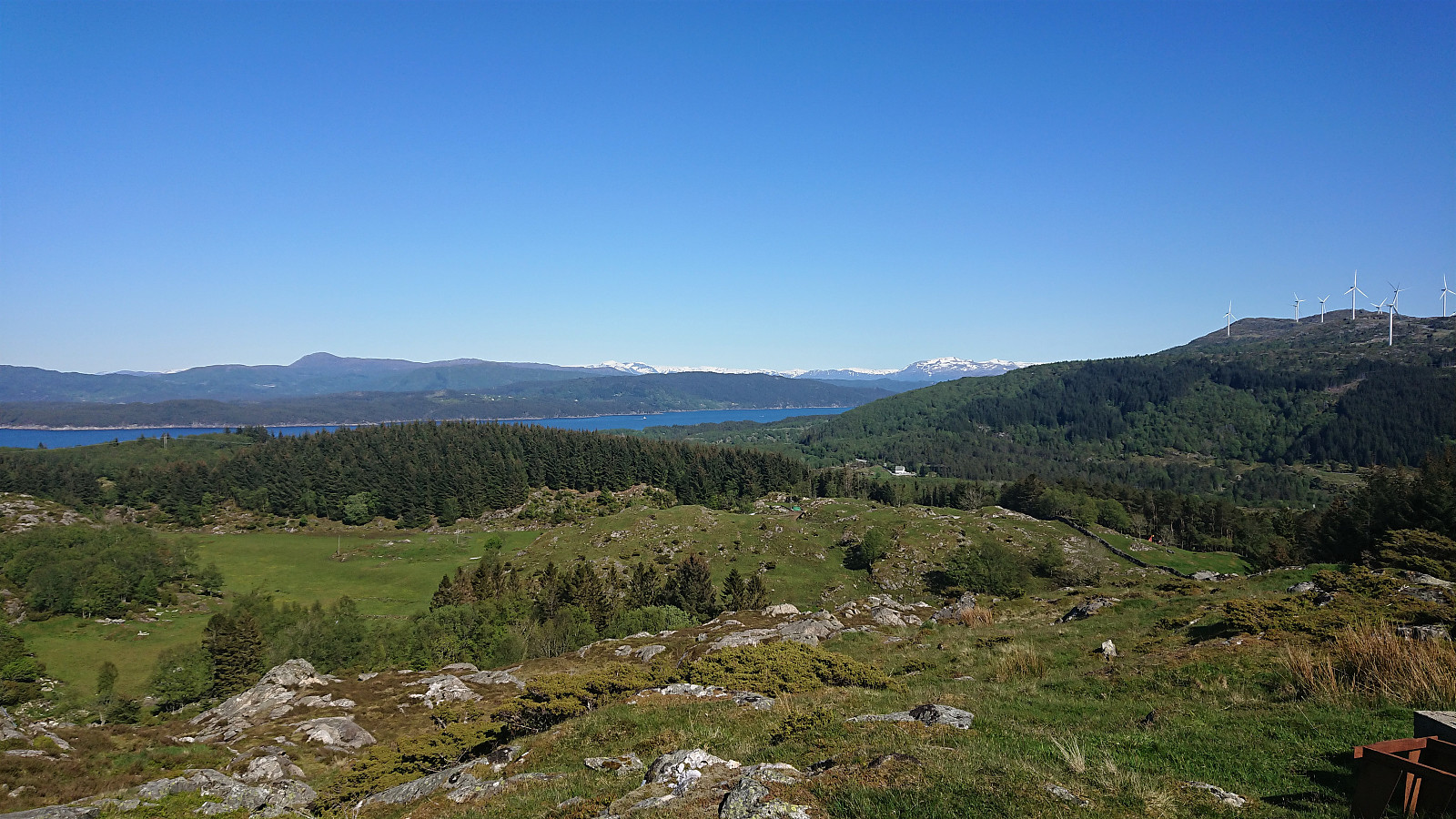
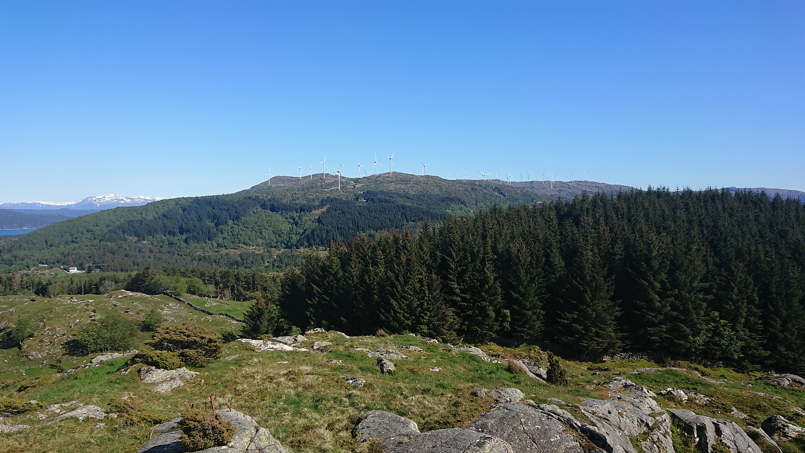
From Landasåto I connected with the gravel road going in between all of the large windmills, which I partly followed on my way to Handfjellsåta. There was a hiking sign for Handfjellsåta to the northwest, but I quickly lost the trail and ended up finding my own way to the summit. Seems like it would perhaps have been easier to follow the gravel road a bit further and ascended from the north.
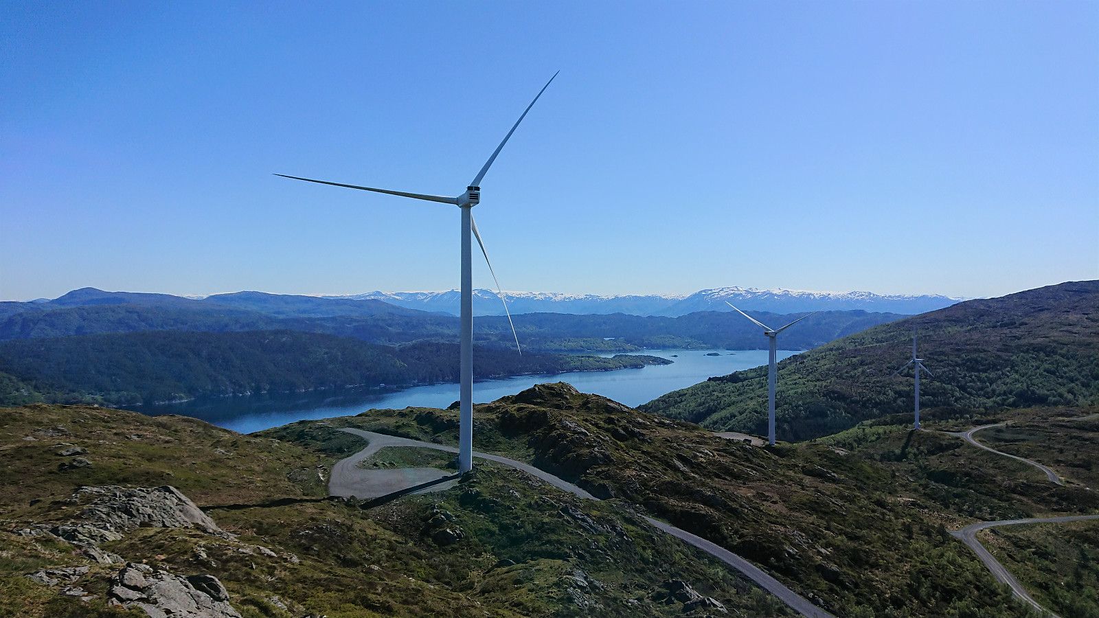
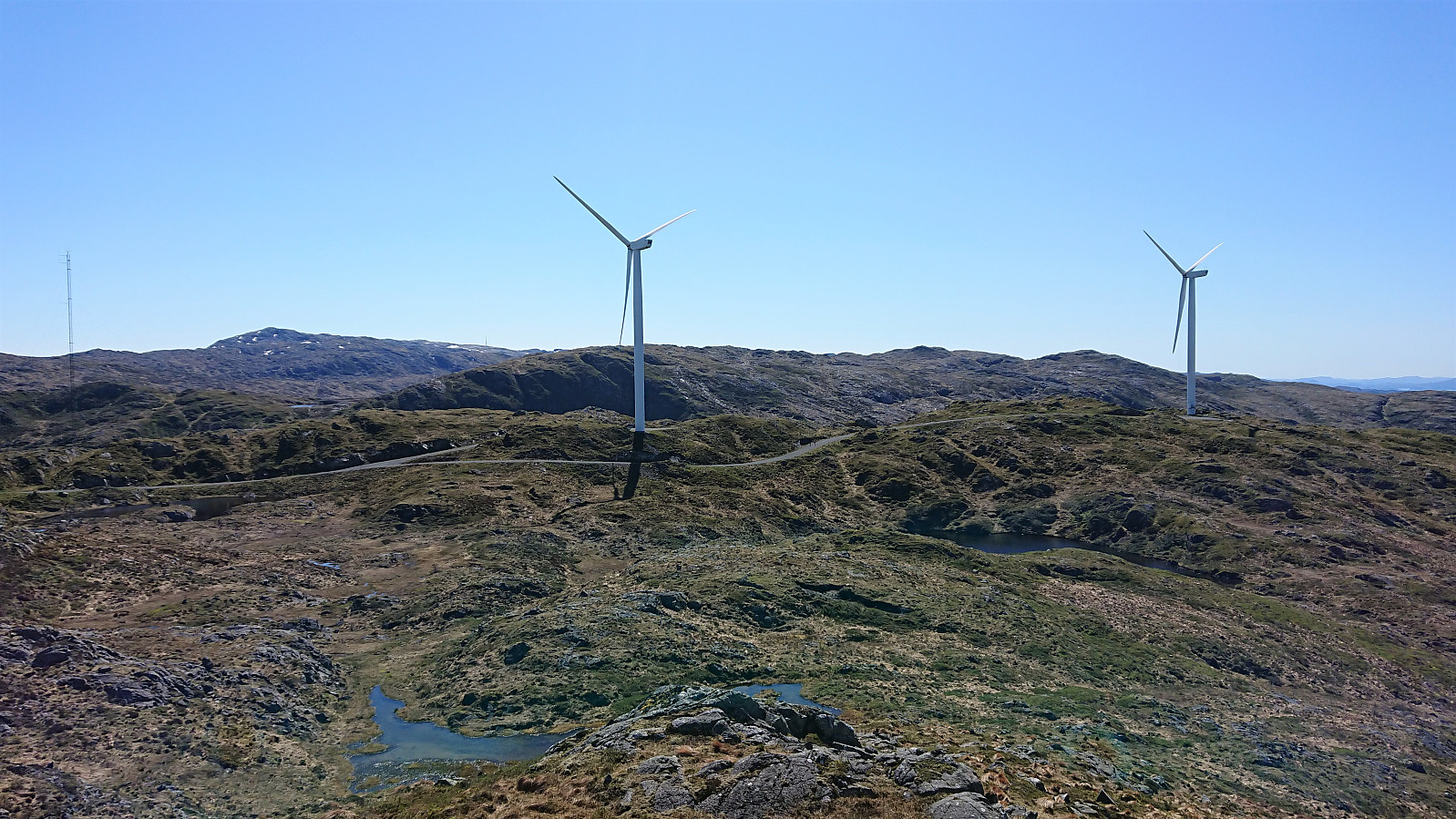
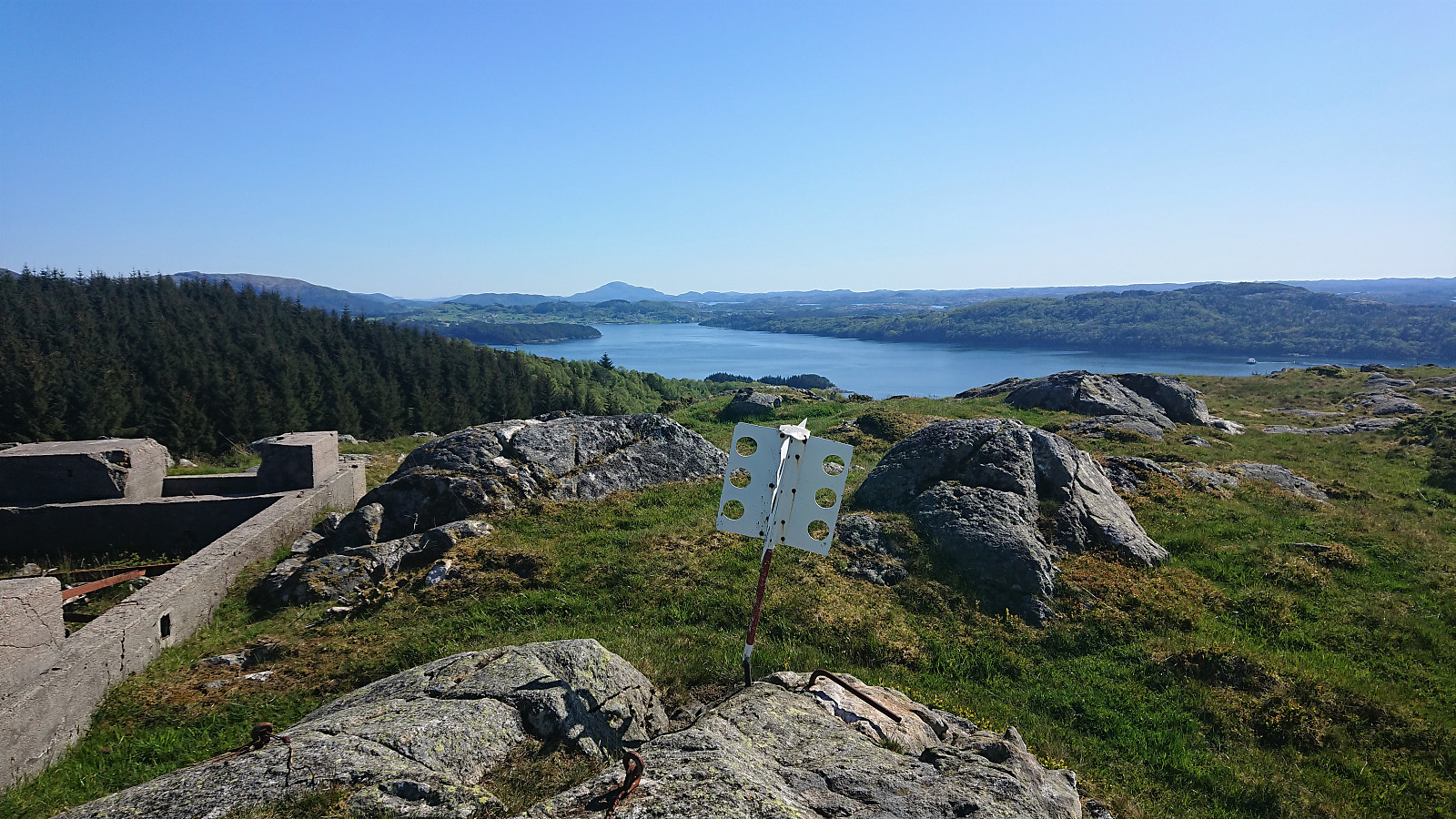
There was also a trail going south back to the road, but again I lost it, or rather consciously left it as I thought it was going in the wrong direction, and partly had to find my own way. At the windmill right next to the road I however reconnected with the trail and quickly arrived at the dam at the western end of Kyrkjevatnet. The map here indicated a trail heading south towards Midtfjellet, but this one I failed to locate and had to make my own way.
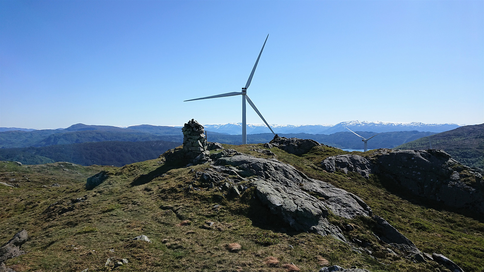
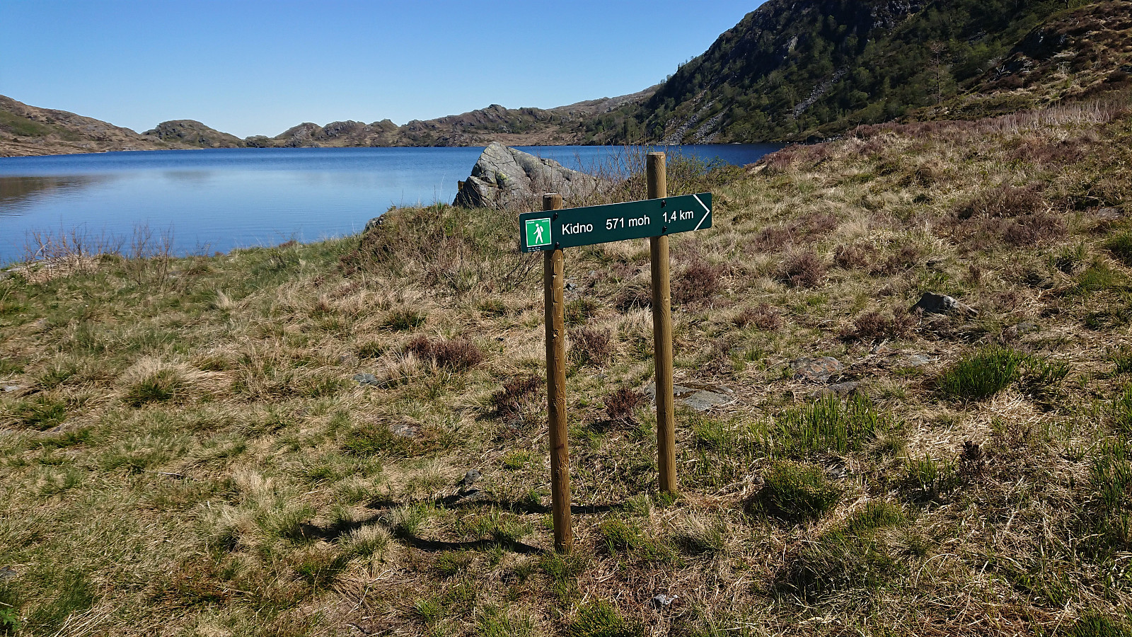
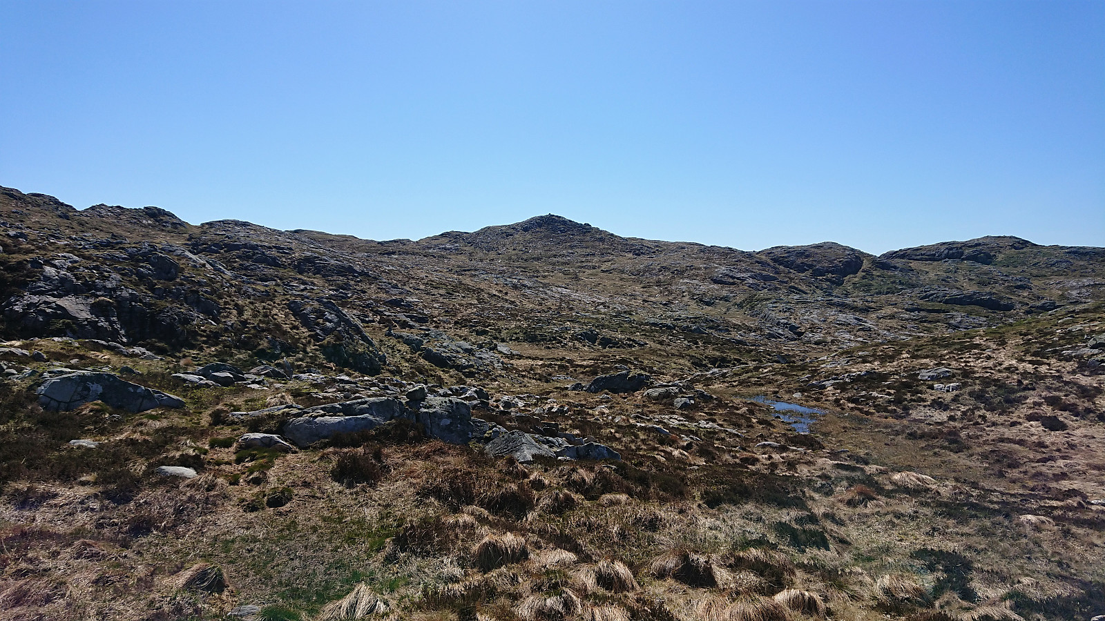
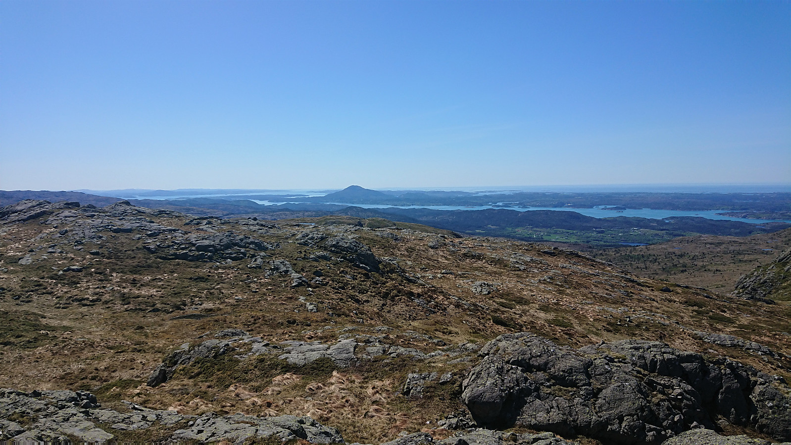
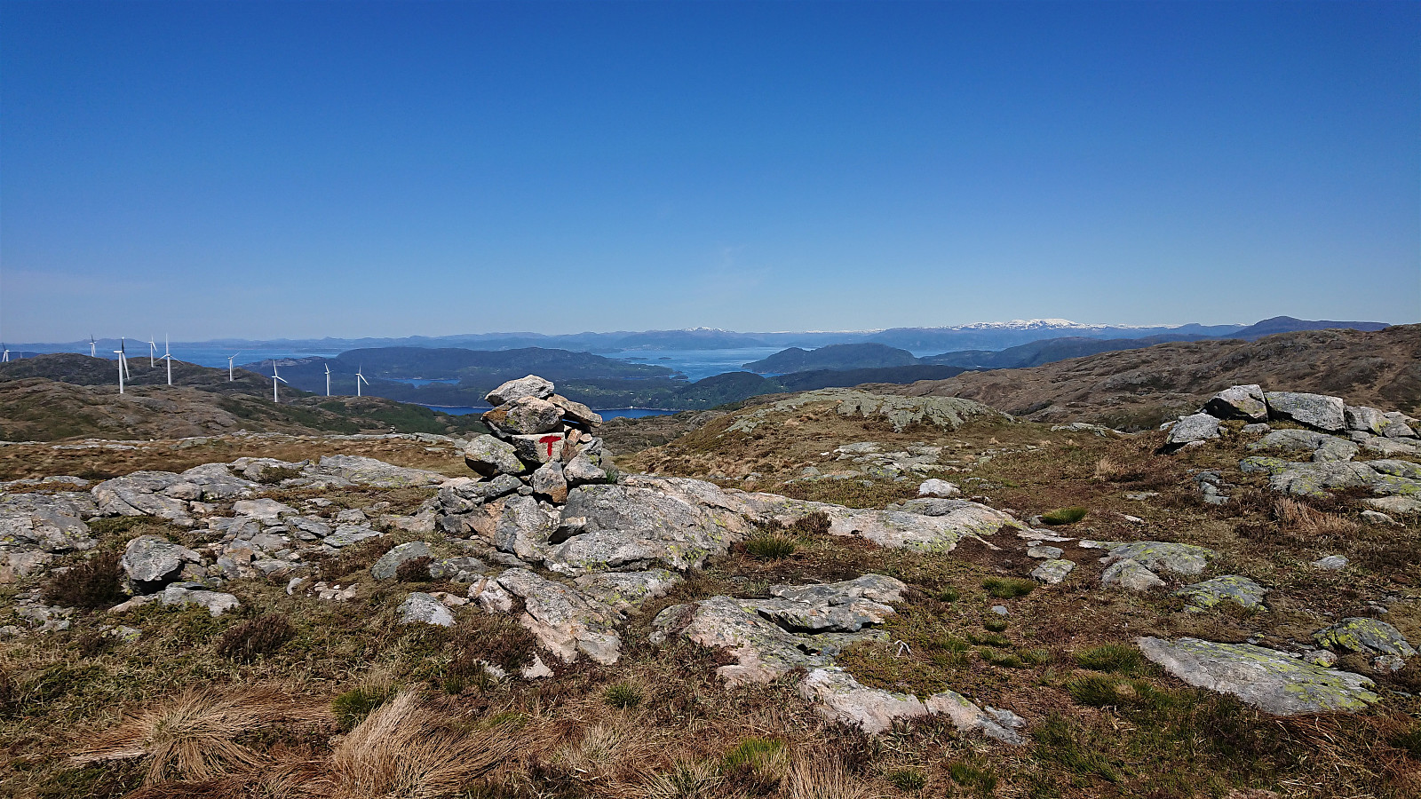
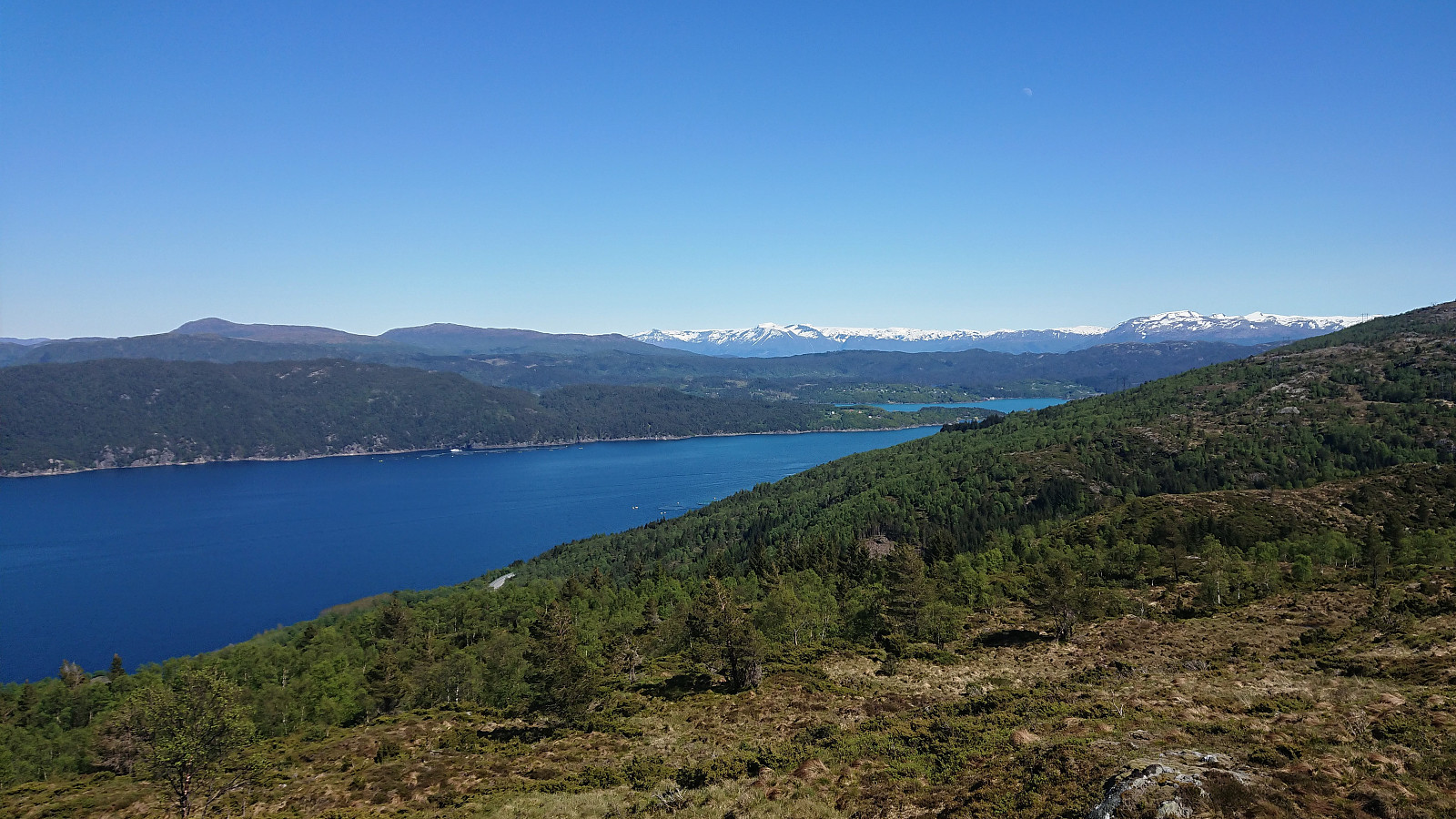
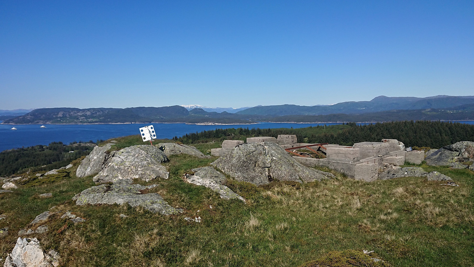
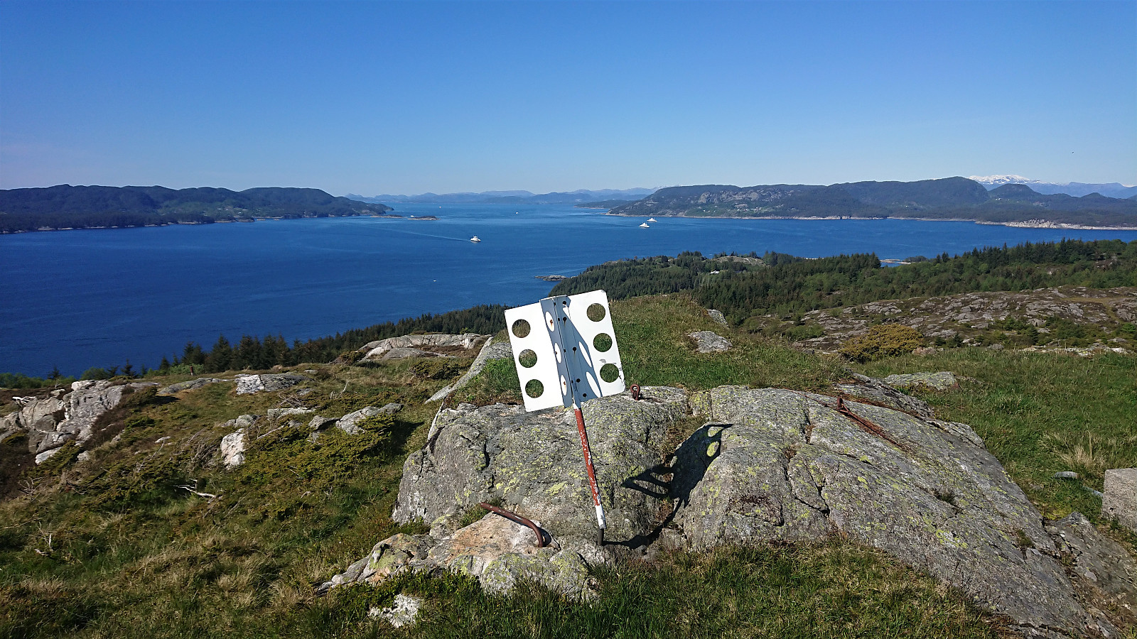
I later connected with the marked trail going west-east, which I followed for a short while, until making my own way to Beintjørnvarden. After a quick lunch break, I followed a trail towards Svartavatnet. In order to reach Kinno, the map only indicated long detours to either the south or north, but just as I was about to see if I could rather find my own more direct route, a marked trail appeared, taking me all the way to Kinno and thus drastically reducing the required distance.
After another short break, I concluded that my initial plan to also visit Klovskardfjellet would have to wait for another day, it was simply too long of a detour, and instead followed the trail north to Kjeringjo, before connecting with the gravel road east of Midtfjellet. From there I walked north along the road all the way to south of Landasåto, where I again rejoined the trail.
Instead of continuing all the way back down to Sandvikvågvegen, I instead followed the trail to Landa, which turned out to be a better and less wet trail than the one I used on the ascent. It did however partly disappear towards the end, but does seem to go more or less where it is indicated on the map.
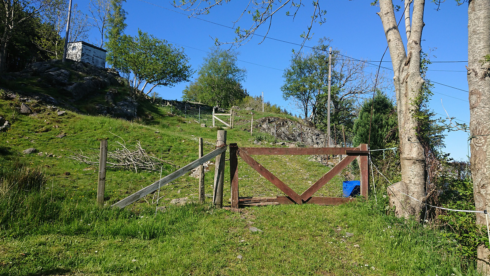
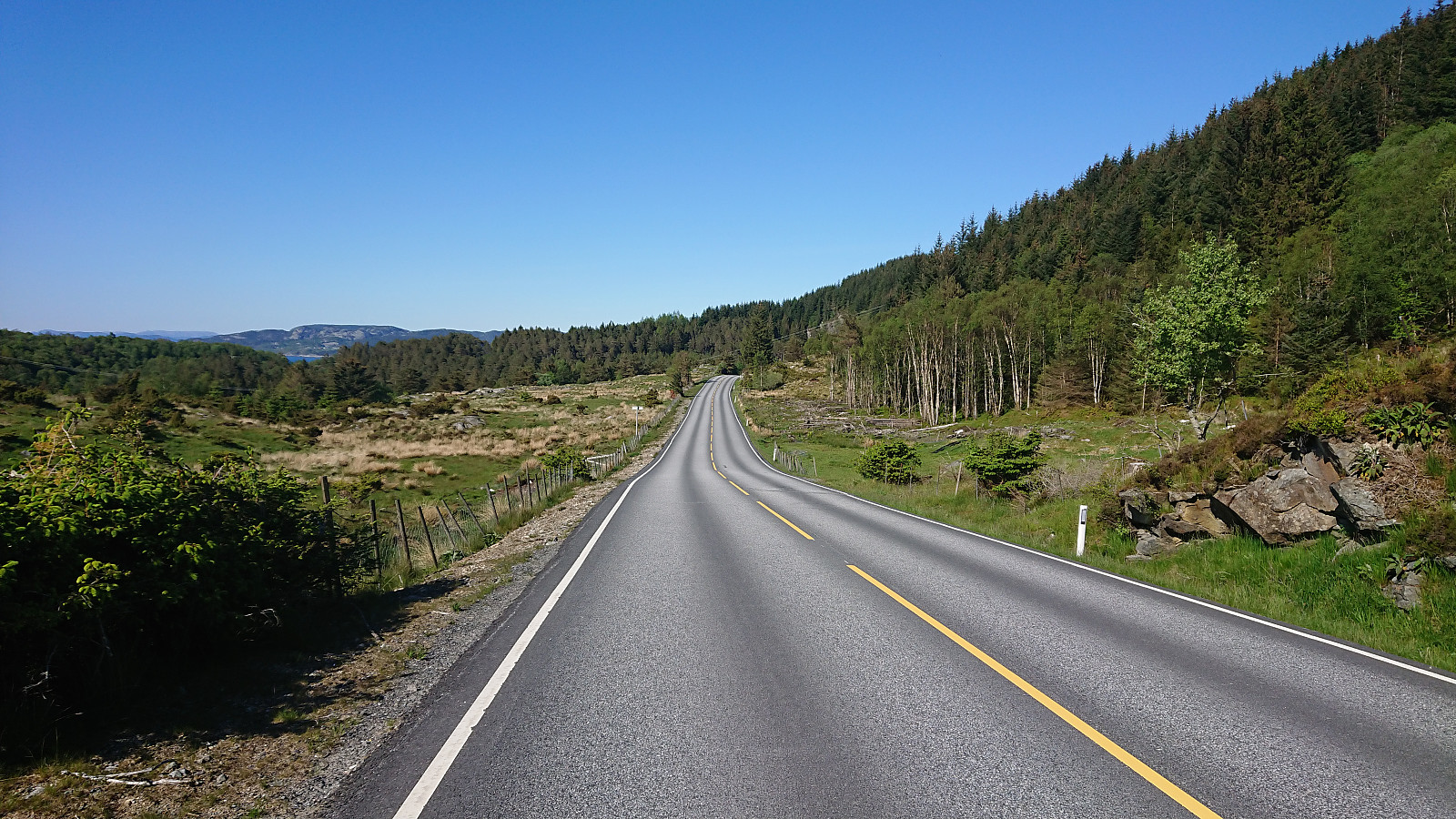
Upon reaching the main road there was still time for my final goal of the day: Tuftalandsfjellet. I was pleasantly surprised to find a sidewalk all the way to the crossroads for Tveit. From there to the trailhead there was no sidewalk, but not really needed on such a small road with limited traffic anyway.
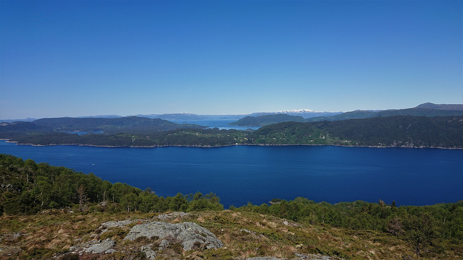
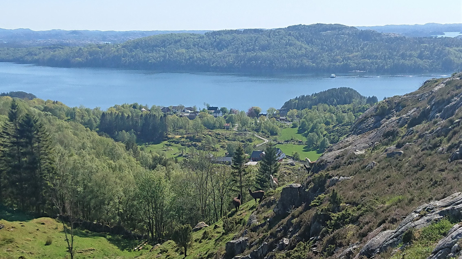
At Tuftaland, I easily located the correct side road and shortly arrived at the tractor road taking me towards Tuftalandsfjellet. When the road ended there was a nice trail, "guarded" by lamas, going all the way to the summit. Excellent views for a summit of only 165 meters above sea level. After a final short break, I returned along the same route back to the main road, which I then followed to Sandvikvåg and the ferry back to Bergen. No sidewalk here, but thankfully limited traffic.
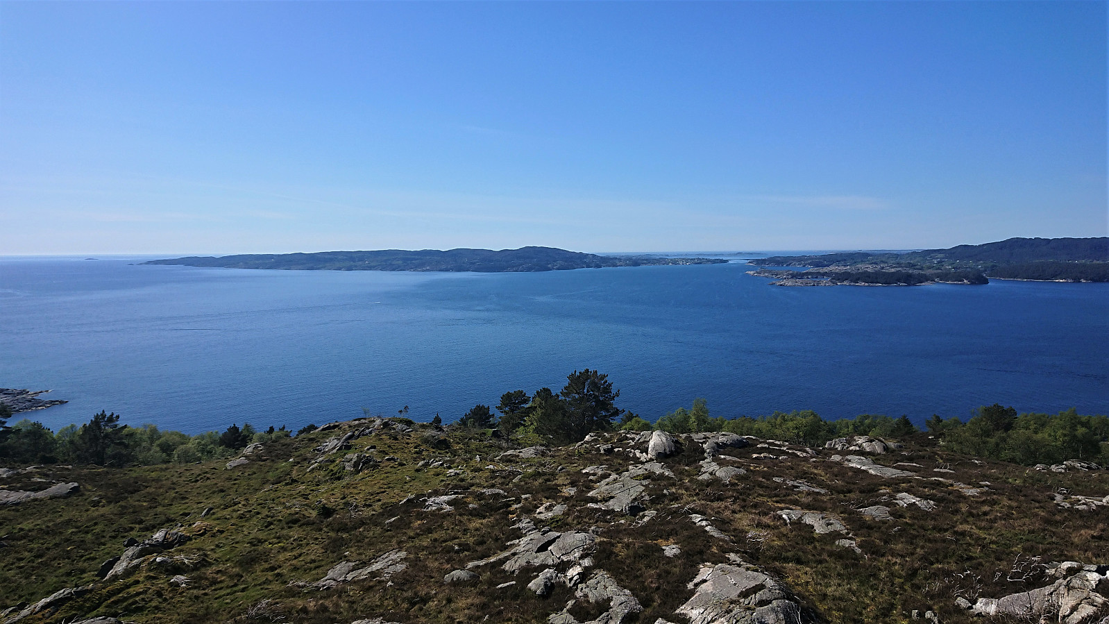
In summary, an excellent hike with spectacular views that can be highly recommended!


| Starttidspunkt | 30.05.2020 08:58 (UTC+01:00 ST) |
| Sluttidspunkt | 30.05.2020 17:50 (UTC+01:00 ST) |
| Totaltid | 8t 51min |
| Bevegelsestid | 8t 03min |
| Pausetid | 0t 48min |
| Snittfart totalt | 3,7km/t |
| Snittfart bevegelsestid | 4,1km/t |
| Distanse | 32,7km |
| Høydemeter | 1581m |


Kommentarer