
Teiglandsnuten, Vestrefjellet and Ilefjellet from Våge (30.11.2019)

Geschrieben von hbar (Harald Barsnes)

| Startpunkt | Våge kai (3m) |
|---|---|
| Endpunkt | Våge kai (3m) |
| Tourcharakter | Bergtour |
| Tourlänge | 4h 45min |
| Entfernung | 15,8km |
| Höhenmeter | 952m |
| GPS |
|
| Besteigungen | Ilefjellet (452m) | 30.11.2019 |
|---|---|---|
| Teiglandsnuten (350m) | 30.11.2019 | |
| Vestrefjellet (380m) | 30.11.2019 | |
| Besuche anderer PBE | Ilefjellet turbok-kasse (442m) | 30.11.2019 |
Teiglandsnuten, Vestrefjellet and Ilefjellet from Våge
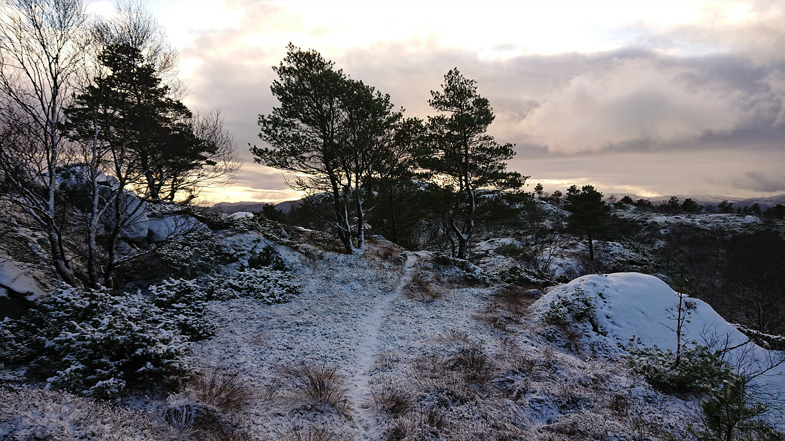
Teiglandsnuten
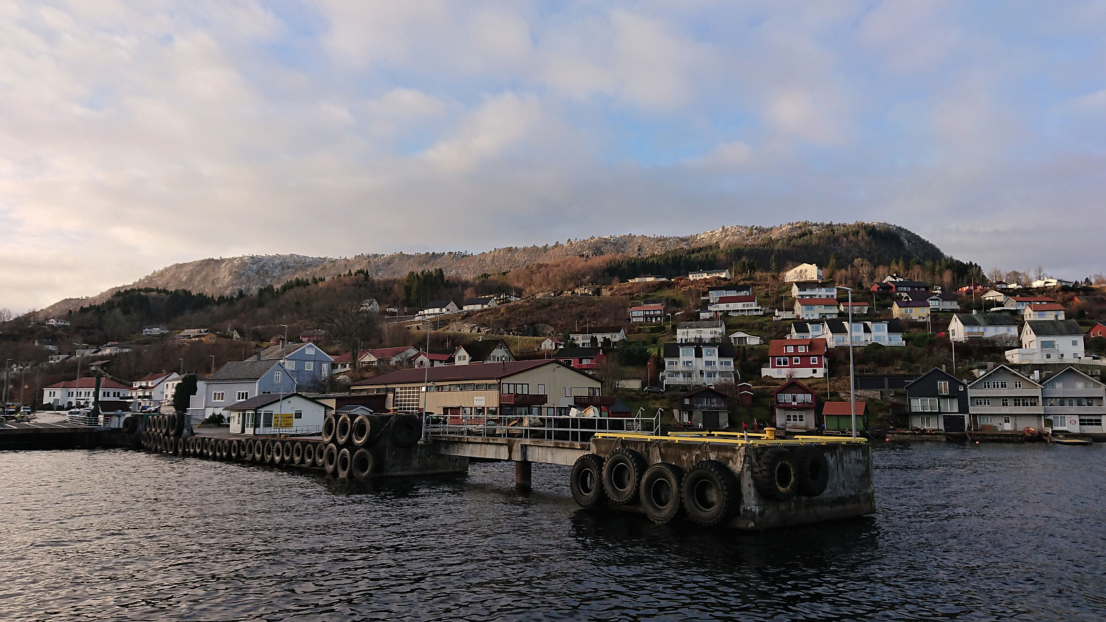
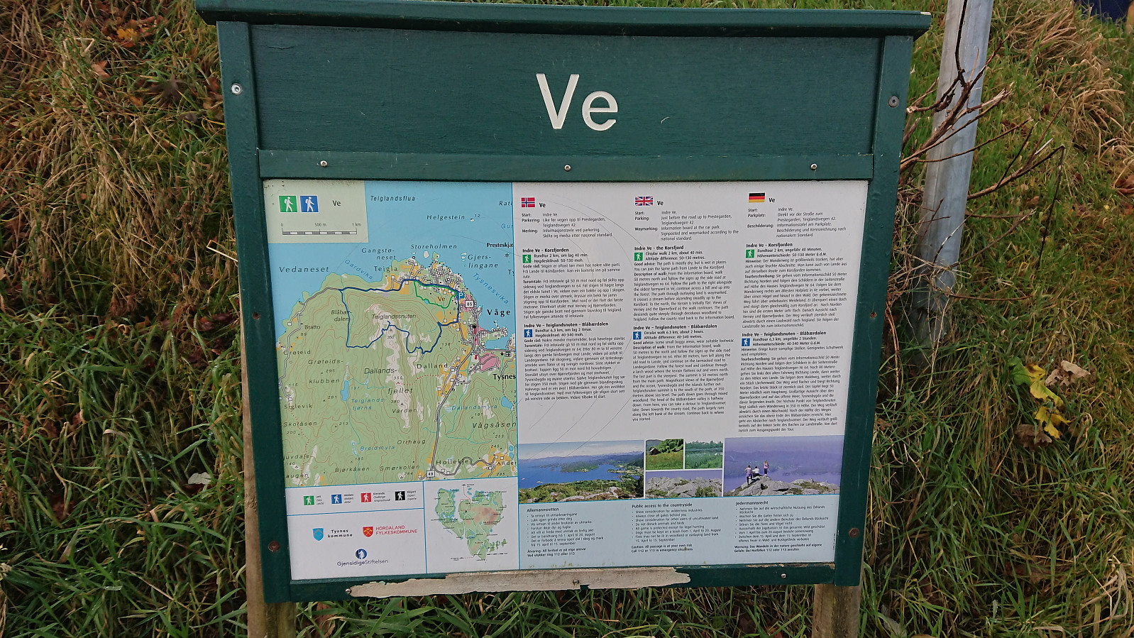
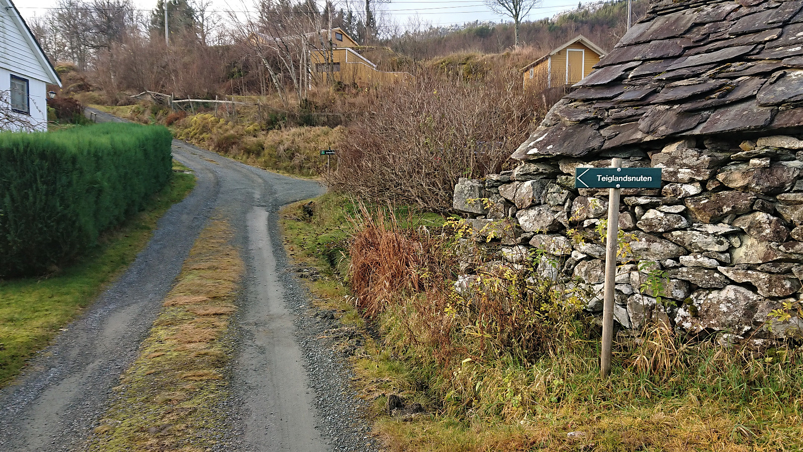
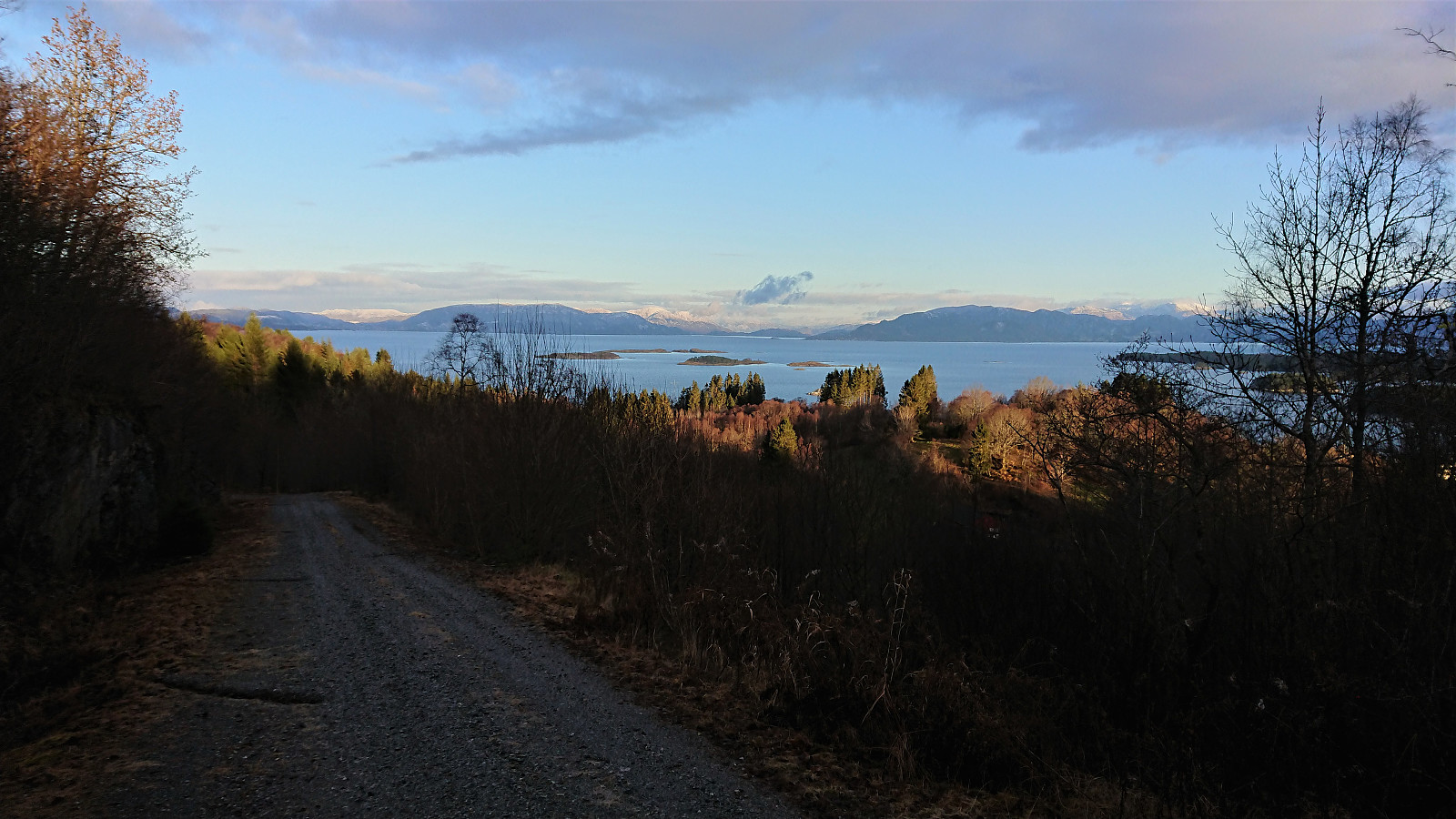
Started by taking the bus to Haljem and then the ferry to Våge. Upon arriving at Våge I followed the roads to Ve, where I easily located the marked trailhead for Teiglandsnuten. Turned out that I could just as well have followed the road to Lande directly, but there was not much of a difference between the two options anyway.
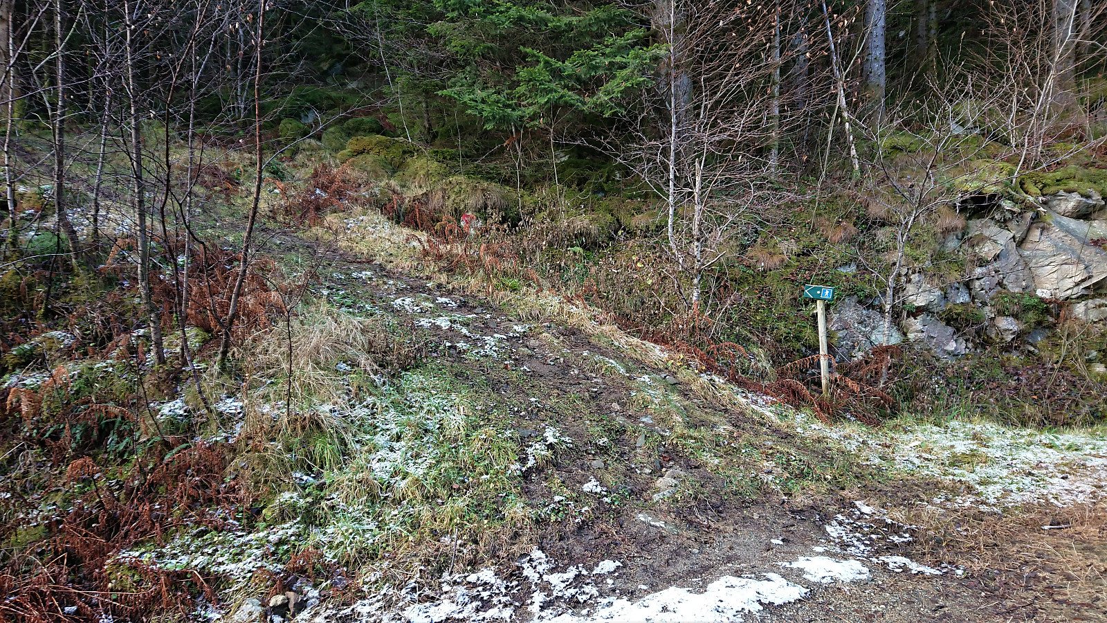
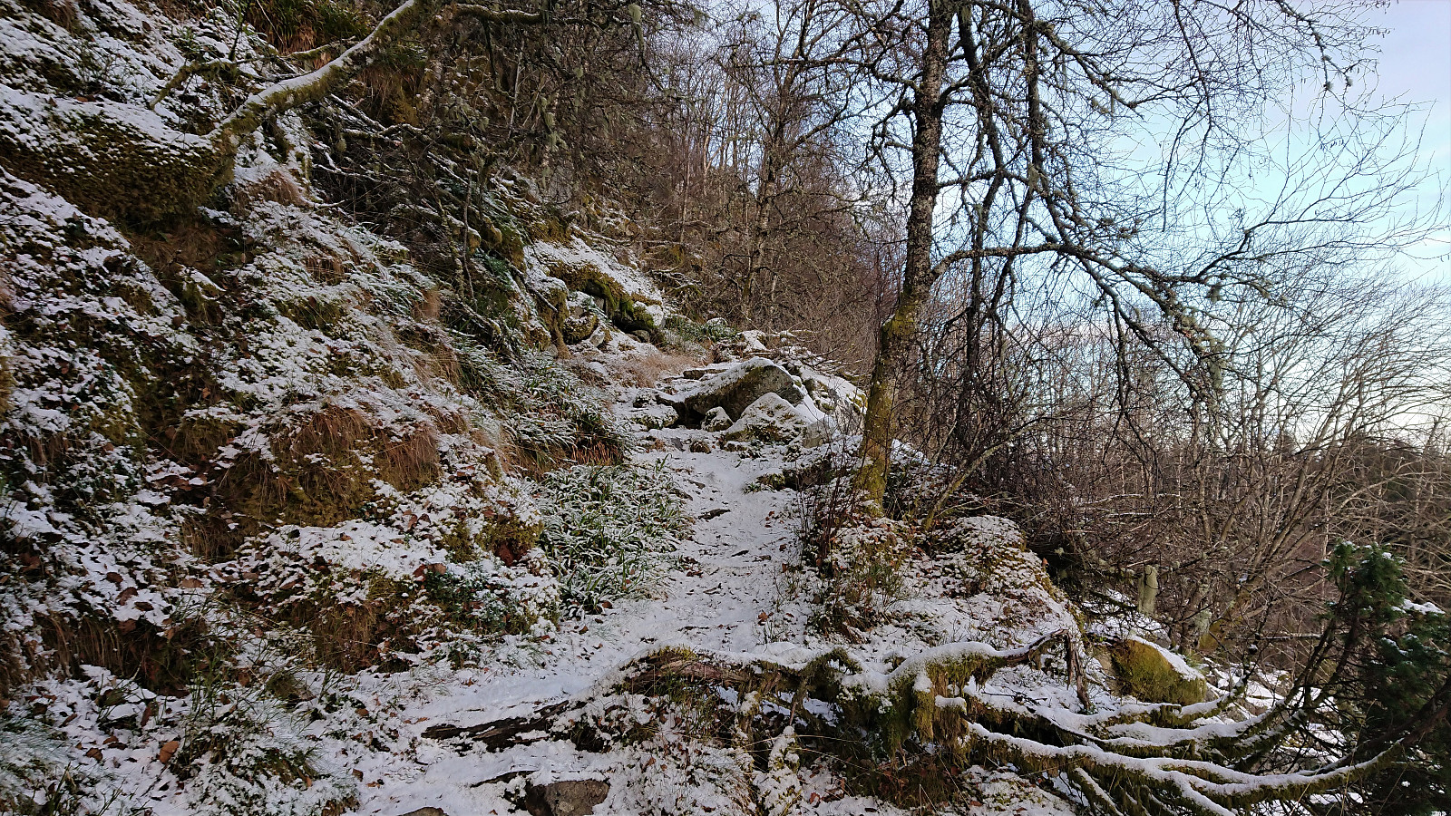
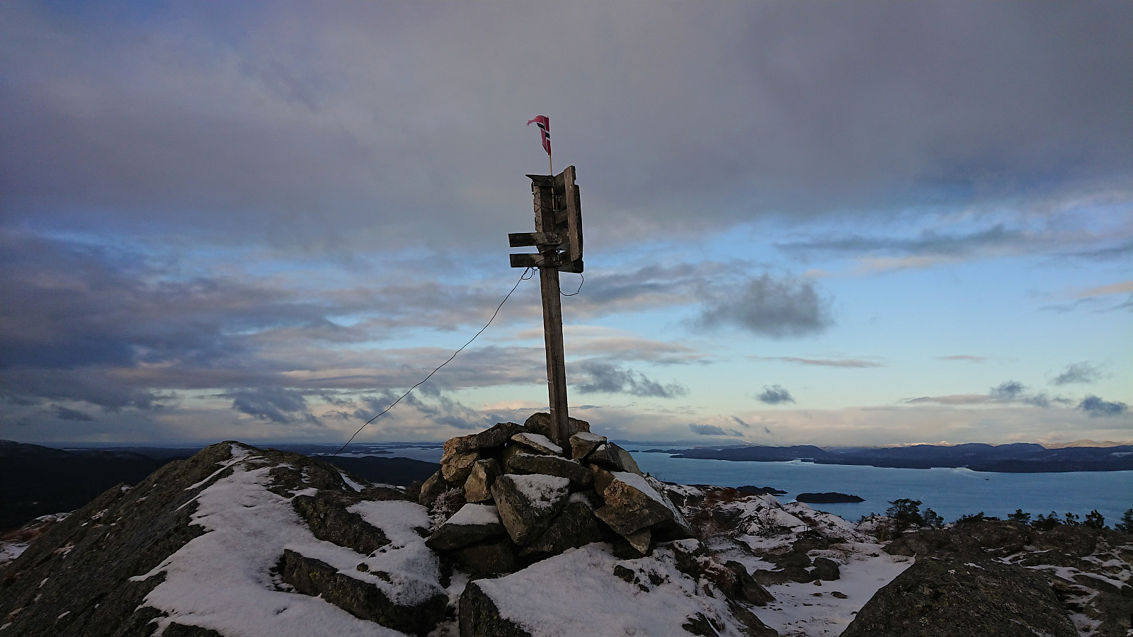
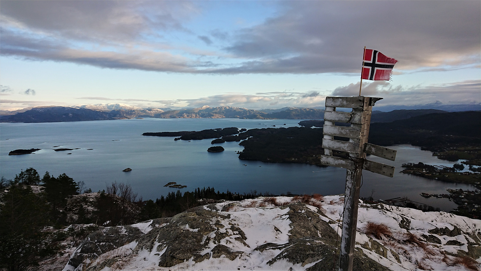
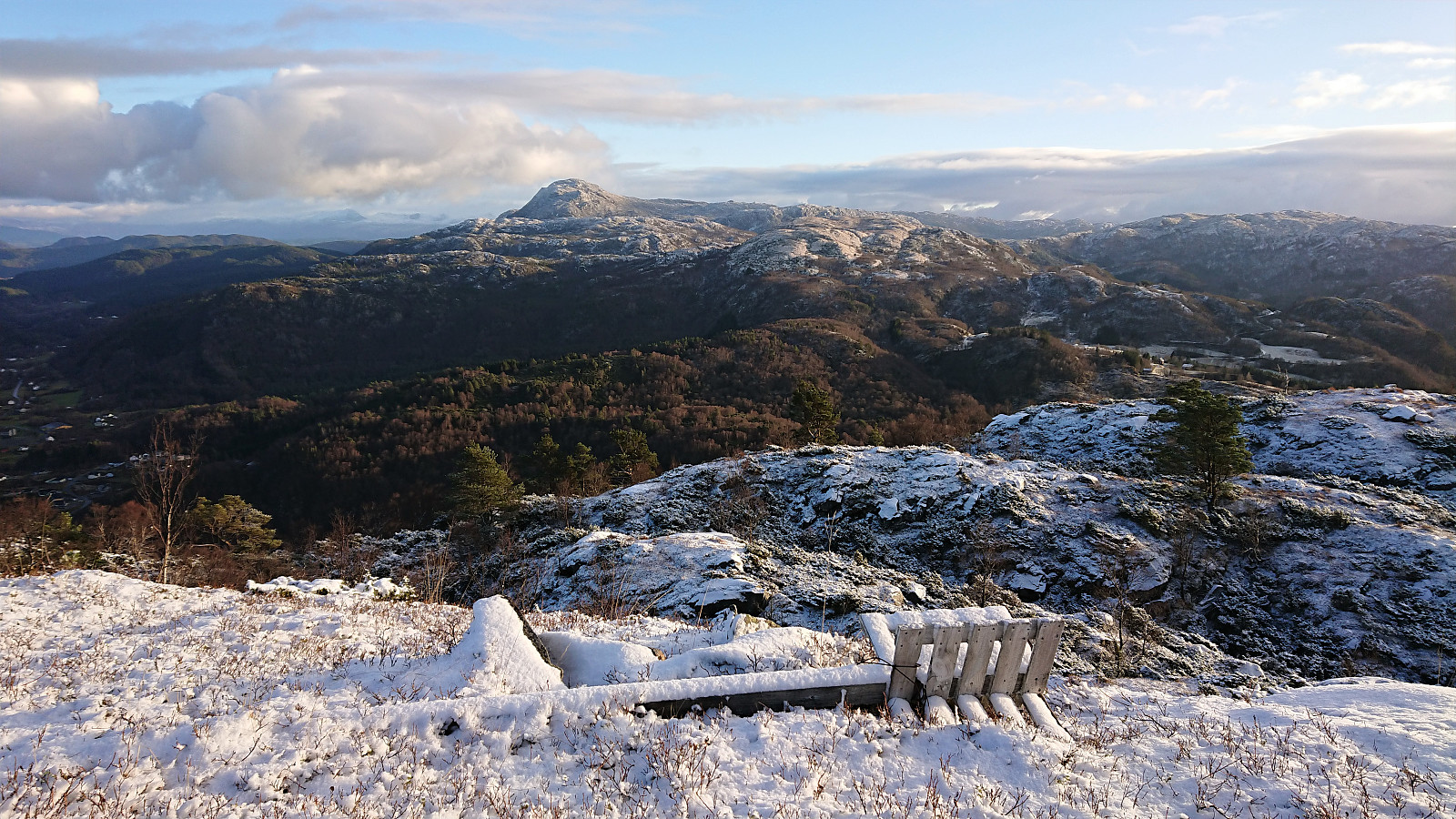
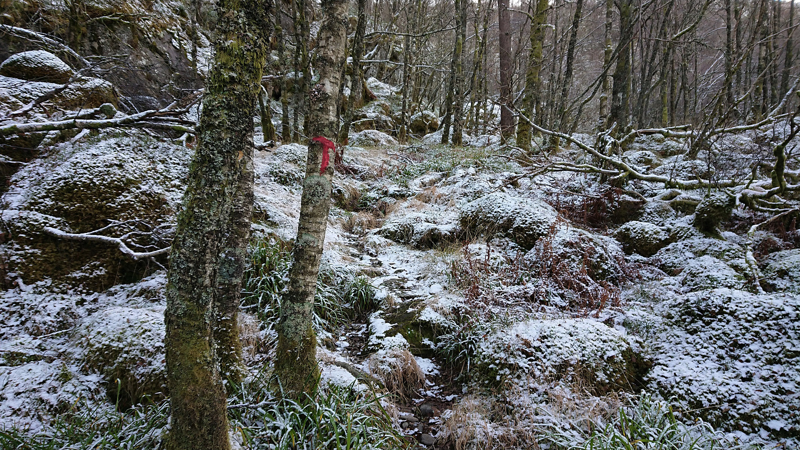
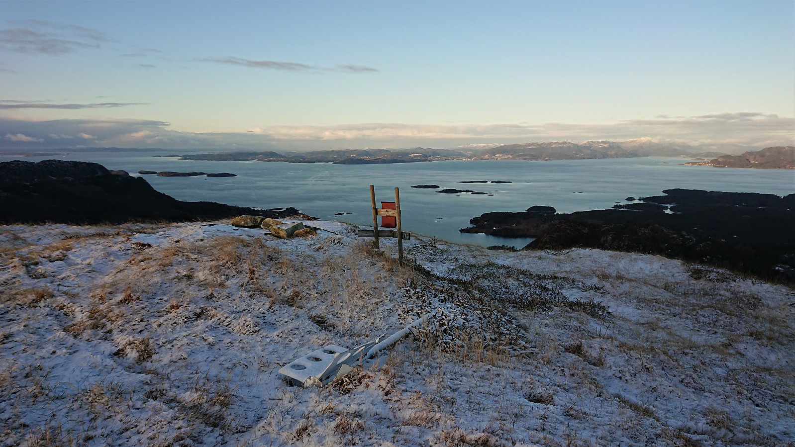
The gravel road soon turned into a marked trail. However at some point I seem to have left the trail indicated on the information sign at the start of the hike, as I ended up approaching the summit of Teiglandsnuten from the south, not from the north as shown on the sign. I did follow a trail though, so this option can also be recommended. Excellent views from the summit, which also included a visitor register.
Vestrefjellet
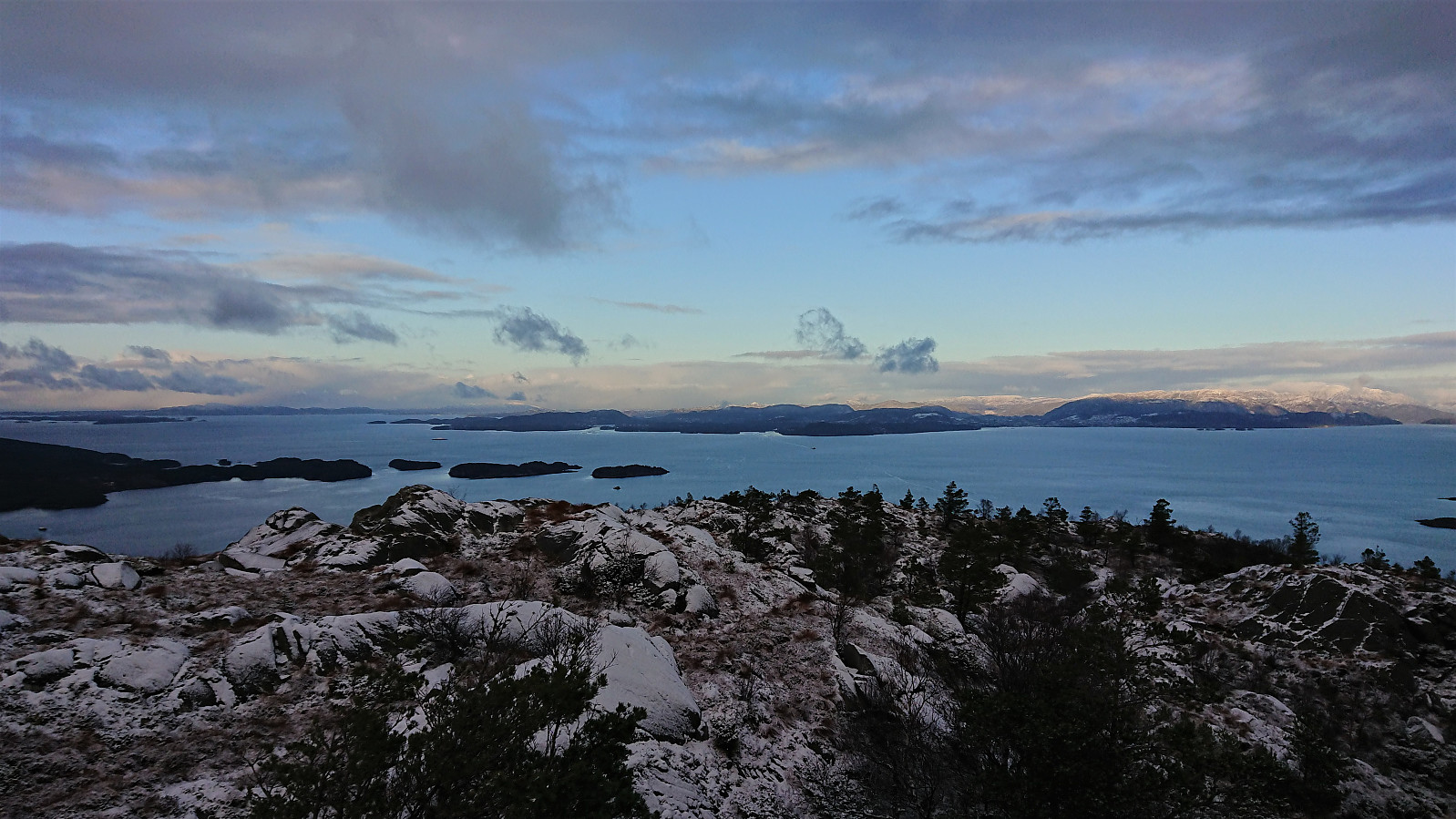
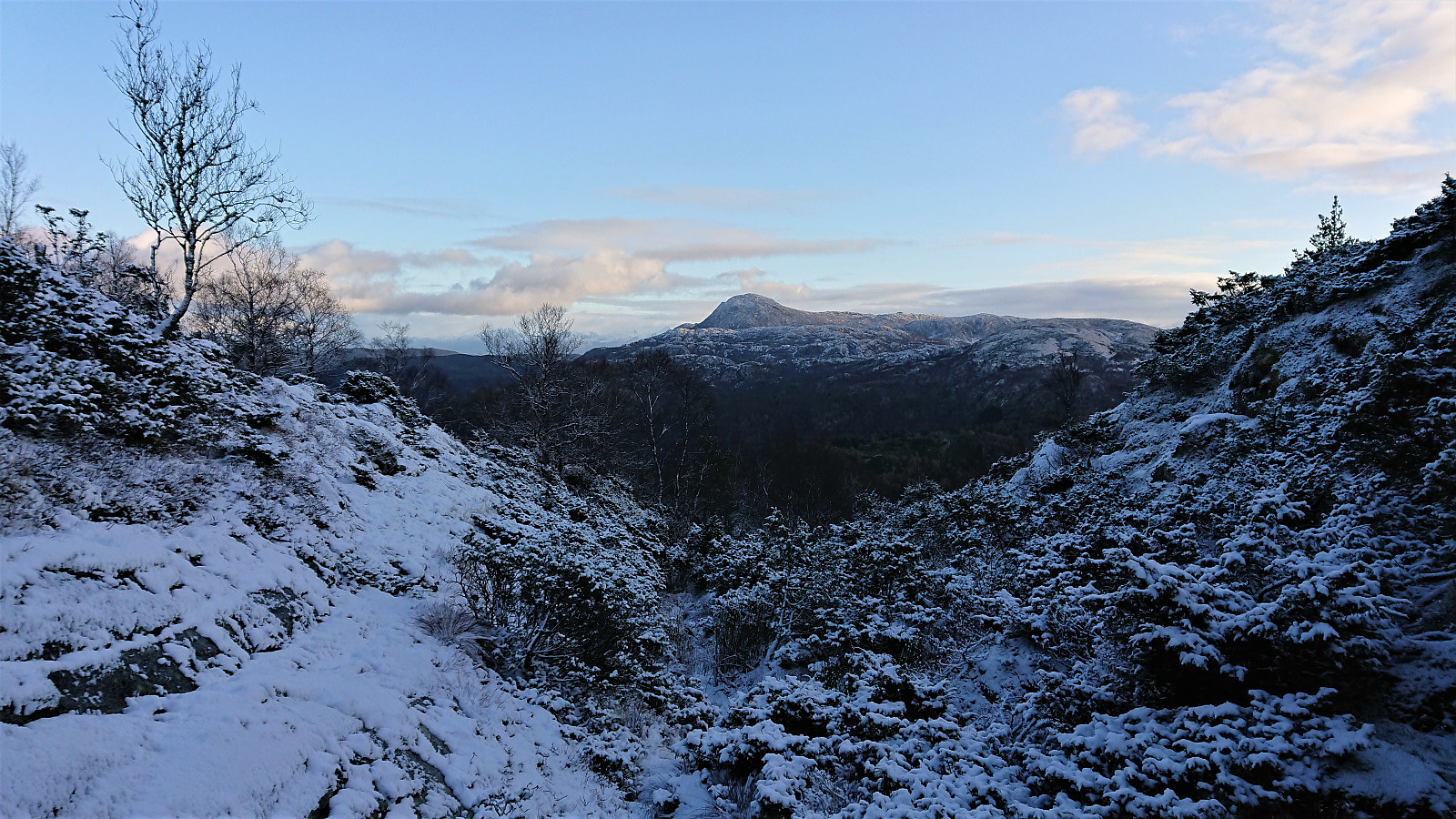
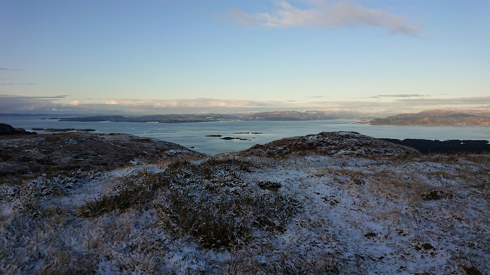
My plan was now to follow the ridge south to Vestrefjellet. If there were any proper trails I did not find any, but at times I came across short stretches of weak trails, most likely animal tracks. Perhaps these would have been easier to follow if not for the snow. The partial trails/tracks did simplify the progress though. Overall, getting from Teiglandsnuten to Vestrefjellet took slightly longer than expected, but in the end did not provide any real difficulties and only a low number of fights with the low vegetation.
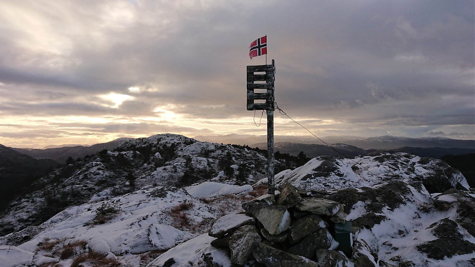
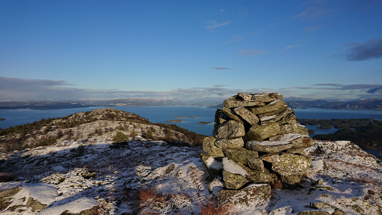
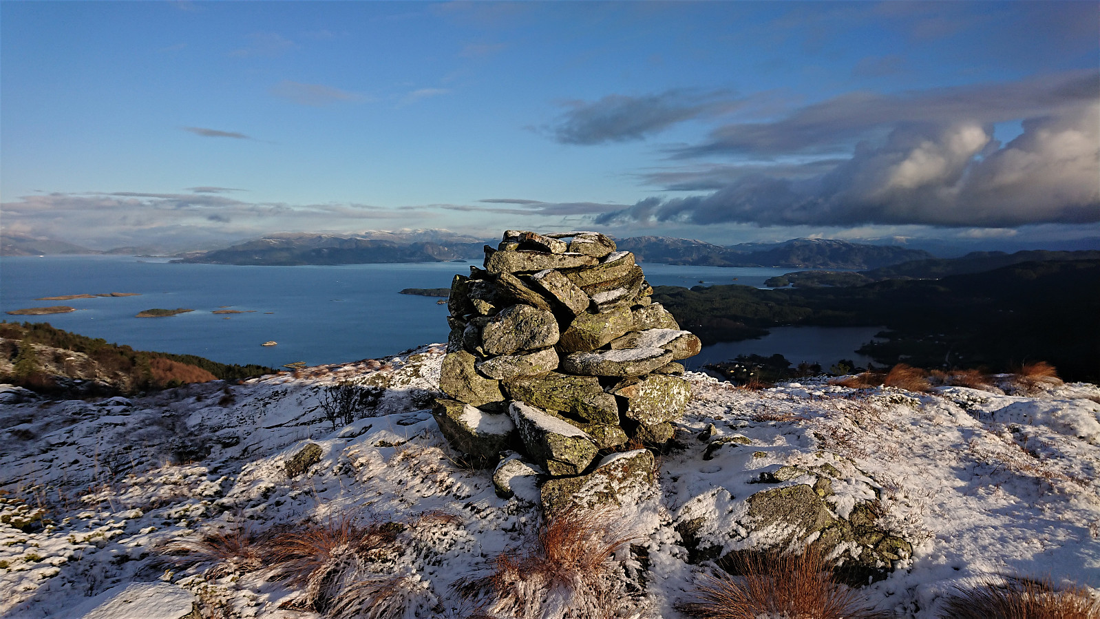
In the small valley between the 355 hill (north of the summit) and the summit itself, I found a weak trail that could be followed the rest of the way to the large cairn at Vestrefjellet. As far as I could tell the cairn is located at the highest point, while the PB-element is located (close to) where the trig marker used to be standing. Excellent views from both the cairn and the trig marker.
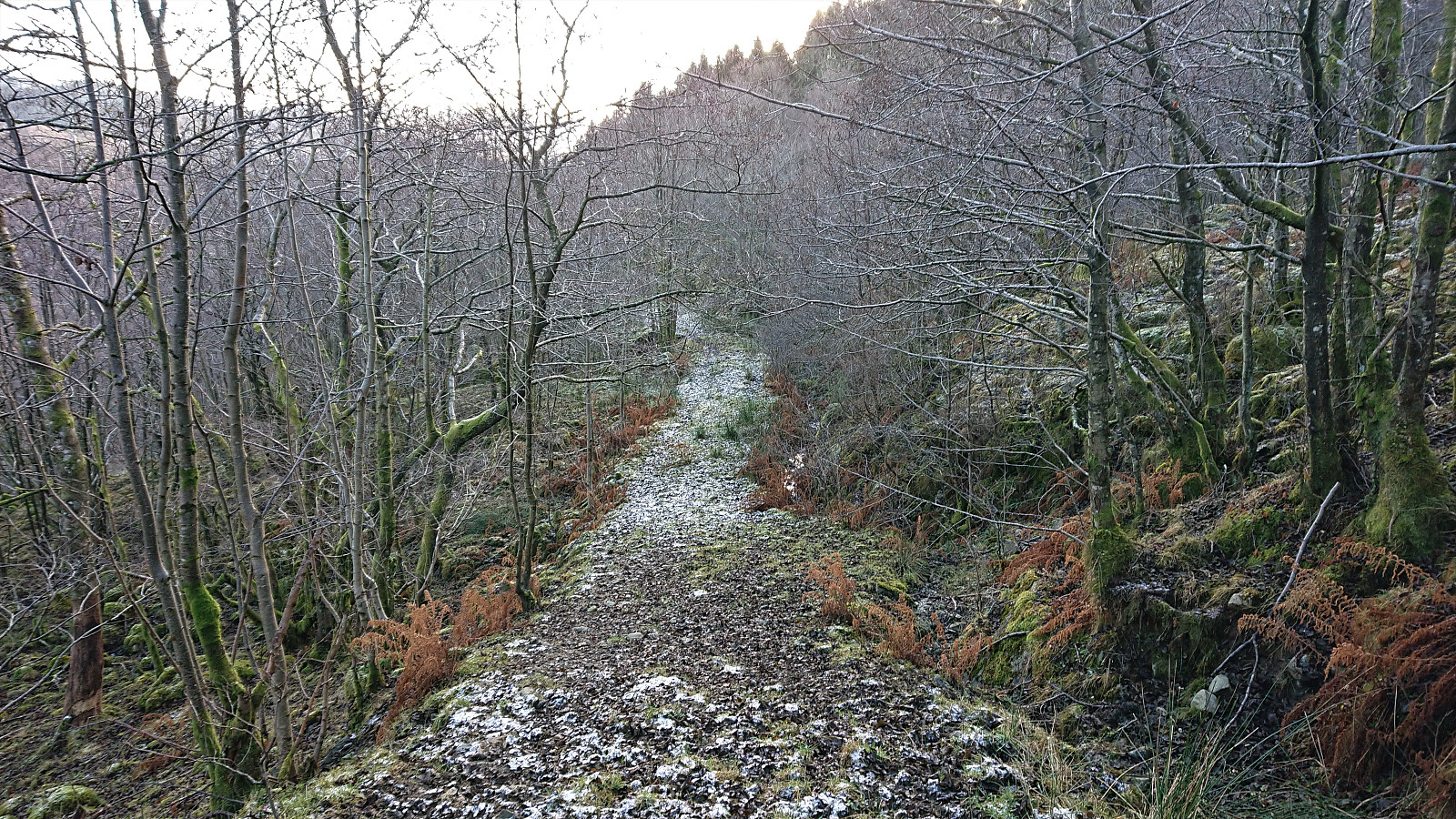
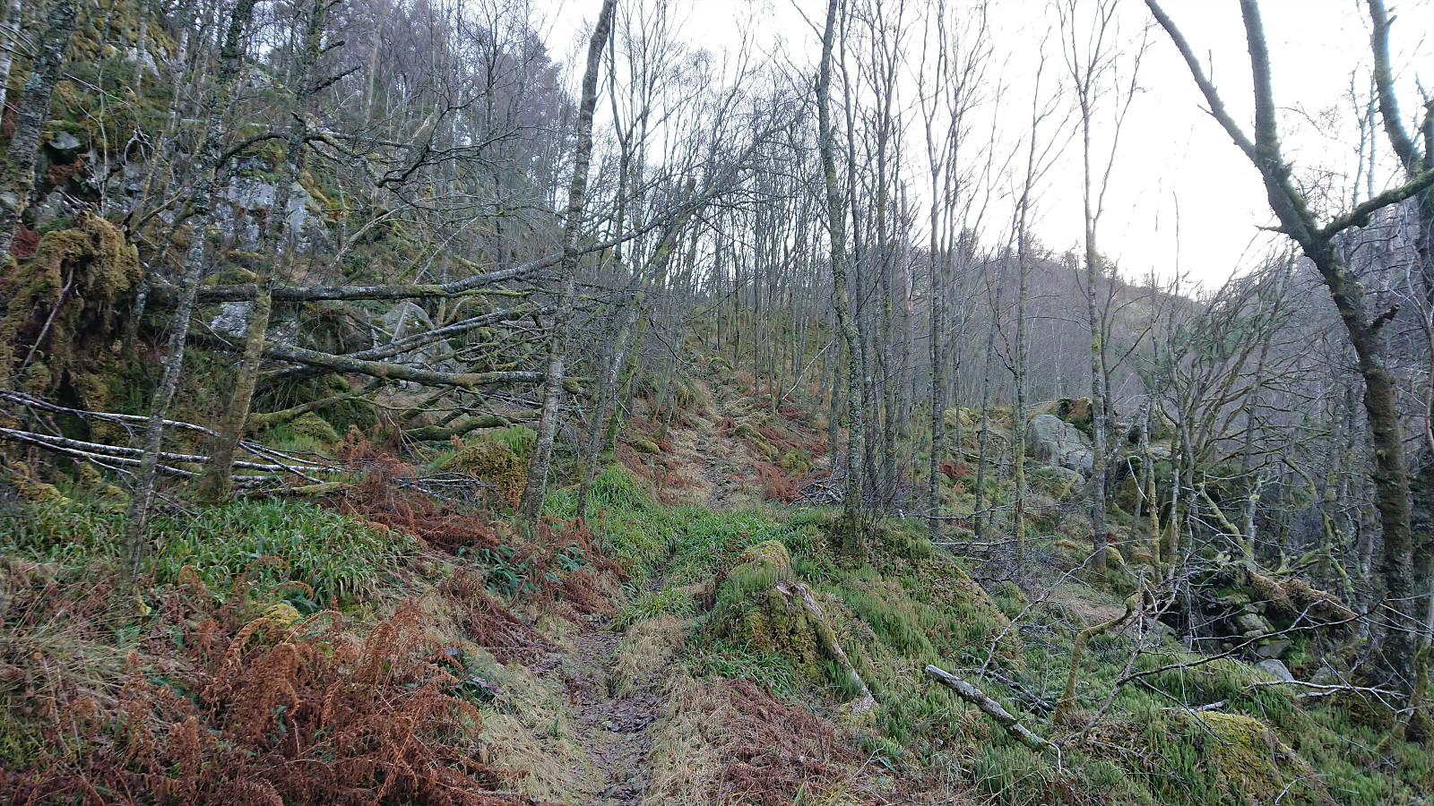
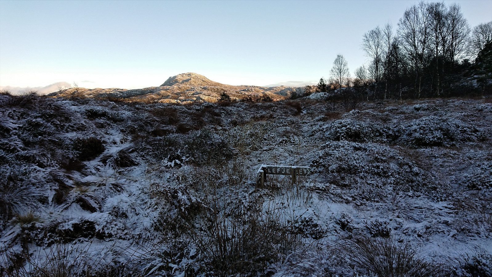
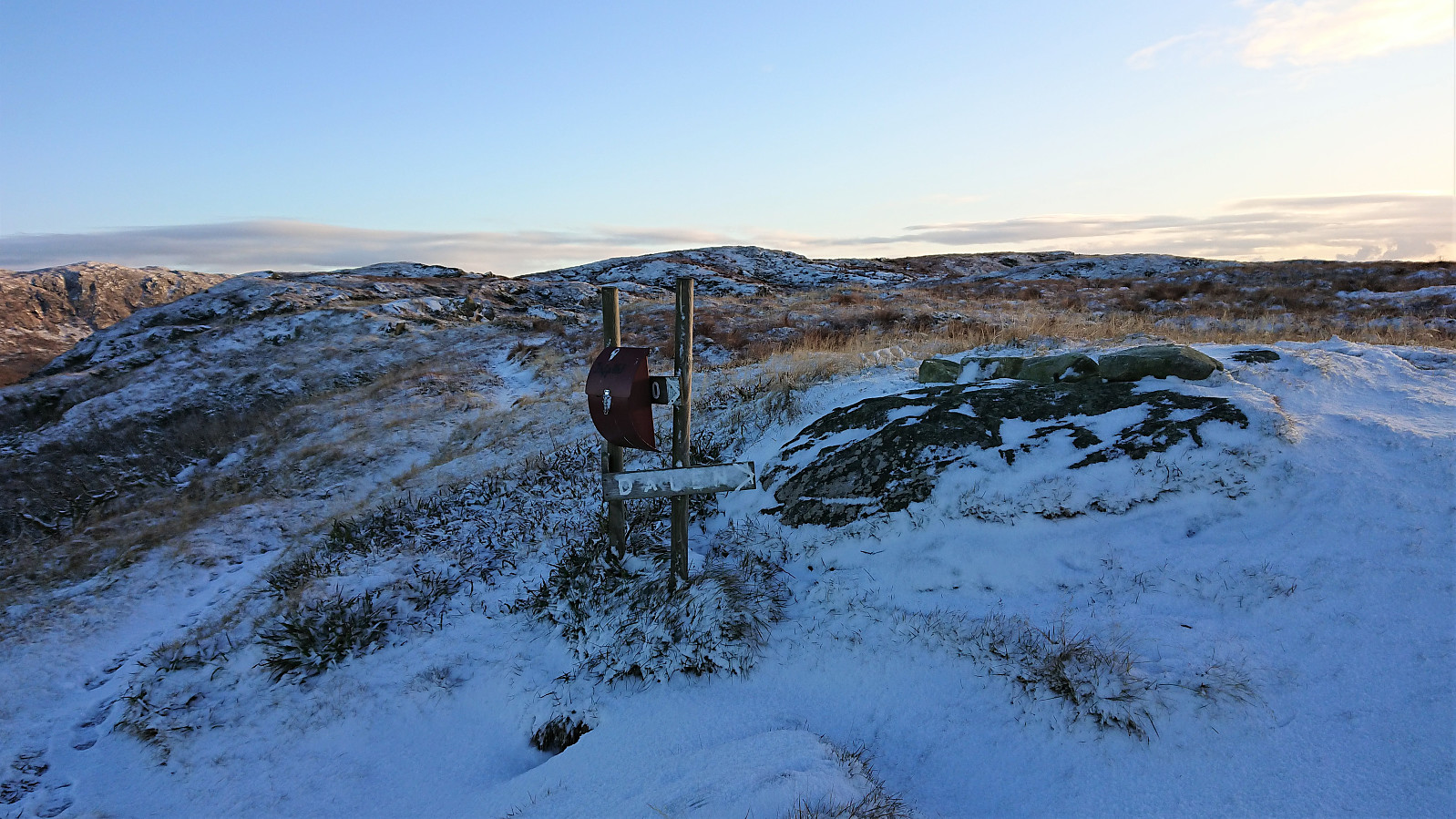
I returned to the valley north of the summit, with the plan to follow the trail indicated there for my descent to Dalland. Not the clearest trail I've come across, but there was a trail. At least at the start. It did not take long before it disappeared though, or maybe I took a wrong turn somewhere. I therefore ended up having to make my own way down to the tractor road above Dalland, which I then proceeded to follow to the main road.
Ilefjellet
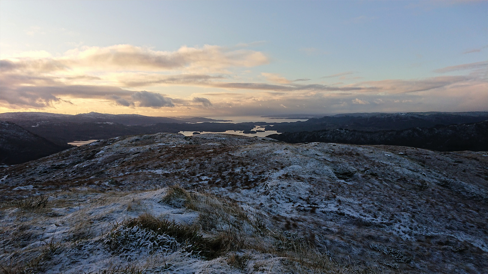
My next and final goal was Ilefjellet. I considered heading south along the road to Hollekje and ascend from there, but given that this required a longer walk along the road, I instead turned north in order to ascend from Vågsmarka as initially planned. The unmarked gravel road north of Vågstjørna was easily located and shortly after passing the small lake the first trail markers appeared.
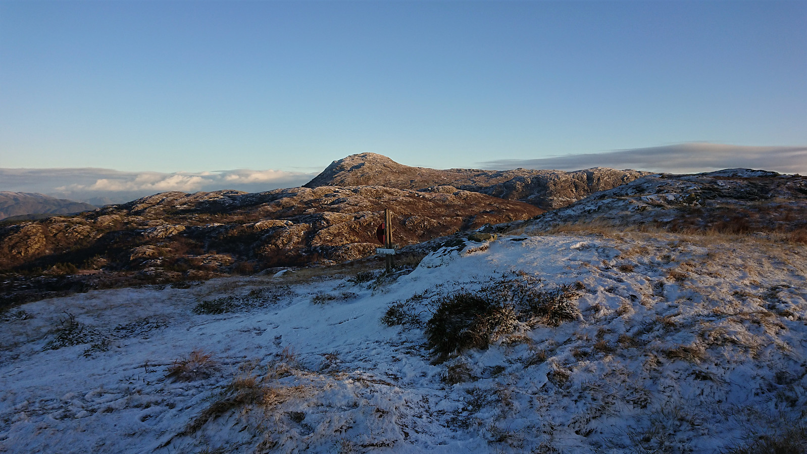
The map seemed to indicate that I ought to follow the trail southeast beyond the summit and make the final ascent from there. But just as I was starting to consider where to leave the marked trail and make my own way toward the summit, a sign for Ilefjellet appeared. The longer detour was in other words not required, and I shortly arrived at the visitor register northwest of the summit.
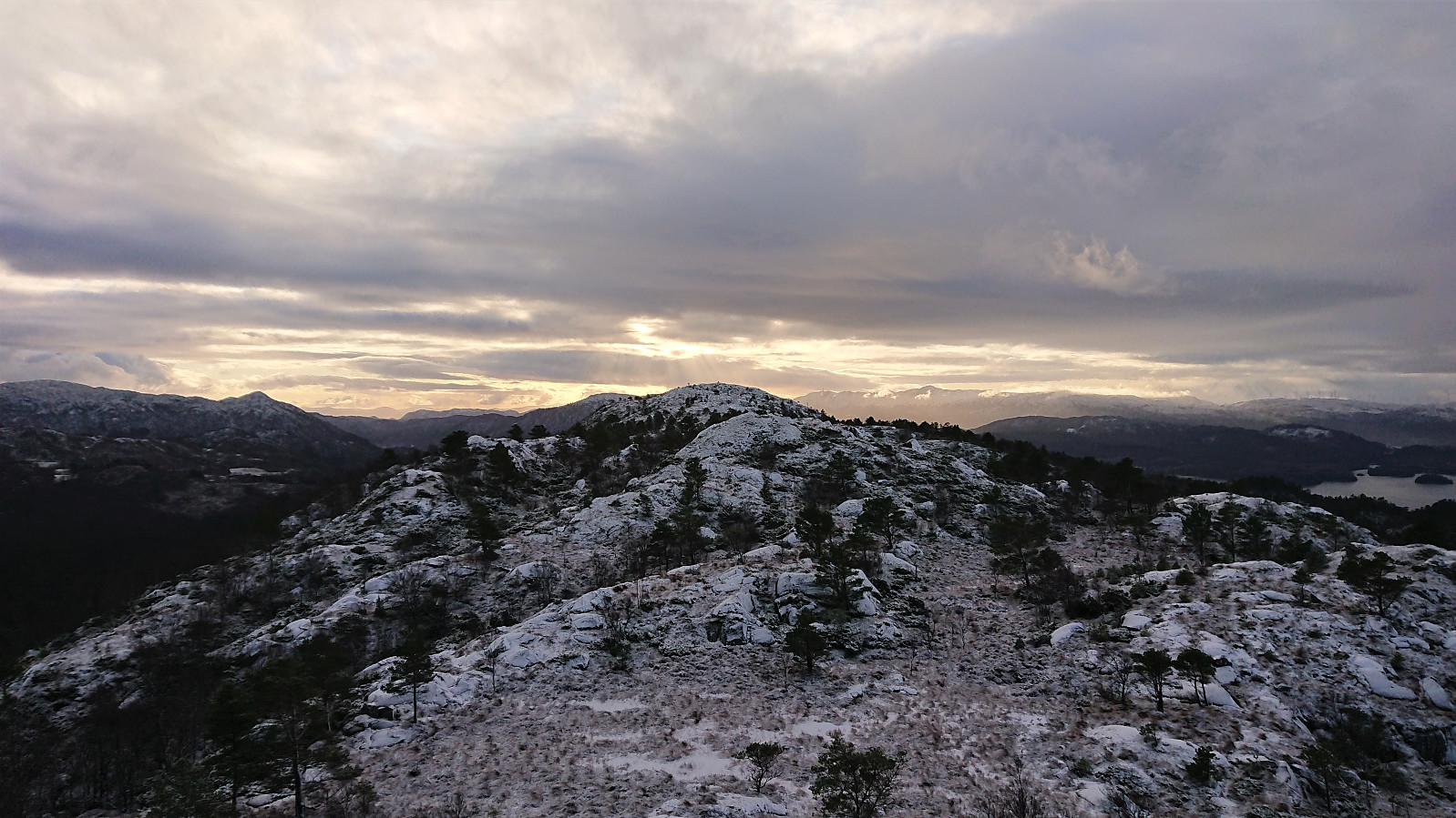
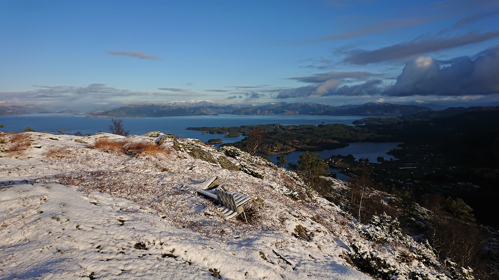
The marked trail did not head to the summit itself, but rather continued southeast. To see if there were different/better views there, I first continued in that direction myself, before finally making my way to the summit, which provided excellent views in all directions.
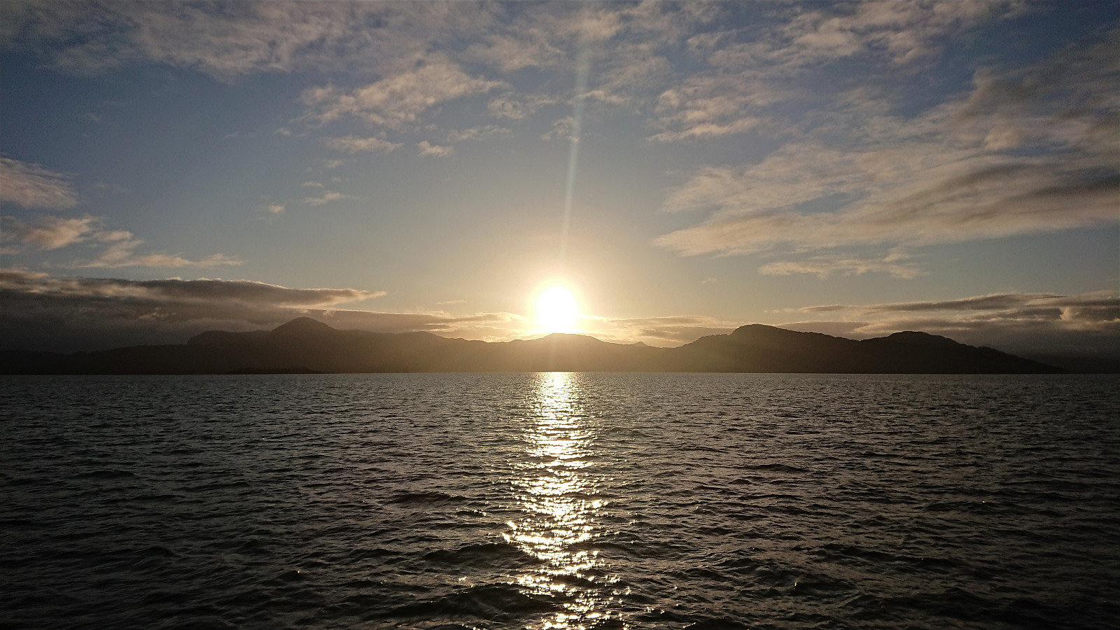
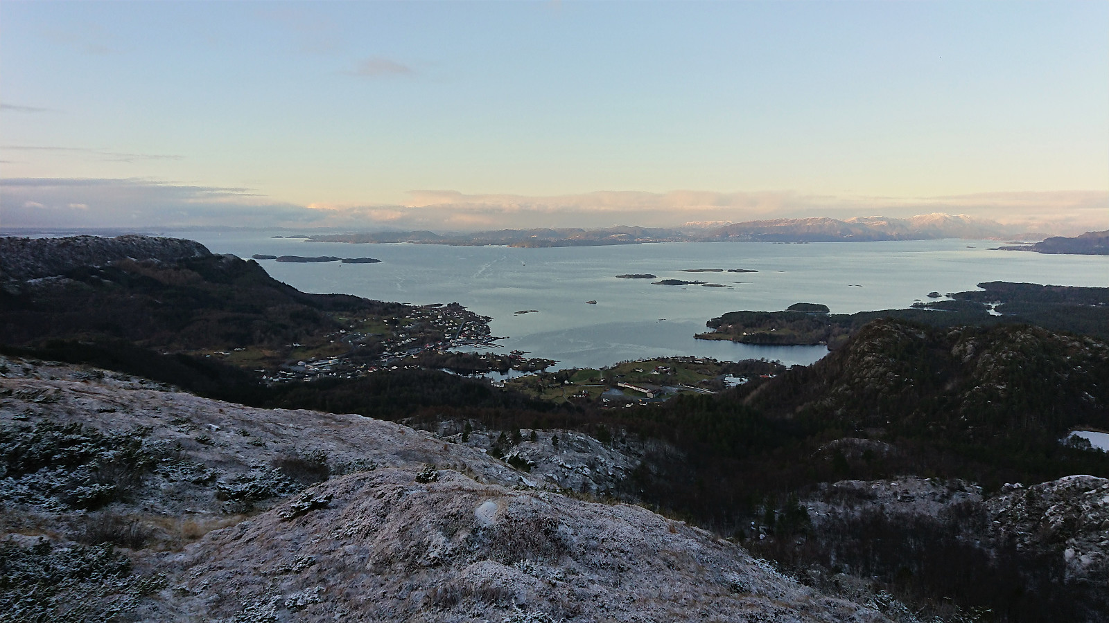
All that remained was now the descent to Våge for the ferry back to Haljem. I had plenty of time, and even when taking it very easy on the return, I still had more than half an hour to kill when arriving at Våge. Thankfully there was an indoor waiting room, which while not heated at least provided shelter from the wind.
Conclusion
In summary, an excellent nice hike that can be partially recommended. The visits to Teiglandsnuten and Vestrefjellet both followed good trails and provided excellent views, and can thus be recommended to all. The shortcut from Teiglandsnuten to Vestrefjellet, and the descent from Vestrefjellet to Dalland (and I guess the visit of Vestrefjellet in general), is however more of an acquired taste and may not be to everyone's liking.
On a final note, the correspondence between bus and ferry at Haljem is far from optimal. For this trip I had to wait around 20 minutes in each direction. Not a big problem, but something to keep in mind if being wet and cold after a long hike.
| Startzeitpunkt | 30.11.2019 10:48 (UTC+01:00) |
| Endzeitpunkt | 30.11.2019 15:33 (UTC+01:00) |
| Gesamtzeit | 4h 45min |
| Zeit in Bewegung | 4h 31min |
| Pausenzeit | 0h 13min |
| Gesamtschnitt | 3,3km/h |
| Bewegungsschnitt | 3,5km/h |
| Entfernung | 15,8km |
| Höhenmeter | 951m |


Benutzerkommentare