
Bergstadfjellet from Evanger (23.11.2019)

Skrevet av hbar (Harald Barsnes)

| Startsted | Evanger stasjon (17moh) |
|---|---|
| Sluttsted | Evanger stasjon (17moh) |
| Turtype | Fjelltur |
| Turlengde | 4t 28min |
| Distanse | 16,0km |
| Høydemeter | 856m |
| GPS |
|
| Bestigninger | Bergstadfjellet (665moh) | 23.11.2019 |
|---|---|---|
| Andre besøkte PBE'er | Evanger stasjon (17moh) | 23.11.2019 |
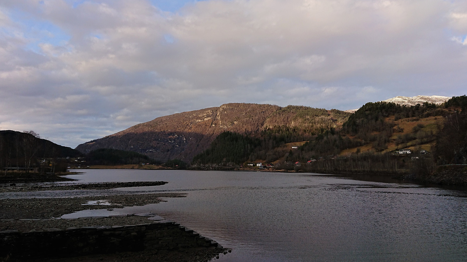
Bergstadfjellet from Evanger
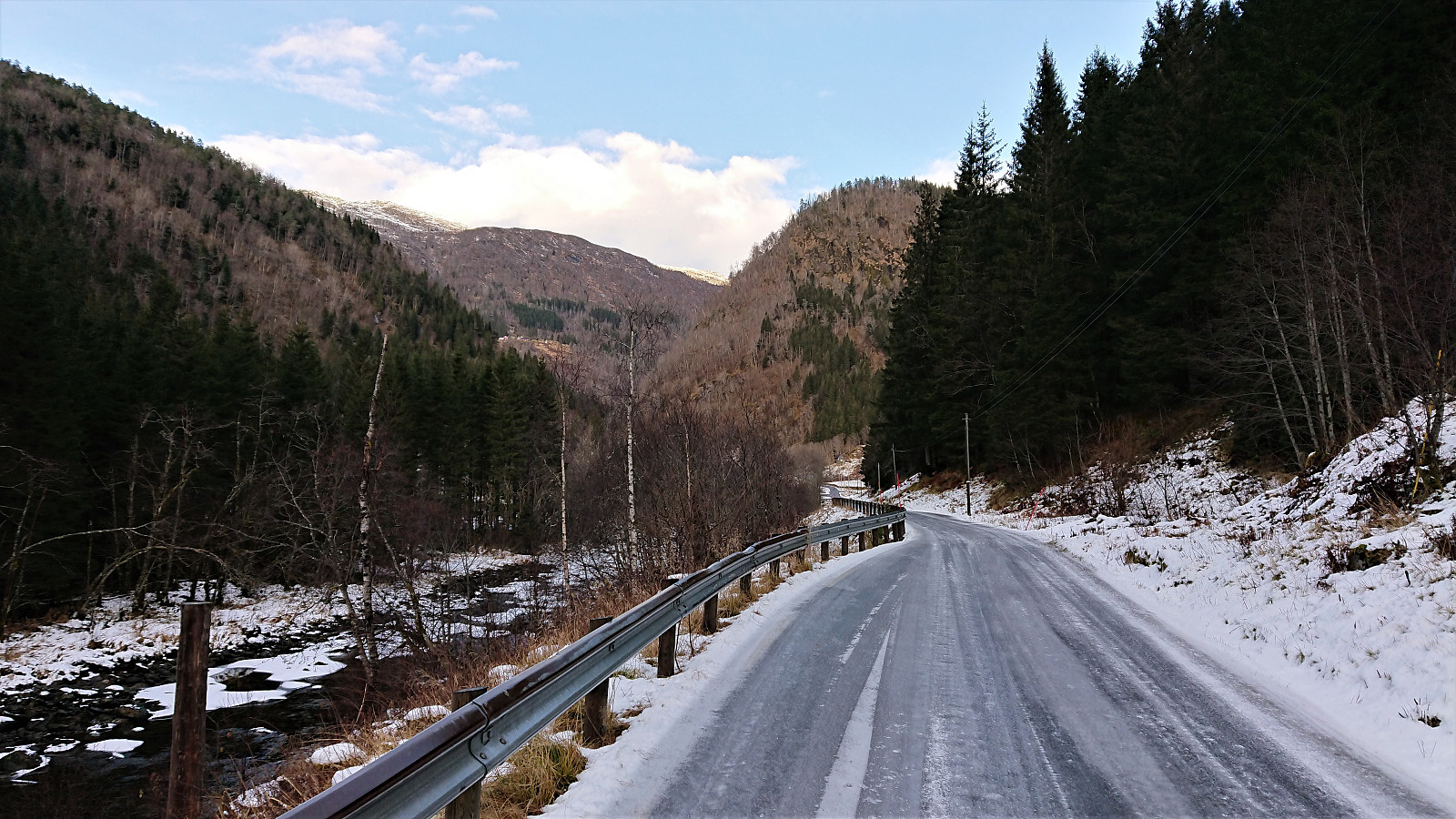
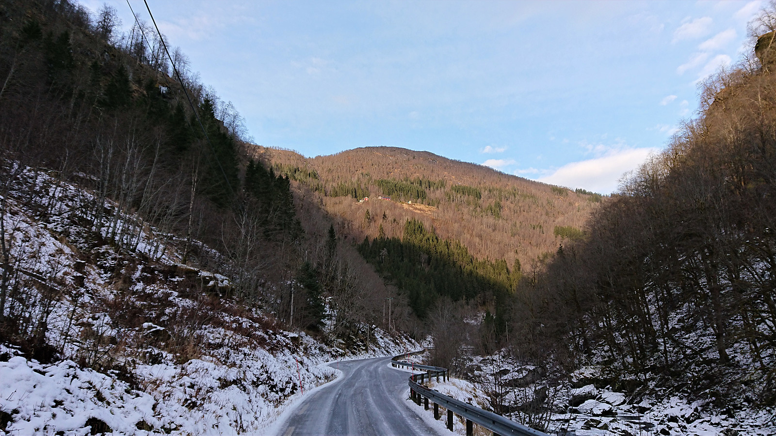
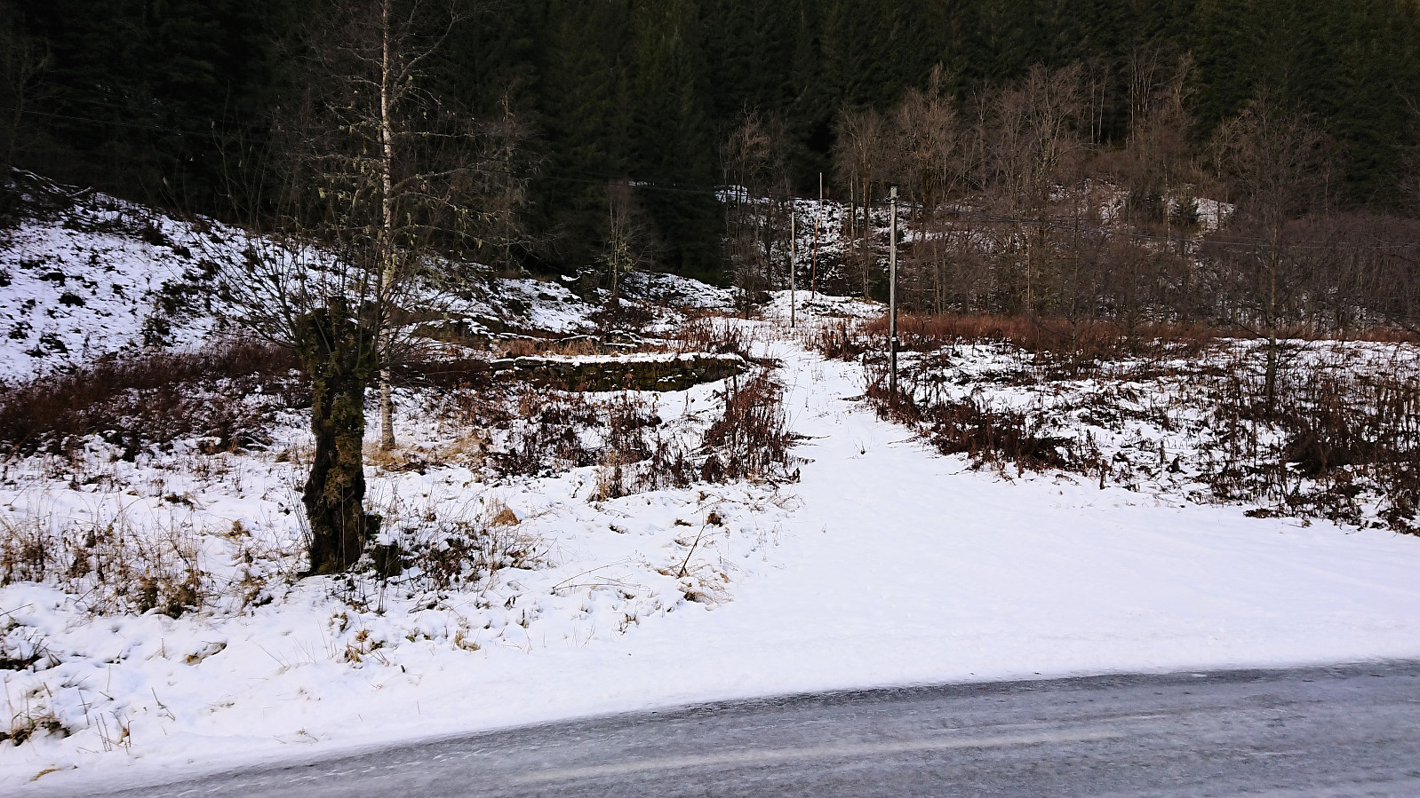
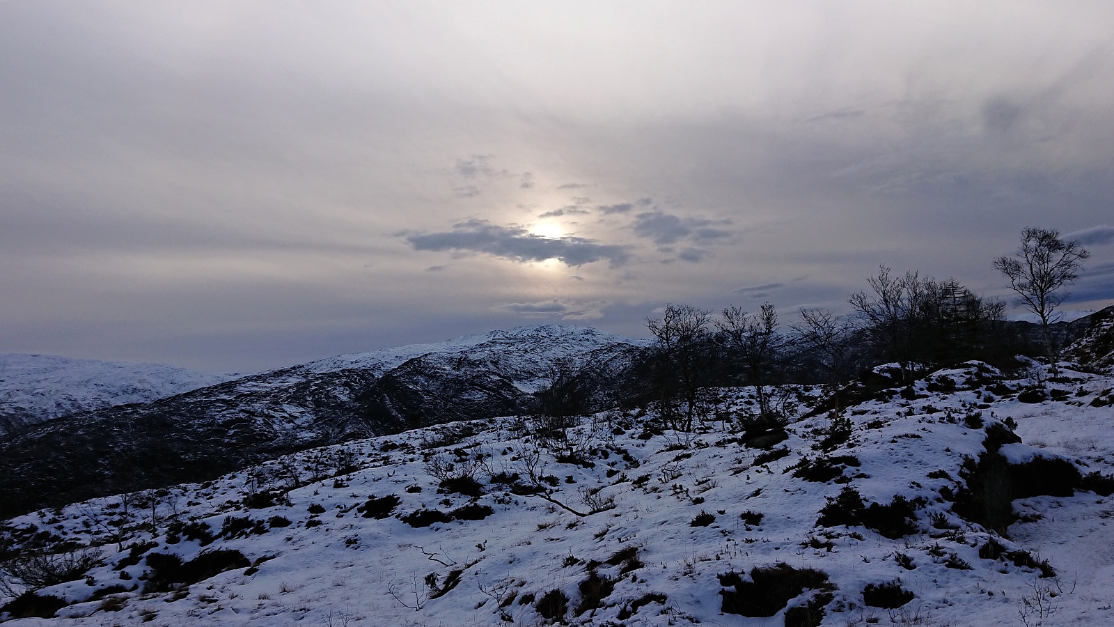
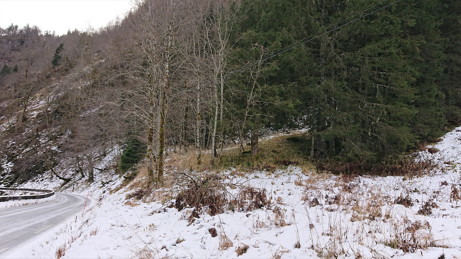
Started by taking the train to Evanger and walking along Teigdalsvegen to Forvene. The road was covered by ice soon after passing Fadnes, but by walking close to the edge of the road, and paying close attention, snow chains were not needed. Upon reaching the short tractor road at Forvene, I left the main road and started searching for a trailhead. Did not find any, so I simply started up the steep ridge, assuming I would come across it later on.
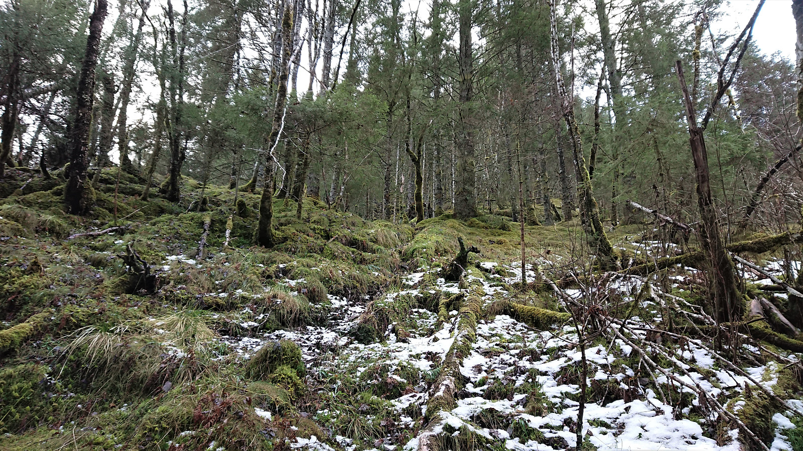
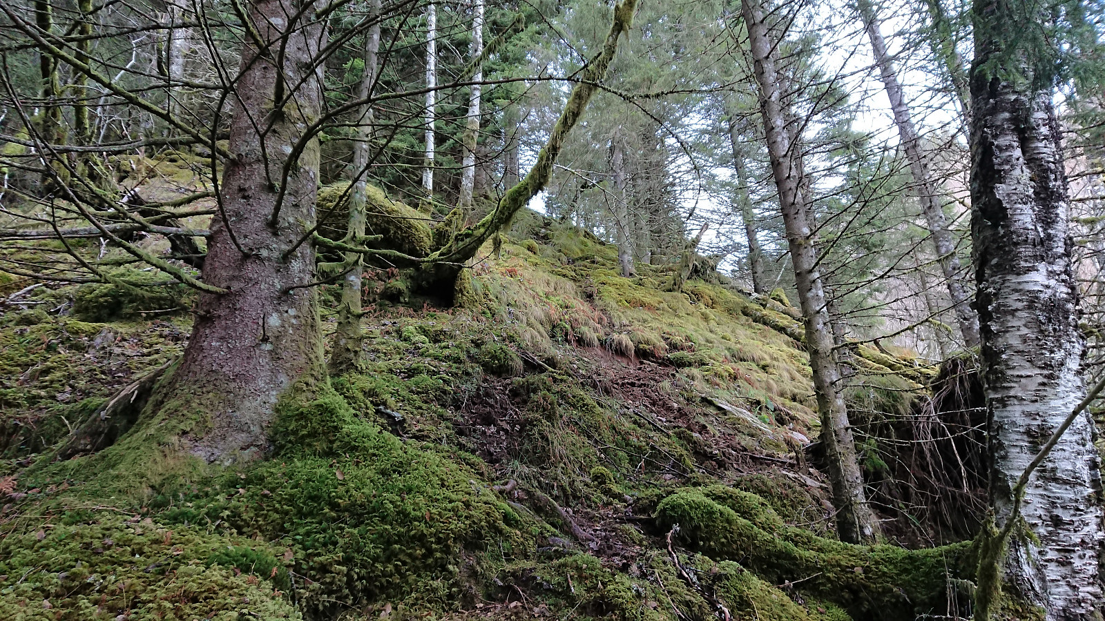
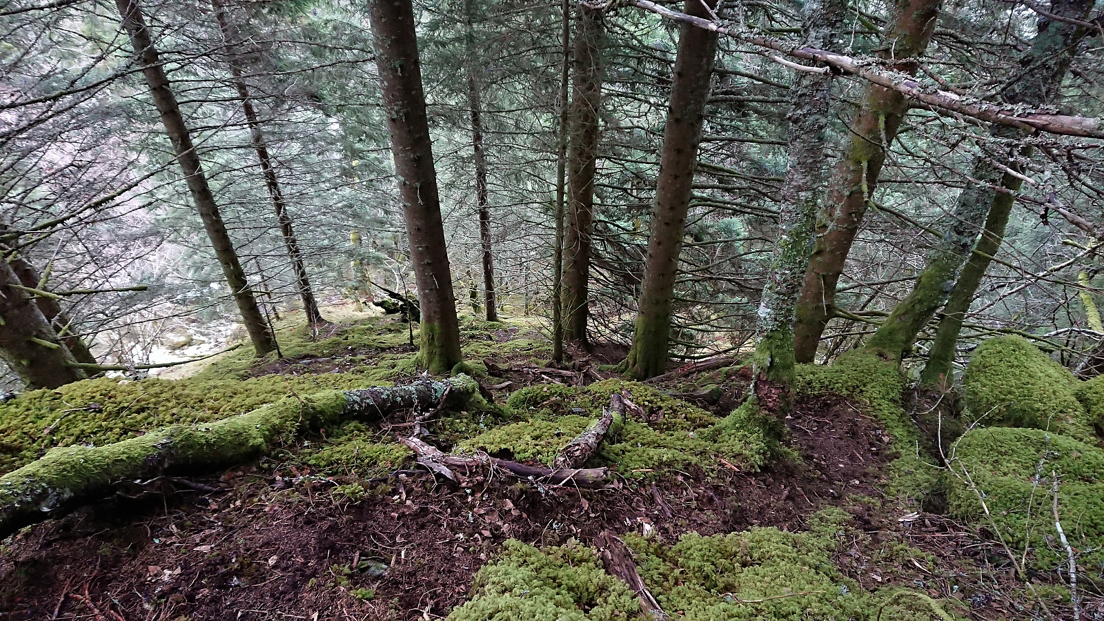
A trail/deer track was shortly discovered. I would put it more in the latter category though, but it did make it easier to progress up the surprisingly steep ascent. The ridge was covered by trees, but these could easily be avoided. Thus there was nothing of the bush war I had mentally prepared for.
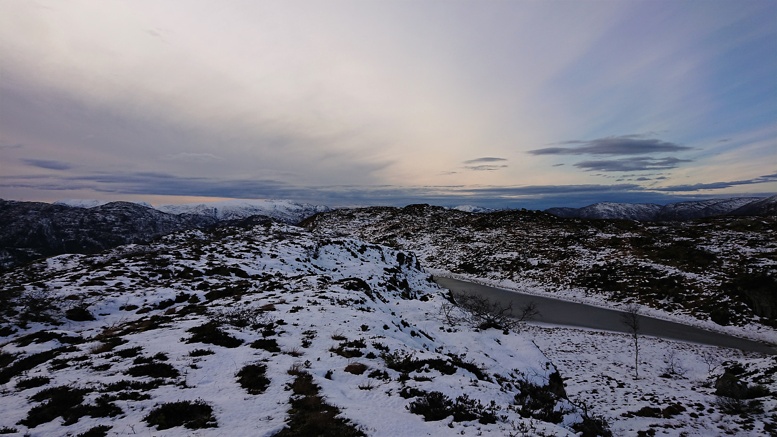
At around 200 meters the trail turned much less steep, and from there on there were no more steep sections. When the trail disappeared not long after, this was therefore unproblematic, as the route was now pretty obvious anyway.
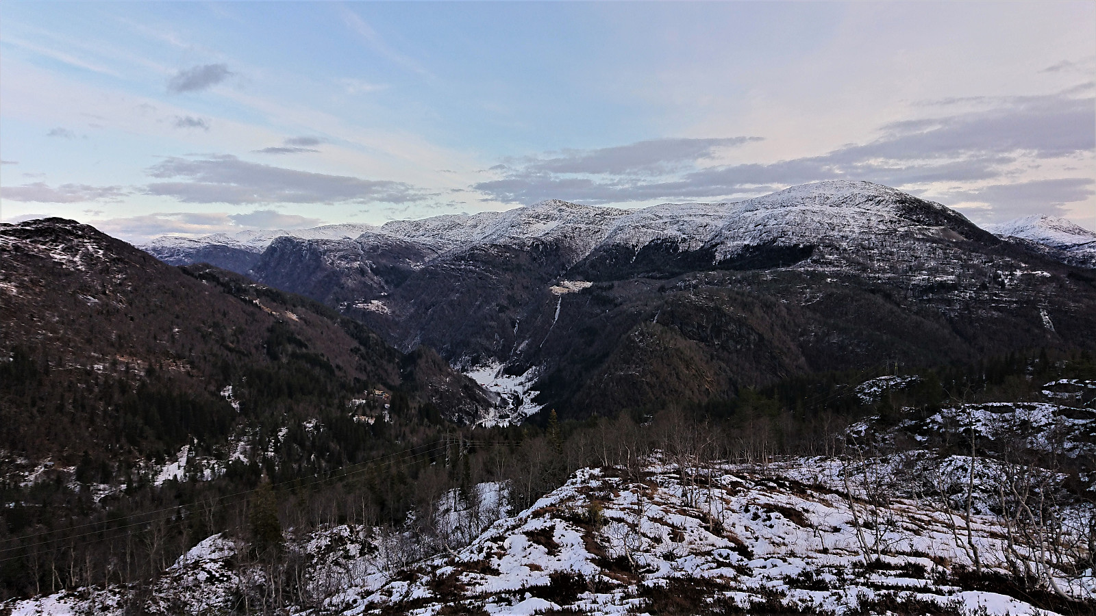
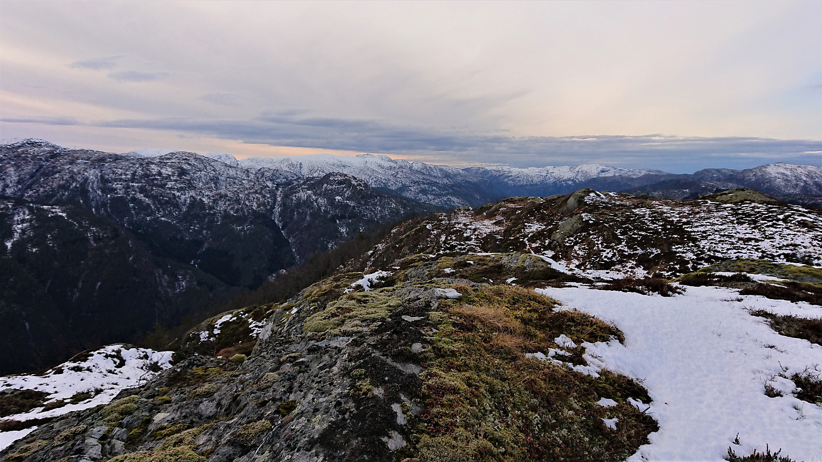
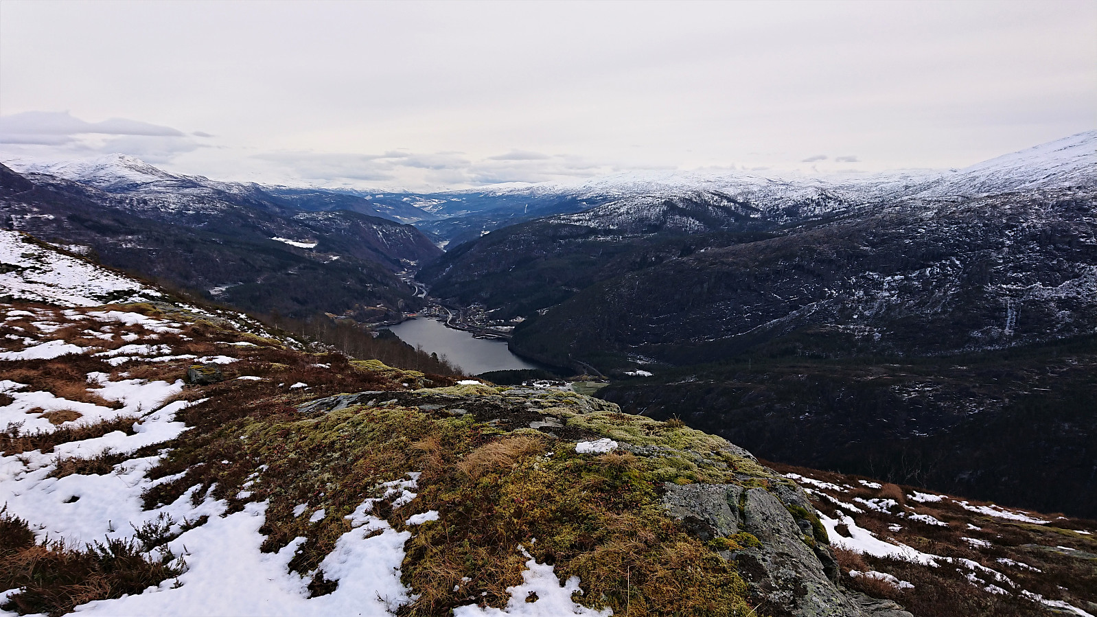
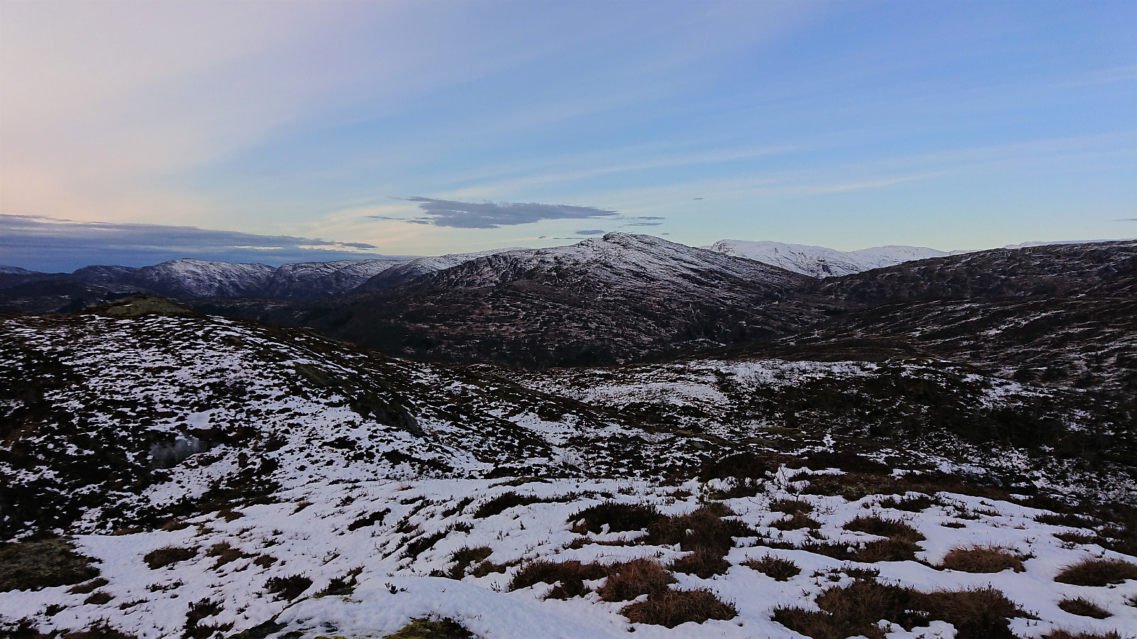
On my way to the summit, I made a quick detour to the 626 hill east of the summit, hoping it would provide some nice views. This was however not the case, and equal or better views would be obtained from the summit. The views from the summit were excellent though, perhaps most notably including a very nice view back towards Evanger.
When standing on the summit, I started to become unsure whether the hill 100 meters to the west was actually higher than my current location, as the difference could not be very big. I considered paying it a visit as well just to be sure, but even though the distance was only around 100 meters, the two hills were separated by a steep valley. Hence getting there would most likely require a significant detour. In the end, and after looking at the two peaks from several angles, I concluded that the eastern hill was the tallest of the two, and I could start my descent confident that I had indeed visited the highest point at Bergstadfjellet.
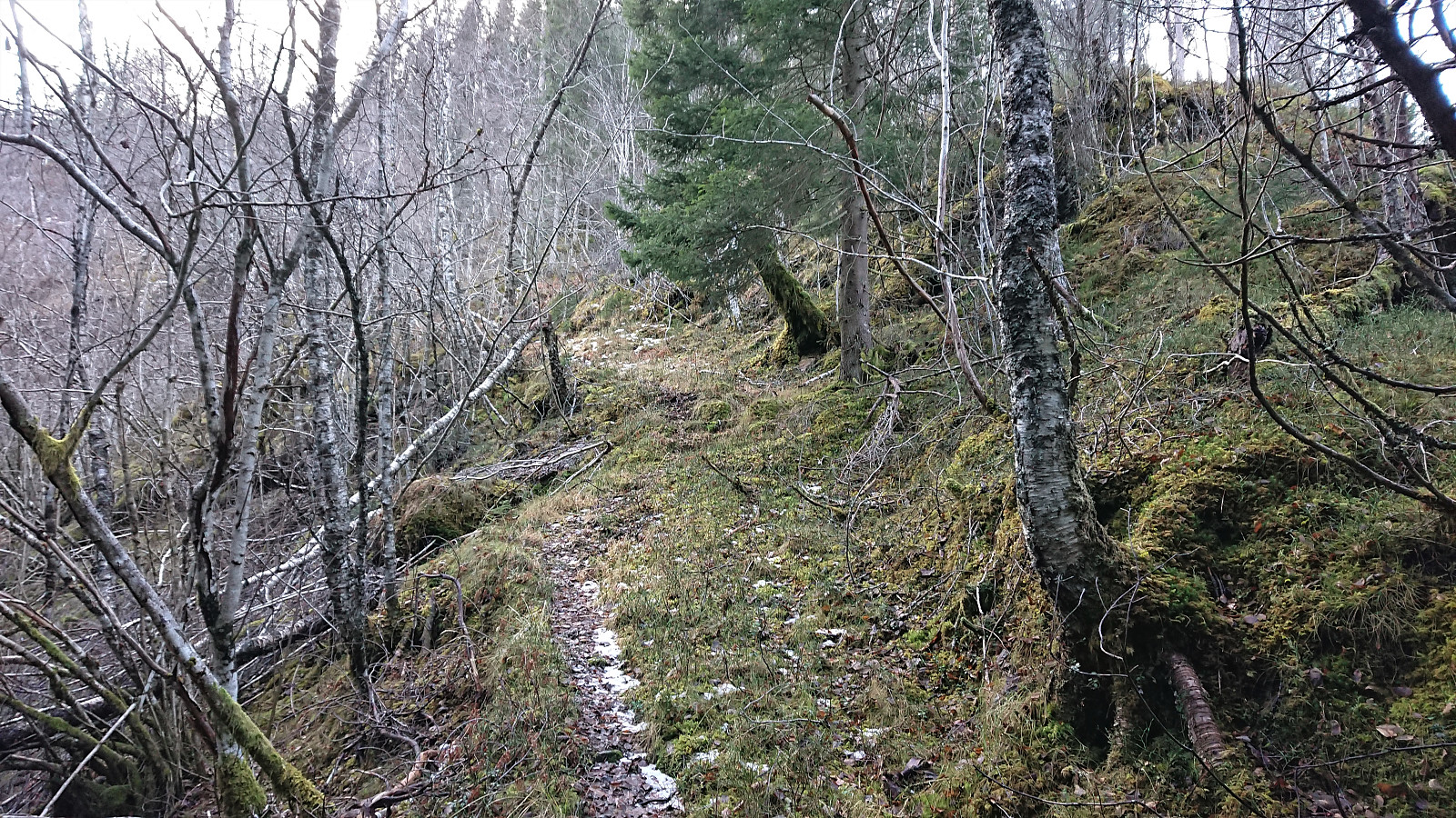
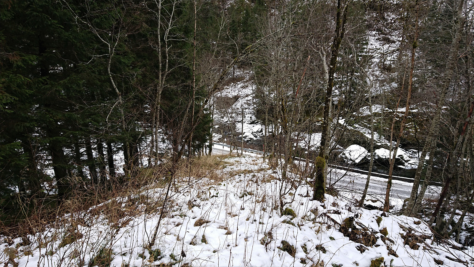
My descent followed more or less the same route as the ascent, except for skipping hill 626 and instead making a minor navigational error requiring a tiny bit of backtracking. When getting close to the main road, I also ended up taking a slightly different route. And while the end of this trail/deer track was not much clearer than what I had used on the ascent, I still think it was the better of the two options. All that remained was now the walk back to Evanger, making it to the train station with 15-20 minutes to spare for the planned train back to Bergen.
Overall, an easier hike than expected. Don't get me wrong though. The start of the trail up from Forvene is very steep, bordering on light climbing, but this is only up to about 200 meters above sea level, and can be done without any bush wars. And from there the summit can be reached without any difficulties. I would still argue that this hike is more of an acquired taste.
| Starttidspunkt | 23.11.2019 11:04 (UTC+01:00) |
| Sluttidspunkt | 23.11.2019 15:32 (UTC+01:00) |
| Totaltid | 4t 28min |
| Bevegelsestid | 4t 13min |
| Pausetid | 0t 14min |
| Snittfart totalt | 3,6km/t |
| Snittfart bevegelsestid | 3,8km/t |
| Distanse | 16,0km |
| Høydemeter | 1055m |
Note: The total number of vertical meters seems way too high. Probably due to inaccuracies in the GPS-measurements for the walk along the main road. I therefore removed 200 meters in the trip summary at the top of the report.


Kommentarer