
Dyrskarfjellet and Rundesteinen (11.05.2019)

Skrevet av hbar (Harald Barsnes)

| Startsted | Store-Aurdal (2moh) |
|---|---|
| Sluttsted | Store-Aurdal (5moh) |
| Turtype | Fjelltur |
| Turlengde | 3t 12min |
| Distanse | 9,8km |
| Høydemeter | 701m |
| GPS |
|
| Bestigninger | Dyrskarfjellet (297moh) | 11.05.2019 |
|---|---|---|
| Rundesteinen (423moh) | 11.05.2019 | |
| Andre besøkte PBE'er | Vikasætra (253moh) | 11.05.2019 |
Dyrskarfjellet and Rundesteinen
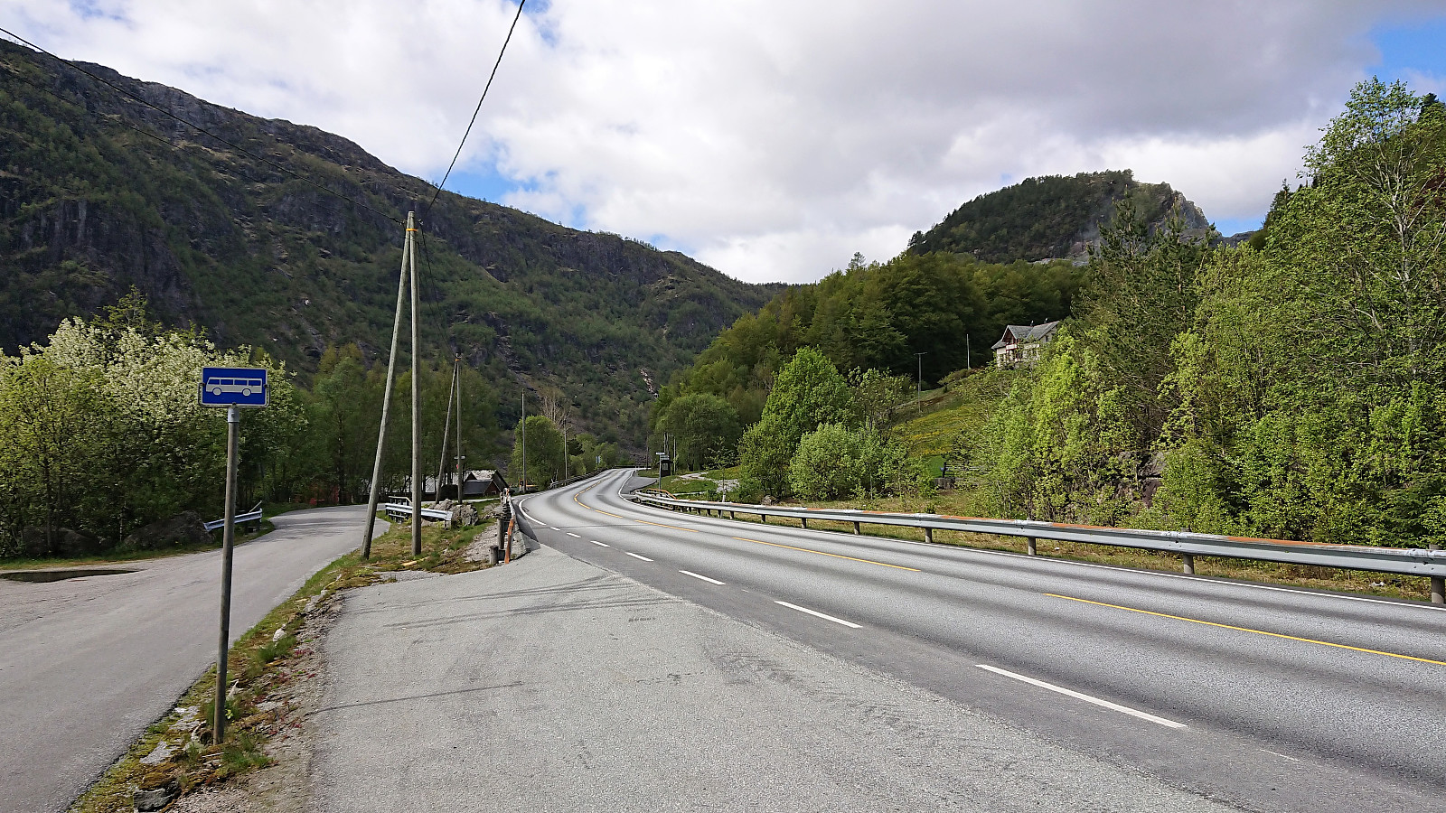
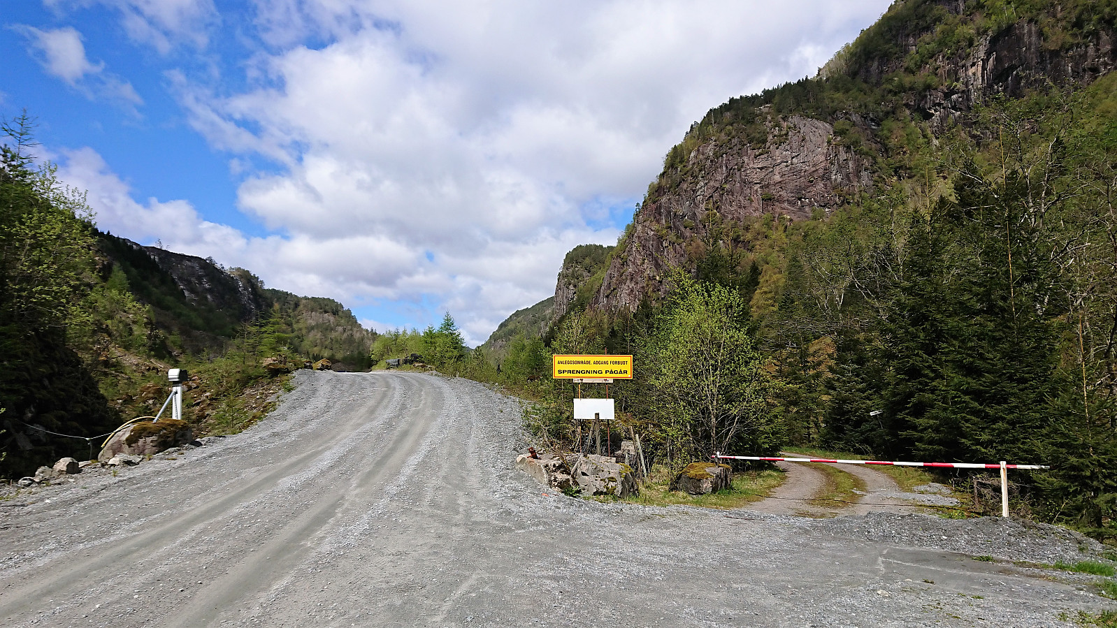
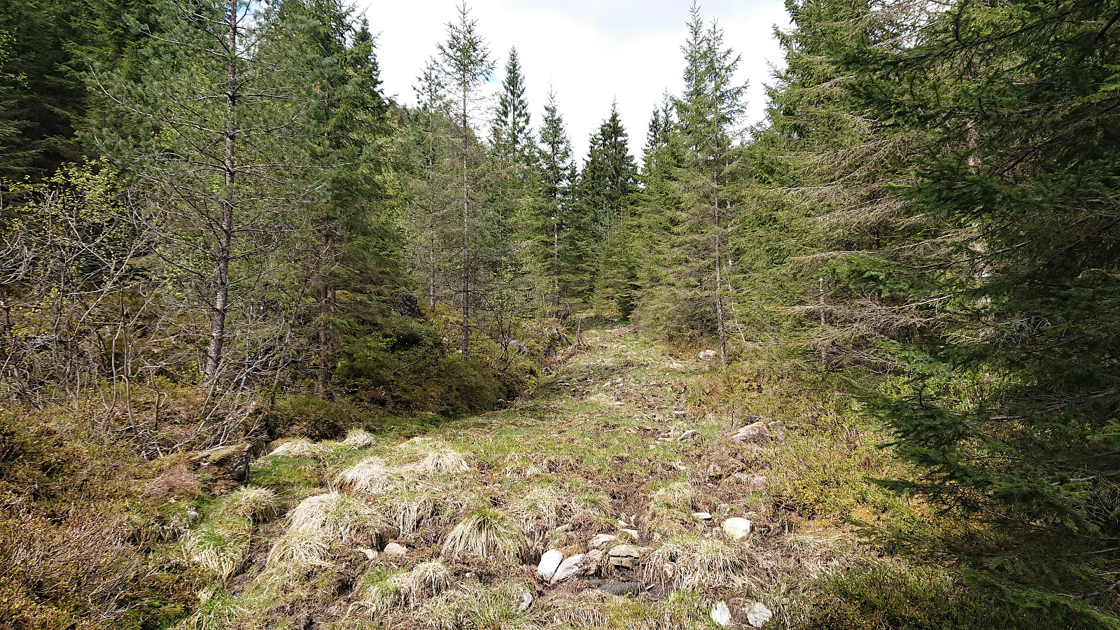
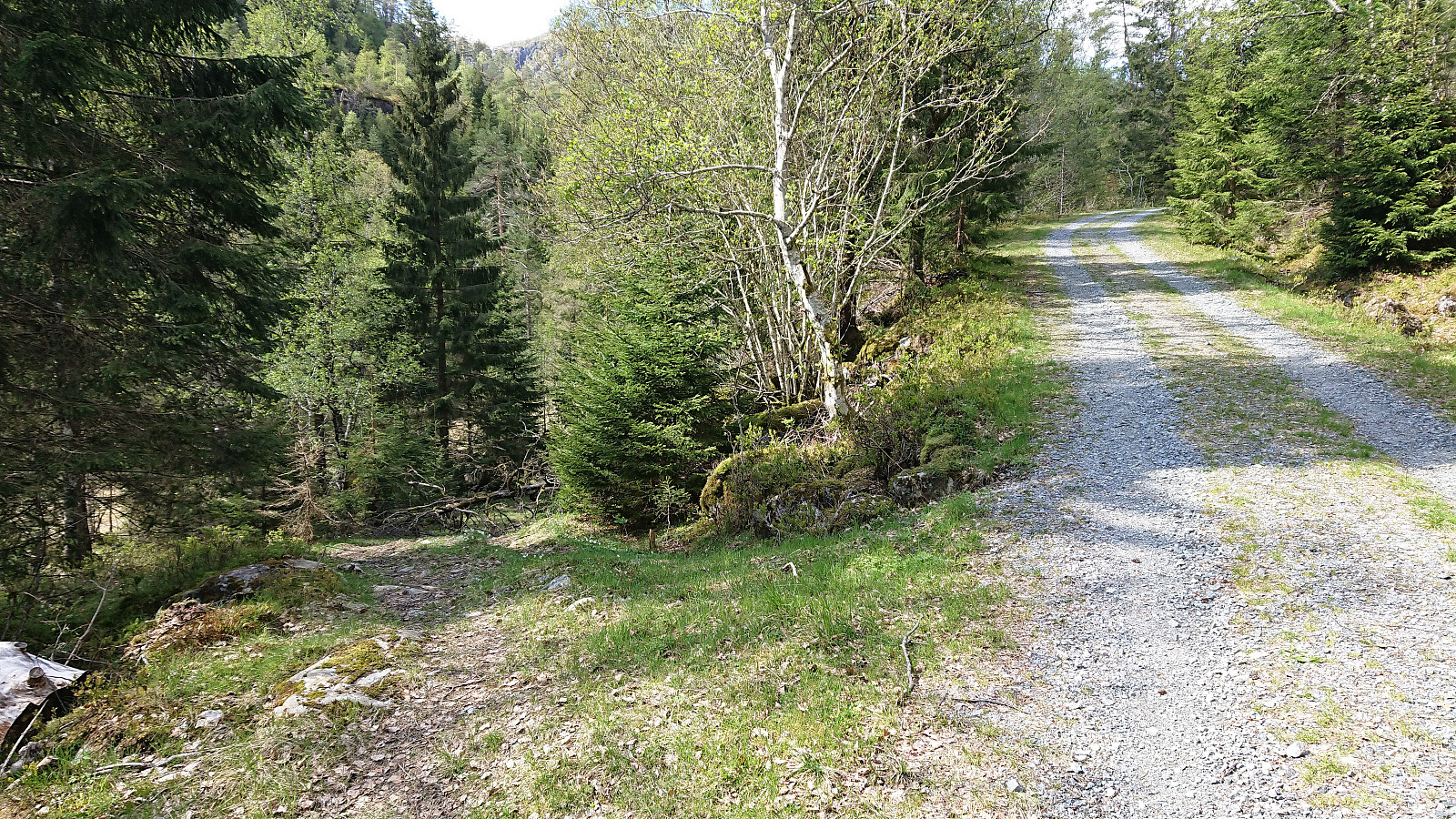
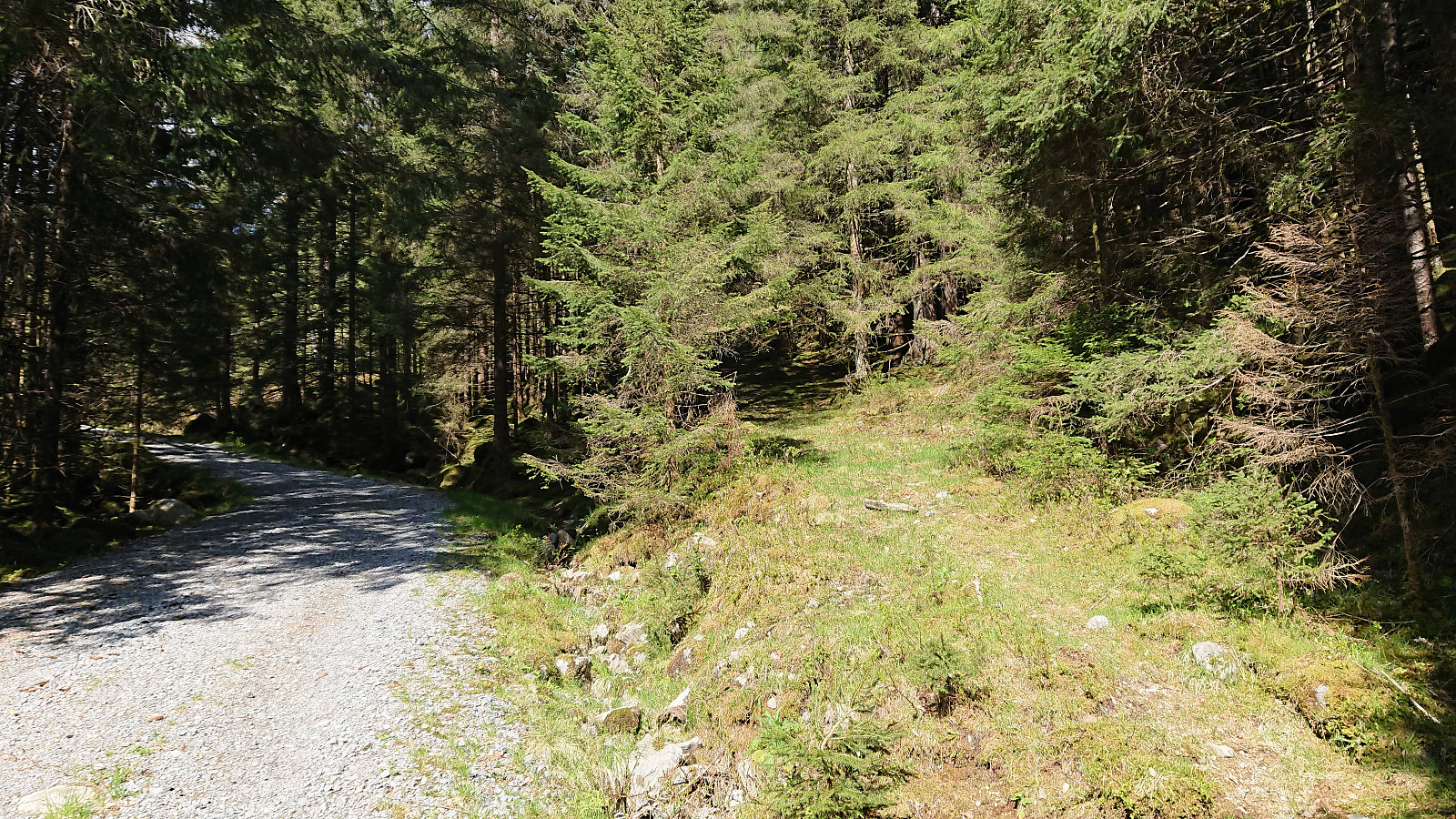
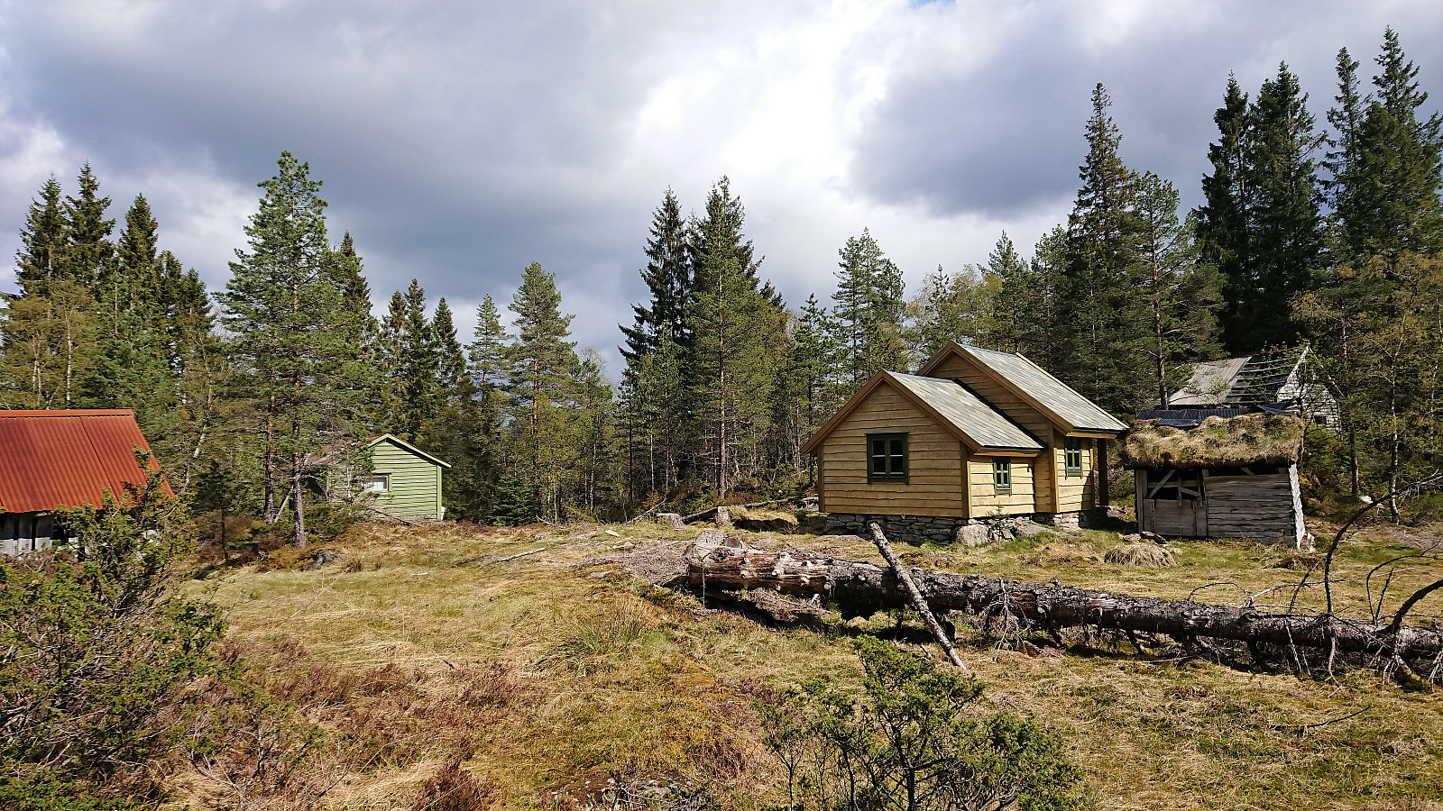
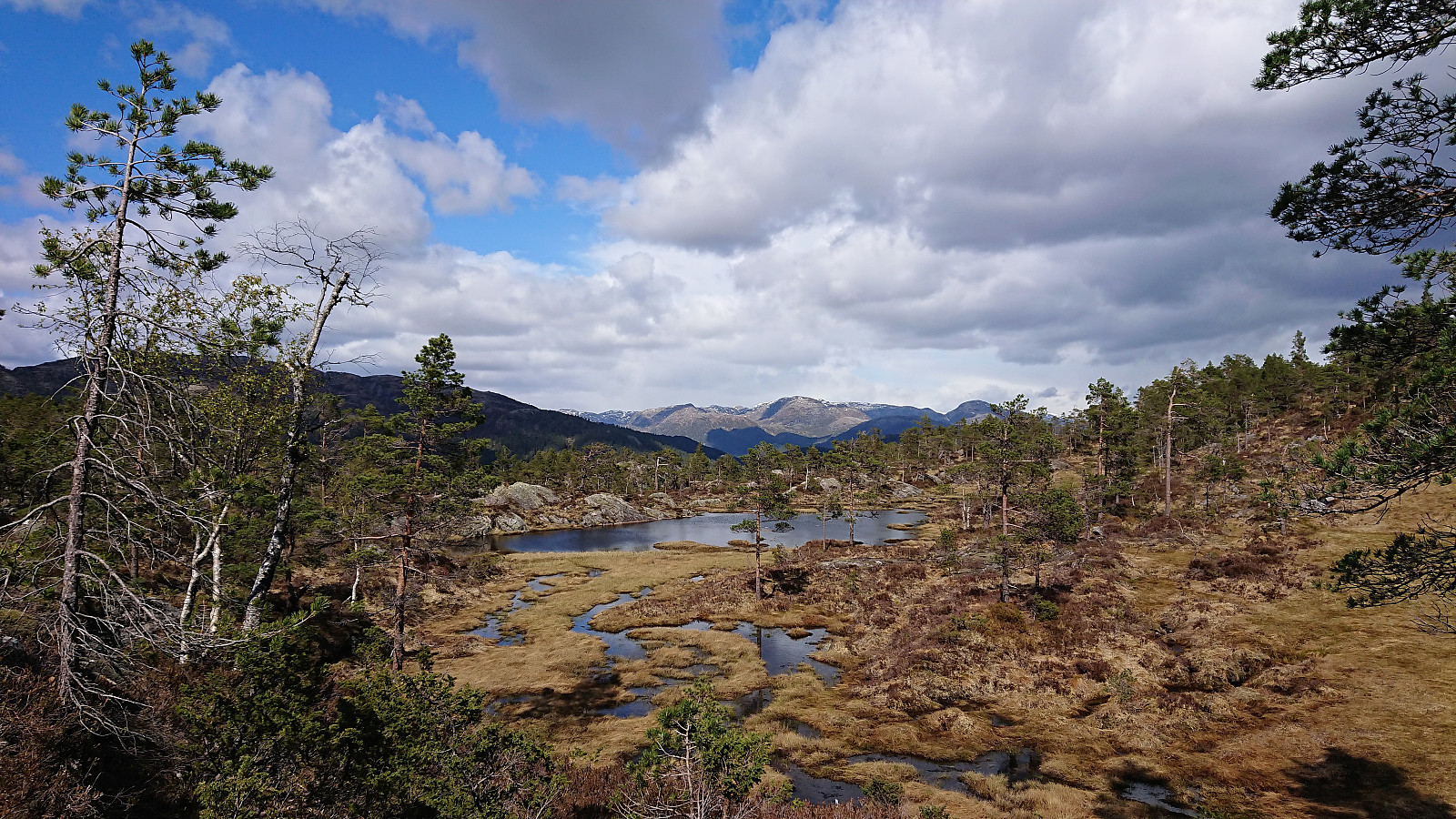
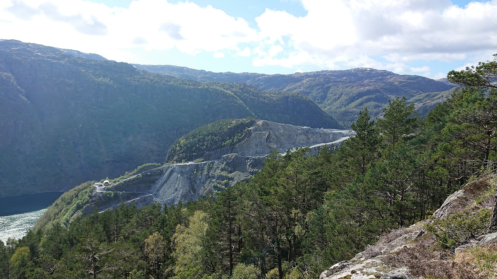
Started by taking the bus to Store-Aurdal (bus stop called "Urdal (Lindås)") and from there followed the gravel road north, making sure to avoid the demolition site of Husafjellet and instead continued on the forest road slightly further to the east. I soon left Husafjellet behind and started looking for the tractor road east of Dyrskarfjellet that should simplify my ascent. I was a bit too eager though, ending up leaving the road too early, but shortly connected with the actual tractor road.
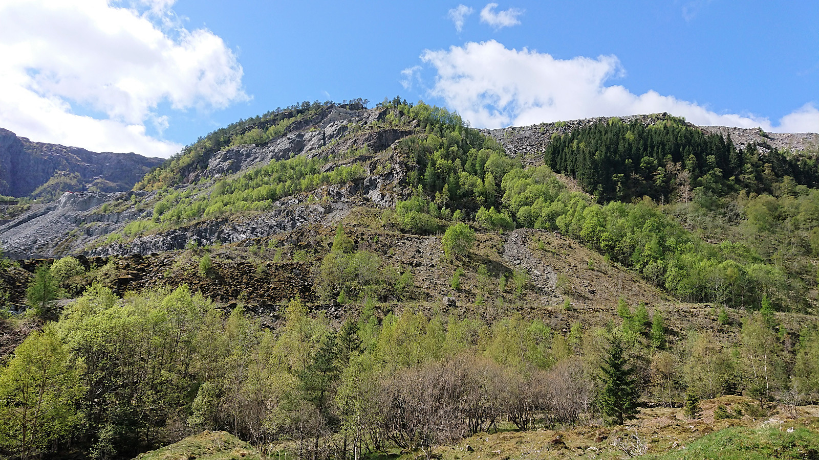
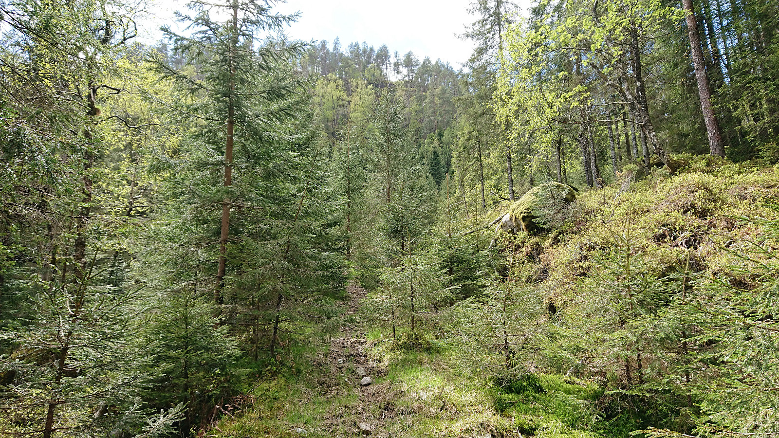
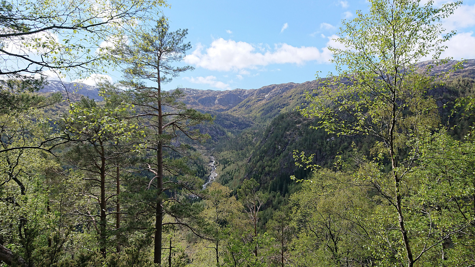
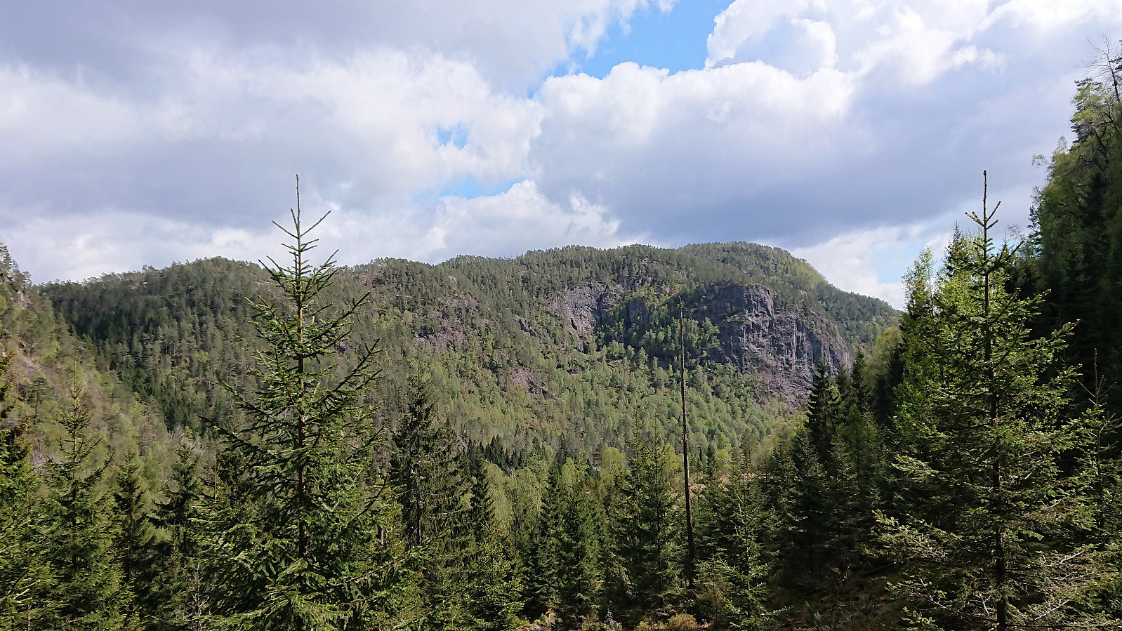
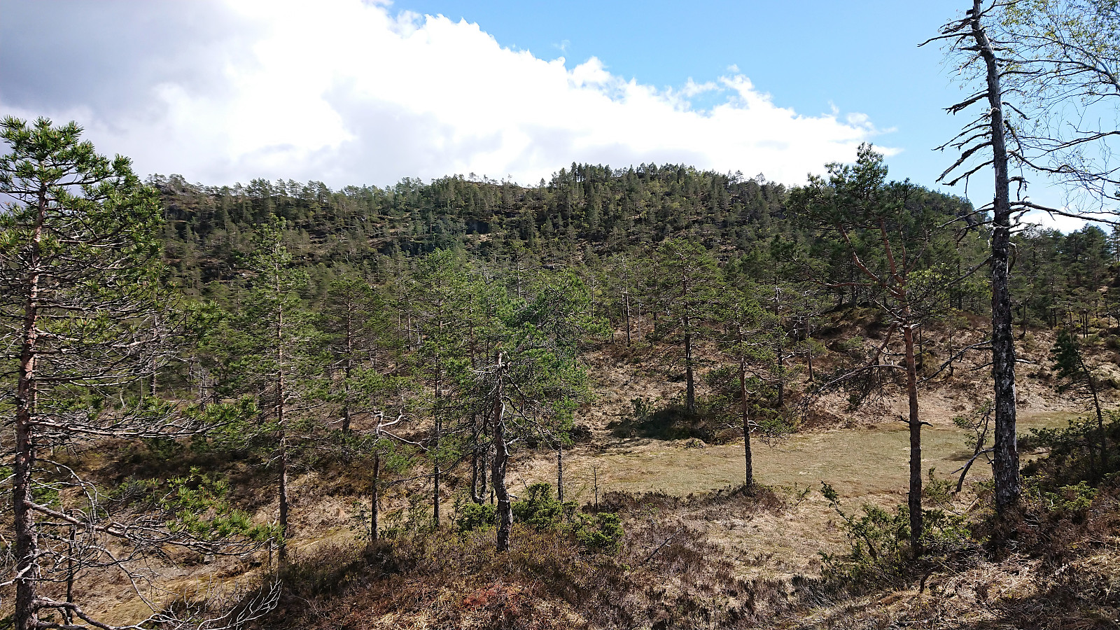
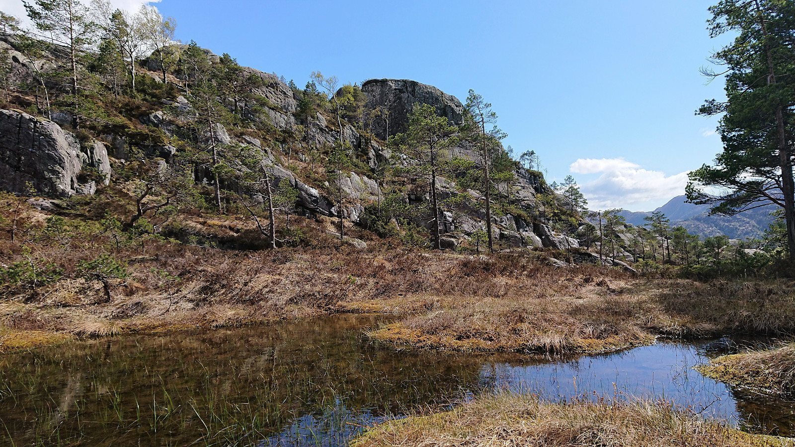
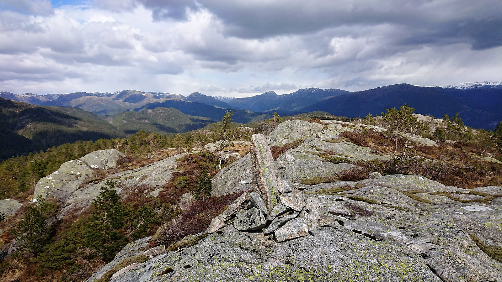
The tractor road was easy to follow, but clearly not very heavily used, and at times looked more like a trail than a road. From where the road/trail finally came to an end, it was however pretty straightforward to proceed to the summit. Although there were a couple of steep sections that had to be avoided. The summit itself provided limited views, but it was possible to get some nice views towards the river west of Eikemo. Did not stay long before following the same route back to the forest road, but this time without the off-road detour.
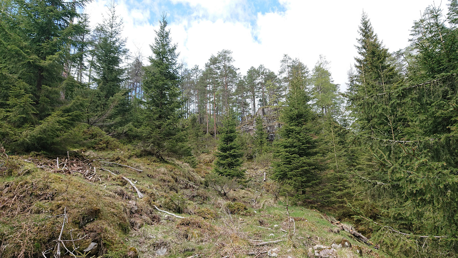
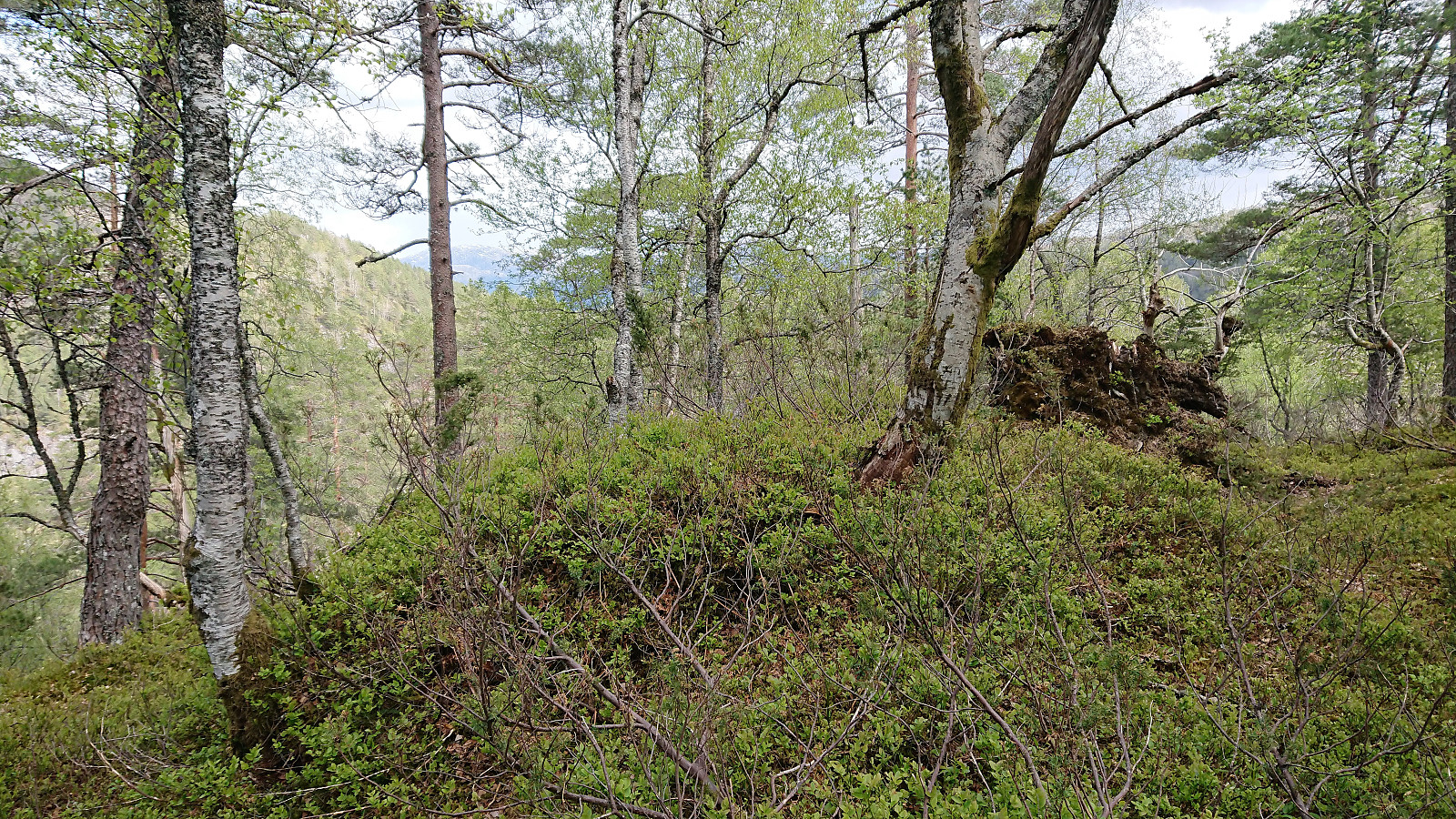
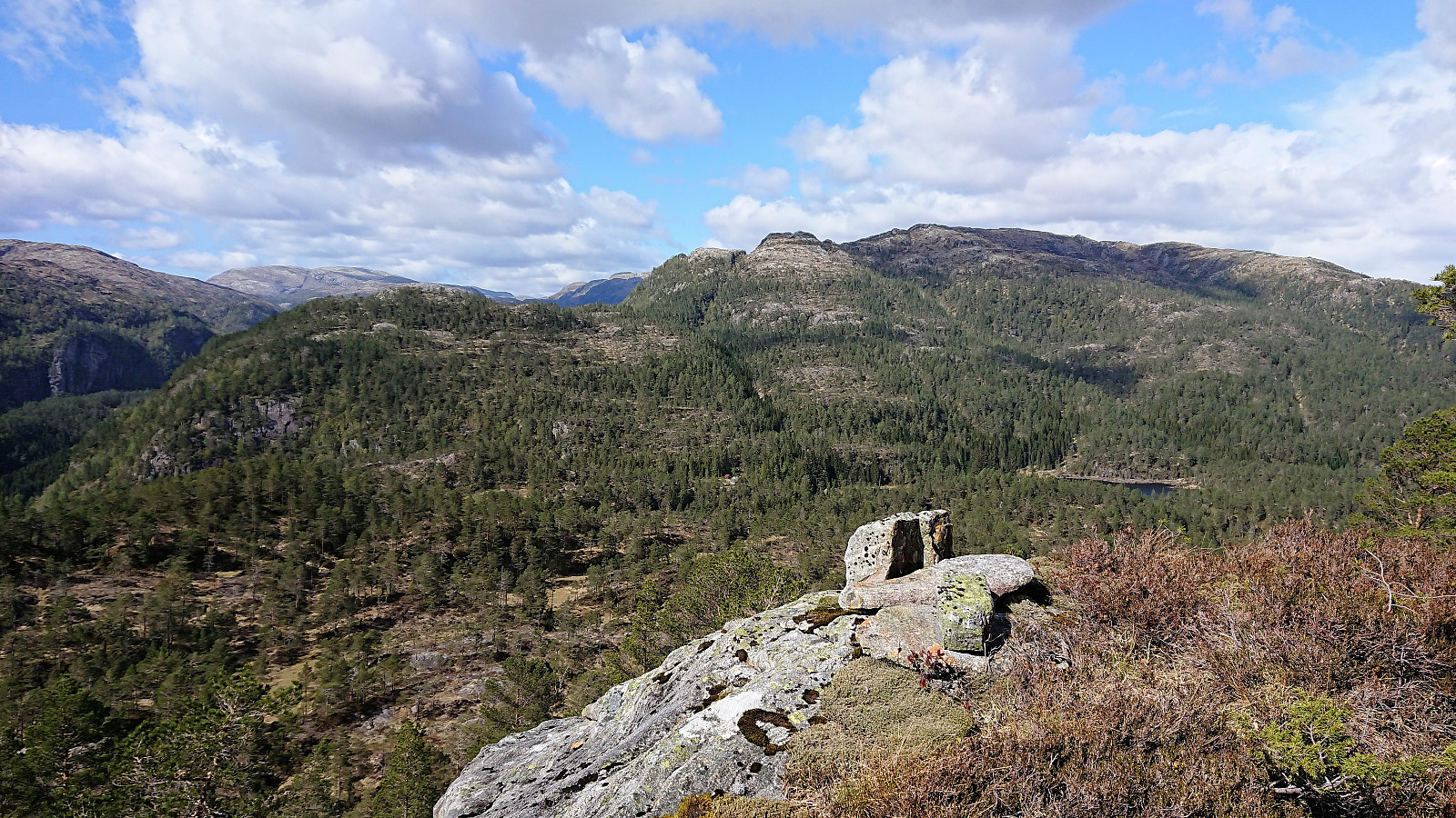
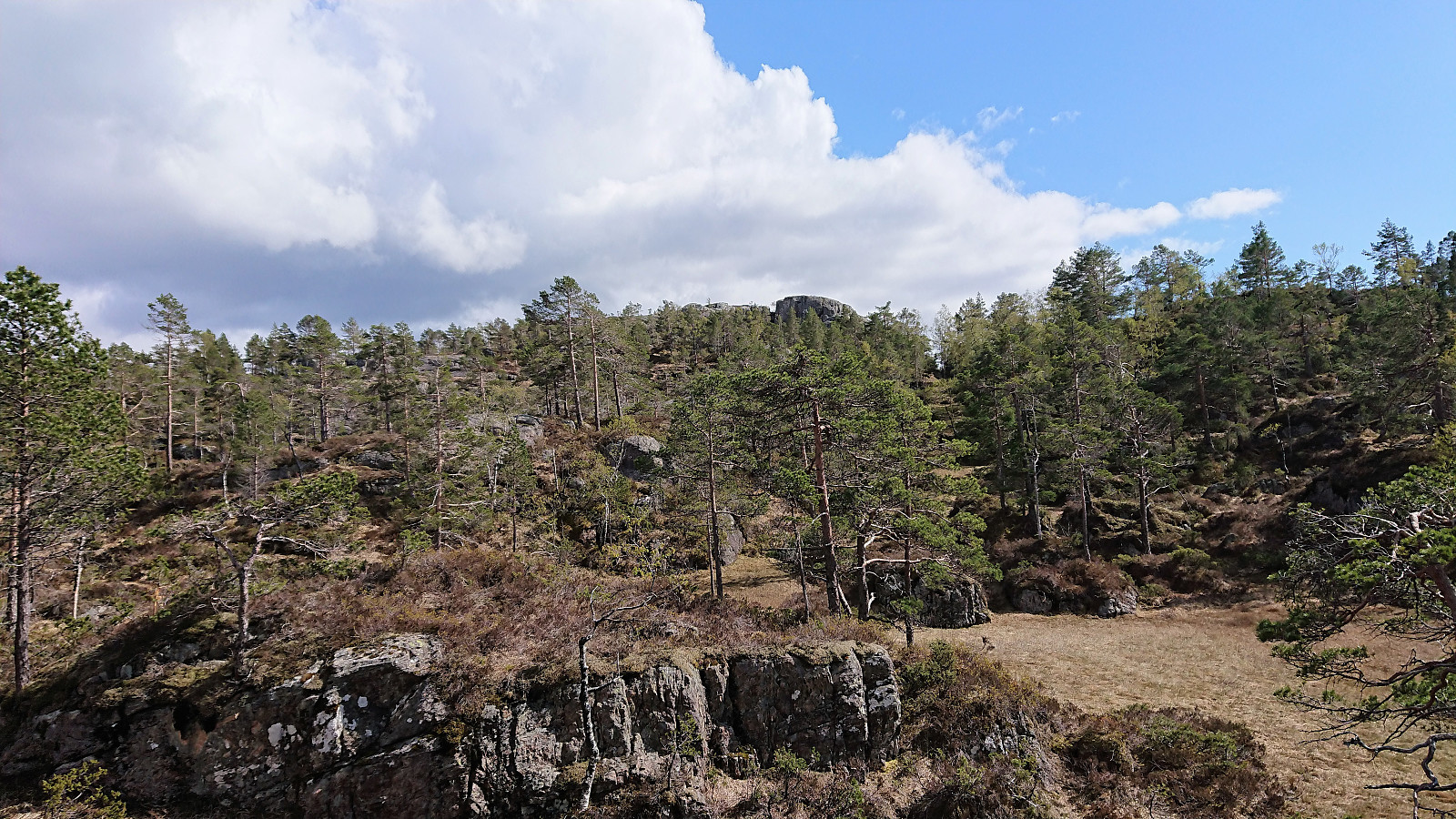
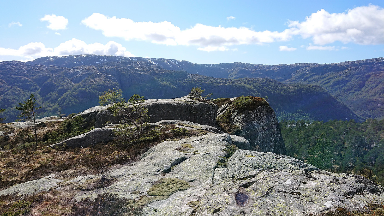
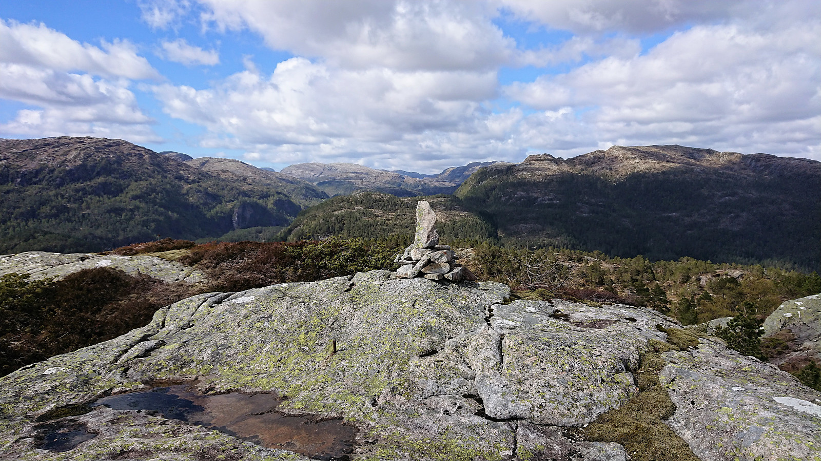
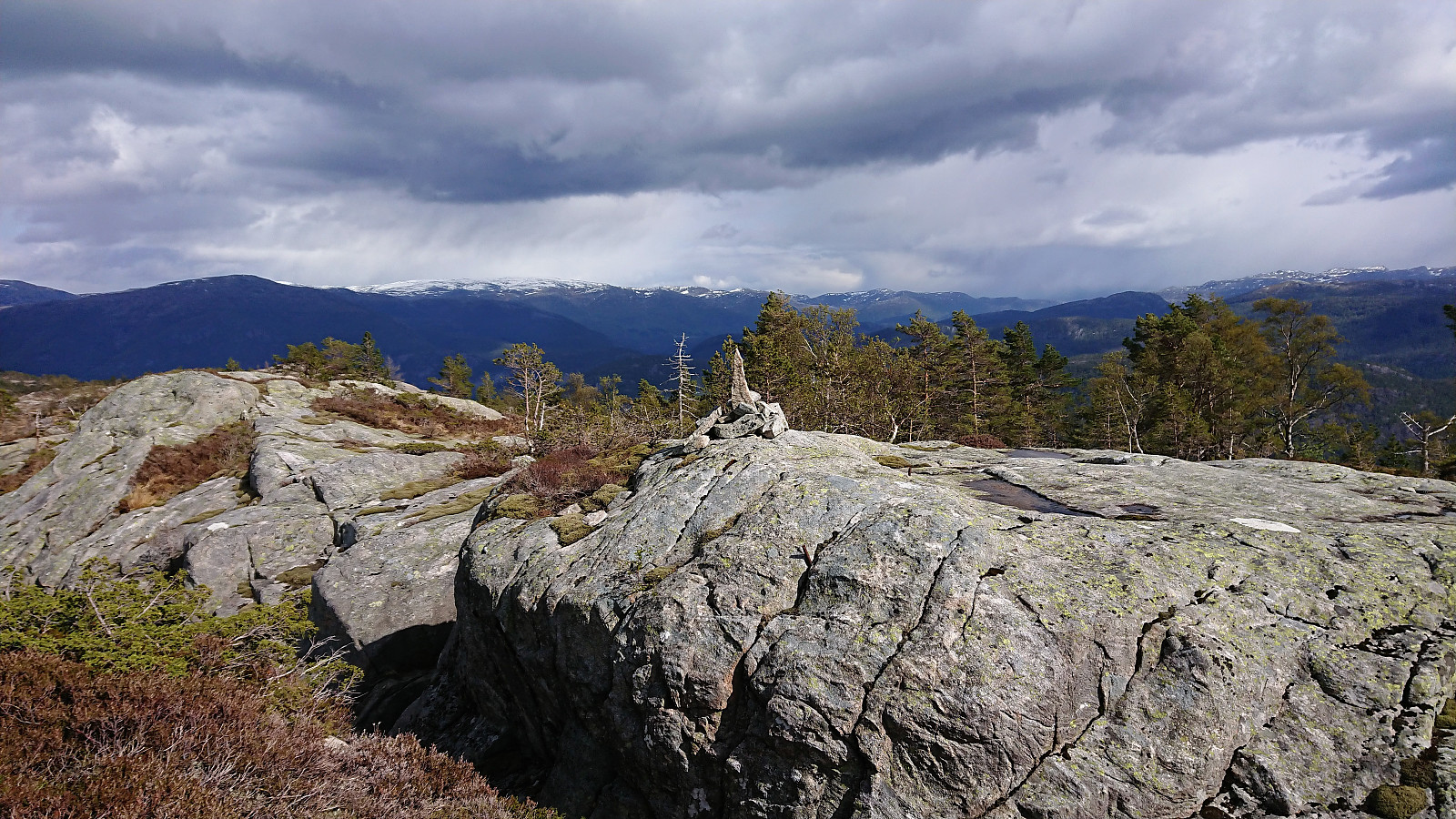
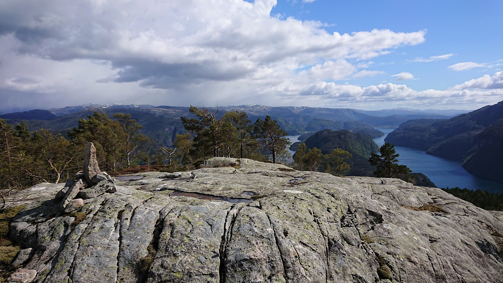
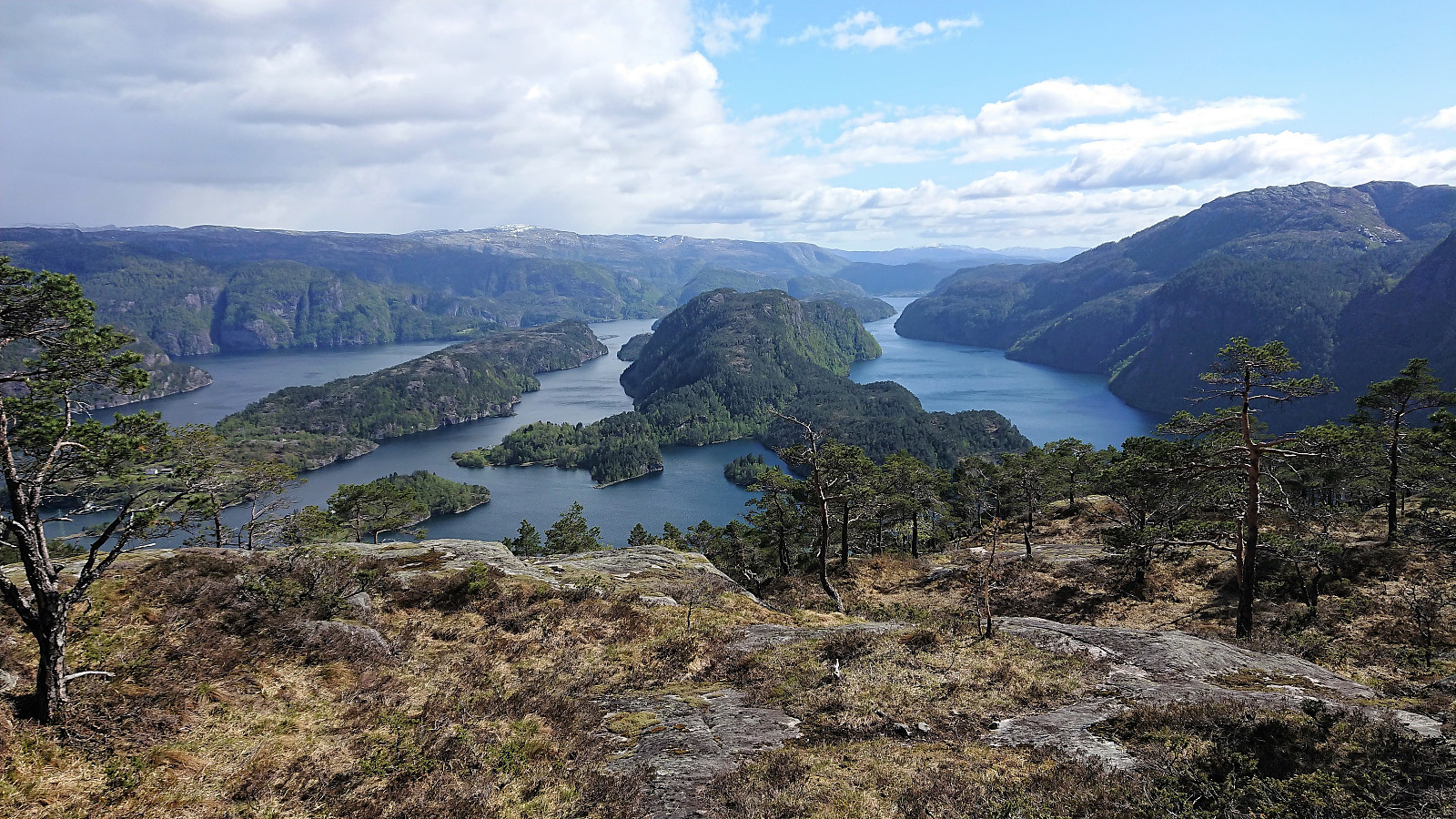
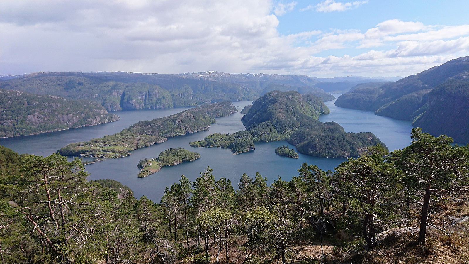
Next, the trail/road toward Vikasætra was easily located, where I soon arrived. I could not see any trails heading south towards Rundesteinen, but there were plenty of deer tracks that could be followed. The relatively open terrain made it easy to make progress, and within not too long Rundesteinen appeared in the distance, and shortly after I was at the summit, where I could enjoy the spectacular views, in particular towards Paddøy and Hokøy to the south. The views were made even better by suddenly spotting a deer running northwest across the open field below the summit.
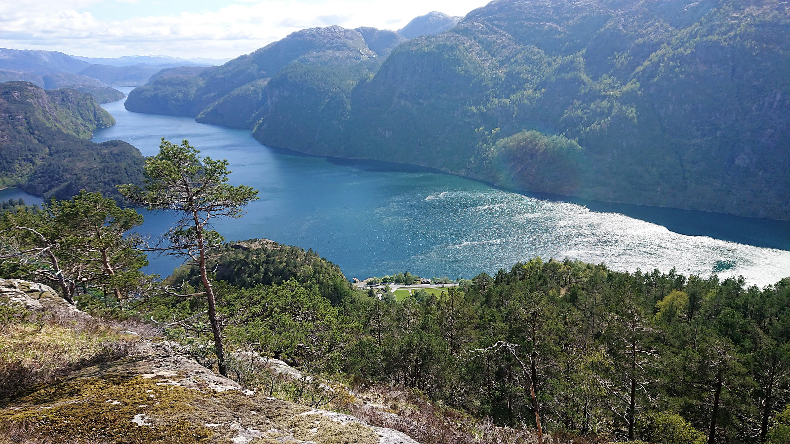
The excellent southern views could be further enjoyed during most of the descent, of which the first part was a bit tricky as there were some rather steep areas to avoid, but from there on it was relatively easy to follow various deer tracks, at times it almost felt like I was following a proper trail.
Upon reaching the overhead power lines north of the main road, I made a short attempt to continue south, to connect with the road at Viko, but the terrain turned too steep, and I rather turned north to Stormyr. This minor detour was not a complete failure though, as it also gave me the second deer encounter of the day, this time at a much shorter distance, maybe less than 10 meters.
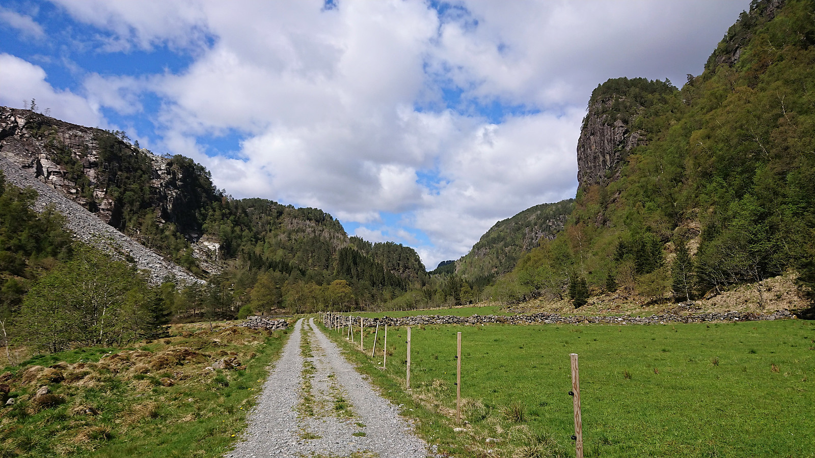
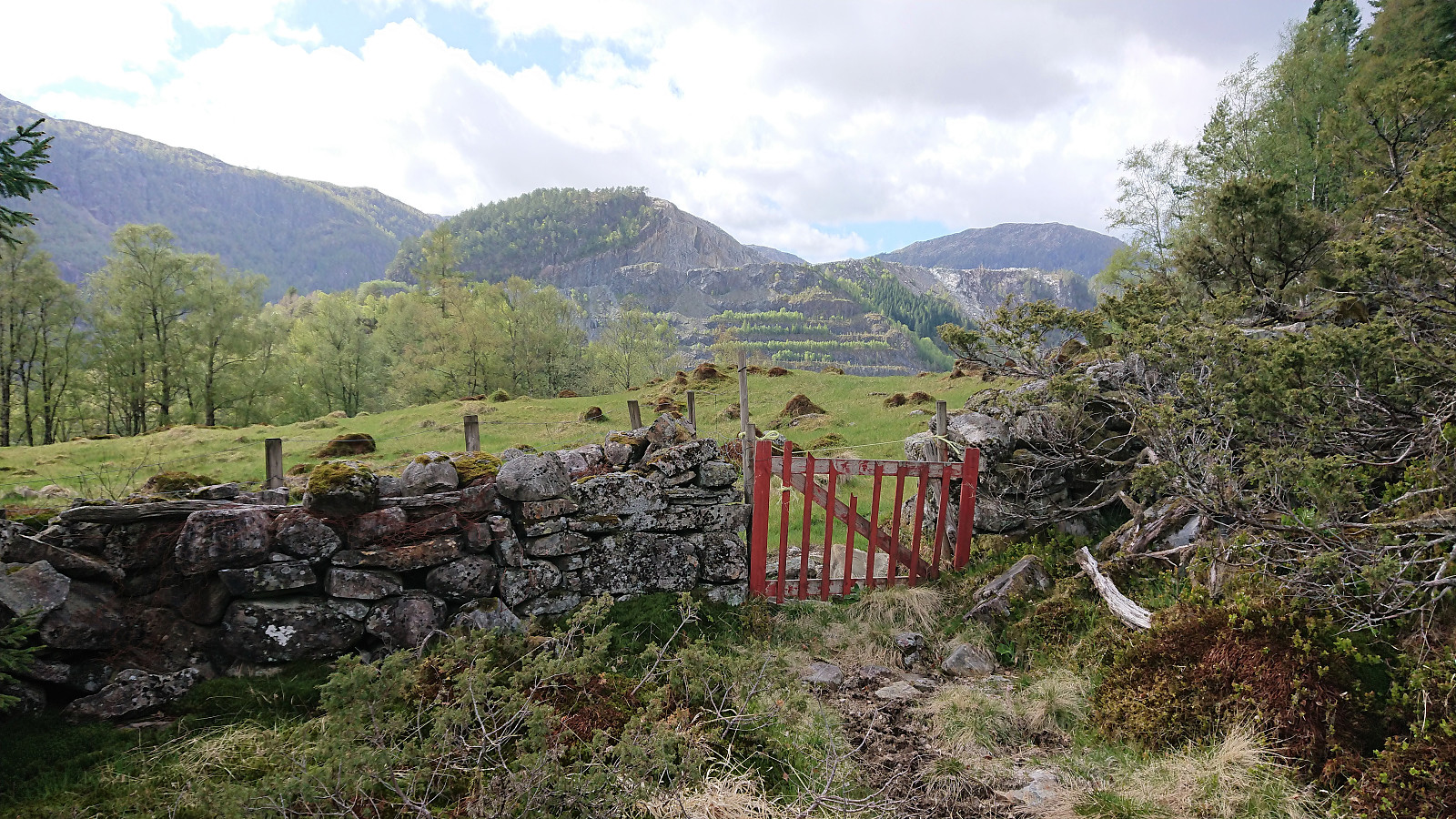
I soon reached a small red gate, which had to be climbed over (or rather over the stone fence next to it) as it was tied shut with rope. I therefore assumed there would be some sort of animals on the other side, but this turned out not to be the case today, although there was electric fencing when I got closer to the house at Stormyr. To avoid the fence, I turned left before getting all the way to the house and thus made a shortcut to the gravel road, which I then followed all the way to the main road and the bus back to Bergen.
In summary, an excellent hike that turned out even better than expected, and with some spectacular views along the way, especially during the descent.
| Starttidspunkt | 11.05.2019 13:43 (UTC+01:00 ST) |
| Sluttidspunkt | 11.05.2019 16:56 (UTC+01:00 ST) |
| Totaltid | 3t 12min |
| Bevegelsestid | 3t 00min |
| Pausetid | 0t 12min |
| Snittfart totalt | 3,1km/t |
| Snittfart bevegelsestid | 3,3km/t |
| Distanse | 9,8km |
| Høydemeter | 701m |


Kommentarer