
Kinnbeinet (20.04.2019)


Geschrieben von Skippy (Innika De Rosa)
| Startpunkt | Løvdal (23m) |
|---|---|
| Endpunkt | Kinnbeinet (657m) |
| Tourcharakter | Randonnée/Telemark |
| Tourlänge | 2h 21min |
| Entfernung | 8,5km |
| Höhenmeter | 878m |
| GPS |
|
| Besteigungen | Kinnbeinet (657m) | 20.04.2019 |
|---|
A warm and windy day in Tromsø. We parked along the road in Løvdal and walked up the right hand side of the river. After crossing the river, we continued in the valley and soon could see the
top of kinnbeinet.
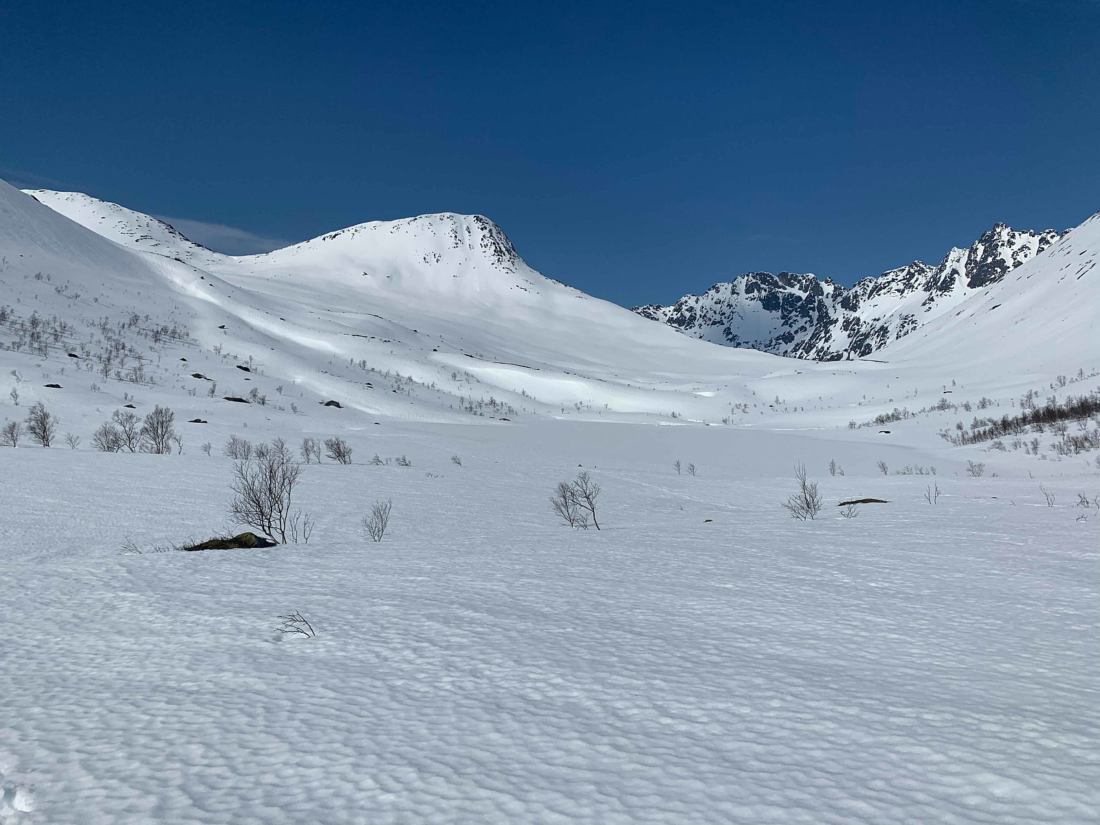
Not the most effective elevation gain and we copped the full force of todays wind. Once we came to the pass we continued on the (somewhat narrow) ridge for a few minutes and soon came to the top.
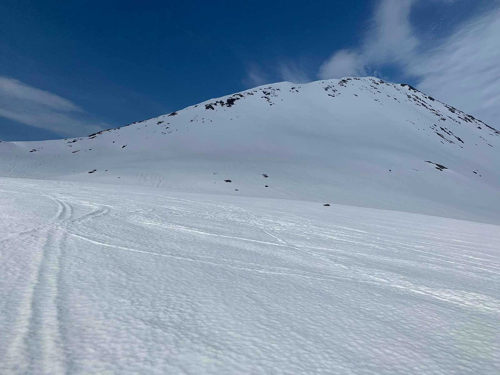
I walked back down most of the ridge to the pass and then skiied down the way we came up, Paal chose a steeper decent down the south east face. Sinnsykt luggeføre, so after skiing down the steepest section we skiied the rest of the way with loose heels, to make the flatter sections easier. Definitely a trip for cold, hard packed snow... Flotte bilder kan sees hos uglefisk (Paal Andre Lund) Takk for turen kjære!


Benutzerkommentare