
Lyderhorn Roundtrip (10.02.2019)

Geschrieben von hbar (Harald Barsnes)

| Startpunkt | Lyngbø Rv. 555 (19m) |
|---|---|
| Endpunkt | Lyngbø Rv. 555 (16m) |
| Tourcharakter | Bergtour |
| Tourlänge | 2h 47min |
| Entfernung | 9,4km |
| Höhenmeter | 507m |
| GPS |
|
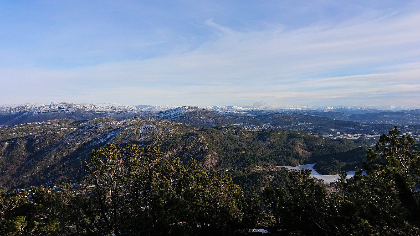
| Besteigungen | Lyderhorn (396m) | 10.02.2019 |
|---|---|---|
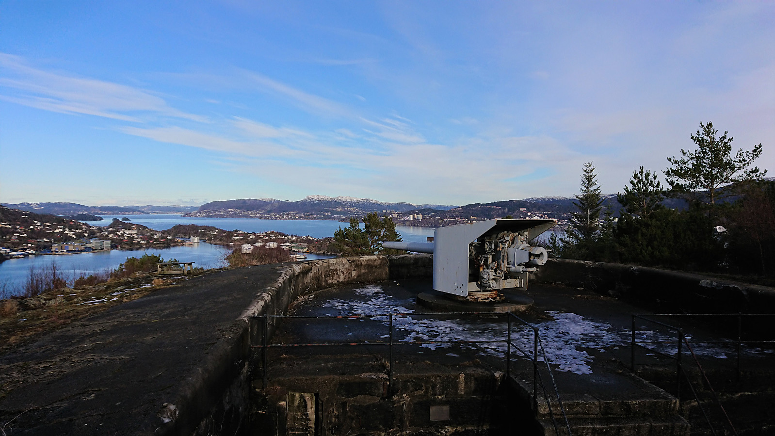
| Besuche anderer PBE | Kvarven fort (125m) | 10.02.2019 |
| Lyderhornhytten (lokalitet) (396m) | 10.02.2019 |
Lyderhorn Roundtrip
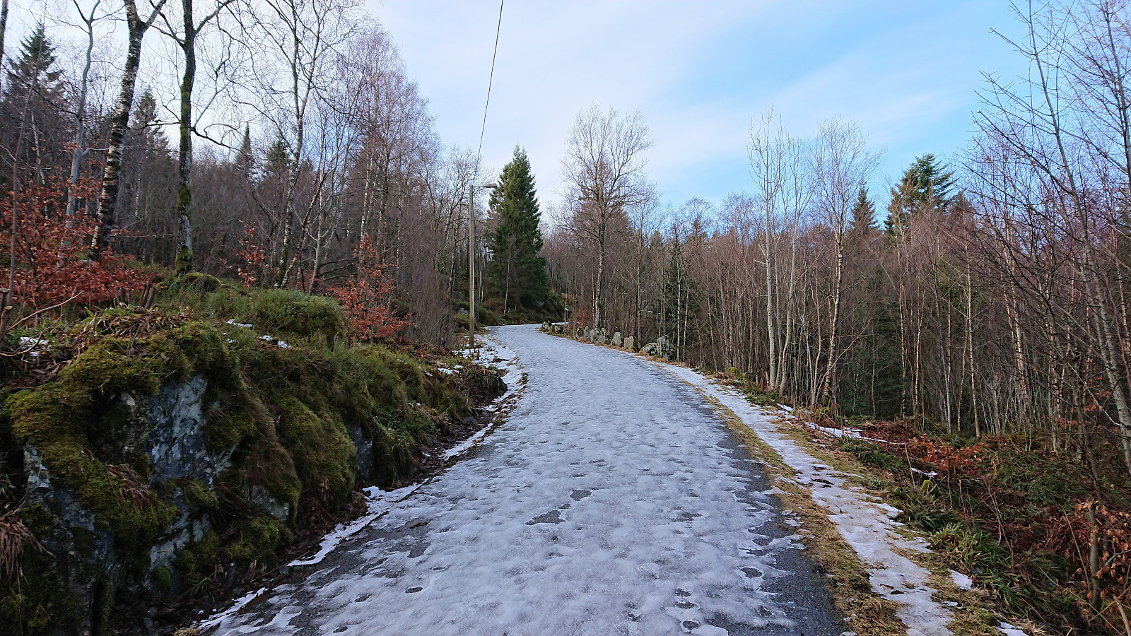
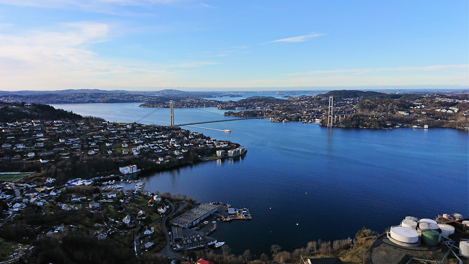
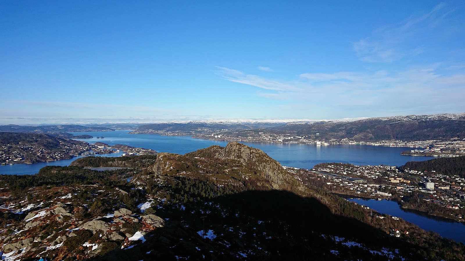
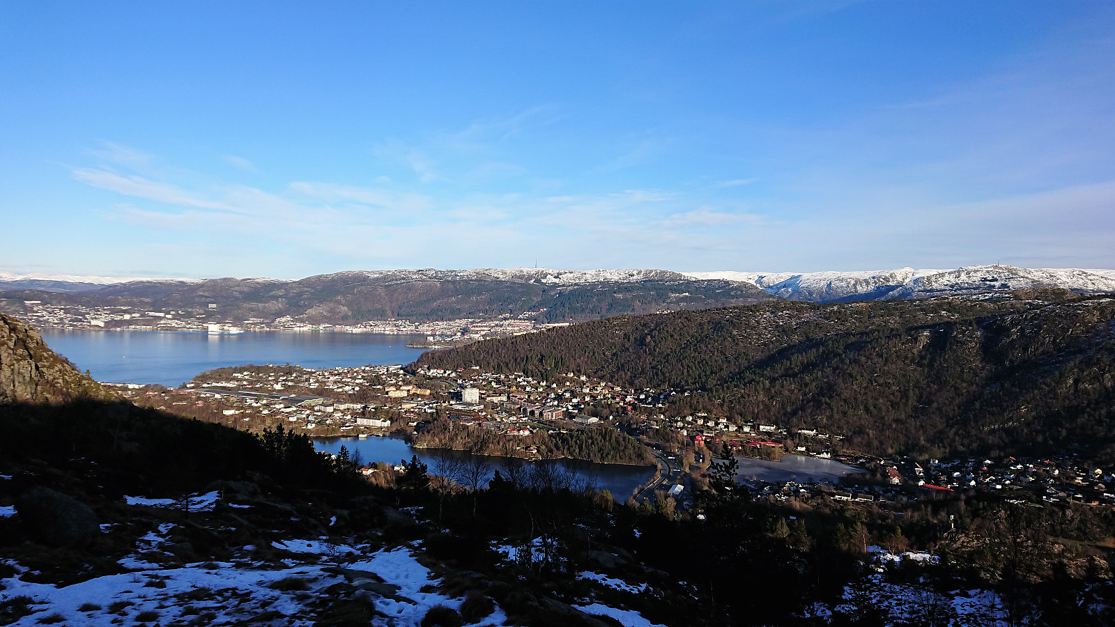
Started by taking the bus to Lyngbø (bus stop called Lyngbø Rv. 555) and following the roads to Kvarven fort. Shortly after starting the ascent the roads turned very icy and I spent more time walking next to the road than on the road itself. When the road changed to trail the conditions shortly improved, but the ice would soon return. I reached the summit of Lyderhorn without any real difficulties though. For my descent I decided on the trial down to Banuren. Rather icy at the beginning and later more stream than trail. Upon reaching Banuren, the hike was completed by walking along the roads back to Lyngbø for the bus home. A nice roundtrip, but probably much nicer when there is less ice.
| Startzeitpunkt | 10.02.2019 12:59 (UTC+01:00) |
| Endzeitpunkt | 10.02.2019 15:47 (UTC+01:00) |
| Gesamtzeit | 2h 47min |
| Zeit in Bewegung | 2h 40min |
| Pausenzeit | 0h 7min |
| Gesamtschnitt | 3,3km/h |
| Bewegungsschnitt | 3,5km/h |
| Entfernung | 9,4km |
| Höhenmeter | 506m |


Benutzerkommentare