
Hodnakletten and Myrsfjellet (15.08.2018)

Skrevet av hbar (Harald Barsnes)

| Startsted | Myking (62moh) |
|---|---|
| Sluttsted | Hauge (25moh) |
| Turtype | Fjelltur |
| Turlengde | 3t 40min |
| Distanse | 13,0km |
| Høydemeter | 555m |
| GPS |
|
| Bestigninger | Hodnakletten (229moh) | 15.08.2018 |
|---|---|---|
| Myrsfjellet (161moh) | 15.08.2018 | |
| Andre besøkte PBE'er | Hodnakletten turbok-kasse (219moh) | 15.08.2018 |
| Myrsfjellet utsiktspunkt (155moh) | 15.08.2018 |
Hodnakletten and Myrsfjellet


Hodnakletten
After reading several trip reports talking about coming across a marked trail on their way to Hodnakletten, I decided to do some digging and found this suggested hike at ut.no: Hodnekletten frå byggefeltet på Myking, referring to a marked trail with wet areas that could be followed all the way to the western summit of Hodnakletten. So I decided to give it a try.
Started by taking the bus to Myking, getting off at the last stop referred to as "Myking, butikken", and from there found my way to the trailhead indicated in the above trip suggestion. As detailed at ut.no, the trail started right to the west of the last house on the north side of the road, and I walked up the short gravel road next to the house hoping to there locate the start of a trail.
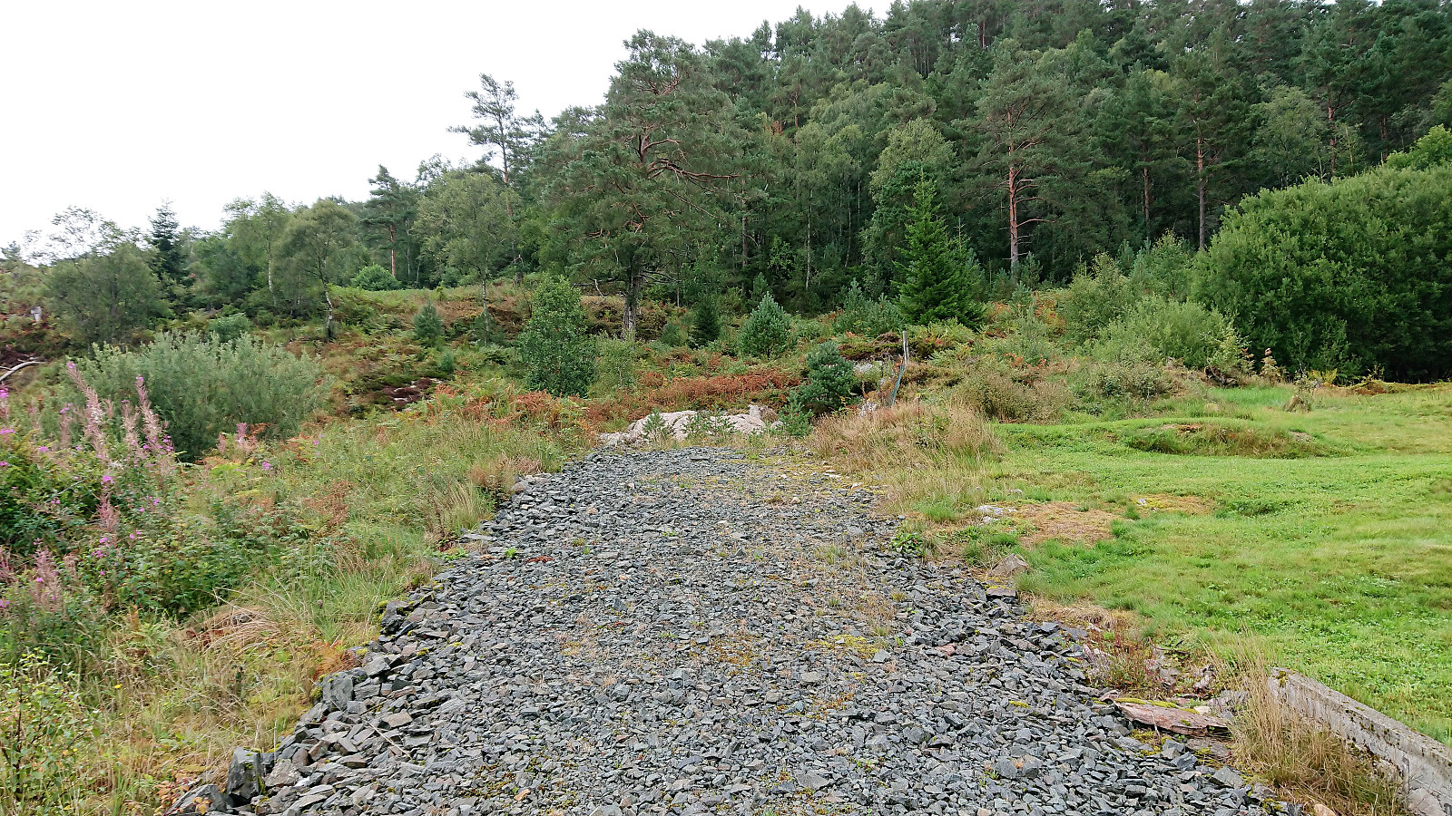
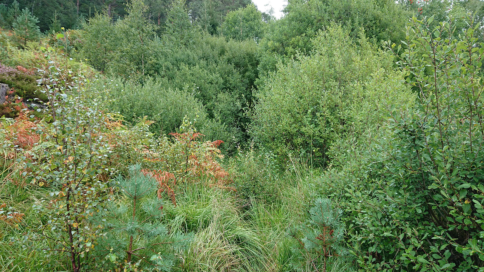
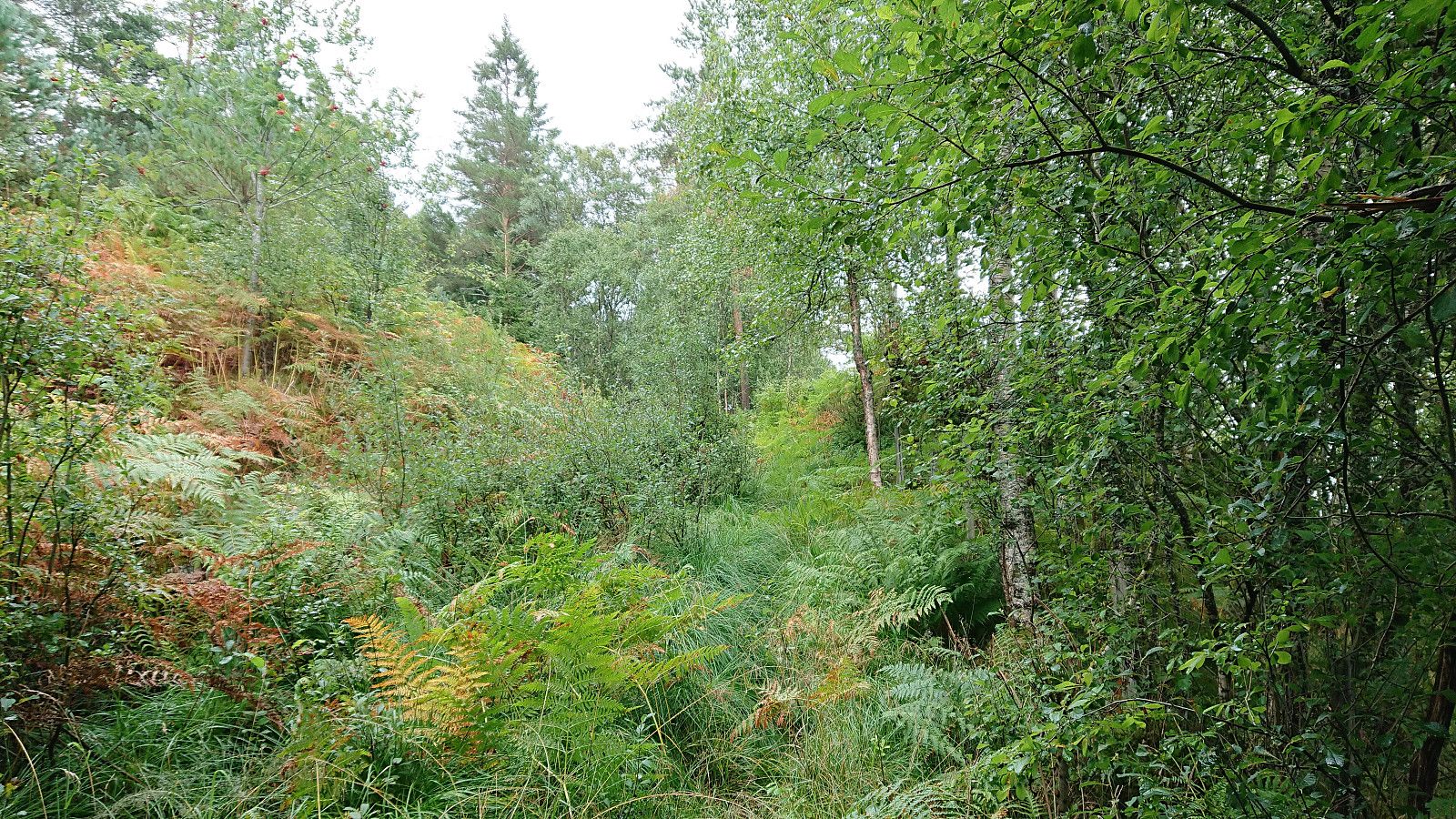
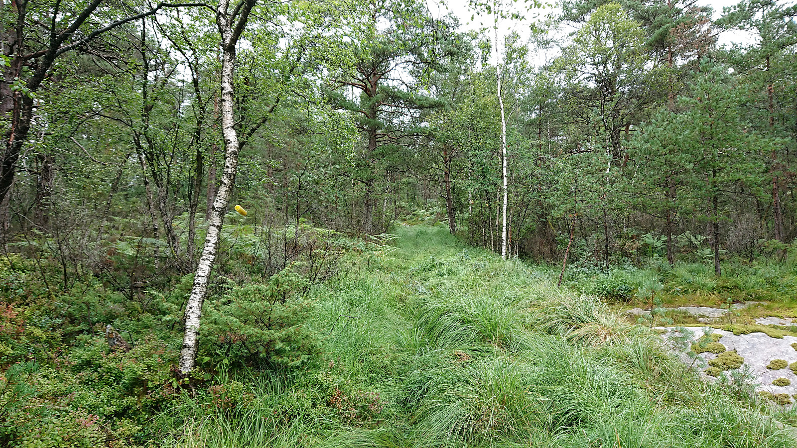
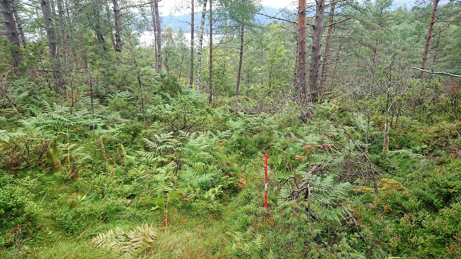
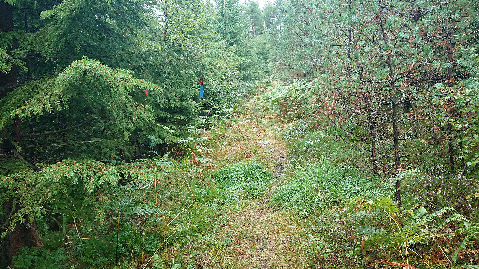
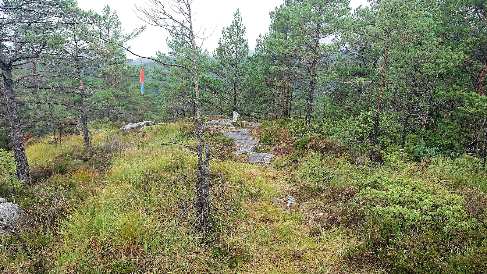
But instead of an easy to follow tractor road (which is what was indicated on the map), I instead found a very weak trail with dense, and on this day very wet, vegetation on either side. Assuming that this would soon improve, I continued anyway. The trail soon changed into what looked like the tractor road I had been expecting, but with low wet vegetation up to and above my knees. Combined with the ground also being very wet this resulted in me getting completely soaked within minutes. The tractor road was later replaced by an equally wet trail, which only improved slightly as it started its climb towards the summit.
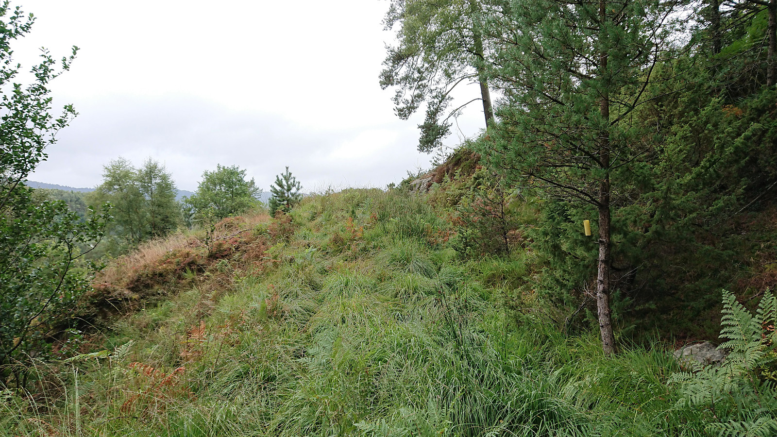
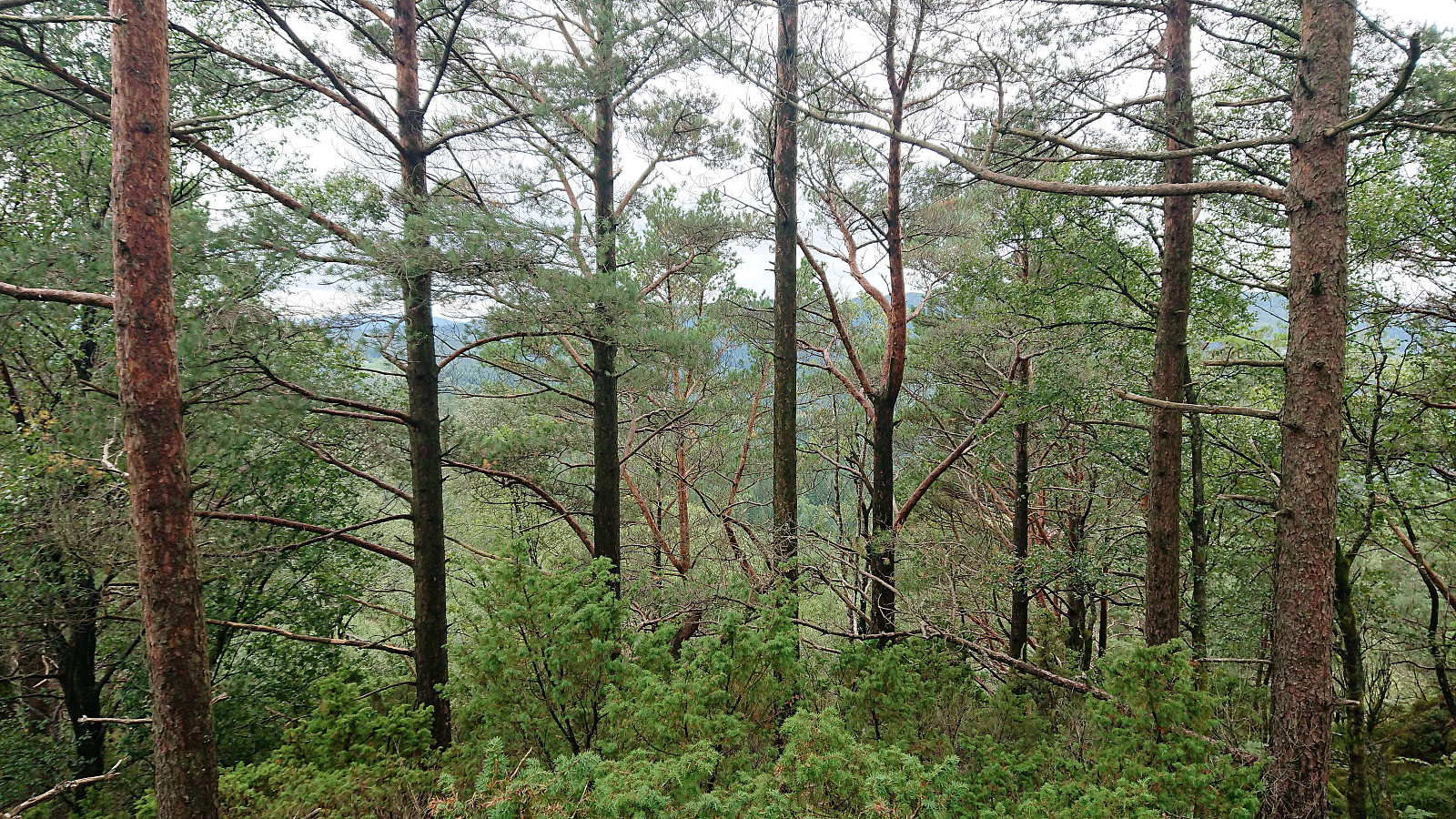
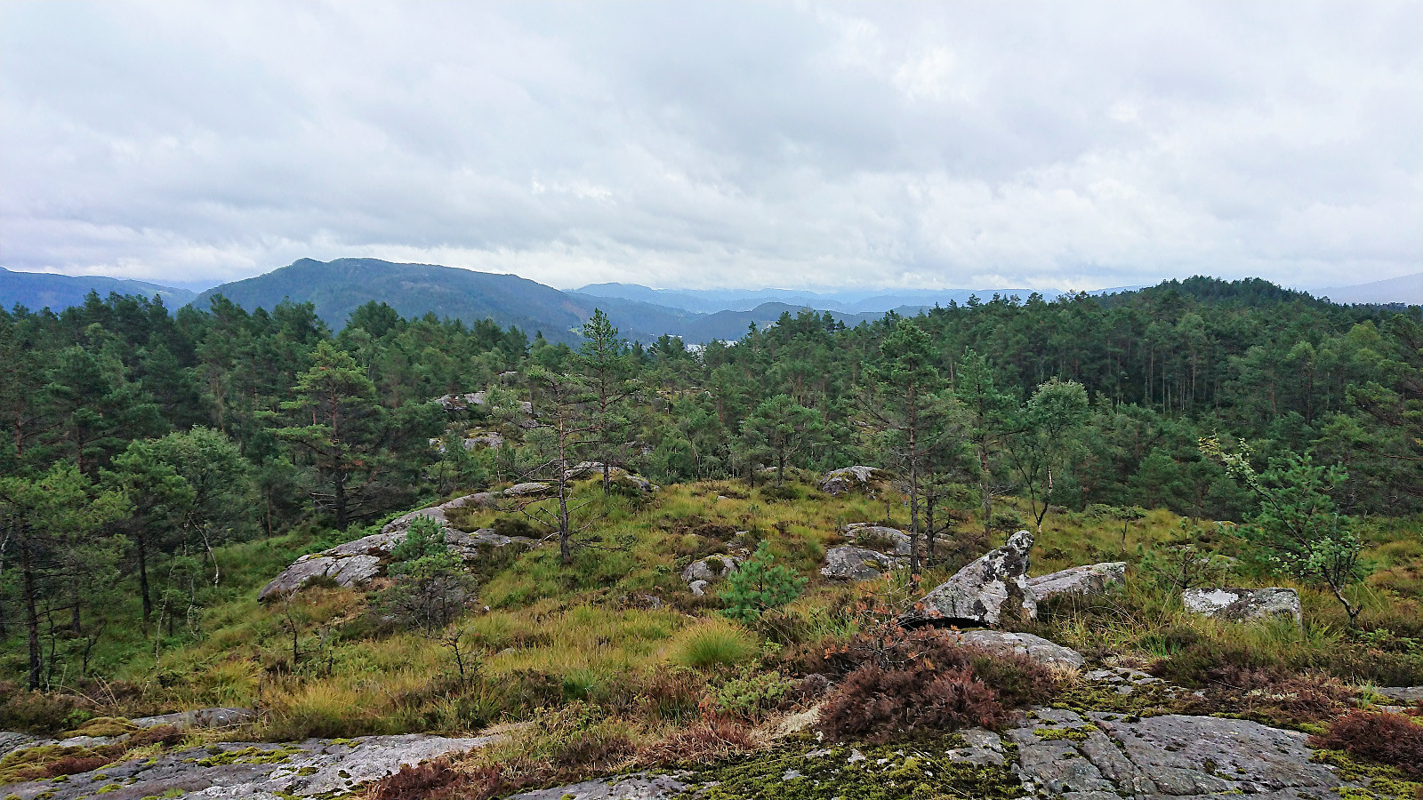
My initial plan had been to continue all the way to the western 219 hill and from there do a quick detour to the 229 summit in the way back. But given the poor trail quality, I decided I did not really feel like returning the same way, and therefore rather left the trail earlier and headed straight for the 229 summit. The summit was straightforward to reach, but provided very limited views and I thus did not stay long before returning to the marked trail and continuing towards the 219 hill.
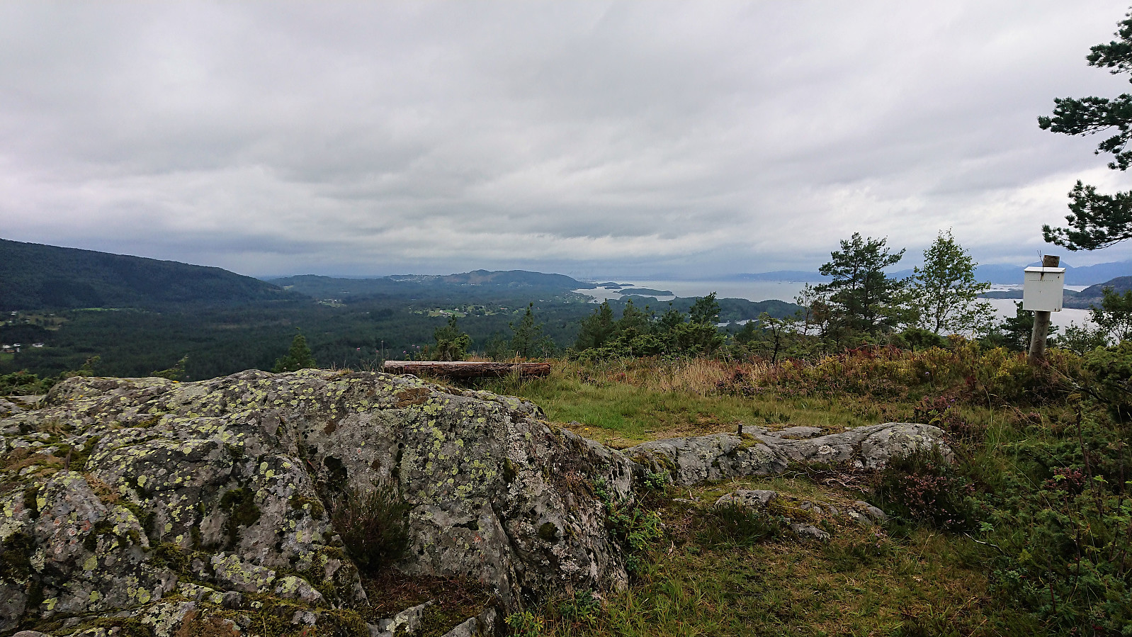
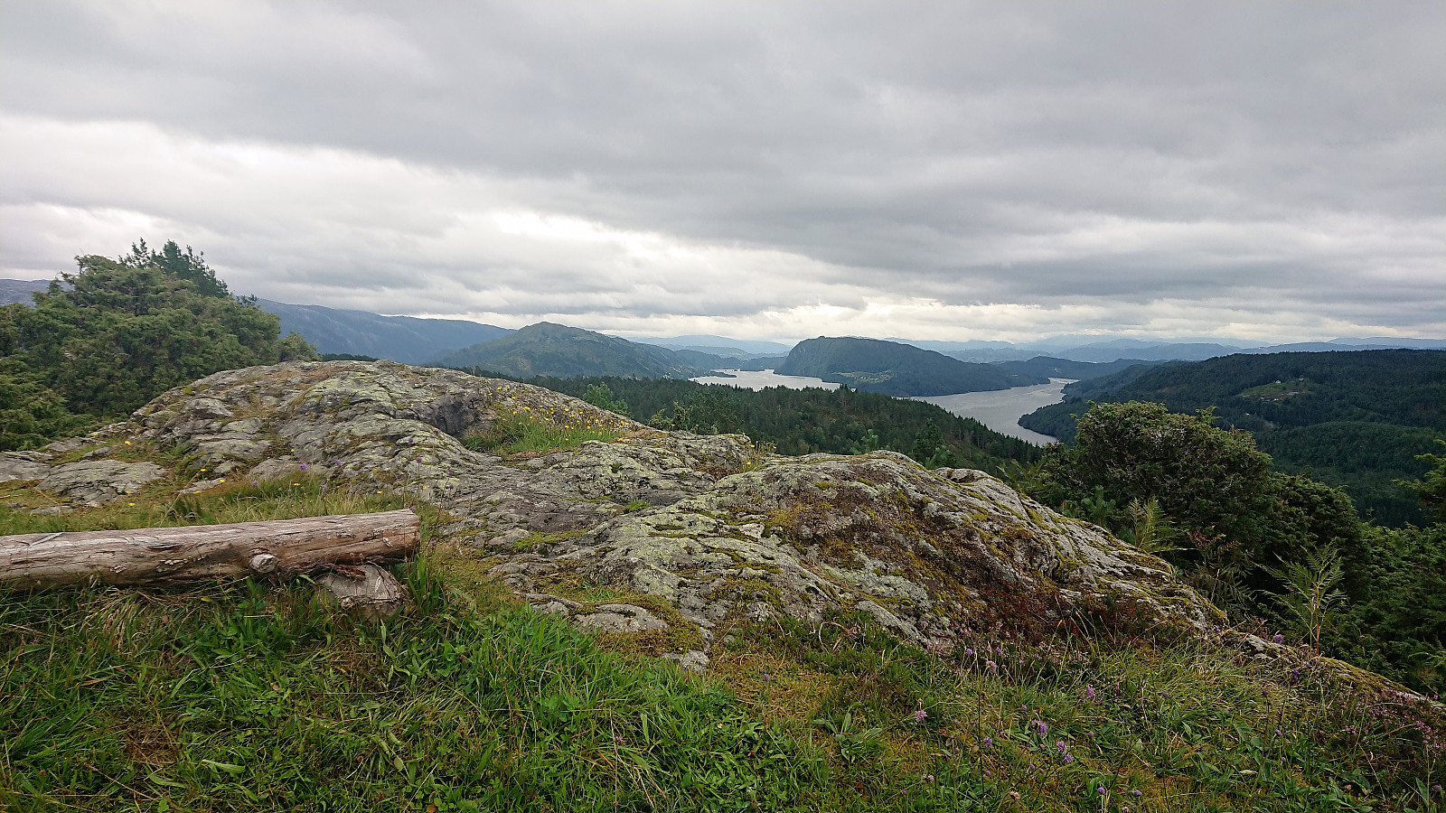
As expected, the marked trail continued all the way to the 219 hill, which included a visitor register and actually provided very nice views. Much better than from the summit itself and now added as a separate PB-element. Worth a visit and obviously where most "normal" hikers would end up.
For my descent, I first started on what I assumed was an alternative trail heading north, as it was indicated by a red plastic road marker. But this trail potential trail soon disappeared and I instead followed the trail south to Hodno, which was straightforward except for a short section where the trail disappeared when crossing a field, just before connecting with a tractor road taking me down to the houses at Geila.
Myrsfjellet
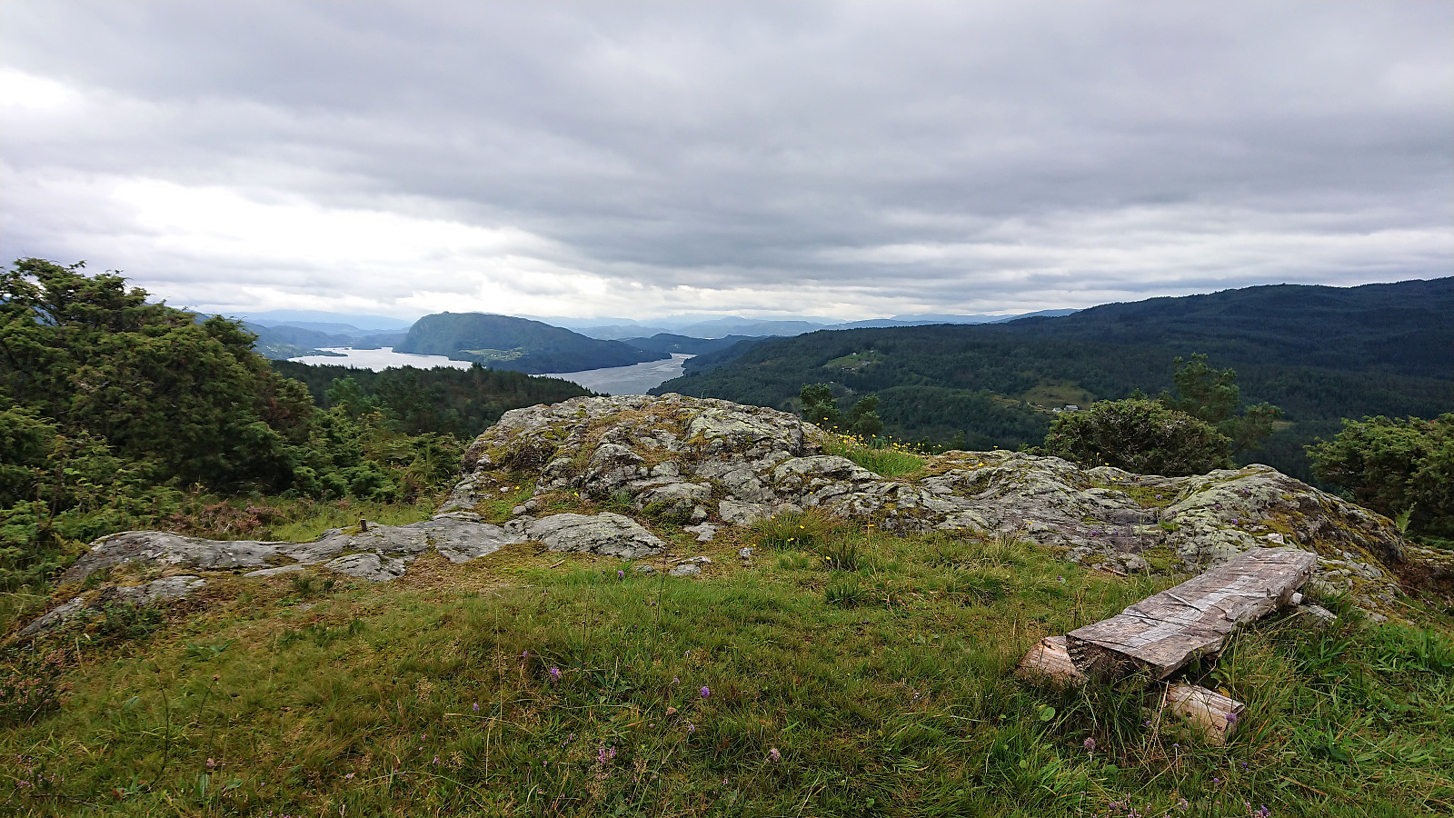
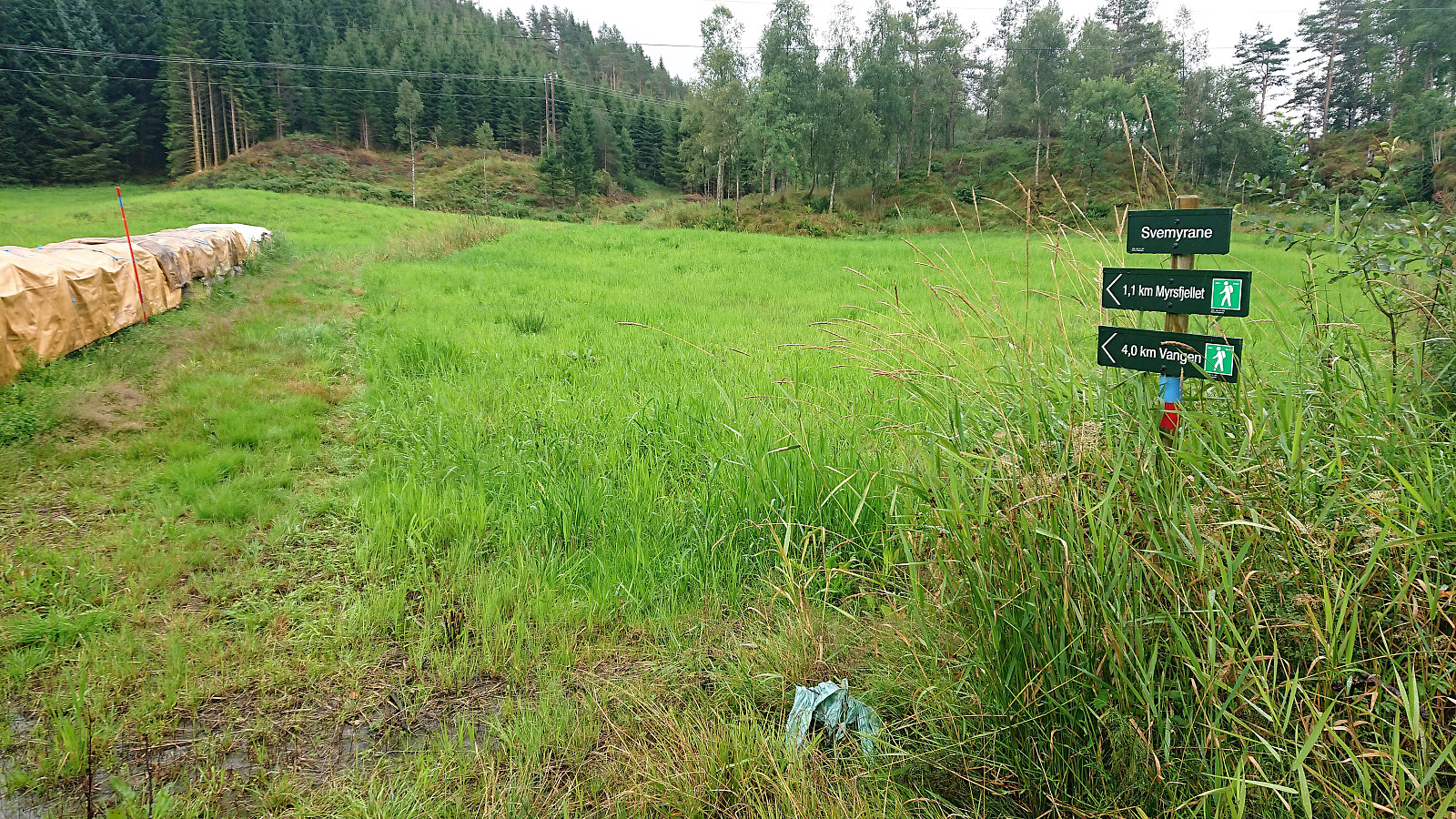
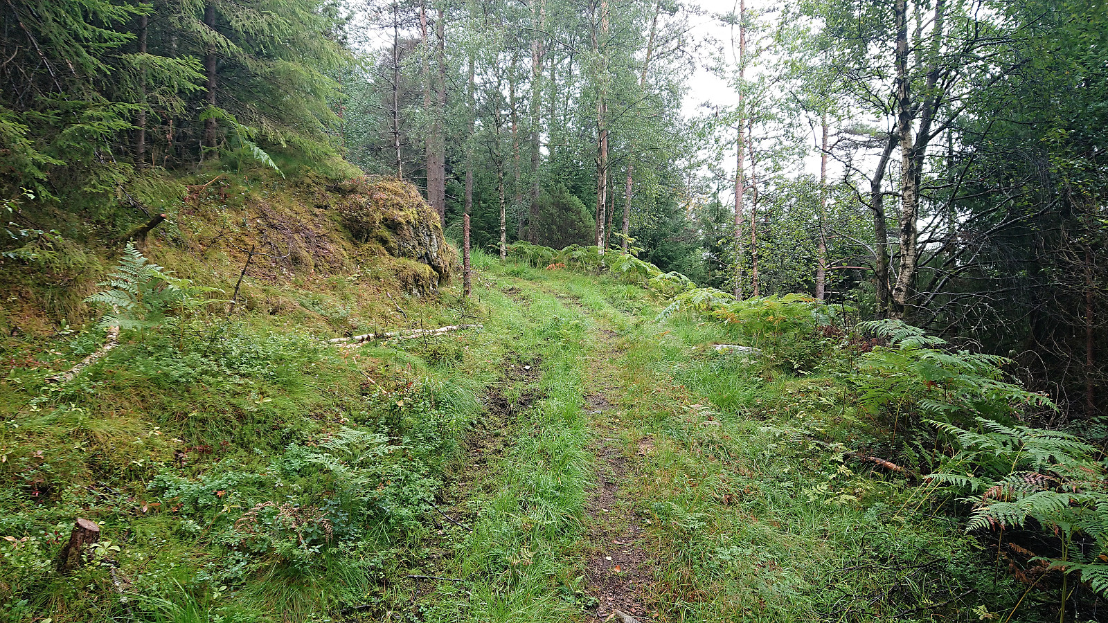
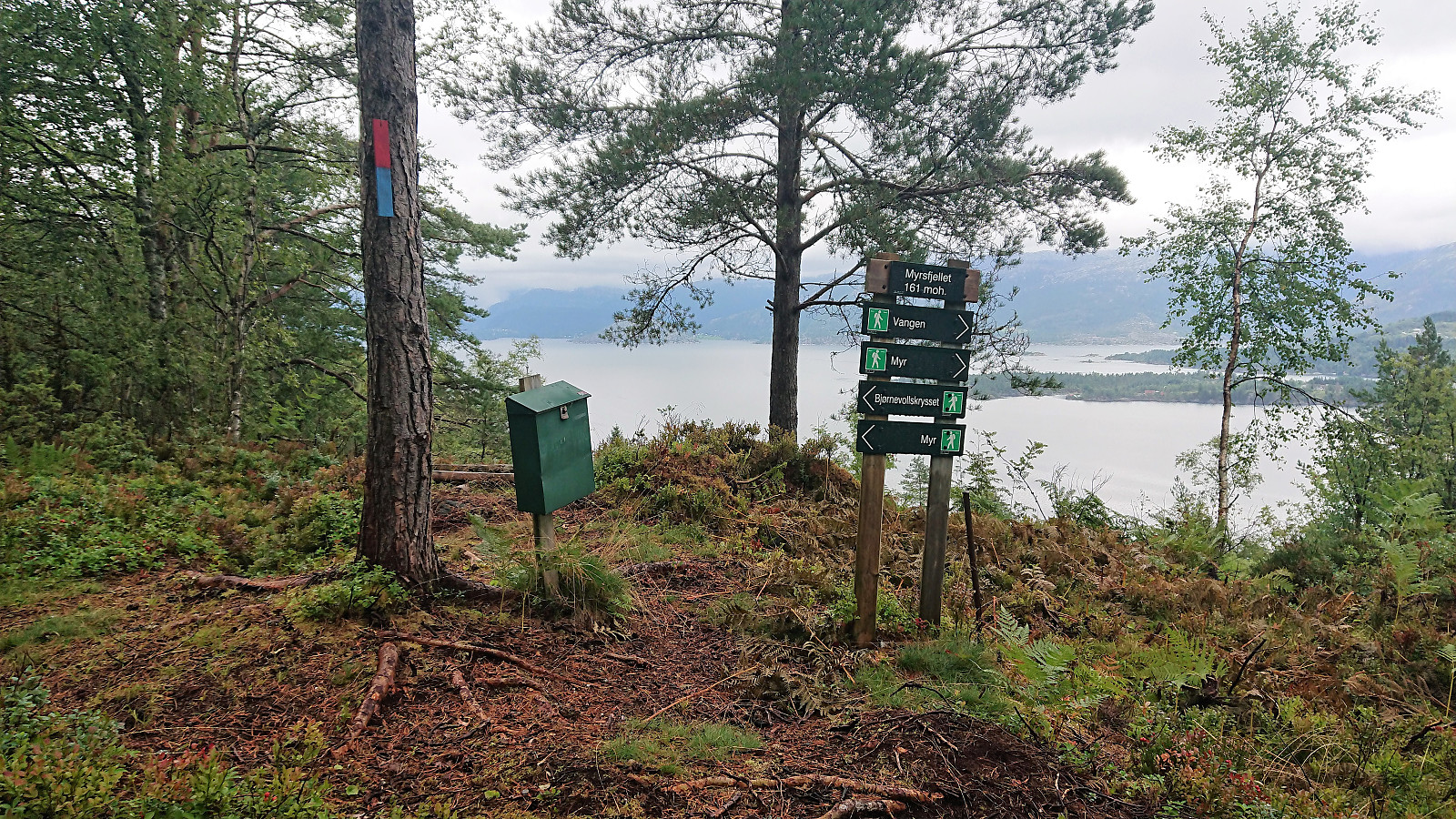
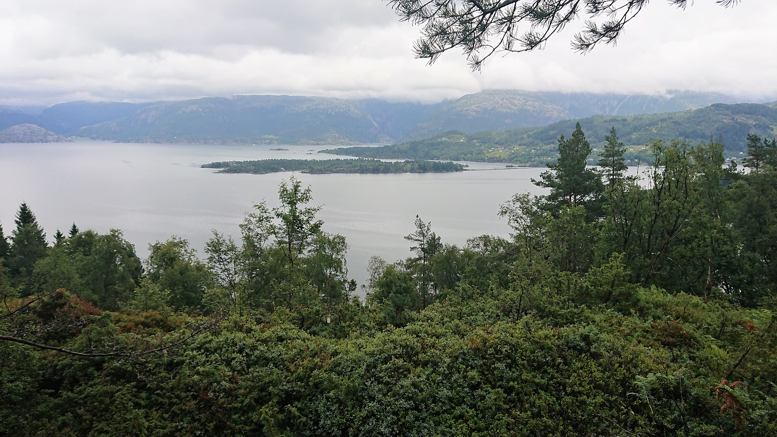
Upon getting back to the bus stop at Myking, I still had plenty of time until the next bus and decided to continue south along the main road with a potential visit of Myrsfjellet on the way. No sidewalks, but very limited traffic. The marked trailhead for Myrsfjellet was easily located by the side of the road, and I followed the marked tractor road and later trail all the way to the marked viewpoint.
At the viewpoint I realized that I had missed the summit itself, which seems to be an unmarked hill close to the trail about 200 meters to the north. Decided not to return to the summit and instead added a new "View East" PB-element where the Myrsfjellet sign was located. Continued south, and later west, on the marked trail to Myr, passing by both horses and sheep on the way. Towards the end, the trail markers became especially useful (they even marked the gates to pass through), as it would otherwise have been more difficult to figure out how to get around the houses and animals in the preferred way.
Still had ten minutes to spare when reaching the first bus stop, so I continued to the next one at Hauge, before taking the bus back to Bergen.
Conclusion
In summary, a very different hike than I had expected. I guess I should have paid more attention to the "contains wet areas" detail in the ut.no hiking suggestion... And while a visit to the 229 summit of Hodakletten cannot really be recommended, the western 219 hill provided very nice views that almost made up for the poor wet trails. Still very much recommended to do this hike in drier conditions though. Myrsfjellet was a more positive experience. And with its well-marked trails and nice views along the way it made for a more enjoyable end to the hike.
| Starttidspunkt | 15.08.2018 12:01 (UTC+01:00 ST) |
| Sluttidspunkt | 15.08.2018 15:42 (UTC+01:00 ST) |
| Totaltid | 3t 40min |
| Bevegelsestid | 3t 30min |
| Pausetid | 0t 10min |
| Snittfart totalt | 3,5km/t |
| Snittfart bevegelsestid | 3,7km/t |
| Distanse | 13,0km |
| Høydemeter | 555m |


Kommentarer