
Tveitakvitingen and Høganova (10.07.2018)

Skrevet av hbar (Harald Barsnes)

| Startsted | Furedalen (363moh) |
|---|---|
| Sluttsted | Furedalen (365moh) |
| Turtype | Fjelltur |
| Turlengde | 6t 35min |
| Distanse | 23,0km |
| Høydemeter | 1311m |
| GPS |
|
| Bestigninger | Gråfjellet (1034moh) | 10.07.2018 |
|---|---|---|
| Gråskorvenuten (970moh) | 10.07.2018 | |
| Høganova (1101moh) | 10.07.2018 | |
| Såta (802moh) | 10.07.2018 | |
| Tveitakvitingen (1299moh) | 10.07.2018 |
Tveitakvitingen and Høganova
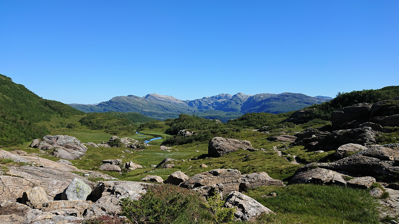

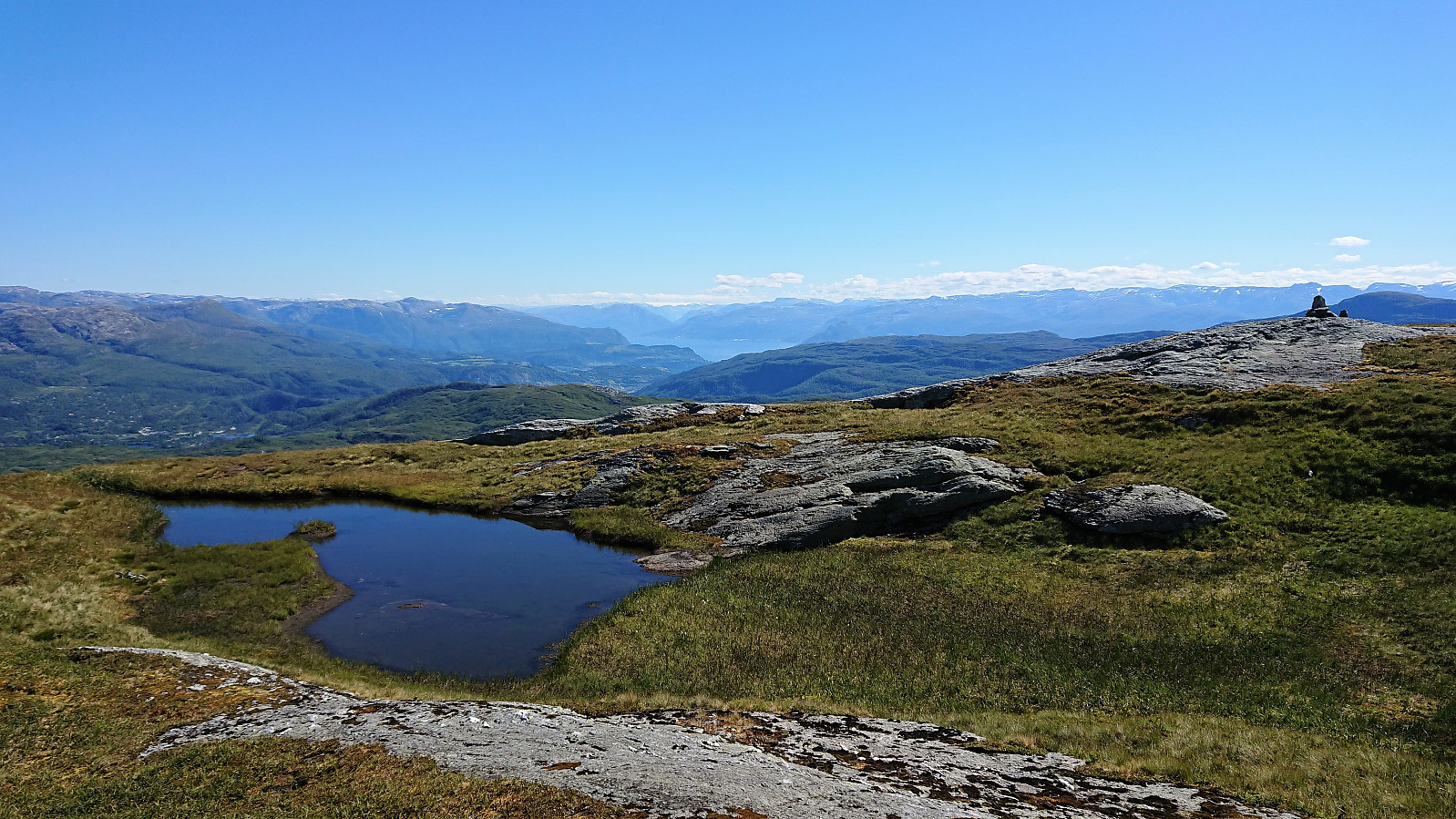

Såta, Gråskorvenuten and Gråfjellet
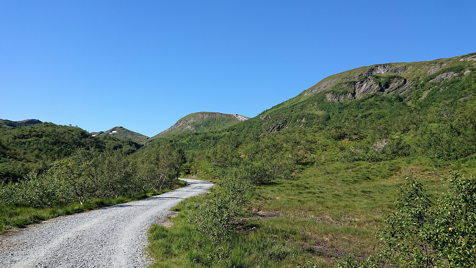
Started by taking the bus to Furedalen and from there following the gravel road, and later trail, south. Made quick visits to Såta, Gråskorvenuten and Gråfjellet before starting my final ascent towards Tveitakvitingen.
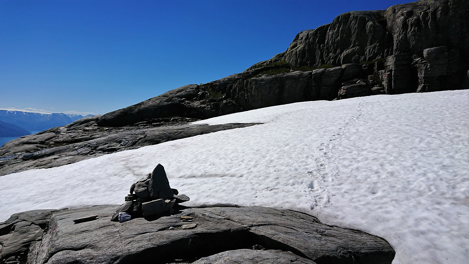
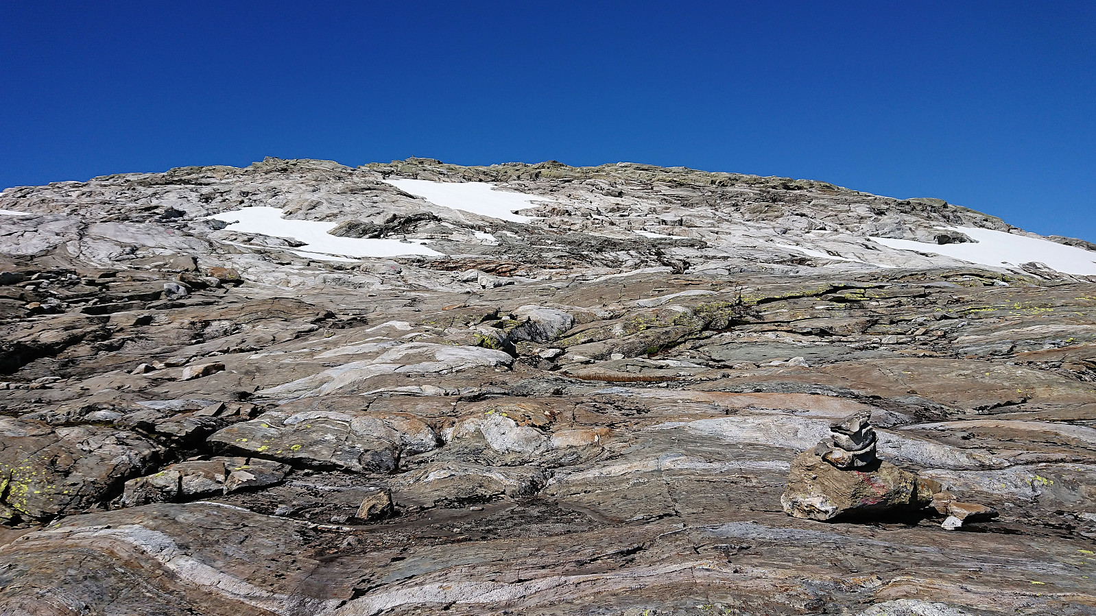
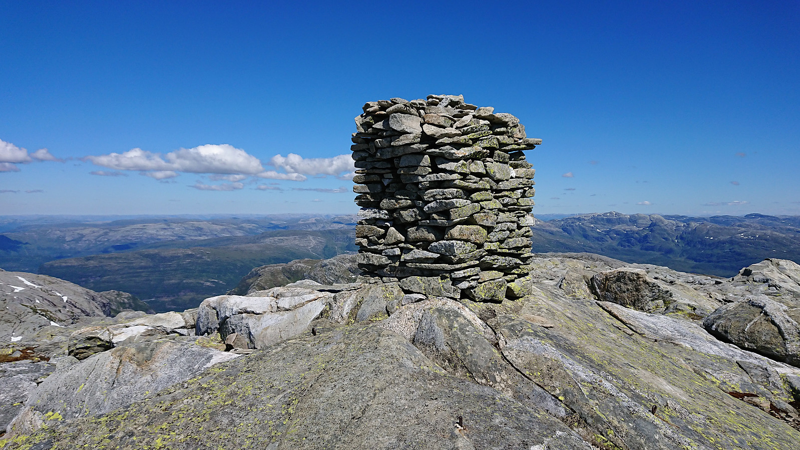
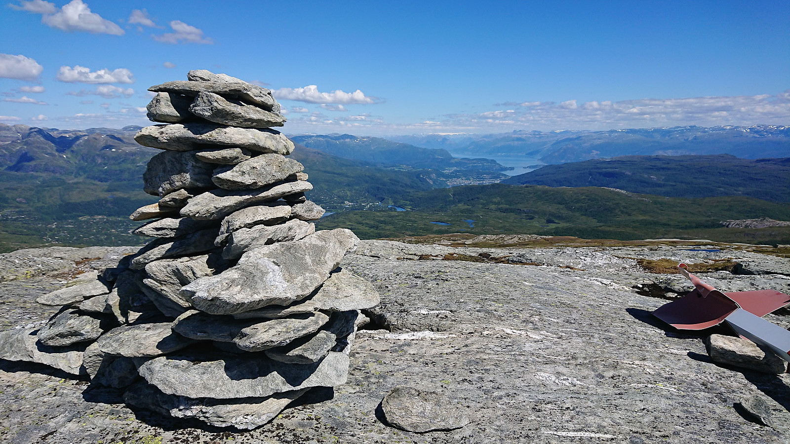
Tveitakvitingen
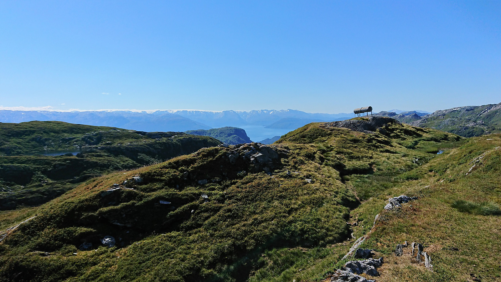
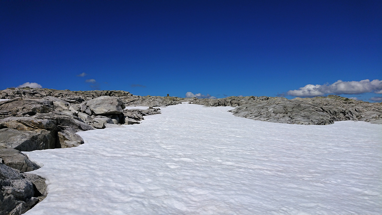
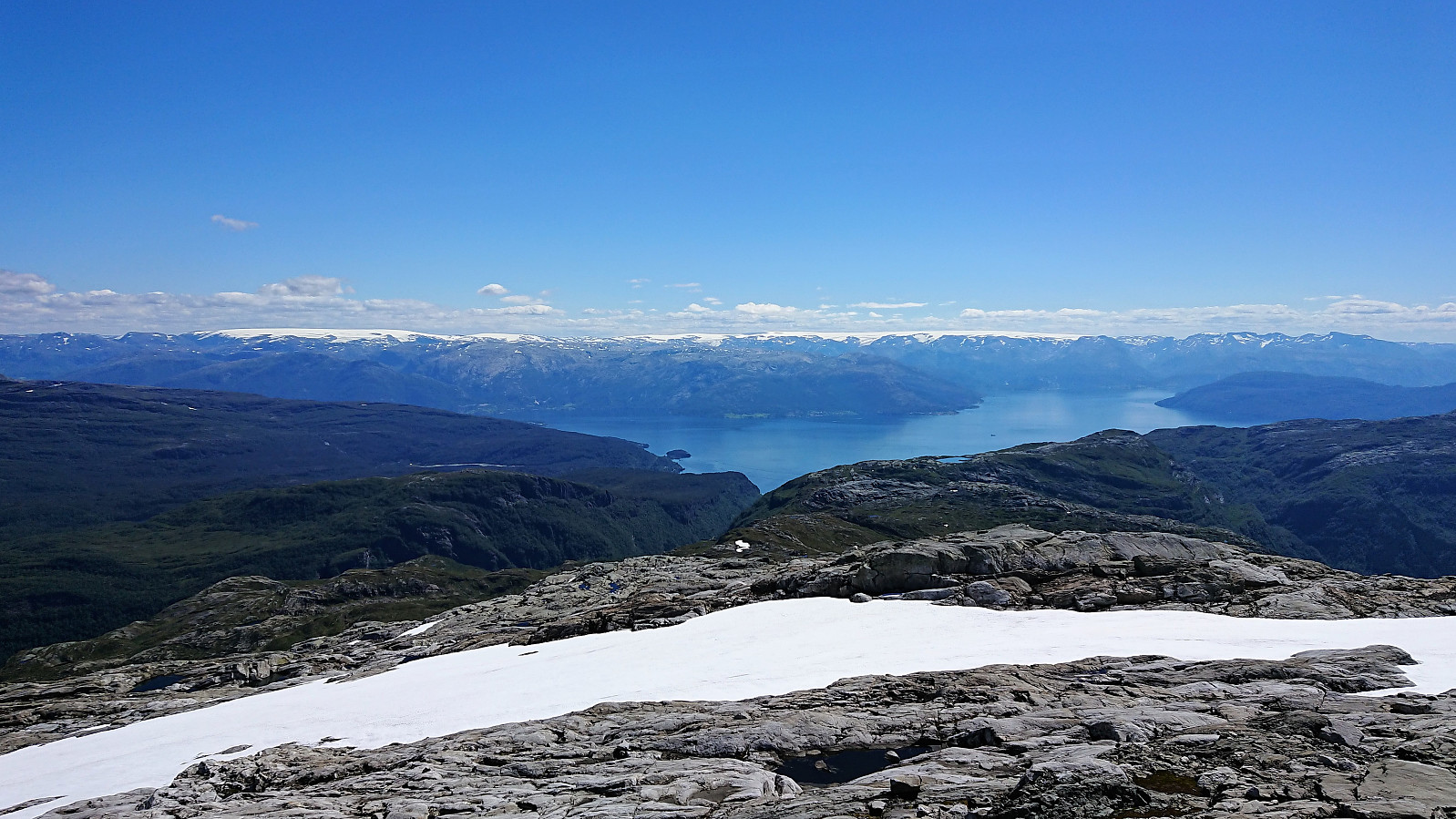
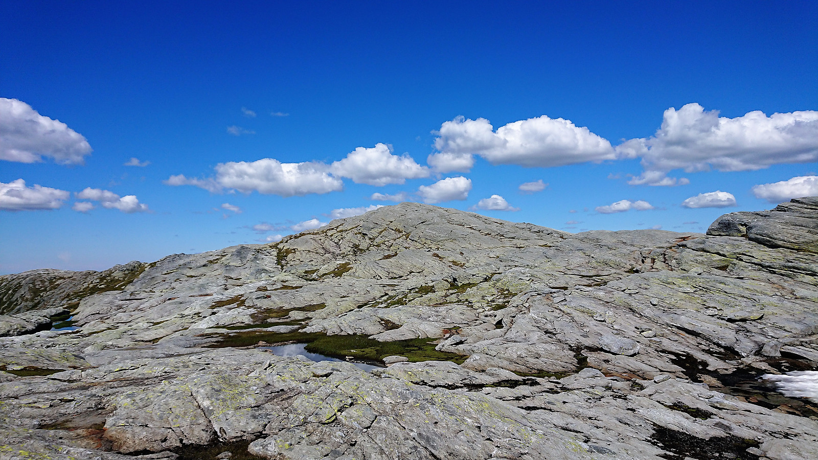
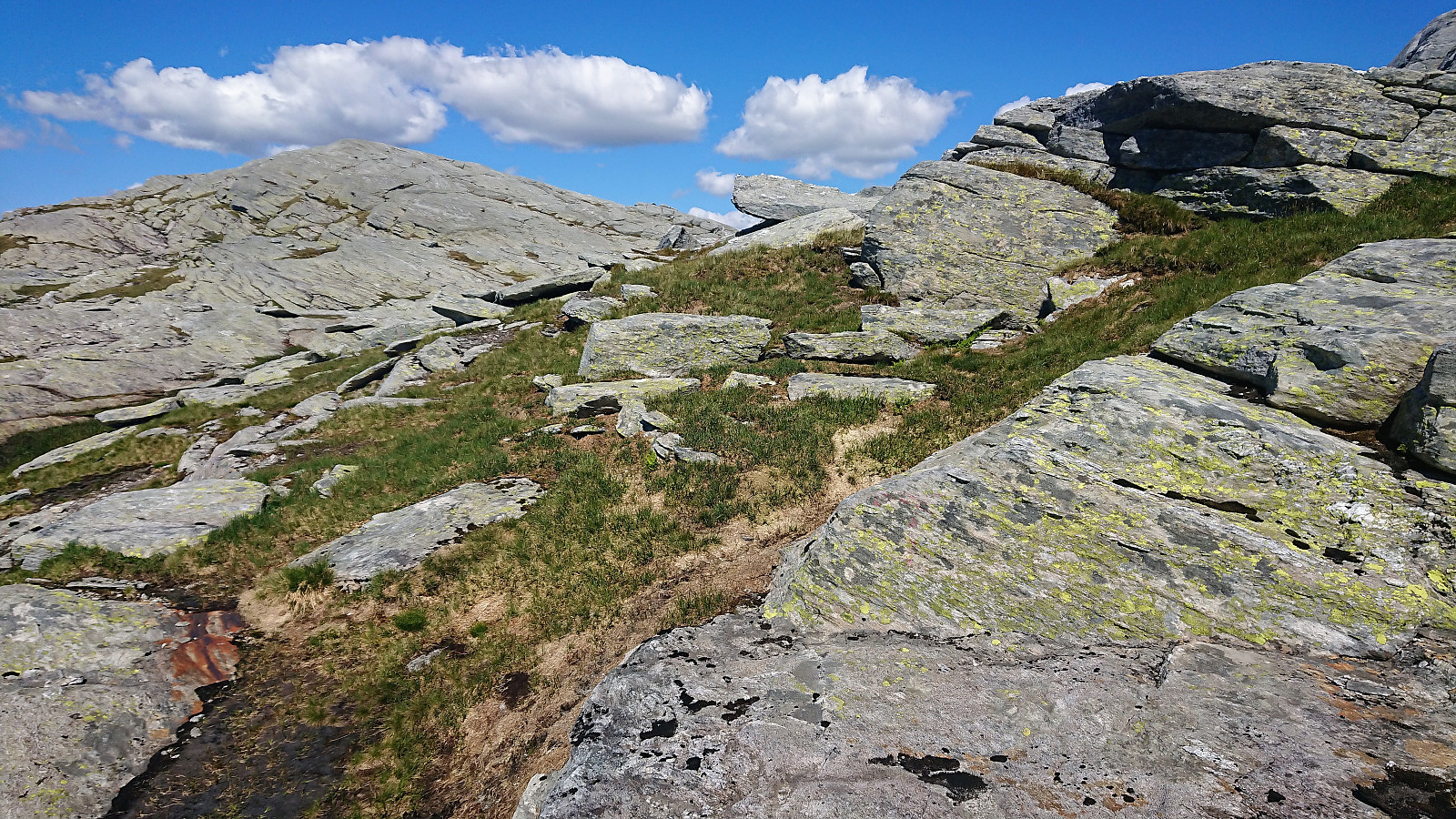
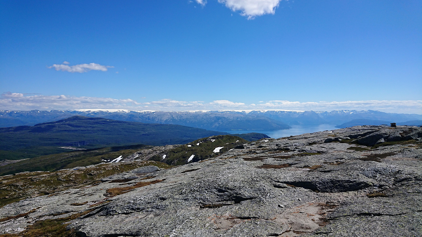
Until this point the trail was easy to follow (with the exception of the lack of trails to/from Gråskorvenuten and Gråfjellet), but while there were markers (red painted dots and arrows) for the last stretch towards Tveitakvitingen as well, these were frequently hidden beneath the snow and thus knowing exactly where the trail was supposed to be was a bit more difficult. The summit provided excellent 360 degrees views, but is more of a highest point at a large plateau than a single peak, which was a bit disappointing.
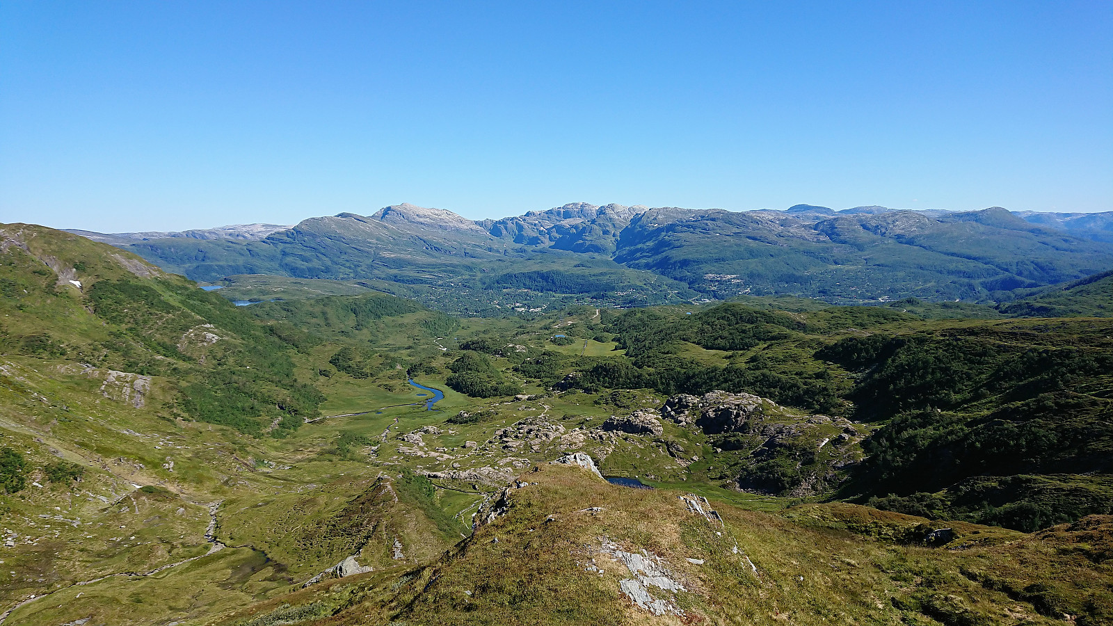
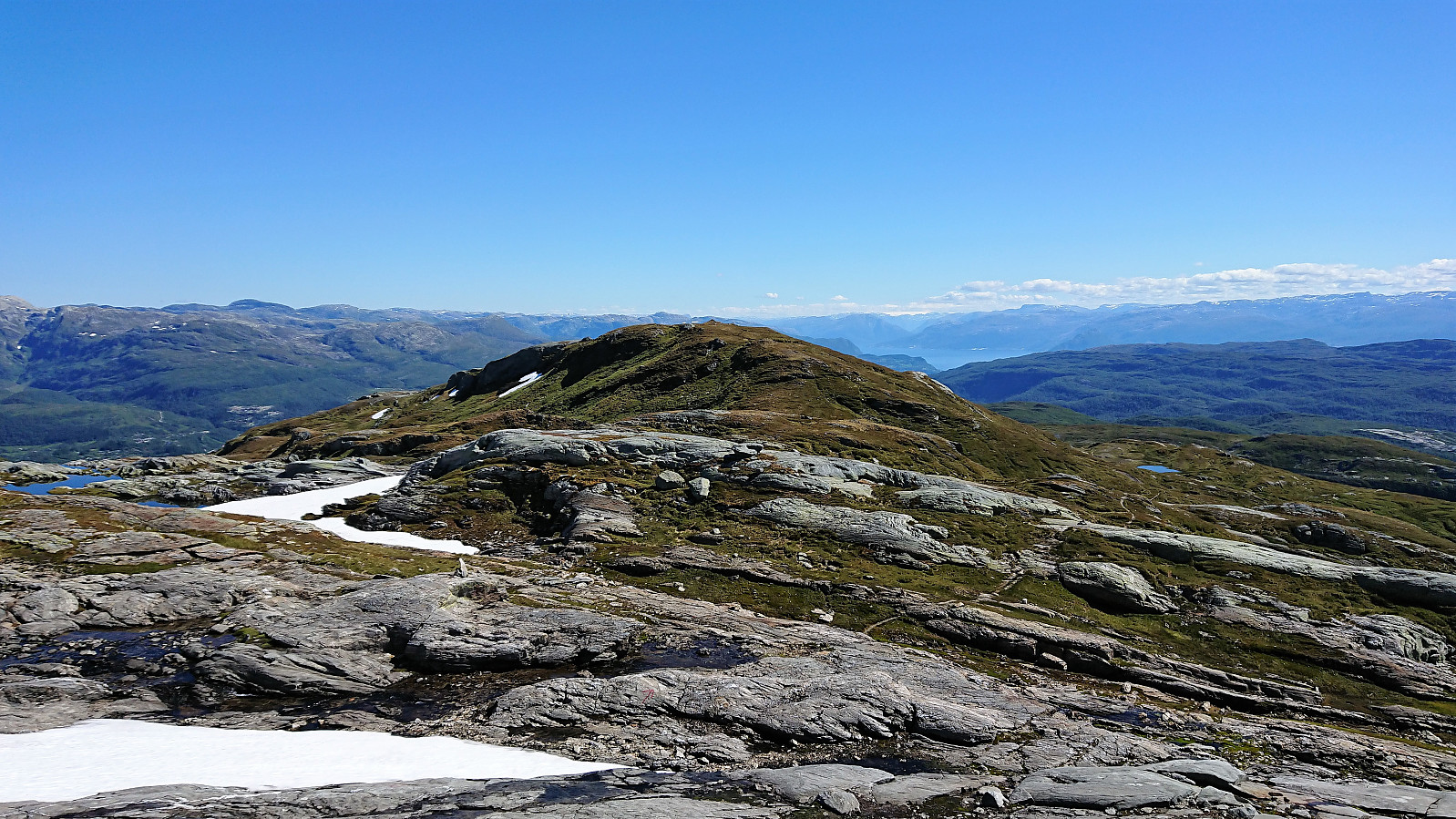
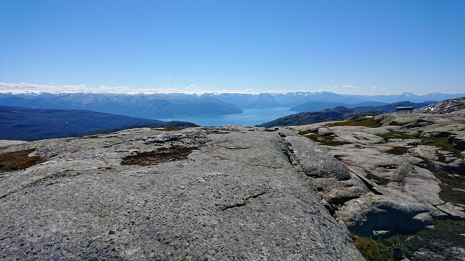
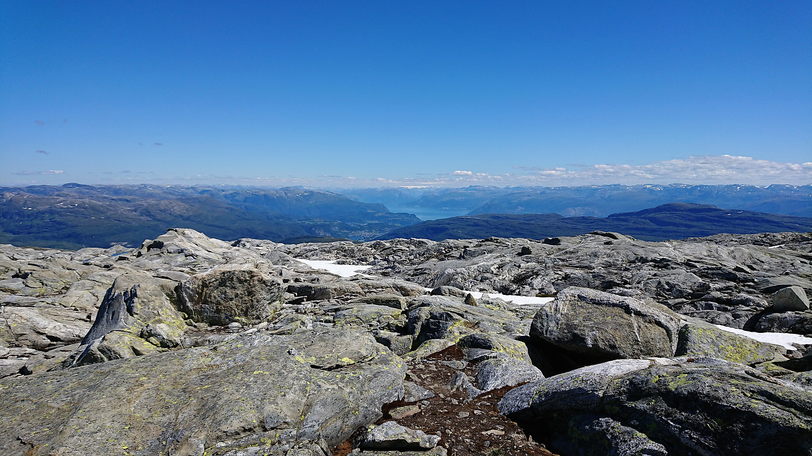
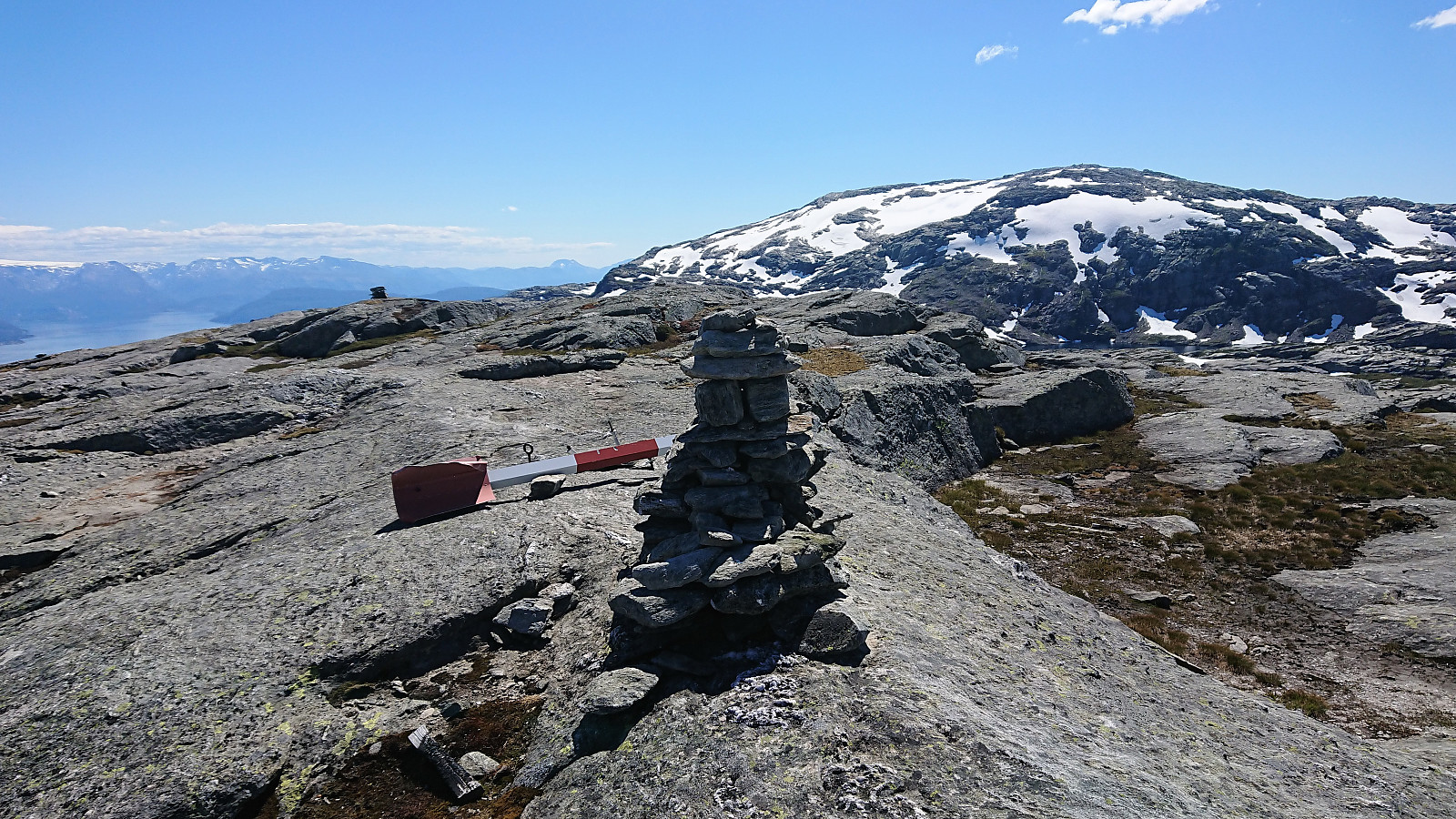
Høganova
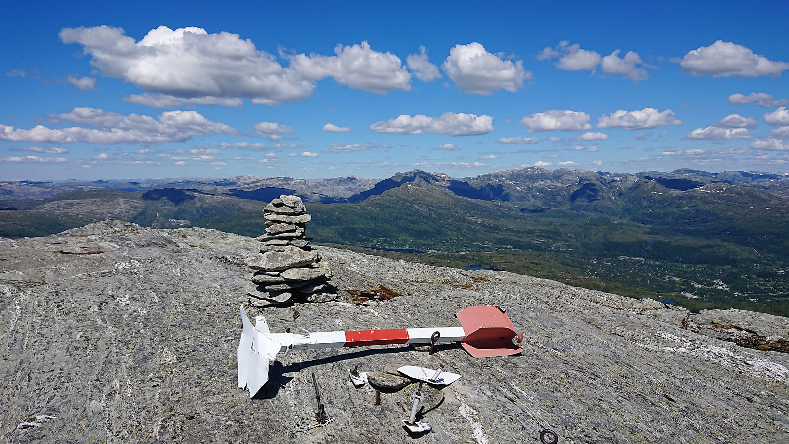
From the summit I returned more or less the same route back down to Gråfjellet, before heading north towards Høganova. Here a trail was indicated on the map, but besides the odd faint red T, I did not notice any difference between being on and off the trail. The terrain was pretty much only solid rock though, so making progress was still straightforward. Høganova provided nice views, including a great overview of most of the cabin area at Kvamskogen.
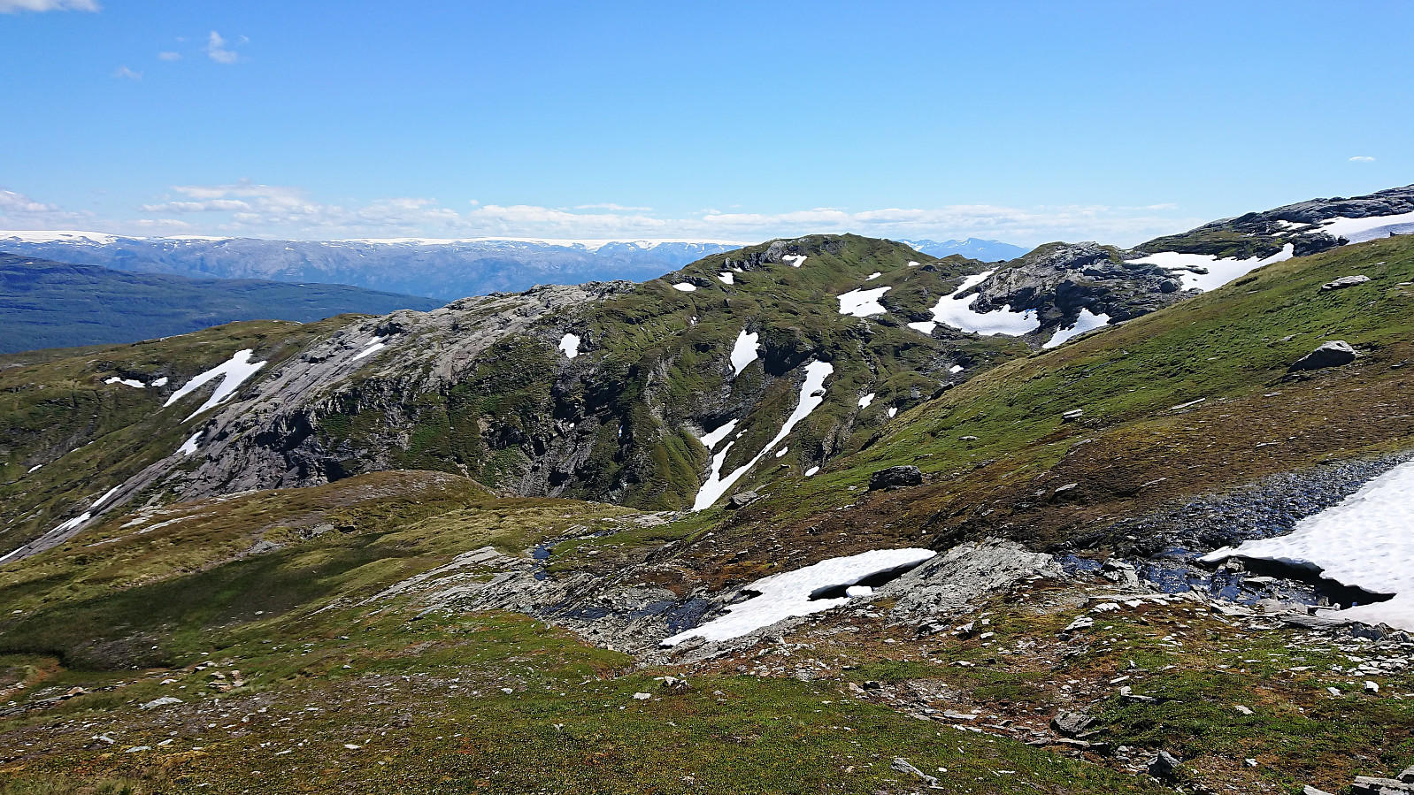
Fossdalshorga, Fossdal and Fossdalsvatnet
All that now was left was not to return to the main road at Furedalen. Again, a trail was here indicated on the map, but it was weak or non-existent until getting close to Fossdal, where I ironically ended up losing the trail and had to go for a shortcut through the terrain to relocate it. From there on it was straightforward to follow the trail down to the gravel road, making it to the bus stop with just minutes to spare, only to be left waiting 15 minutes for a delayed bus.
Conclusion
In summary, a very nice hike that can be highly recommended. The visits to Gråskorvenuten and Gråfjellet can easily be skipped without missing much though, as the views from these summits do not provide anything that cannot be obtained from the other peaks.
Note that due to the high chance of losing the trail, it is probably recommended to only visit Tveitakvitingen and Høganova in good weather.


| Starttidspunkt | 10.07.2018 09:34 (UTC+01:00 ST) |
| Sluttidspunkt | 10.07.2018 16:10 (UTC+01:00 ST) |
| Totaltid | 6t 35min |
| Bevegelsestid | 5t 54min |
| Pausetid | 0t 42min |
| Snittfart totalt | 3,5km/t |
| Snittfart bevegelsestid | 3,9km/t |
| Distanse | 23,0km |
| Høydemeter | 1310m |


Kommentarer