
Vindeggene and Djupedalseggene (01.07.2018)

Skrevet av hbar (Harald Barsnes)

| Startsted | Ostereidet skole (85moh) |
|---|---|
| Sluttsted | Ostereidet skole (85moh) |
| Turtype | Fjelltur |
| Turlengde | 6t 16min |
| Distanse | 21,3km |
| Høydemeter | 971m |
| GPS |
|
| Bestigninger | Djupedalseggene (447moh) | 01.07.2018 |
|---|---|---|
| Vindeggene (388moh) | 01.07.2018 | |
| Andre besøkte PBE'er | Høyeste punkt Djupedalseggene (448moh) | 01.07.2018 |
Vindeggene and Djupedalseggene


Vindeggene
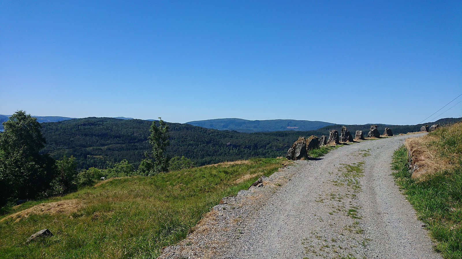
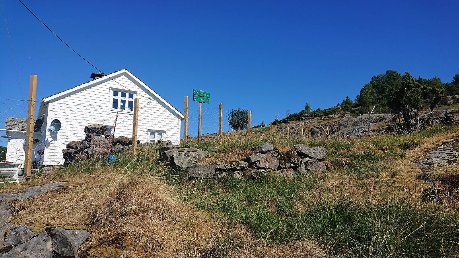
We left our car as the only car at the parking lot at Ostereidet Skule (it was a Sunday after all) and decided to walk along the road to Storset. Started out as a paved road, but soon changed into a rather steep gravel road as it started its climb towards Storset. Here we easily located the marked trailhead, but the trail itself was initially a more difficult to see. This did improve somewhat within not too long though, and soon we could also spot Vindeggene in the distance.
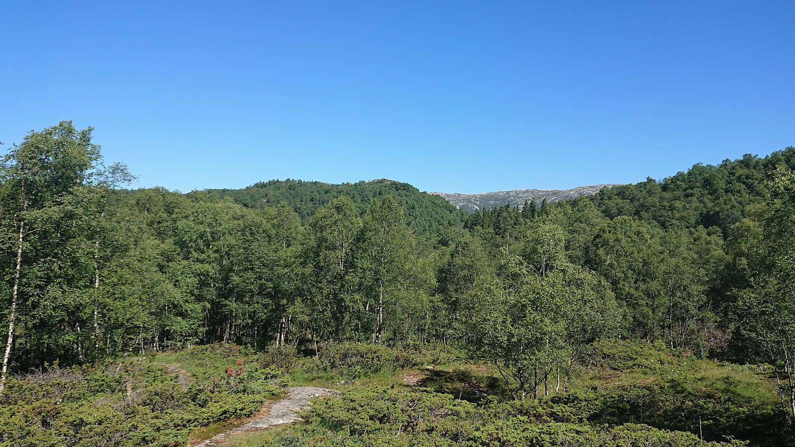
The unmarked trail was still weak at times and there were several crossroads where it was unclear which path to follow. The trail we ended up following took us west/northwest of the summit, where it continued northwest towards Djupedalseggene, which seems to be the most visited of the two peaks.
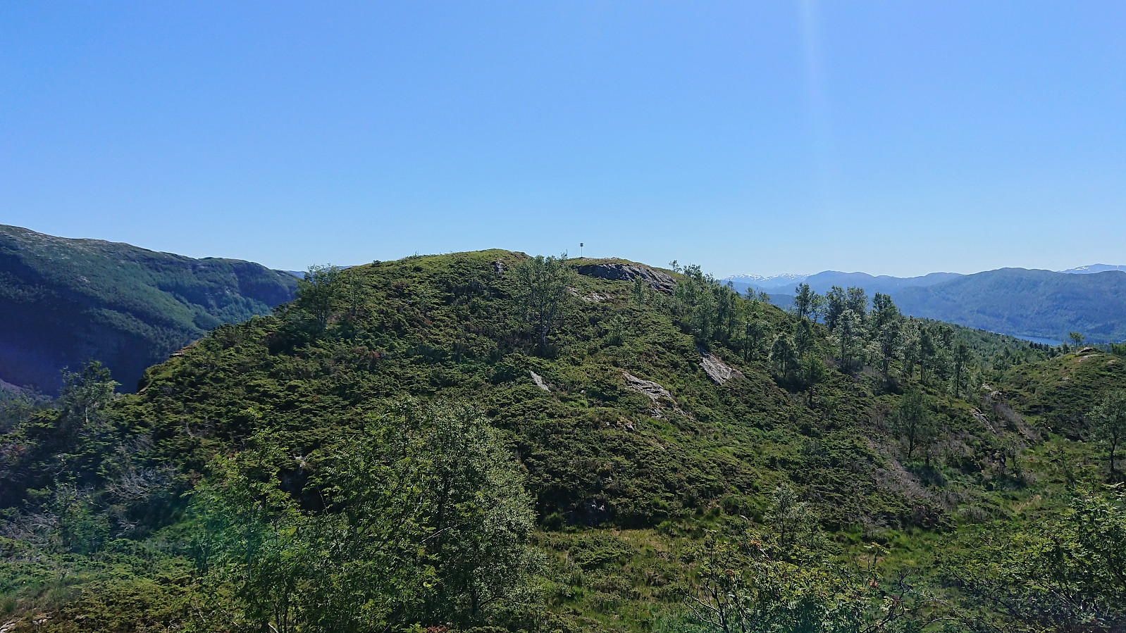
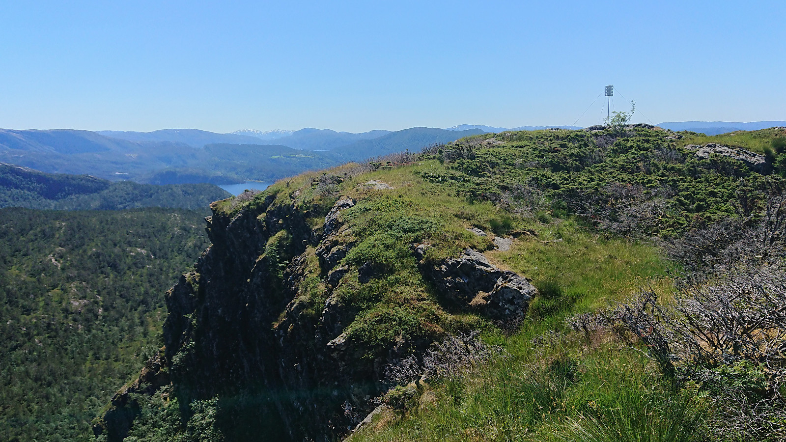
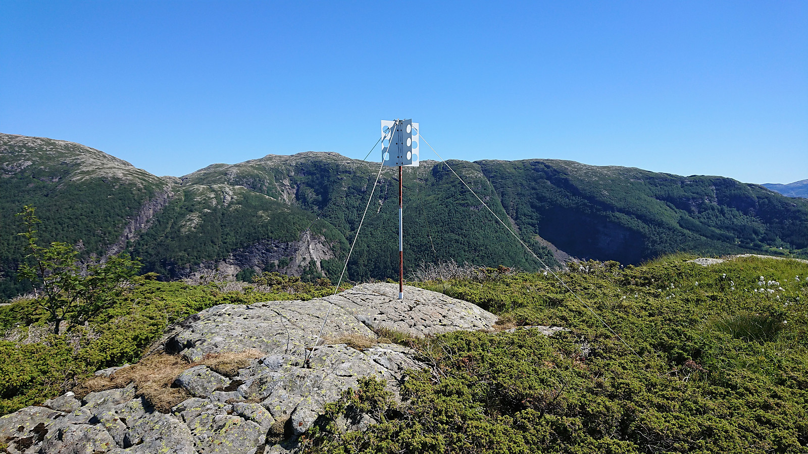
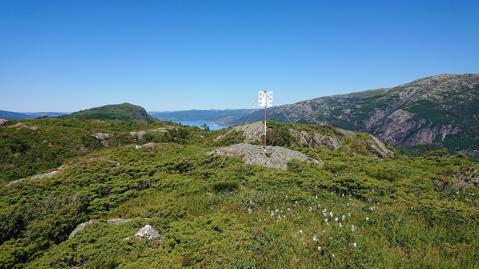
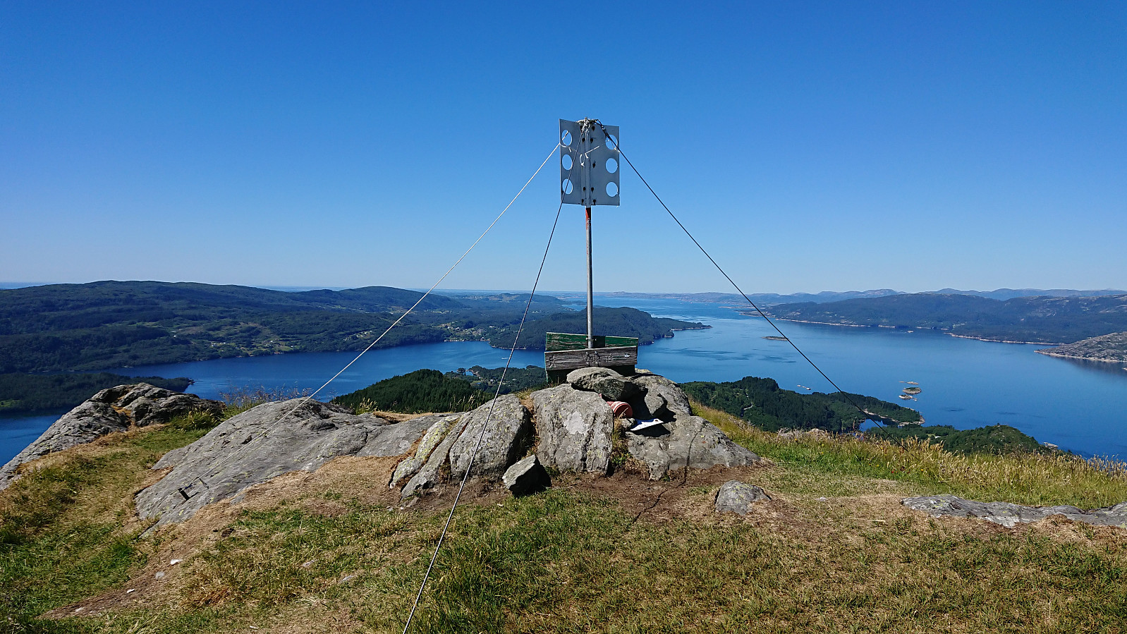
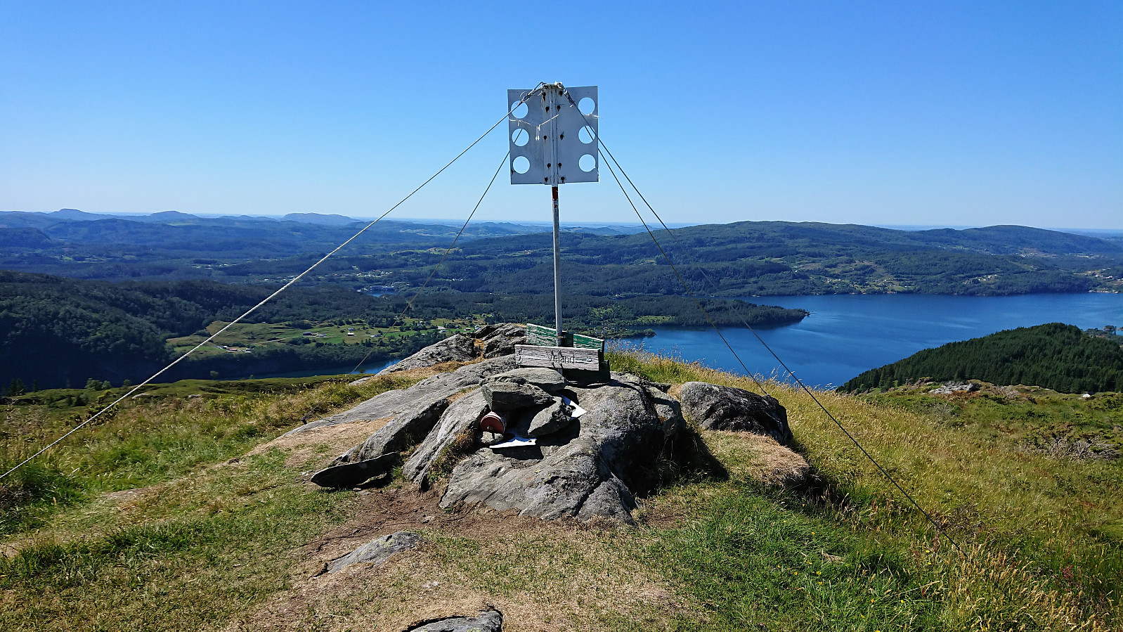
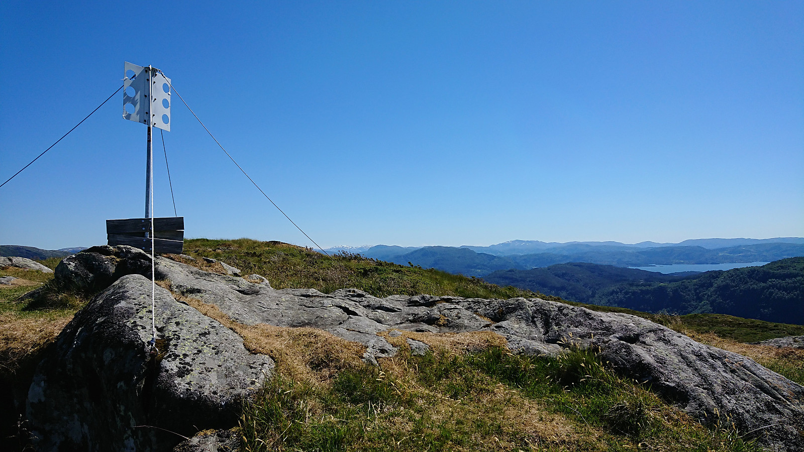
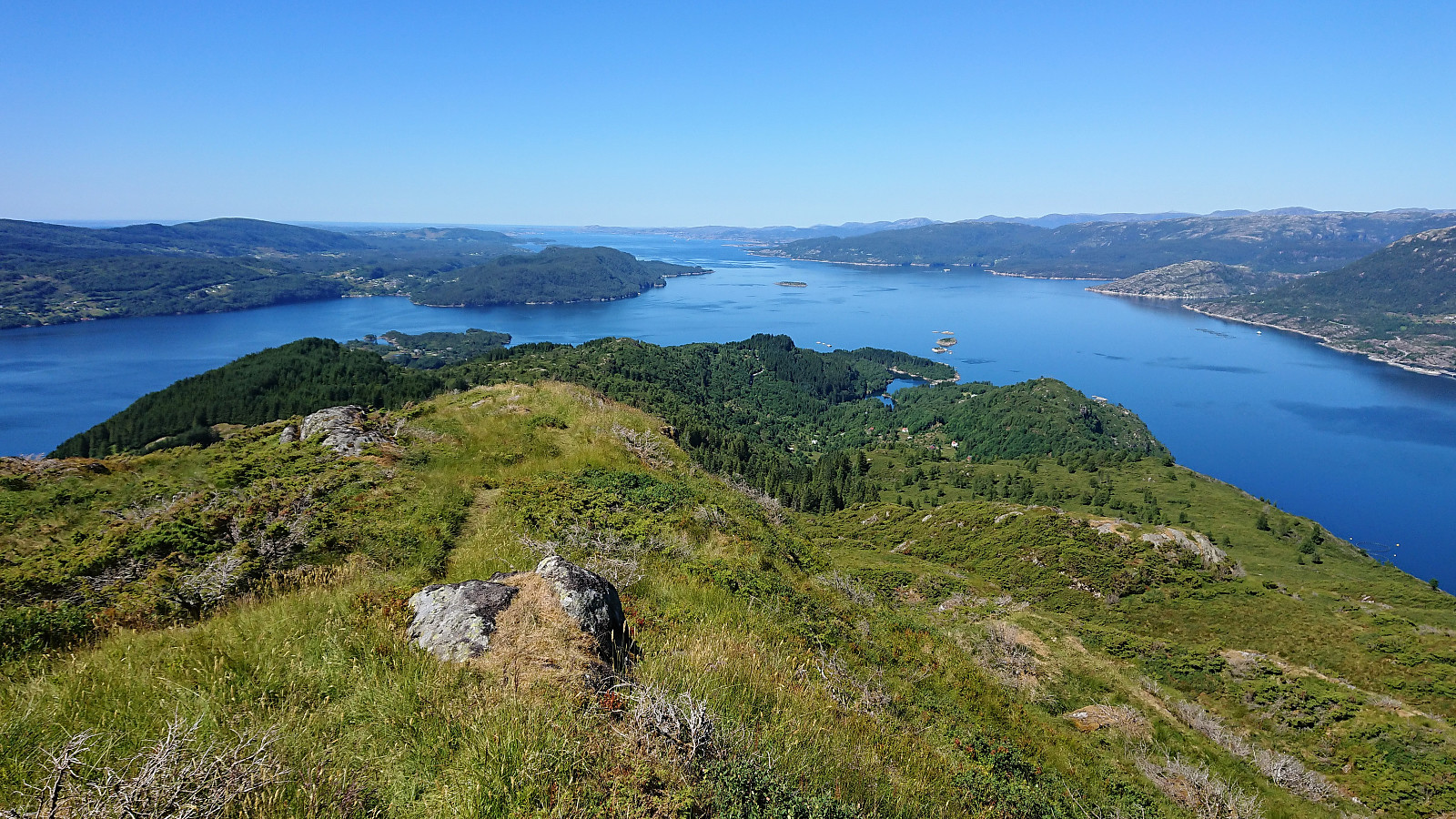
No clear trails towards Vindeggene that we could find, but there were traces of an old trail which we more or less followed all the way to the summit. The summit had to be approached with some caution, as there was a big vertical drop to the east, but the drop can easily be avoided. Excellent 360 degrees view from the trig marker.
Djupedalseggene
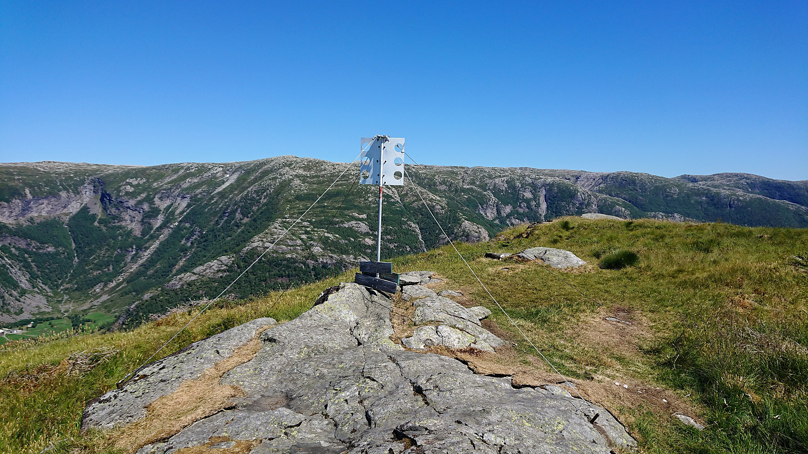
After a short break we continued northwest towards Djupedalseggene, reconnecting with the trail we left earlier. The trail between Vindeggene and Djupedalseggene was overall of ok quality and could be easily followed, with the exception of when crossing one or two wet areas.
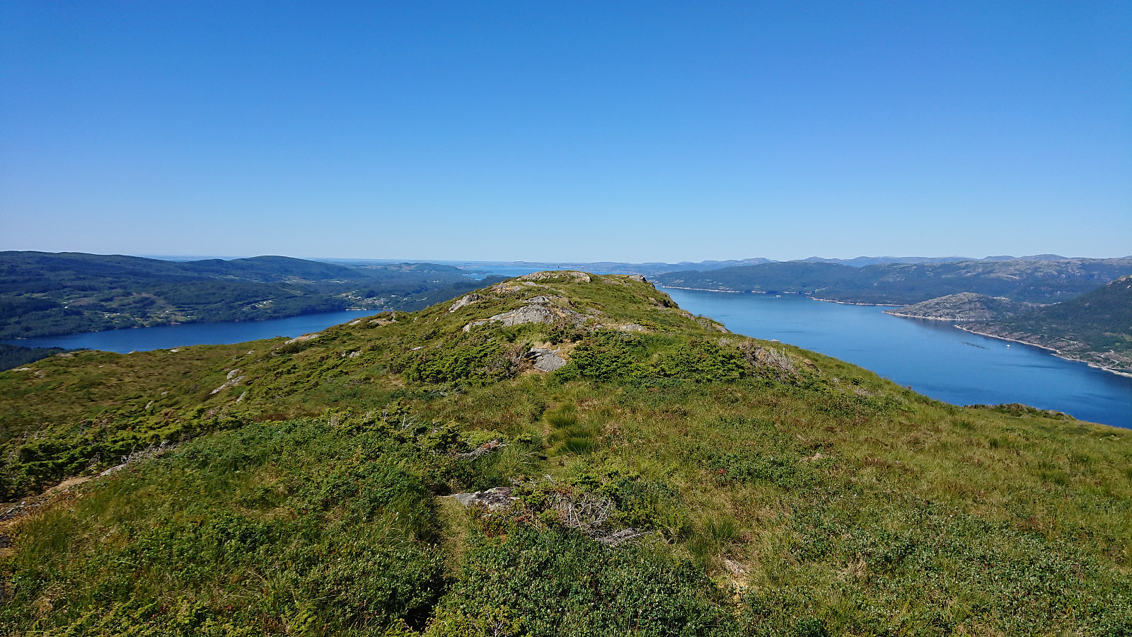
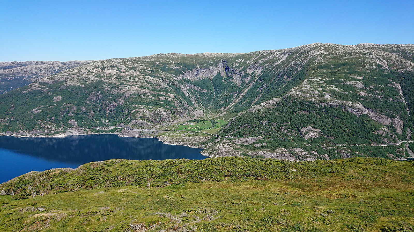
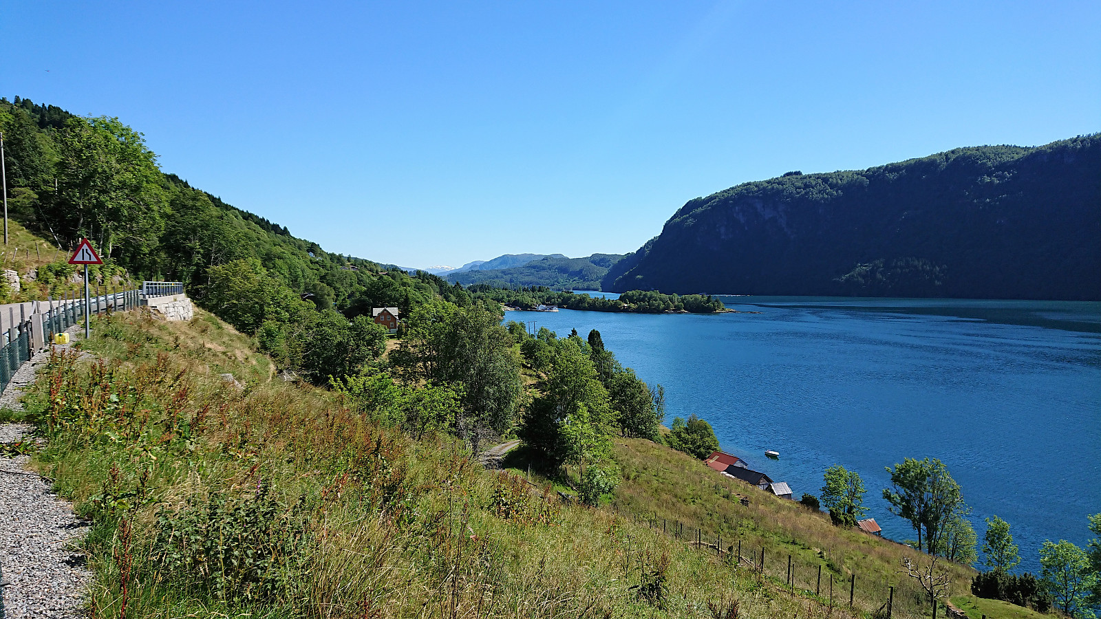
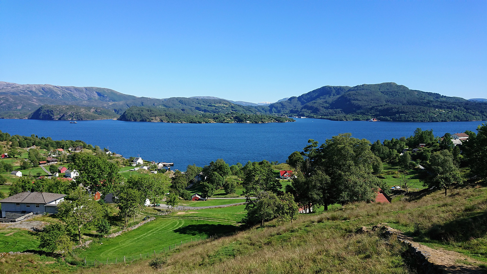
Djupedalseggene provided spectacular views, which we thoroughly enjoyed during a short lunch. For our return, we decided to descend to Veland and from there follow the road back to our car at Ostereidet. This provided a very nice descent, but the walk along Hindesfjorden was perhaps a bit longer than we had hoped.
Overall, an excellent hike that can be very highly recommended. Probably recommended to rather return via Storset though.


| Starttidspunkt | 01.07.2018 10:51 (UTC+01:00 ST) |
| Sluttidspunkt | 01.07.2018 17:07 (UTC+01:00 ST) |
| Totaltid | 6t 16min |
| Bevegelsestid | 5t 34min |
| Pausetid | 0t 42min |
| Snittfart totalt | 3,4km/t |
| Snittfart bevegelsestid | 3,8km/t |
| Distanse | 21,3km |
| Høydemeter | 971m |


Kommentarer