
Skjelanger to Fløksand (16.06.2018)

Written by hbar (Harald Barsnes)

| Start point | Skjelanger (28m) |
|---|---|
| Endpoint | Fløksand (35m) |
| Characteristic | Hillwalk |
| Duration | 4h 57min |
| Distance | 18.0km |
| Vertical meters | 844m |
| GPS |
|
| Ascents | Eldsfjellet (324m) | 16.06.2018 |
|---|---|---|
| Eldsfjellveten (294m) | 16.06.2018 | |
| Storafjellet (90m) | 16.06.2018 | |
| Visits of other PBEs | Storafjellet parkering (28m) | 16.06.2018 |
Skjelanger to Fløksand
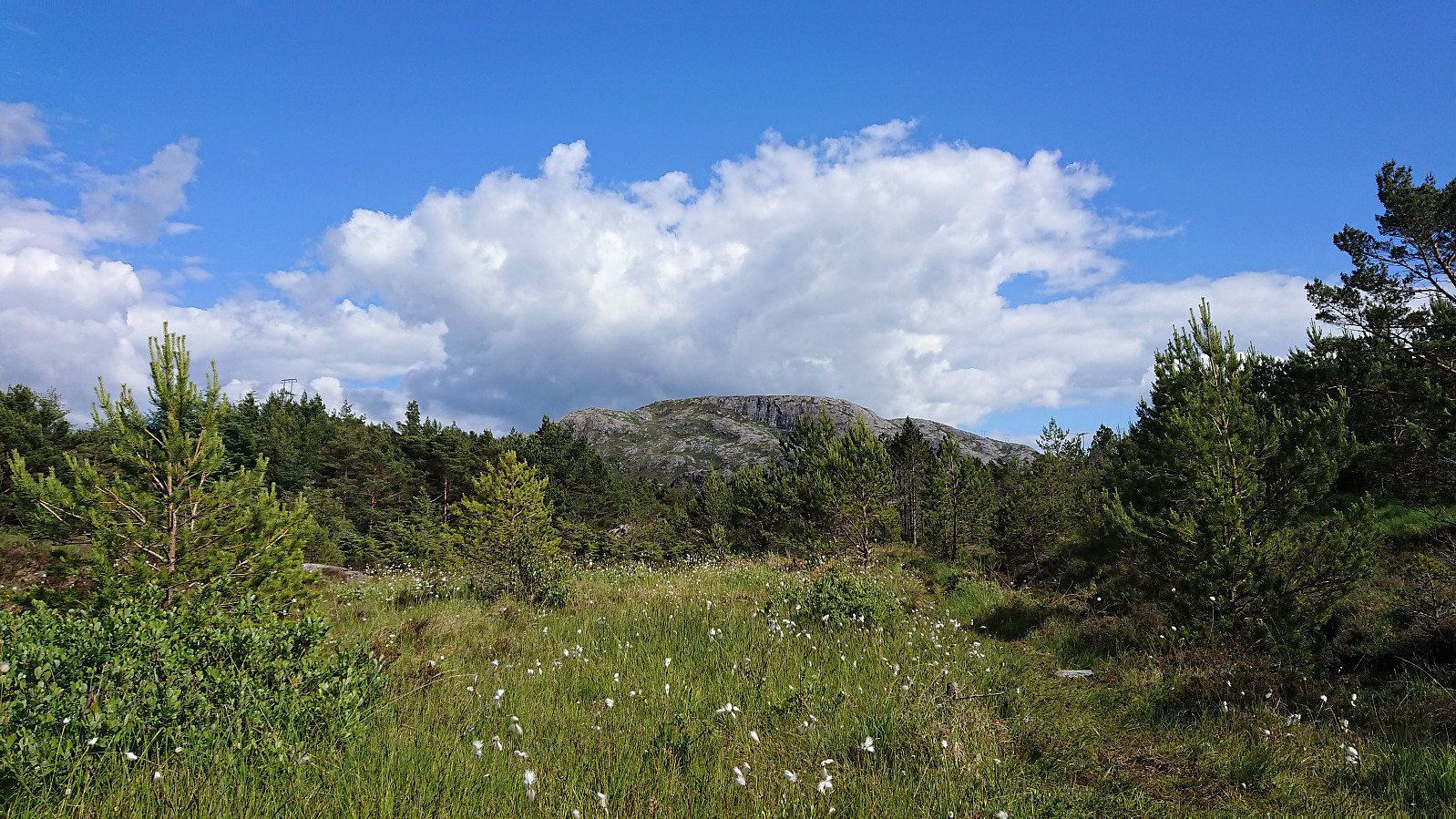
I was lucky enough to hitch a ride to Skjelanger (which is not very accessible by bus) and was dropped off at one of the three main starting points for hiking to Storafjellet. Like the other two, this starting point also had the information sign and a marked trailhead, and included a small parking lot with room for a couple of cars.
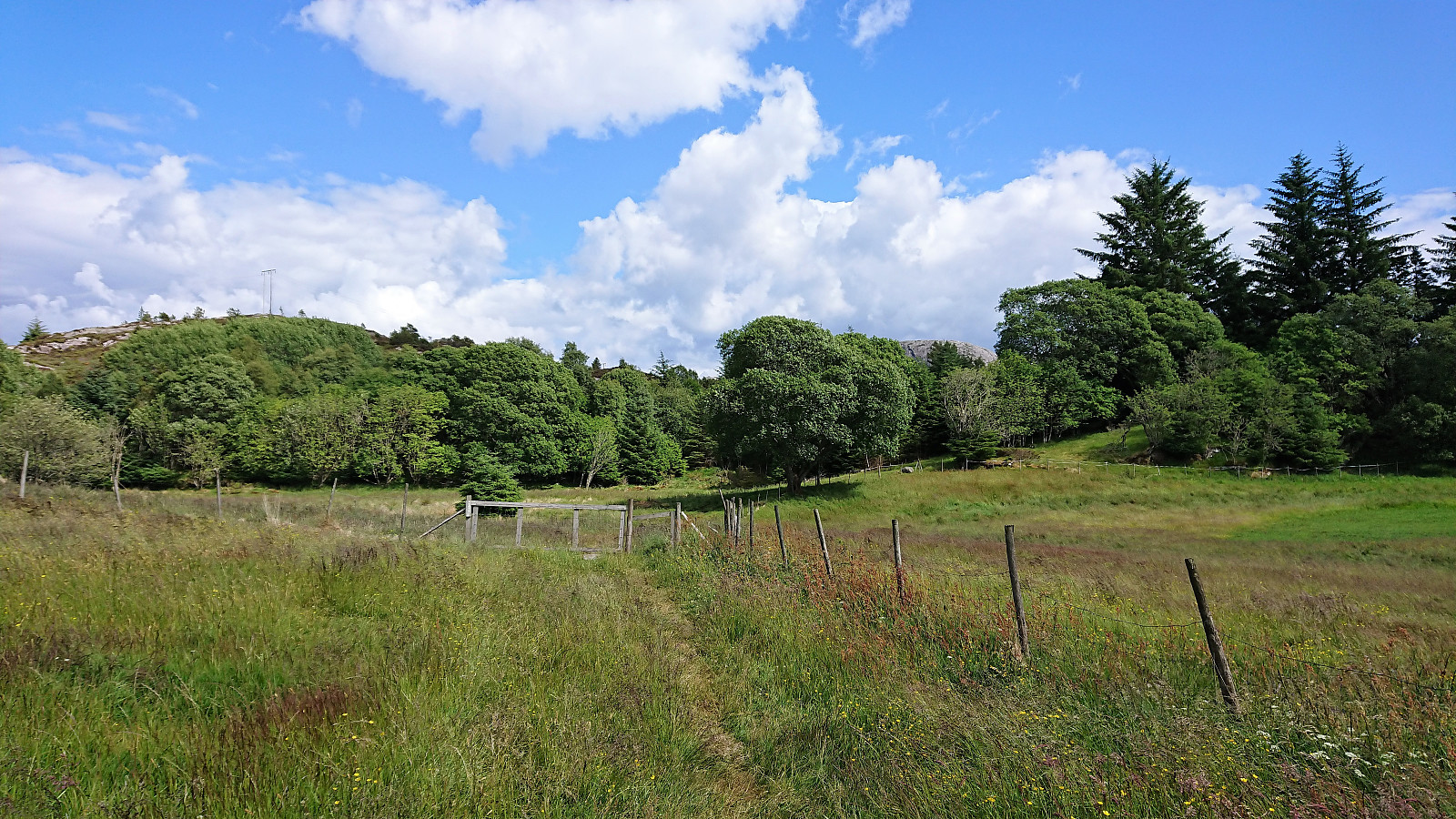
However, while the trailhead was marked, the start of the trail was not very clear as it crossed a field. This soon improved, but shortly afterwards I made a wrong turn by continuing through a gate instead of turning left. I quickly corrected the mistake, but the signs could be better here.
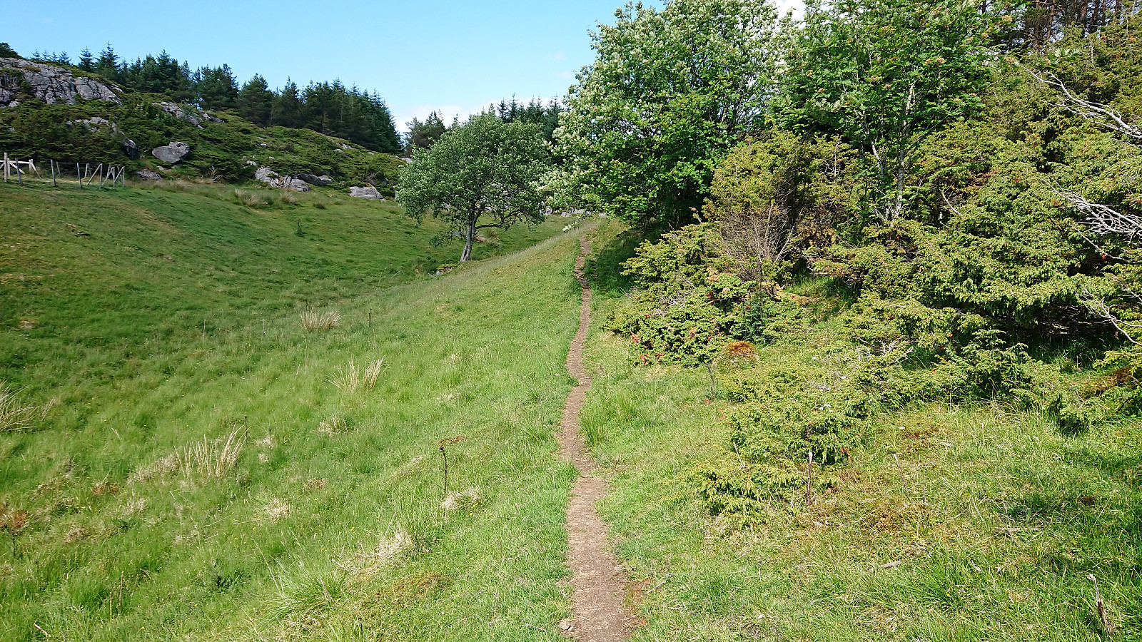
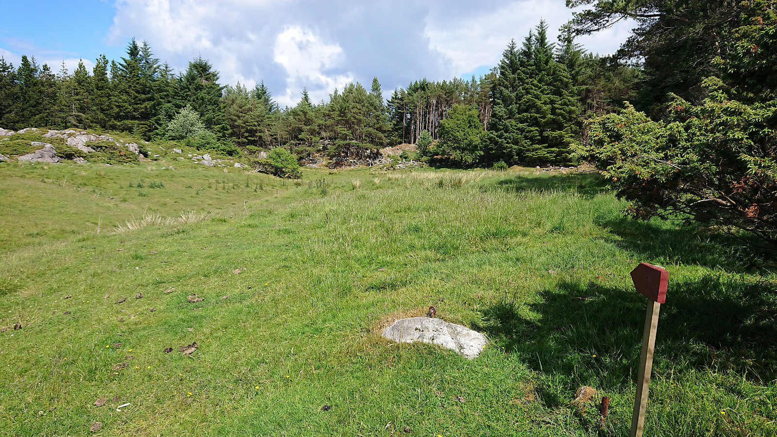
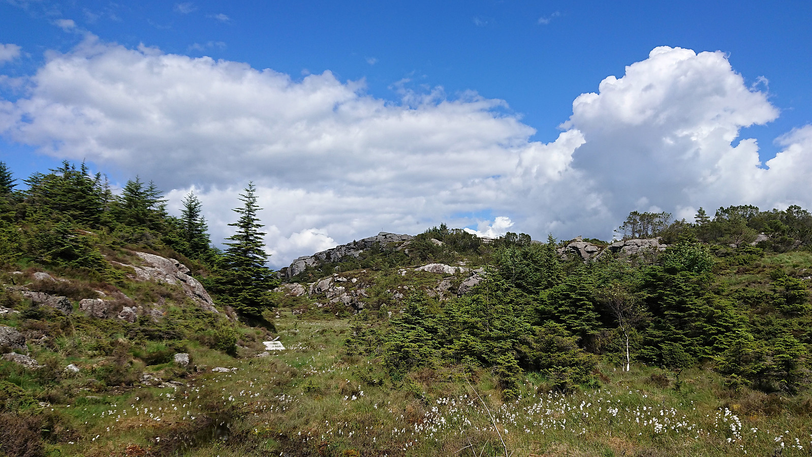
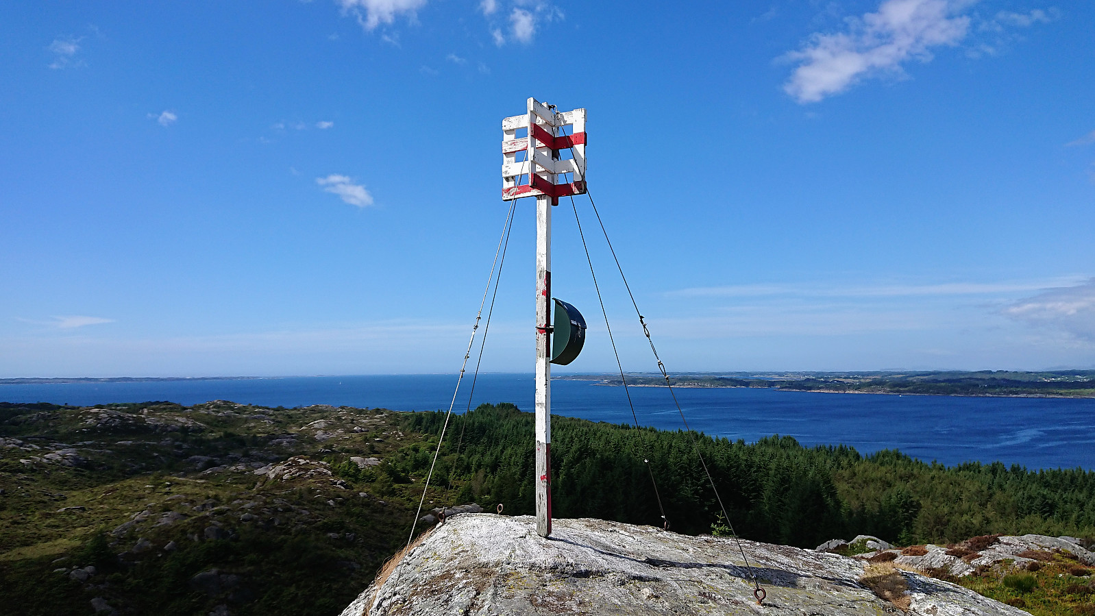
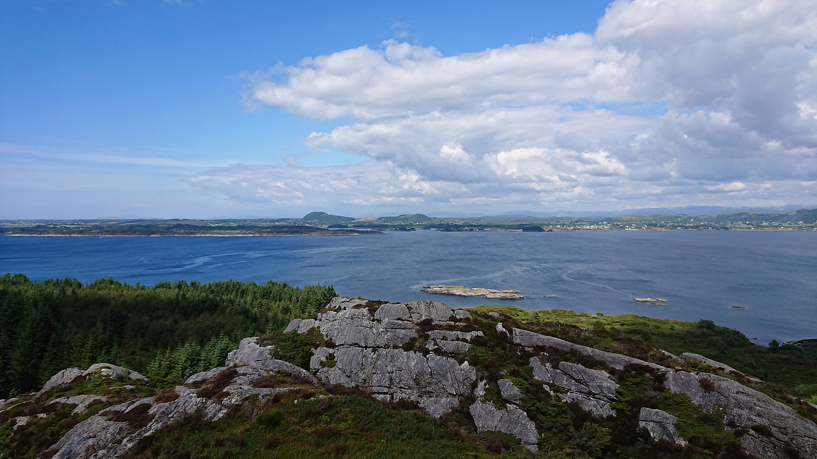
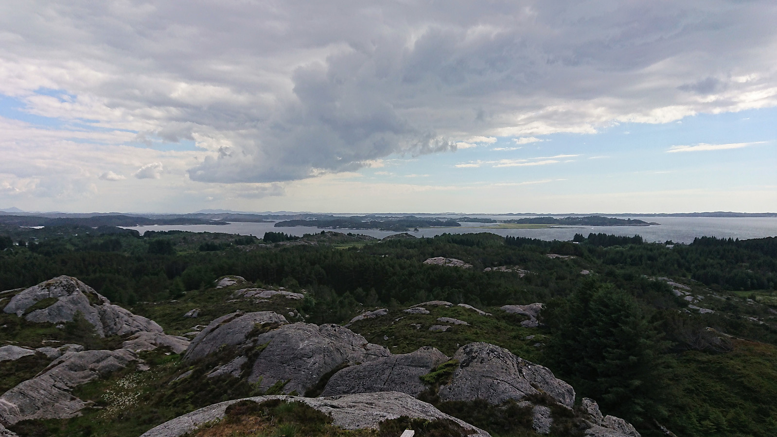
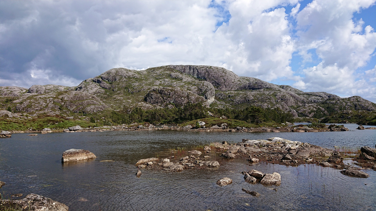
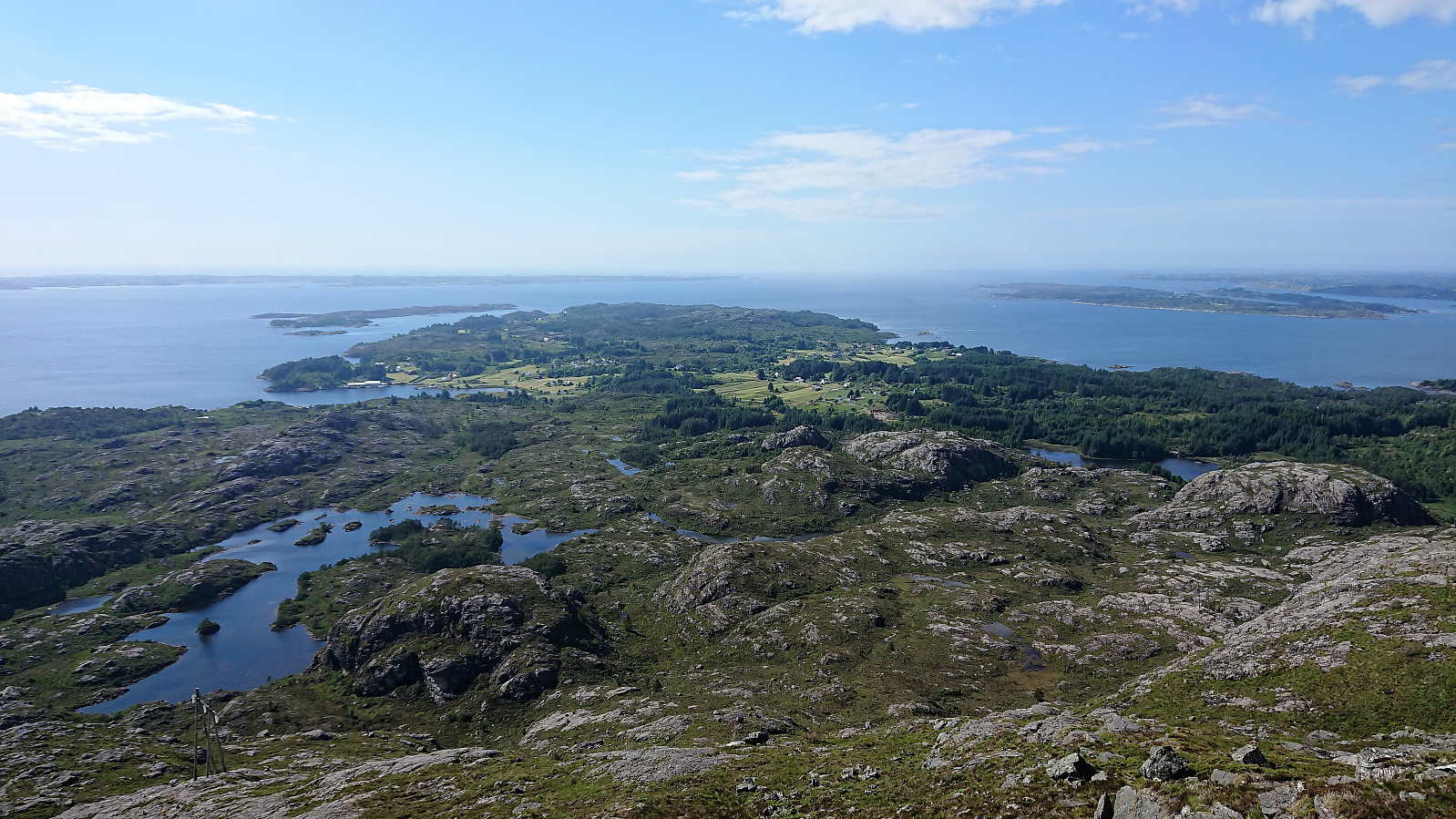
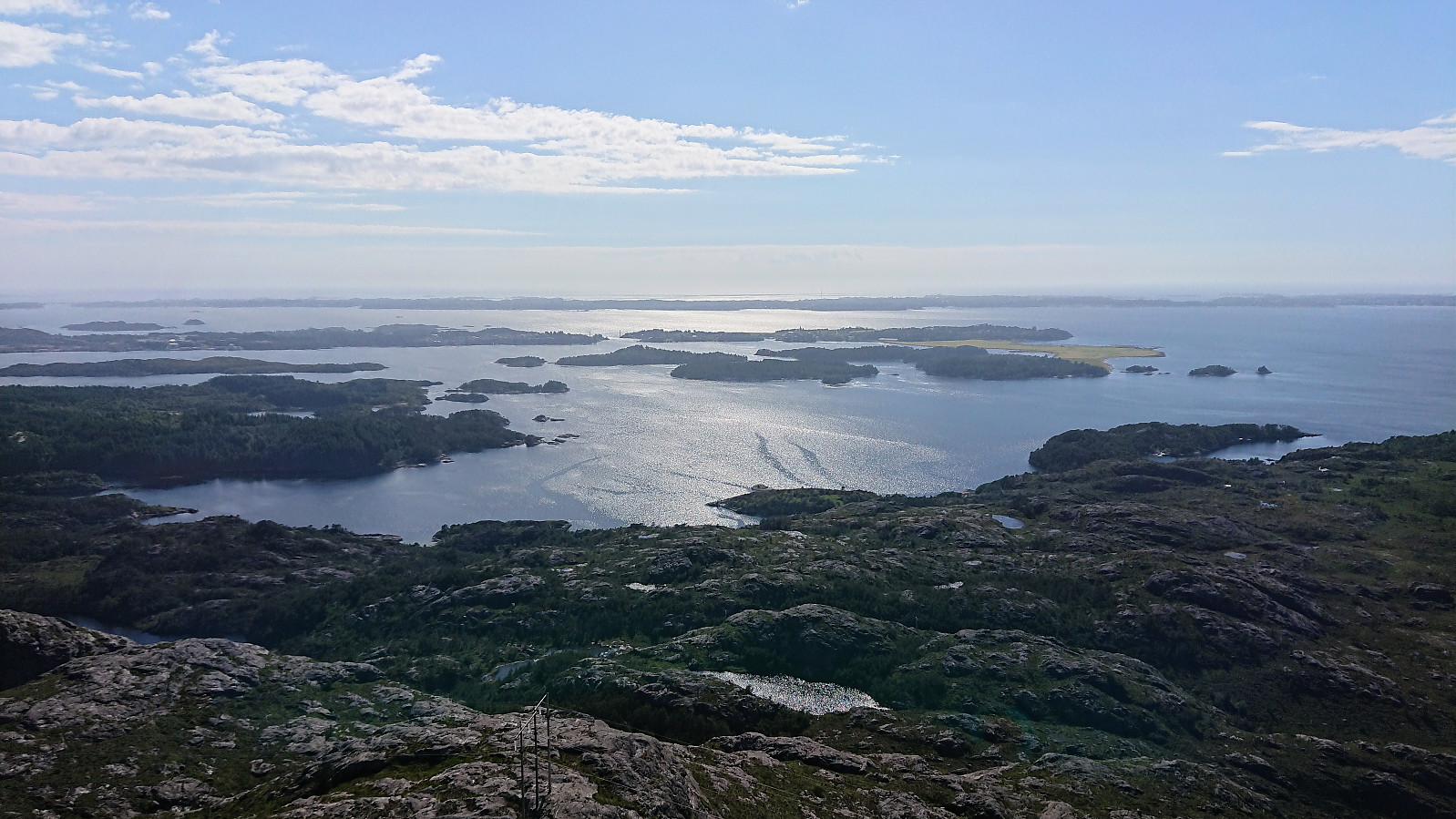
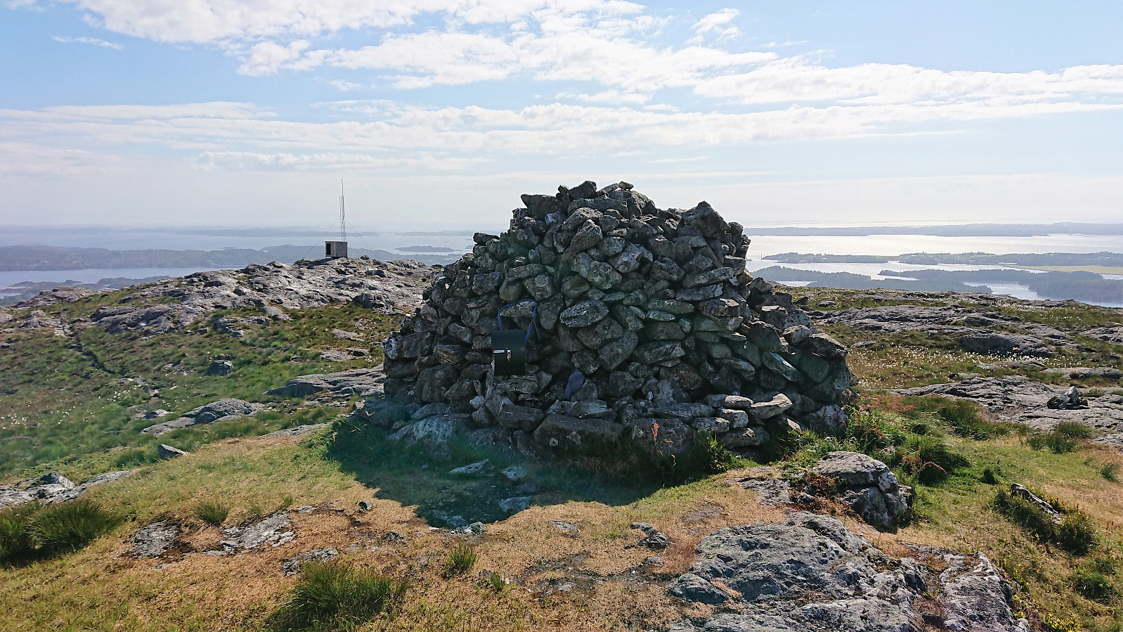
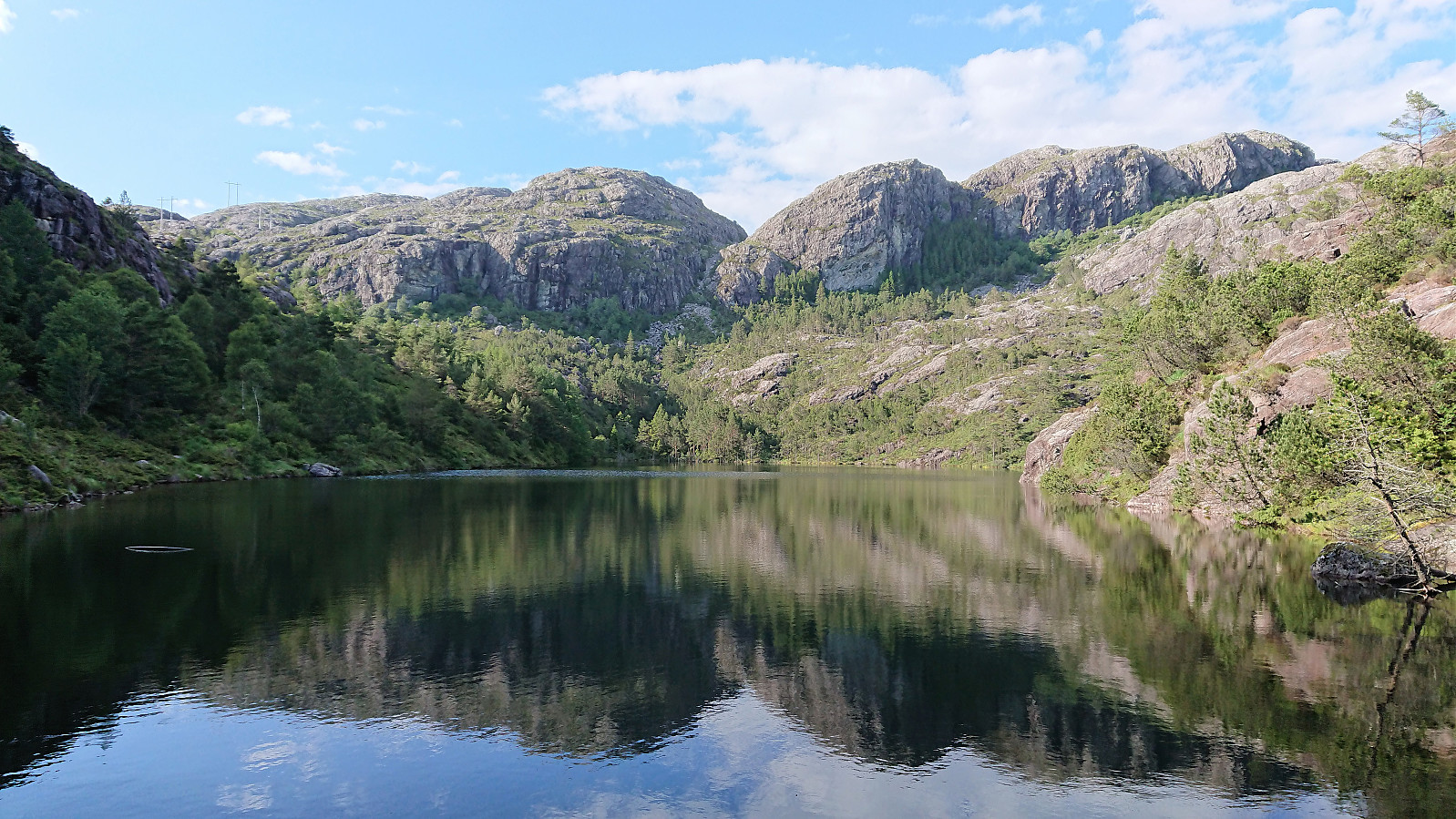
From there on the trail was easy to follow, although rather wet at times, until reaching the summit of Storafjellet, which provided excellent views in all directions. Probably one of the best views one can obtain from such a small peak. A bit windy at the top, so I did not stay too long before continuing along the trail to Husebø.
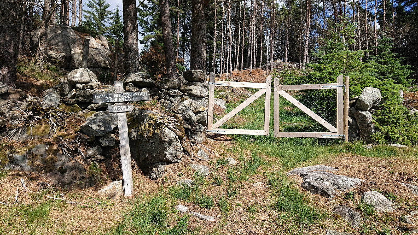
My plan was to ascend Eldsfjellet from the west, passing via Eldsfjellveten on the way. After crossing the main road I started towards Sætrevika and at the first crossroads turned left down a gravel road. As the gravel road ended at a barn, I followed an unmarked trail/tractor road through a gate on the left (east) side of the barn. Just as this trail started to be covered by gravel, I took another unmarked weak trail southeast towards Husebøvatnet.
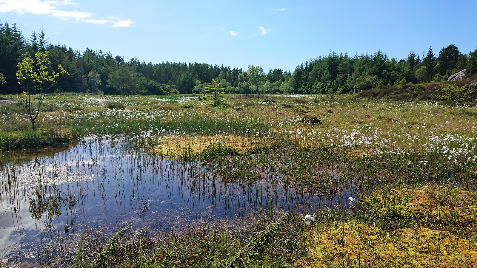
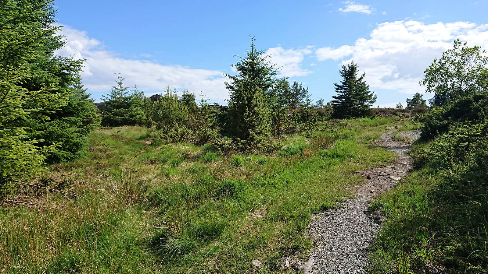
While this trail was clearly not the most heavily used, it could still be easily followed. Just before getting to Husebøvatnet I did however leave the trail due to what I thought was a small cairn and a very weak trail crossing the small stream. (Partly because the trail indicated on the map seemed to stop at Husebøvatnet.) This new trail however quickly disappeared, but luckily I reconnected with a proper trail (most likely the one I had just left) right before reaching the lake.
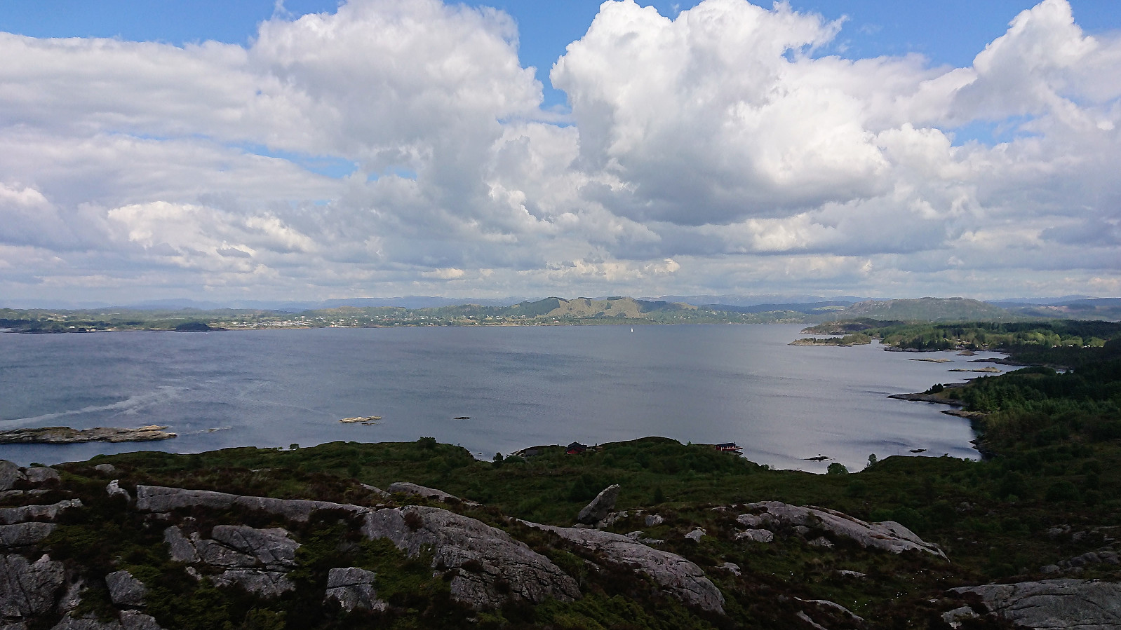
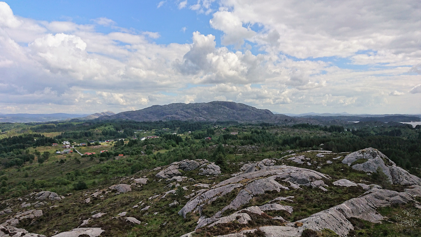
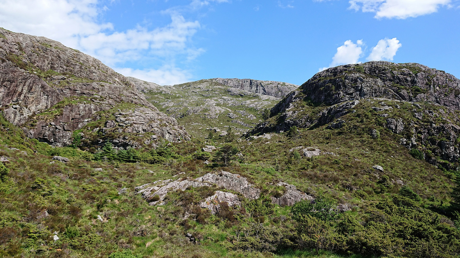
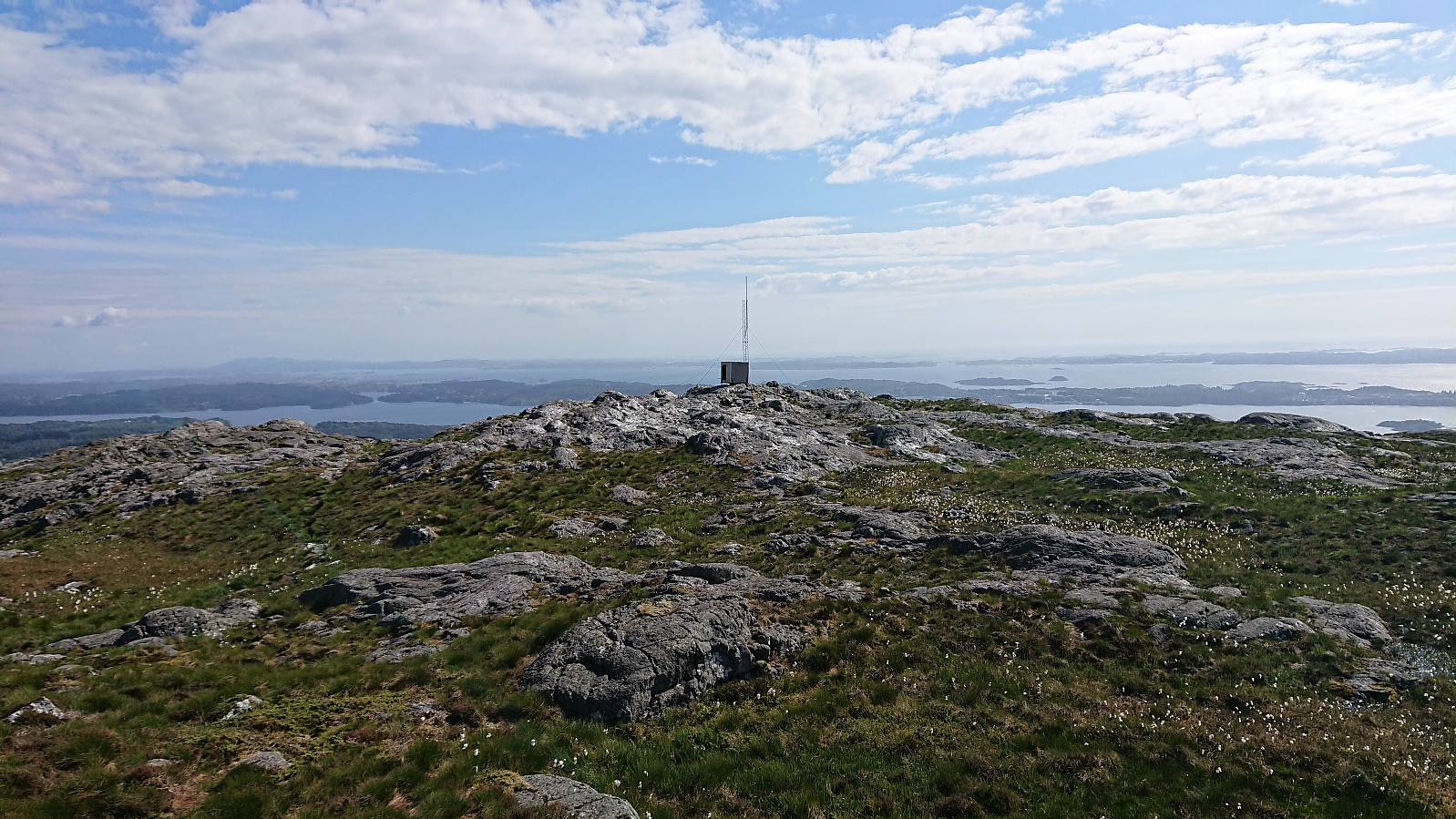
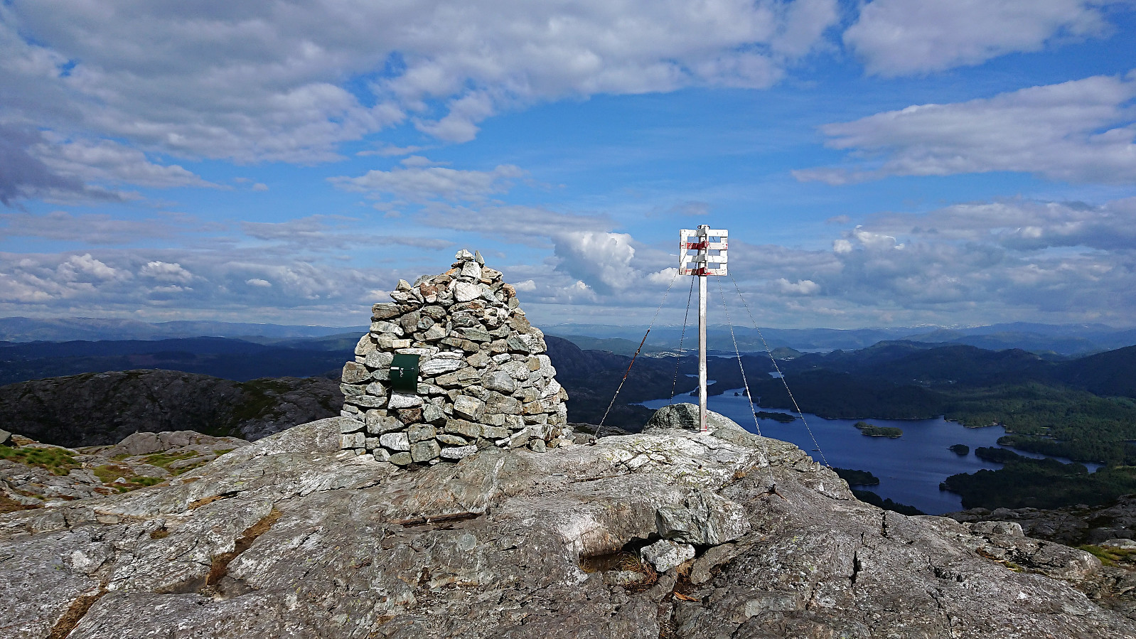
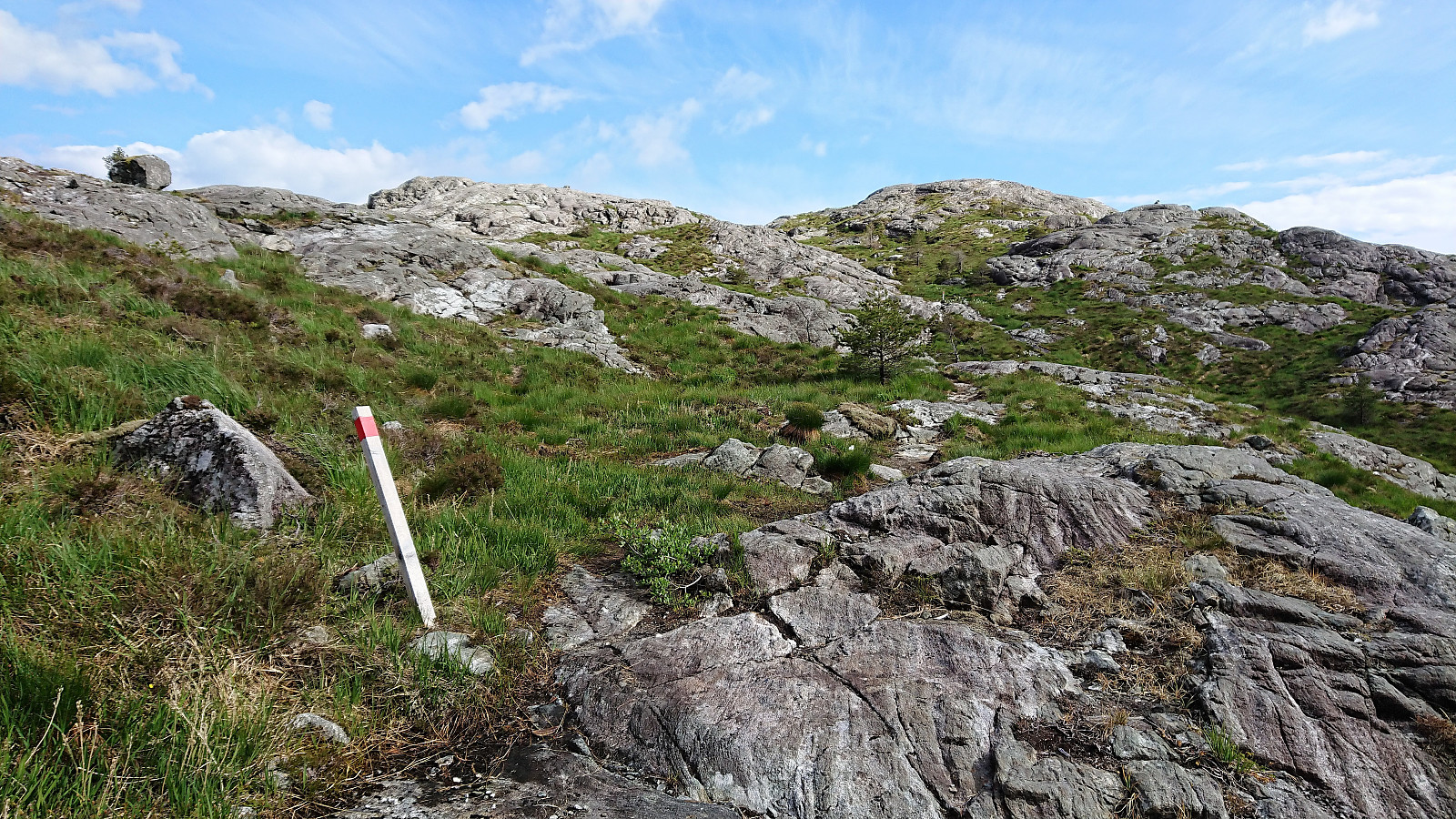
From this point onwards, the trail was marked with lots of small cairns and also sometimes with red plastic sticks, making it straightforward to ascend to Eldsfjellveten. As I got close to summit I decided to leave the trail and rather walk along the cliff to maximize the views, before making the mandatory visit to the summit. Next, I made a quick detour to a small hill to the south (it did not provide much new in terms of views though), before continuing east to the highest point at Eldsfjellet.
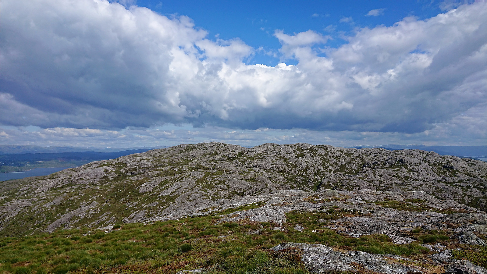
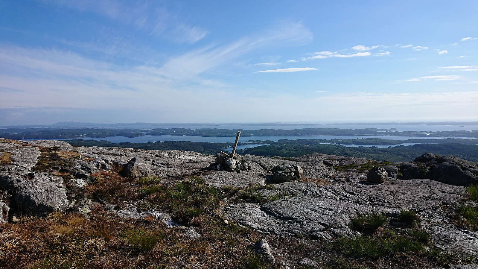
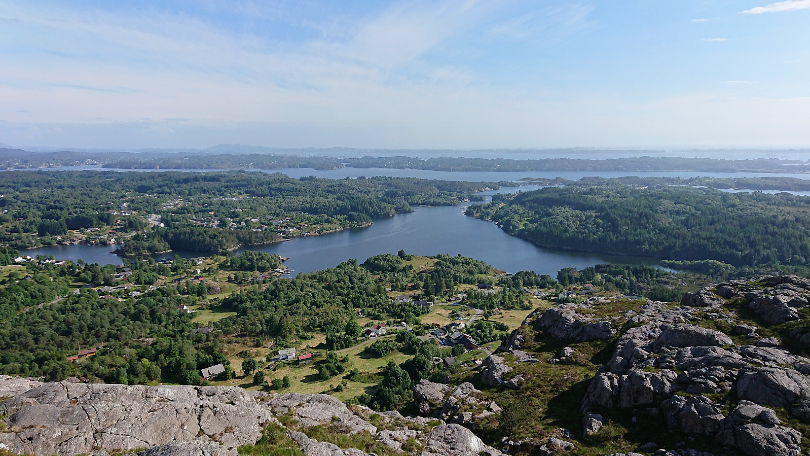
My original plan had been to return west and follow the trail down to Storatjørna and Skurtveit, but shortly after starting my descent from Eldsfjellet I noticed a marked trail heading south/southwest. Unlike the planned trail, this trail was only partially indicated on the map. The apparent good quality and the fact that is was marked, convinced me to give it a chance. This turned out to be a very good choice, as it was a very nice and easy to follow trail, with excellent views along the way. Clearly a superior option.
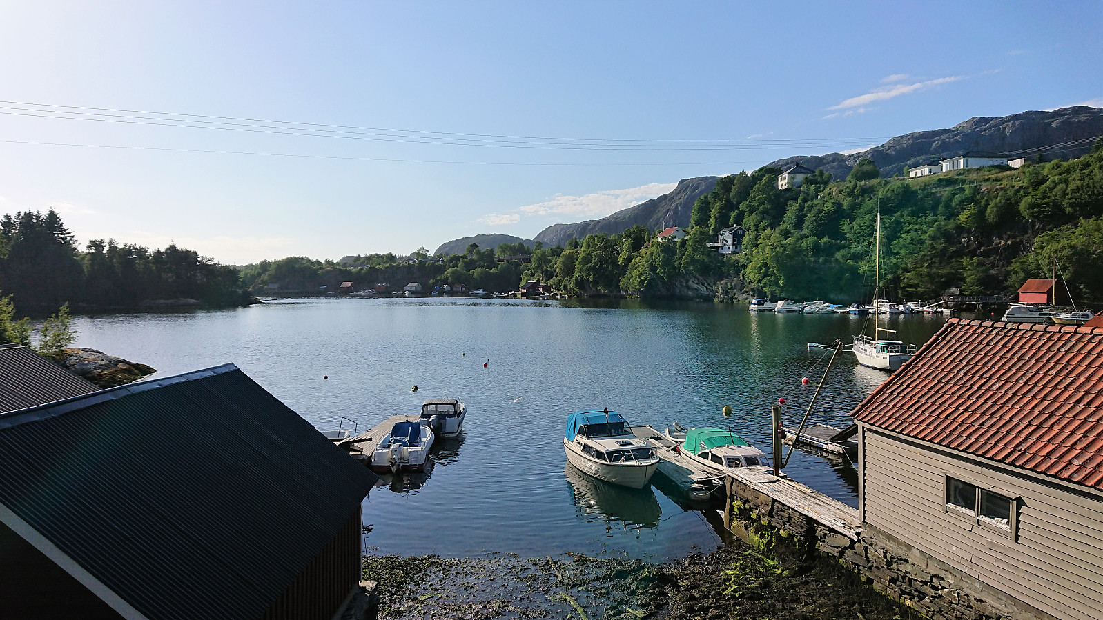
Upon arriving at Storatjørna, I briefly considered a quick visit to Storhøyen, but even though there was a sign for Storhøyen, my short search did not locate any proper trail. I therefore gave it up and instead followed the gravel, and later paved, roads southeast to the main road at Rossland. Due to the infrequent buses I now had an hour to kill, which I solved by continuing southeast along the main road, making it to Fløksand before catching the bus back to Bergen. Not the most interesting part of the hike of course, but with limited traffic and nice views along the way it was not too bad either.
In conclusion, an excellent hike that can, perhaps with the exception of the final walk along the main road, be very highly recommended. Both the ascent of Eldsfjellveten from the west and the descent from Eldsfjellet to Skurtveit were very enjoyable both in terms of the quality of the trails and the views provided.
| Start date | 16.06.2018 15:06 (UTC+01:00 DST) |
| End date | 16.06.2018 20:04 (UTC+01:00 DST) |
| Total Time | 4h 57min |
| Moving Time | 4h 43min |
| Stopped Time | 0h 14min |
| Overall Average | 3.6km/h |
| Moving Average | 3.8km/h |
| Distance | 18.0km |
| Vertical meters | 843m |


User comments