
Åsheimveten, Tveitafjellet and Rotten (09.06.2018)

Written by hbar (Harald Barsnes)

| Start point | Fotlandsvåg (9m) |
|---|---|
| Endpoint | Lonevåg (2m) |
| Characteristic | Hillwalk |
| Duration | 5h 01min |
| Distance | 19.5km |
| Vertical meters | 1,077m |
| GPS |
|
| Ascents | Rotten (438m) | 09.06.2018 |
|---|---|---|
| Tveitafjellet (555m) | 09.06.2018 | |
| Åsheimveten (477m) | 09.06.2018 | |
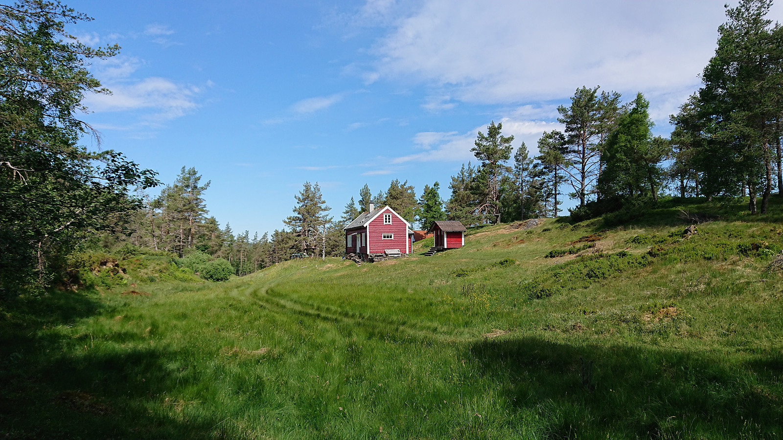
| Visits of other PBEs | Fotlandssætra (204m) | 09.06.2018 |
Åsheimveten, Tveitafjellet and Rotten


Åsheimveten
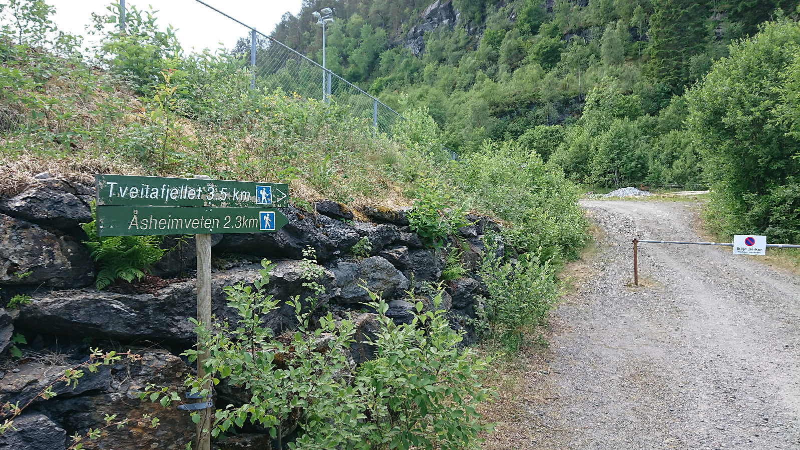
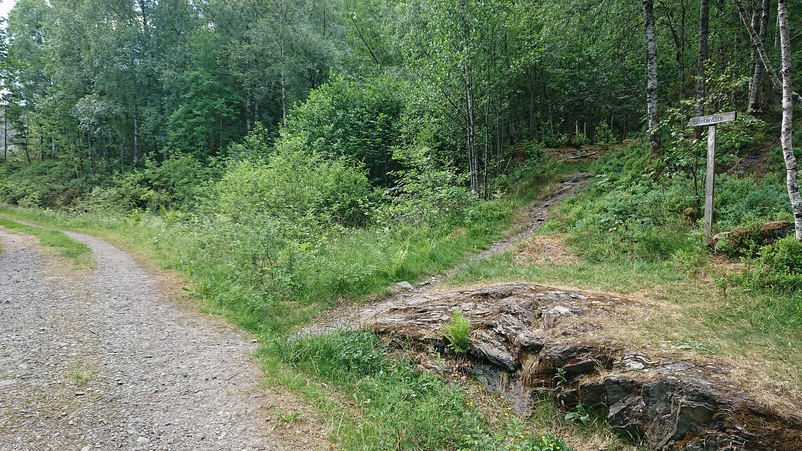
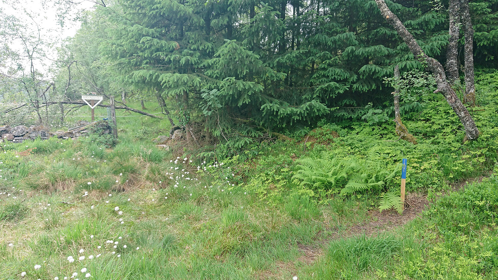
Started by taking the bus (and ferry) to Fotlandsvåg and locating the marked gravel road towards Åsheimveten just south of the football field. An information sign indicated two possible starting options: either follow the gravel road or take the steeper trail. I went for the trail, which reconnected with the gravel road just before reaching Fotlandssætra, where the gravel road also came to an end. The separate start of the trail was clearly marked and the trail was of good quality and easy to follow.
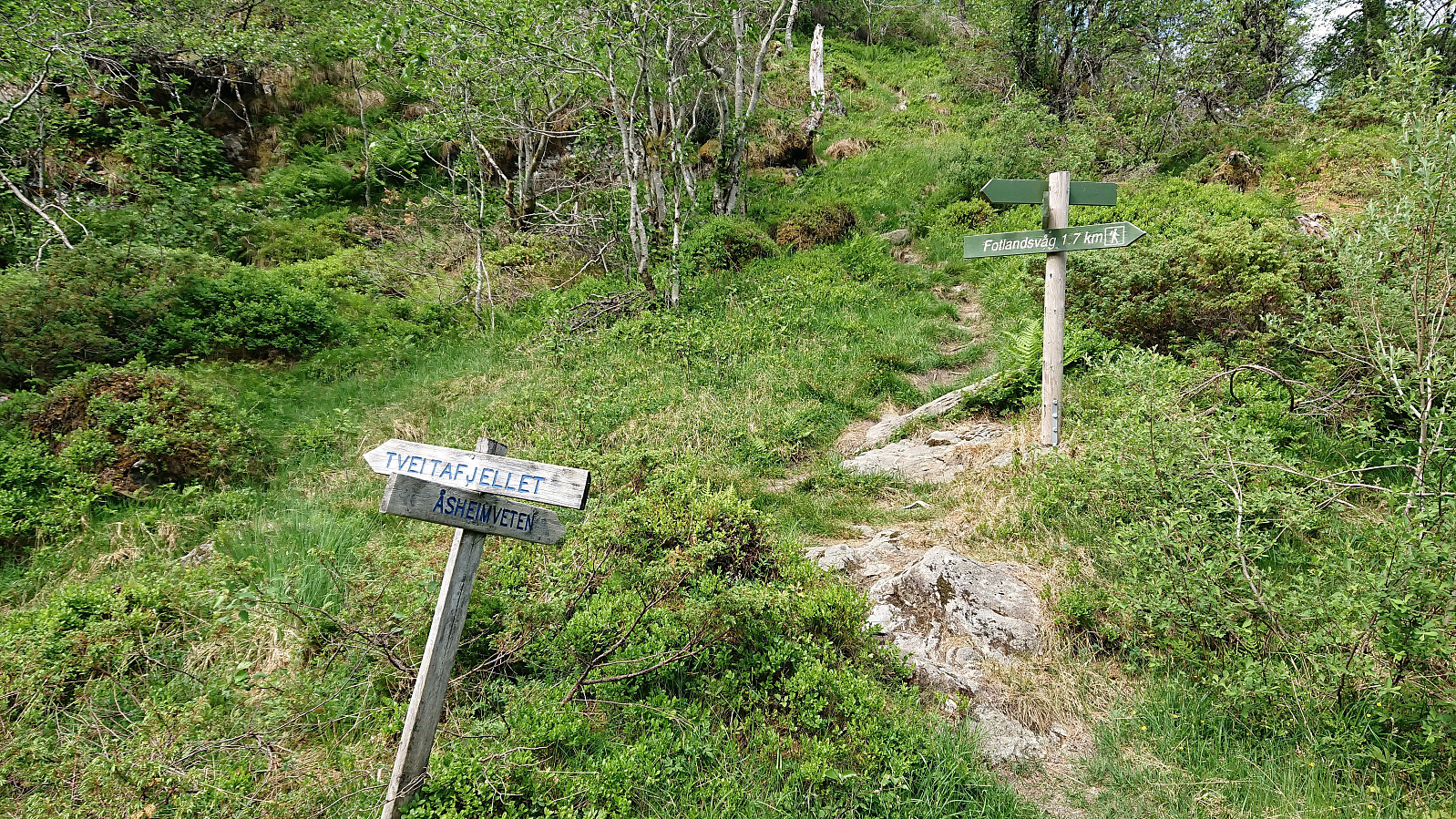
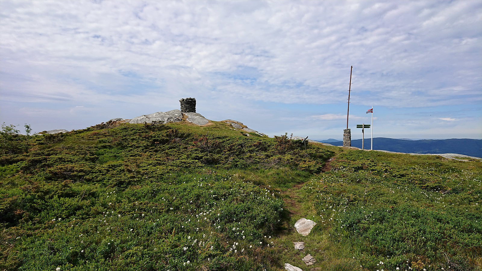
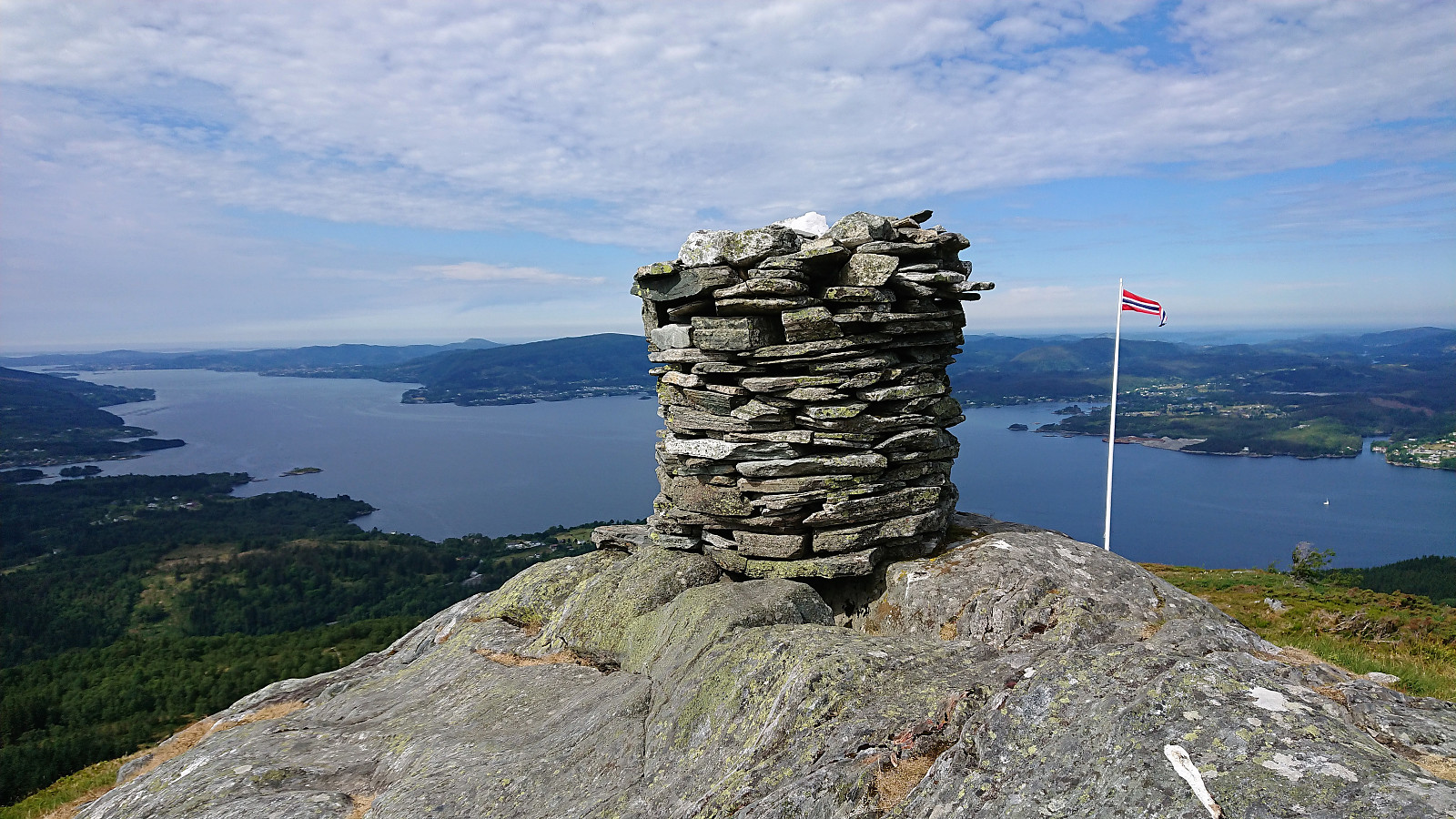
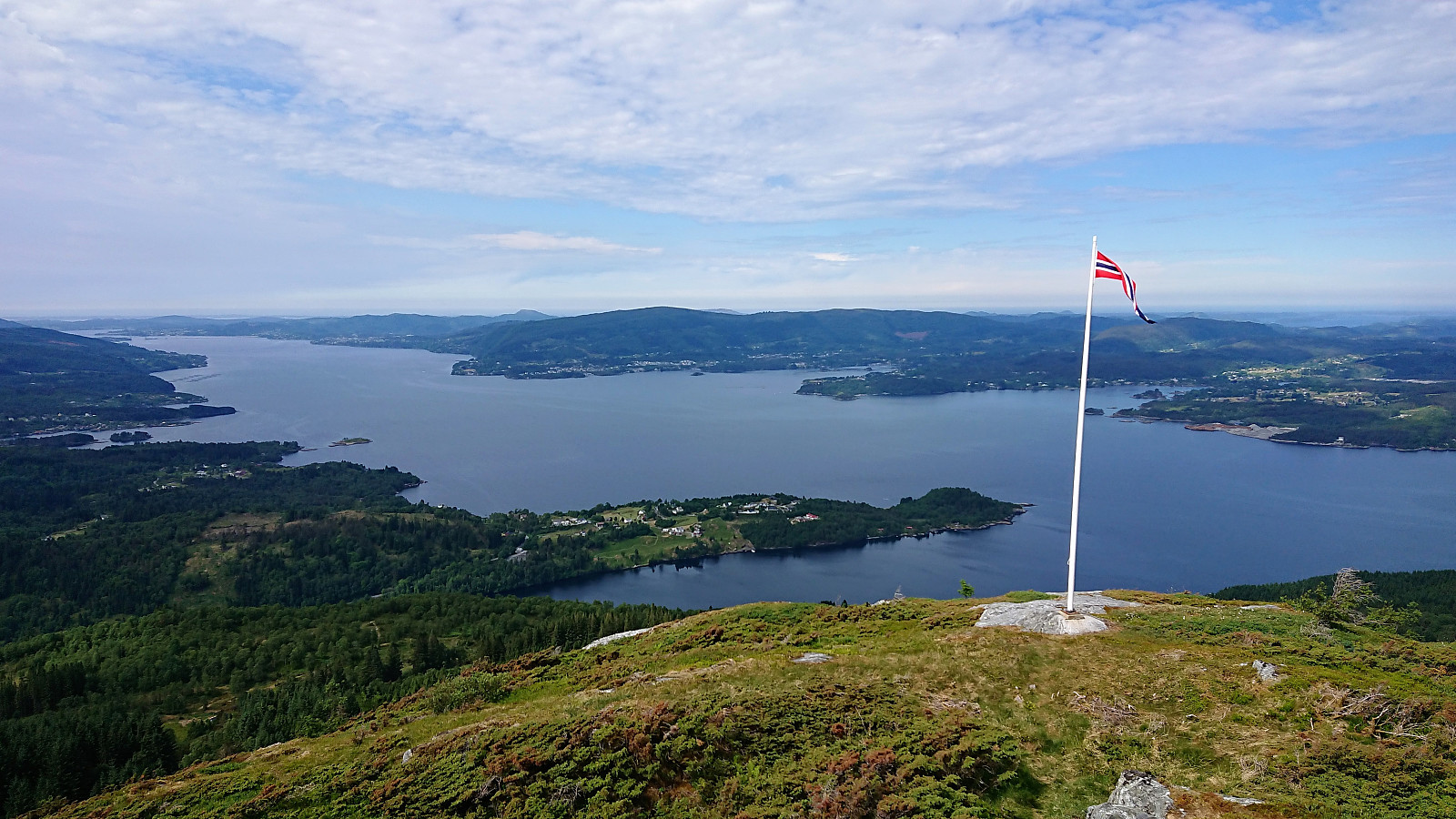
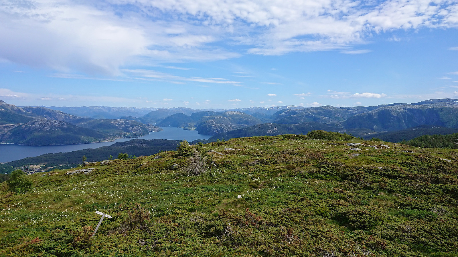
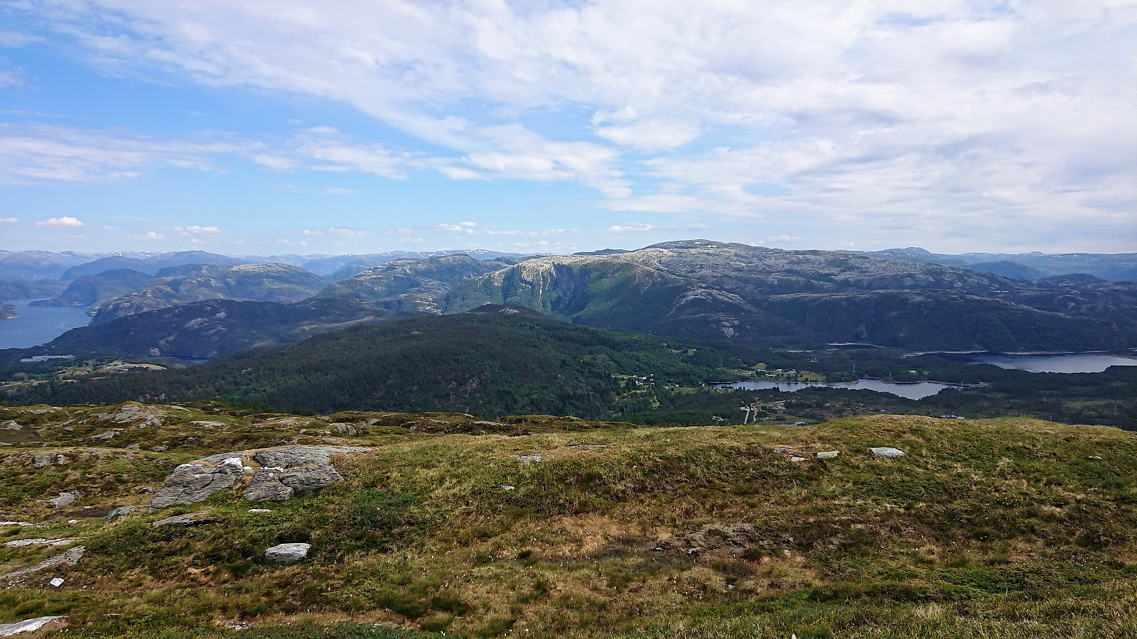
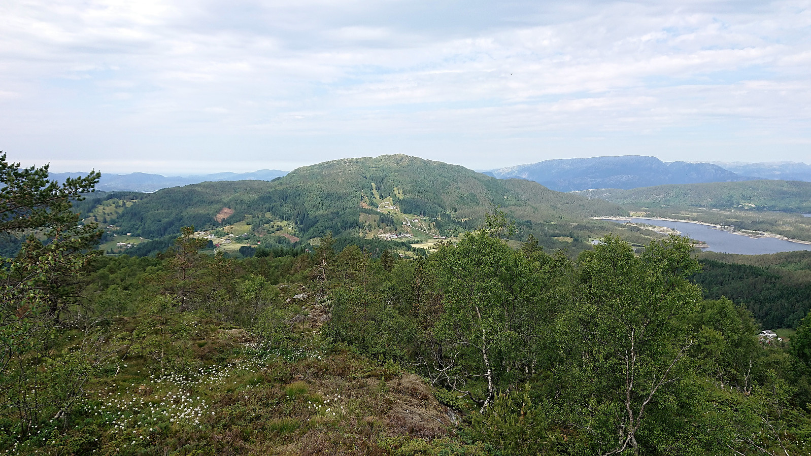
Shortly after leaving Fotlandssætra the trail got significantly steeper, especially the last stretch up to where the trail split for Åsheimveten or Tveitafjellet. But from there on it was easy to reach the summit of Åsheimveten, which provided spectacular views in all directions.
Tveitafjellet
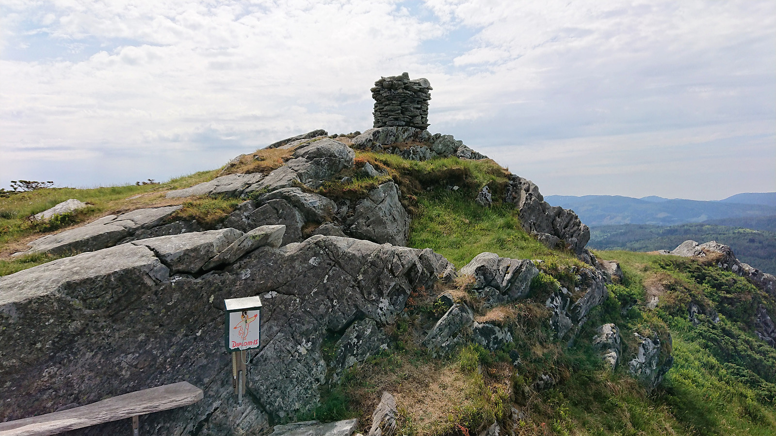
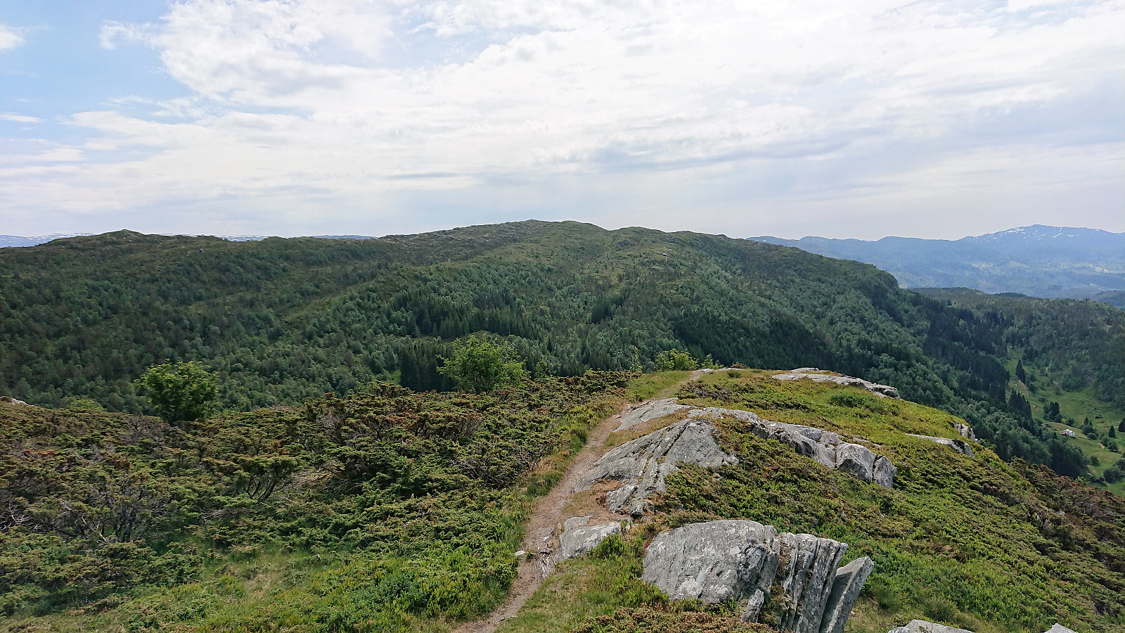
Next, I returned to the crossroads east of Åsheimveten and this time continued southeast towards Tveitafjellet. The trail was again very nice and the 150 meters in height were gained with minimal effort, and once again being rewarded by a spectacular 360 degrees view from the summit. As the trail more or less followed the ridge the views were also very good along the way.
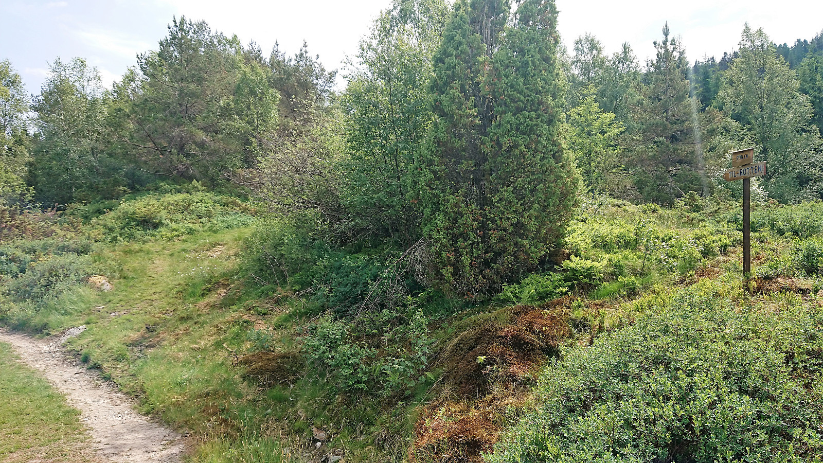
After a quick lunch, I continued southeast along a trail that was the weakest of the day, but it could still be followed without any real difficulties. Reaching the main road at Myking, I decided that I had time for a visit to Rotten as well, a summit that had been in my view ever since reaching the summit of Tveitafjellet.
Rotten
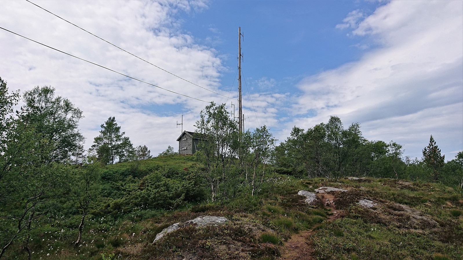
Started southeast along the road to Kallekleiv, where the road turned into a gravel/tractor road as it turned north and then southeast again. Shortly after a sign indicated the trailhead for Rotten appeared on the right side of the road and a couple of meters later a tractor road started off to the right (south).
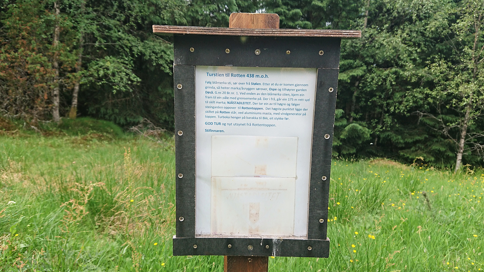
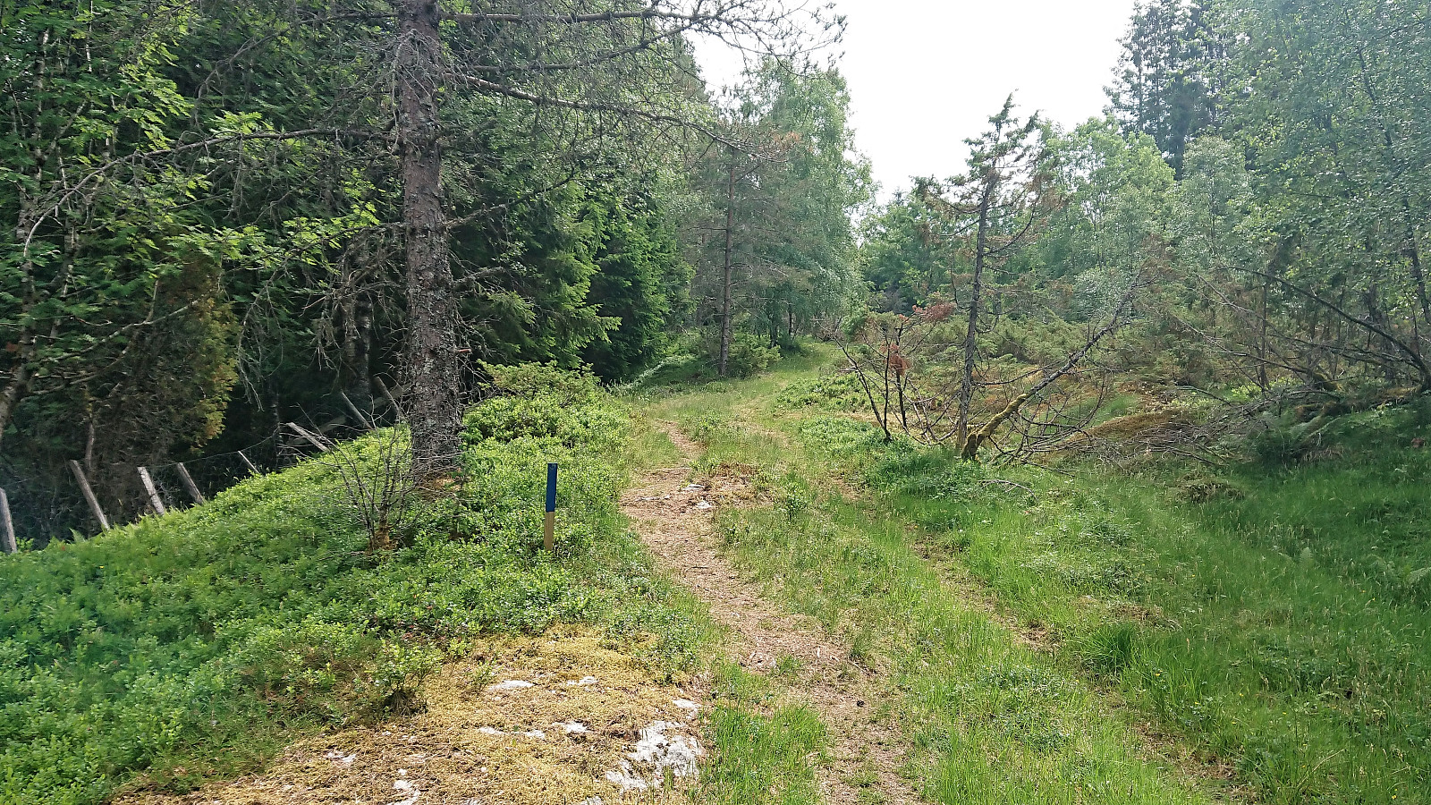
The trail was marked with blue wooden sticks and also soon had an information sign about how to reach the summit of Rotten. The information was not really needed though as the marked trail was easy to follow all the way to the summit.
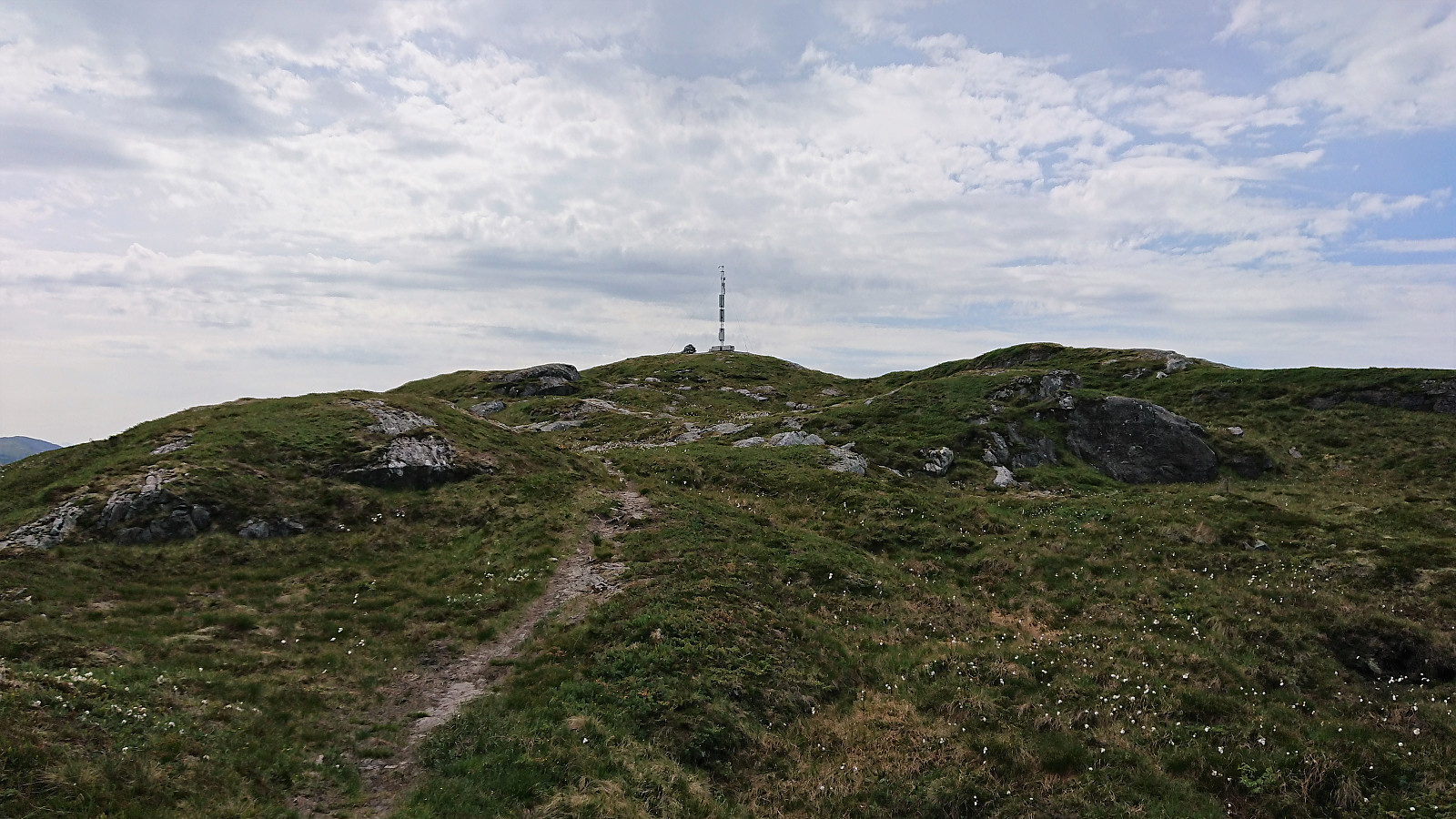
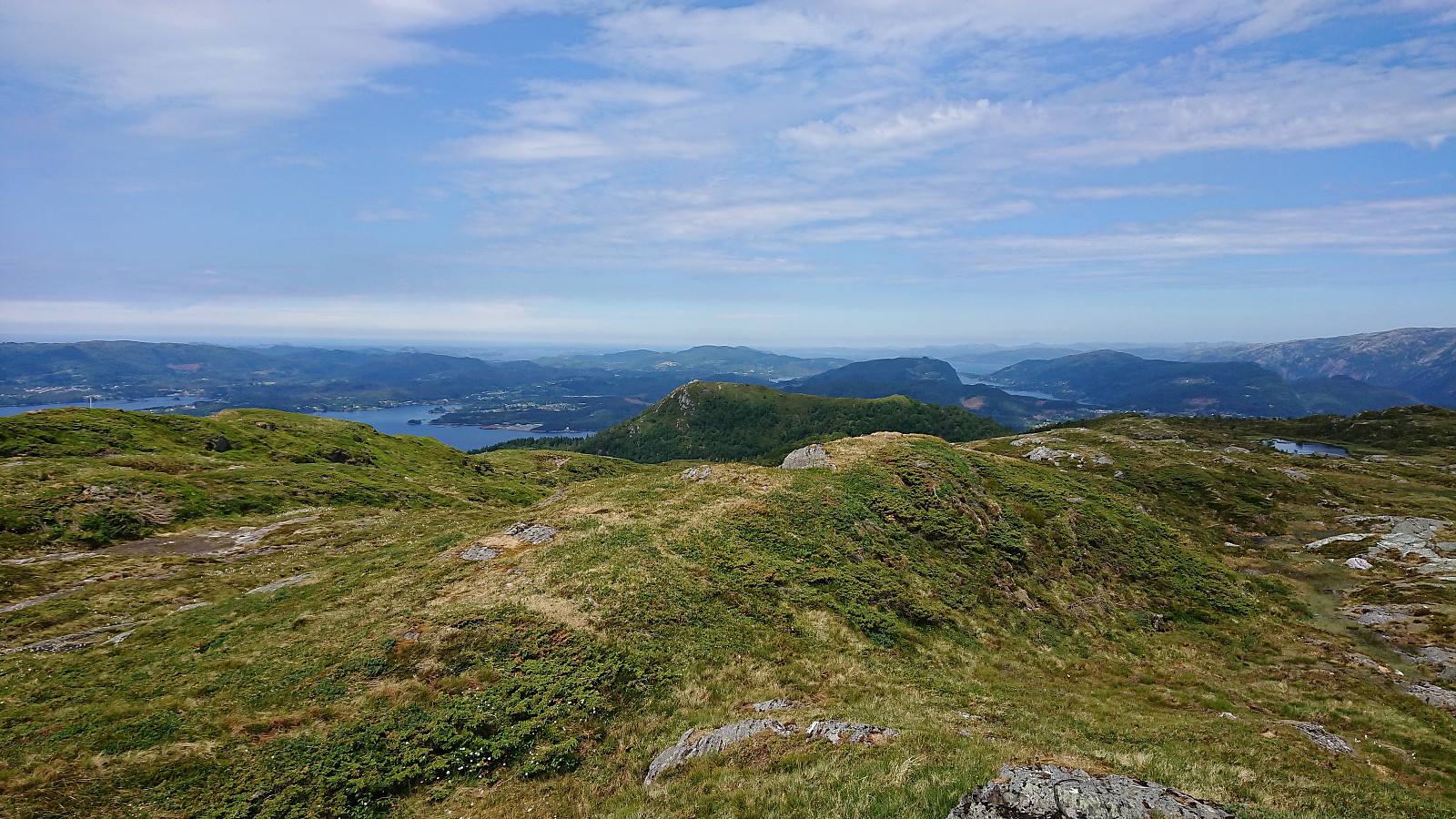
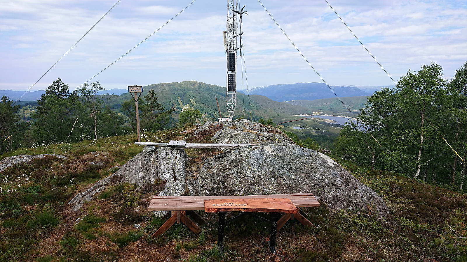
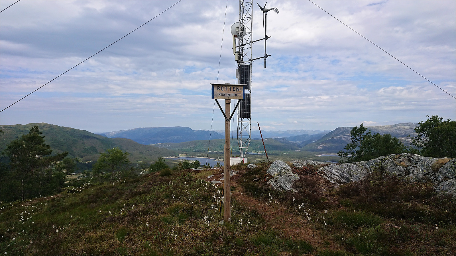
After signing the visitor register, which was located just south of the highest point on the wall of a small building, I continued to the antenna at the summit, and was positively surprised by the nice views. Not quite at the level of the two previous summits, but clearly worth a separate visit.
Shortcut to Fossdal
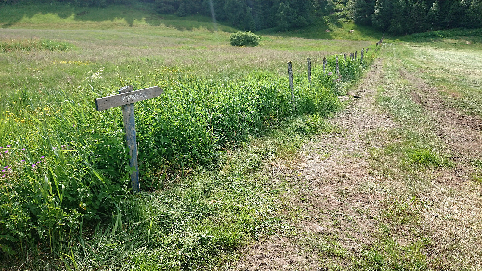
The only thing now remaining was to get to bus terminal at Lonevåg in time for the planned bus, as the next bus was three hours later. I started by following the same route back down to Kallekleiv, from where I was simply going to follow the road all the way to Lonevåg. On my way up I had however discovered a sign indicating a potential shortcut to Fossdal, which, if working, would both shorten the distance and reduce the time walking along the main road.
I therefore decided to give it a go. After crossing the field along the fence, the tractor road turned northwest and then full west, where it changed into a weak trail. From there on there were several signs indicating that there had been a trail there at some point, but the trail itself was probably so infrequently used that it had more or less disappeared.
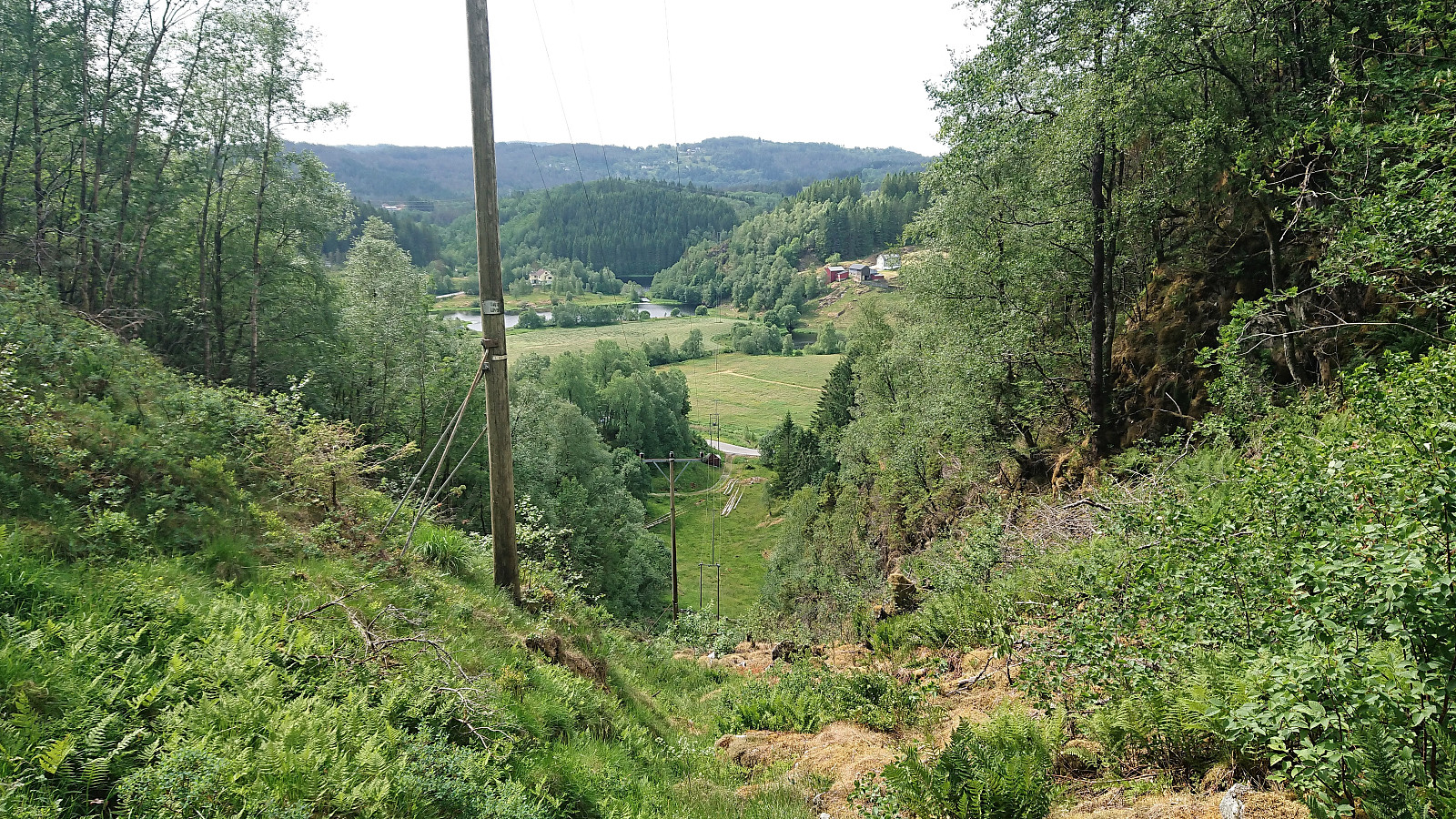
In the end I did reconnect with the main road and probably did save a bit of time, but pretty sure not many people use this shortcut anymore. The hike was then concluded by walking along the main road to Lonevåg terminal and the bus back to Bergen.
Conclusion
Overall a very nice hike that can be highly recommended. Åsheimveten and Tveitafjellet are however one or two levels above Rotten in terms of the provided views, but the visit to Rotten was still much better than expected, partly due to the nice and well-marked trails. The walk back to Lonevåg, with no sidewalks until the very end, was not the most interesting, but as the traffic was very limited it was not too bad either.
| Start date | 09.06.2018 10:54 (UTC+01:00 DST) |
| End date | 09.06.2018 15:55 (UTC+01:00 DST) |
| Total Time | 5h 01min |
| Moving Time | 4h 28min |
| Stopped Time | 0h 33min |
| Overall Average | 3.9km/h |
| Moving Average | 4.4km/h |
| Distance | 19.5km |
| Vertical meters | 1,077m |


User comments