
Rødsfjellet and Møsnuken (27.04.2018)

Geschrieben von hbar (Harald Barsnes)

| Startpunkt | Gjemdal (78m) |
|---|---|
| Endpunkt | Ulvenskiftet (42m) |
| Tourcharakter | Bergtour |
| Tourlänge | 5h 48min |
| Entfernung | 15,6km |
| Höhenmeter | 1.049m |
| GPS |
|
| Besteigungen | Møsnuken (639m) | 27.04.2018 |
|---|---|---|
| Rødsfjellet (525m) | 27.04.2018 | |
| Rødsfjellet Sør (432m) | 27.04.2018 | |
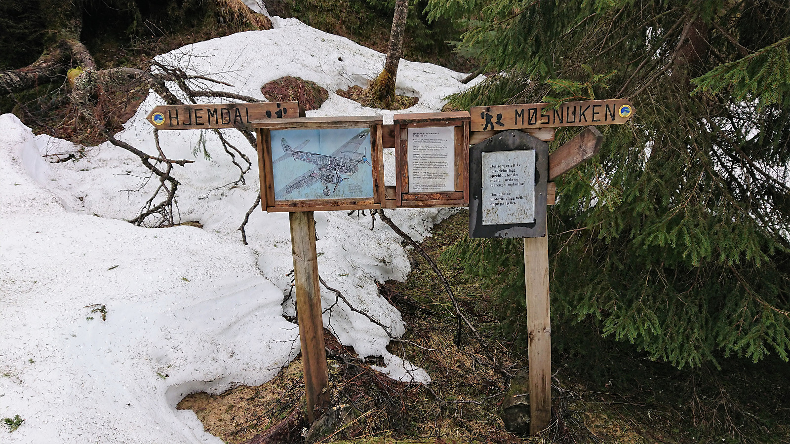
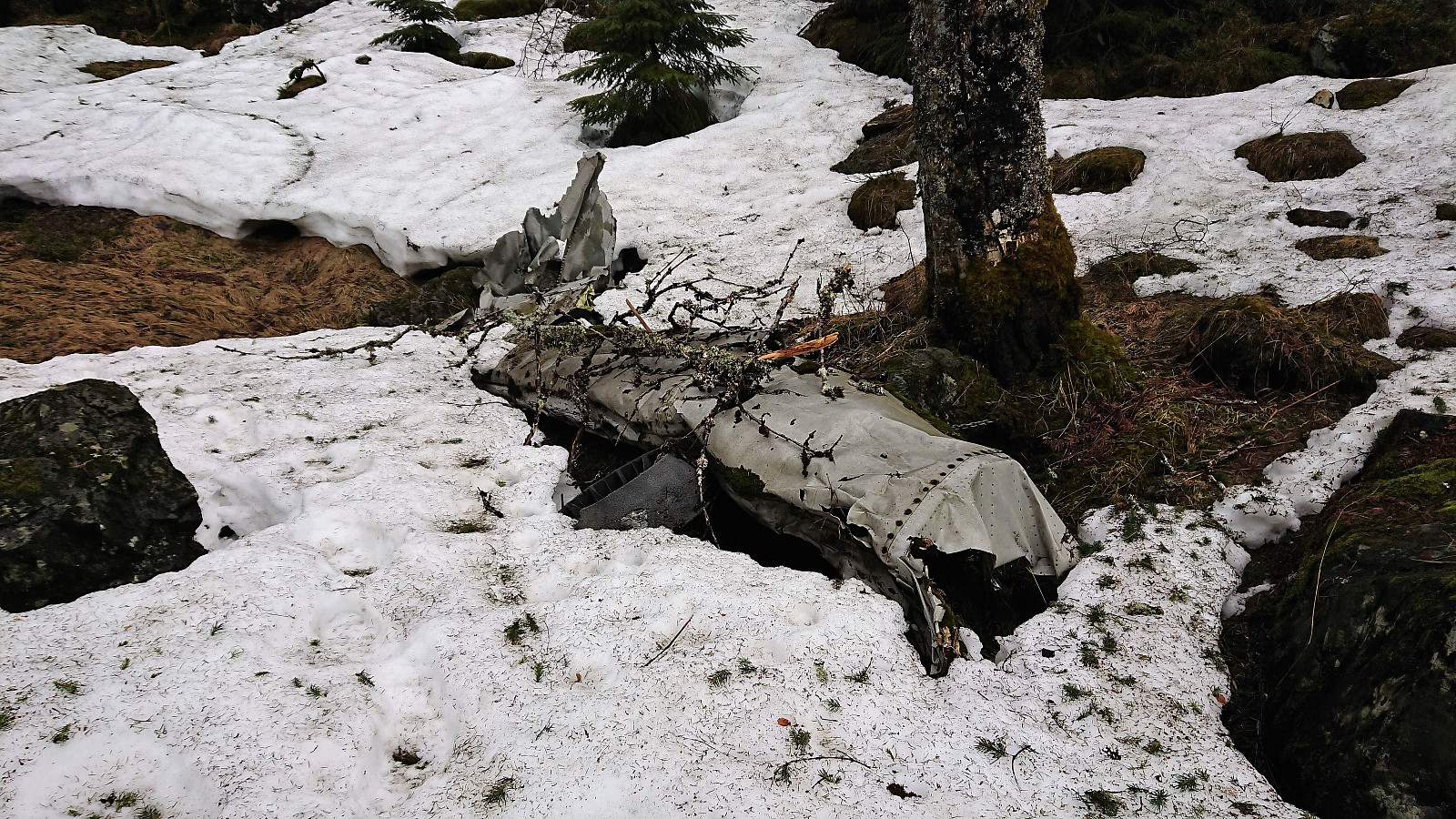
| Besuche anderer PBE | Tysk flyvinge fra 1942 (319m) | 27.04.2018 |
Rødsfjellet and Møsnuken
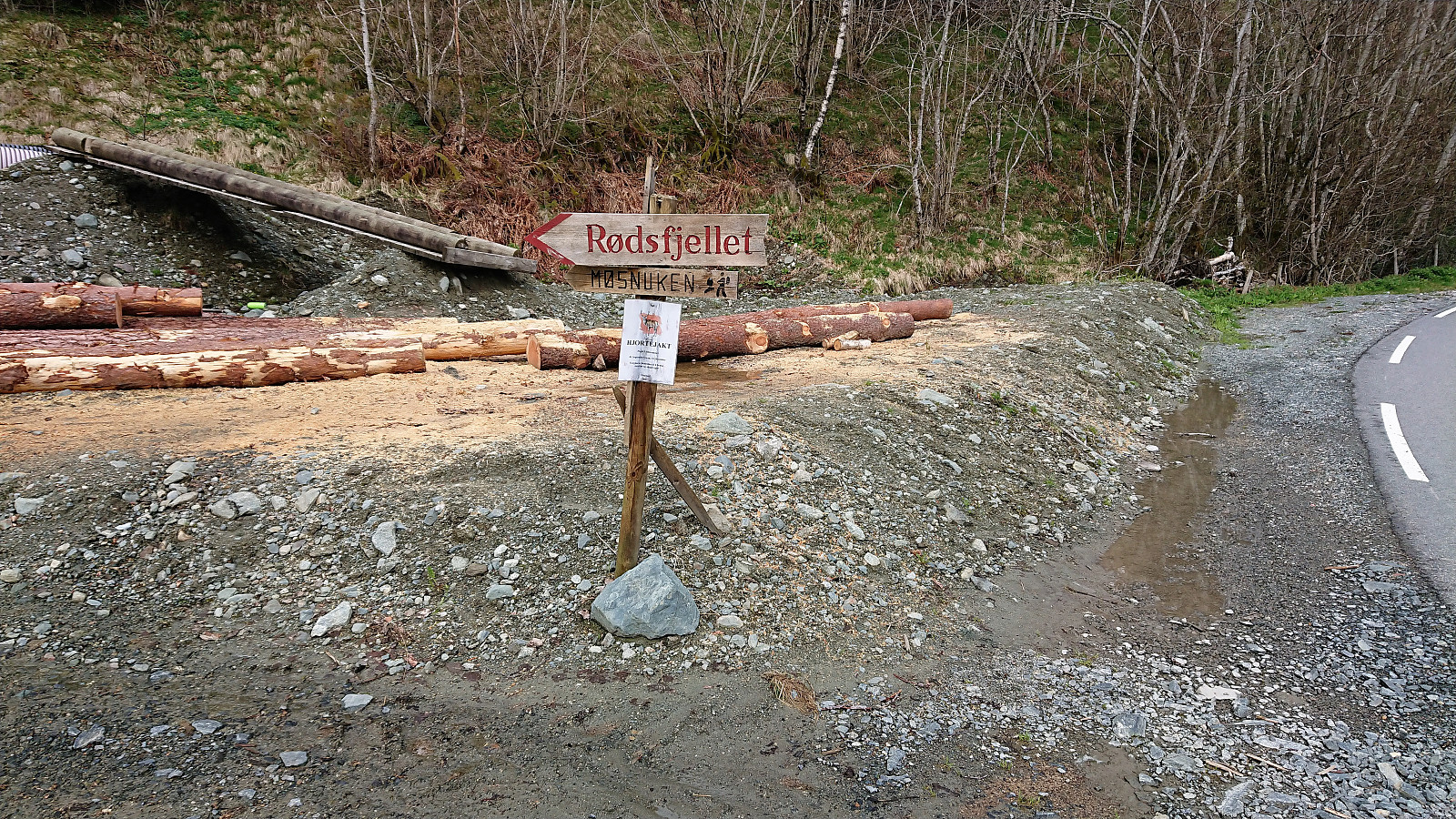
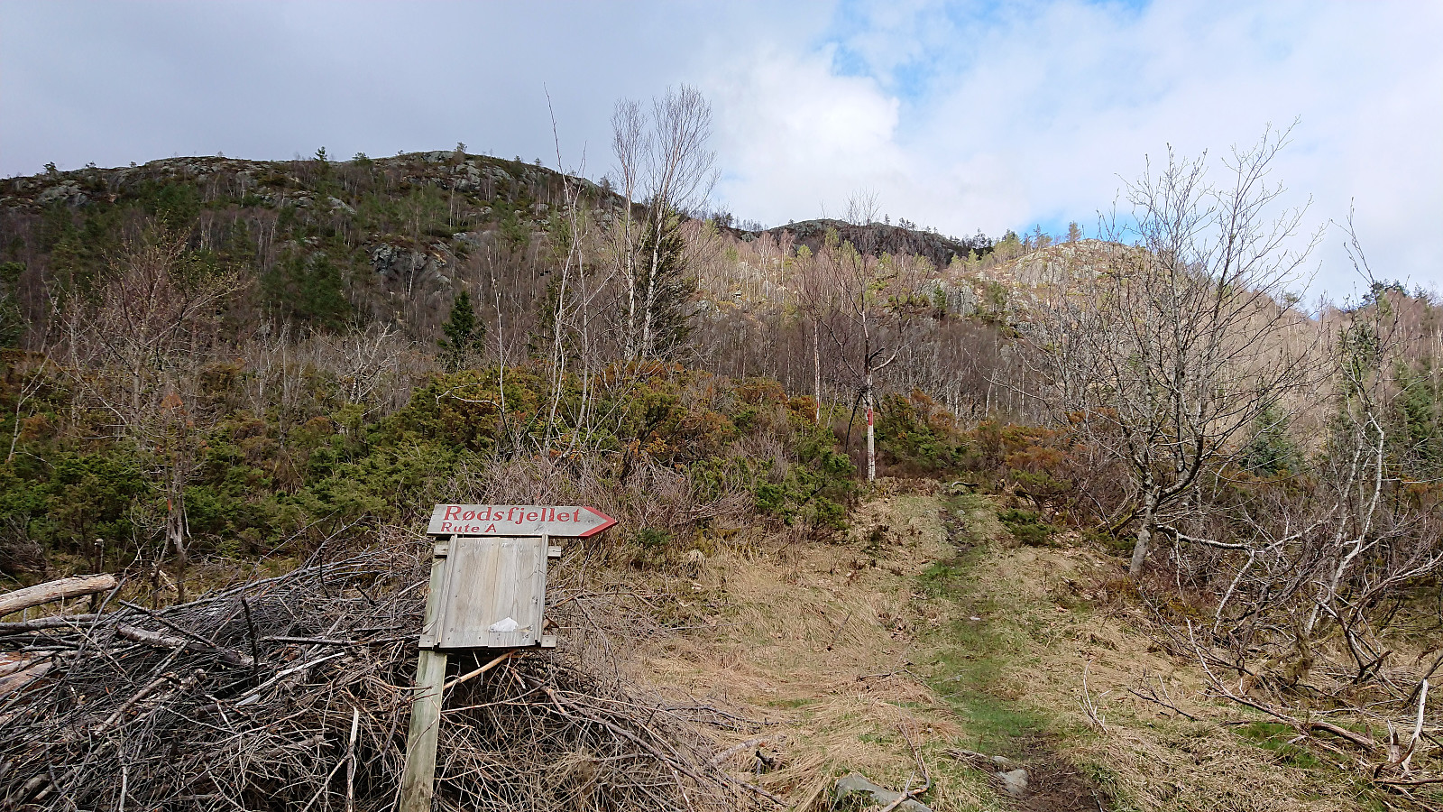
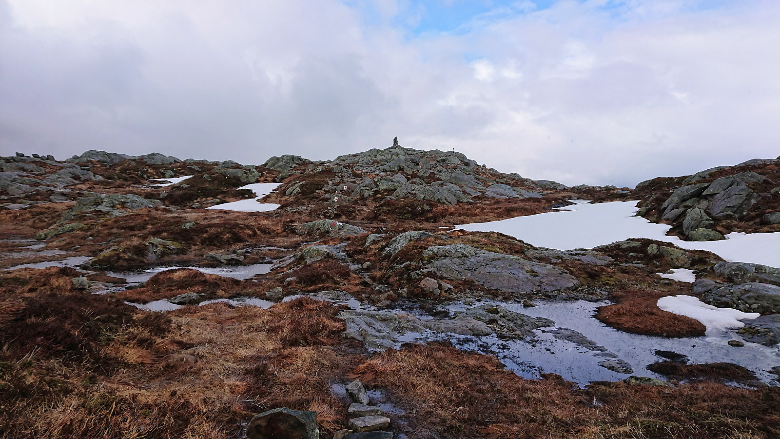
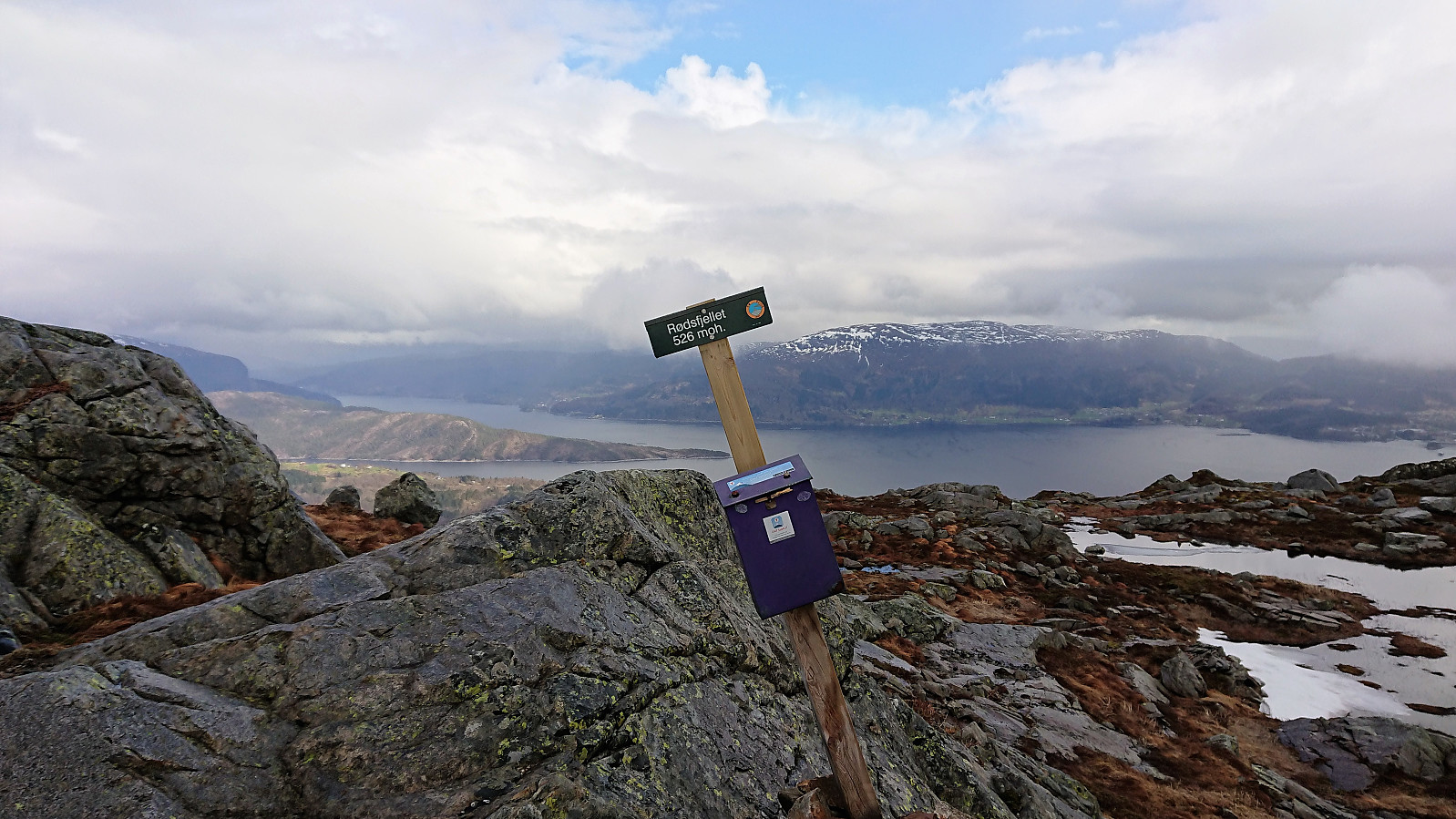
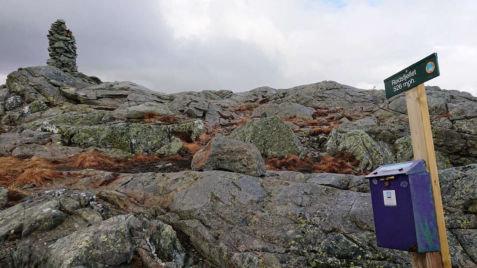

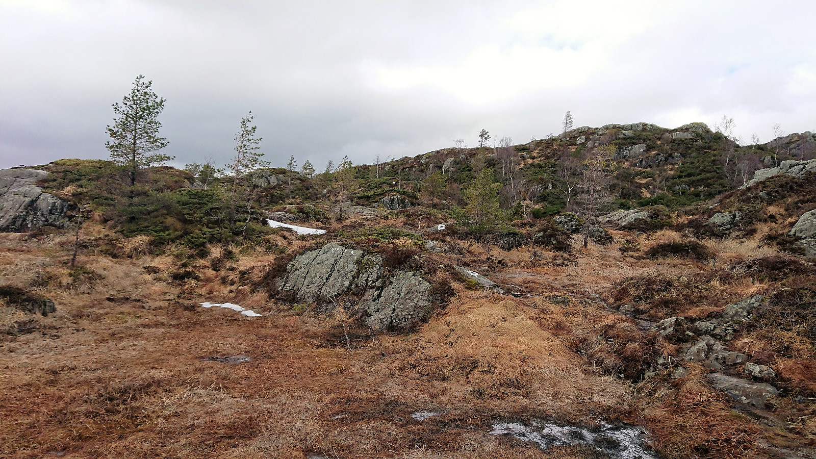
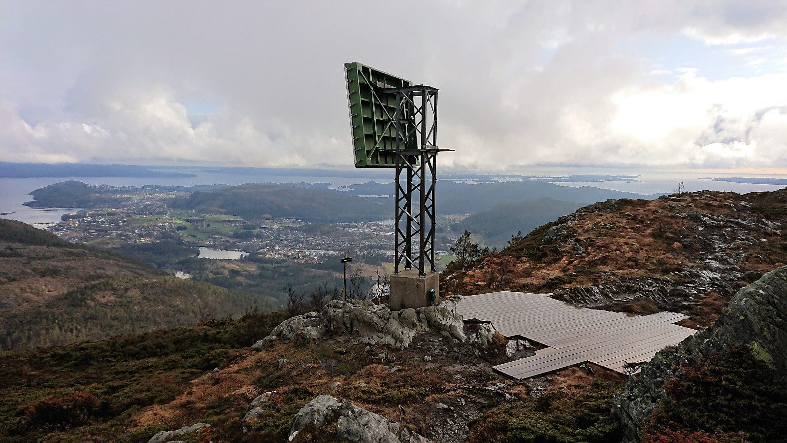
After a meeting at Solstrand I walked up to the main road from where I took the bus to Gjemdal. The marked trailhead was quickly found, which started out as a nice tractor road up the valley in between Rødsfjellet and Møsnuken called Gjemdalsskaret. Decided to follow the red trail towards Rødsfjellet, which was overall well-marked and easy to follow. Sadly it started raining, which combined with low-hanging clouds reduced the views. The rain came and went until reaching the summit, where I walked around a bit hoping for better conditions, but in the end I gave up and started the descent.
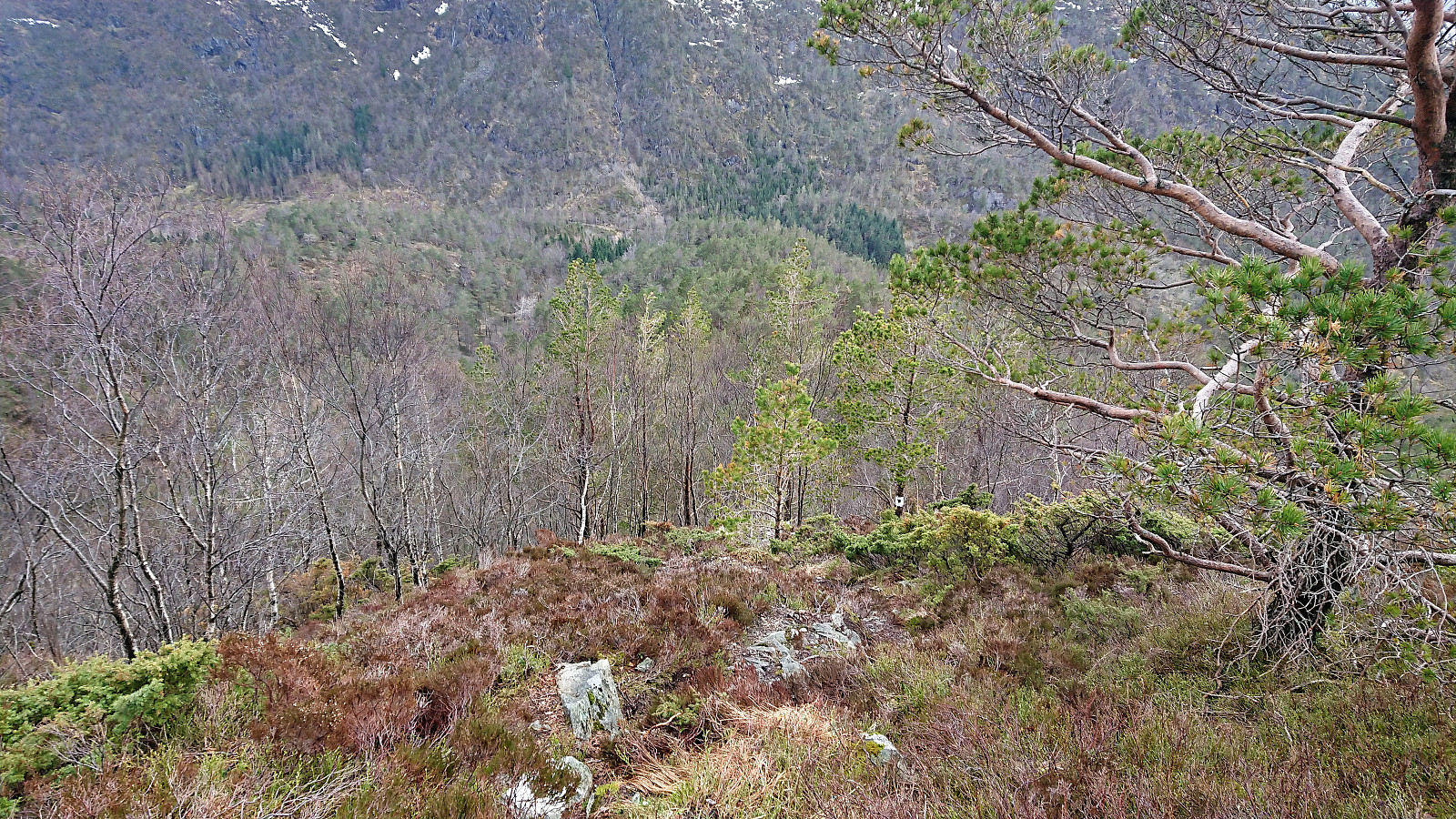
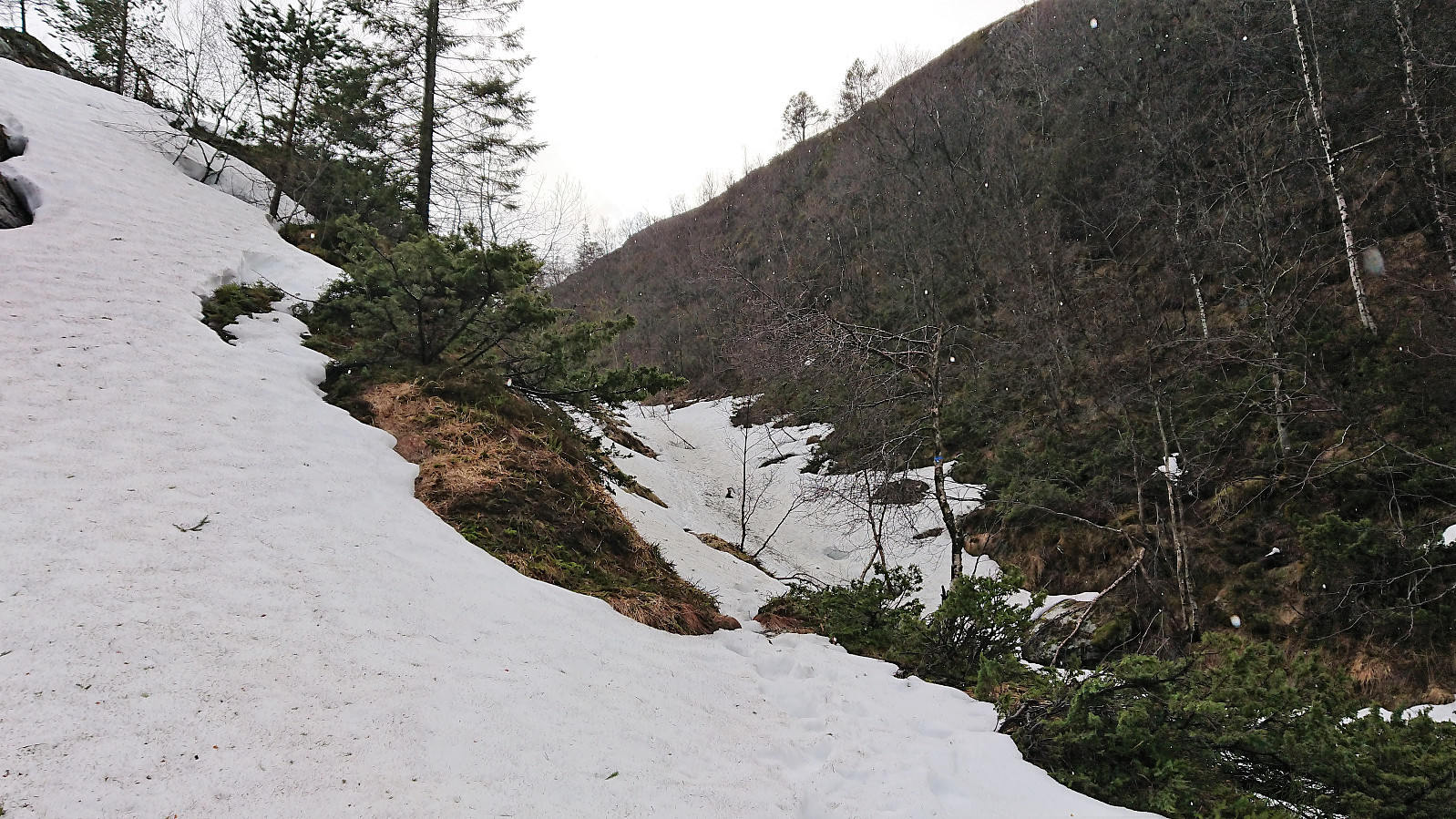
For the descent I followed the white trail, which was also well-marked, but I did lose it at one point due to it being hidden by snow. Luckily the white painted trail markers were easily visible from a distance and the trail was quickly relocated. The trail did contain some relatively steep sections where I had to be extra careful given the wet and slippery roots, but I made it down to the tractor road without any incidents. The final stretch was more of a river than a trail though.
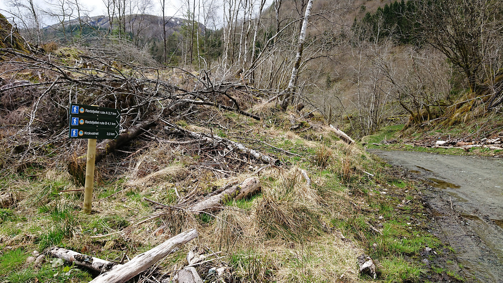
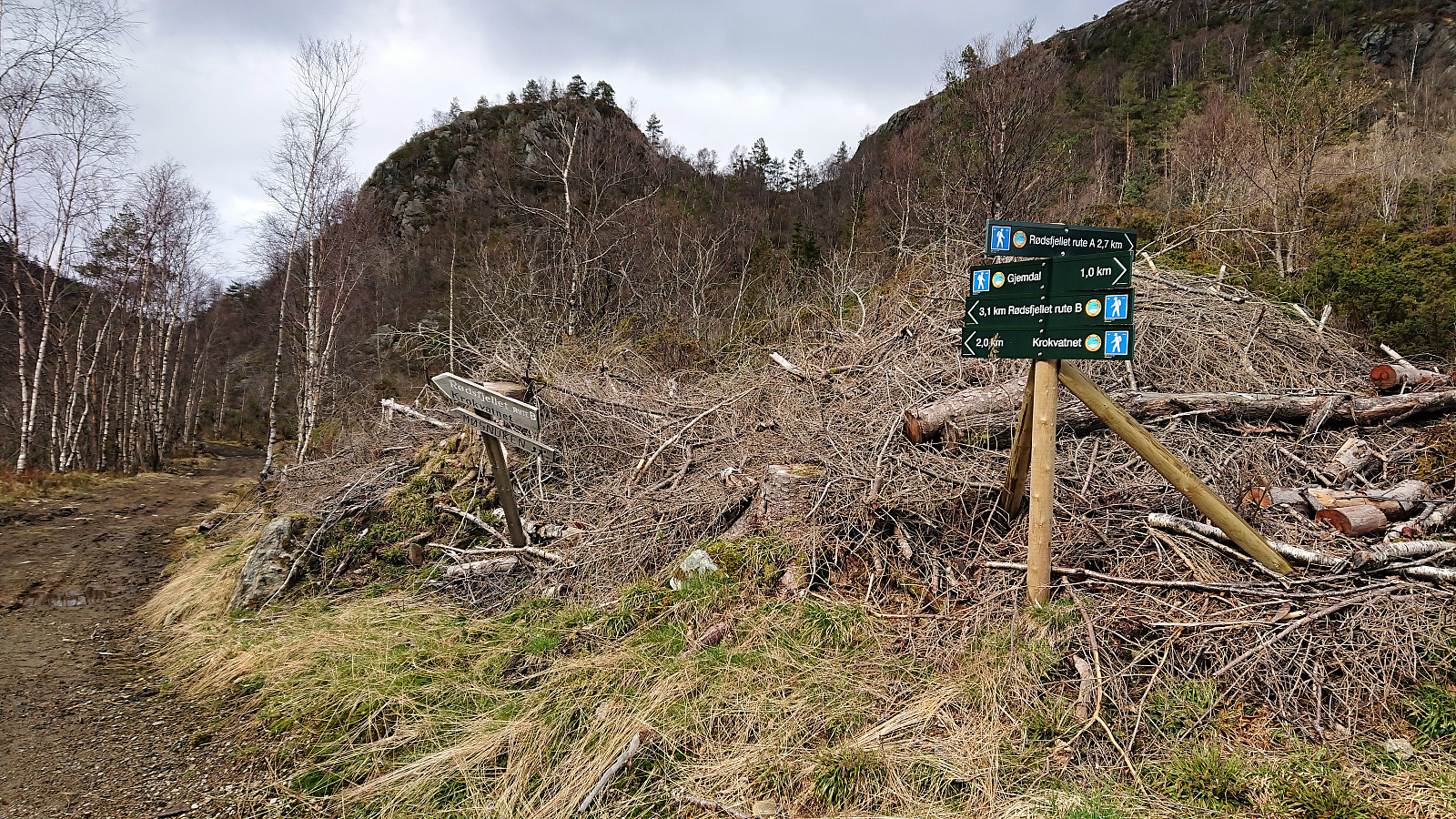
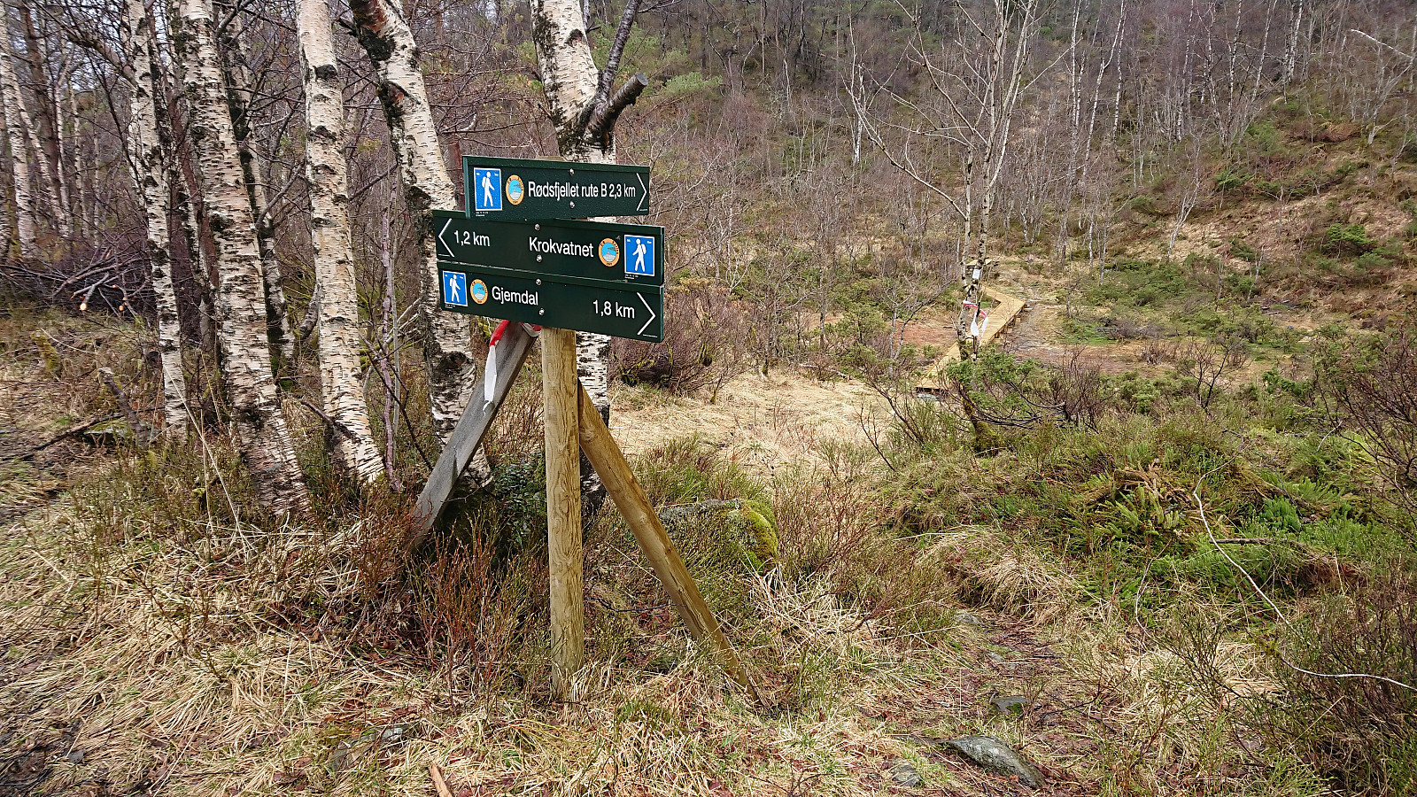
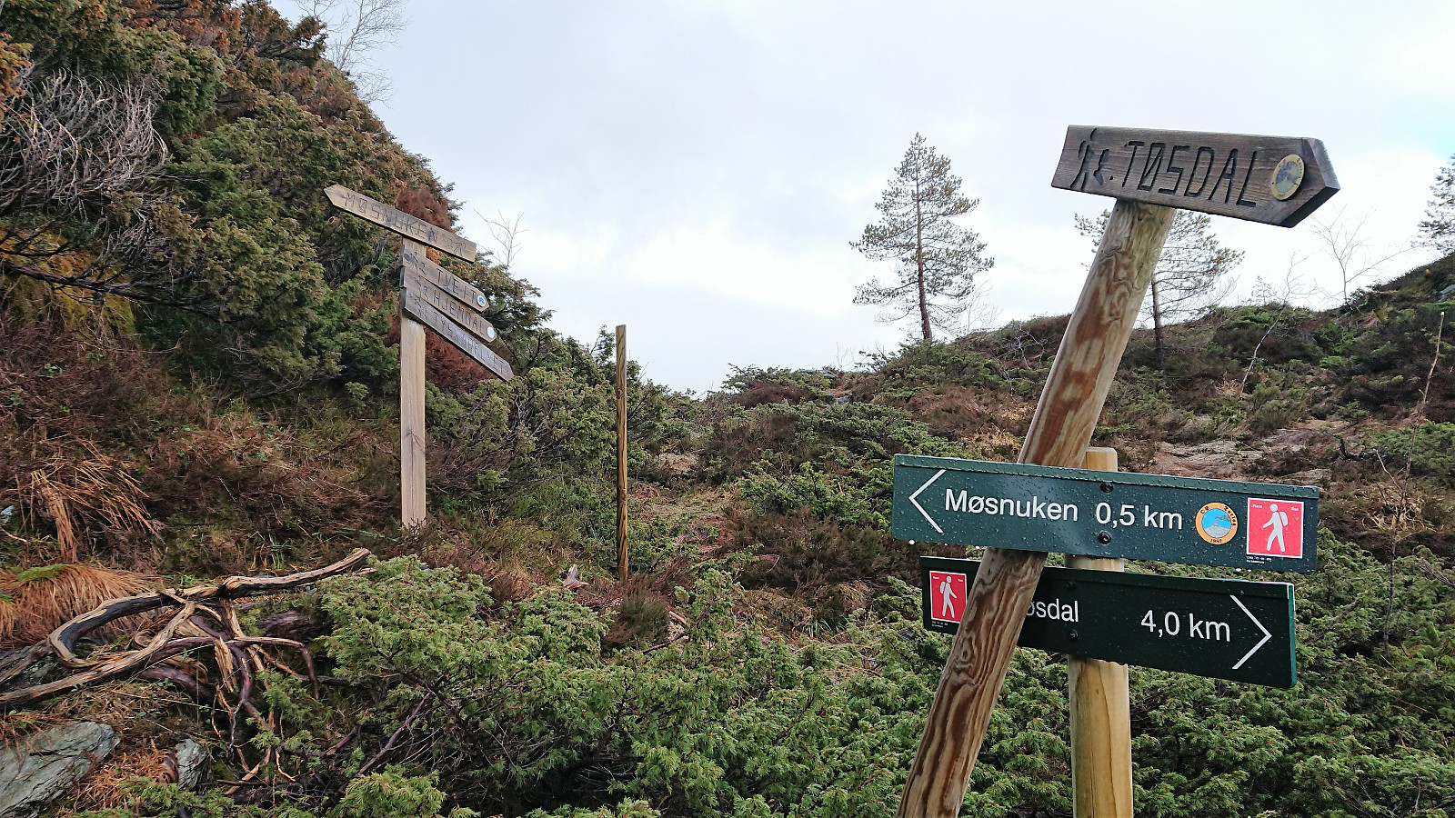
I now had two options: return to Gjemdal for the bus back to Bergen or continue across Møsnuken to Tyssdal and take the bus from there. I had noticed a trail towards Møsnuken indicated on the map, but I needed to find it quickly, because if I took too long and ended up not finding the trail, I would not make the bus at Gjemdal.
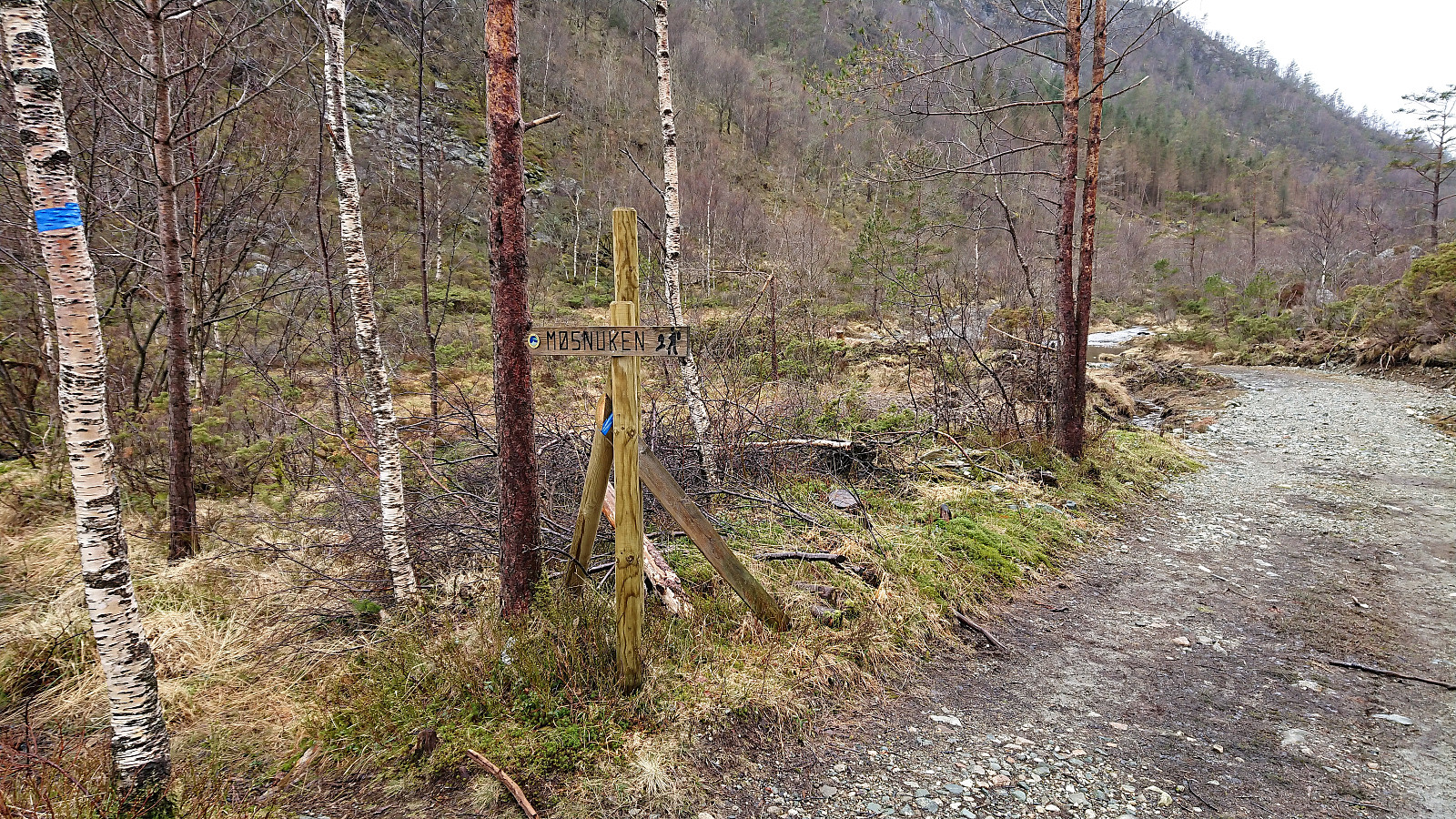
Headed southeast along the tractor road to where the trailhead was indicated on map, but did not find anything remotely looking like a proper trail. After a couple of minutes searching, I therefore decided to cut my losses and instead head for Gjemdal. However, to my surprise, after walking just around 150 meters further down the road I came across a marked trailhead for Møsnuken. So it turned out there was a trail after all, it was just not exactly where the map indicated it would be.
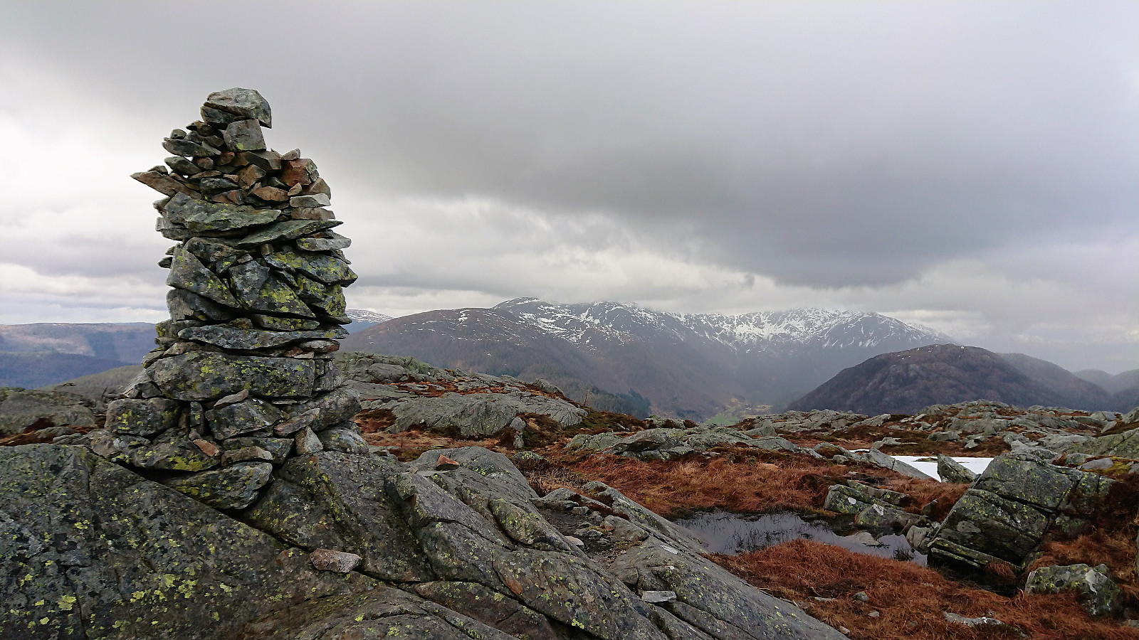
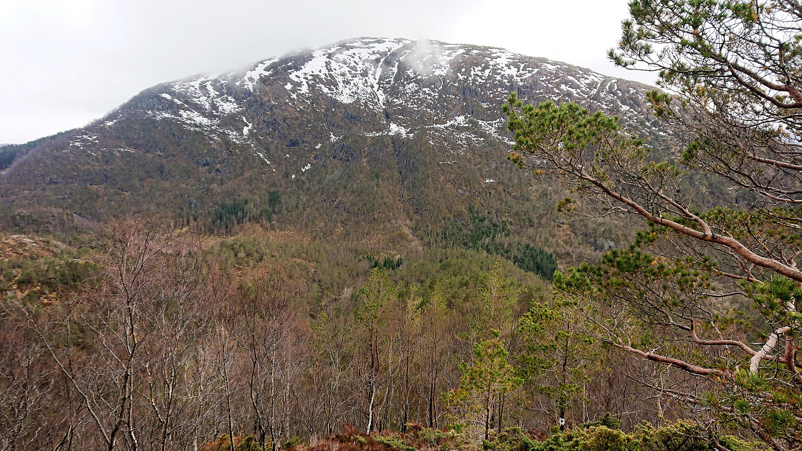
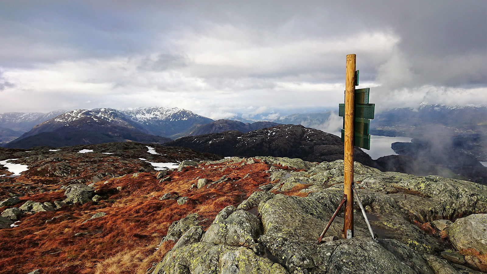
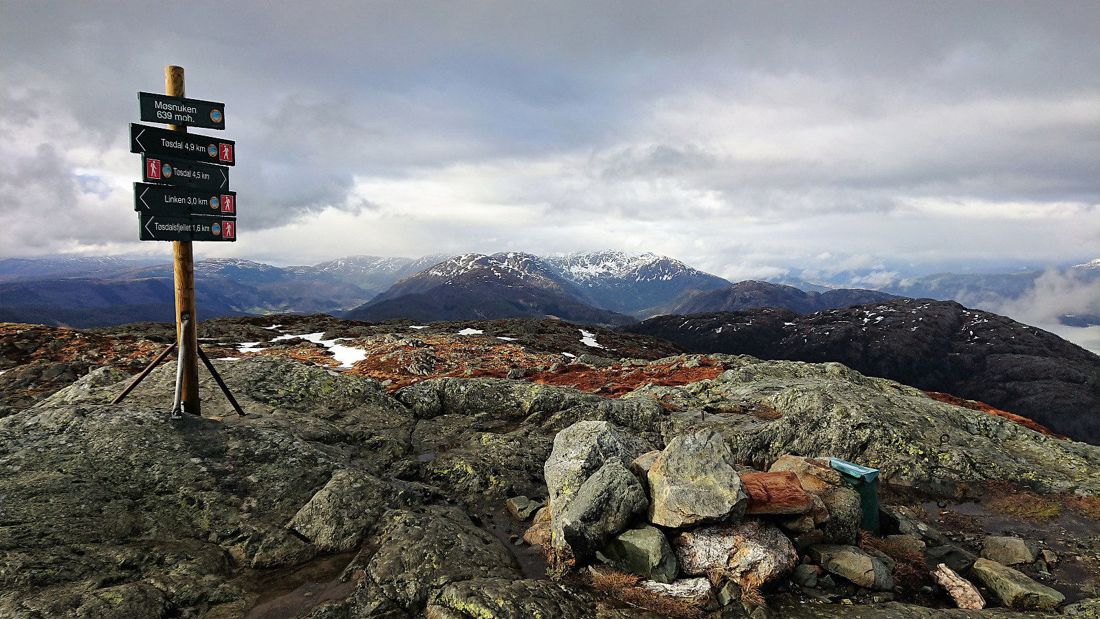
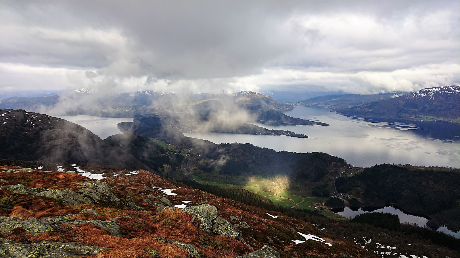
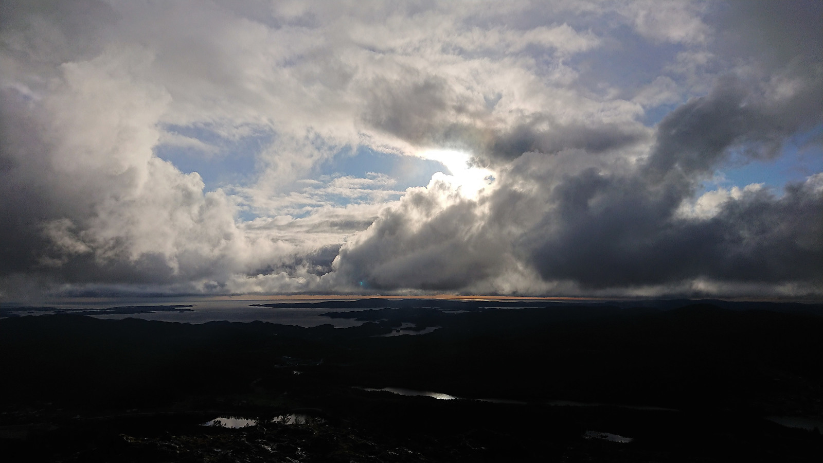
This trail had blue markers and took me steeply up towards Møsnuken and it was easy to follow until the snow started covering the trail, resulting in me losing and reconnecting with the trail several times. Luckily the snow did not cover all of the trail and disappeared altogether before turning north just below the summit, and the summit itself had no snow. The weather was slightly better than at Rødsfjellet (the rain was still on and off though), but the views were still rather limited compared to my previous visit of Møsnuken.
Did not stay long before continuing southwest along Tyssdalsfjellet (skipping the detour to the summit) and the descent towards Tyssdal. Again the wet and slippery roots made the final steep descent more challenging, but by being extra careful I managed to avoid slipping and falling this time as well. The hike was concluded by walking to Ulvenskiftet for the bus back to Bergen.
In summary, a very nice hike along well-marked and easy to follow trails that can be highly recommended. Should definitely redo this one in better weather conditions.


| Startzeitpunkt | 27.04.2018 14:41 (UTC+01:00 SZ) |
| Endzeitpunkt | 27.04.2018 20:29 (UTC+01:00 SZ) |
| Gesamtzeit | 5h 48min |
| Zeit in Bewegung | 5h 26min |
| Pausenzeit | 0h 22min |
| Gesamtschnitt | 2,7km/h |
| Bewegungsschnitt | 2,9km/h |
| Entfernung | 15,6km |
| Höhenmeter | 1.049m |


Benutzerkommentare