
Lyngbø to Lauvåsen (24.02.2018)

Skrevet av hbar (Harald Barsnes)

| Startsted | Lyngbø (18moh) |
|---|---|
| Sluttsted | Lauvåsen (56moh) |
| Turtype | Fjelltur |
| Turlengde | 2t 25min |
| Distanse | 5,9km |
| Høydemeter | 391m |
| GPS |
|
| Bestigninger | Eikelifjellet i Bergen (258moh) | 24.02.2018 |
|---|---|---|
| Lyngbønipa (275moh) | 24.02.2018 | |
| Vest for Fyllingsnipa (286moh) | 24.02.2018 | |
| Andre besøkte PBE'er | Eikelisteinen (250moh) | 24.02.2018 |
Lyngbø to Lauvåsen
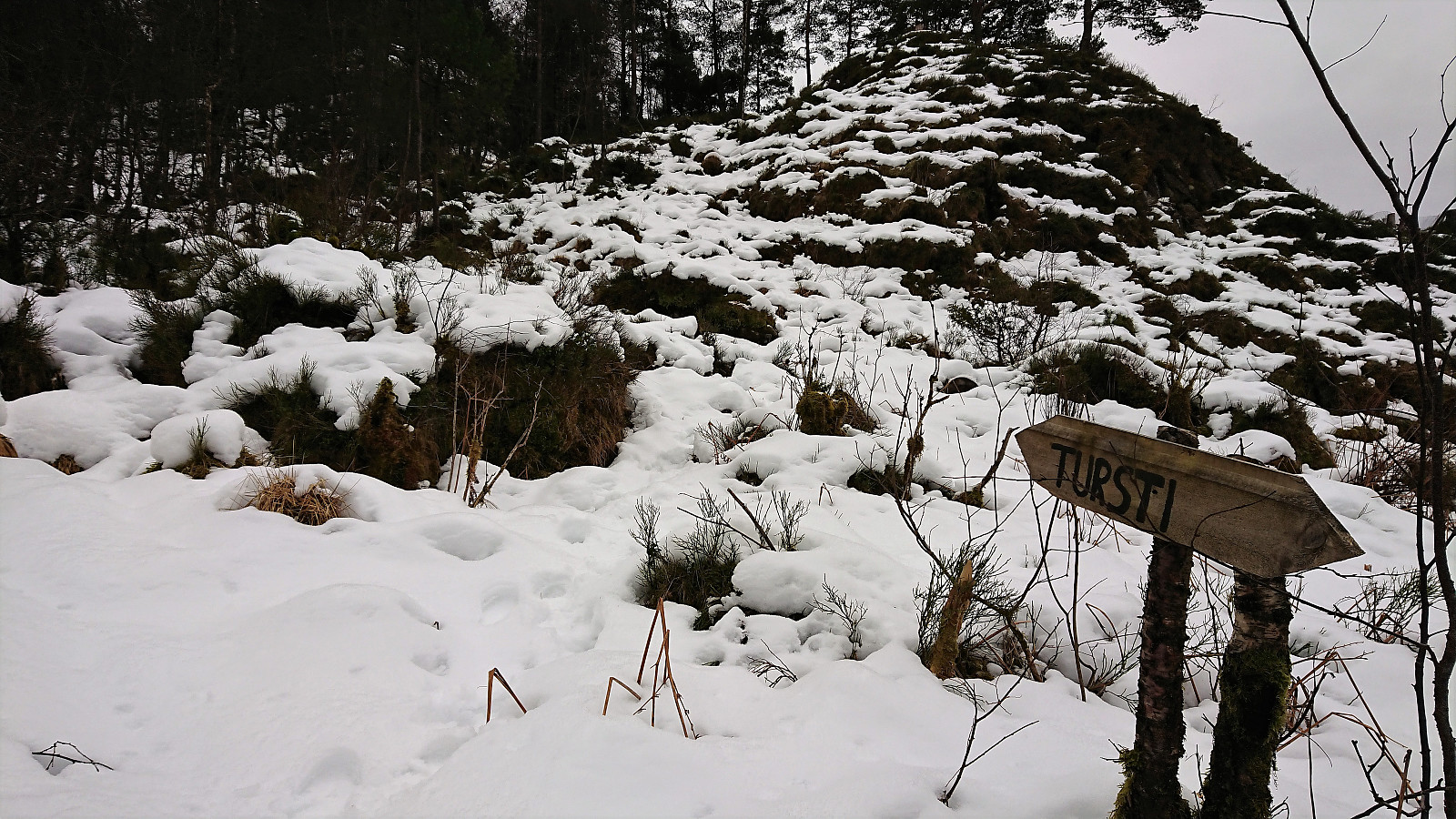

My initial plan for the day had to be changed due to a missed connecting bus at Lyngbø. I decided to instead try a new route up to Lyngbønipa and across Eikelifjellet, and walked up to the start of Nipedalen to locate the start of the trail up the valley in between Lyngbønipa and Gravdalsfjellet (in between Nipedalen 74 and 76). The trailhead was unmarked, but a sign with "Tursti" showed up later.
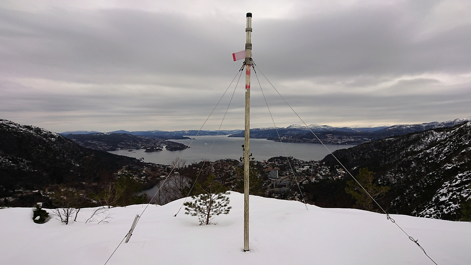
The trail itself was today hidden under the snow, but I was lucky enough to have 2-3 sets of footprints to follow. Although this ascent towards Lyngbønipa is not as steep as the one starting from the top of Nipedalen, it was still relatively hard, especially due to the deep snow, but the terrain did flatten out well before reaching Nipetjørnet.
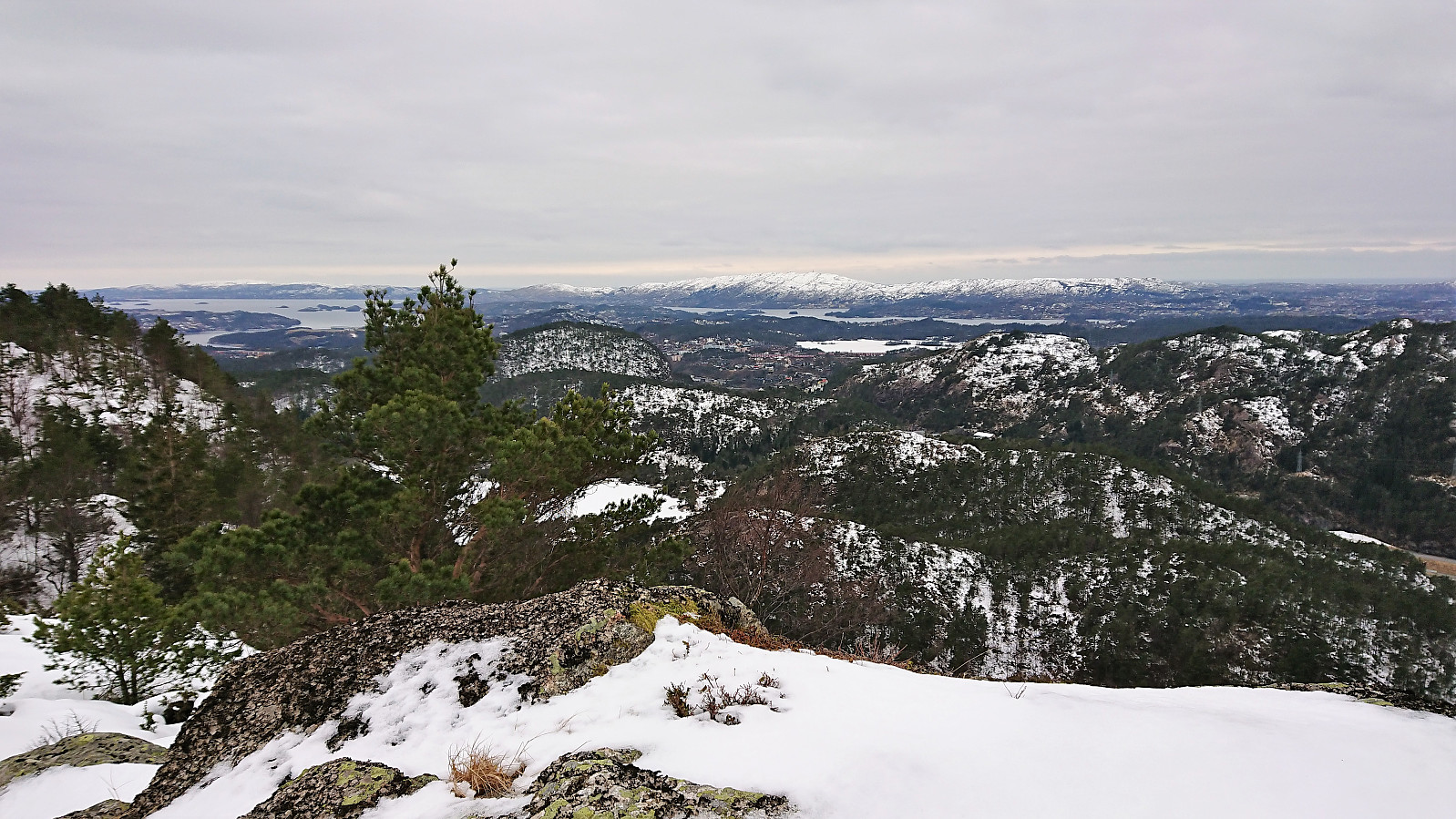
No footprints towards the summit of Lyngbønipa, so for this stretch I had to make my own path. After a short stay at the summit I returned the same way, and quickly rejected the steep trail directly down to Nipedalen as it was packed with ice, not a good combination with the very steep descent. I instead continued south to Eikelifjellet, which also provided its fair share of icy challenges, but nothing too difficult.
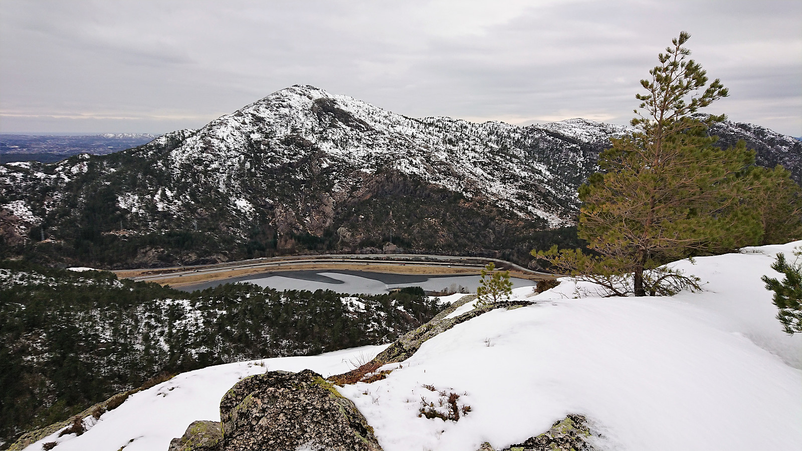
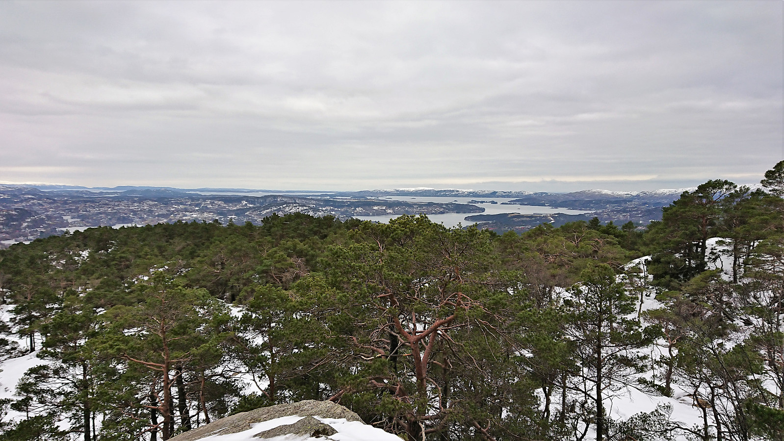
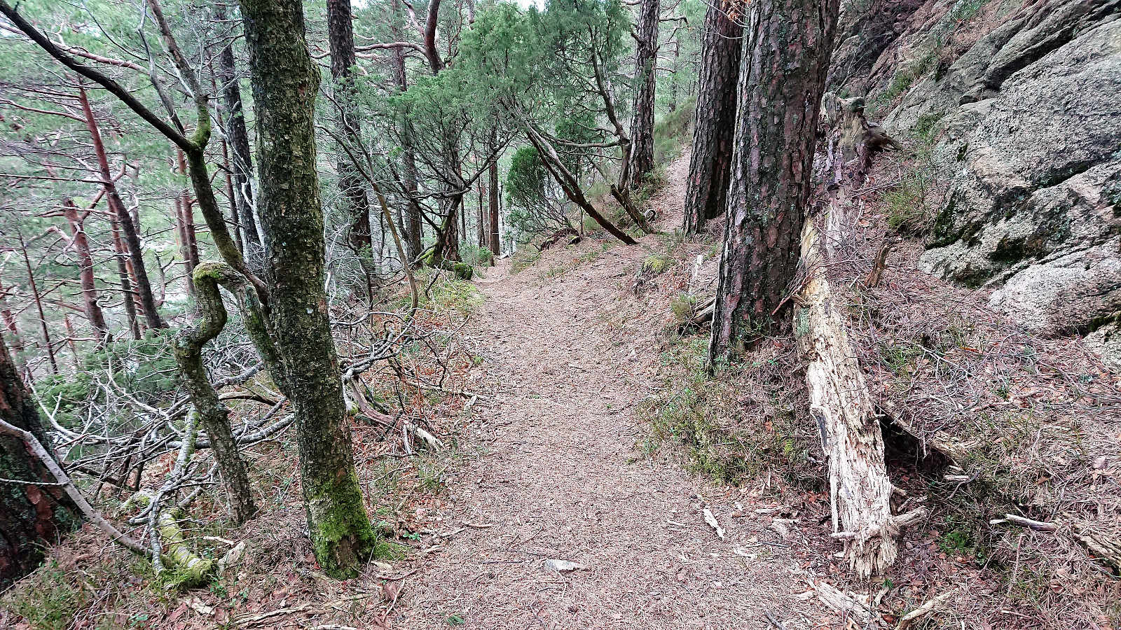
From Eikelifjellet I continued south along a (for me) new trail down to Lauvåsen. Towards the end the ice finally started to disappear and I could enjoy the nice but steep trail. The hike was concluded by walking to the main road and from there taking the bus back to the city center.
In summary, as a backup plan this hike was harder than expected due to all the snow and ice, and probably much better in the summertime.
| Starttidspunkt | 24.02.2018 11:10 (UTC+01:00) |
| Sluttidspunkt | 24.02.2018 13:35 (UTC+01:00) |
| Totaltid | 2t 25min |
| Bevegelsestid | 2t 13min |
| Pausetid | 0t 11min |
| Snittfart totalt | 2,4km/t |
| Snittfart bevegelsestid | 2,6km/t |
| Distanse | 5,9km |
| Høydemeter | 391m |


Kommentarer