
Orratuva from Raknesvågen (19.11.2017)

Written by hbar (Harald Barsnes)

| Start point | Raknesvågen (4m) |
|---|---|
| Endpoint | Raknesvågen (4m) |
| Characteristic | Hillwalk |
| Duration | 1h 47min |
| Distance | 5.7km |
| Vertical meters | 345m |
| GPS |
|
| Ascents | Orratuva (303m) | 19.11.2017 |
|---|
Orratuva from Raknesvågen
Orratuva
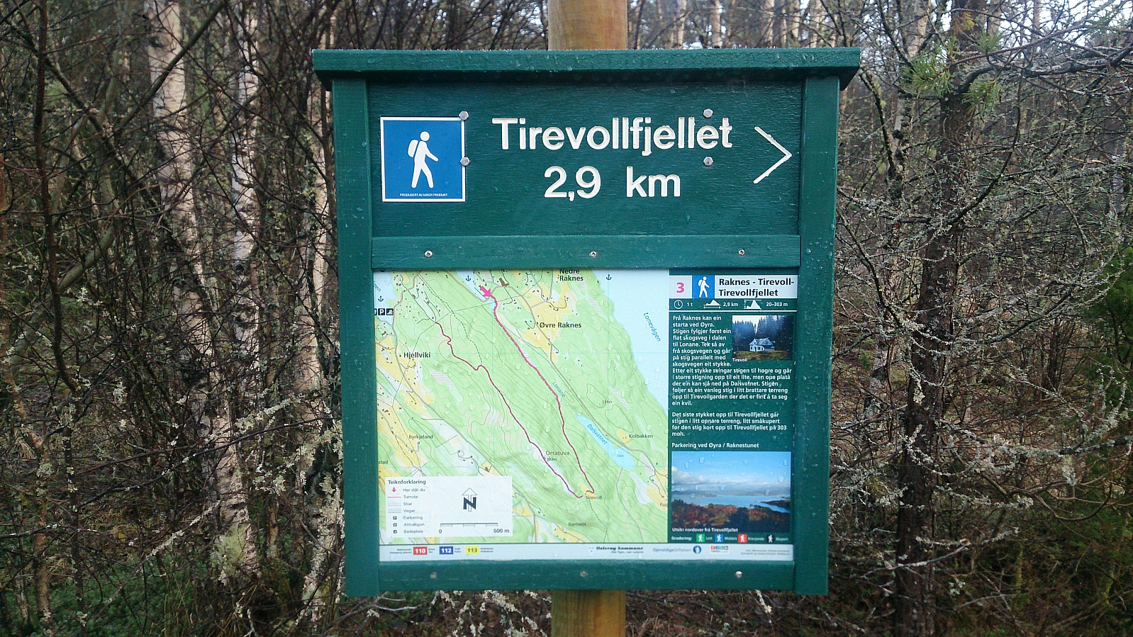
After last weekend's failure to locate the trail(s) to Orratuva (Trying to find a shortcut to Orratuva (and failing...)), I had to give it another go. This time starting from Raknesvågen, which we arrived at by car. The trailhead included a sign with the map of the marked trail to Tirevollfjellet, the local name for Orratuva.
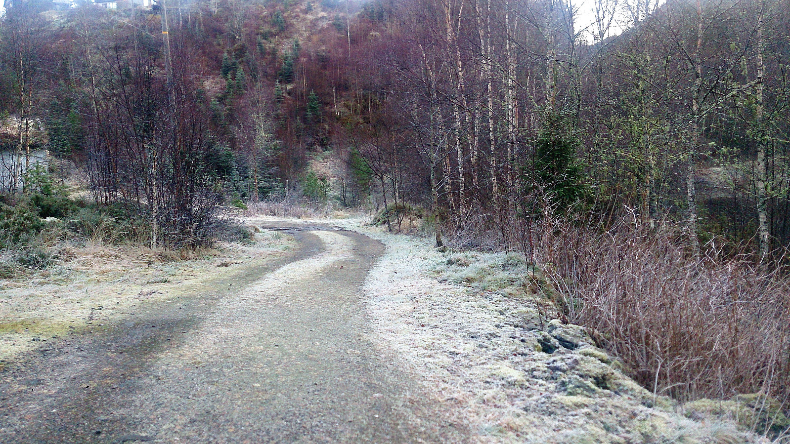
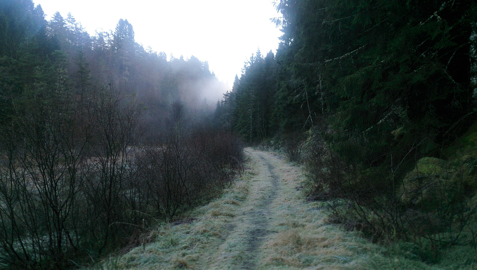
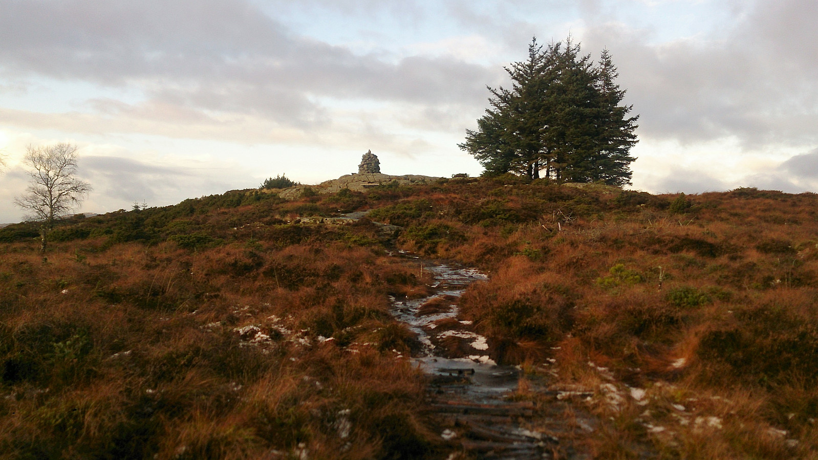
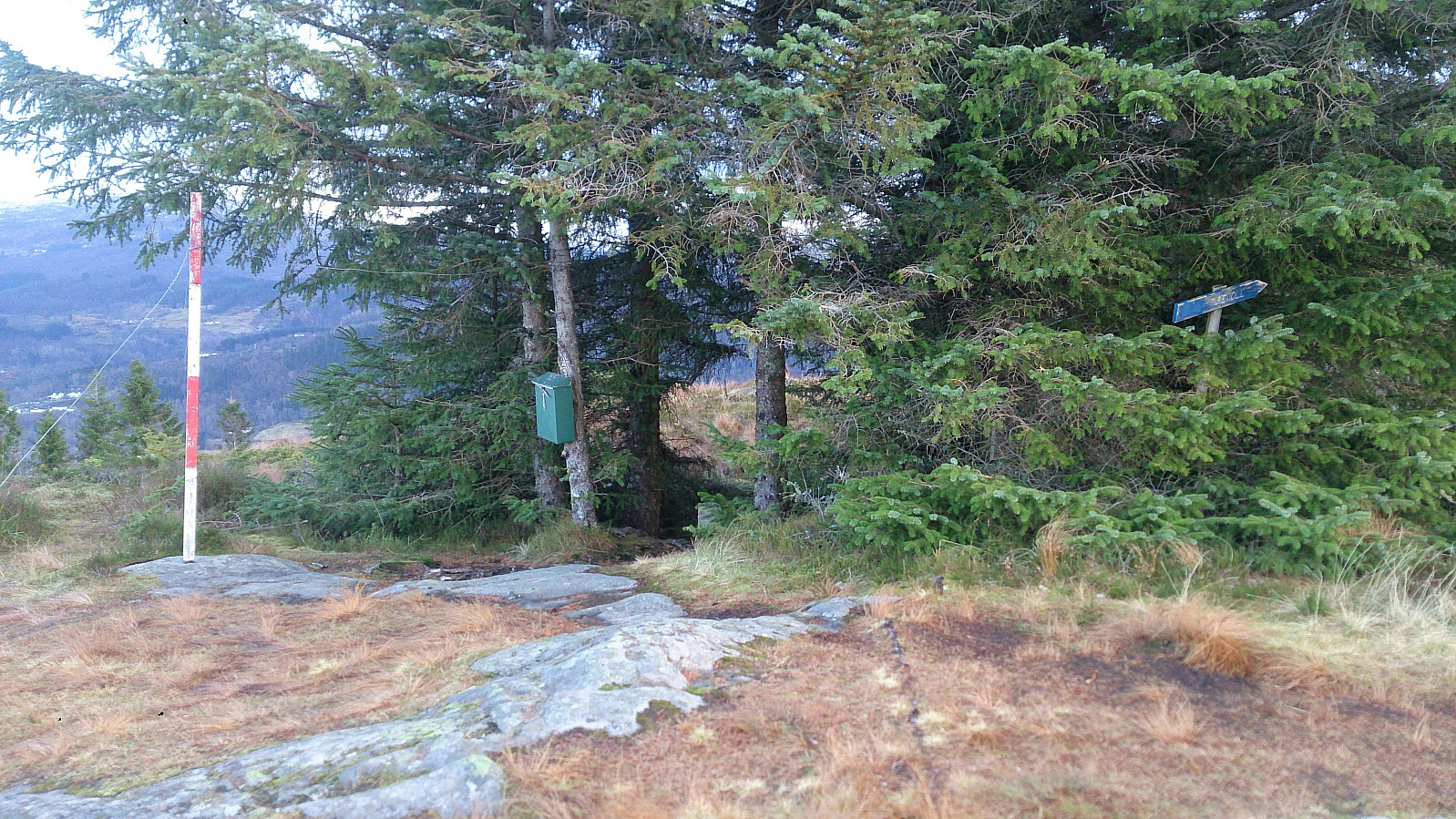
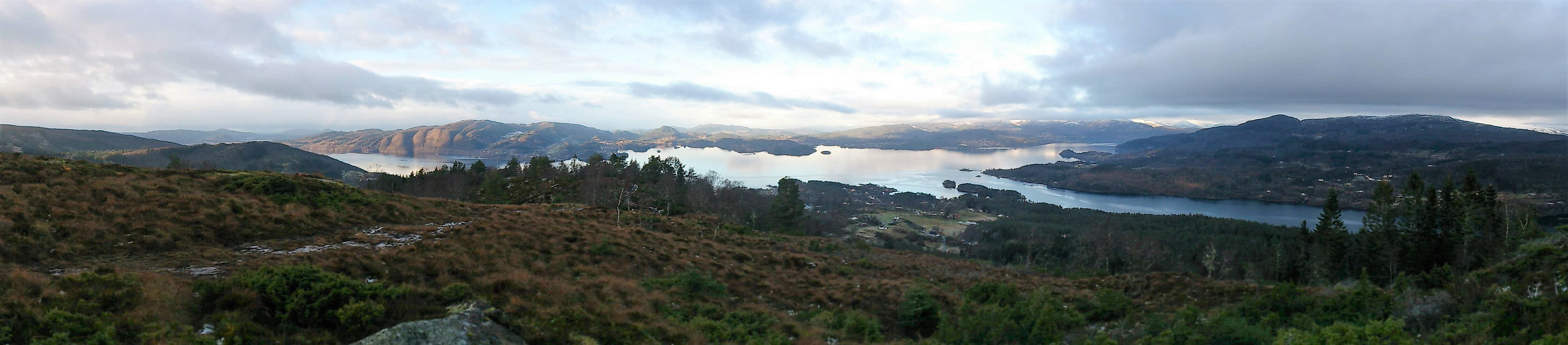
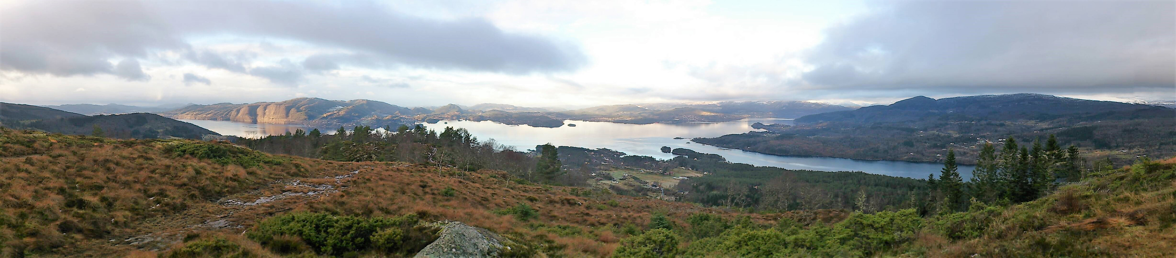
We started out southeast along a tractor road, which later turned into a trail, passing by Tirevollsgarden before turning northwest towards the summit. Excellent views from the summit, especially towards Osterfjorden and beyond. A large cairn and a summit register was also available.
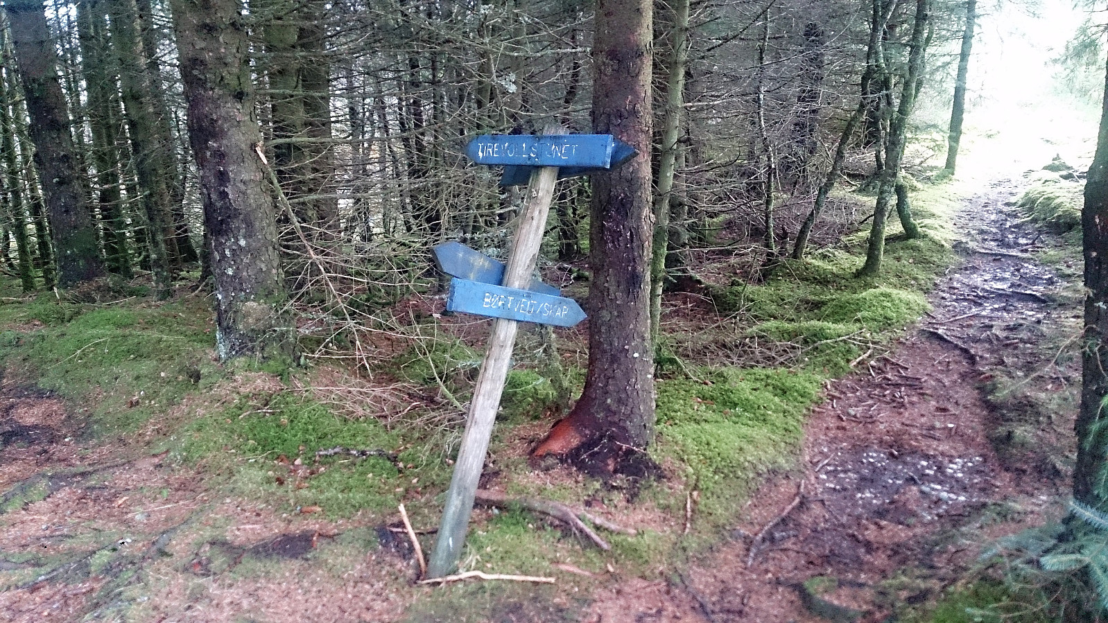
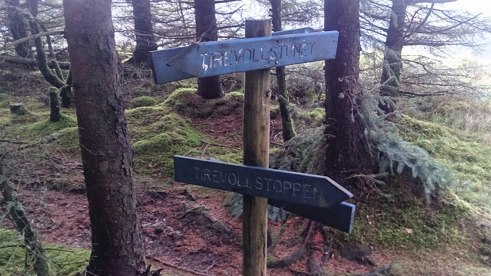
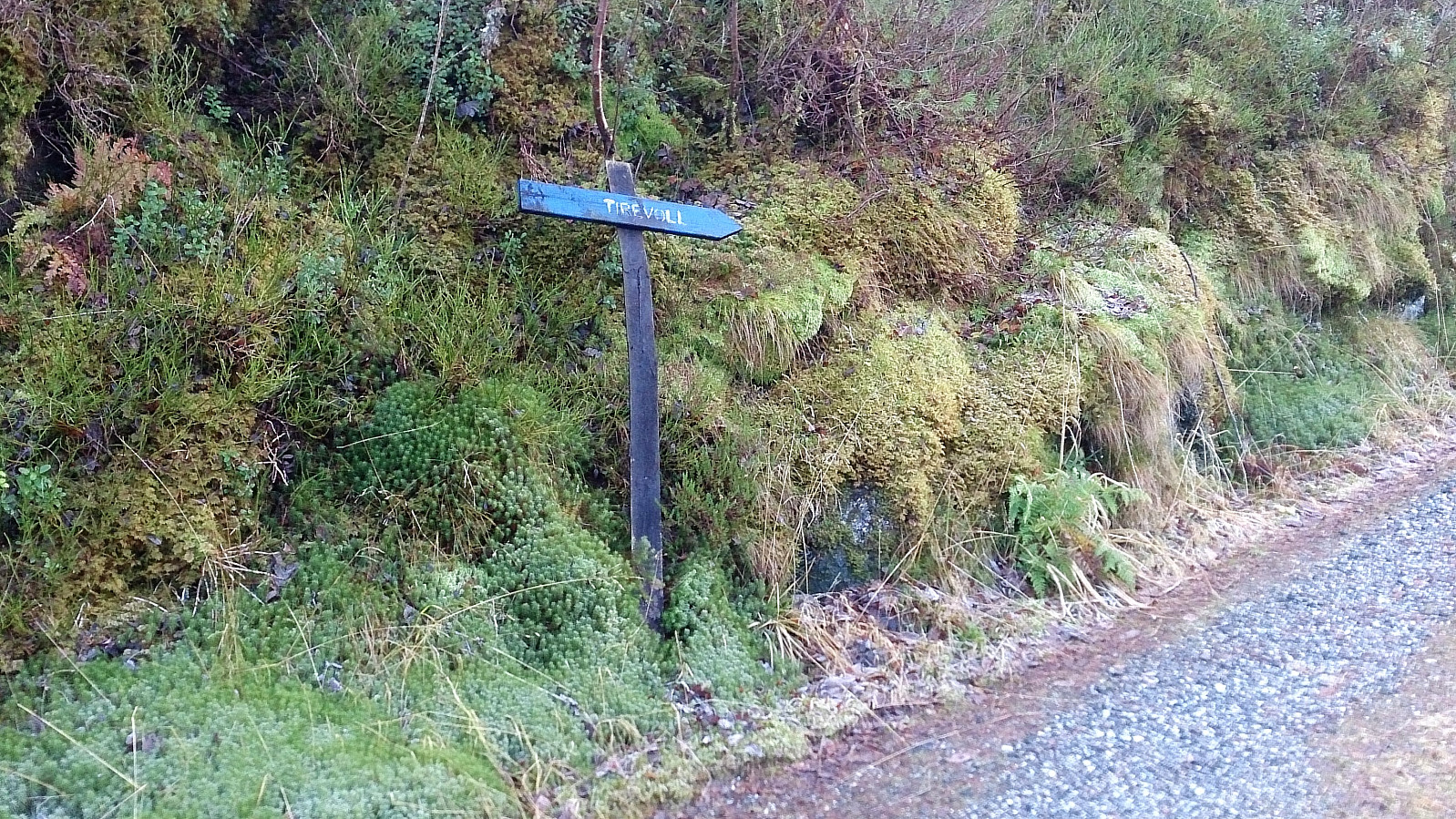
After a short stay at the summit, we continued northwest along the trail to Raknesvegen. When almost at the road, the trail more or less ended up in someone's garden, and we thought we had taken a wrong turn somewhere. But we shortly came across signs to Tirevoll (pointing in the opposite direction), so I assume this was the proper trail after all.
The hike was concluded by walking along the road back to the car.
Conclusion
Overall, a very nice but short hike with excellent views. Can be recommended.


| Start date | 19.11.2017 12:26 (UTC+01:00) |
| End date | 19.11.2017 14:13 (UTC+01:00) |
| Total Time | 1h 47min |
| Moving Time | 1h 44min |
| Stopped Time | 0h 3min |
| Overall Average | 3.2km/h |
| Moving Average | 3.3km/h |
| Distance | 5.7km |
| Vertical meters | 344m |


User comments