
Trying to find a shortcut to Orratuva (and failing...) (12.11.2017)

Written by hbar (Harald Barsnes)

| Start point | Valestrand kai (1m) |
|---|---|
| Endpoint | Valestrand kai (2m) |
| Characteristic | Hillwalk |
| Duration | 4h 05min |
| Distance | 13.7km |
| Vertical meters | 763m |
| GPS |
|
| Ascents | Burkelandsfjellet (365m) | 12.11.2017 |
|---|
Trying to find a shortcut to Orratuva (and failing...)


The plan: Orratuva
After my recent visit to Burkelandsfjellet I had been looking for a way to get to the neighboring summit of Orratuva, with the added constraint that it had to be possible to start from Valestrand and make it back to the ferry before it got too dark (which is quite early in mid-November). And after some detailed studying of the map I thought I'd found a potential route.
The plan was to utilize the valley called Smålandsskaret in between Burkelandsfjellet and Smålandsfjellet, and from the top of the valley follow the trail, and later tractor road, indicated on the map, which would take me down to Raknesvegen. From there it should only be a short distance to the trailhead at Børtveit. After reaching the top of Orratuva I could then easily follow the same route back.
What actually happened
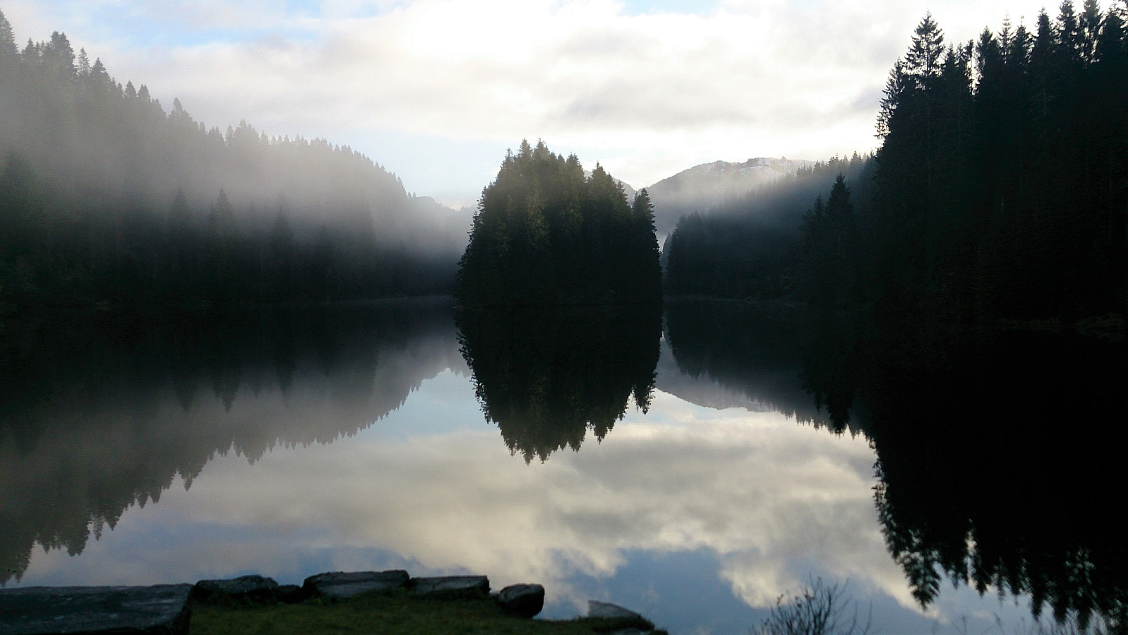
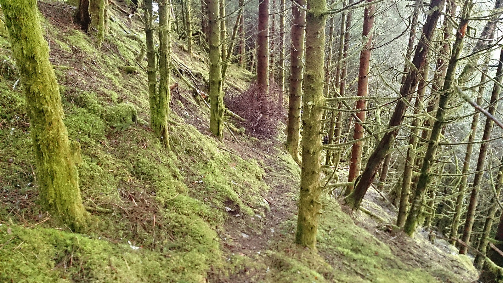
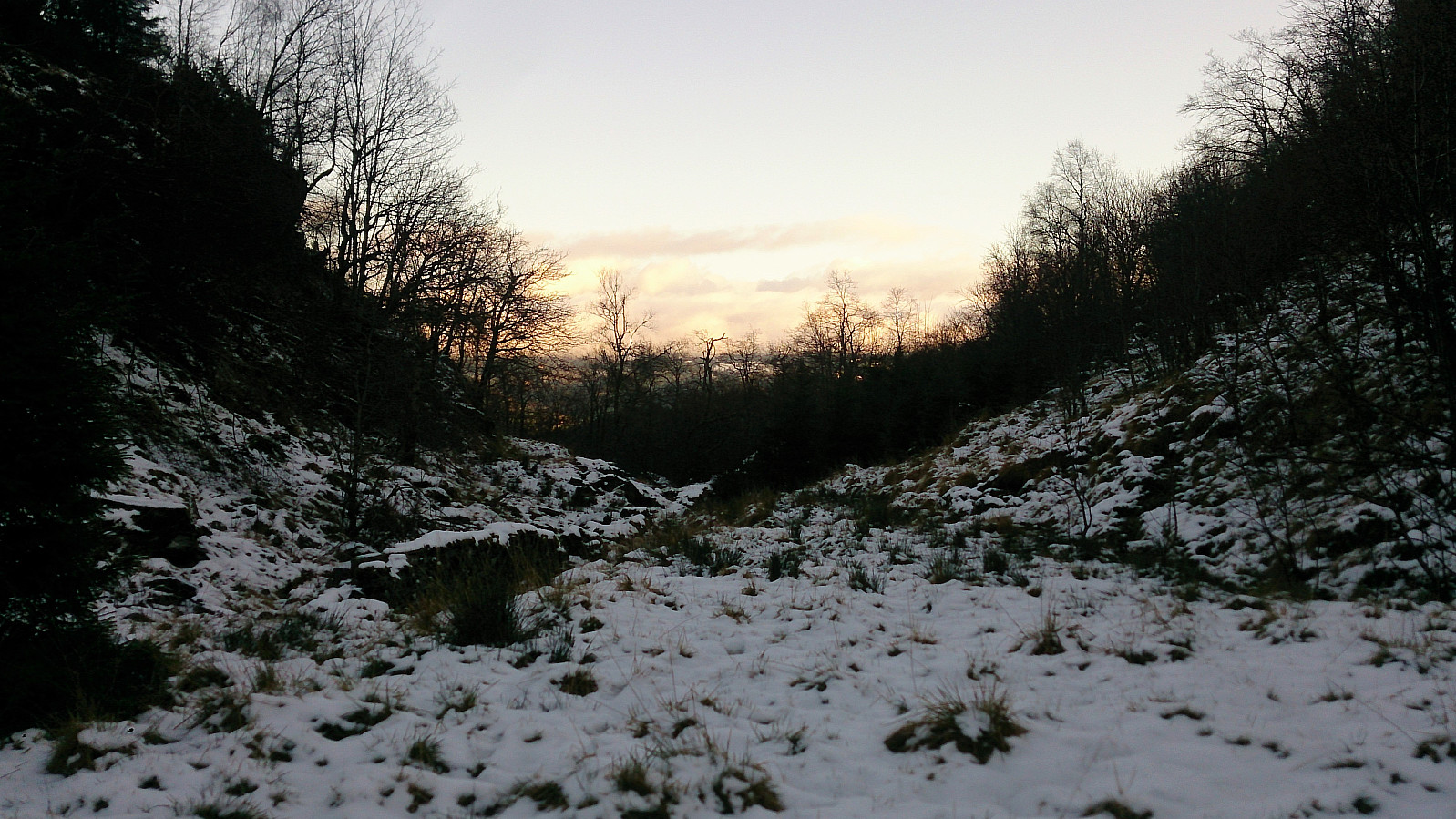
So that was the plan. In reality it turned out a bit different. But it started out according to plan, with the bus and the ferry to Valestrand. The dense fog was unexpected though, but thankfully it cleared as soon as I arrived at Valestrand. At the top of Smålandsskaret was where the trouble started. Initially I continued across the top of the valley, but quickly realized that the trail turned southeast towards Hauge, i.e. in the opposite direction of where I wanted to go. I therefore returned to the trail towards Burkelandsfjellet and started looking for the northwest trail indicated on the map.
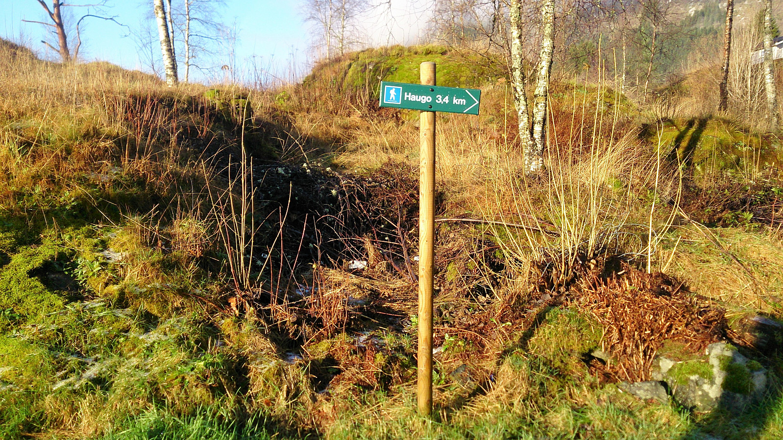
Missing trail number 1...
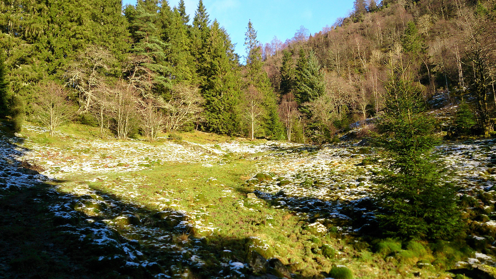
However, there was no trail to be found. I decided to head in the direction of where the trail ought to be anyway, hoping that it would later appear. But it soon became clear that the trail did not exist. I now had two options, either continue in the same direction (hoping that at least the tractor road the trail should connect with did exist), or turn north and head directly for Raknesvegen. At this point I was fed up with the steep terrain and the unexpectedly slow progress, so I chose the latter, hoping it would quickly take me to the road and thus closer to Orratuva.
This was perhaps a hasty decision though, as I had ignored to properly check the map, thus not noticing that I had to cross over Svena Høgheia, which required a bit of light climbing, and most likely slowed me down even more than if I had continued northwest towards the tractor road. However, I finally made it to Raknesvegen, which I then followed northwest to Børtveit, where I started looking for the indicated trail towards Orratuva.
Missing trail number 2 (and 1)...
But again the trail could not be found! I also started to run out of time with regards to making it back to the ferry before dark, especially given that my planned shortcut across Smålandsskaret had not turned out as efficient as I had hoped. I therefore decided to give up on Orratuva and rather start my return to Valestrand.
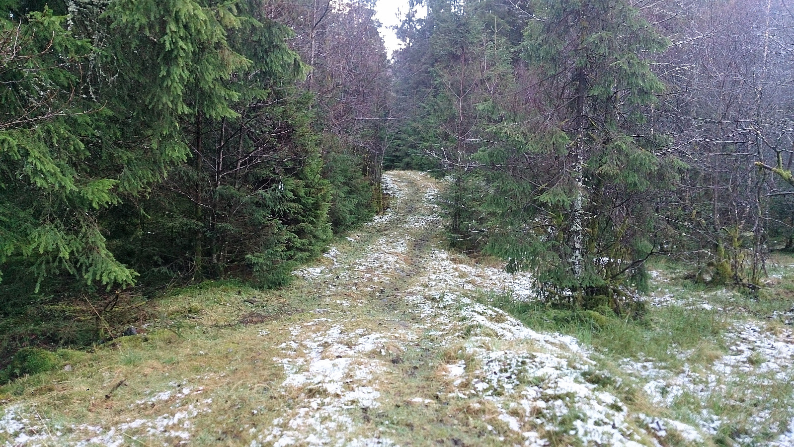
My first plan was to walk along the road via Hjellevik, but I quickly figured out that this would take too long, plus that the pavement was quite slippery with ice. I therefore decided to check if at least the tractor road part of my initial route existed (secretly hoping that it would connect to the trail I had been unable to find). The tractor road did exist, and I made quite good progress up the hill. Until the road ended, and the trail again could not be found...
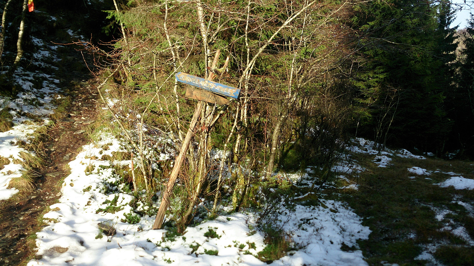
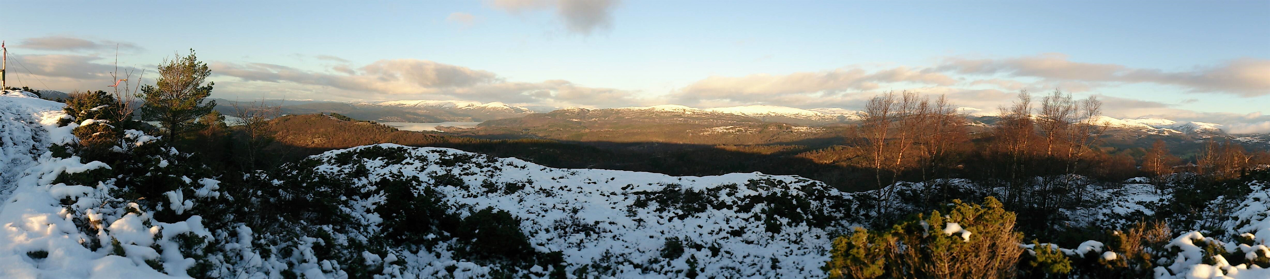
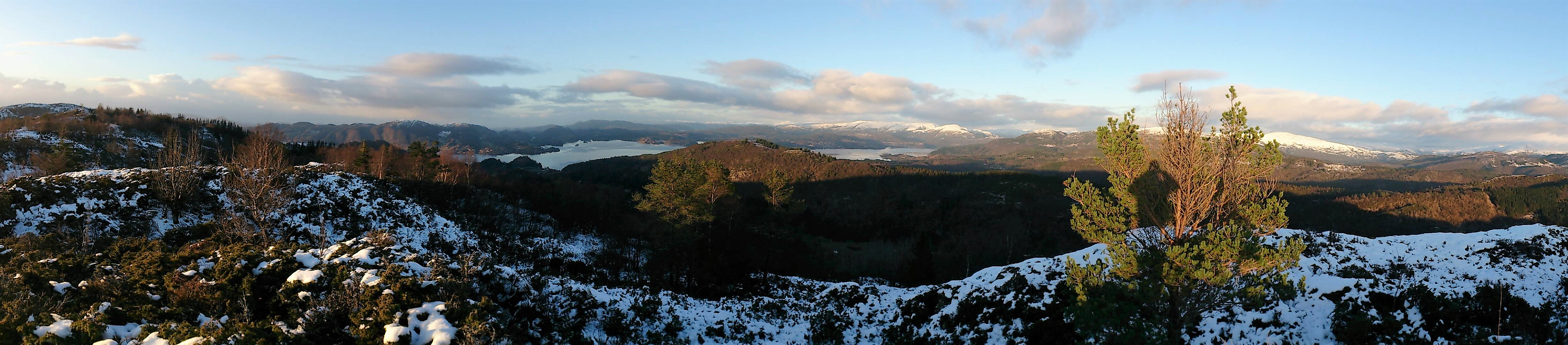
Burkelandsfjellet
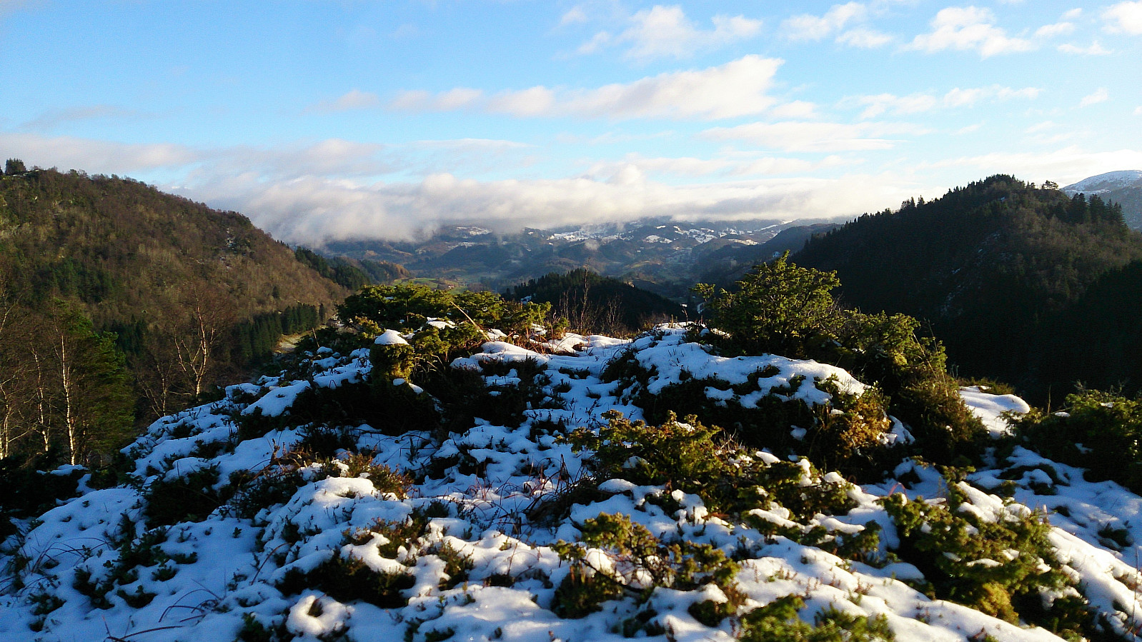
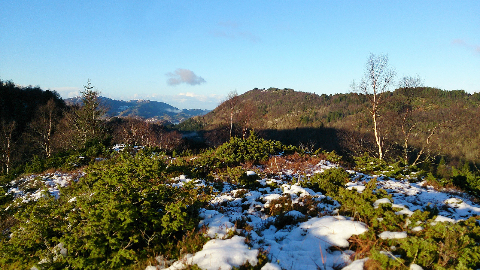
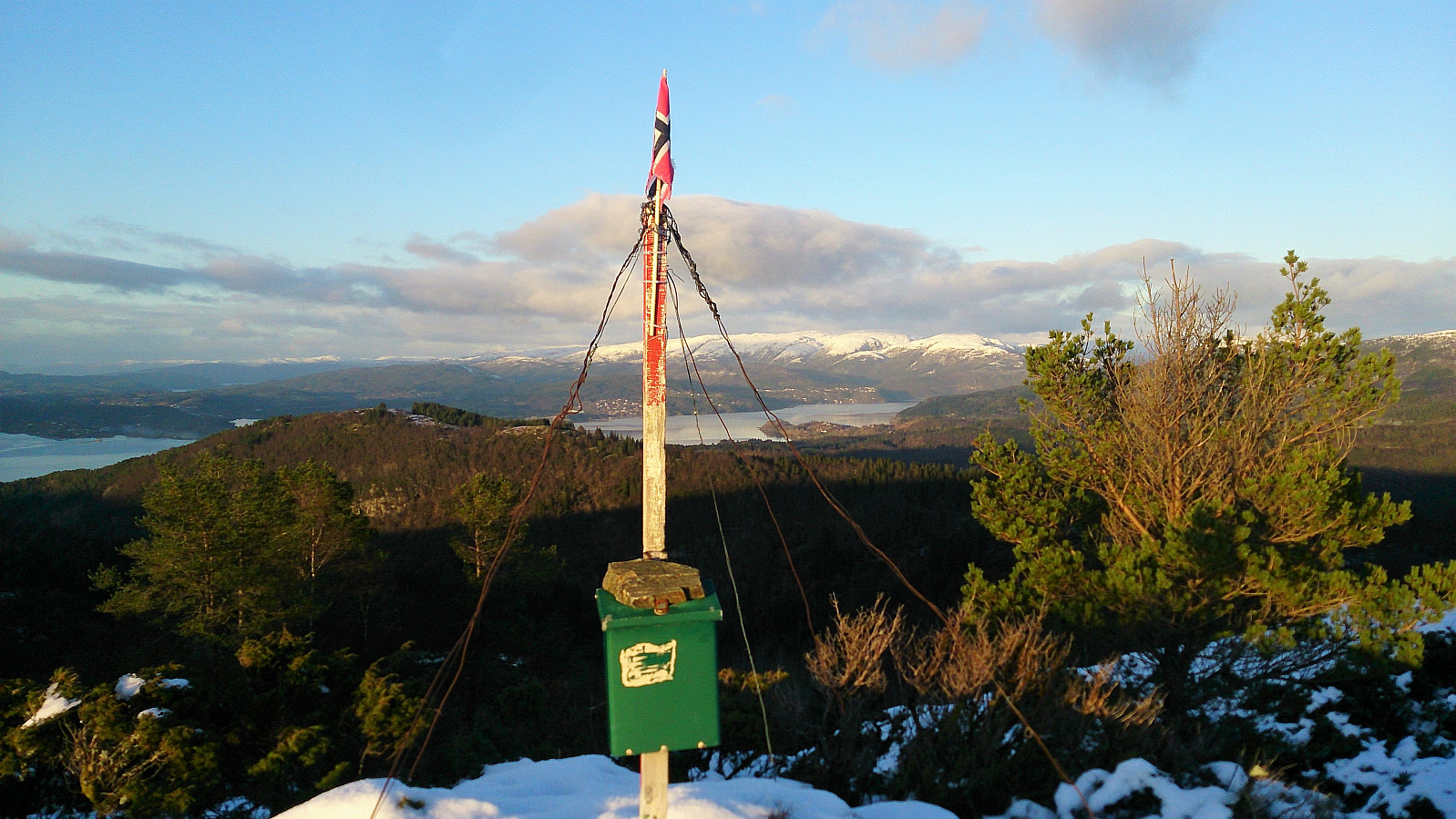
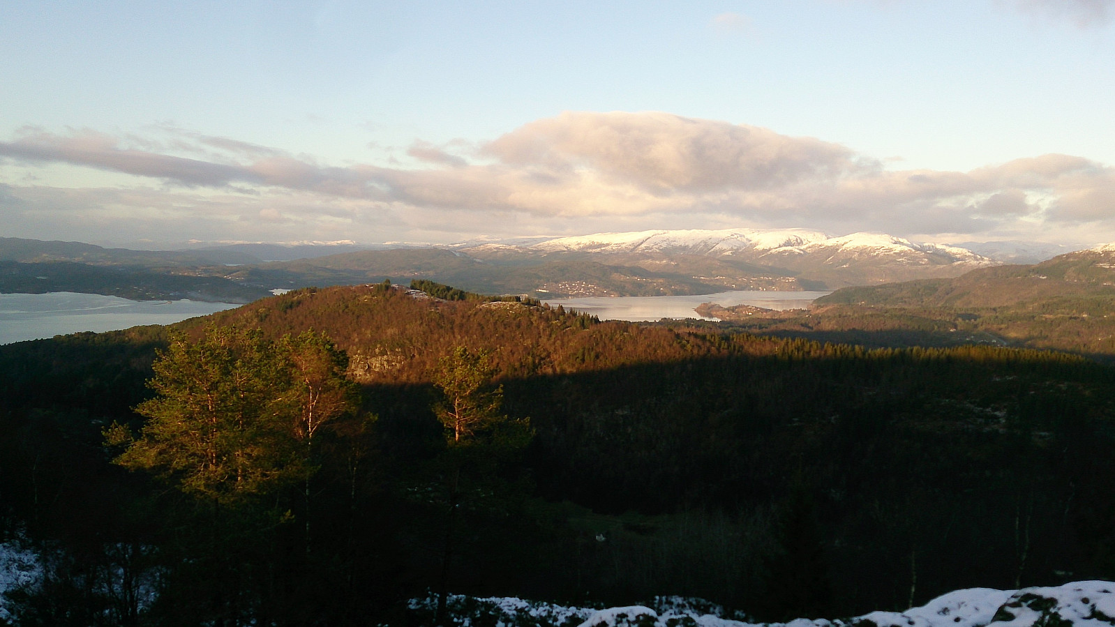
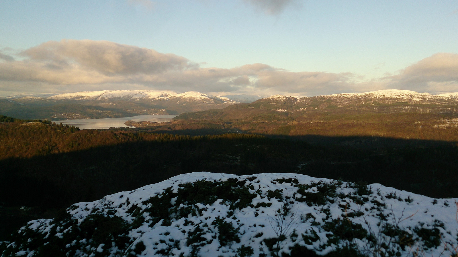
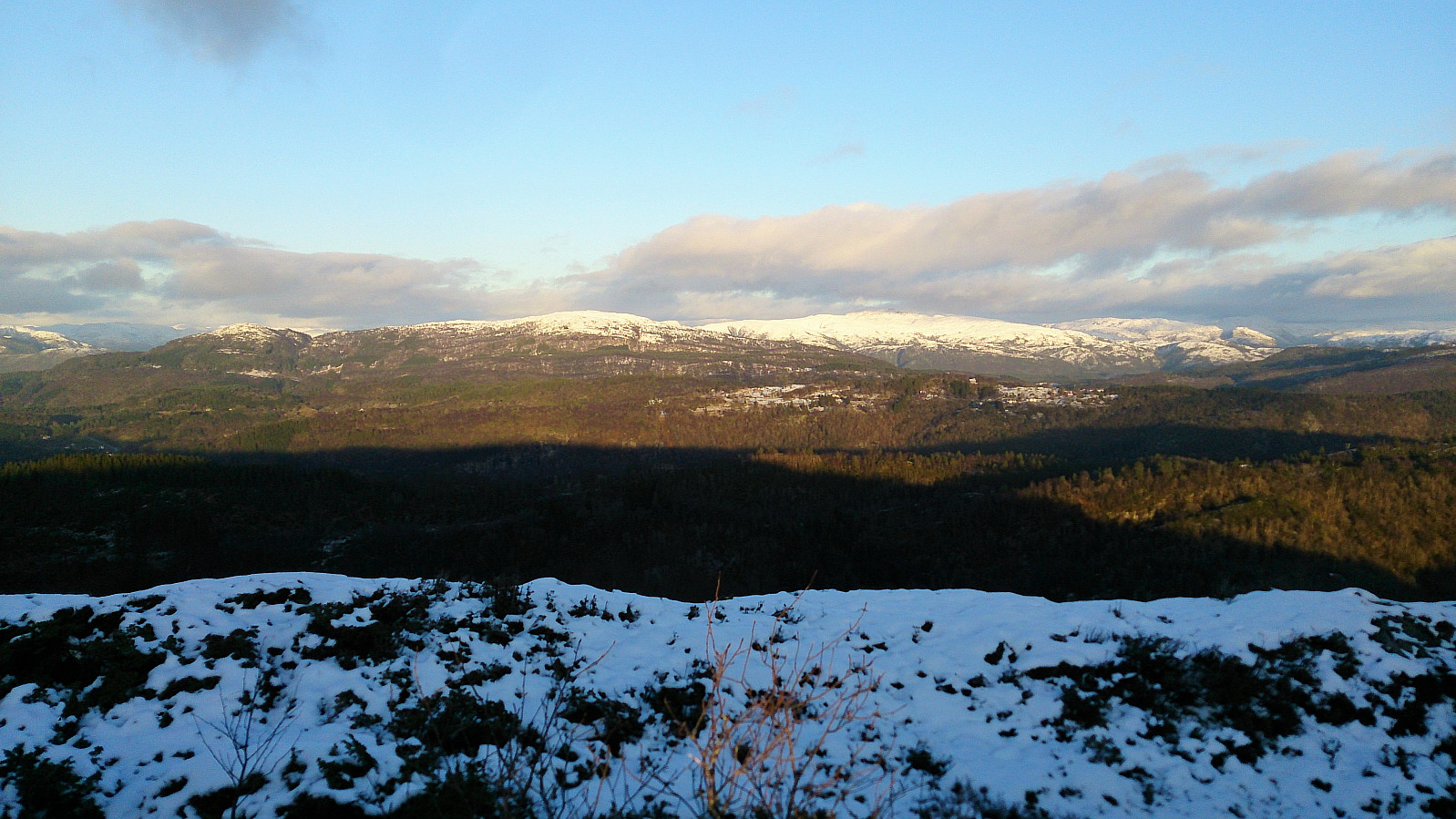
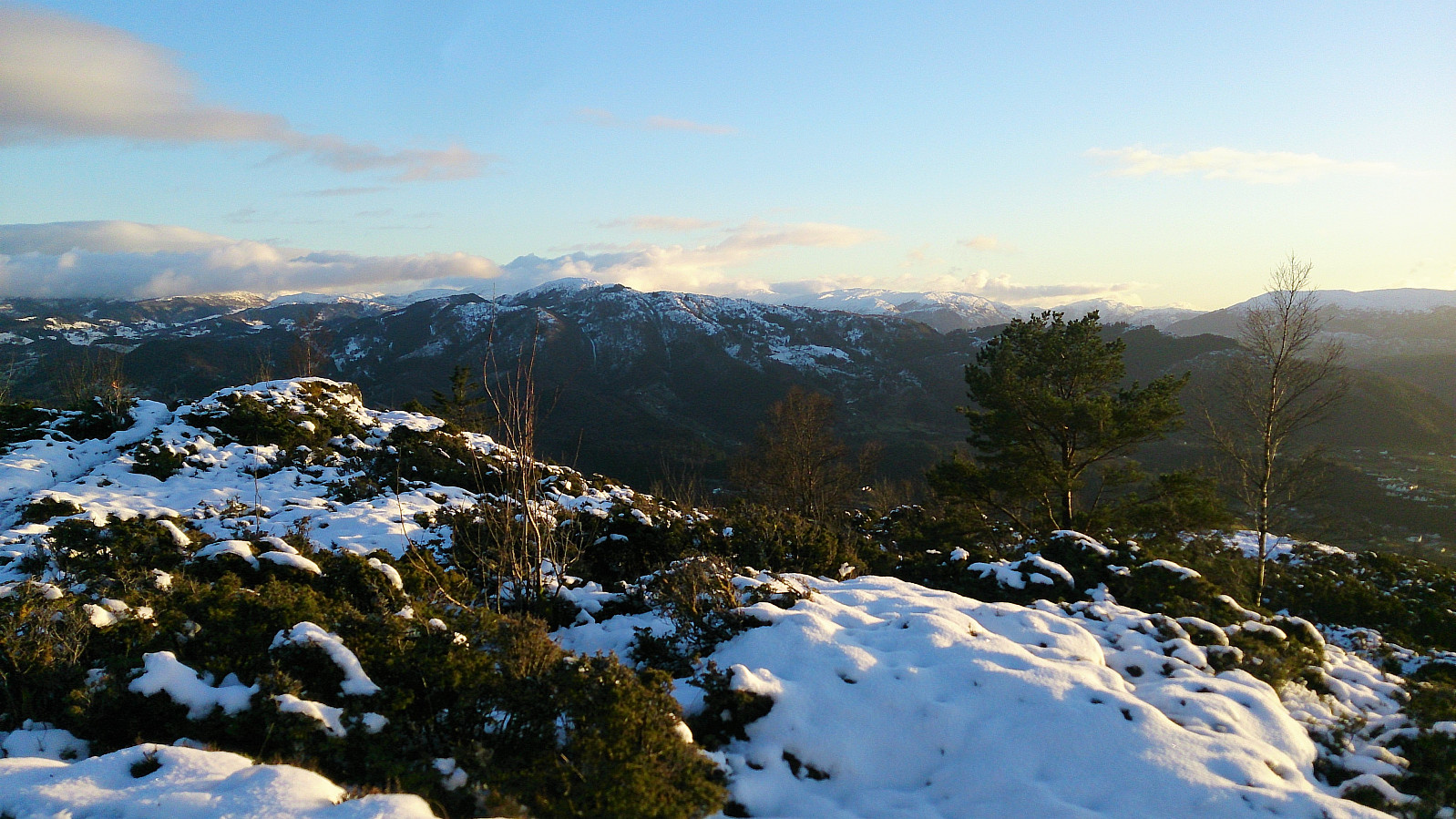
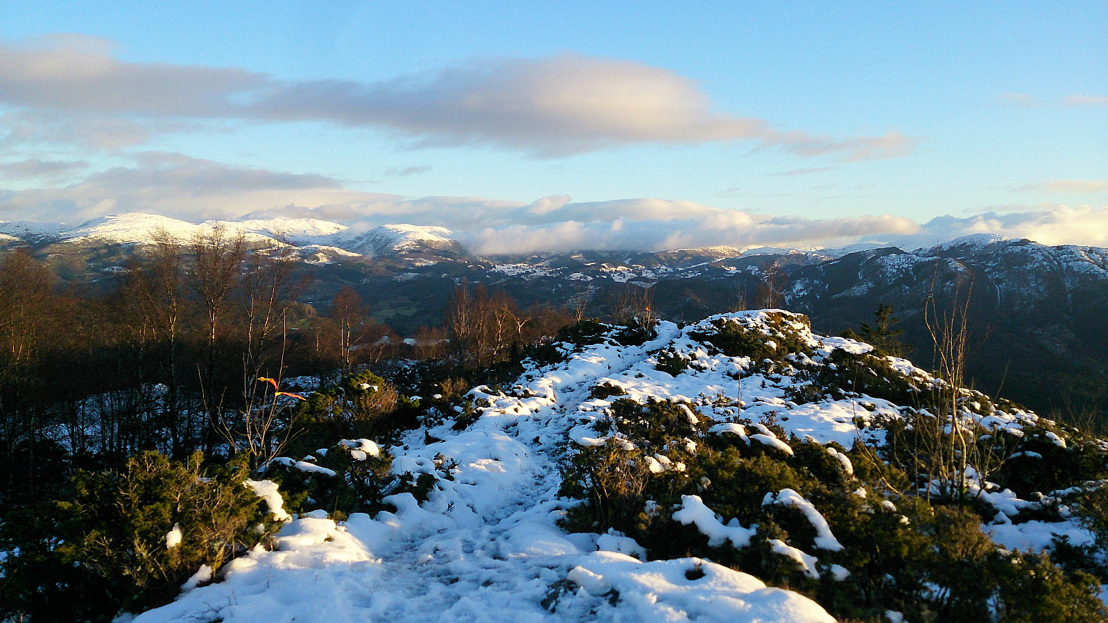
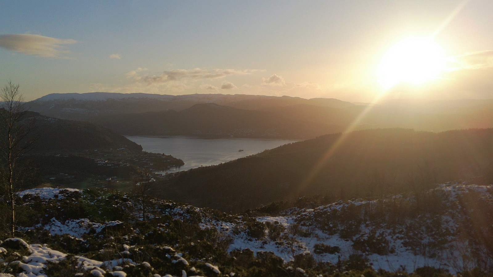
I continued southeast towards Smålandsskaret for a while anyway, until finally giving up, and instead heading south towards the trail to Burkelandsfjellet, to ensure that I would at least visit one proper summit on this hike. Getting to the trail included some steep sections, but nothing difficult and no climbing was required. The views from Burkelandsfjellet did not disappoint, clearly the highlight of the hike, much better than at my last visit in the fog! From Burkelandsfjellet I followed the standard trail down to Smålandsskaret and Småland, before walking along the road to Valestrand and the ferry, and bus, back to Bergen.
Conclusion
In case it is still not clear, this is not a hike to be recommended. Would not have been so bad if the trails indicated on the map actually existed though, and the views from Burkelandsfjellet more or less saved the day. When writing this report I came across a similar report from elbow, indicating that I had actually been pretty close to a marked trail to Orratuva after all: Orratuva og Burkelandsfjellet. Too bad that the cellphone reception was not good enough for me to figure this out when at Børtveit. So maybe I have to go back and try again, but probably along trails that actually exist next time!
| Start date | 12.11.2017 12:13 (UTC+01:00) |
| End date | 12.11.2017 16:19 (UTC+01:00) |
| Total Time | 4h 05min |
| Moving Time | 3h 57min |
| Stopped Time | 0h 8min |
| Overall Average | 3.3km/h |
| Moving Average | 3.5km/h |
| Distance | 13.7km |
| Vertical meters | 762m |


User comments