
Toppenipa and Toppefjellet (30.08.2017)

Skrevet av hbar (Harald Barsnes)

| Startsted | Støbotn (76moh) |
|---|---|
| Sluttsted | Morvikveien (37moh) |
| Turtype | Fjelltur |
| Turlengde | 1t 36min |
| Distanse | 5,4km |
| Høydemeter | 312m |
| GPS |
|
| Bestigninger | Toppefjellet (253moh) | 30.08.2017 |
|---|---|---|
| Toppenipa (232moh) | 30.08.2017 |
Toppenipa and Toppefjellet
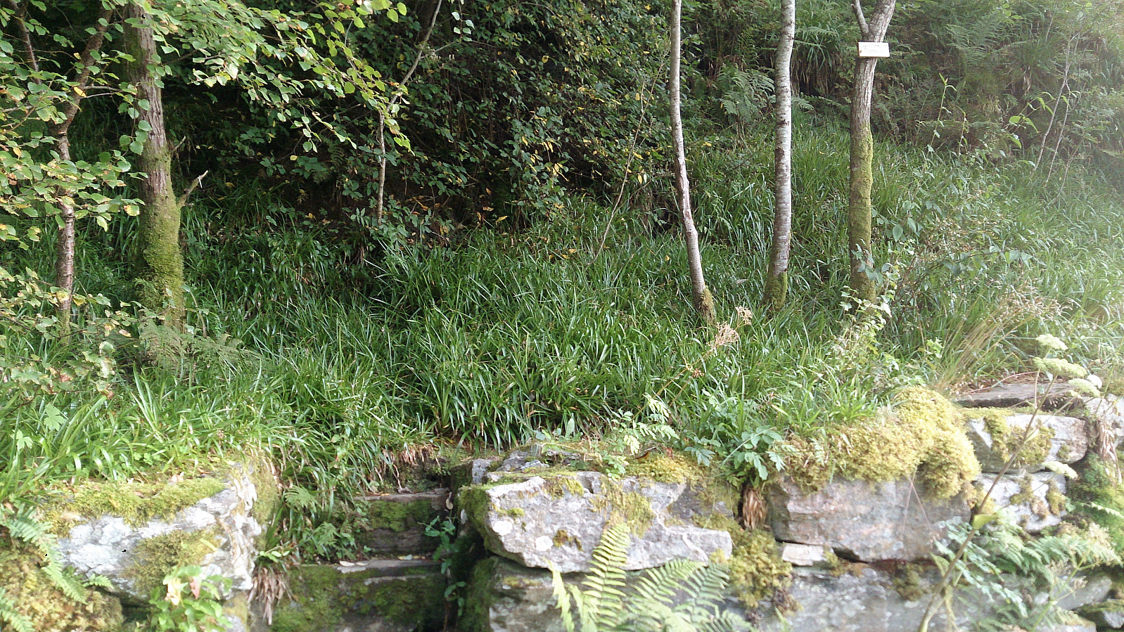
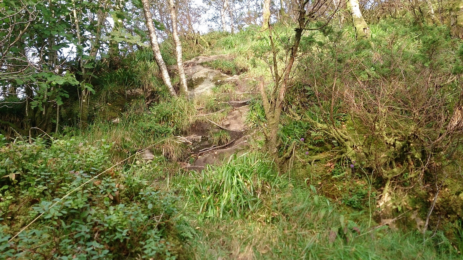
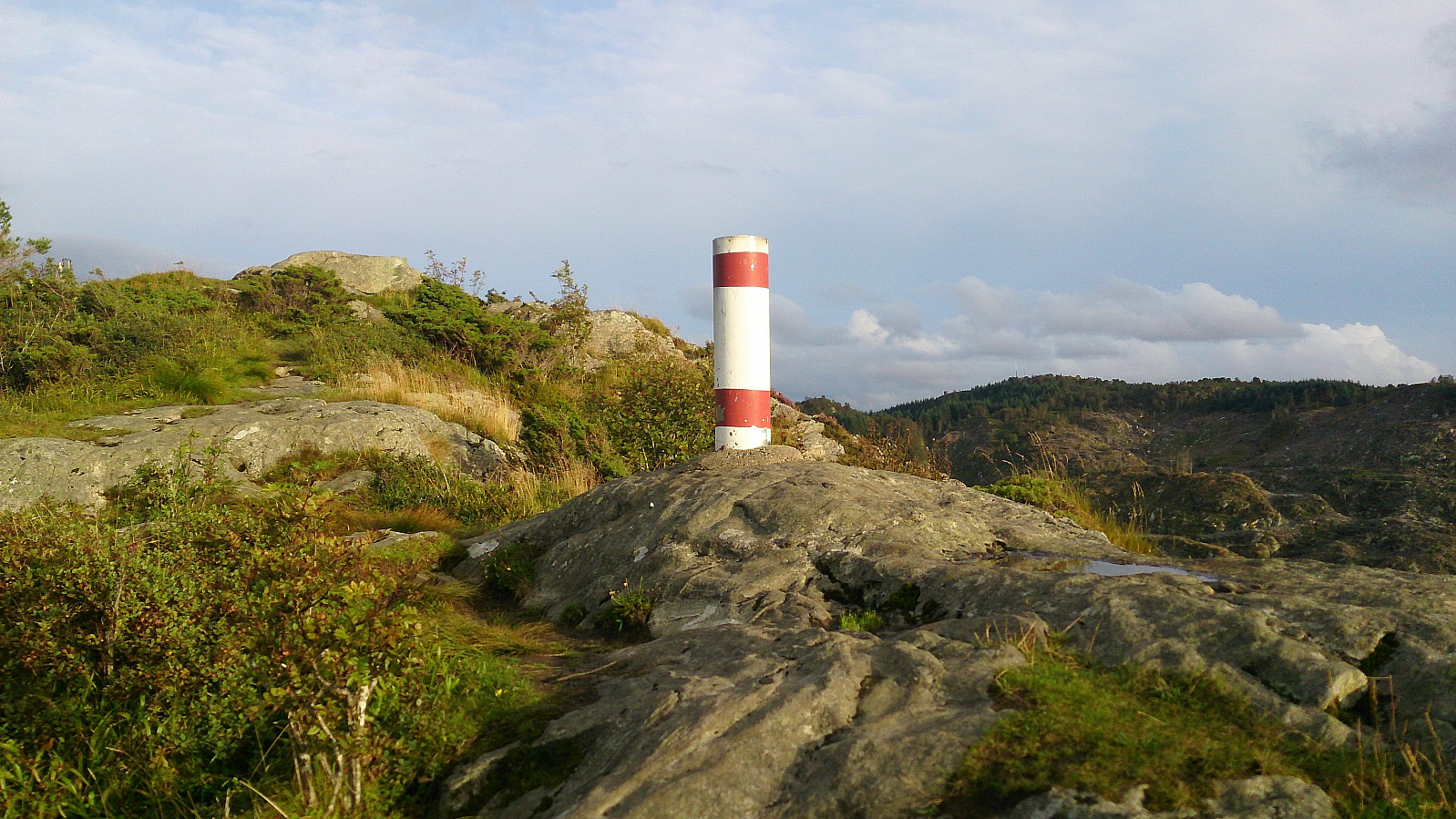

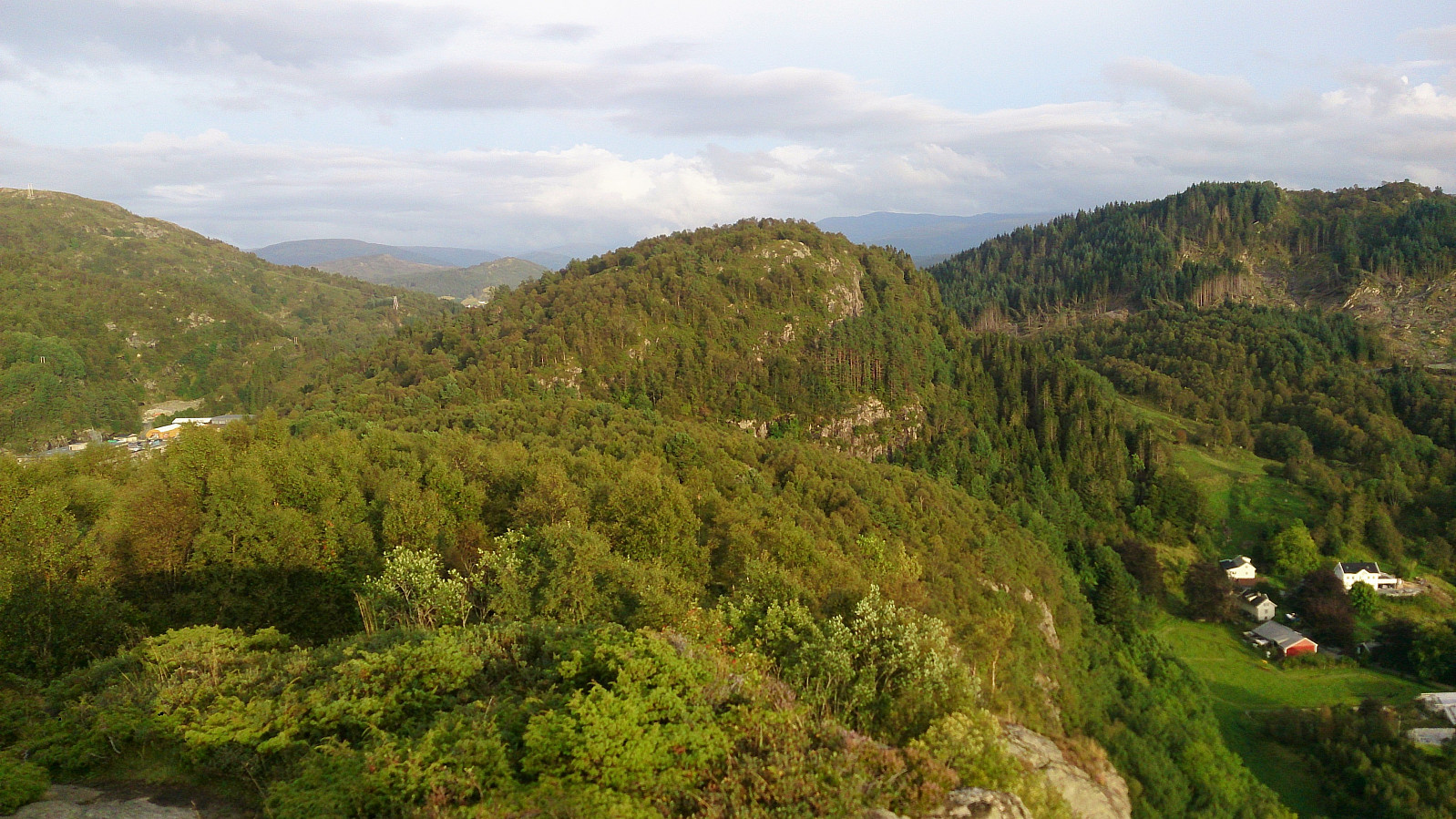
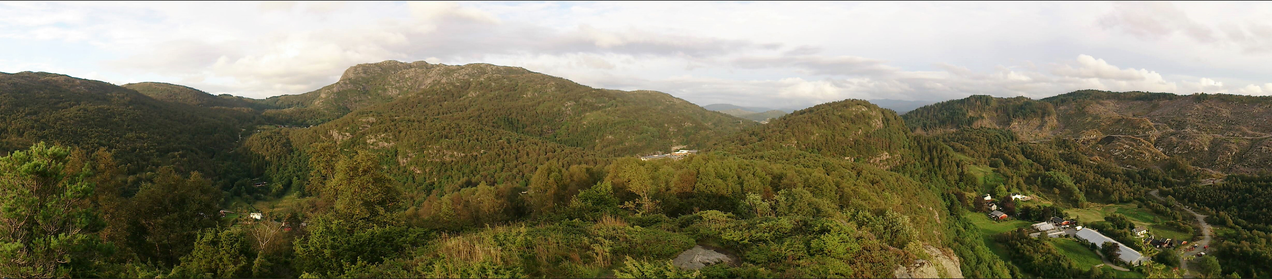
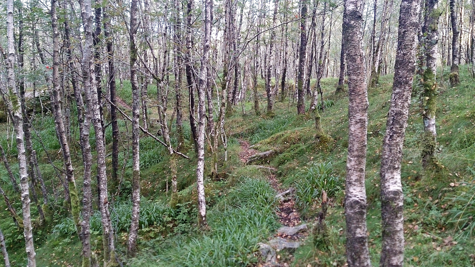
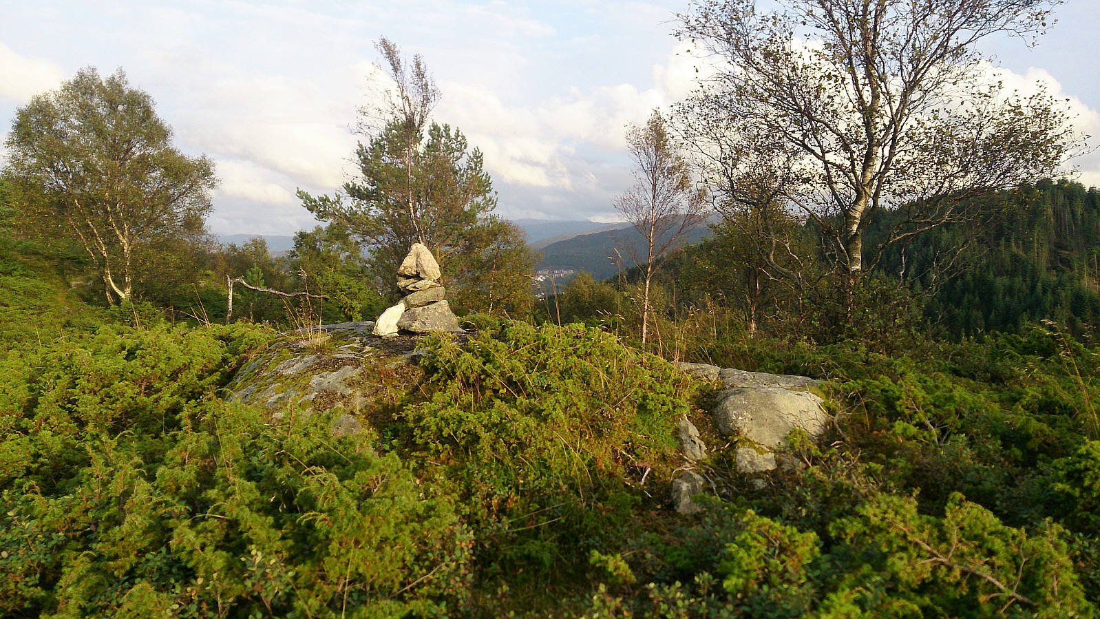
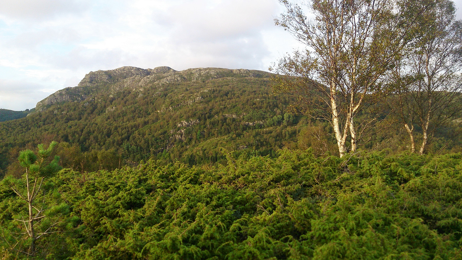
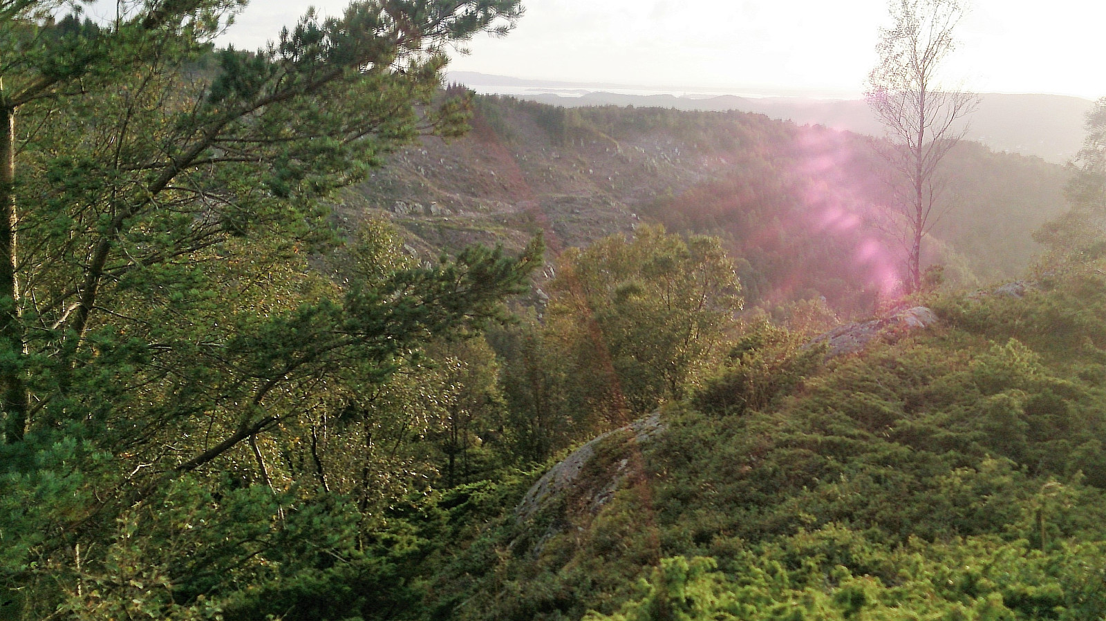
Started by taking the bus to Støbotn and from there following Toppevegen up to the marked trailhead. I followed the relatively steep trail to the summit of Toppenipa, before continuing towards Toppefjellet. Nice views as always from both summits. Did not meet a single person though, which may explain my next encounter.
As I was taking pictures at the summit of Toppefjellet I suddenly heard a large animal running in the direction of Toppenipa, starting from just south of the summit. Initially I could not see the animal, but as it ran northwest it made a short stop in a small clearing, long enough for me to confirm my suspicion that it was a deer and to take a quick picture, before it again disappeared into the trees.
After this unexpected excitement, I turned back and followed the same trail back towards Toppenipa. But instead of going across Toppenipa I instead followed another trail southeast, soon arriving at "Toppe Gartneri". From there I followed Toppevegen and Sollsmittet back to Slettestølvegen. 20 minutes until the next bus, so I concluded the hike by walking south along Morkvikveien until taking the bus from Lokketovegen back towards the city center.

| Starttidspunkt | 30.08.2017 19:00 (UTC+01:00 ST) |
| Sluttidspunkt | 30.08.2017 20:36 (UTC+01:00 ST) |
| Totaltid | 1t 36min |
| Bevegelsestid | 1t 33min |
| Pausetid | 0t 2min |
| Snittfart totalt | 3,4km/t |
| Snittfart bevegelsestid | 3,5km/t |
| Distanse | 5,4km |
| Høydemeter | 311m |


Kommentarer