
Melkeplassen to Holen (20.08.2017)

Written by hbar (Harald Barsnes)

| Start point | Melkeplassen (133m) |
|---|---|
| Endpoint | Holen (42m) |
| Characteristic | Hillwalk |
| Duration | 1h 40min |
| Distance | 4.4km |
| Vertical meters | 301m |
| GPS |
|
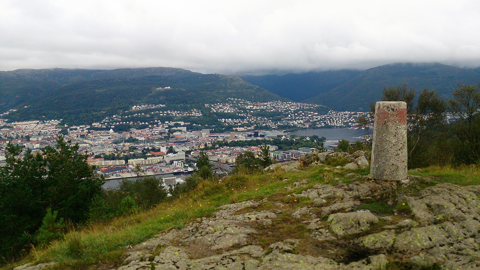
| Ascents | Damsgårdsfjellet (344m) | 20.08.2017 |
|---|---|---|
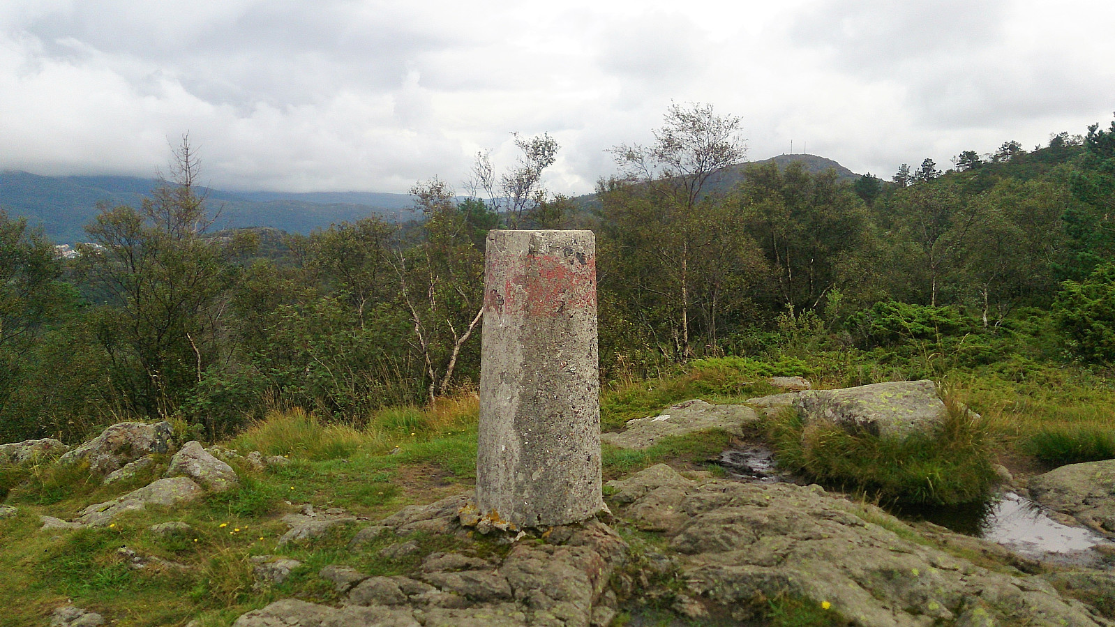
| Holafjellet (286m) | 20.08.2017 | |
| Olsokfjellet (354m) | 20.08.2017 | |
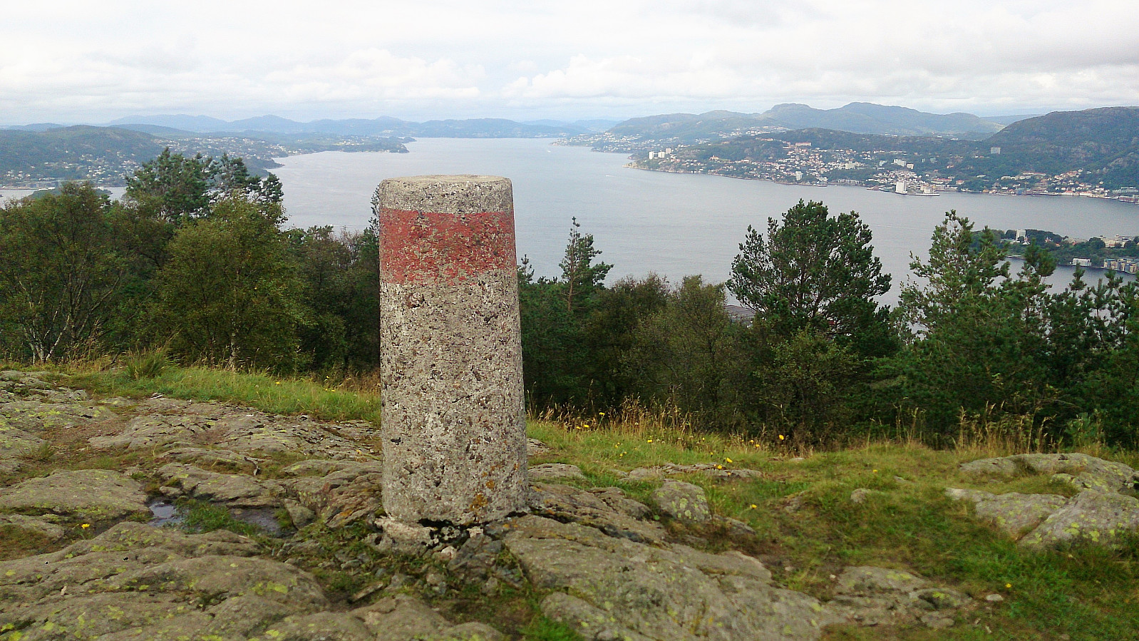
| Visits of other PBEs | Trigpunkt nord på Damsgårdfjellet (315m) | 20.08.2017 |
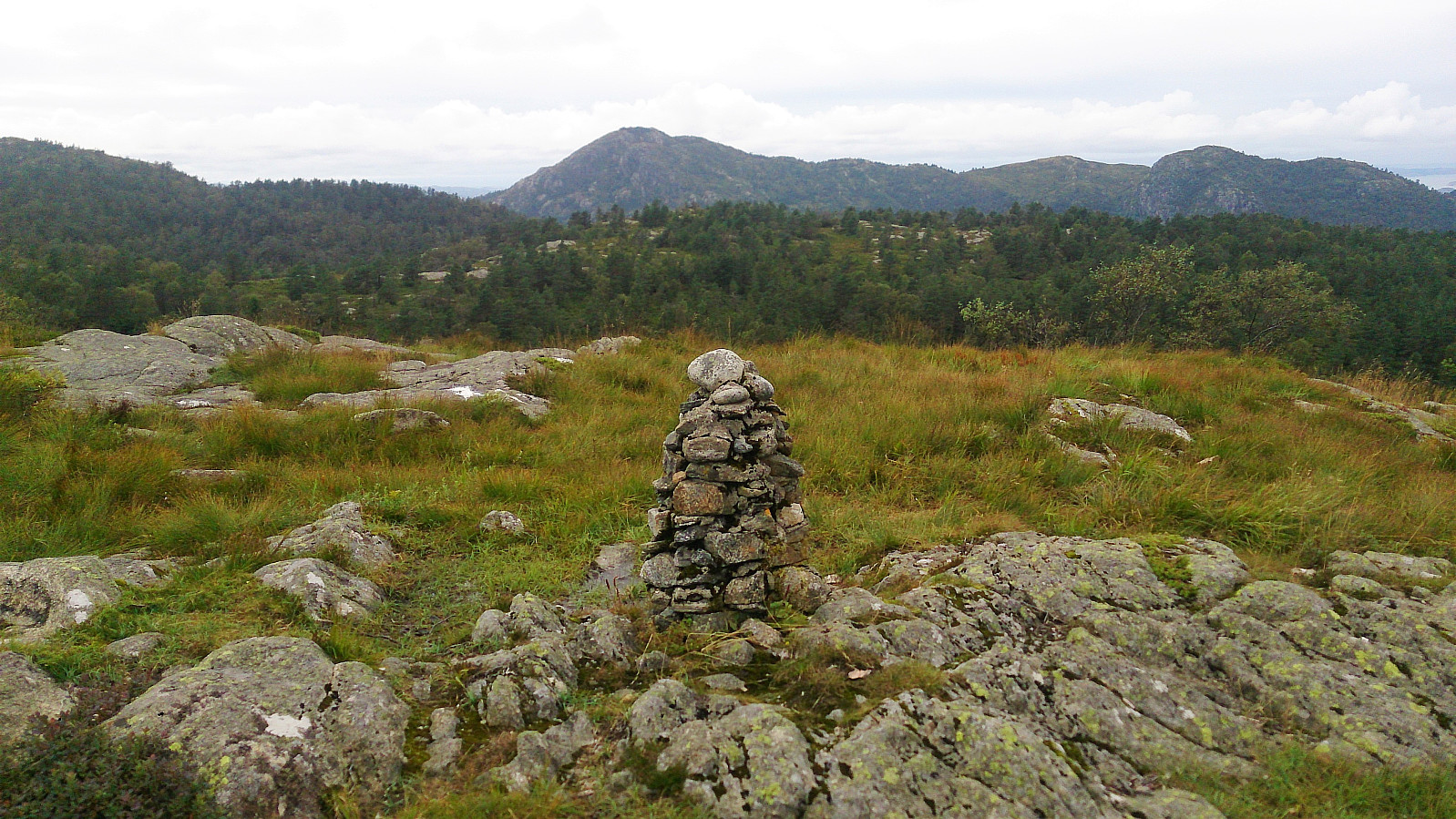
| Holefjellet utsikt vest (303m) | 20.08.2017 | |
| Rundetoppen (229m) | 20.08.2017 |
Melkeplassen to Holen
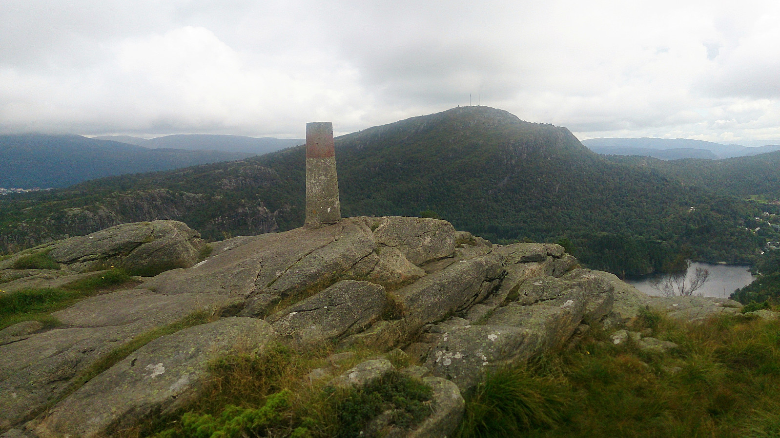
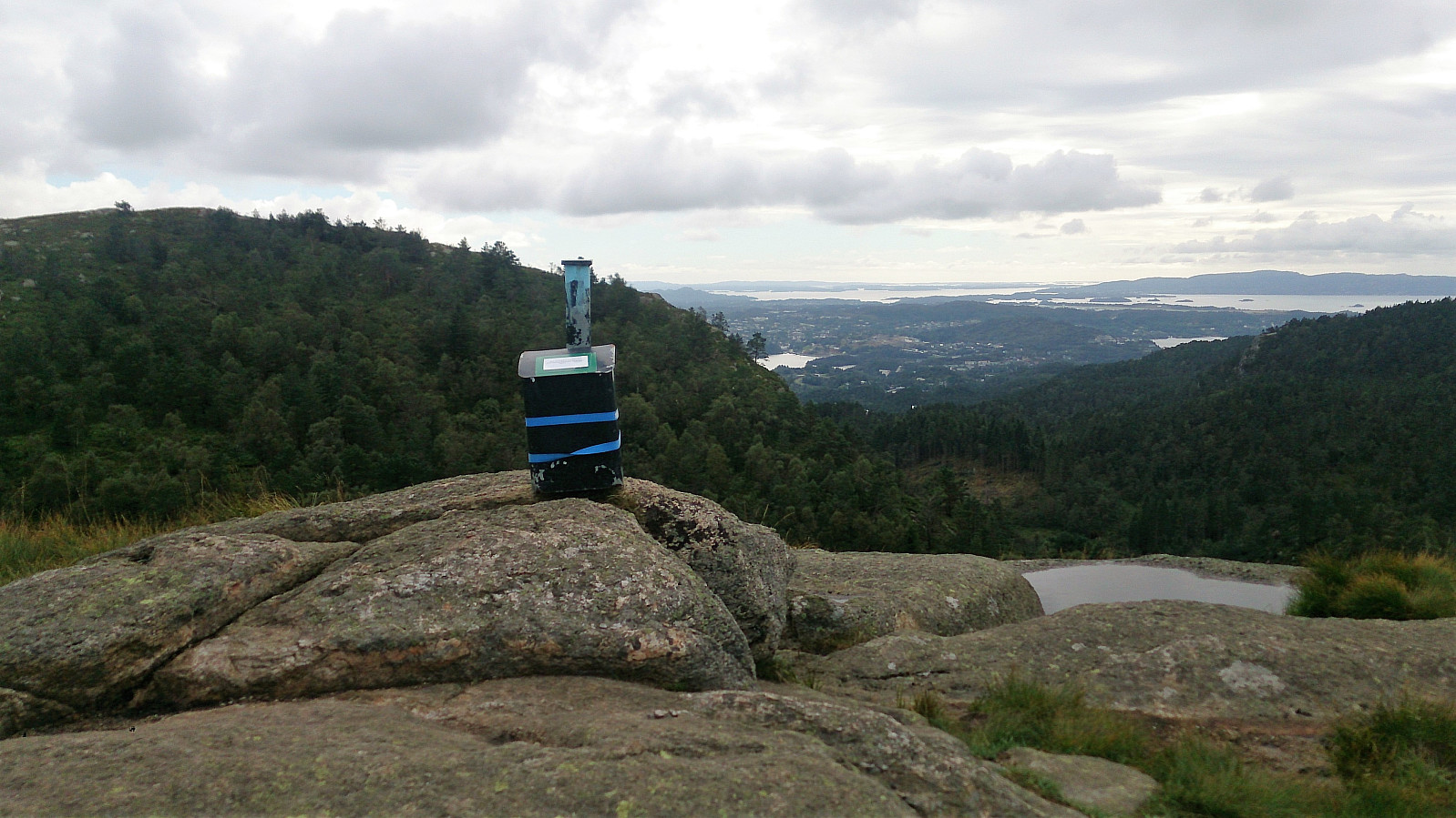
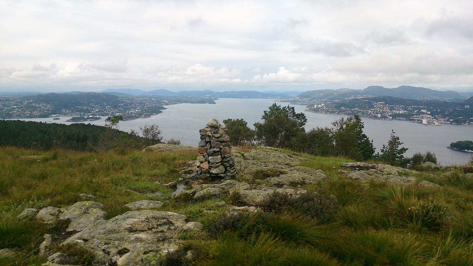
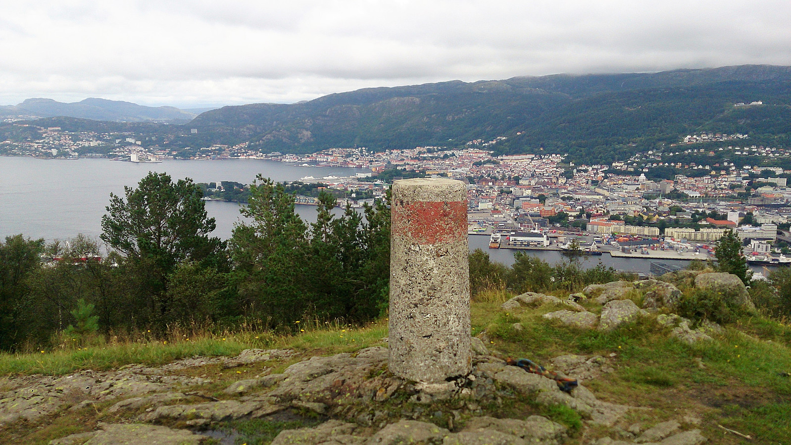
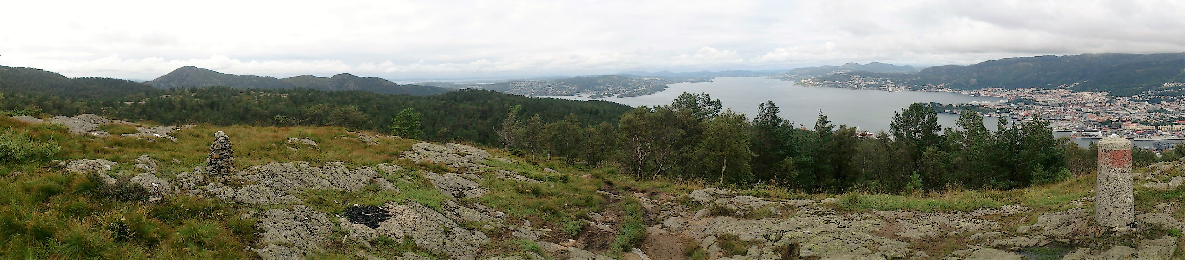
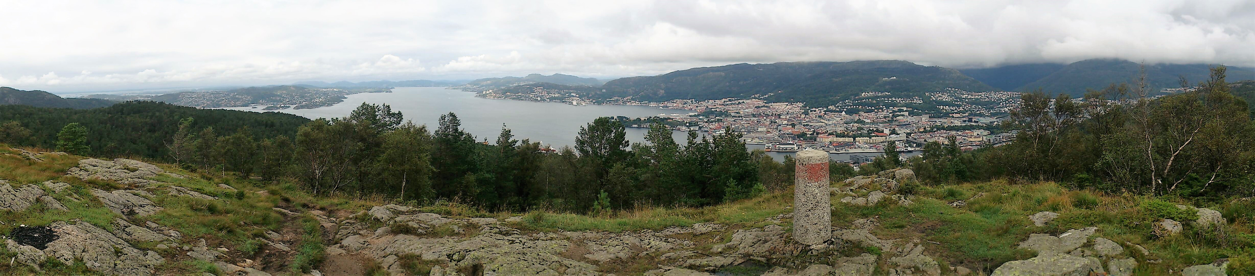
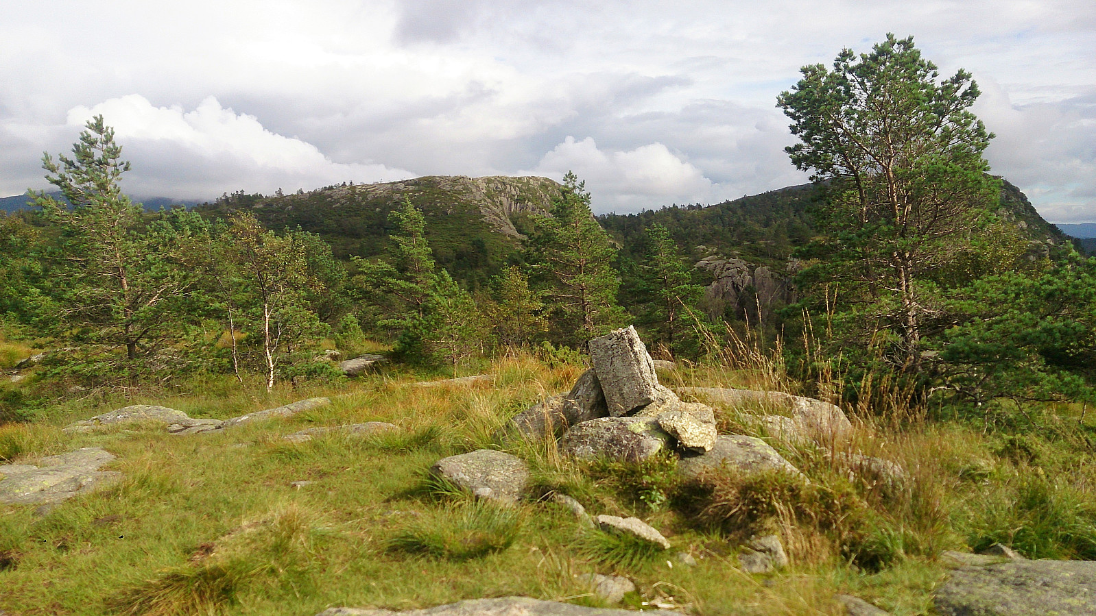
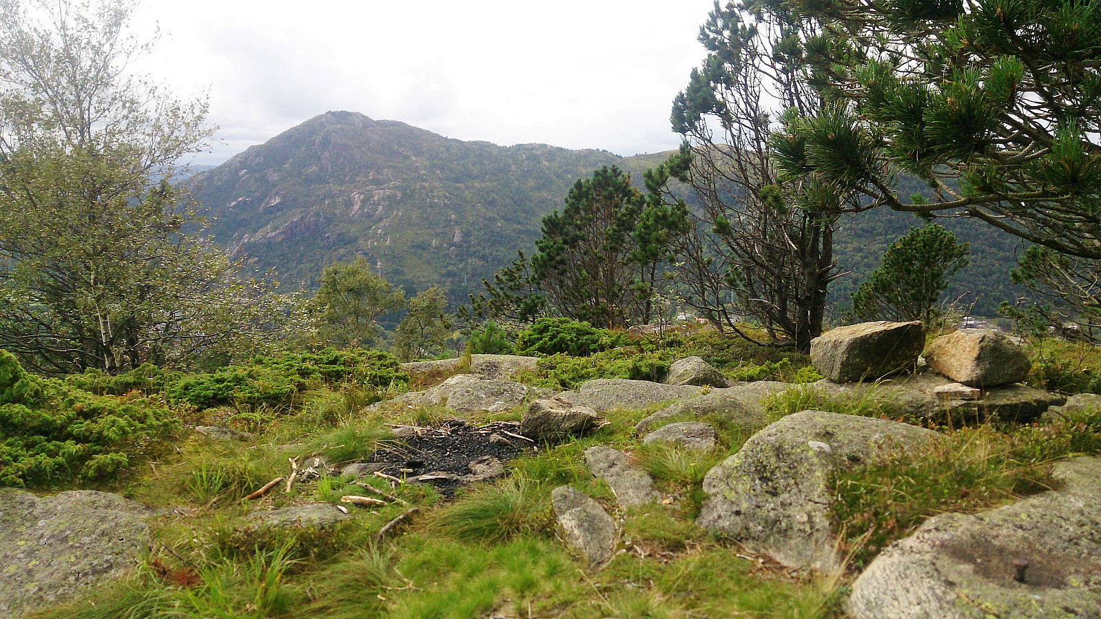
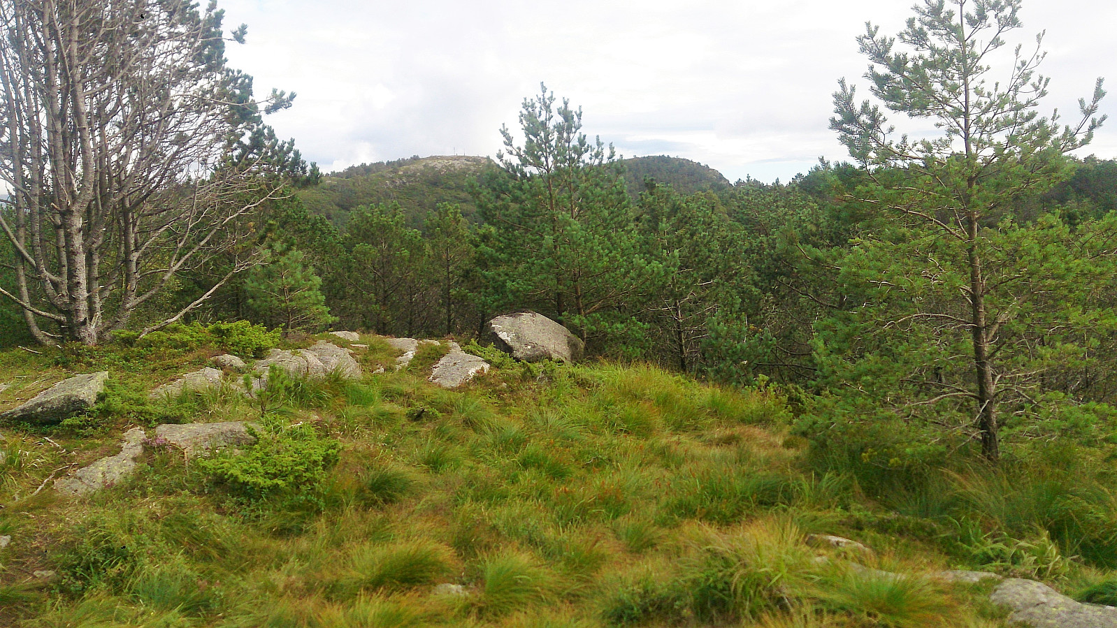
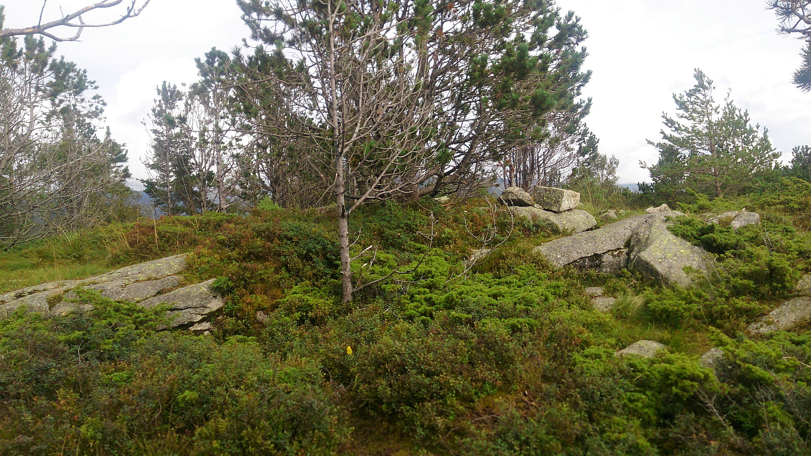
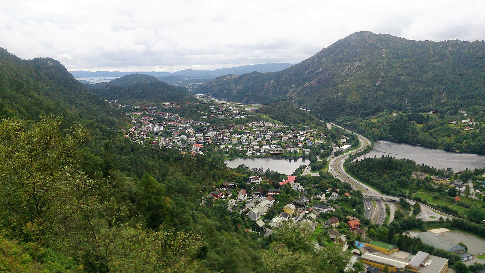
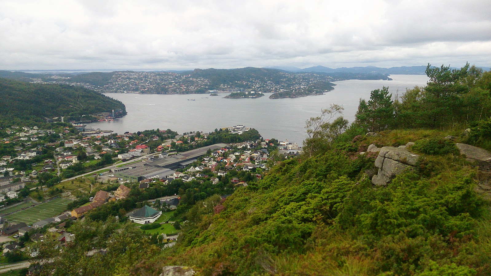
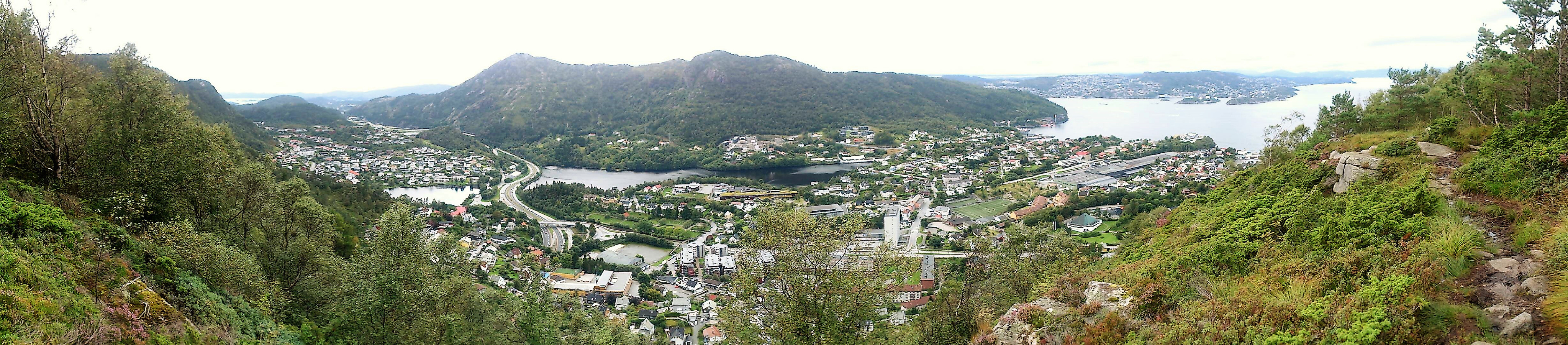
Started from Melkeplassen and from there followed the standard trail towards Damsgårdsfjellet, with a quick stop at Olsokfjellet on the way. From the summit I continued north to the trig marker at Damsgårdsfjellet, then west to Holafjellet, before ending the hike by following the trail north to Holen for the bus back to the city center. Nice views from Olsokfjellet and Damsgårdsfjellet. The views from the trig marker at Damsgårdsfjellet were also worth a visit. Holafjellet was less interesting, with limited views from the summit, but the trail from Holafjellet down to Holen was an interesting alternative descent with nice views along the way.
| Start date | 20.08.2017 14:57 (UTC+01:00 DST) |
| End date | 20.08.2017 16:38 (UTC+01:00 DST) |
| Total Time | 1h 40min |
| Moving Time | 1h 36min |
| Stopped Time | 0h 4min |
| Overall Average | 2.6km/h |
| Moving Average | 2.8km/h |
| Distance | 4.4km |
| Vertical meters | 300m |


User comments