
England to Åberge (30.07.2017)

Written by hbar (Harald Barsnes)

| Start point | England (297m) |
|---|---|
| Endpoint | Åberge (233m) |
| Characteristic | Hillwalk |
| Duration | 4h 57min |
| Distance | 12.6km |
| Vertical meters | 898m |
| GPS |
|
| Ascents | Englandshovden (772m) | 30.07.2017 |
|---|---|---|
| Vetle Hovden (697m) | 30.07.2017 | |
| Kammen (764m) | 30.07.2017 | |
| Kjørkhovden (748m) | 30.07.2017 |
England to Åberge

Englandshovden
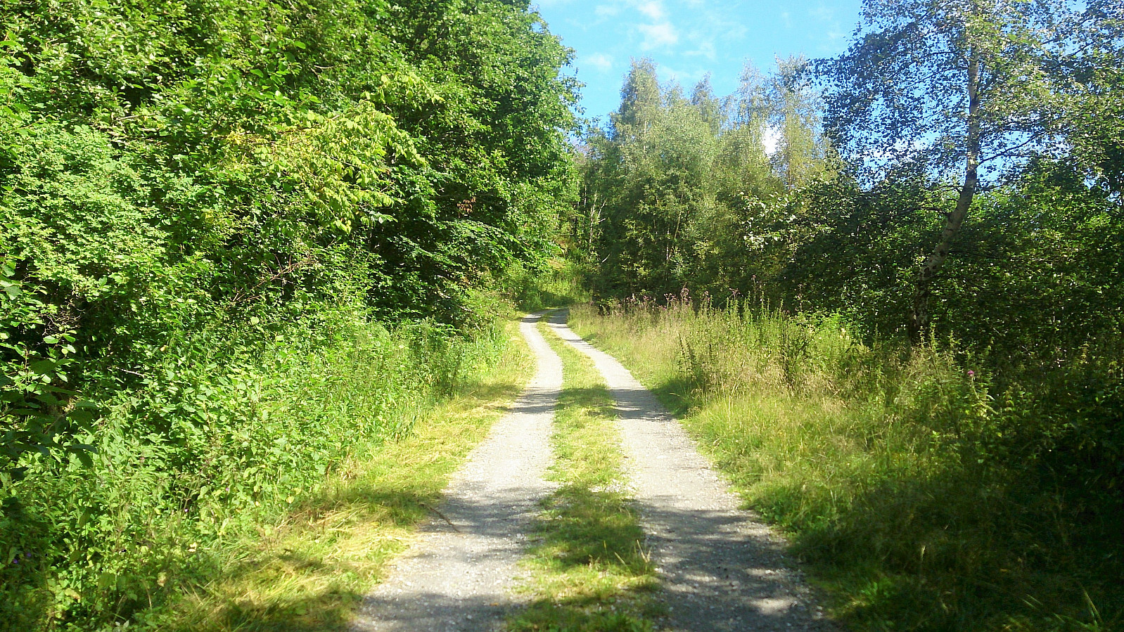
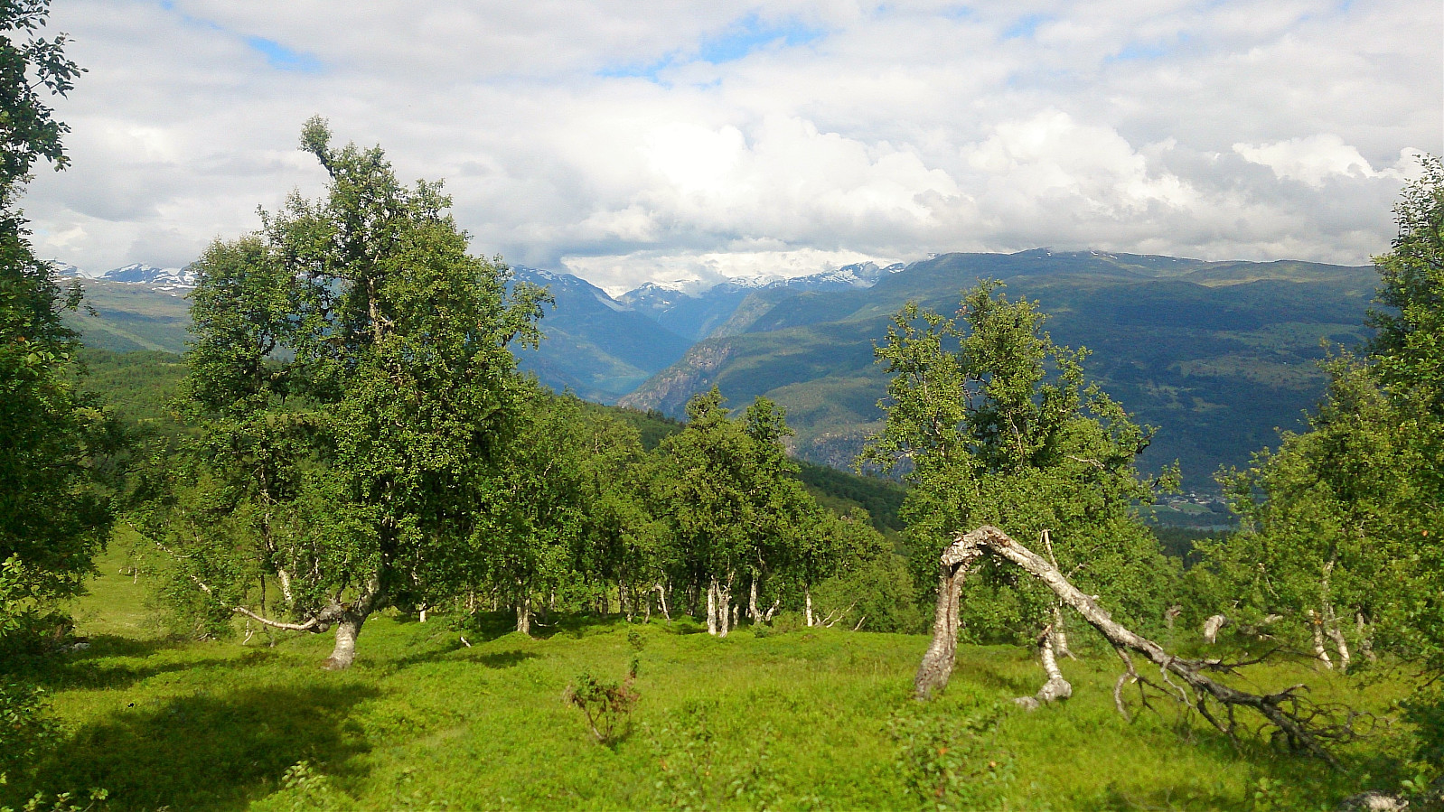
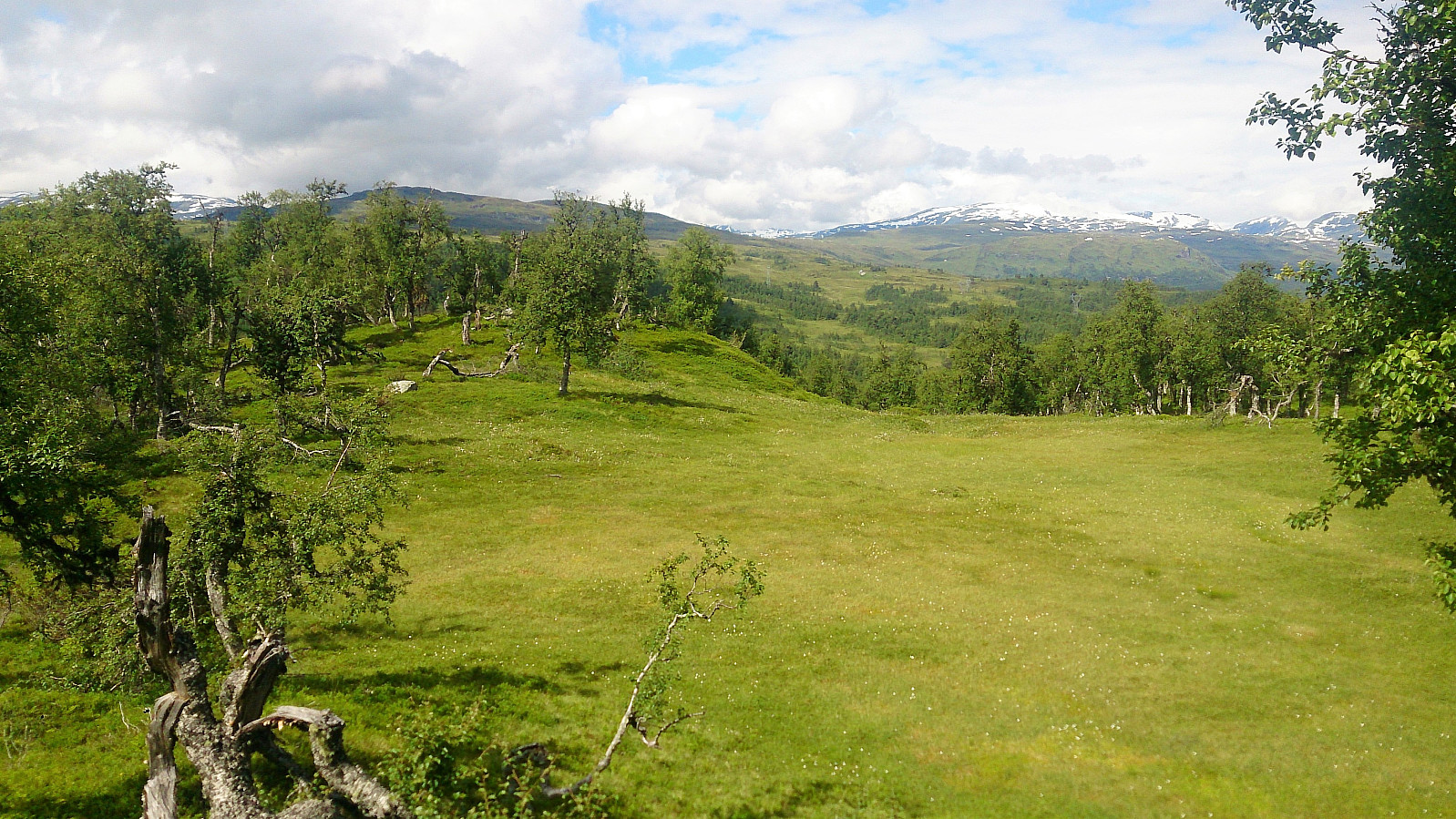
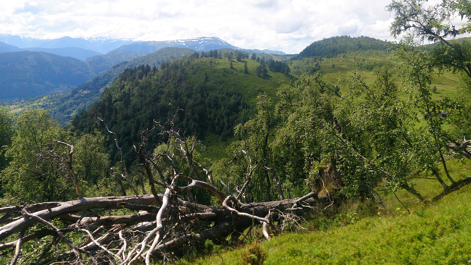
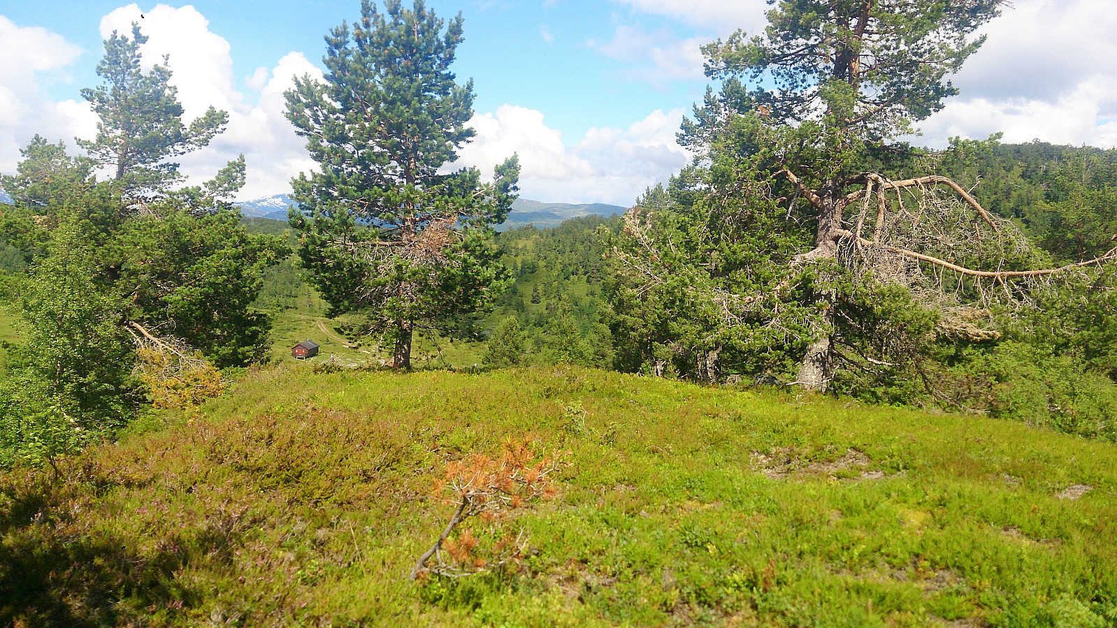
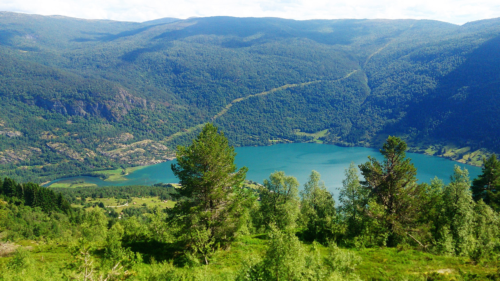
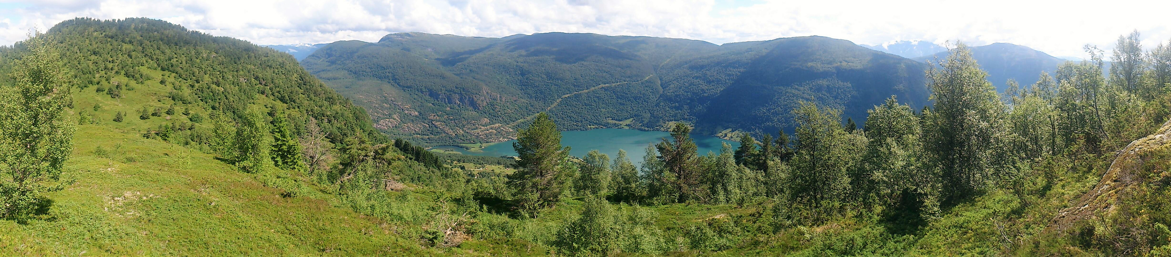
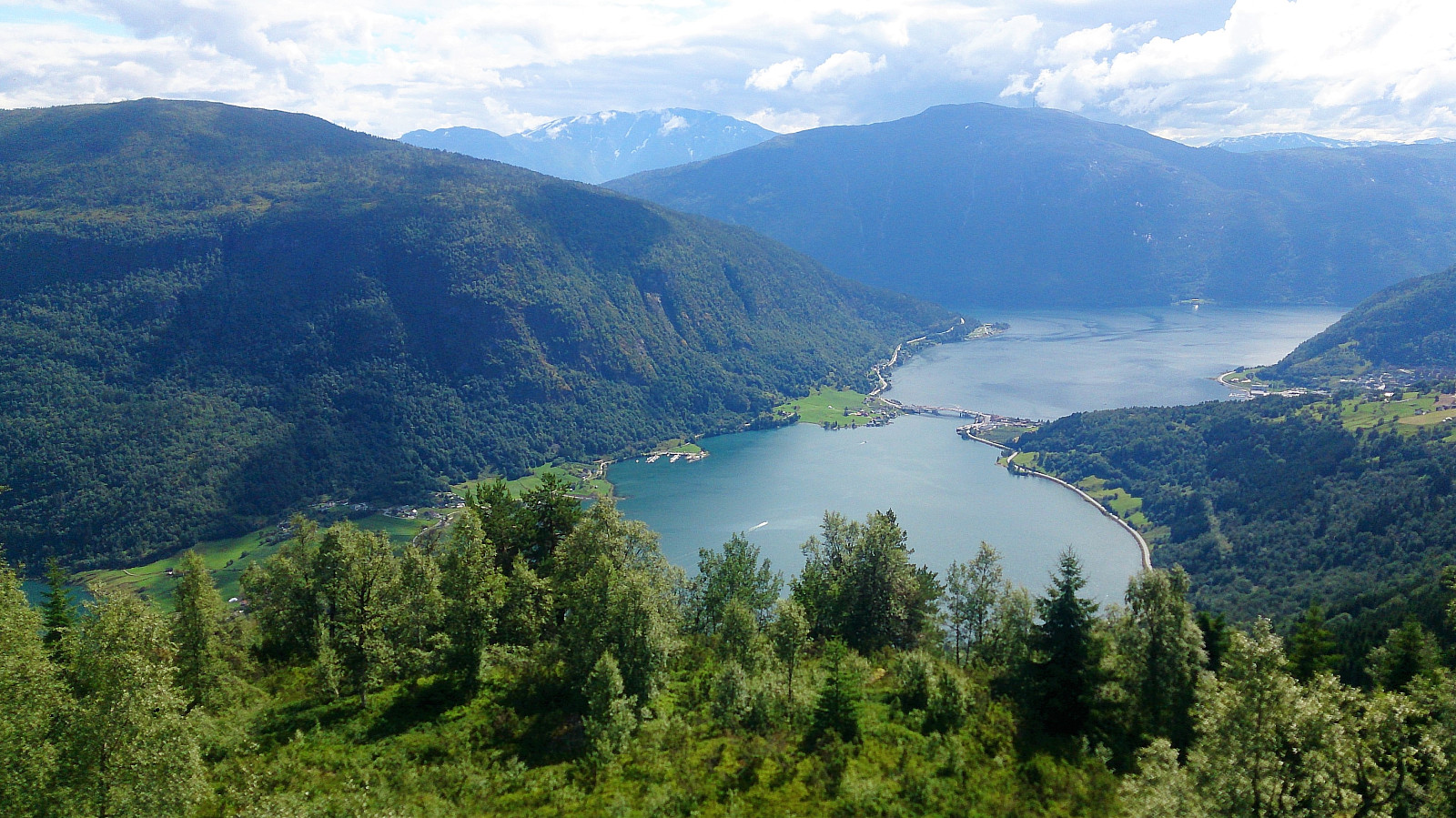
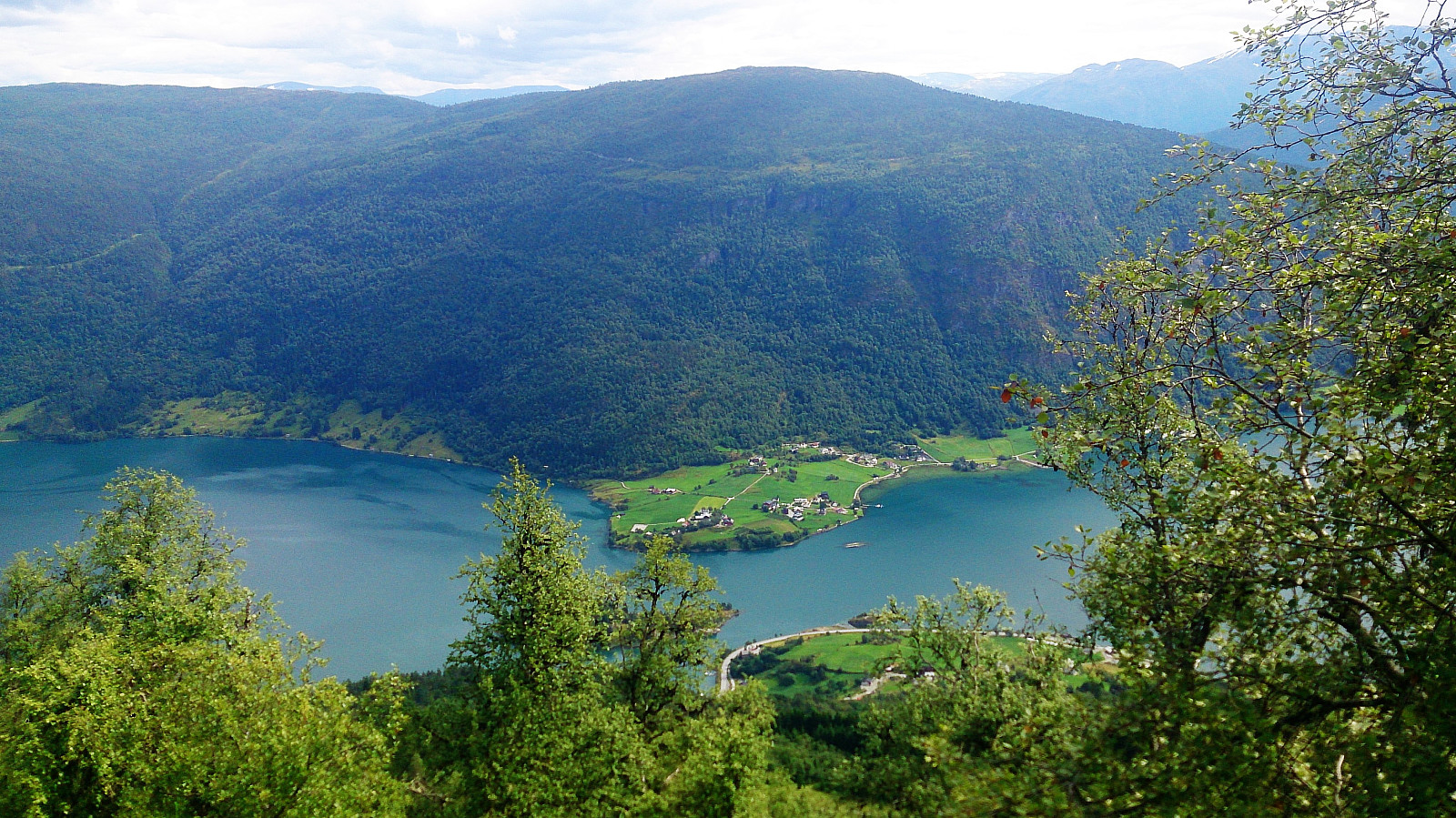
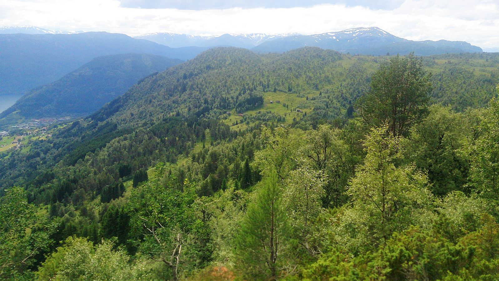
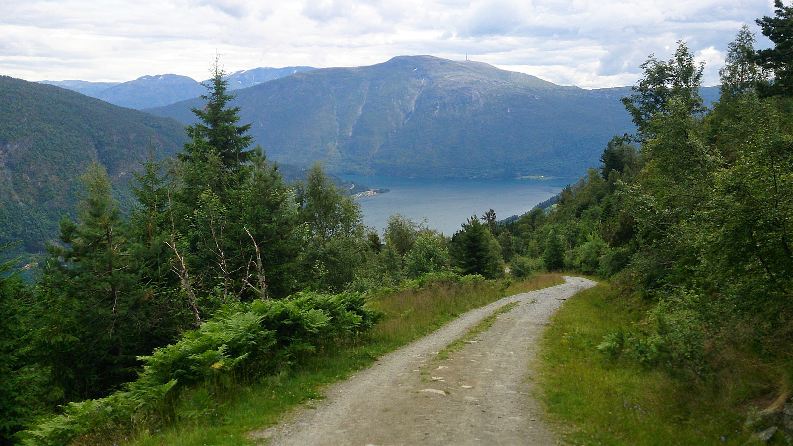
Started from England and followed the gravel road up to Ølnesstølen before making my own way towards Englandshovden. Tried to follow various trails that were indicated on the map, but these all more or less disappeared or turned into animal tracks. The summit itself provided limited views, but the surrounding area was very nice and the views were better when moving away from the summit.
Vetle Hovden
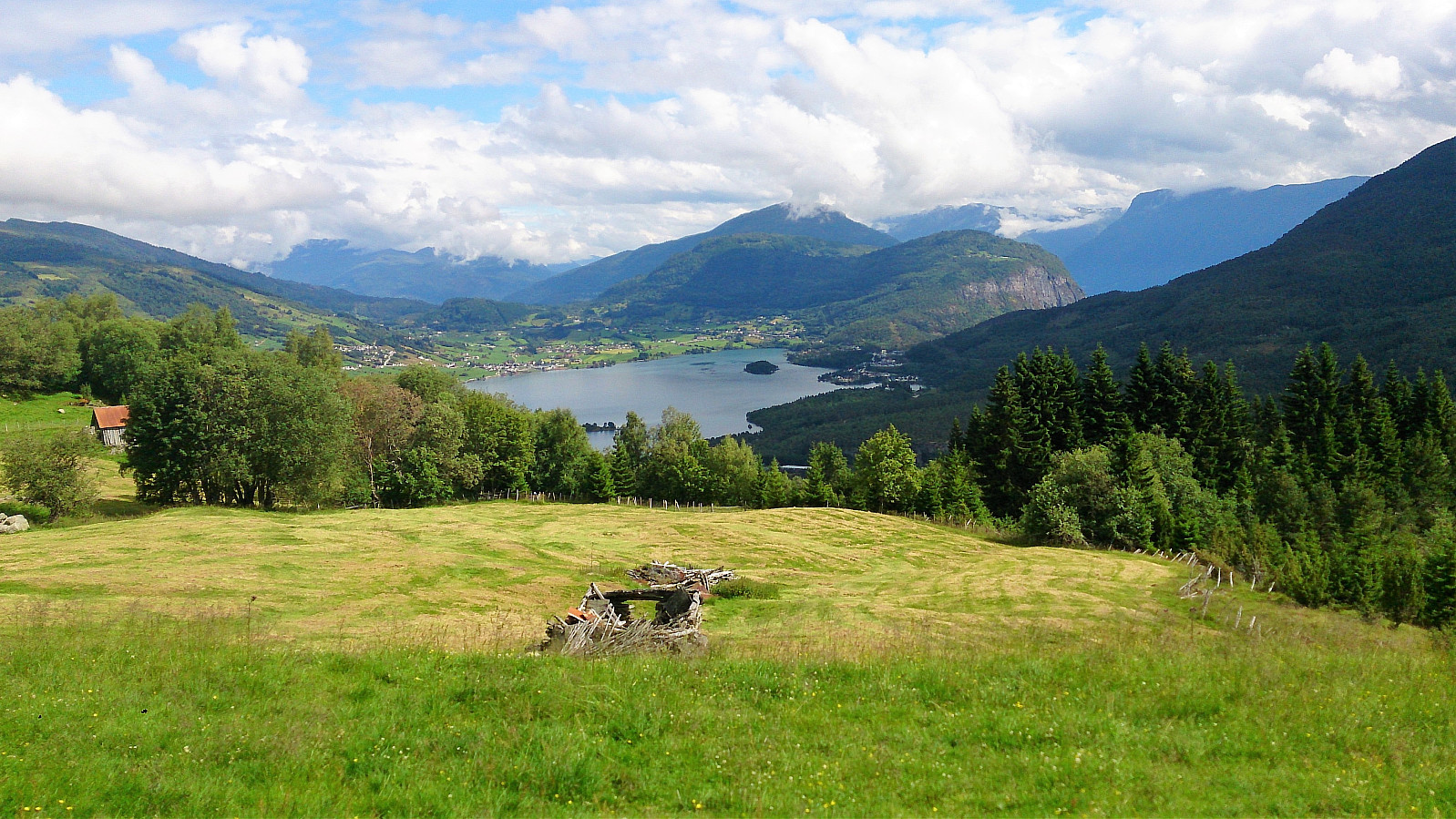
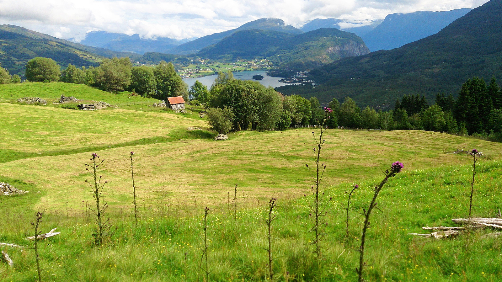
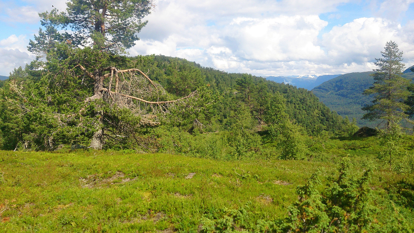
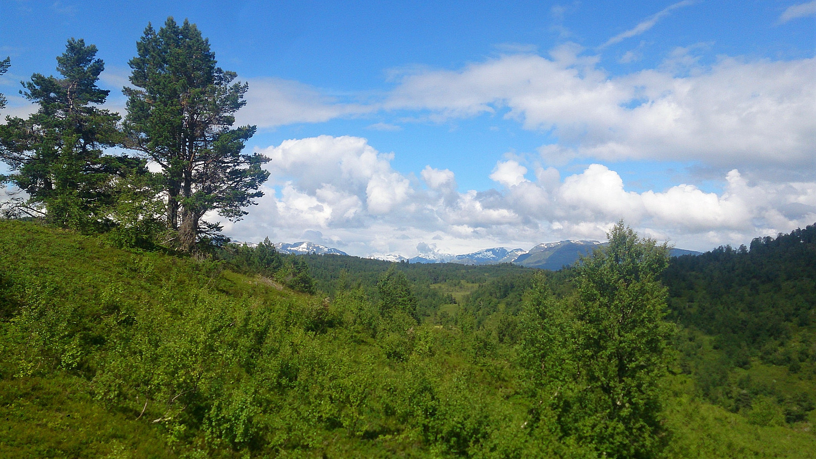
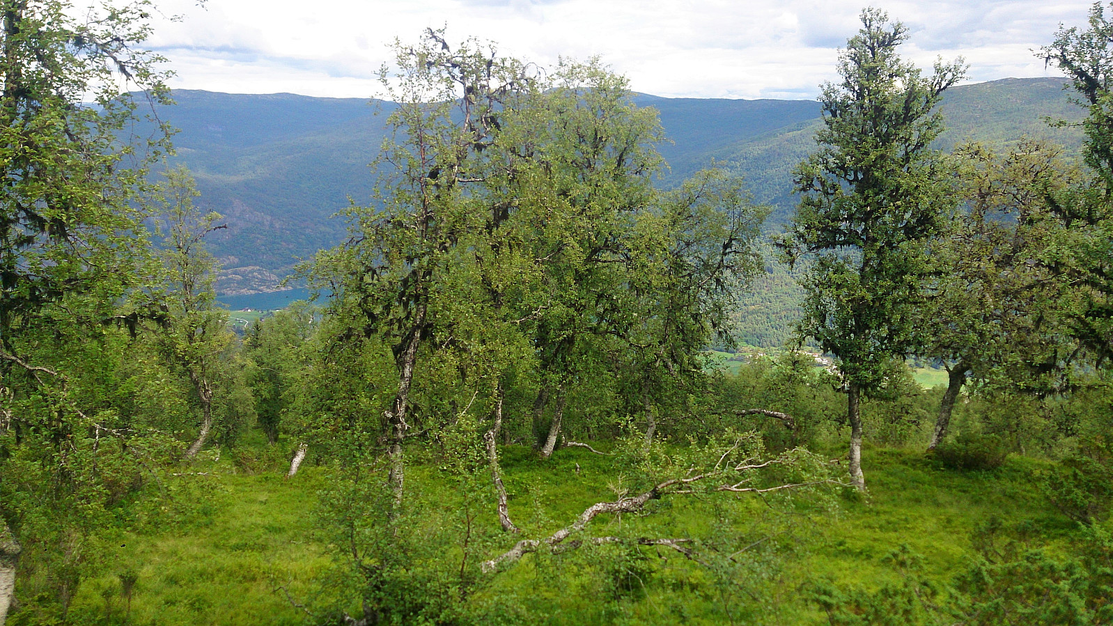
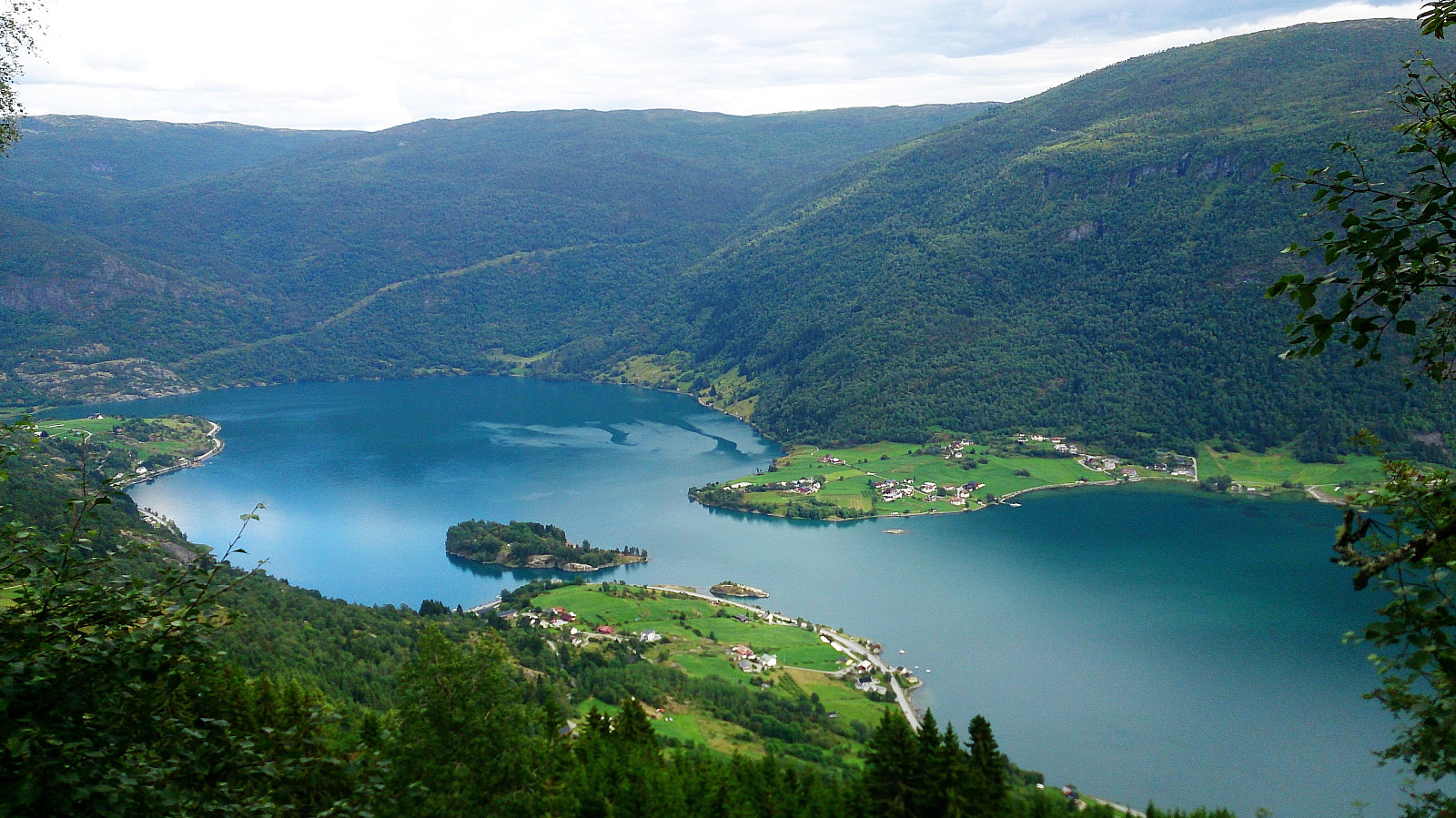
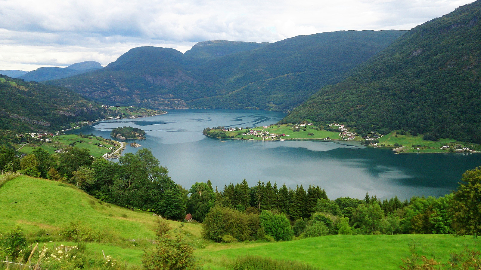
From the top of Englandshovden I continued south to connect with the trail towards Imesdal, which could then easily be followed down to Imesdal and onwards to Vetle Hovden. No trail to the summit of Vetle Hovden, but it was straightforward to arrive at the summit. Again the views from the summit itself were limited (though not as limited as from Englandshovden). I therefore headed southeast for 100 meters or so for much better views.
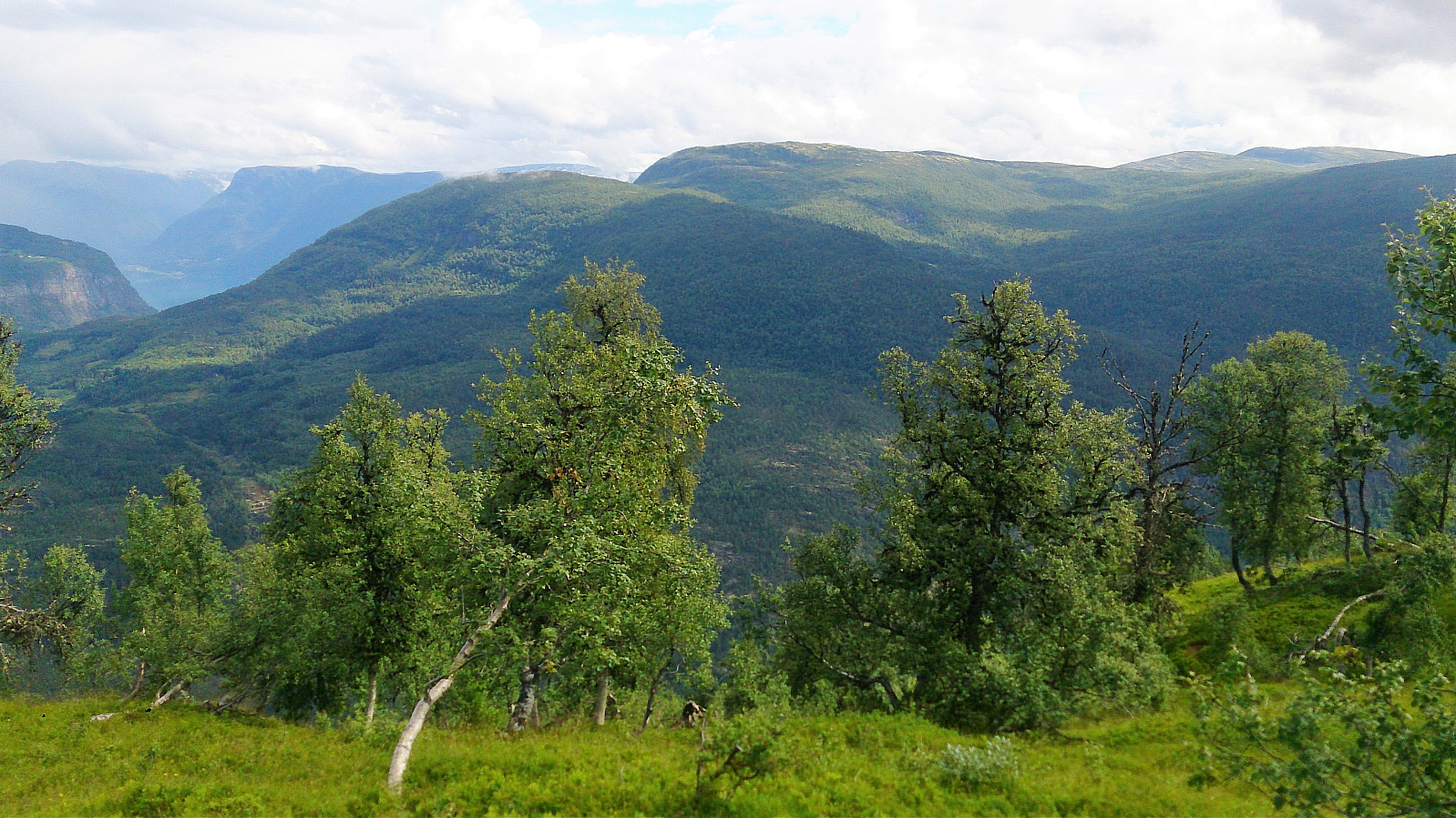
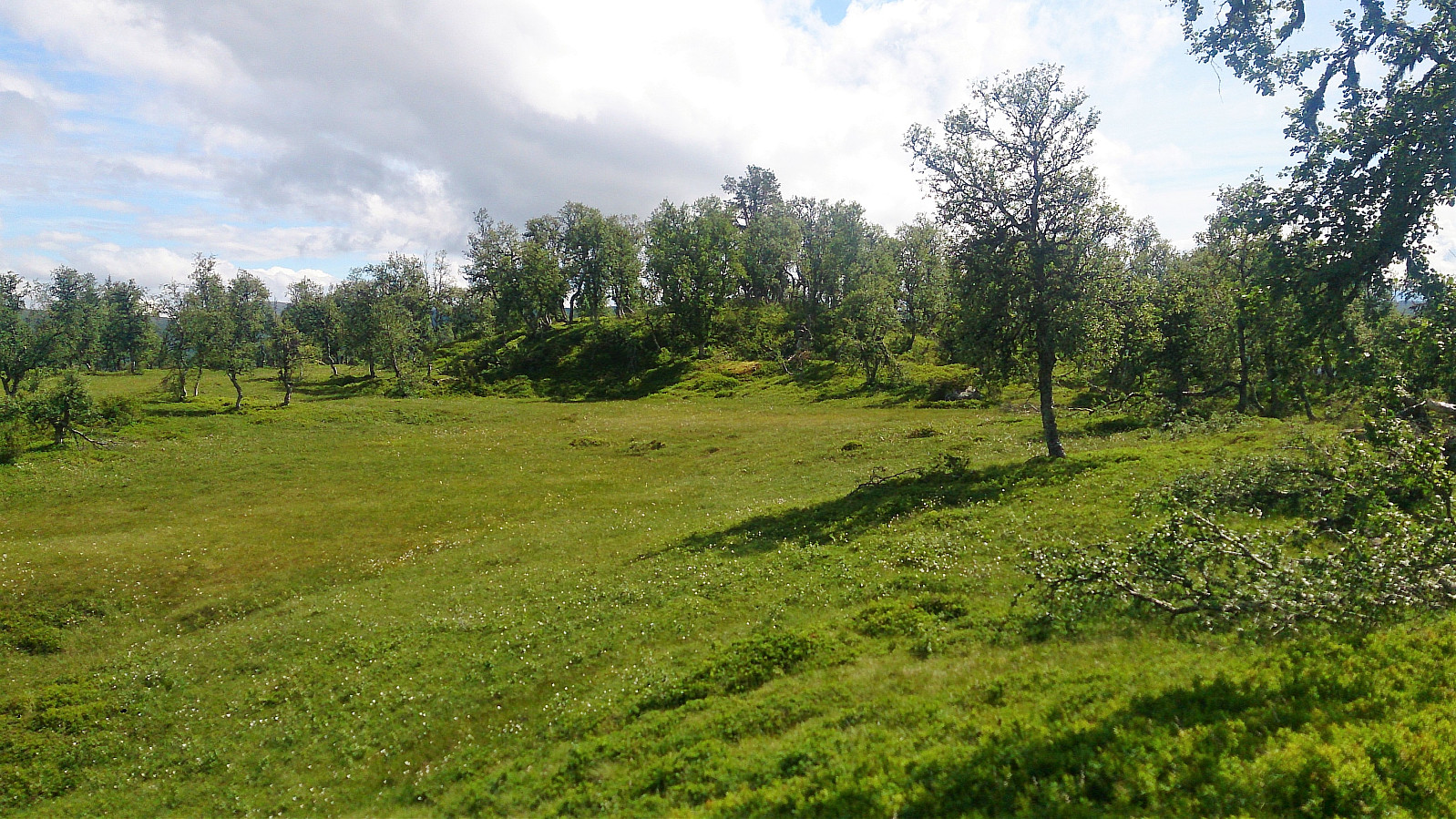
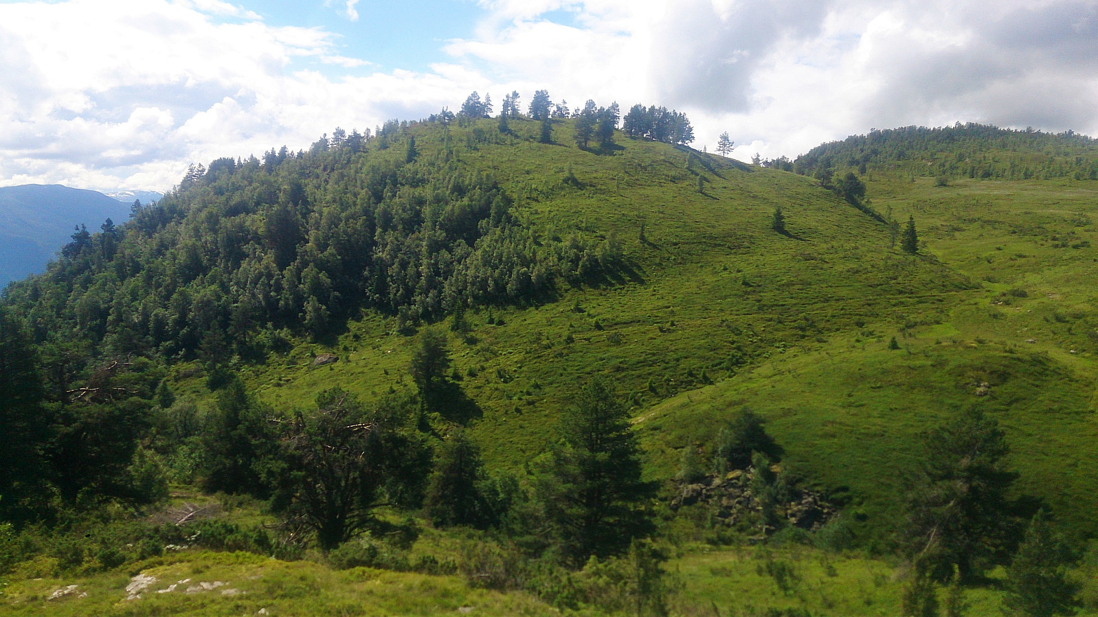
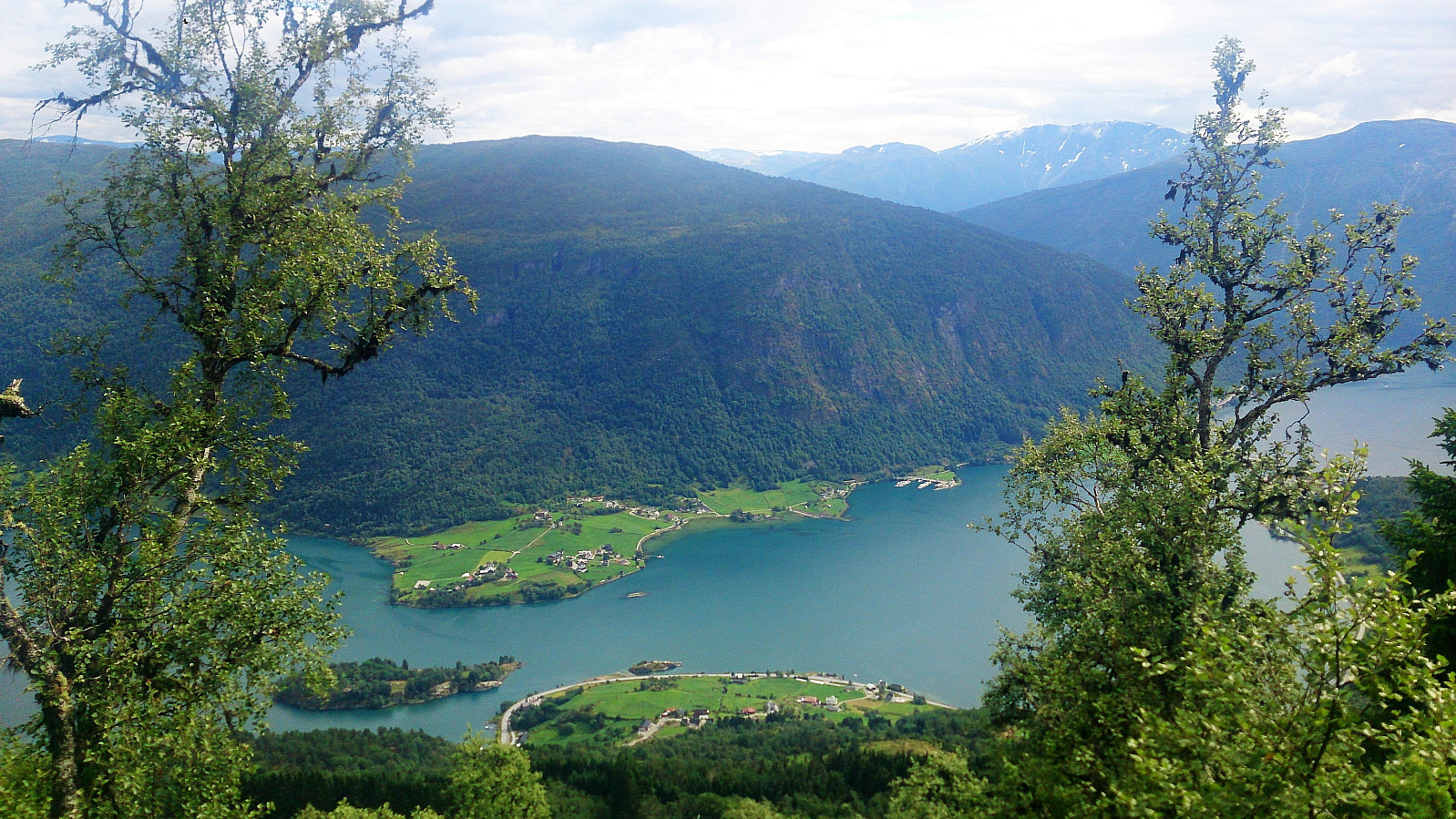
Kammen
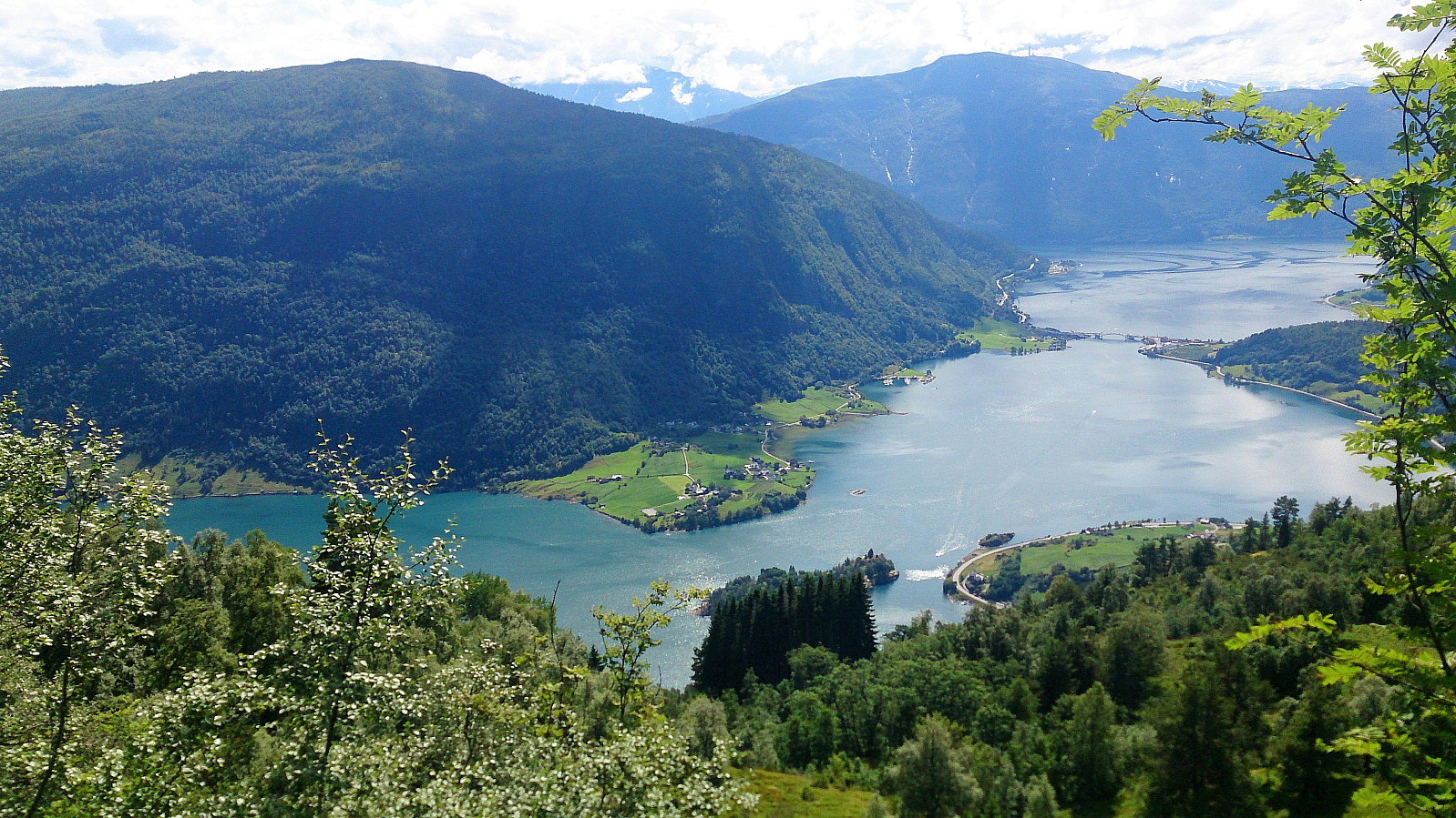
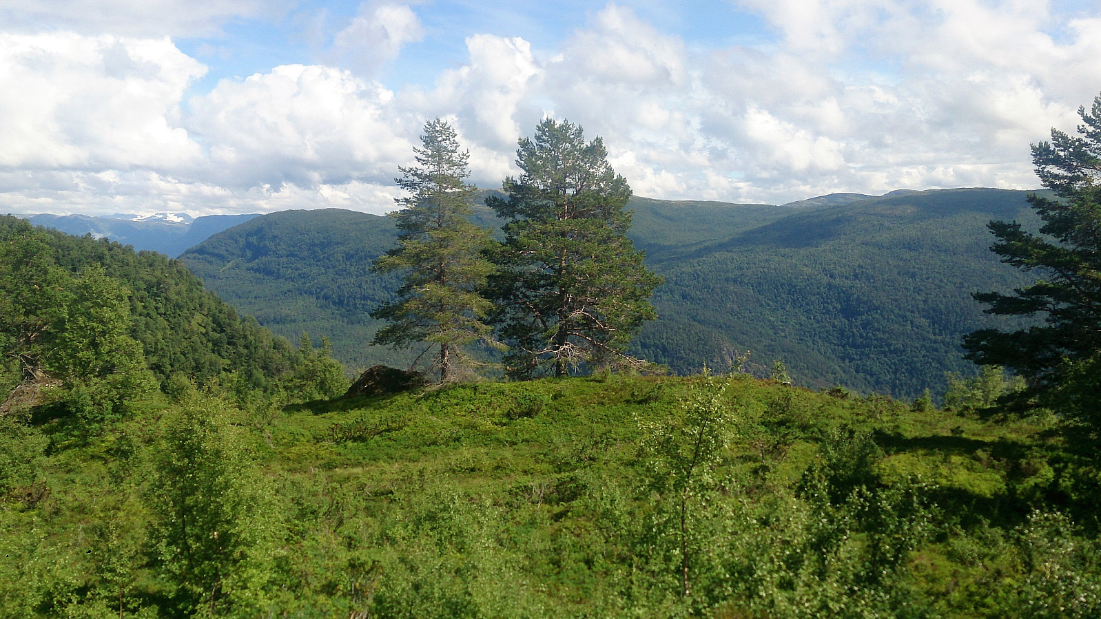
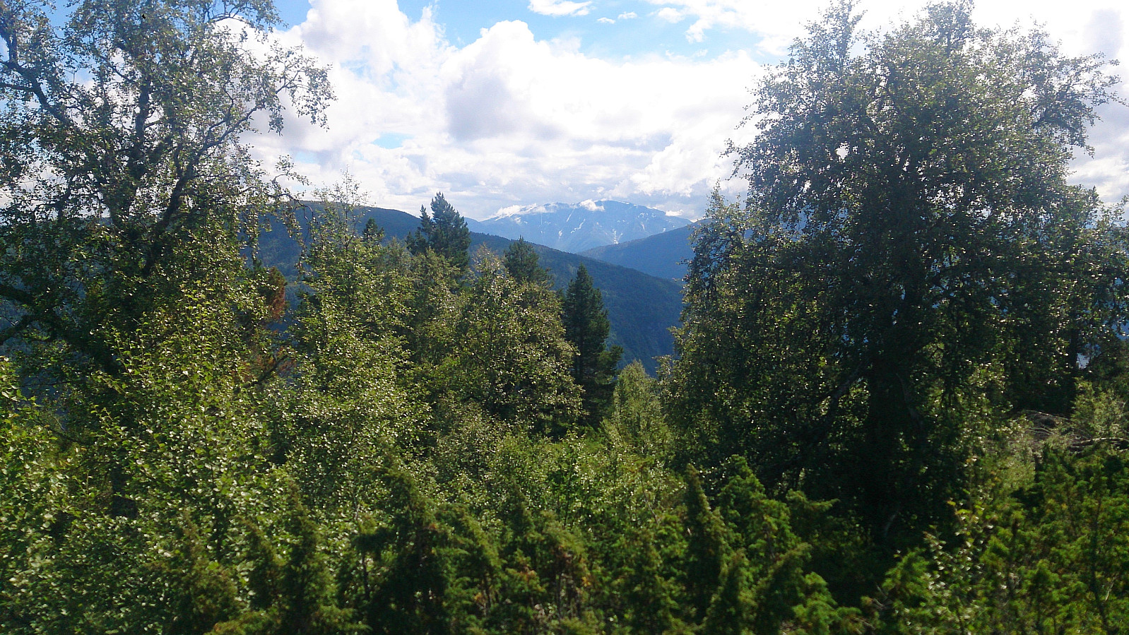
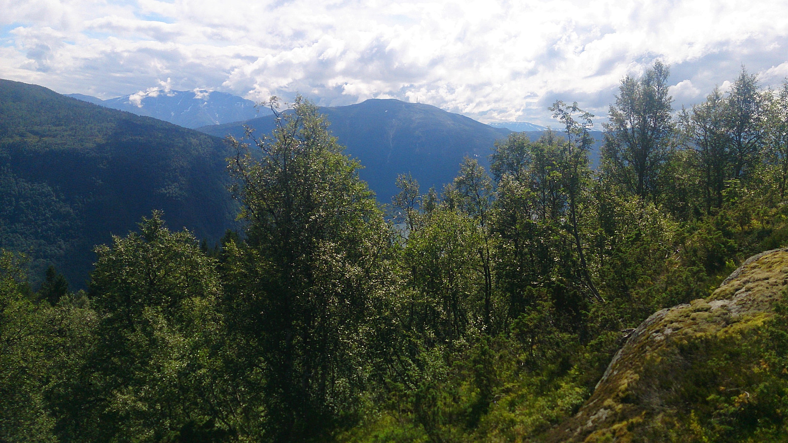
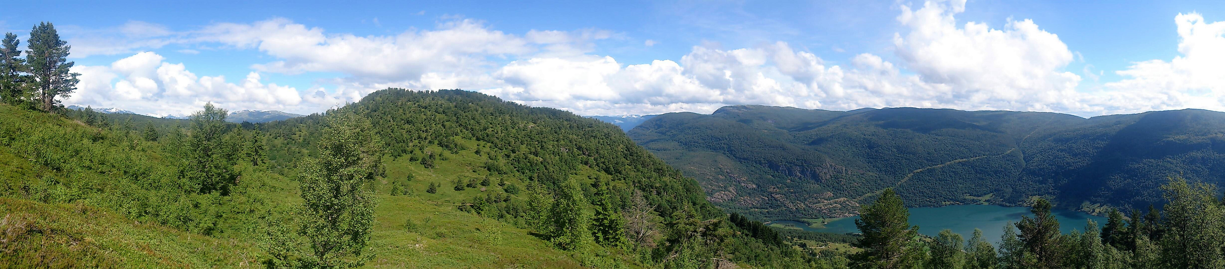
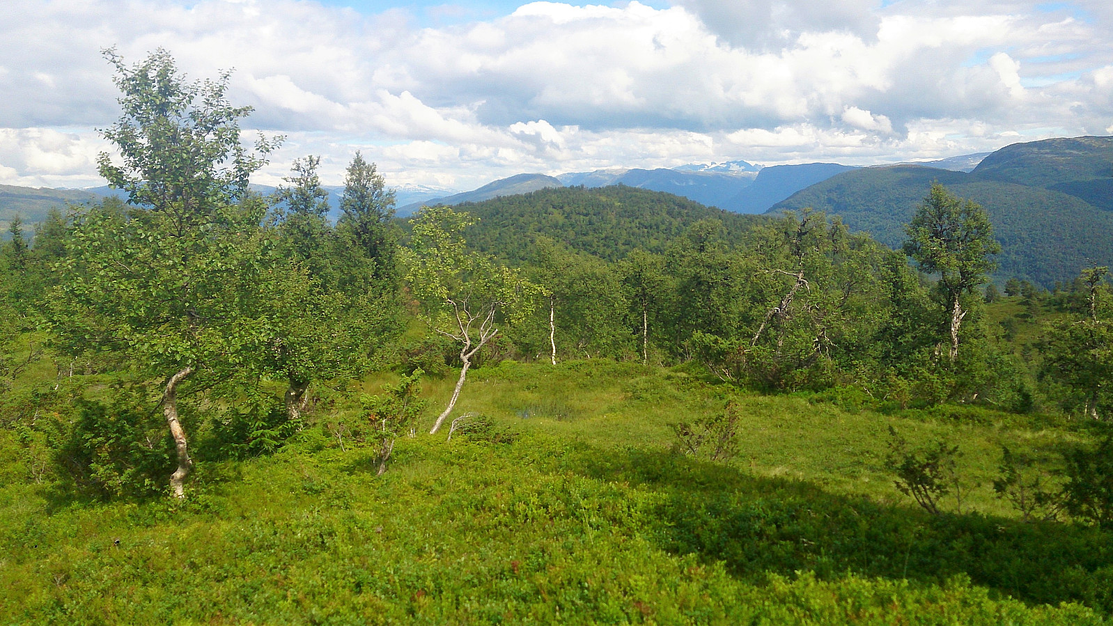
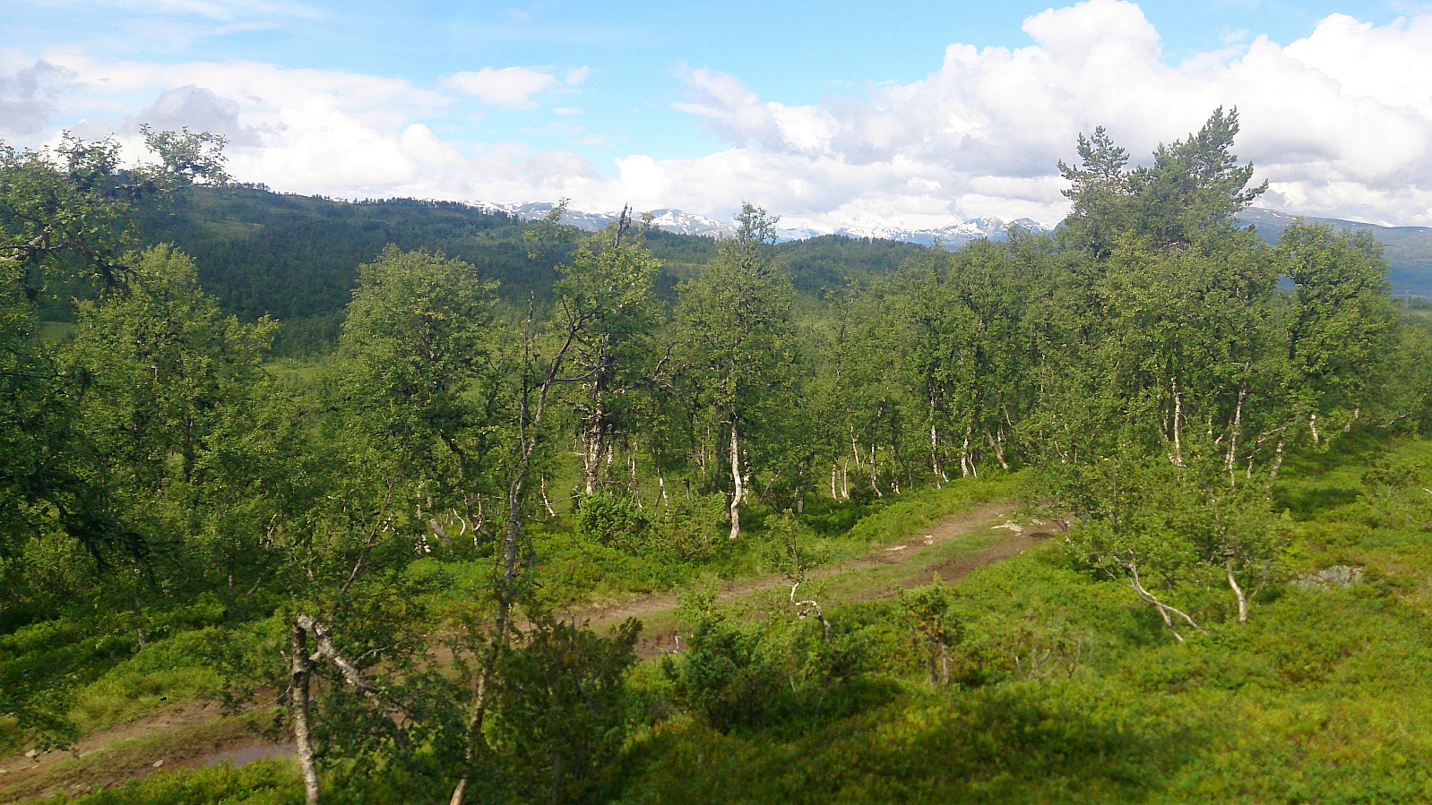
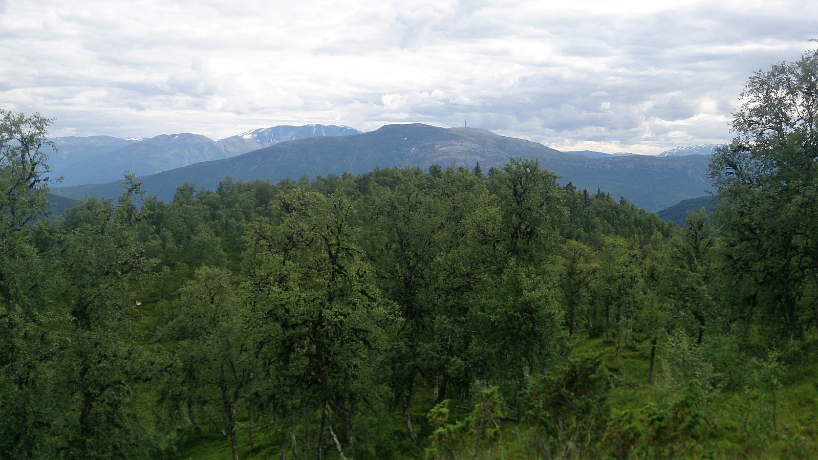
I then reconnected with the trail and started in the direction of Kammen, but quickly lost the trail and ended up following various animal tracks to finally reach the summit. The summit is very close to a tractor road, but the views were quite good. However, the best views were obtained at Kammanobbi at the southwestern end of Kammen, which could be reached by a trail directly from the tractor road.
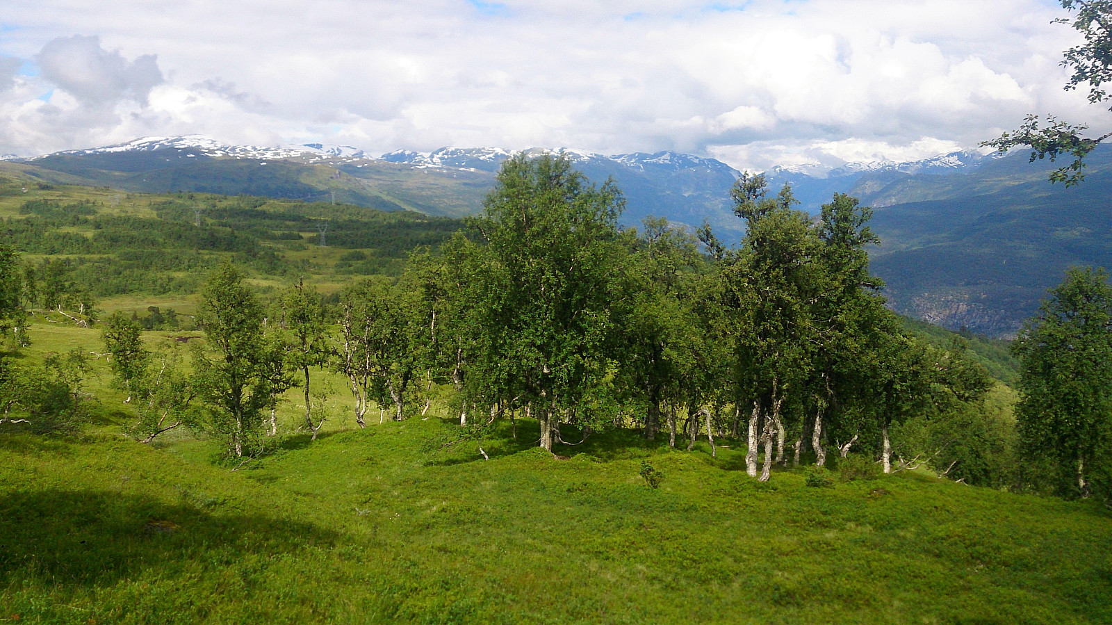
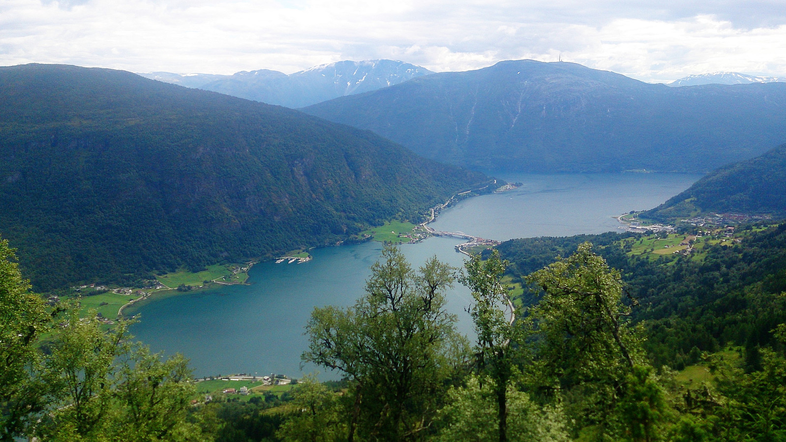
Kjørkhovden
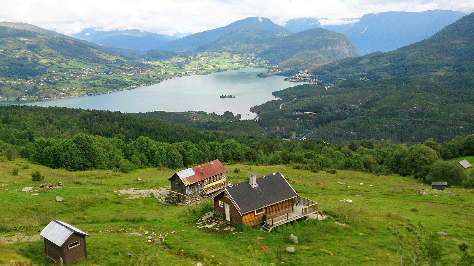
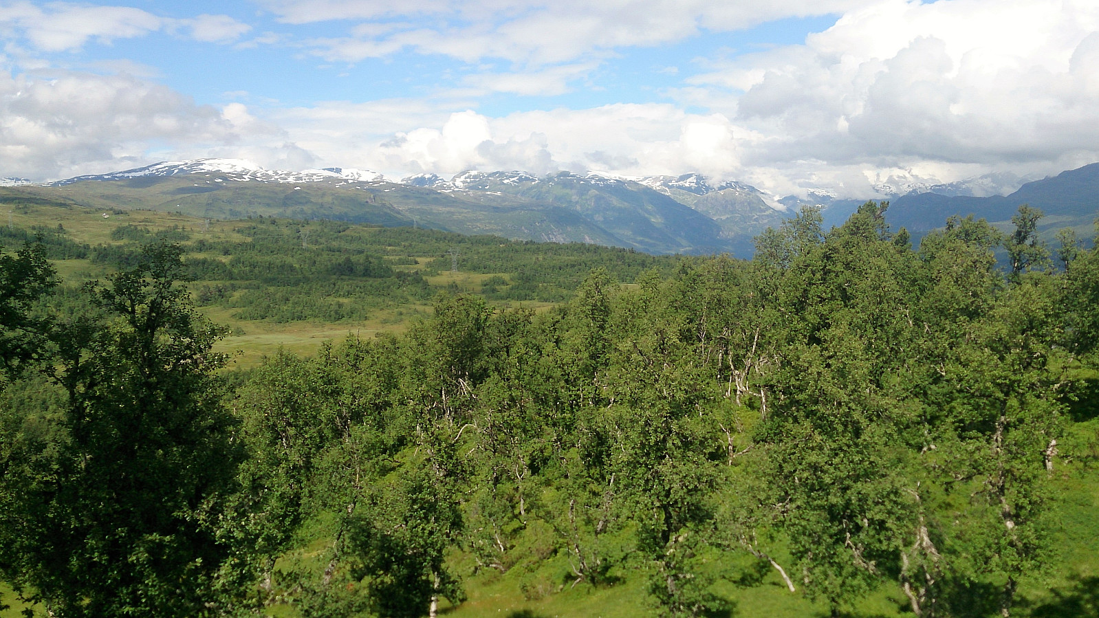
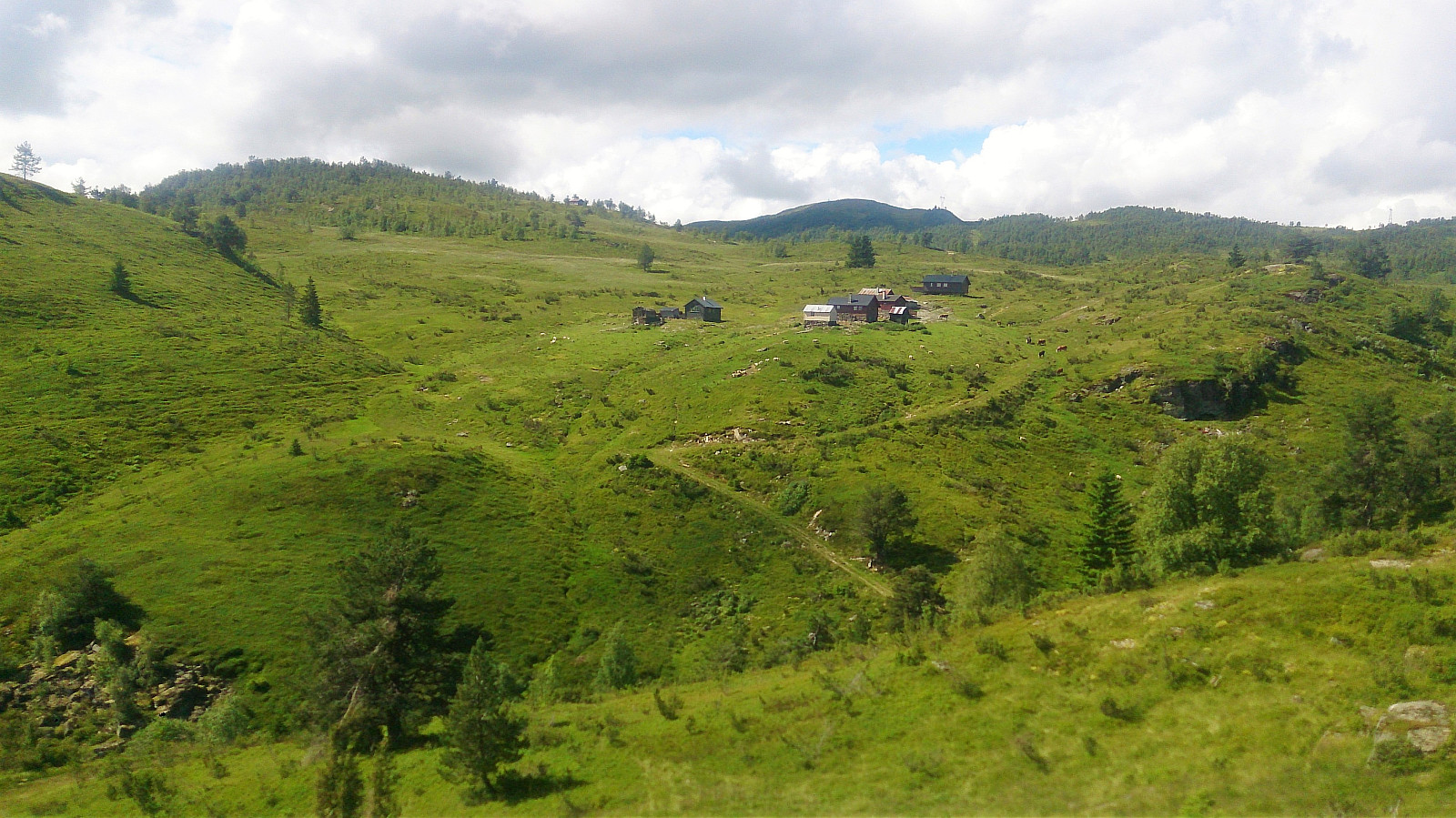
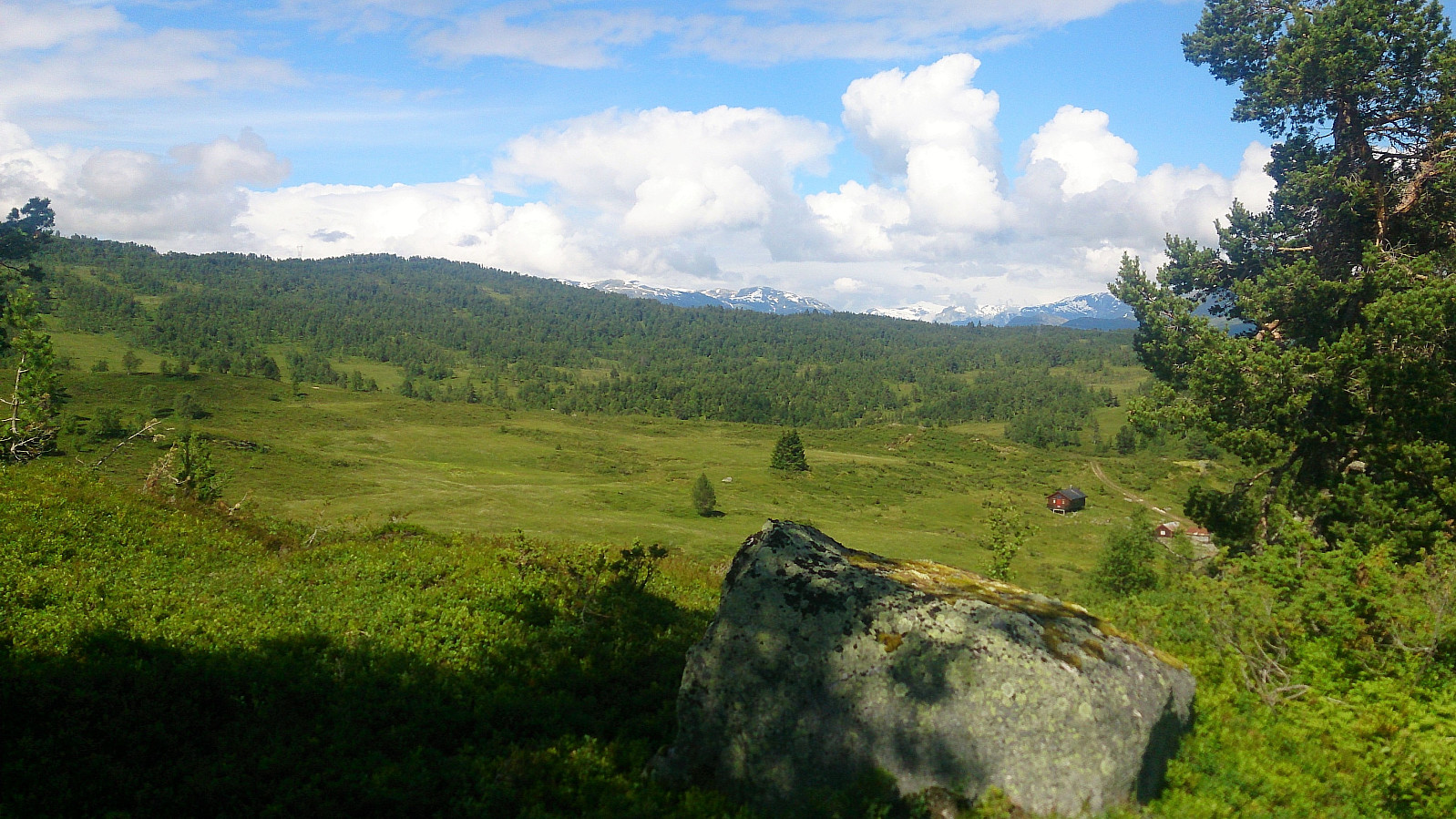
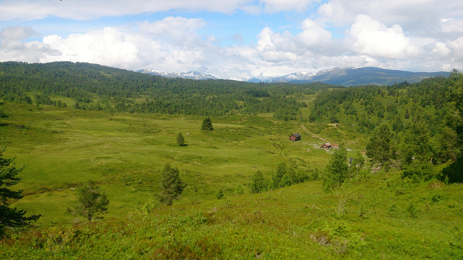
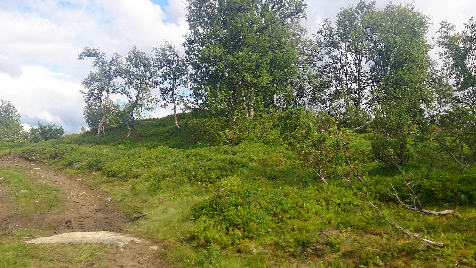
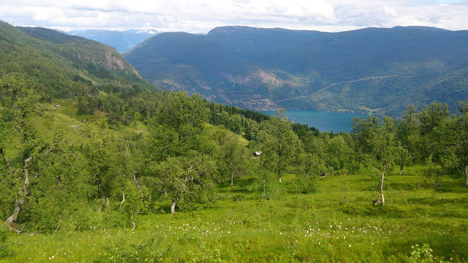
Next, I returned to the tractor road and started towards Hyllsete. But in the first bend of the road I found a trail that I assumed was a potential shortcut taking me directly to Hyllsete (instead of first having to follow the tractor road all the way down to Øygarden). The trail turned out exactly as hoped and I quickly arrived at Hyllsete, where I crossed the river at the bridge and started towards the last goal of the day: Kjørkhovden.
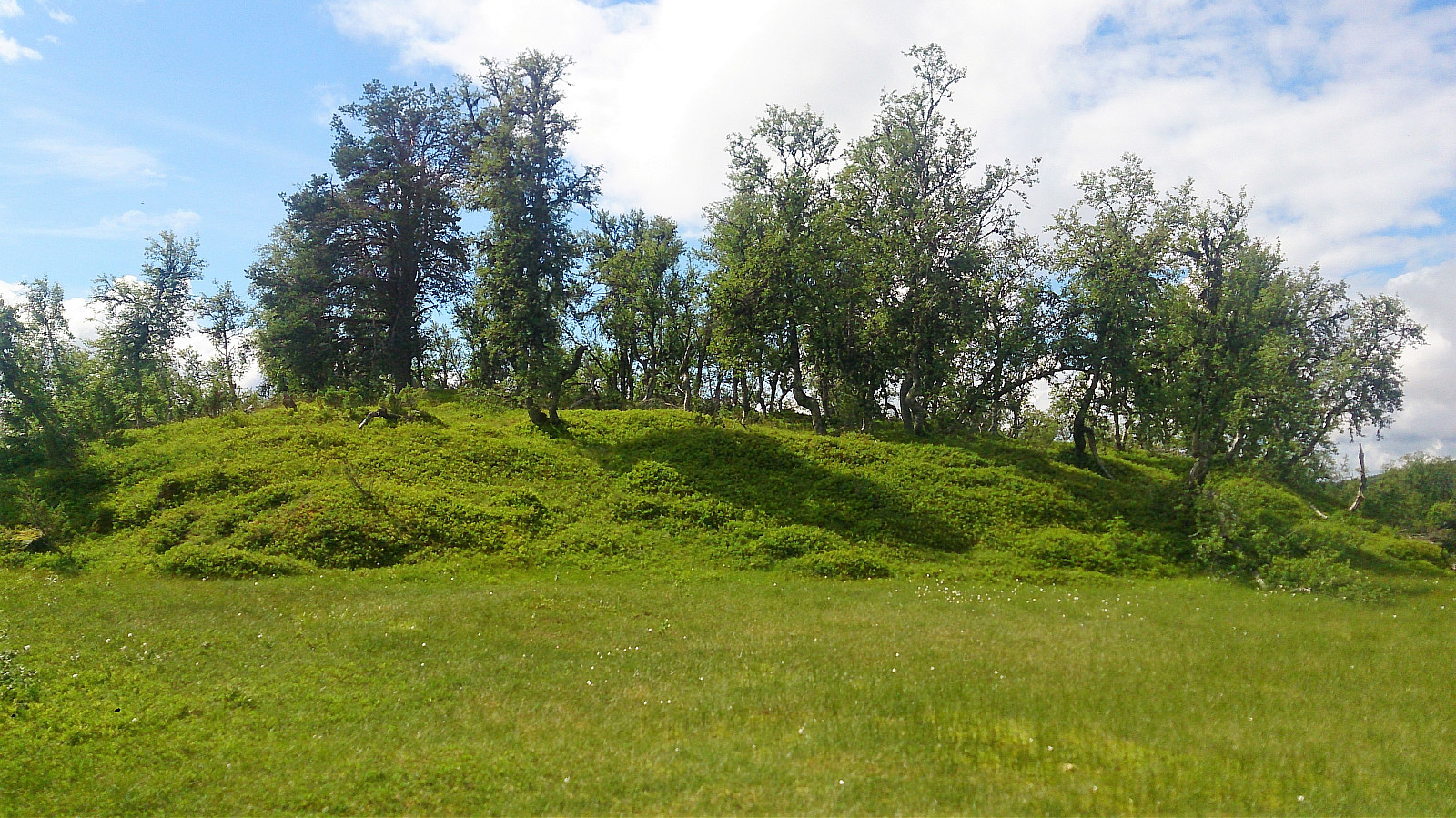
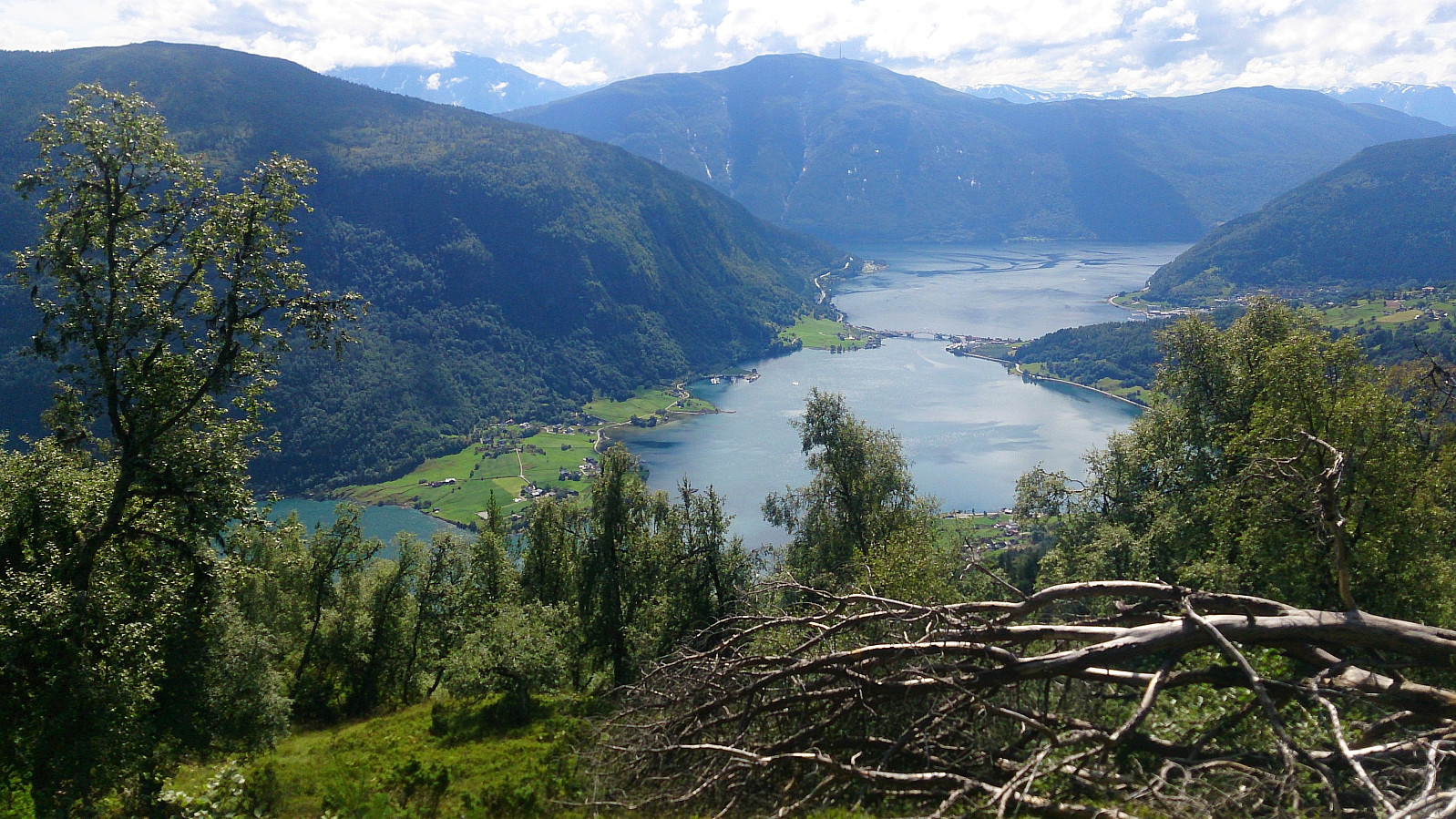
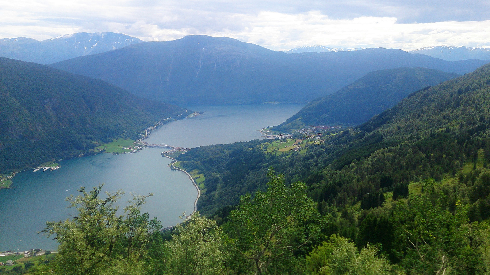
I started by following a weak trail heading west from the last cabin (in the southwestern direction), but it soon became clear that this trail was not heading for Kjørkhovden. I therefore left the trail and instead headed straight for the summit, and shortly arrived at the highest point, which, as expected, had limited views. Did not stay long before returning to Hyllsete, from where I followed the gravel road down to Åberge for the conclusion of the hike.
Conclusion
In summary, an interesting hike that can be recommended. However, the summits themselves were not the most interesting part. The general lack of trails to the summits did not help either.
Combined with the fact that the best views were not obtained from the summits, but rather in between the summits, one can perhaps consider skipping the summits altogether (perhaps with the exception of the view from Kammanobbi), and thus have a more enjoyable and simpler hike from England to Åberge.
| Start date | 30.07.2017 11:30 (UTC+01:00 DST) |
| End date | 30.07.2017 16:28 (UTC+01:00 DST) |
| Total Time | 4h 57min |
| Moving Time | 4h 23min |
| Stopped Time | 0h 34min |
| Overall Average | 2.5km/h |
| Moving Average | 2.9km/h |
| Distance | 12.6km |
| Vertical meters | 898m |


User comments