
Solbakkefjellet from Kalandseidet (14.07.2017)

Written by hbar (Harald Barsnes)

| Start point | Kalandseidet (75m) |
|---|---|
| Endpoint | Kaland (62m) |
| Characteristic | Hillwalk |
| Duration | 4h 18min |
| Distance | 12.8km |
| Vertical meters | 597m |
| GPS |
|
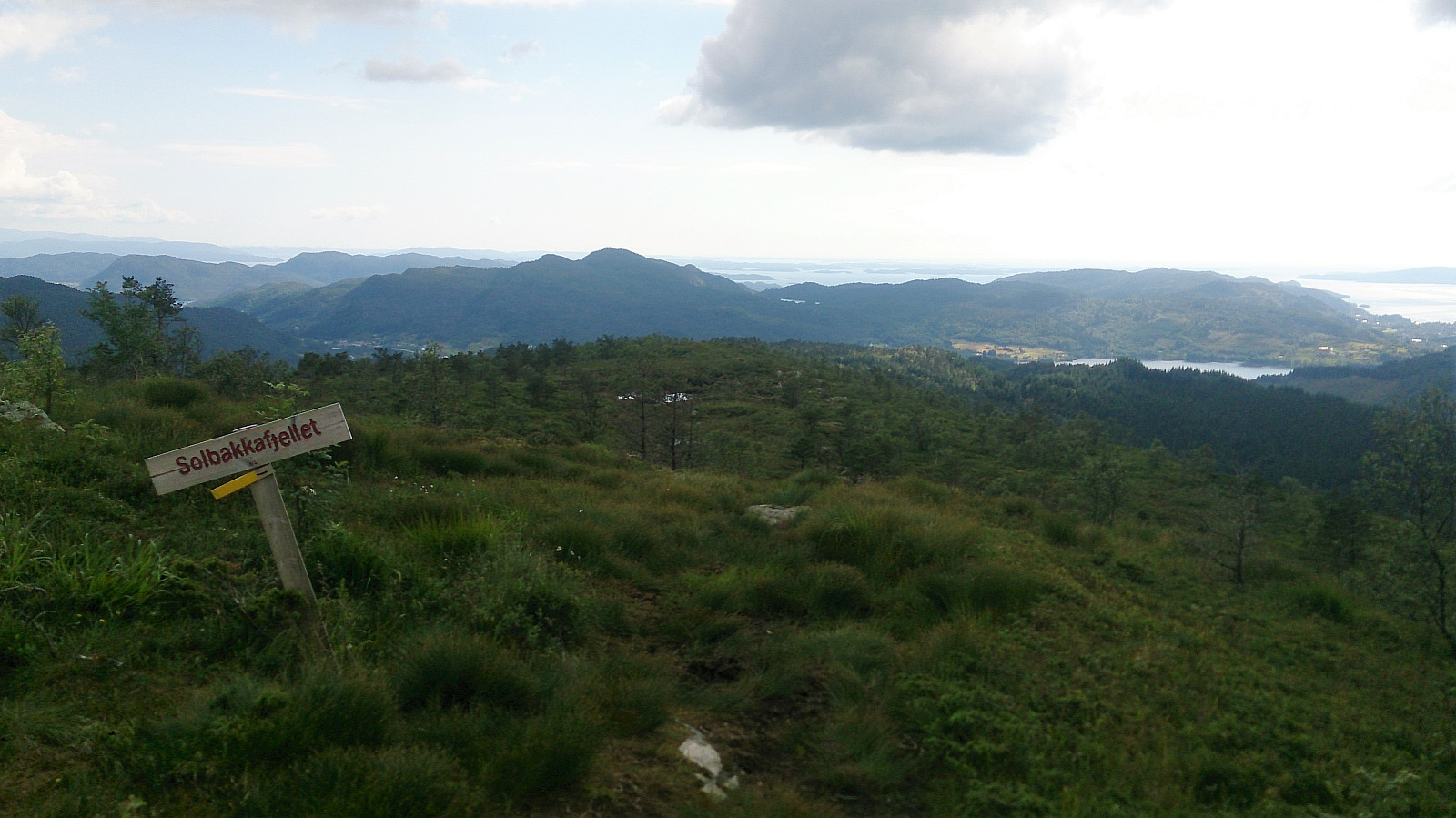
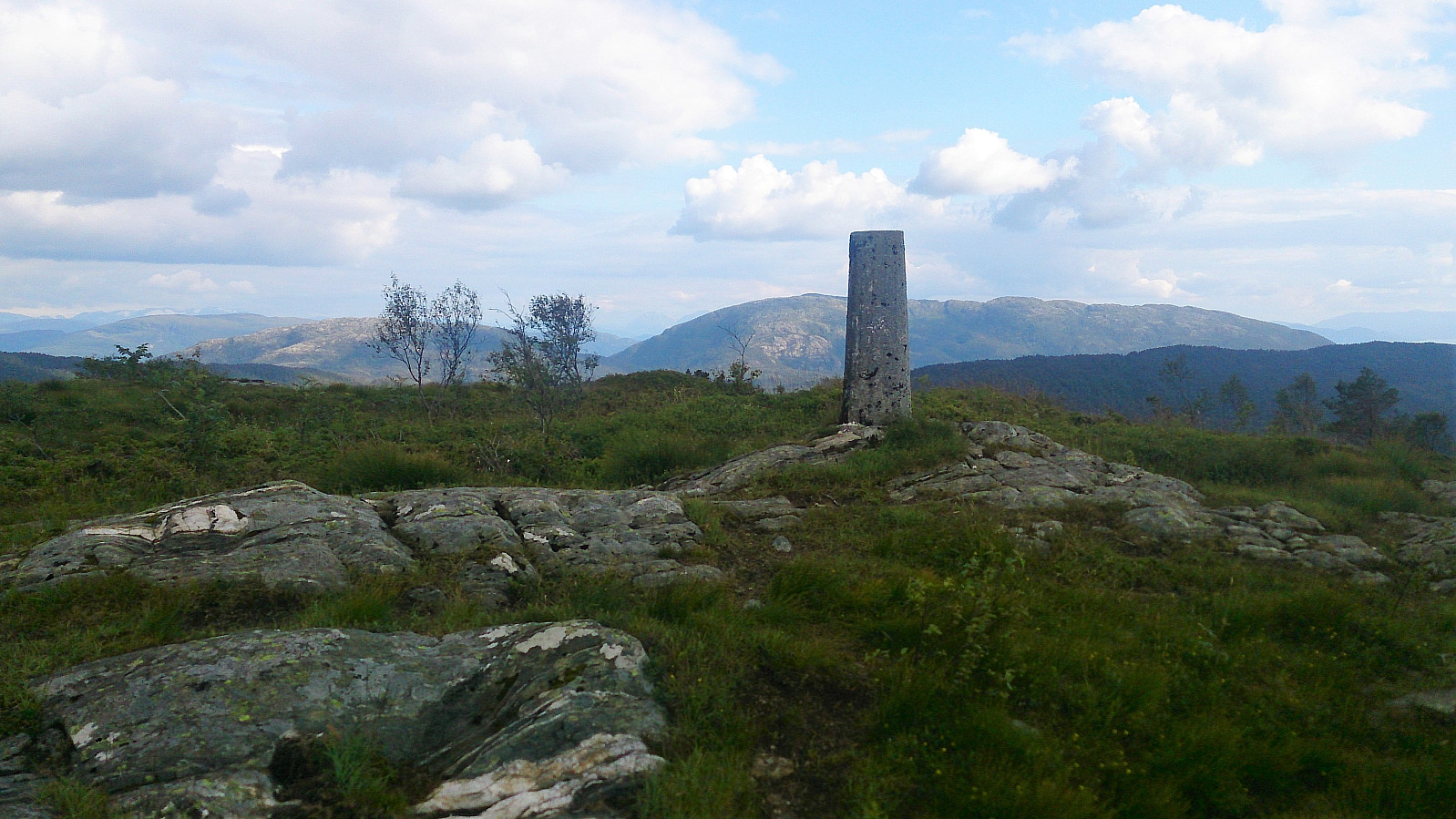
| Ascents | Solbakkafjellet (459m) | 14.07.2017 |
|---|---|---|
| Visits of other PBEs | Røytedalen parkering (102m) | 14.07.2017 |
| Varden på Solbakkafjellet (456m) | 14.07.2017 |
Solbakkefjellet from Kalandseidet
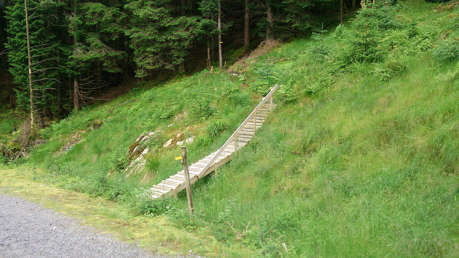

The plan for the day was to take the bus to Hausdal and hike up to Søre Gullfjelltoppen, but it soon became clear that the corresponding bus from Kalandseidet was not showing up or had already left. As an alternative we decided on Solbakkefjellet. We followed one of the marked trails to the summit, and then doubled back to end up at Kaland for the bus back to the city center.
For a longer version of the same hike see Solbakkefjellet from Kalandseidet.
| Start date | 14.07.2017 15:05 (UTC+01:00 DST) |
| End date | 14.07.2017 19:23 (UTC+01:00 DST) |
| Total Time | 4h 18min |
| Moving Time | 3h 48min |
| Stopped Time | 0h 30min |
| Overall Average | 3.0km/h |
| Moving Average | 3.4km/h |
| Distance | 12.8km |
| Vertical meters | 596m |


User comments