
Herlandsfjellet and Bjørndalshovden to Storoksla (03.06.2017)

Written by hbar (Harald Barsnes)

| Start point | Espelandshallen (75m) |
|---|---|
| Endpoint | Espelandshallen (75m) |
| Characteristic | Hillwalk |
| Duration | 5h 42min |
| Distance | 17.8km |
| Vertical meters | 1,072m |
| GPS |
|
| Ascents | Bjørndalshovden (380m) | 03.06.2017 |
|---|---|---|
| Herlandsfjellet (695m) | 03.06.2017 | |
| Hovden i Bergen (339m) | 03.06.2017 | |
| Nesheia (193m) | 03.06.2017 | |
| Storoksla (215m) | 03.06.2017 | |
| Vemånen (297m) | 03.06.2017 | |
| Visits of other PBEs | Espeland fangeleir (130m) | 03.06.2017 |
Herlandsfjellet and Bjørndalshovden to Storoksla
From Espeland to Osavatnet
Started by taking the bus to Espelandshallen and walking up Moldamyrane and later Gullfjellsvegen to Osavatnet. The distance was about 5 km and took around one hour, and even though this was merely a requirement to get to the start of the actual hike, it was nicer than expected and can be recommended as an alternative way of getting to Osavatnet if you do not have a car.
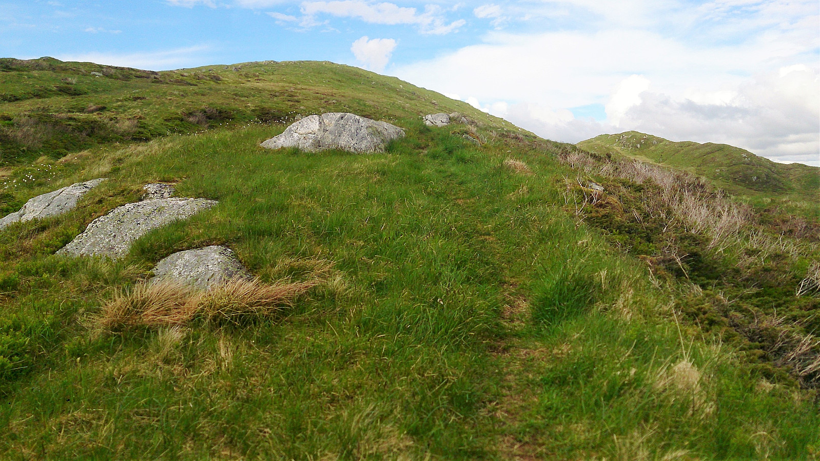
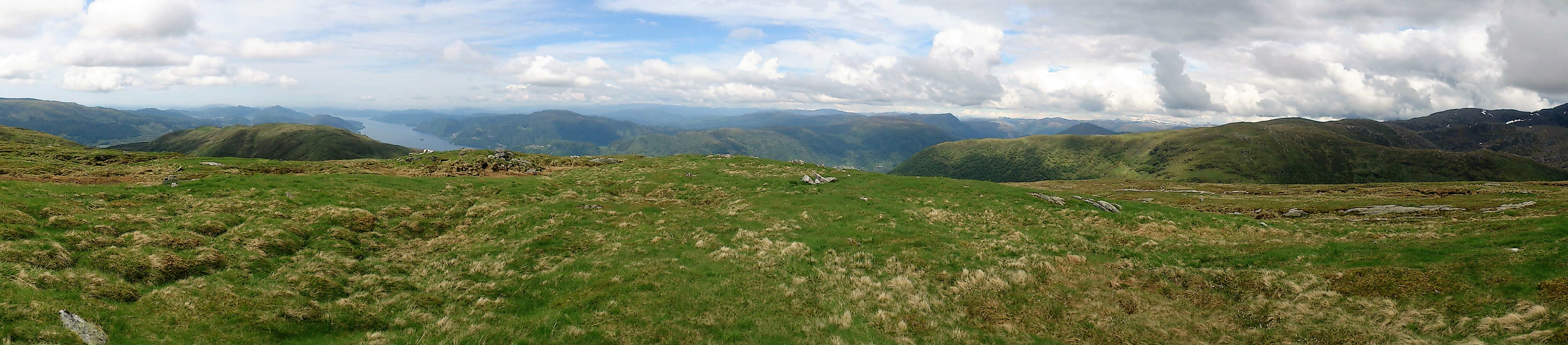
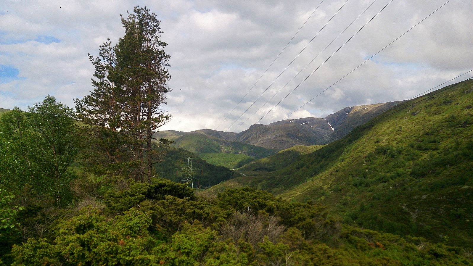
Herdalsfjellet
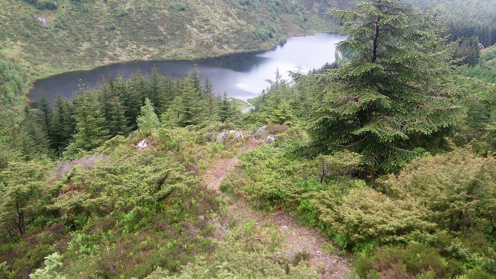
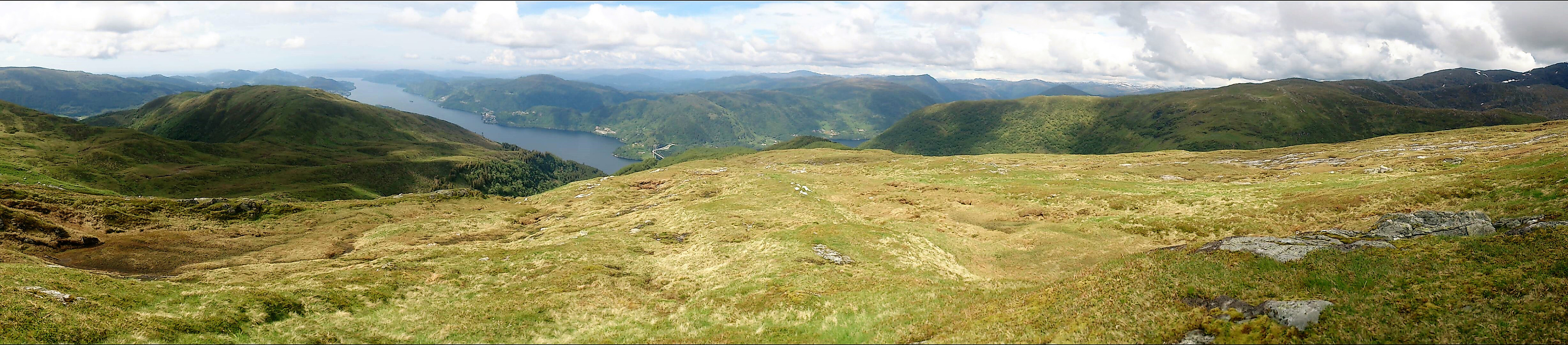
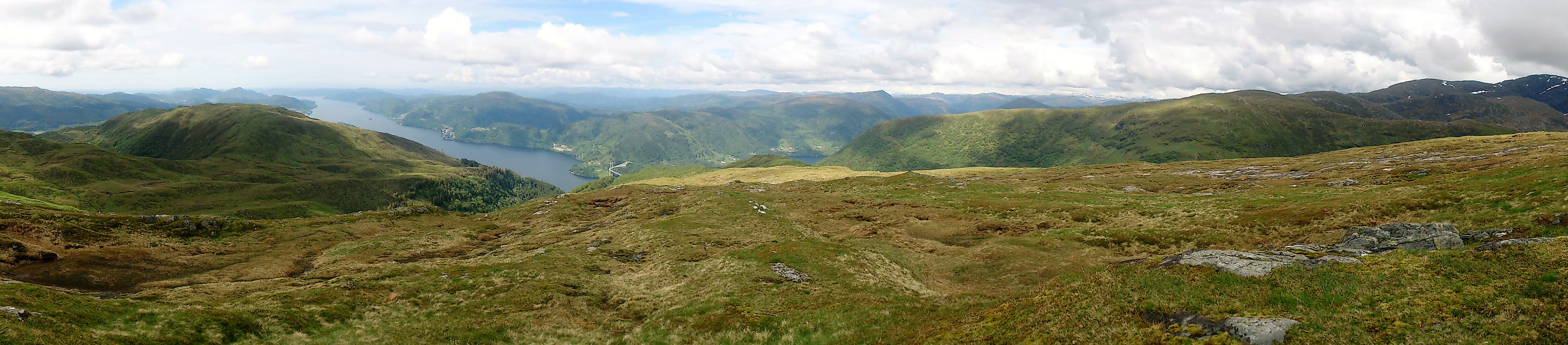
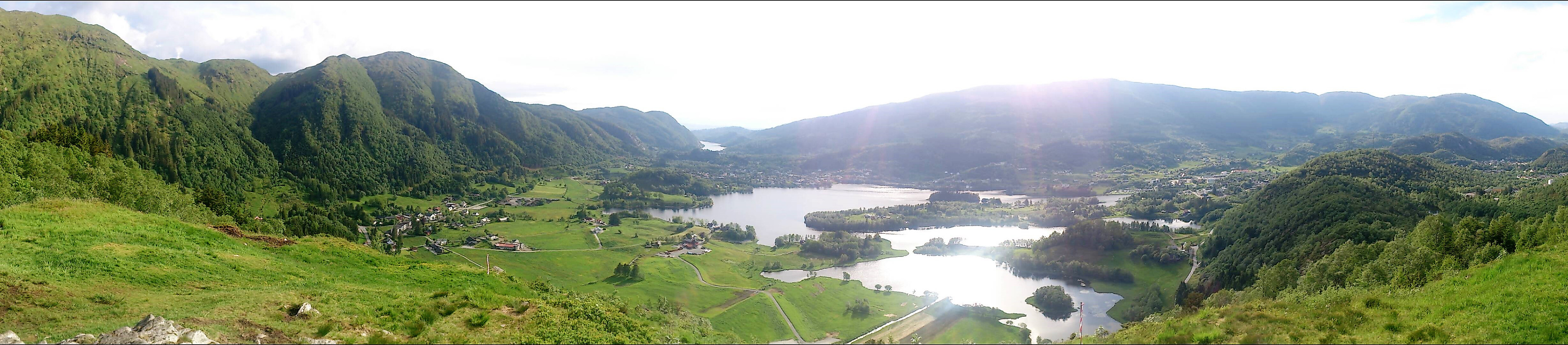
Next, I located the trail towards Herlandsfjellet. It starts close to the northern end of Osavatnet, right behind the red cabin on the left-hand side before arriving at the parking lot. The start of the trail was not marked, and a bit weak at the beginning, but due to the red cabin it is still very easy to locate. According to the map, the trail would only take me up to around 500 meters, but as expected the trail continued, although a bit weaker, all the way to the summit of Herlandsfjellet. Herlandsfjellet had very nice views in all direction, in particular towards Osterøy and Repparåsen/Arna. To fully enjoy the views, I continued north across the summit. After a short break, I then doubled back and followed the same trail back down to Osavatnet. In total, the roundtrip from the red cabin up to Herlandsfjellet and back took around 1.5 hours and was less than 5 km in length. A hike than can be highly recommended!
Bjørndalshovden
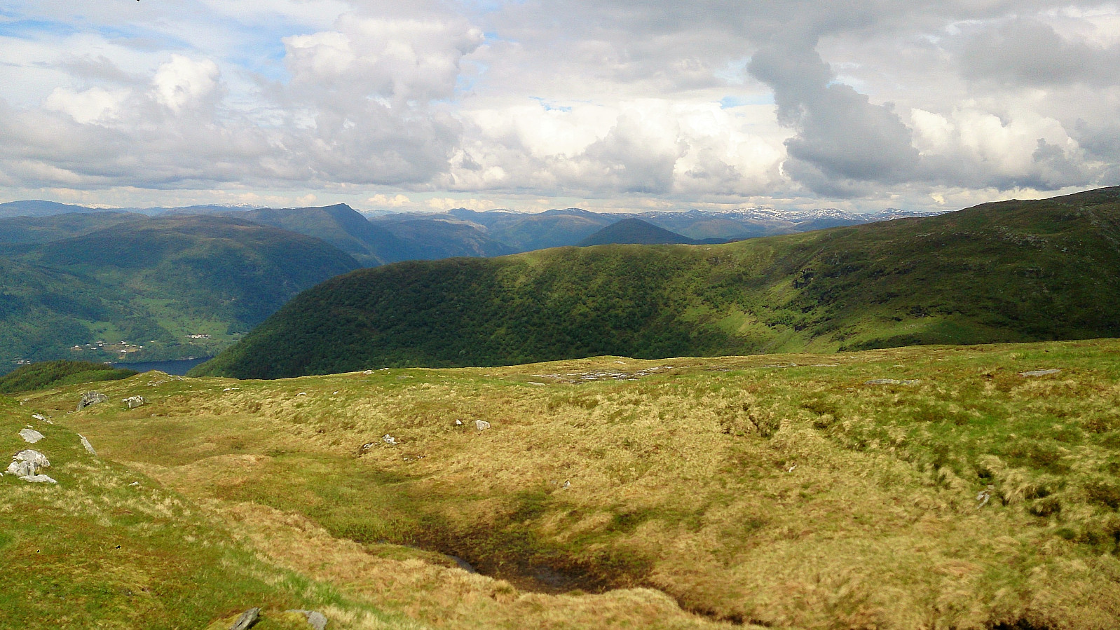
My plan was now to cover the four smaller peaks along Gullfjellsvegen on my way back to Espeland. First up was Bjørndalshovden. After reading several trip reports I was not too optimistic about this one, which turned out to be correct: no proper trails and lots of bushes to fight. Clearly another one of those "once, but never again" peaks. My ascent started from the parking lot at the southern end of Osavatnet, and from there followed various animal tracks towards the top. The summit itself had better views than expected, but not really worth a visit unless you are collecting the "Bergen ≥ 50m pf. og ≥ 100 m.o.h." list. From the summit, I followed a similar trail back down to Gullfjellsvegen.
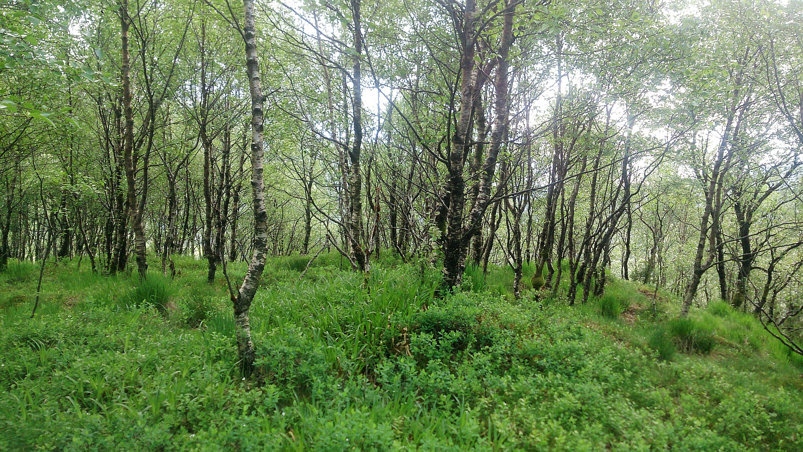
Hovden
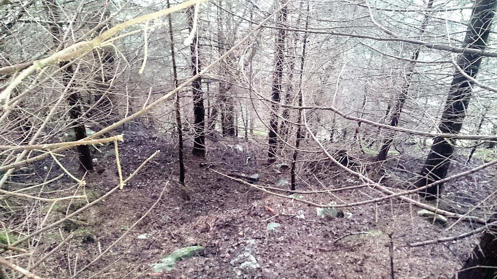
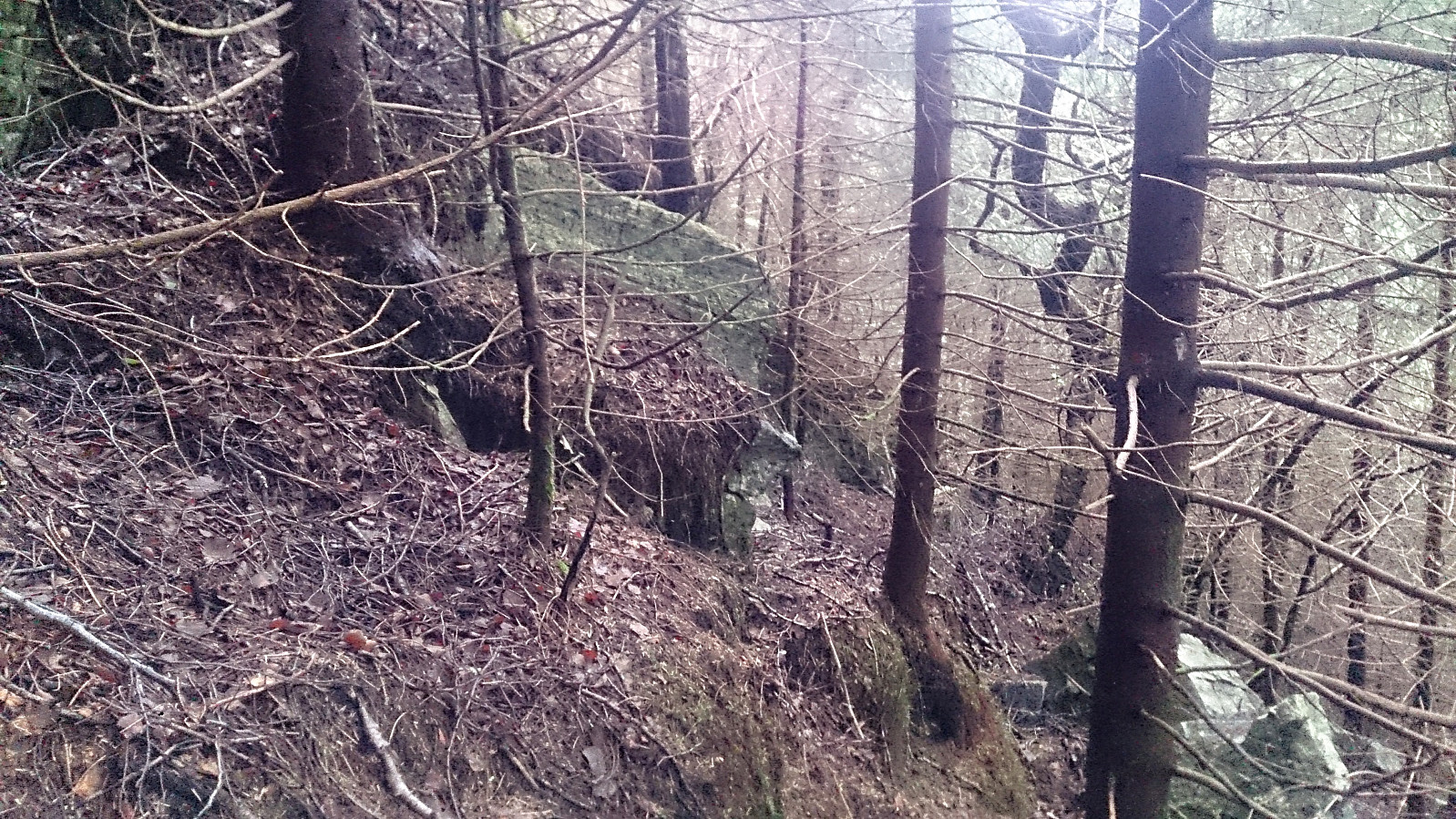
Next was Hovden, a summit I approached with even more reluctance than Bjørndalshovden, and again my worries were not in vain. The start was easy though, following Gullfjellsvegen. Locating a potential starting point for my ascent was more difficult. As I could not clearly tell how dense the forest would become after I left the road, I simply chose a fairly random starting point and headed for the top. Or so I thought. The spruce forest was significantly denser than expected, and I moved more west than south towards the summit. In order to not end up walking too far west, I located what I thought was the most promising gap in between the trees and had a go.
However, the small gap did not continue into the forest, even though there was a deer track in that direction, and I ended up more or less crawling on all fours to make any progress at all. This lasted for quite a while, or at least it felt that way, until I finally made it out into a more open area. From here the progress improved, however I did make a wrong turn following a suddenly appearing trail/animal track, I guess I was just happy finding any trails at all, and ended up at Ramsdalshovden instead. I quickly corrected my mistake though and easily made my way to the correct summit.
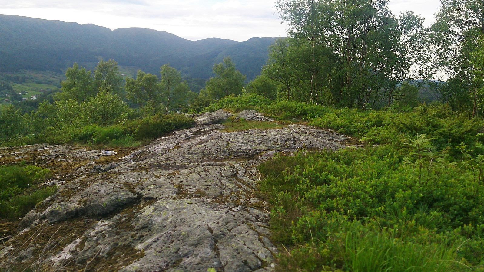
Very limited views from the summit, so I quickly left and started the search for an easier descent. This time I managed to get west of the densest forest, but though this route was dramatically better than my ascent, it was still not very nice and pretty steep at times. In general, I would recommend staying away from this summit altogether. Yet another of those “never again!” peaks…
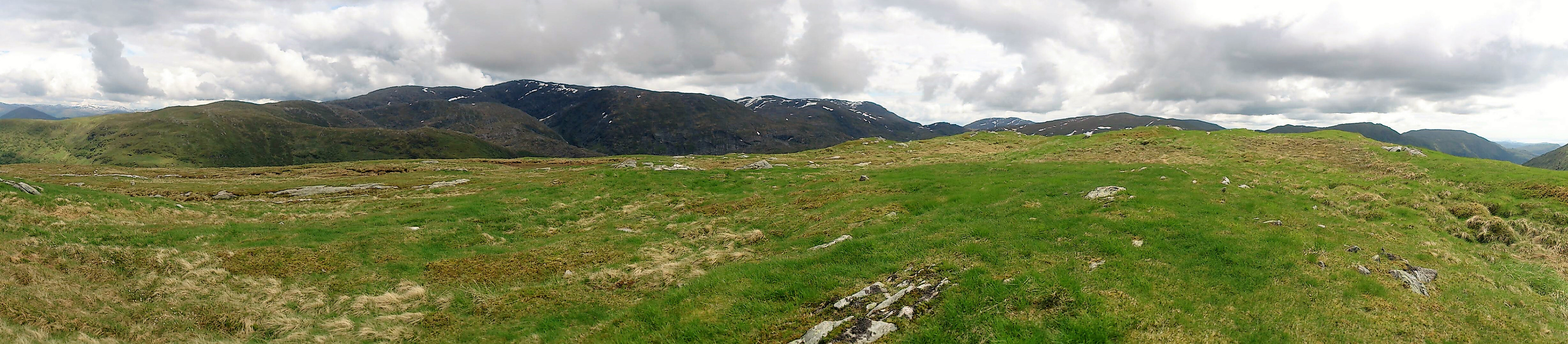
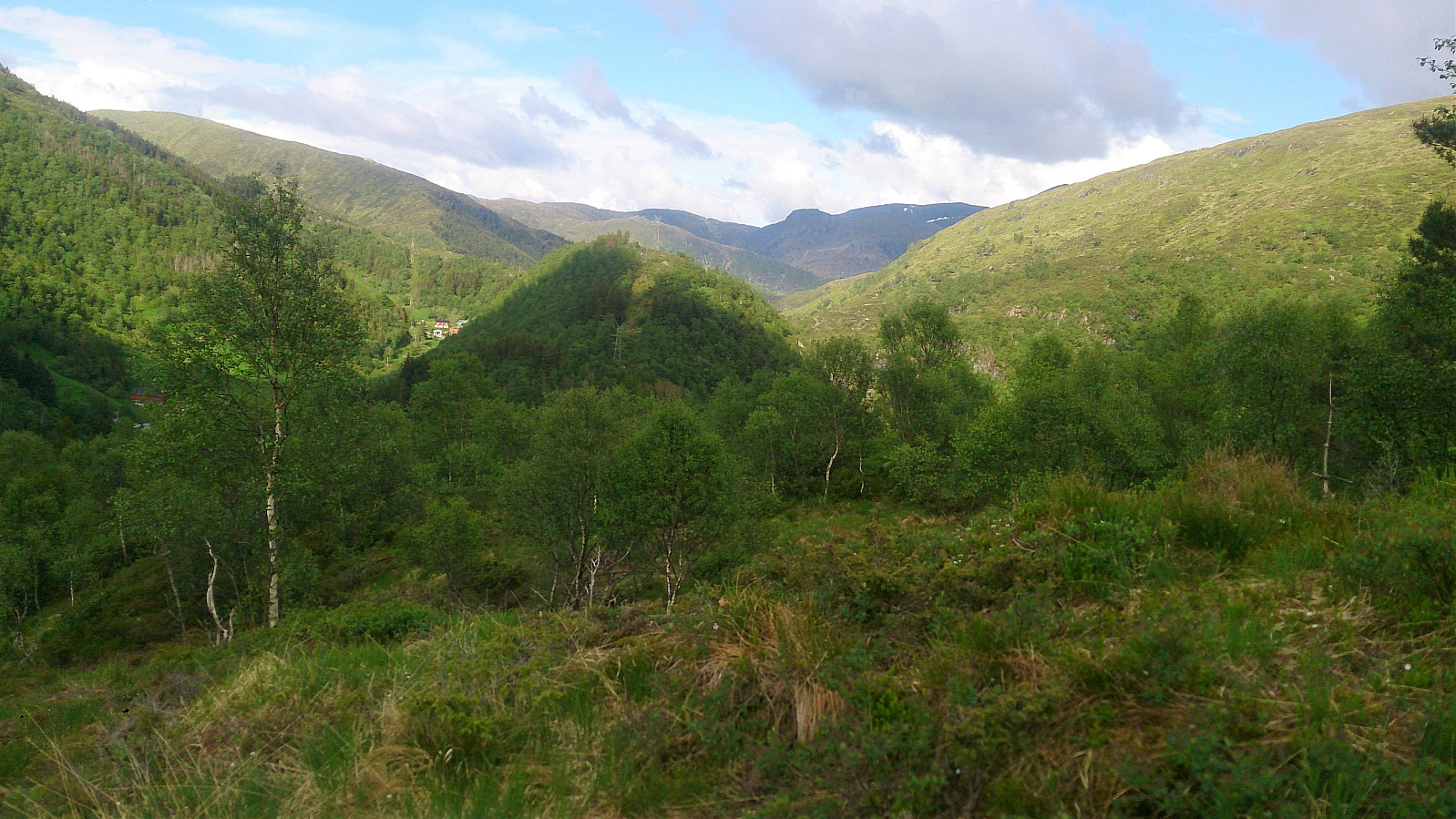
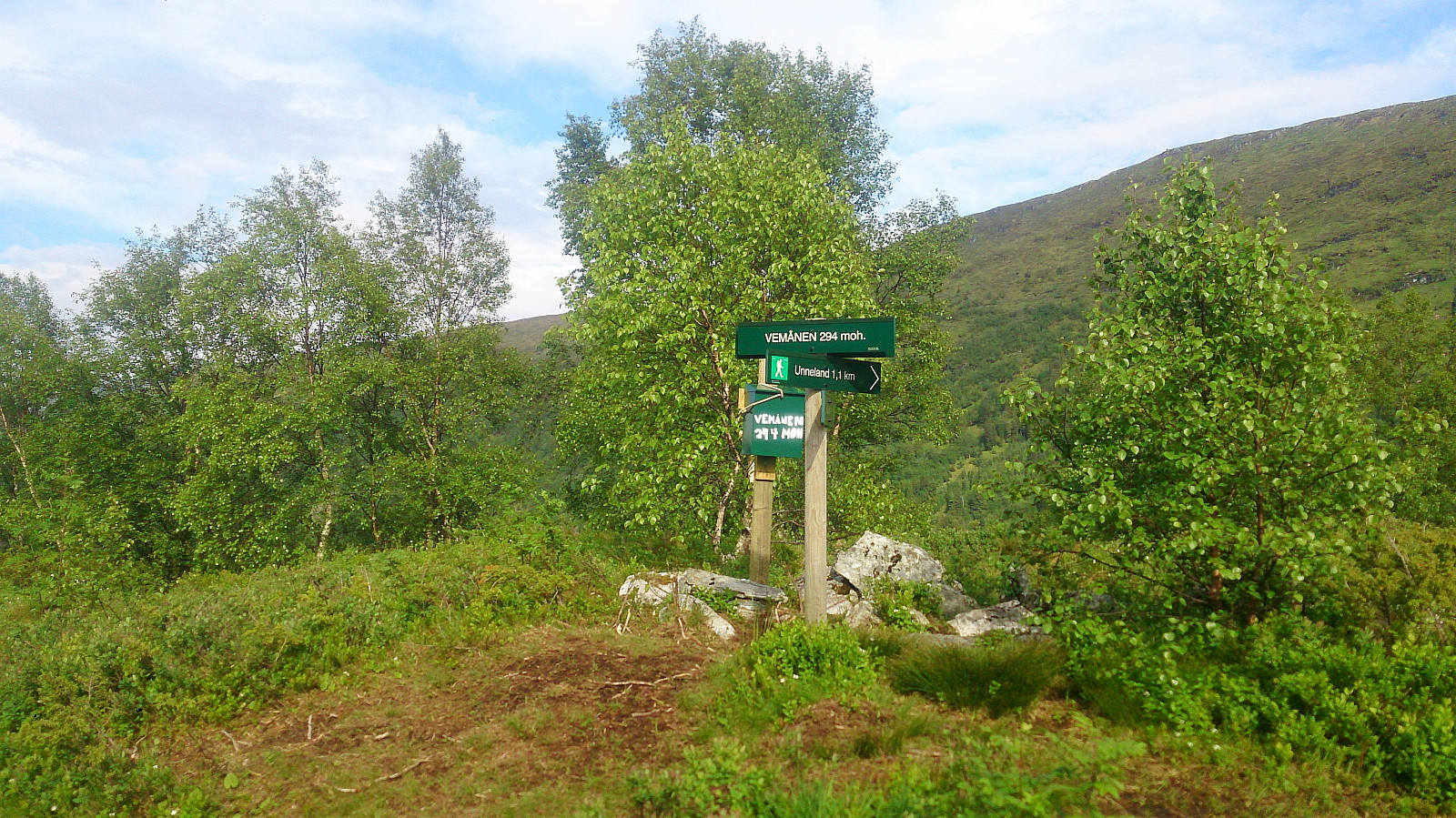
Vemånen
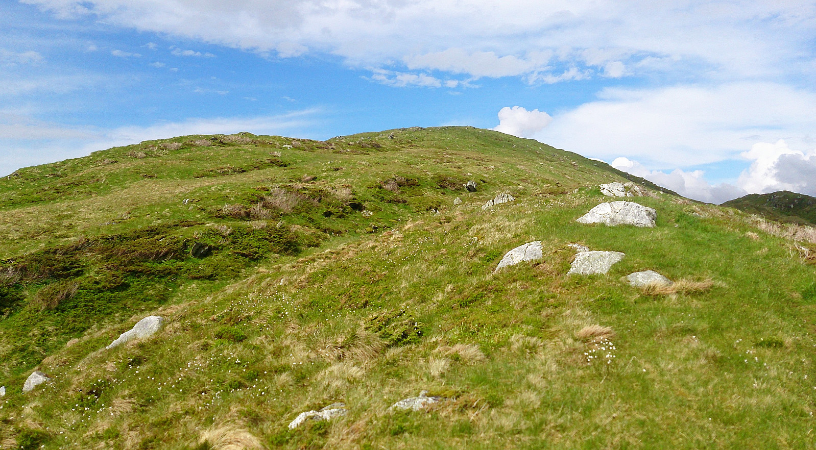
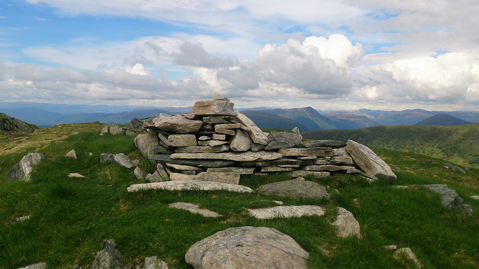
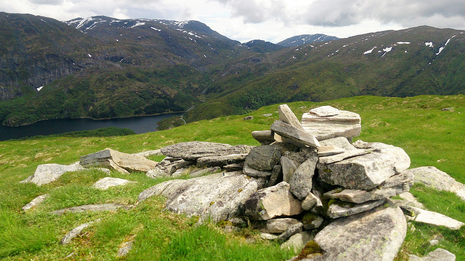
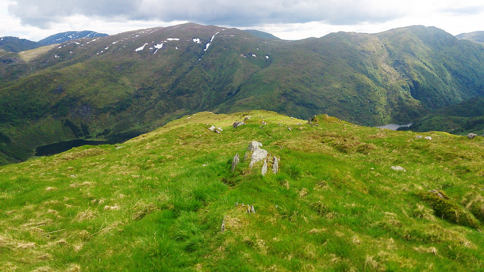
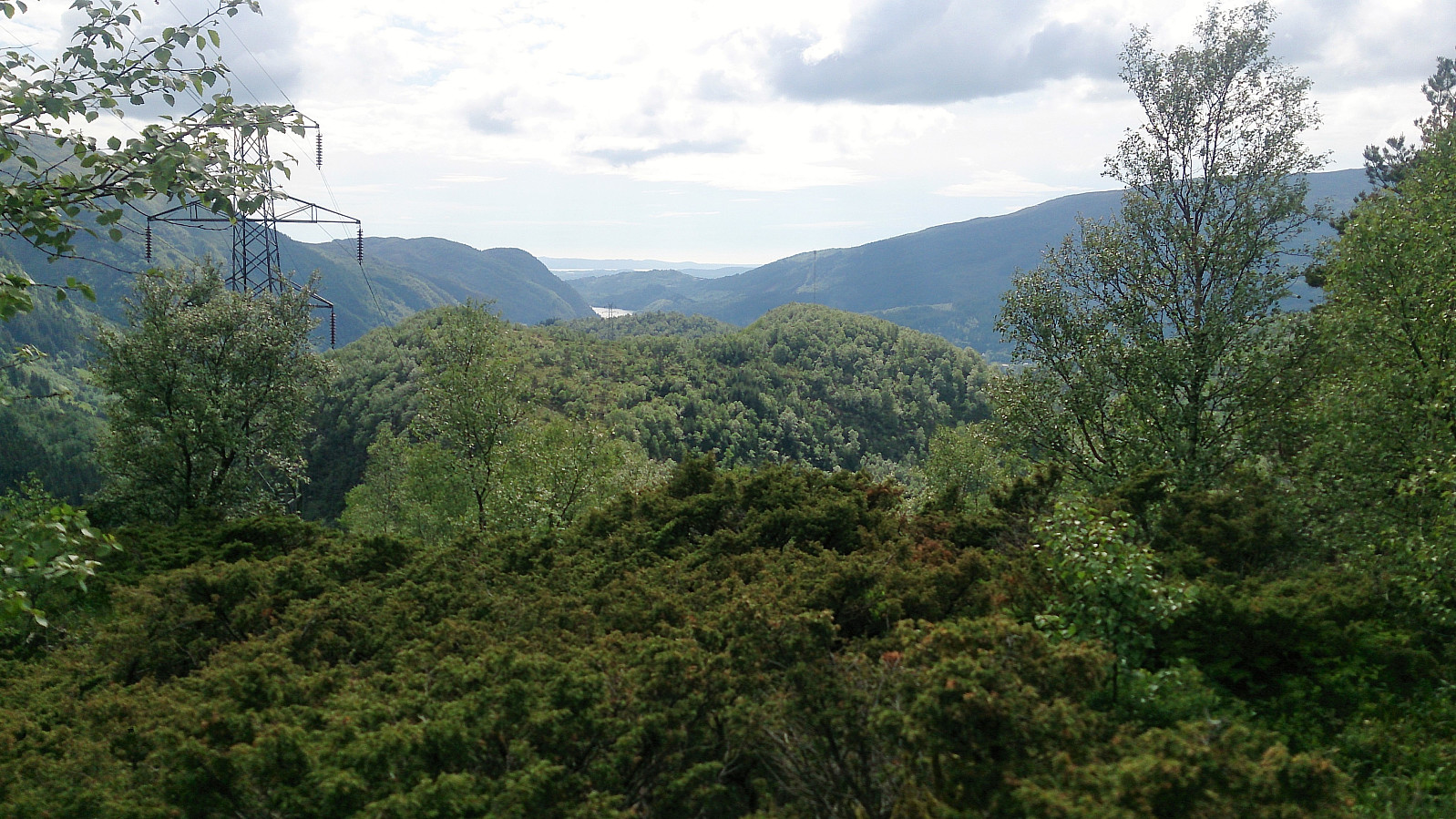
Vemånen was next on the list, and after the two latest summits, it could only get better. I started by following Gullfjellsvegen down to right after where it splits with Moldamyrane. Here I located the trail towards Vemånen, and it felt extremely good to finally be back on a proper trail and to not have to fight the vegetation to make progress. The trail took me along the ridge of the mountain and I quickly arrived at the summit for some nice views. I also continued across the summit for some even better views across Haukelandsvatnet and the surrounding area.
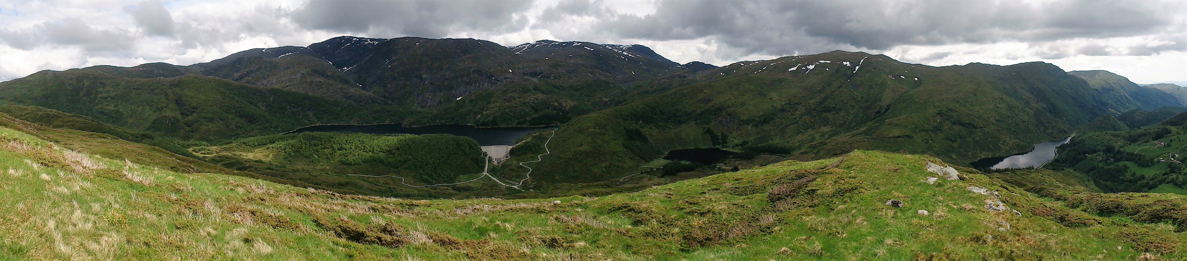
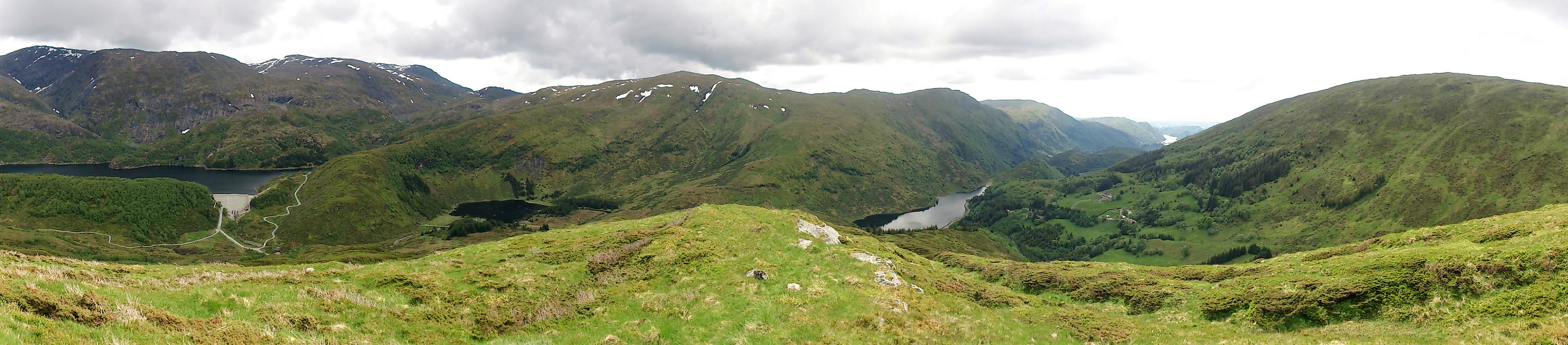
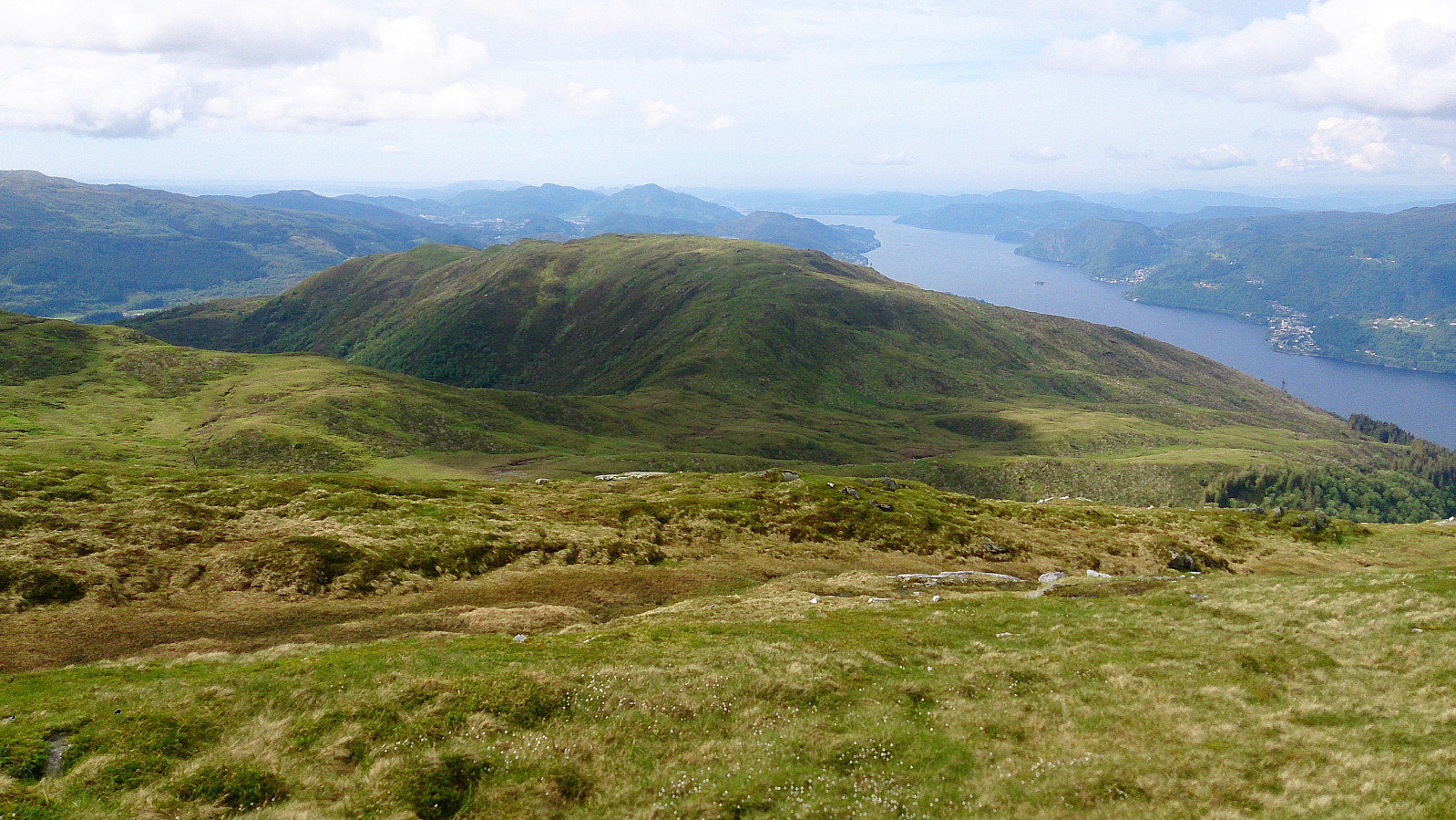
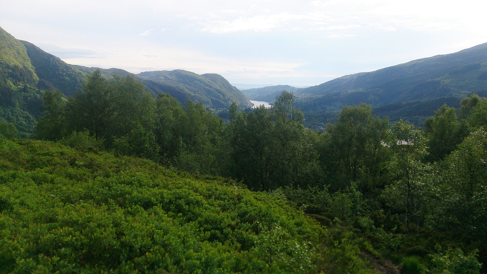
Storoksla
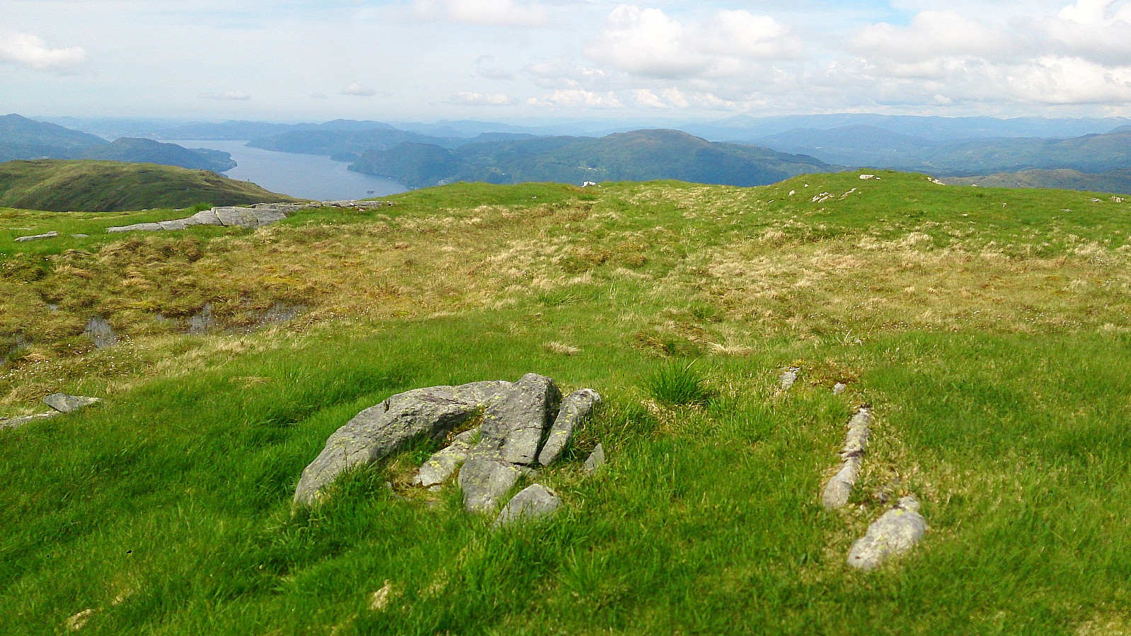
Four down, one to go! The last goal of the day was Storoksla, and from Vemånen I easily located a trail in the right direction (the sign said Leitet). This trail was slightly worse than the trail up to Vemånen, but it was still easy to follow, and I quickly passed over the smaller hill, called Nesheia on the map, to arrive at Storoksla. The views from the summit were nothing special (though perhaps at this stage I was mainly eager to complete the hike). I continued north across the summit, and finally arrived back at Moldahaugene for the short hike back to the bus stop at Espelandshallen.
Conclusion
In summary, the first part of the hike, from Espelandshallen to Osavatnet and up to Herlandsfjellet (or just the round trip from the red cabin to Herlandsfjellet), can be highly recommended. The same cannot be said for Bjørndalshovden and Hovden. Avoid these unless you are extremely keen on completing the “Bergen ≥ 50m pf. og ≥ 100 m.o.h.” list. The final section across Vemånen and Storoksla can however be recommended, especially the hike up to Vemånen.
| Start date | 03.06.2017 13:34 (UTC+01:00 DST) |
| End date | 03.06.2017 19:16 (UTC+01:00 DST) |
| Total Time | 5h 42min |
| Moving Time | 5h 05min |
| Stopped Time | 0h 36min |
| Overall Average | 3.1km/h |
| Moving Average | 3.5km/h |
| Distance | 17.8km |
| Vertical meters | 1,071m |


User comments