
Floråsen and Furekampane (19.05.2017)

Skrevet av hbar (Harald Barsnes)

| Startsted | Ulsmåg skole (70moh) |
|---|---|
| Sluttsted | Elvenesvegen (62moh) |
| Turtype | Fjelltur |
| Turlengde | 2t 52min |
| Distanse | 8,1km |
| Høydemeter | 373m |
| GPS |
|
| Bestigninger | Floråsen (172moh) | 19.05.2017 |
|---|---|---|
| Furekampane (236moh) | 19.05.2017 | |
| Hånuken (233moh) | 19.05.2017 | |
| Andre besøkte PBE'er | Hånuken utsiktspunkt (233moh) | 19.05.2017 |
Floråsen and Furekampane
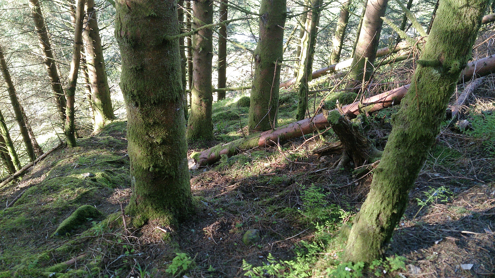
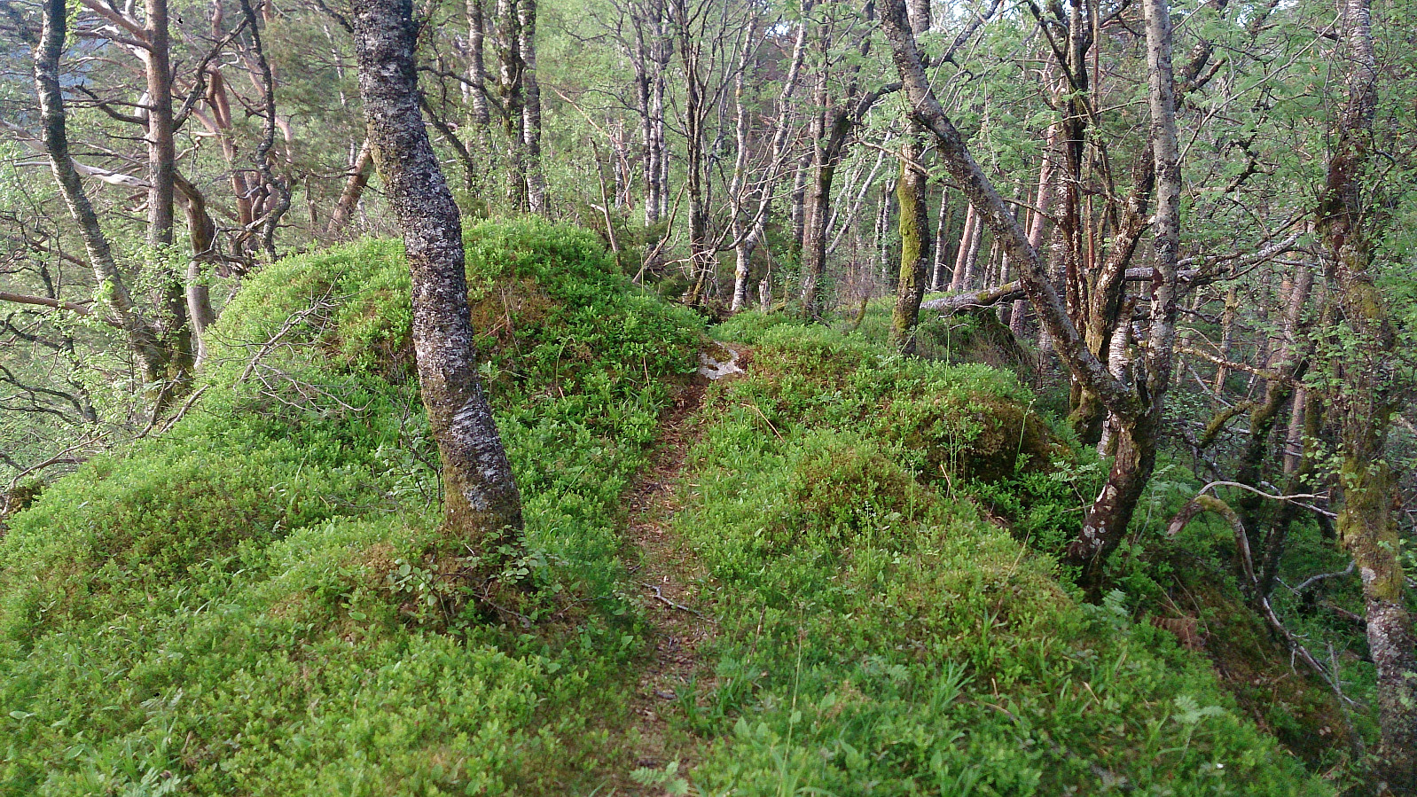
Started by taking the bus to Ulsmåg Skole and walking up Dyngelandsvegen until reaching Dyngelandseidet, which I then followed for ~200 meters while searching for a trail towards Floråsen. I could not find any, and in the end simply started off in what I assumed was the direction of the summit. Getting to the summit was not too difficult, but far from a pleasant experience as it mainly involved fighting with low bushes and trees. Plus lots of cobwebs. There was a trail of sorts when getting through the initial larger trees, but I'm pretty sure this trail is predominantly used by animals. The summit provided no views, and I quickly returned to Dyngelandseidet.
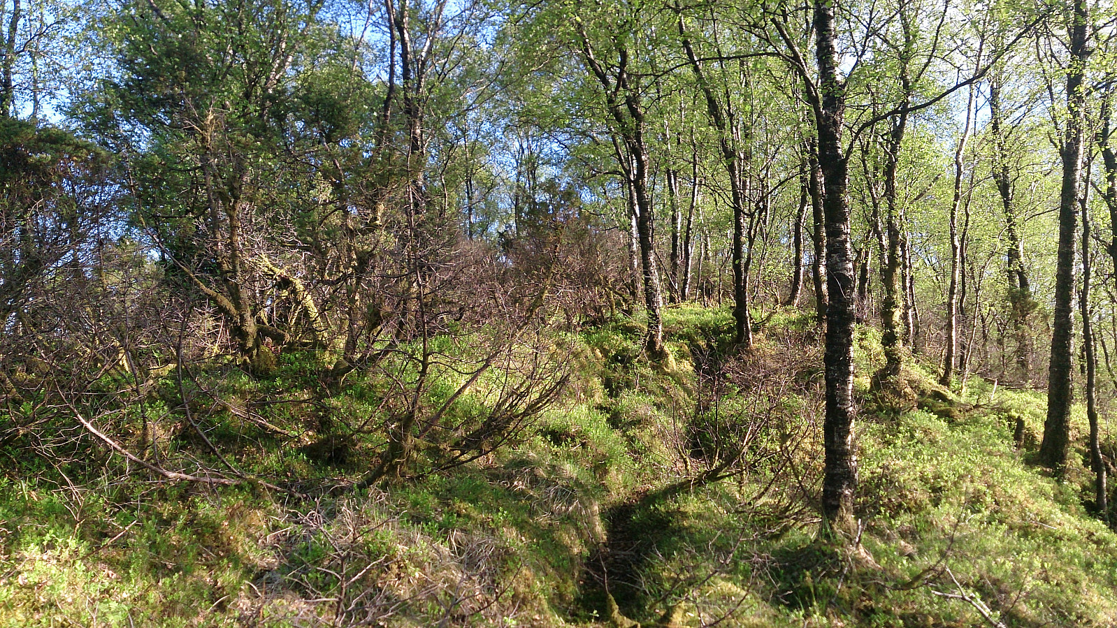
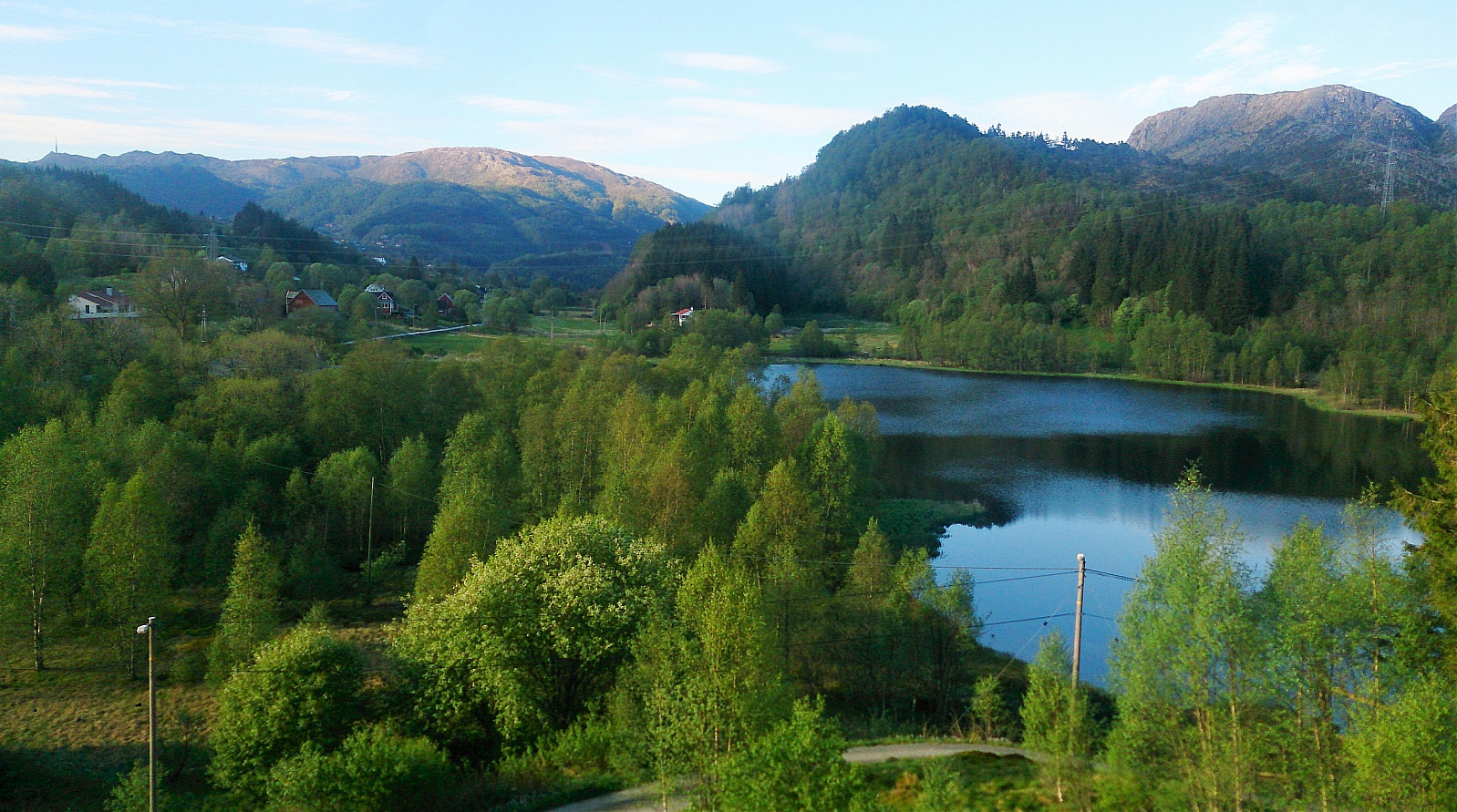
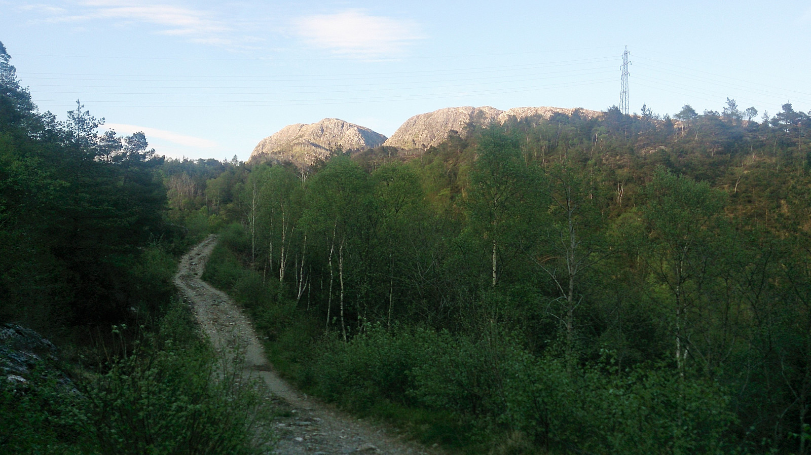
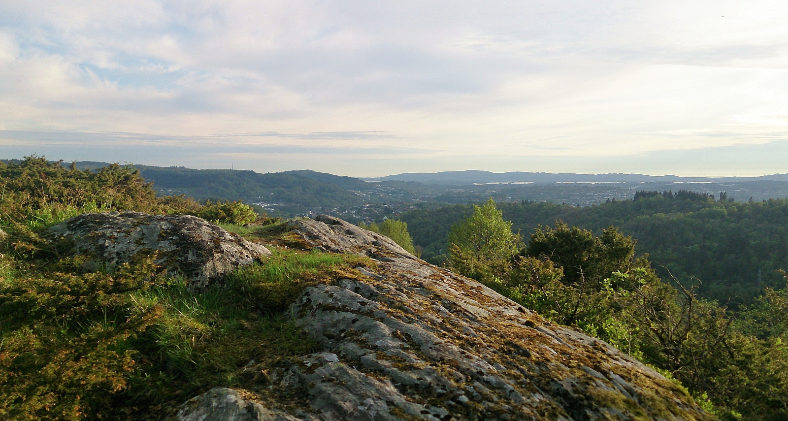
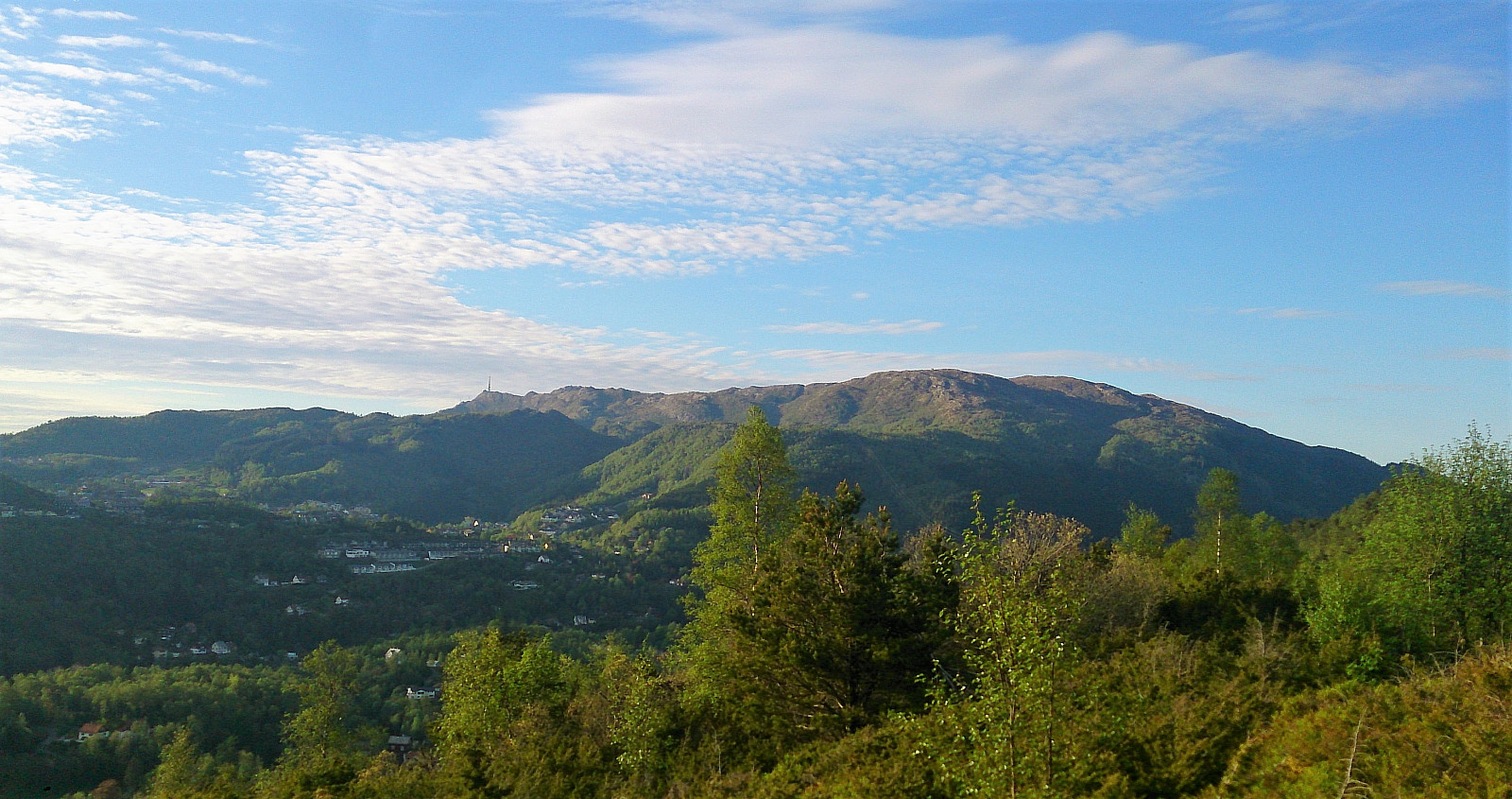
My next goal was Furekampane, and I therefore continued east along the gravel road to Myrdalsvatnet, before following the same road north. I had located a trail on the map that seemed to follow the ridge, though the start of the trail was not indicated. I decided to try going west in the small crossroads in the gravel road, where a separate trail was shown in the direction of Dyngelandsvatnet, assuming that this would enable me to locate the ridge trail. This turned out to be a good idea, although I was a bit too impatient and did not wait long enough before starting north. However, I quickly connected with the trail along the ridge, and I'm pretty sure that if I'd only followed the trail going west just a little bit longer I would have avoided the rather wet shortcut. The trail along the ridge was a very positive surprise. It was easy to follow and even had some great views along the way, in particular at Hånuken utsiktspunkt.
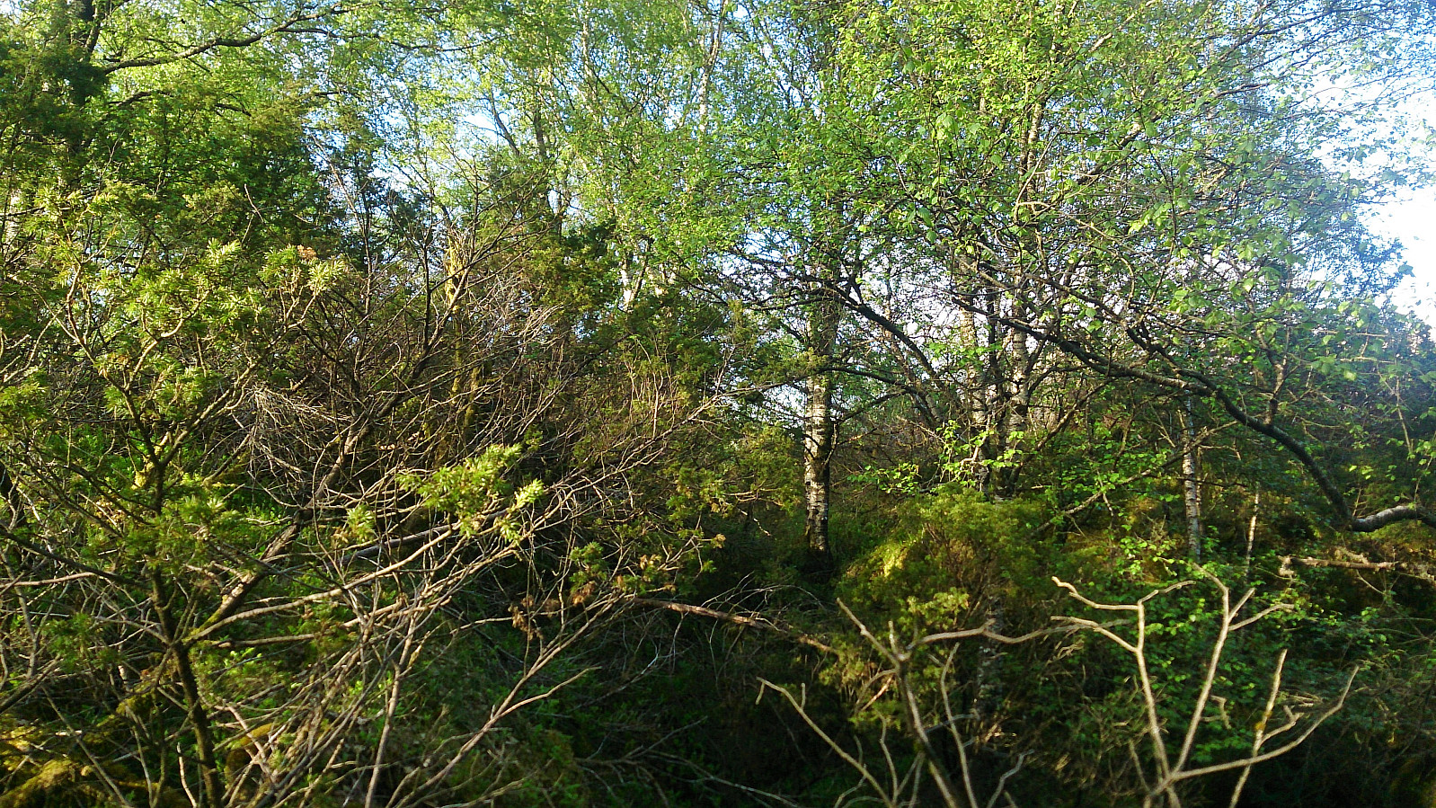
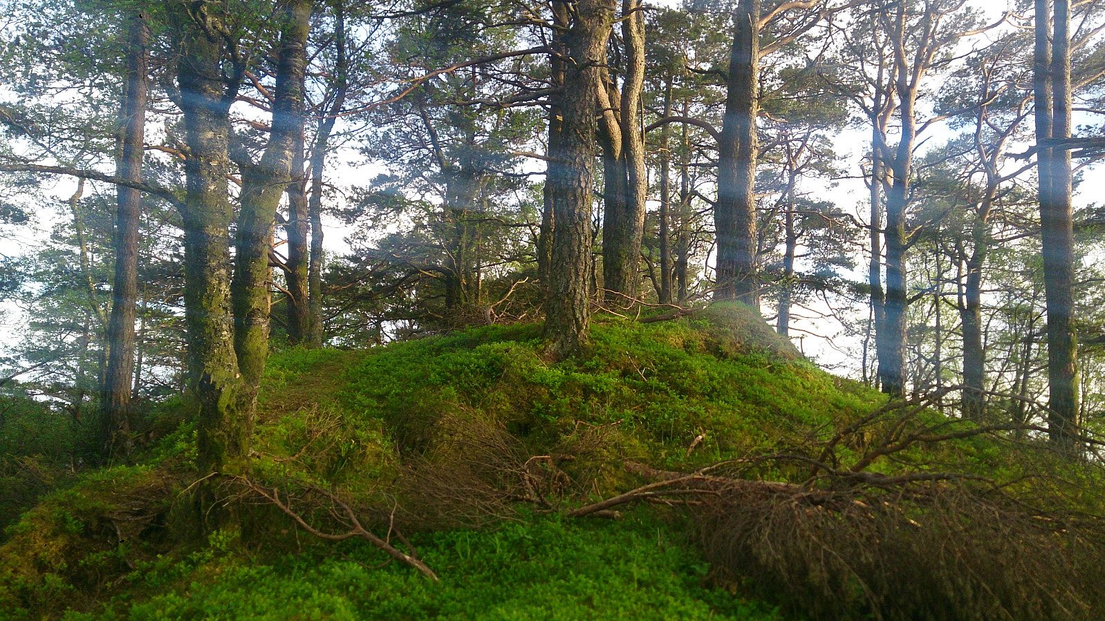
After Hånuken, I continued north along the trail, fearing that it would soon disappear as it was no longer indicated on the map. However, the trail did continue all the way to the summit of Furekampane. Actually, this last part of the trail was perhaps the most beautiful part, as it closely followed the ridge and the surroundings were slightly less dense. The summit itself provided limited views though, but it was still drastically better than Floråsen.
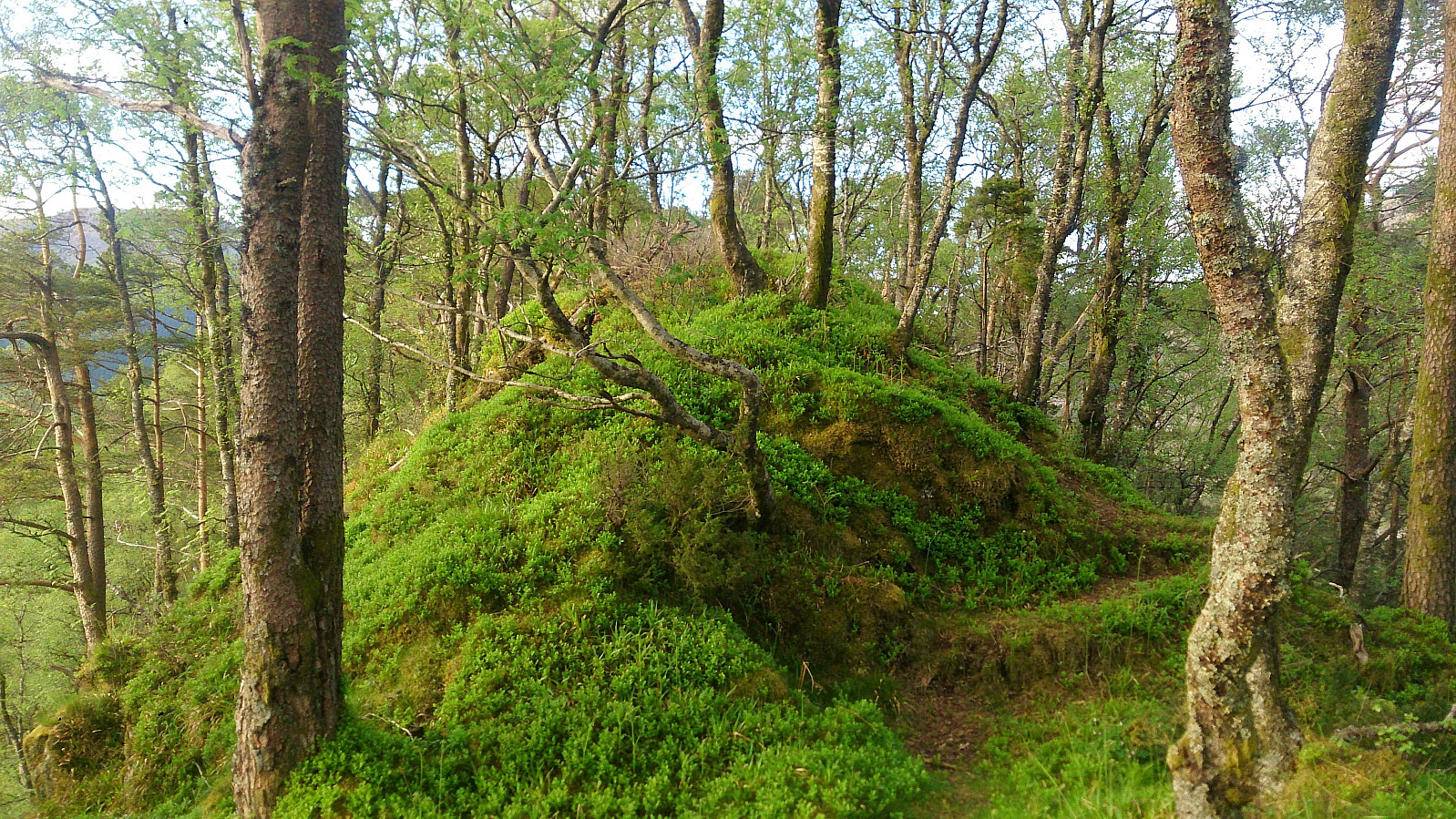
The trail continued north, and I was tempted to go on in that direction, but decided to leave this option for a later time. I did however not follow the same trail back, but instead had a go at a trail indicated on the map heading to Nedre Dyngeland. It was not indicated for more than 100 meters, but while it did get weaker, it could easily be followed all the way down. This trail was far from as nice as the one along the ridge though, and did get quite steep towards the end. It also more or less ended up in someone's backyard, so perhaps following the trail across the ridge is the preferred option. (I also attracted the attention of two dogs before reconnecting with Dyngelandsvegen, but thankfully only the smaller one got close.) The trip was completed by walking along Dyngelandsvegen back to Elvenesvegen, and from there taking the bus back to the city center.
To conclude, this hike started very poorly with Floråsen, which in my mind is not really worth a visit at all, but ended on a very positive note with Furekampane, which I can highly recommend. I would however suggest either using the trail along ridge in both directions, or perhaps continue across the summit.
| Starttidspunkt | 19.05.2017 18:33 (UTC+01:00 ST) |
| Sluttidspunkt | 19.05.2017 21:26 (UTC+01:00 ST) |
| Totaltid | 2t 52min |
| Bevegelsestid | 2t 29min |
| Pausetid | 0t 22min |
| Snittfart totalt | 2,8km/t |
| Snittfart bevegelsestid | 3,3km/t |
| Distanse | 8,1km |
| Høydemeter | 372m |


Kommentarer