
Ramberget, Lysskarfjellet, Høgeåsen and Fanasåta (25.04.2017)

Skrevet av hbar (Harald Barsnes)

| Startsted | Fanafjellet (231moh) |
|---|---|
| Sluttsted | Fanafjellet (233moh) |
| Turtype | Fjelltur |
| Turlengde | 2t 53min |
| Distanse | 7,1km |
| Høydemeter | 343m |
| GPS |
|
| Bestigninger | Fanasåta (284moh) | 25.04.2017 |
|---|---|---|
| Høgeåsen (309moh) | 25.04.2017 | |
| Lyseskarfjellet (313moh) | 25.04.2017 | |
| Ramberget i Fana (300moh) | 25.04.2017 |
Ramberget, Lysskarfjellet, Høgeåsen and Fanasåta
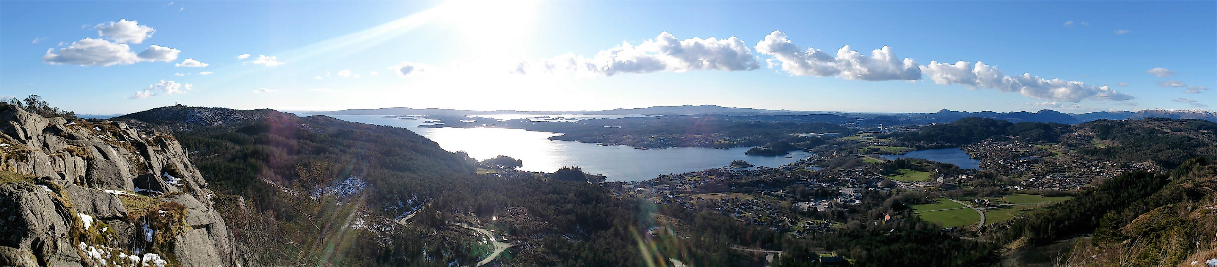

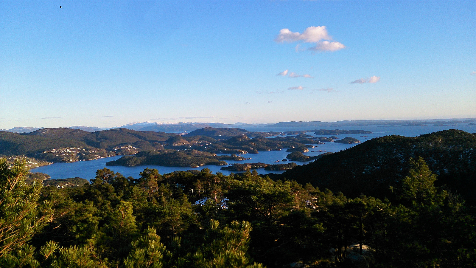
Started by taking the bus to the parking lot at Fanafjellet and walking in the southern direction along the gravel road. I quickly noticed that this was a mistake though, and that I rather should have taken the path right next to the buildings on my right. Instead of going back to the starting point (as there was a fence I thought I should not cross), I took a shortcut through the terrain to connect to the proper trail. I then follow this marked trail to Ramberget for some excellent views.
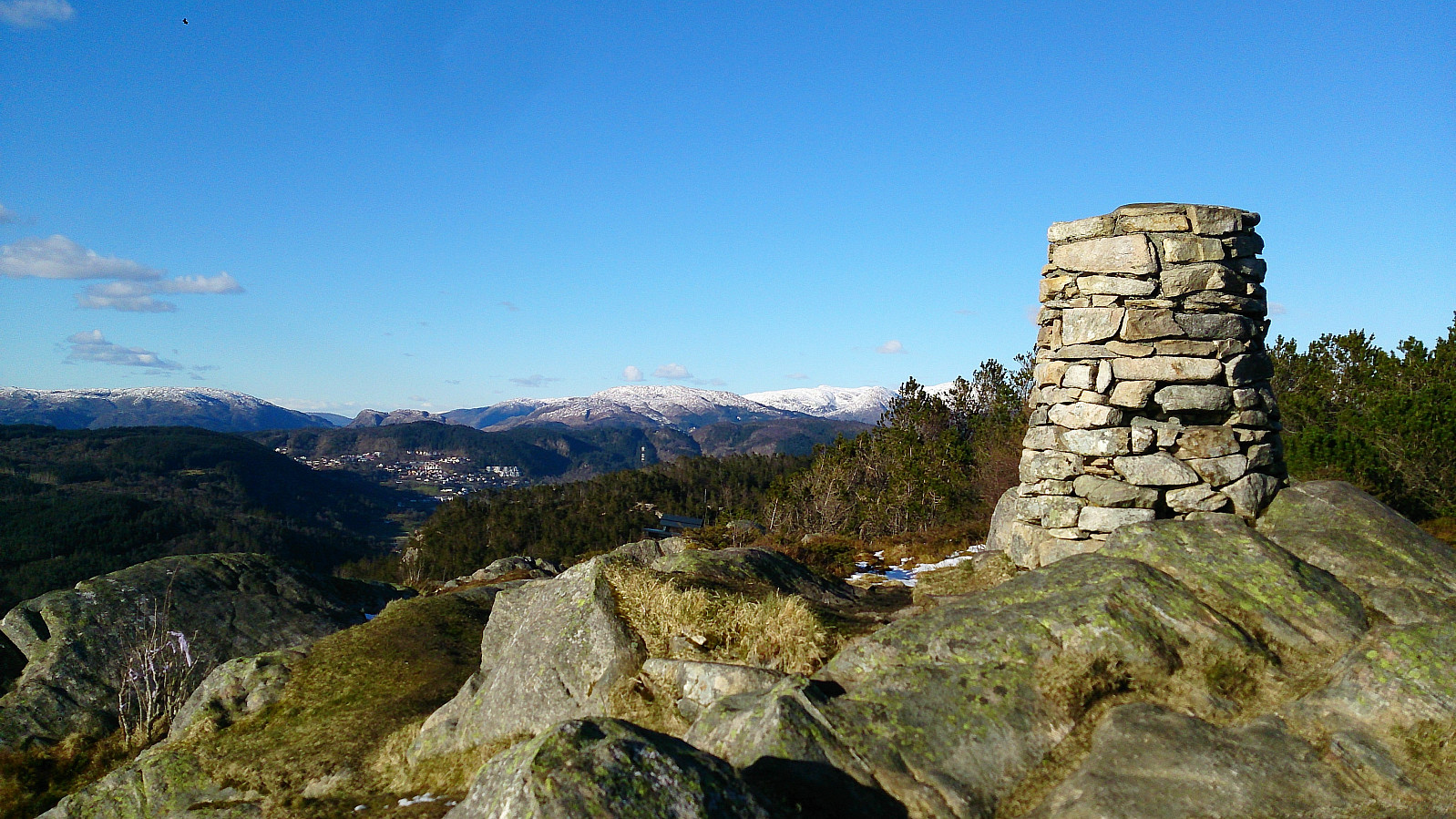
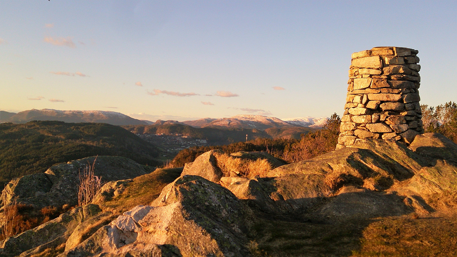
Next, I continued along the marked trail towards Lyseskarfjellet (called "Linken" on all the local signs and hiking maps). The trail was easy to follow, and included stairs to get to the summit at the end, but the trail itself was very muddy. Nice views here as well, but the summit is a bit ruined by what I assume is a military installation. One therefore has to walk around a bit to get the best views in all the different directions.
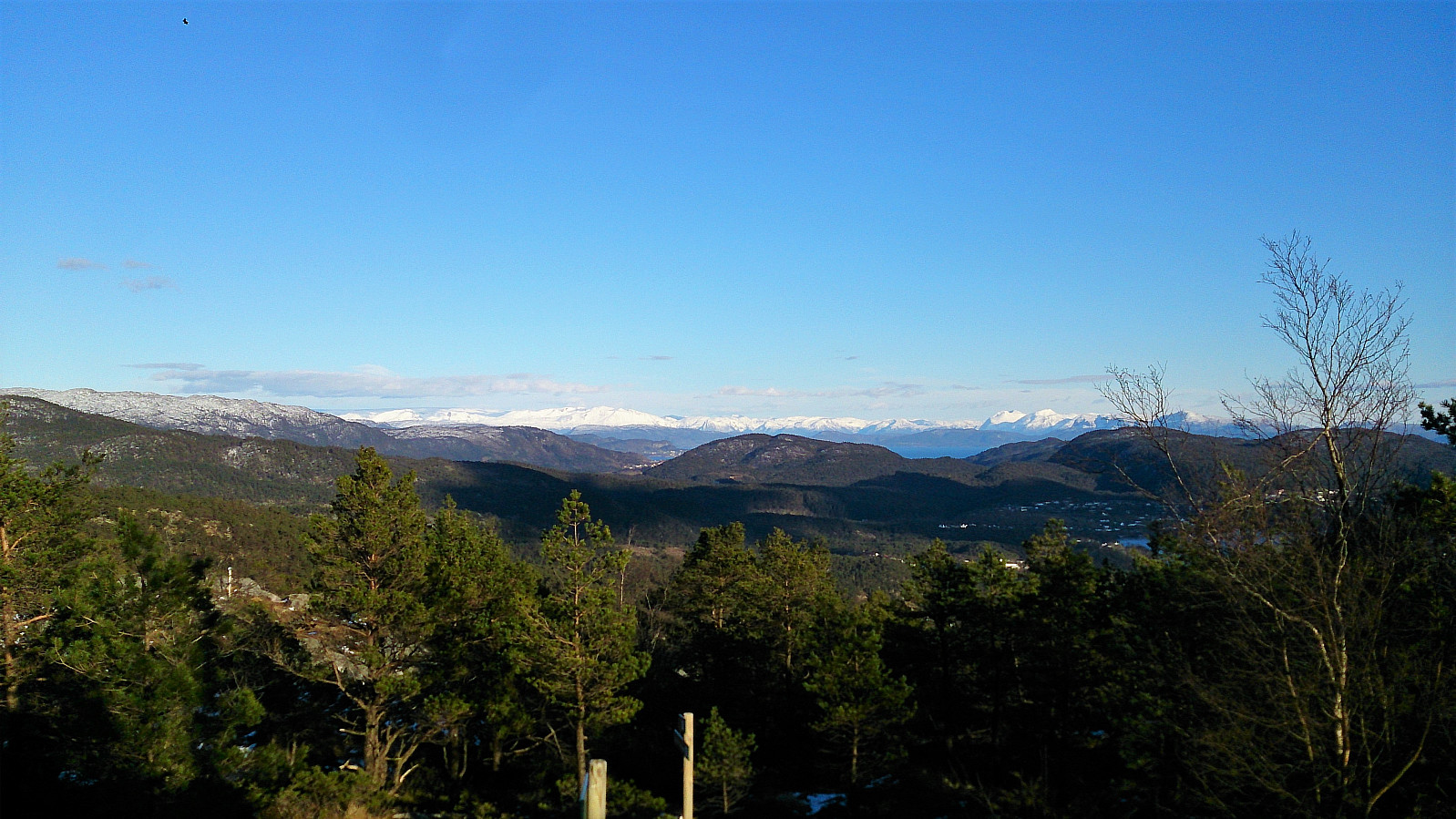
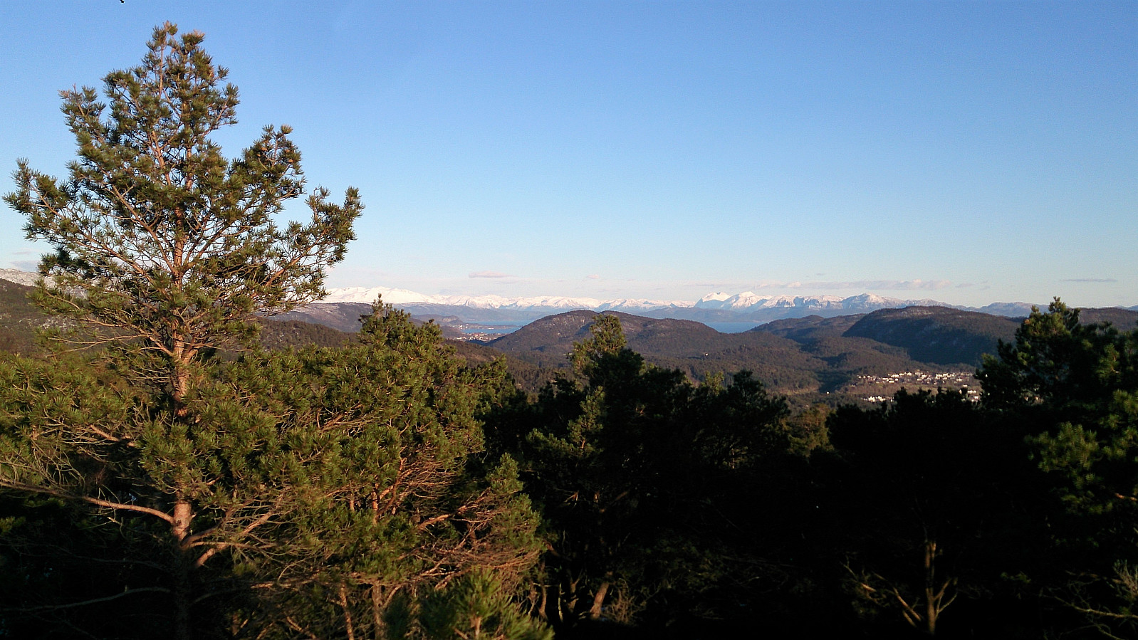
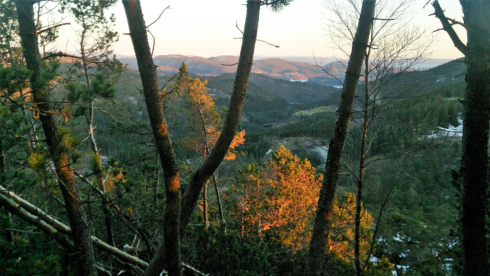
I then doubled back following the same trail, but decided to also go via Høgeåsen on the way. My expectations were not too high when inspecting the peak from a distance, as it looked like the views would be limited due to all the trees. But after finding my way to the summit from the southwest (no proper trails that I could find), the views turned out much better than expected. Not as good as the two previous summits of the day, but still worth a visit.
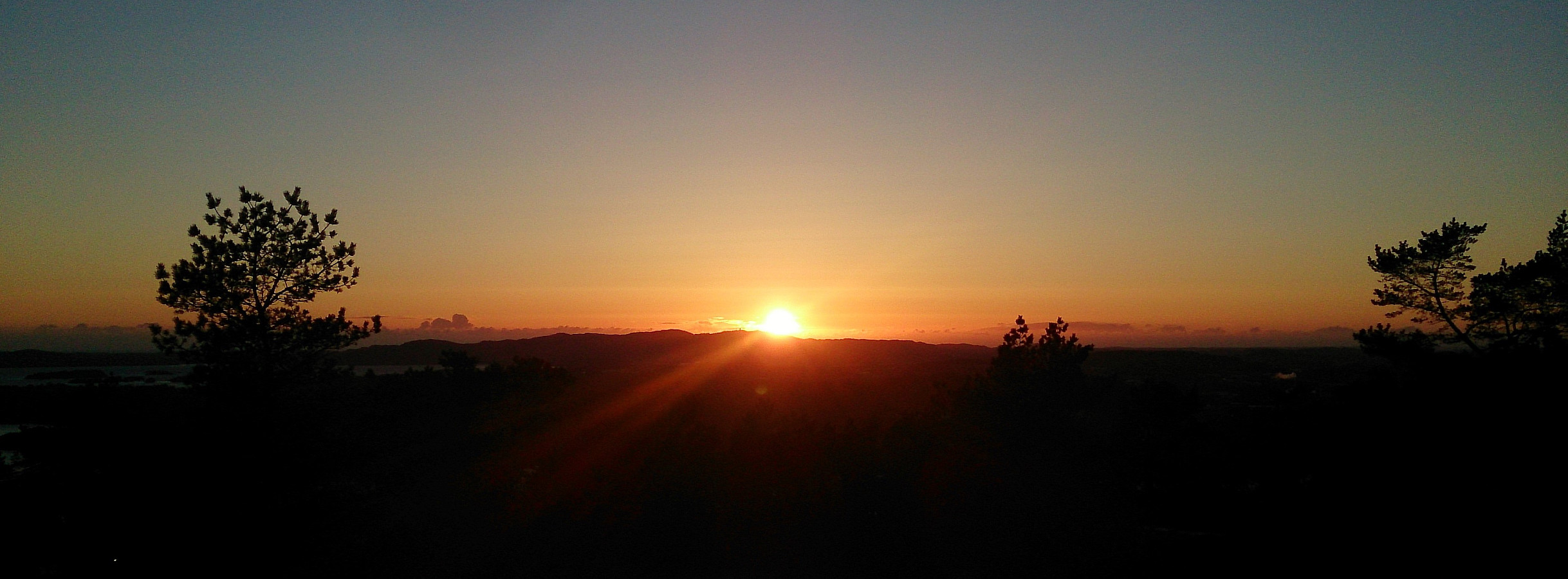
From Høgeåsen I tried to find the quickest route back to the main trail and then followed the same route back to the parking lot at Fanafjellet. When getting there I still had almost half an hour left before the planned bus back to the city center, so I decided to go for a quick visit to Fanasåta. I first followed a forest road before finding a trail that I followed all the way to the summit, just in time for the sunset. The summit itself provided very limited views though, clearly the worst of the day, so I quickly returned to the parking lot for some pictures of the setting sun while waiting for the bus.
Overall, an easy hike with some excellent views. However, the very muddy trails made it less enjoyable than it otherwise could have been.
| Starttidspunkt | 25.04.2017 18:26 (UTC+01:00 ST) |
| Sluttidspunkt | 25.04.2017 21:20 (UTC+01:00 ST) |
| Totaltid | 2t 53min |
| Bevegelsestid | 2t 29min |
| Pausetid | 0t 24min |
| Snittfart totalt | 2,5km/t |
| Snittfart bevegelsestid | 2,9km/t |
| Distanse | 7,1km |
| Høydemeter | 343m |


Kommentarer