
Krossfjellet and Storeknappen (19.02.2017)

Geschrieben von hbar (Harald Barsnes)

| Startpunkt | Frekhaug Terminal (35m) |
|---|---|
| Endpunkt | Frekhaug Terminal (35m) |
| Tourcharakter | Bergtour |
| Tourlänge | 2h 30min |
| Entfernung | 10,5km |
| Höhenmeter | 494m |
| GPS |
|
| Besteigungen | Moldekleivfjell (287m) | 19.02.2017 |
|---|---|---|
| Storeknappen (163m) | 19.02.2017 |
Krossfjellet and Storeknappen
Started by taking the bus to Frekhaug Terminal and locating the road towards Sagstad. I followed this road until getting to the road to Øvre Sagstad and then followed this smaller road until reaching the start of the trail. Note that the road seems to go straight through a private property, but don't worry, you are on the right track and you'll soon see the signs for Krossfjellet.
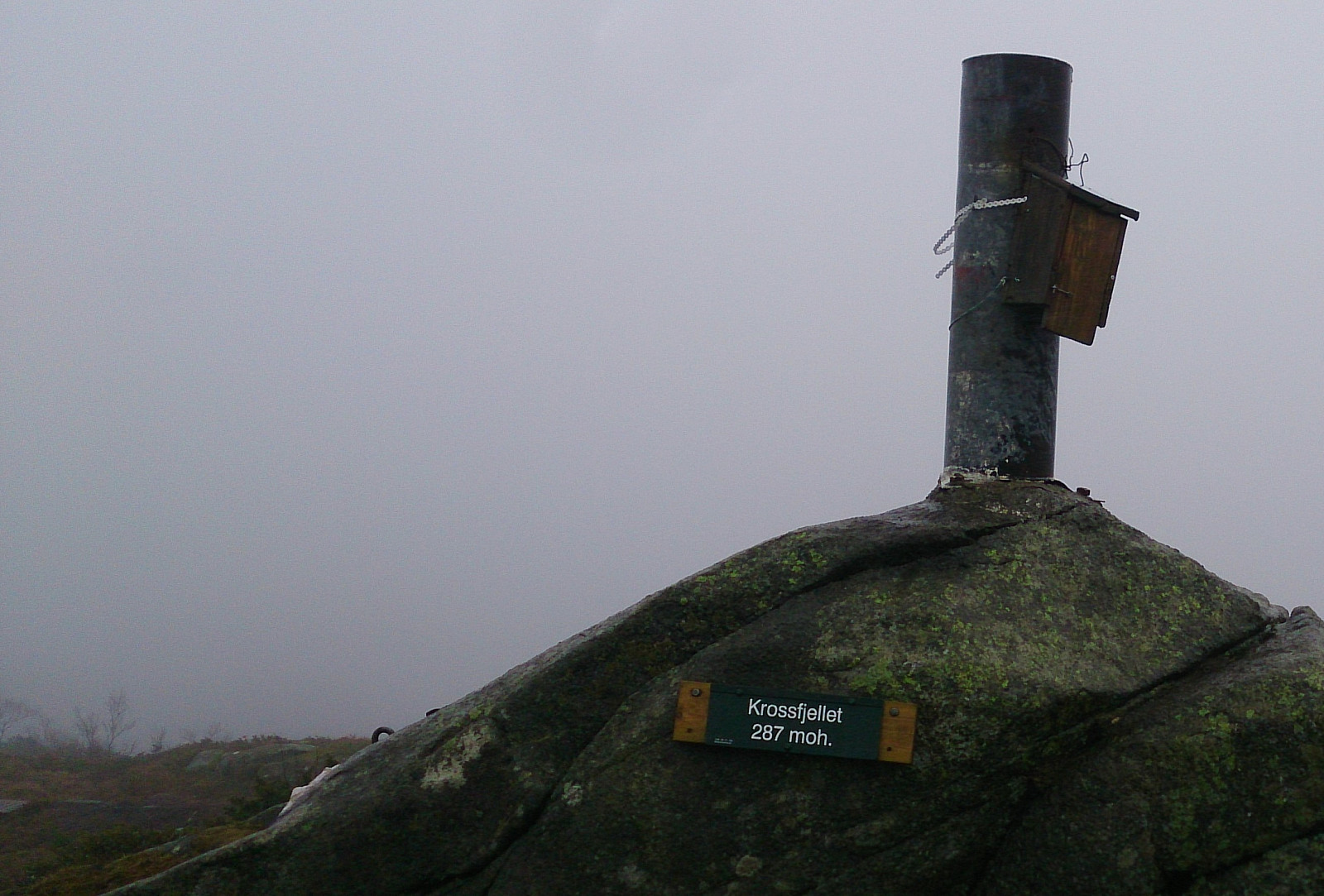
The trail started as a gravel road but halfway to the summit it changed into a smaller but still easy to follow trail. All in all, a nice and fairly short hike. Just too bad that the fog ruined the views completely. On the way back, I decided to swing by Sakstadnuten, but this turned out to be a waste of time as there was no real summit and only very limited views. I therefore decided to not add Sakstadnuten as a separate PB-element.
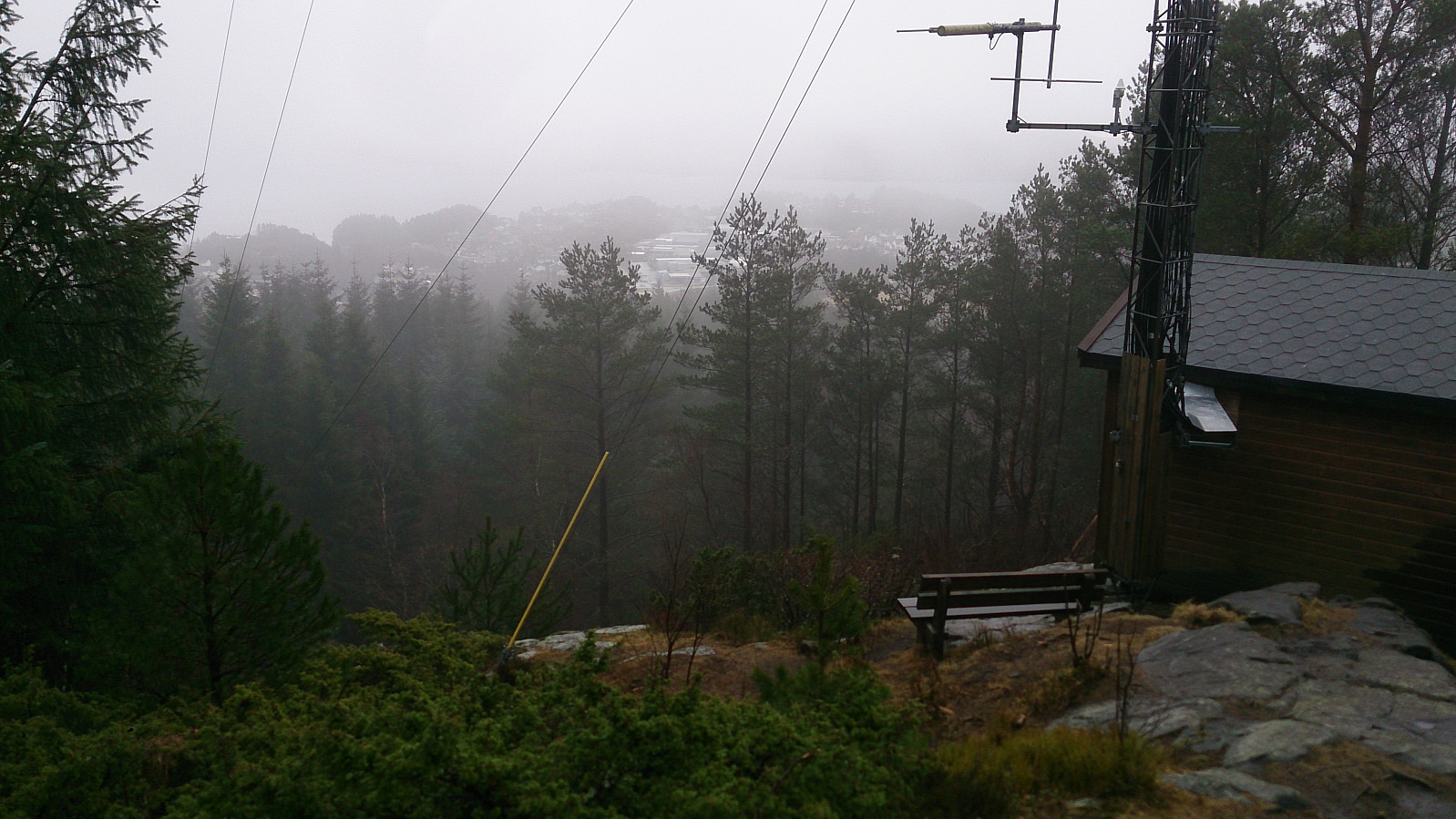
From Sakstadnuten I followed a different gravel road down to where I had left the main road. I then followed the same roads back towards Frekhaug Terminal, but took a minor detour to Torvvegen for a visit of Storeknappen. Note that there are lots of different paths crossing Storeknappen, hence it was not straightforward to pick the fastest/best route without conferring with the GPS. Especially when having a bus to catch at Frekhaug Terminal and with the next bus not until two hours later... :)
| Startzeitpunkt | 19.02.2017 13:49 (UTC+01:00) |
| Endzeitpunkt | 19.02.2017 16:19 (UTC+01:00) |
| Gesamtzeit | 2h 30min |
| Zeit in Bewegung | 2h 25min |
| Pausenzeit | 0h 4min |
| Gesamtschnitt | 4,2km/h |
| Bewegungsschnitt | 4,3km/h |
| Entfernung | 10,5km |
| Höhenmeter | 494m |


Benutzerkommentare