
Ospåsen and Silkesåta (21.01.2017)

Written by hbar (Harald Barsnes)

| Start point | Åsebø (52m) |
|---|---|
| Endpoint | Ravnanger nord (34m) |
| Characteristic | Hillwalk |
| Duration | 2h 28min |
| Distance | 7.3km |
| Vertical meters | 323m |
| GPS |
|
| Ascents | Ospåsen (168m) | 21.01.2017 |
|---|---|---|
| Silkesåtene (105m) | 21.01.2017 |
Ospåsen and Silkesåta
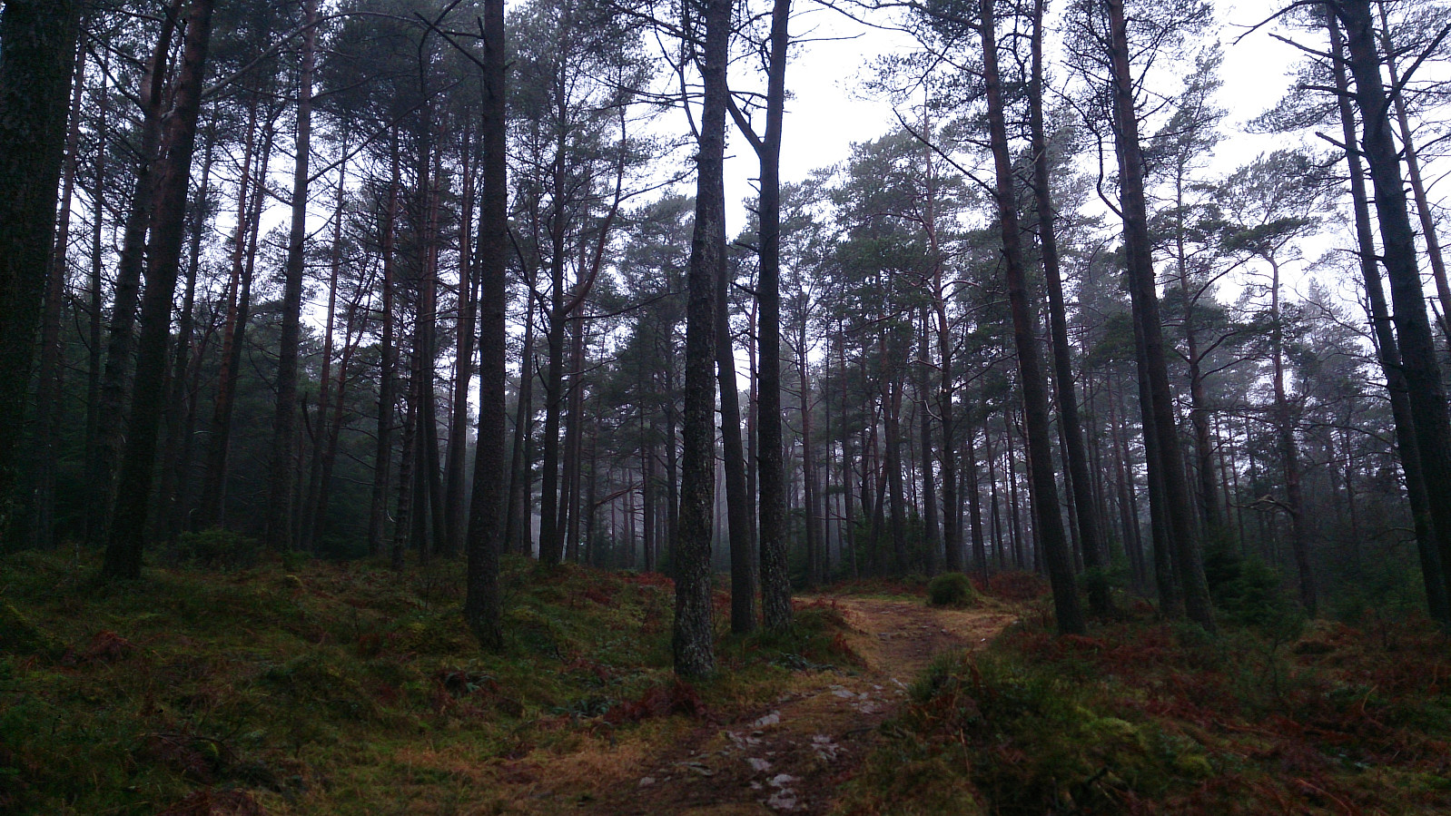

Another trip to Askøy to complete the "Askøy ≥ 100m pf." list. Today the goal was Ospåsen, and I started by taking the bus to Åsebø and from there easily followed the road, and later forest road, to the summit of Ospåsen. The weather was not my friend today though, with quite dense fog, ruining all potential views from the summit.
From Ospåsen I continued south towards Lonevatnet, all the time following trails in a quite dense forest, but as there were so many trails to choose from, picking the right/best one was not always straightforward.
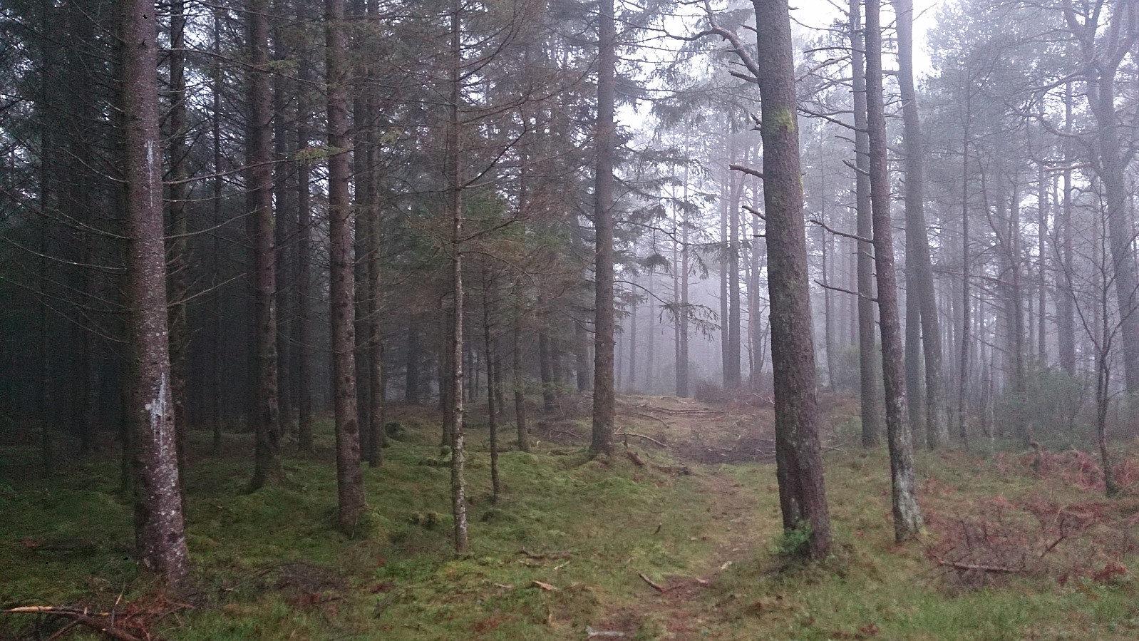
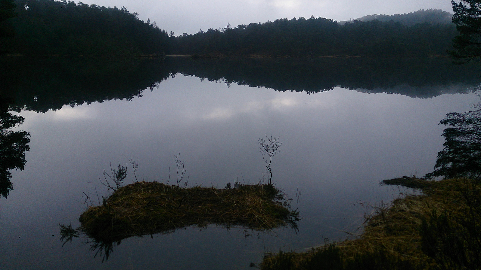
However, in the end I arrived at Lonevatnet and Rv. 562, and crossed the highway to start looking for a path to Silkesåta. I found some trails to follow to what is indicated as Silkesåta on the map. Nothing to see from the summit but trees, and I quickly continued towards Fallekråna.
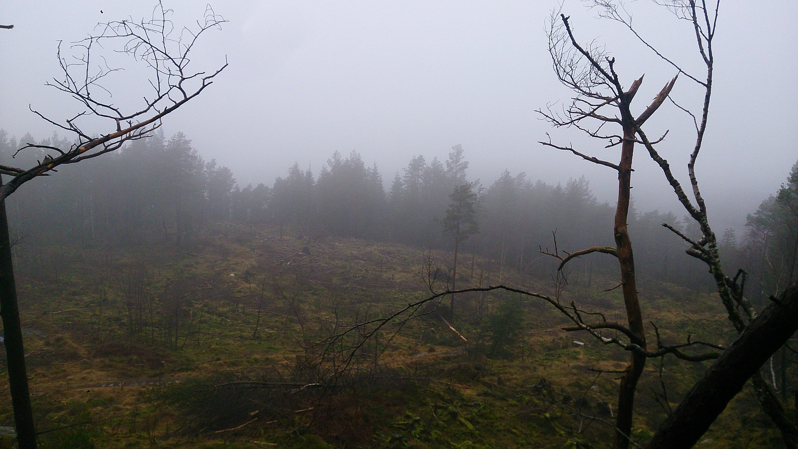
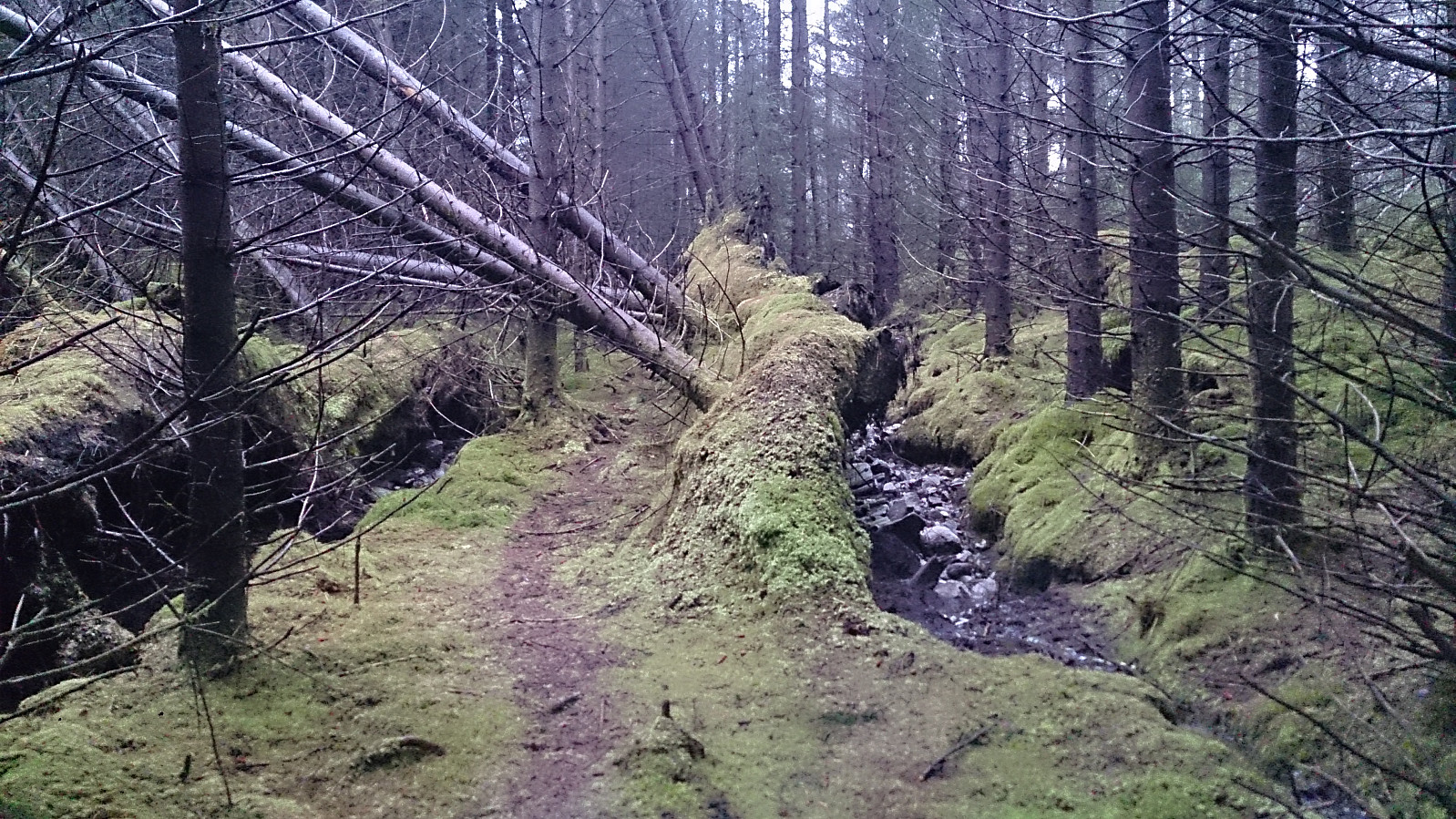
Next, I continued towards Ravnangerveien, but lost the trail on the north side of Fjellstovehaugen, and as I figured out on my previous trips to Askøy, the terrain at Askøy is not really made for walking outside of the trails (see picture). After a while, I luckily managed to relocate the trail and could then easily find my way down to the bus stop at Ravnangerveien for the end of the hike.
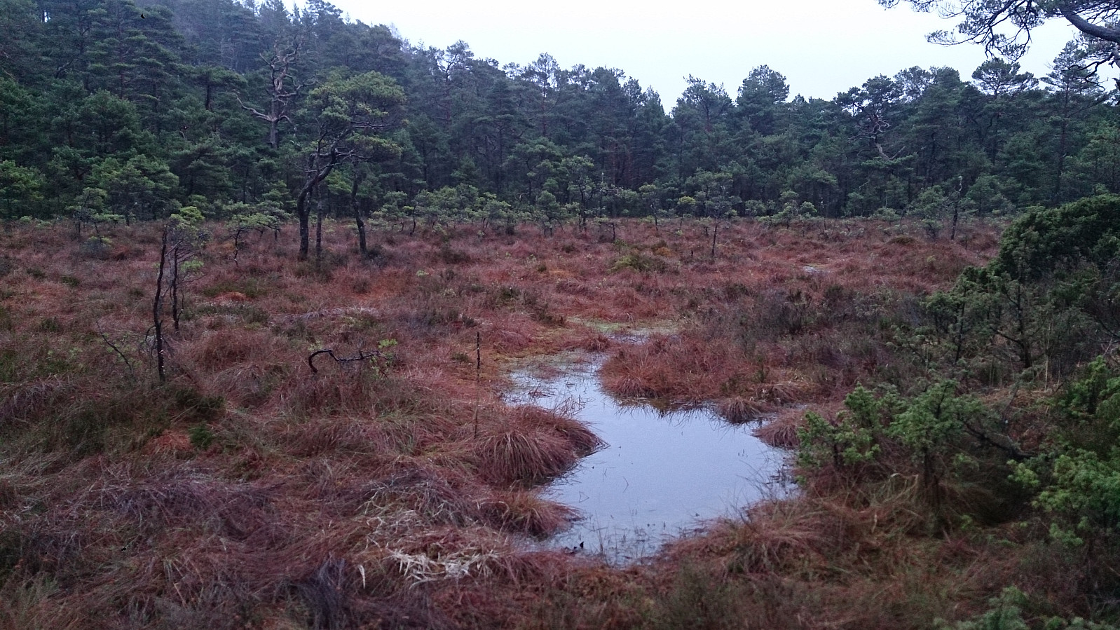
Overall, not a very nice hike and very limited views, made worse by the fog, but to be honest I don't think better weather would have made a big difference for most of this hike.
| Start date | 21.01.2017 13:28 (UTC+01:00) |
| End date | 21.01.2017 15:57 (UTC+01:00) |
| Total Time | 2h 28min |
| Moving Time | 2h 19min |
| Stopped Time | 0h 9min |
| Overall Average | 2.9km/h |
| Moving Average | 3.1km/h |
| Distance | 7.3km |
| Vertical meters | 323m |


User comments