Borga from Hardbakkedalen (16.10.2016)

Written by hbar (Harald Barsnes) GSM

Start point Årstadveien
Endpoint Lønborg
Characteristic Hillwalk
Map
Ascents Borga (634m) 16.10.2016
Grønetua (642m) 16.10.2016
Rundemanen (568m) 16.10.2016
Vardegga (637m) 16.10.2016
Visits of other PBEs Grensestein i Borgaskaret (530m) 16.10.2016
Borgeskarhytten (ruin) (448m) 16.10.2016
Hardbakka (ruin) (220m) 16.10.2016
Solhaugen søyle (107m) 16.10.2016
Vikinghytten (590m) 16.10.2016

Borga from Hardbakkedalen

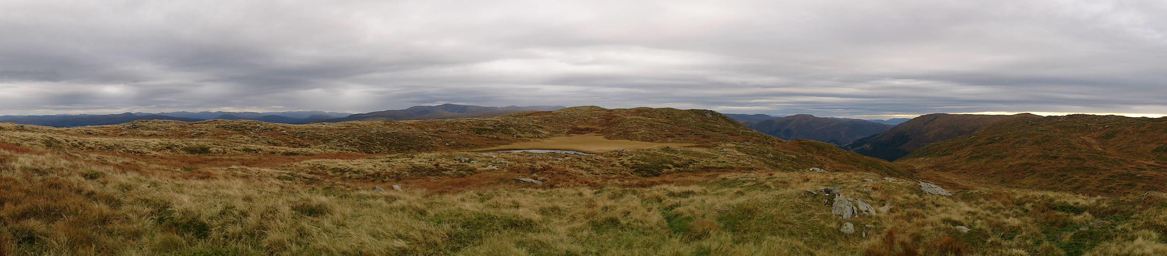
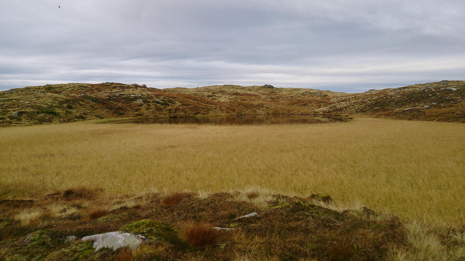
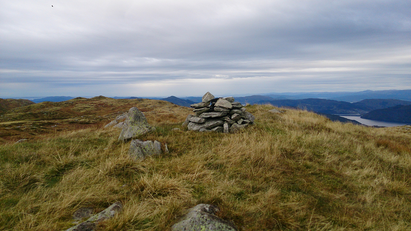
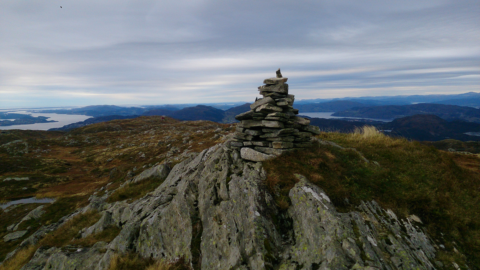
Started from Svartediket and from there hiked up Hardbakkedalen to get to Borgaskaret. There I followed the trail towards Grønetua, but before reaching Grønetua I turned east on a trail towards Borga. But as far as I could tell, the trail did not head to the summit of Borga, so after a while I decided to rather try the quickest route to the top, entering the Borga plateau at the northwest corner. From there I could easily follow an unmarked trail to the summit. From the summit I followed more or less the same route back to Grønteua and from there passed by Vikinghytten, before crossing Rundemanen on the way to the city center.

View towards the summit of Borga
Deilevatnet northwest of the summit of Borga
The cairn at the summit of Borga
View from Borga towards Hauggjeldsvarden
The cairn at Grønetua

User comments

Comment title:
Characters left: 1000
Comment text:
You need to be logged in to write comments.