
Knappenfjellet to Nipedalen (15.10.2016)

Written by hbar (Harald Barsnes)

| Start point | Straume Bro |
|---|---|
| Endpoint | Lyngbø |
| Characteristic | Hillwalk |
| Map |
|
| Ascents | Eldtona (128m) | 15.10.2016 |
|---|---|---|
| Knappen (135m) | 15.10.2016 | |
| Visits of other PBEs | Tennebekktjernet (95m) | 15.10.2016 |
| Tennebekktjørna p-plass (100m) | 15.10.2016 |
Knappenfjellet to Nipedalen
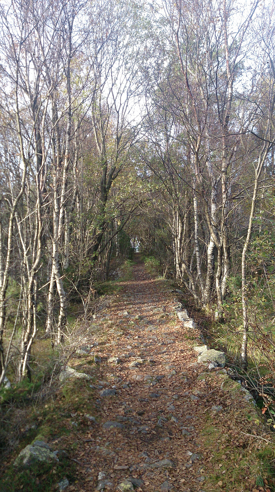
Started by taking the bus to Straume Bro and from there walking towards Hesthaugen for the real start of the hike. I followed the trail across Knappenfjellet and continued down to Gjeddevatnet and onwards along the main road to the end of Bjørndalsvatnet, where I found a trail taking me through the forest via Svartatjørna and Tennebekktjørna to Nipedalen, and finally down to Lyngbø for the bus back to the city center.
See this hike for a GPS track of the same route.


User comments