
Grøntua and Festeråsen (19.11.2016)

Geschrieben von hbar (Harald Barsnes)

| Startpunkt | Loddefjord terminal (2m) |
|---|---|
| Endpunkt | Loddefjord terminal (5m) |
| Tourcharakter | Bergtour |
| Tourlänge | 1h 39min |
| Entfernung | 7,5km |
| Höhenmeter | 269m |
| GPS |
|
| Besteigungen | Festeråsen (164m) | 19.11.2016 |
|---|---|---|
| Grøntua (181m) | 19.11.2016 | |
| Besuche anderer PBE | Festeråsen søyle (160m) | 19.11.2016 |
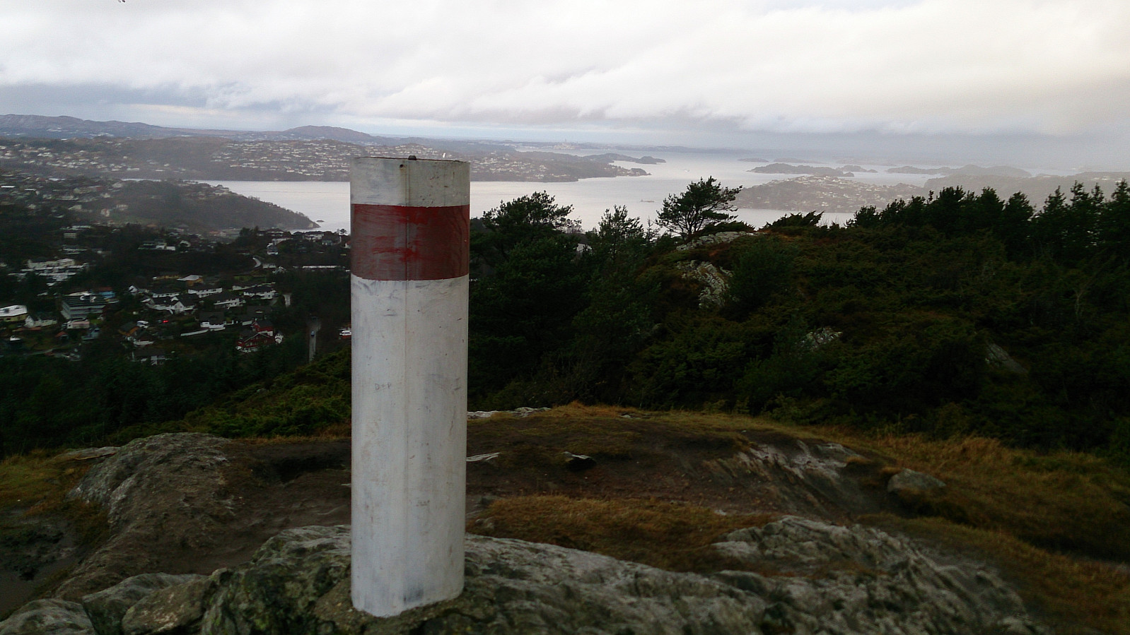
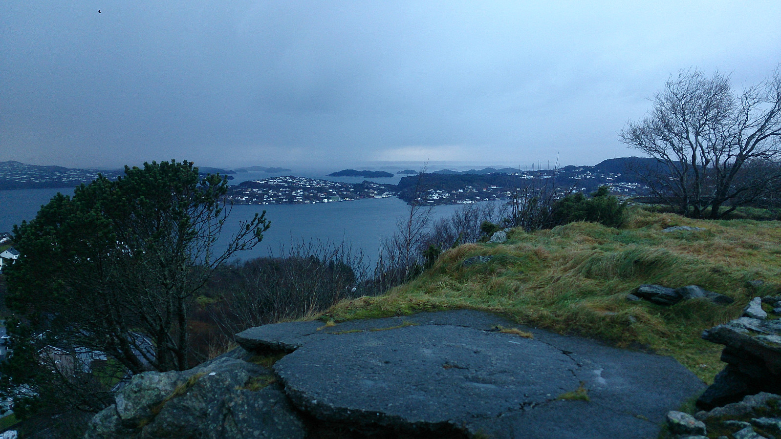
Grøntua and Festeråsen
Took the bus to Loddefjord Terminal and walked up towards Kjøkkelvikveien and onto Olsvikskjenet before locating a trail I assumed was heading to the top of Grøntua. After only a couple of minutes I was at the summit. I then continued towards Festeråsen, passing by Olsvik Kirke and crossing Olsvikskjenet, before following the road to Festeråsen.
From the summit of Festeråsen I made a U-turn and followed Olsvikskjenet until I reconnected with the trail to Grøntua. Note that a major part of this section consisted of walking along the main road with no sidewalk. (Pretty sure there are better alternatives though, such as the smaller roads in between the apartment buildings, but these options were not very clear to someone unfamiliar with the area.) I then followed the same route back to Loddefjord Terminal for the bus back home.
| Startzeitpunkt | 19.11.2016 14:10 (UTC+01:00) |
| Endzeitpunkt | 19.11.2016 15:49 (UTC+01:00) |
| Gesamtzeit | 1h 39min |
| Zeit in Bewegung | 1h 36min |
| Pausenzeit | 0h 3min |
| Gesamtschnitt | 4,5km/h |
| Bewegungsschnitt | 4,7km/h |
| Entfernung | 7,5km |
| Höhenmeter | 268m |


Benutzerkommentare