
Lyshornet (26.09.2015)

Written by HHauser (Helwig Hauser)

| Start point | Pøyla (5m) |
|---|---|
| Endpoint | Pøyla (5m) |
| Characteristic | Hillwalk |
| Duration | 2h 00min |
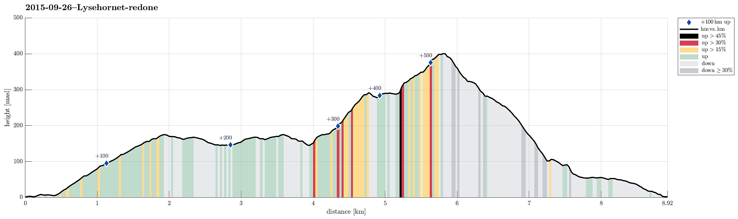
| Distance | 8.9km |
| Vertical meters | 560m |
| GPS |
|
| Ascents | Lyshornet (405m) | 26.09.2015 |
|---|---|---|
| Visits of other PBEs | Grønhovda utsiktspunkt (296m) | 26.09.2015 |
Trip Summary
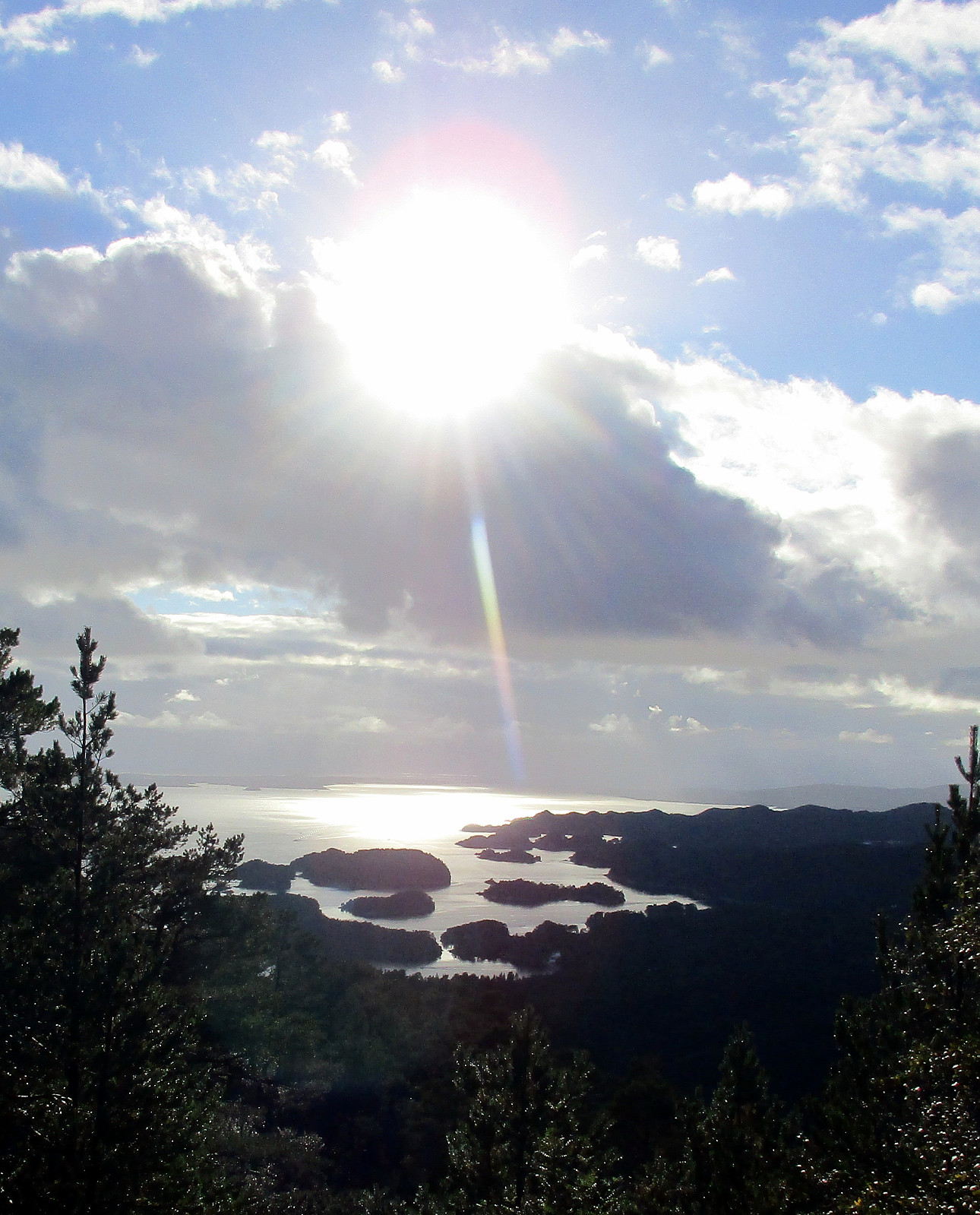
We parked right next to Pøyla/Kalvatræ and followed the gravel road that leads up to Svartavatnet/Ulvvatnet, first. That's an easy walk and one passes a point, maybe 200m before getting to the dam, where one can enjoy a really nice view over Lysefjorden! Once at the dam, one could continue on a smaller path (on the western side of Svartavatnet/Ulvvatnet), but we turned around and followed the gravel road that we had walked up, first. About half way back, right underneath Geithaugen in the west, and at about 145mosl, a nice path towards Lysehornet leaves (to the east). We followed this path (via Grønhovda) to Lysehornet and enjoyed the great views that one has from there. From Lysehornet, we descended via the other path, which leads (via Lyshornskaret) to the ruins of Lyseklosteret. Before actually getting all the way down to the ruins, we cut short (via Lyseklosteret hovedgården) and returned to our car, walking down the street a few meters. All in all, this was a nice afternoon hike with great views in all directions from Lysehornet.
Photos
Selected photos are available as Google+ photo album.
Useful Resources
Web page WestCoastPeaks.com provides useful information about Lysehornet
and also Petter Bjørstad has a useful page about Lysehornet.


User comments