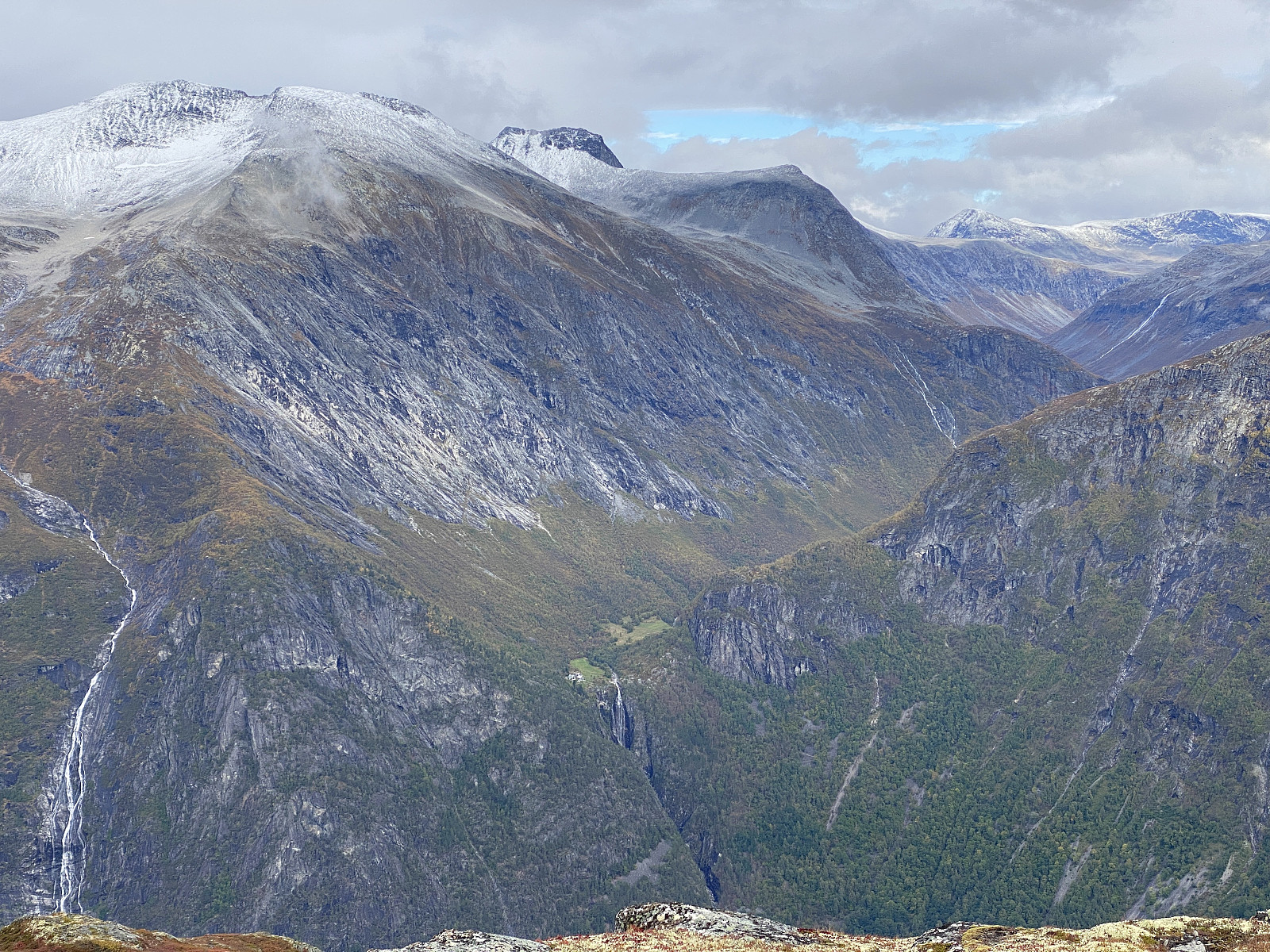
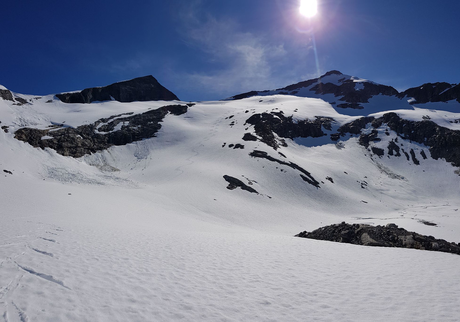
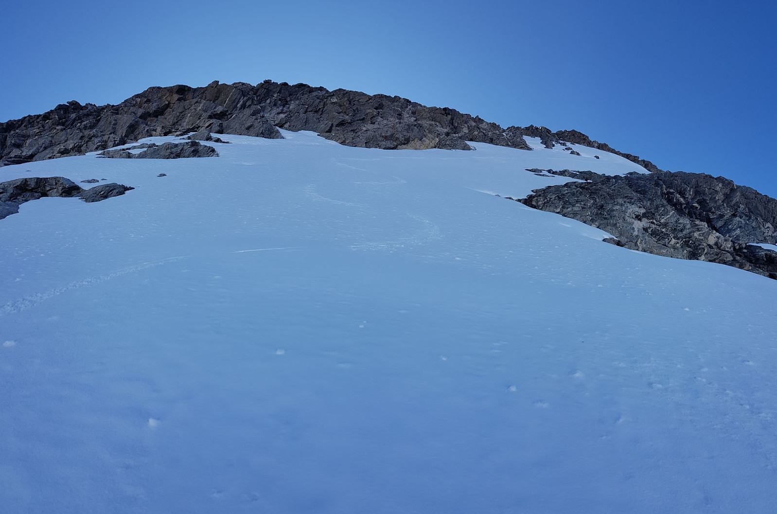
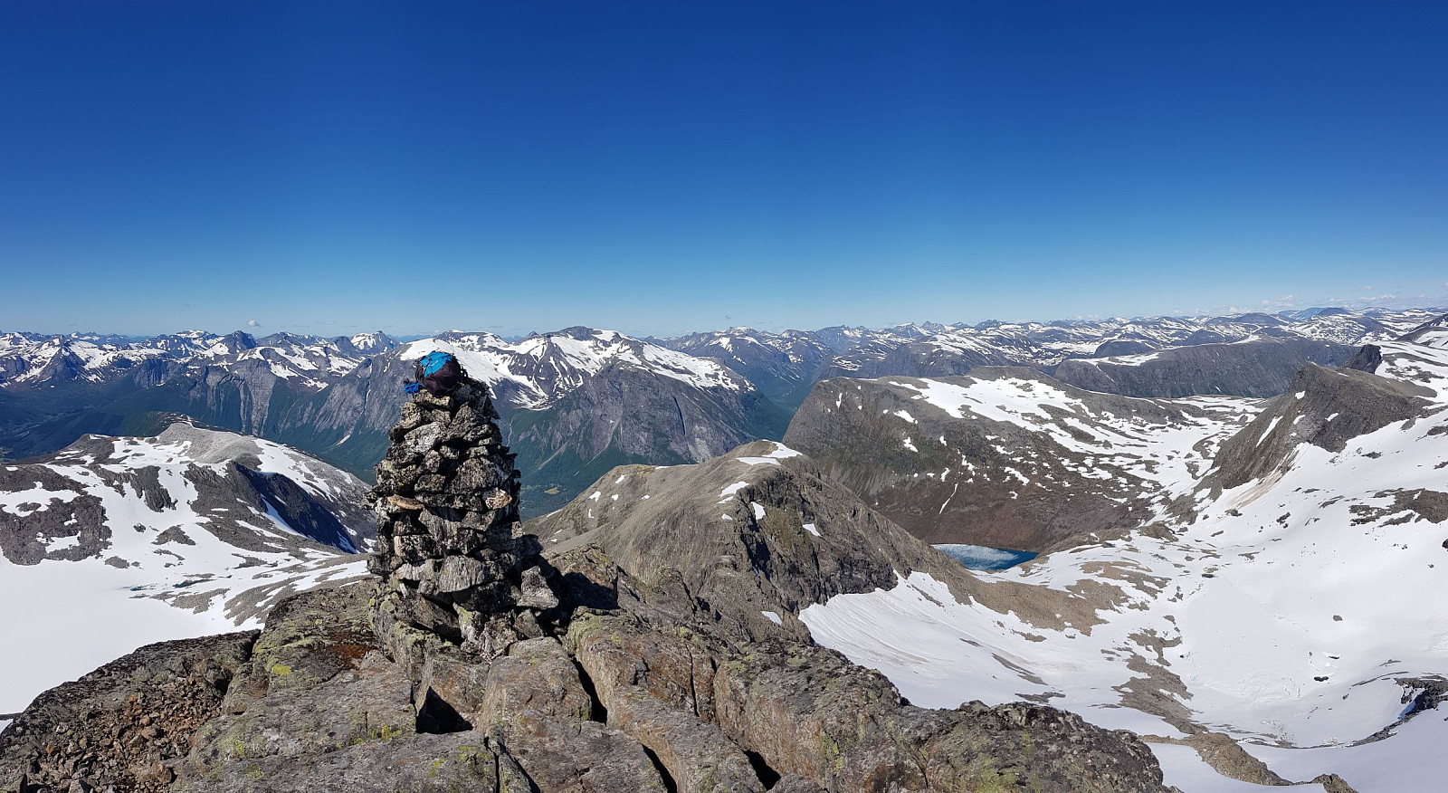
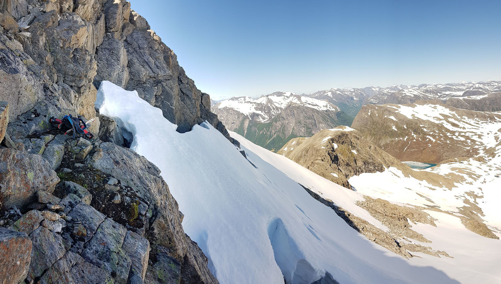
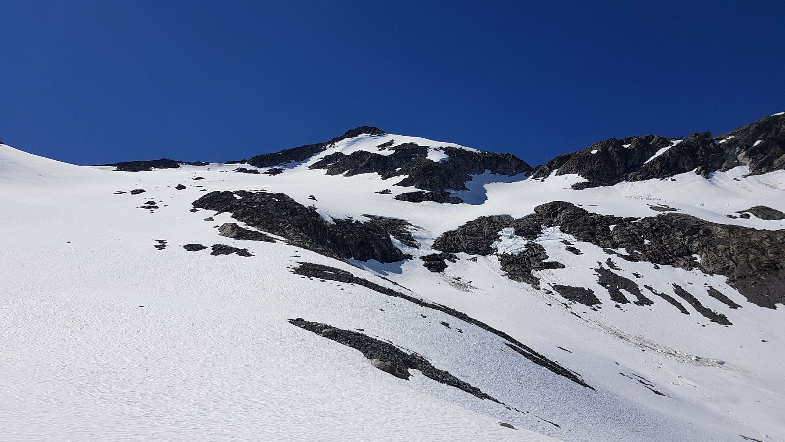
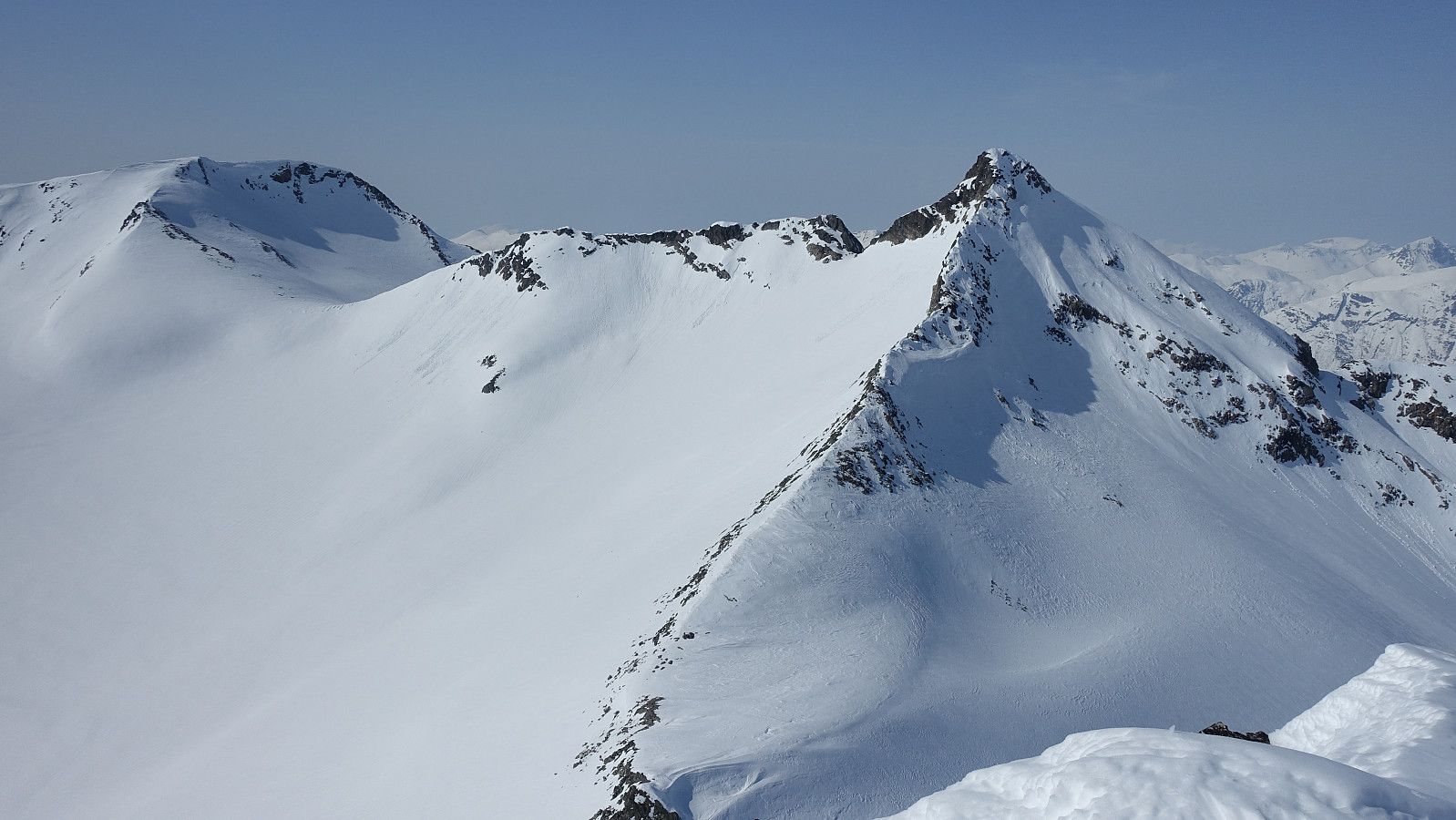
Trollkyrkja - 1,762m

Name Trollkyrkja
Search name Trollkyrkja
Elevation 1,762 meter
Region Tafjordfjella, Fjord
Parent regions Europe, Norway, Norway mainland, Møre og Romsdal, Sunnmøre
Vertical separation 148 meter
Adviser admin (Administrator)
Last modification 01.09.2020
First ascent
Level of difficulty Level of difficultyLevel of difficultyLevel of difficultyLevel of difficulty 
Coordinates 32V 420862 6906479 (UTM)
Map Show object on map
Trollkyrkja

© Otto Lund

Content
Language
Adviser none
Statistics

Register ascent of Trollkyrkja.

Overall 38 members have registered 42 ascents of Trollkyrkja.

Trollkyrkja is contained on 9 lists.

Map

Pictures

Introduction

Trollkyrkja is a peak that stands out from its surroundings. It is locaded in a mountain range between the Valldal valley and the fjord Tafjord, where it's surrounded by glaciers on all sides. The translation of the name is Troll Chruch. If you see this mountain from Gudbrandsjuvet in the Valldal valley, the dramatic spire that makes out the summit gives you a good idea why it's given that very name. The black colour of the rock and the alpine summit give the mountain both an appealing and appalling appearance. Despite its somewhat inaccessable appearance, the somewhat airy southeast ridge is accessible for most people with some mountaineering experience.

How to reach the summit

The peak is visited by hikers from early july to october. When the mountain is covered with snow, it's is also a popular destination for skiers. There are two main gateways to access the peak, and the approaches are quite different.

The first and most common place to start your trek is Gudbrandsjuvet. From here there is a pleasant walk up to the lake called "Fremste Heivatnet". 890 altimeters. Walk along the right side of the lake, and follow a small trail right of a waterfall. The trail is quite steep, and takes you up to the small and often glaced lake "Klombra", 1187 altm. From here you aim for the col between Trollkyrkja and the unnamed peak called "1711". There is a glacier here, and to be safe from crevasses, it's reccomended to use a rope. However, this is often neglected by people who come here. When you reach the col, there is a pleasant scramble on the southeast ridge all the way to the summit. Close to the top, you will encounter a hammer which can be avoided to the right. The rock is mostly solid thoughout the ridge. On a nice day, the view is incredible.

The second place to start your trek is Hauge, by Fjørå. This is a longer trek. From here you stroll along the old gravel road up to Nysetra. Continue along the trail to Heggurdalen, and the leave the trail and try to aim for the 1410-point shortly after you round the Heggurdaksla ridge. From here you follow the Blåfjell-ridge to the highest point, 1602. Walk down to the col between this summit and the 1599-summit. Your aim is the 1599-summit. There is normally a small cornice covering the summit, but if you keep to the left there should be no worries. From here you continue to the summit of Muldalsegga (1766 altm). The scree is very loose here, but it's not steep so your patience is the only thing being tested. On the summit you have a nice view of Trollkyrkja. Then follow the ridge down to "Nakkebreen" glacier. Just after leaving Muldalsegga there are some short airy spots, but the holds are excellent. From here you can run down the snowfields to the col between Muldalsegga and the southwest ridge of Trollkyrkja. Cross the Nakke-glacier and aim for an appropriate enteringspot on the southeast ridge. It should be said that it can be nice with a set of crampons and an axe, but it's optional, and probably just required if you come here after the end of july. The col between Trollkyrkja and the 1711-peak is probably the easiest place to access the ridge, but it is possible to enter it further to the left.
The scramble on the SE-ridge is pleasant and the rock is solid. The descent should be made to Gudbrandsjuvet due to the long distance, but if you are very fit there is nothing in the way of going back the same way.

White ascent

When the snow sets in, the place to start is Gudbrandsjuvet. First head for the "Heisetra" cabin. From here you head for the Middagsbotn valley and continue up to the col between Muldalsegga and Trollkyrkja. Cross the "Nakkebre" glacier and aim for the col between Trollkyrkja and the 1711-peak. Leave your skis here and scramble up to the summit. If the conditions makes the snow hard and icy, an iceaxe and maybe a set of crampons is are good companions. The return is normally done the same way, though some choose to take steeper and more demanding way down to Klombra and Heivatnet, just like the summer trail.

Useful information

Maps are available in the tourist information in Sylte (Valldal). There is a wounderful guidebook of treks in the area called "Opptur Geirangerfjord" which can be bought in the supermarked "Spar" in Sylte. For good accomodation your best option is Fjellro Hotel.

Other pictures

Trip Reports

User comments

Comment title:
Characters left: 1000
Comment text: