Nipahøgdi (07.06.2026)

| Startsted | Osafjellsvegen (974moh) |
|---|---|
| Sluttsted | Osafjellsvegen (974moh) |
| Turtype | Fjelltur |
| Turlengde | 3t 25min |
| Distanse | 12,0km |
| Høydemeter | 571m |
| GPS |
|
| Bestigninger | Nipahøgdi (1375moh) | 07.06.2026 10:34 |
|---|---|---|
| Andre besøkte PBE'er | Rundavatnet demning p-plass (1040moh) | 07.06.2026 09:27 |
Nipahøgdi
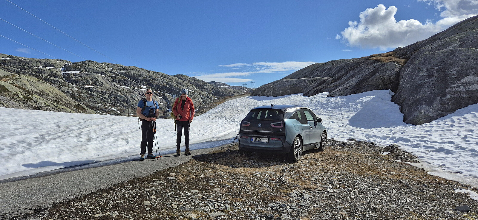
Petter picked me up at my place shortly after six, having already picked up Endre, and together we made the long drive to Austdalen. Our goal was to drive as high up as possible and then see how many of the peaks that each of us had left we could manage to ascend.
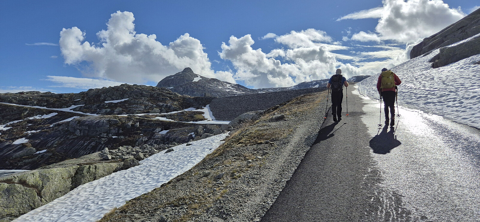
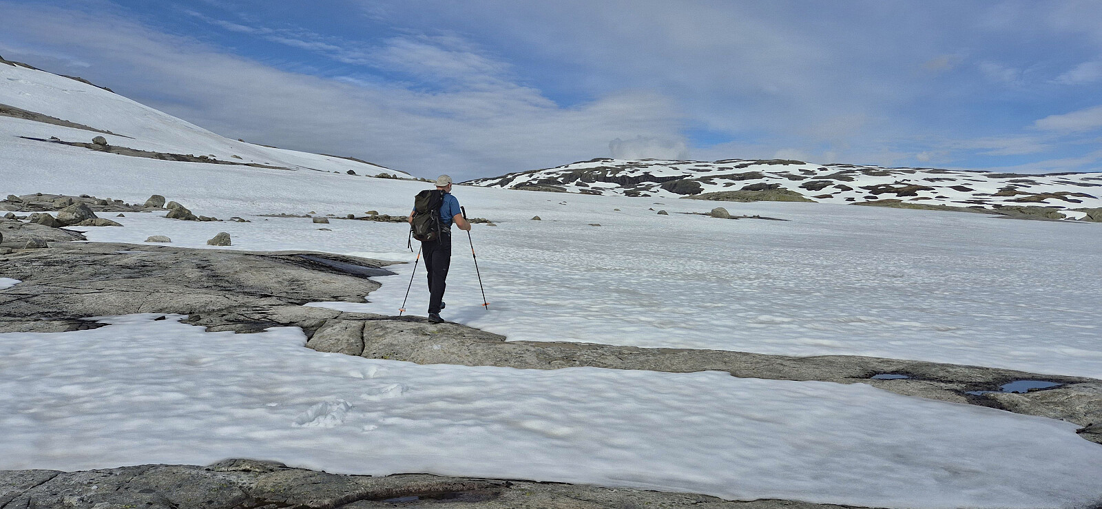
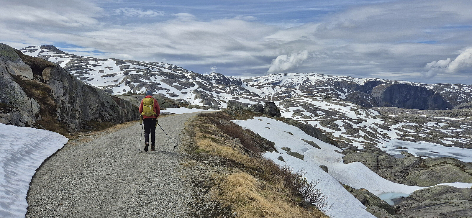
At around 970 meters above sea level, just before the last bend in the road below Austdalsnutvatnet, we came across the first patch of snow blocking our way. We left the car behind and continued on foot along the road. We had brought skis but decided to leave them in the car. There were still extended stretches of road without any snow but it quickly became clear that we could not have driven much further anyway, as the road was soon largely hidden underneath the snow.
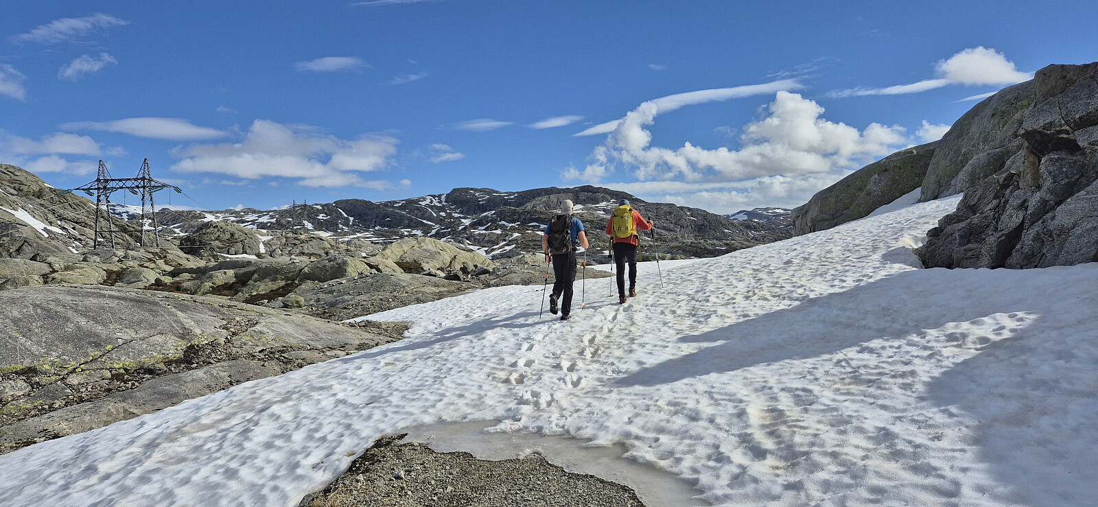
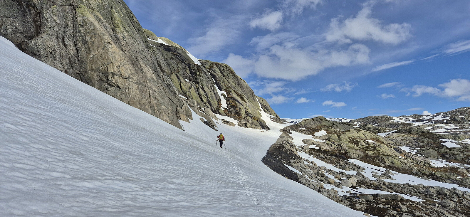
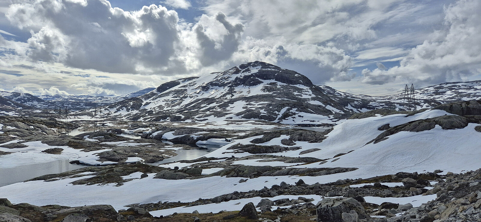
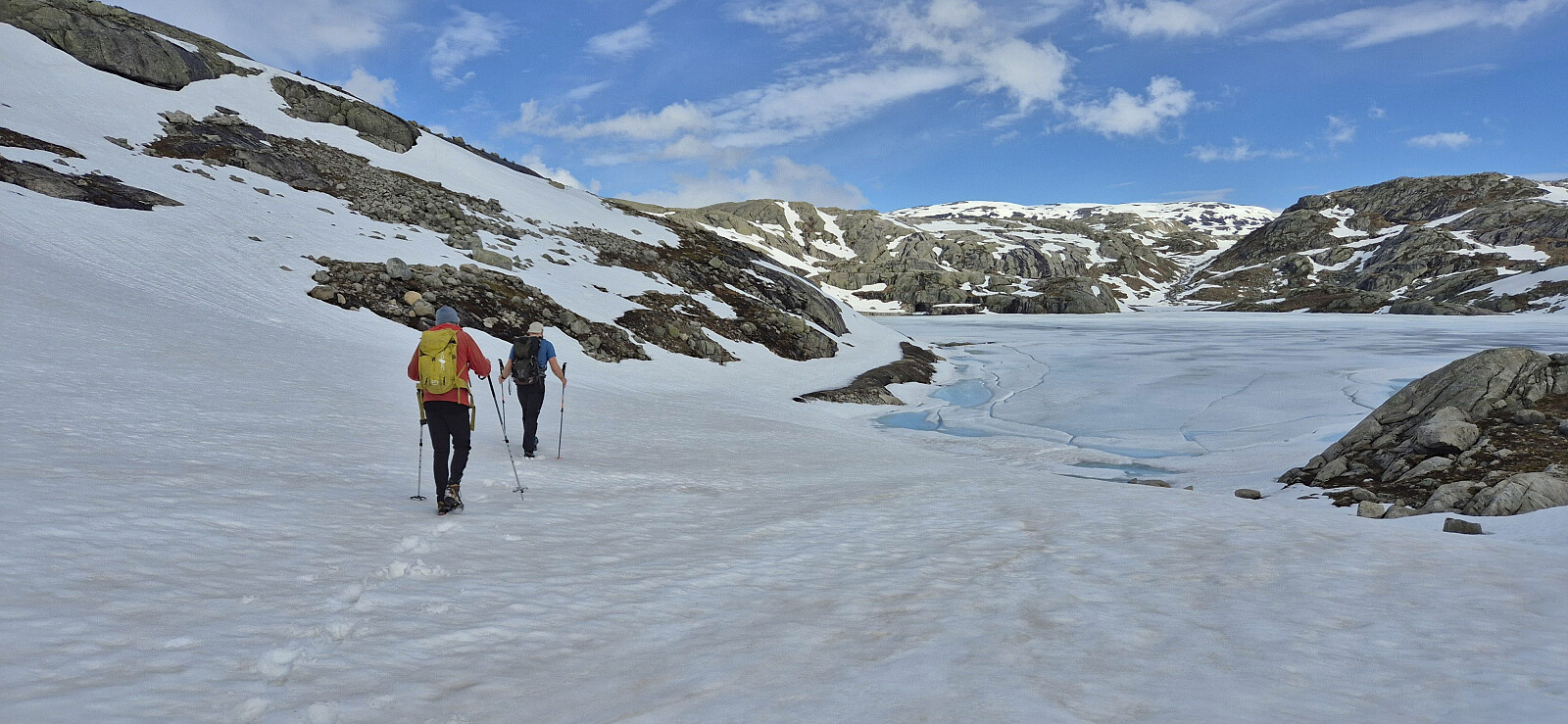
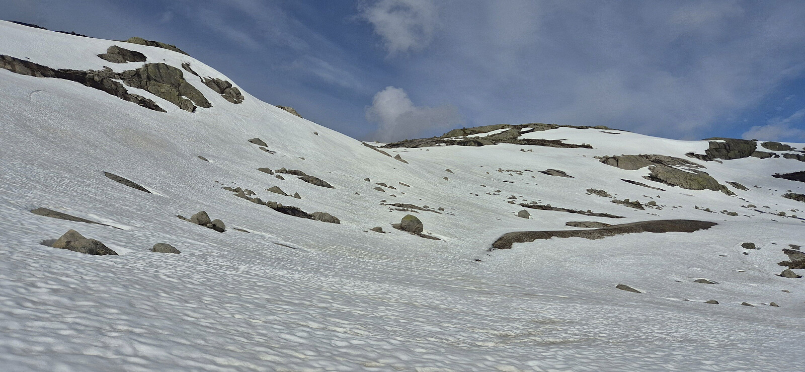
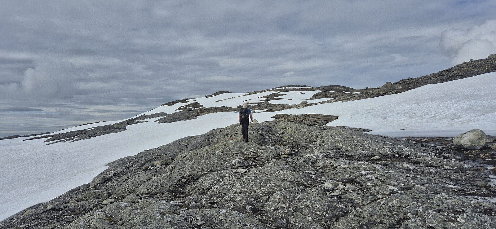
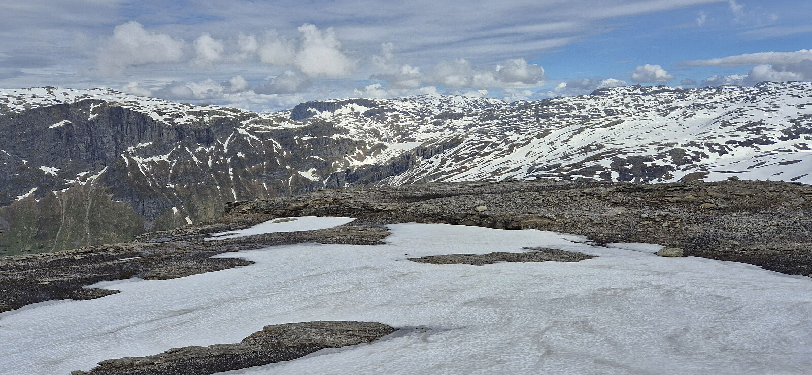
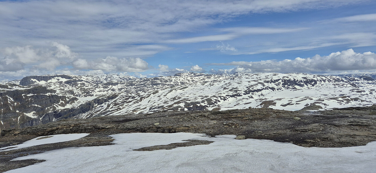
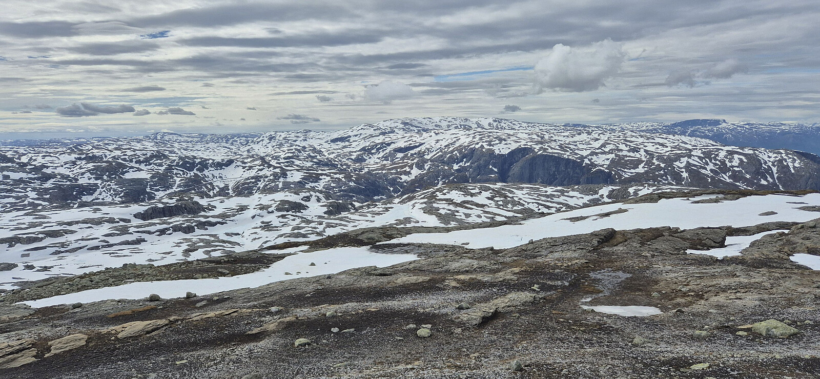
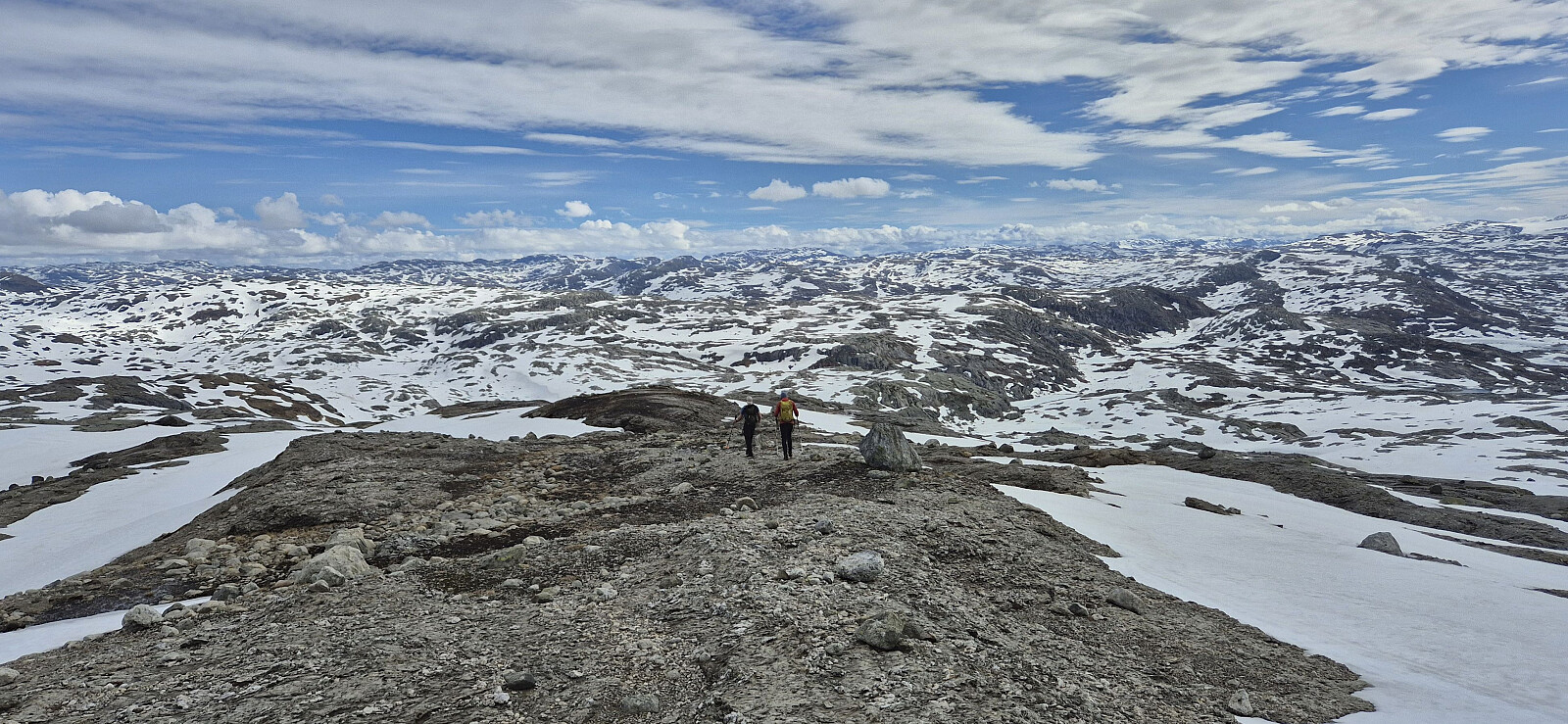
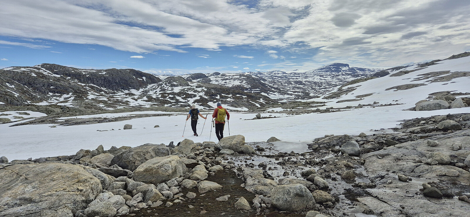
Upon arriving at Floksefonnvatnet, we left the road and headed off-trail towards the summit of Nipahøgdi. This was overall straightforward with the only challenge being the sometimes rotten snow, making the progress slightly slower. Maybe we should have brought the skis after all? There were however also lots of areas without any snow at all, including the summit area, which in the end was reached without any real issues.
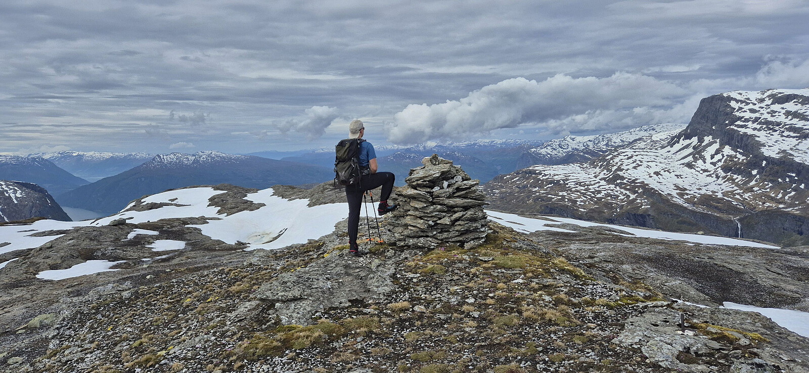
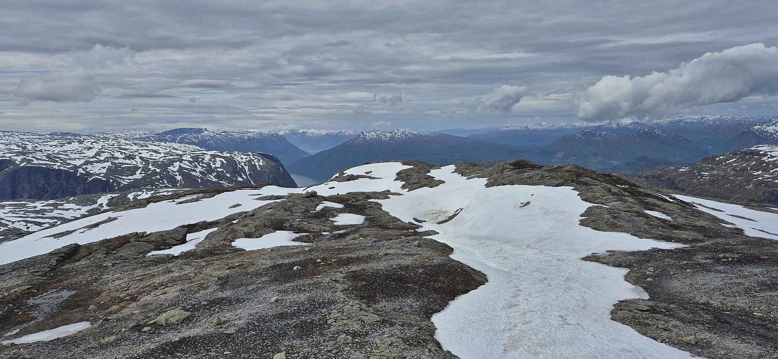
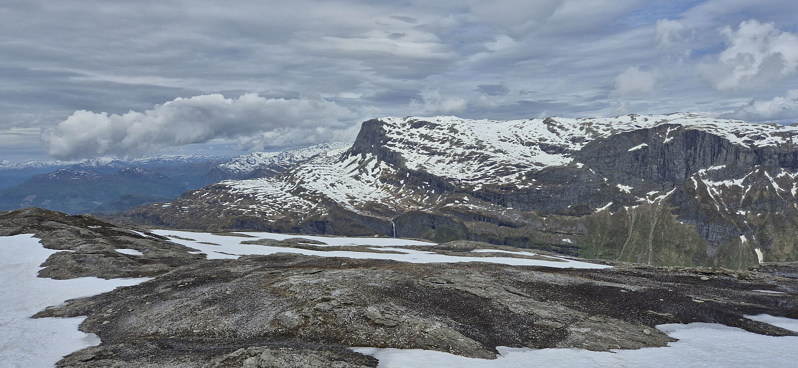
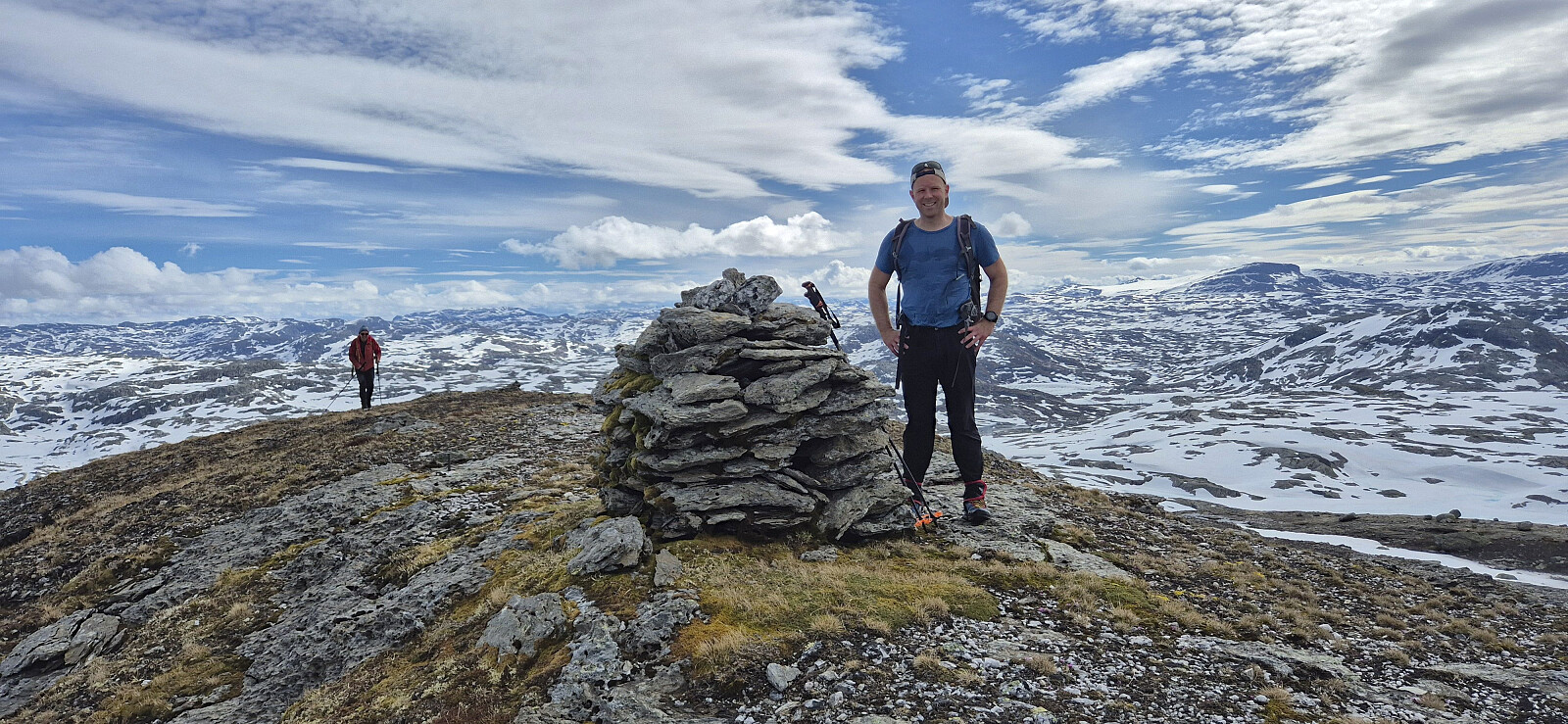
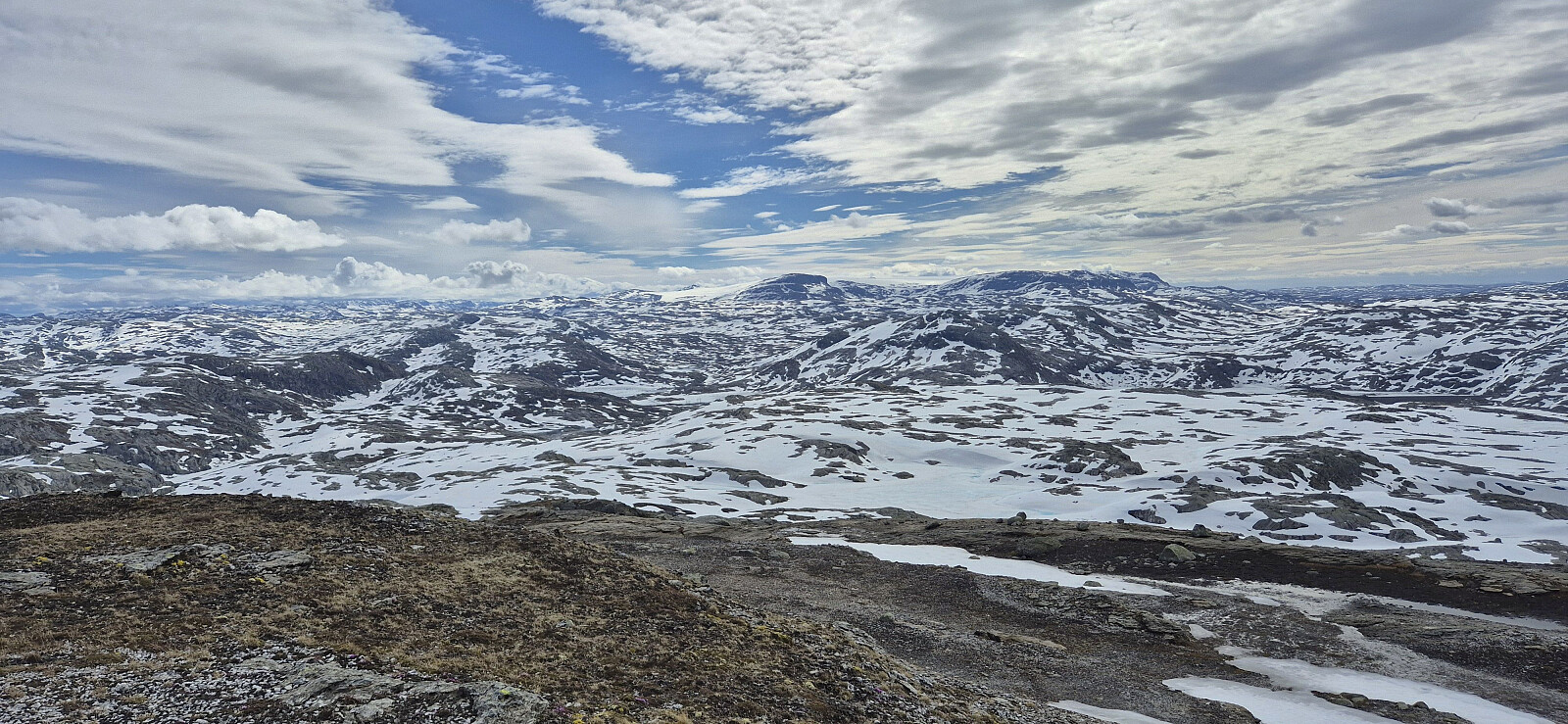
After a break at the summit to enjoy the excellent views, we returned the same way to the car, with Endre taking a short detour to check whether the unusually low water level in Austdalsnutvatnet, before we all reconnected at the car. Next, we drove south towards Langavatnet for an attempt at ascending Kyrelvfjellet.
| Starttidspunkt | 07.06.2026 08:53 (UTC+01:00 ST) |
| Sluttidspunkt | 07.06.2026 12:19 (UTC+01:00 ST) |
| Totaltid | 3t 25min |
| Bevegelsestid | 3t 07min |
| Pausetid | 0t 18min |
| Snittfart totalt | 3,5km/t |
| Snittfart bevegelsestid | 3,8km/t |
| Distanse | 12,0km |
| Høydemeter | 571m |

Kommentarer