Archive - Date
Archive - Geography
Peakbook-Friends


Collected lists
-
Sukkertoppen topper
(90/112)
 80%
80% -
Møre og Romsdal ≥ 500m pf.
(104/161)
64%
-
Møre og Romsdal kommunetopper
(14/24)
58%
-
Sunnmøre ≥ 100m pf.
(293/531)
55%
-
2000m 30m pf. fastlandet
(99/227)
43%


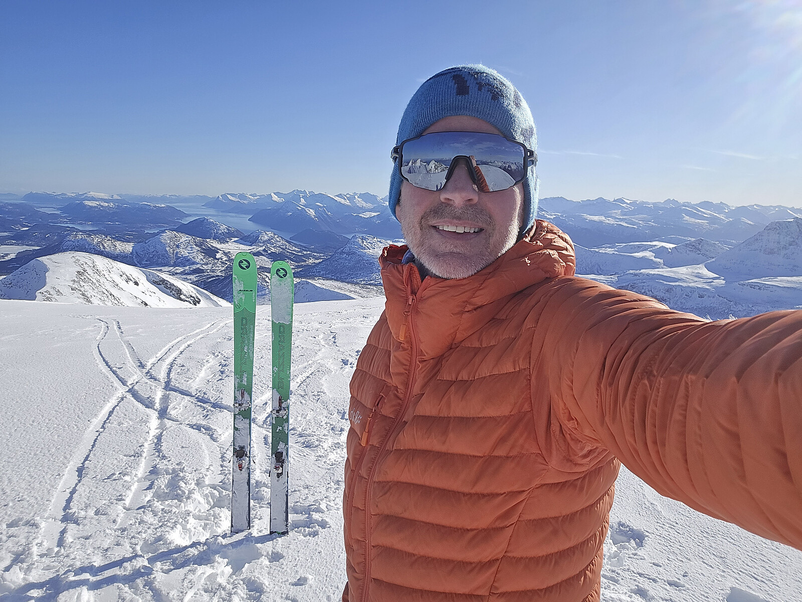
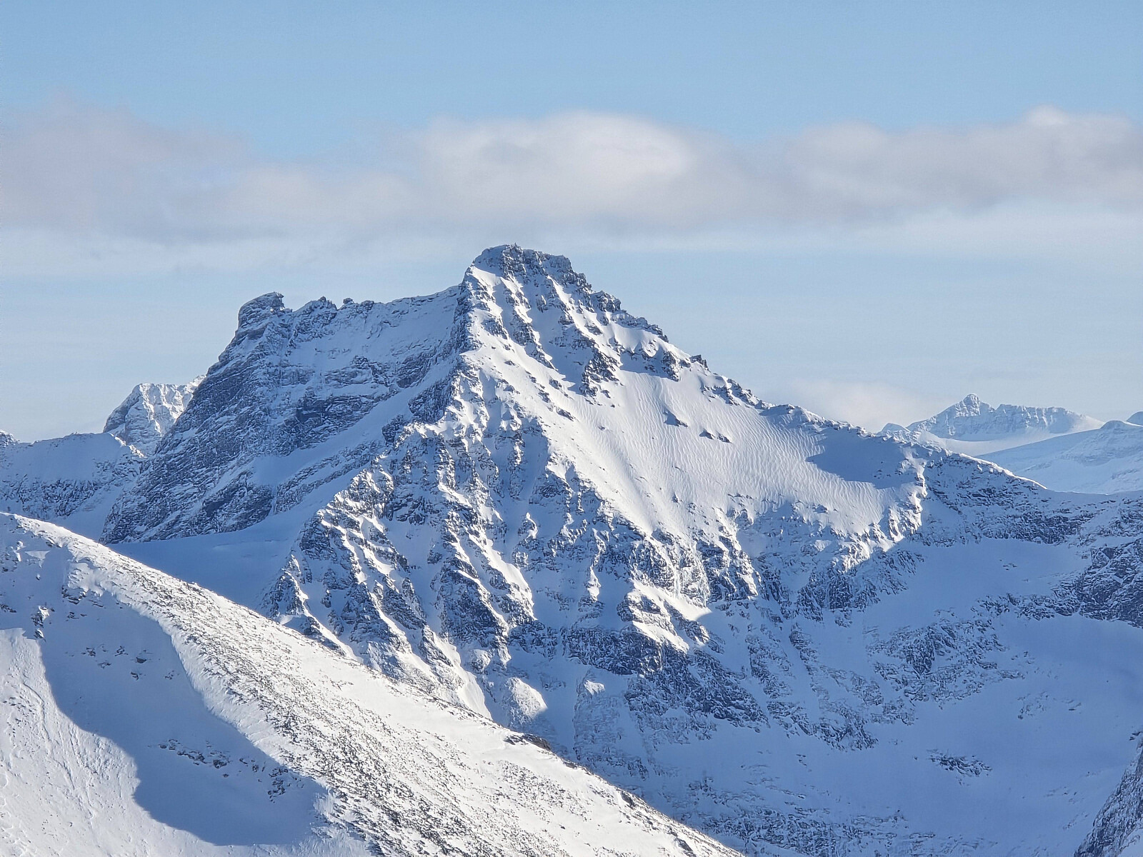
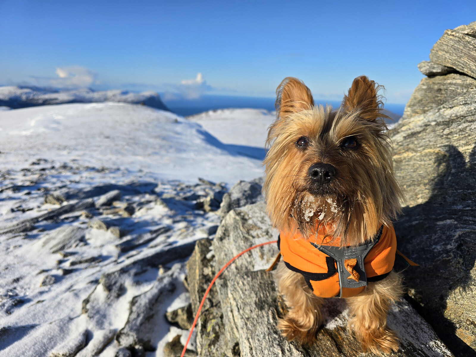
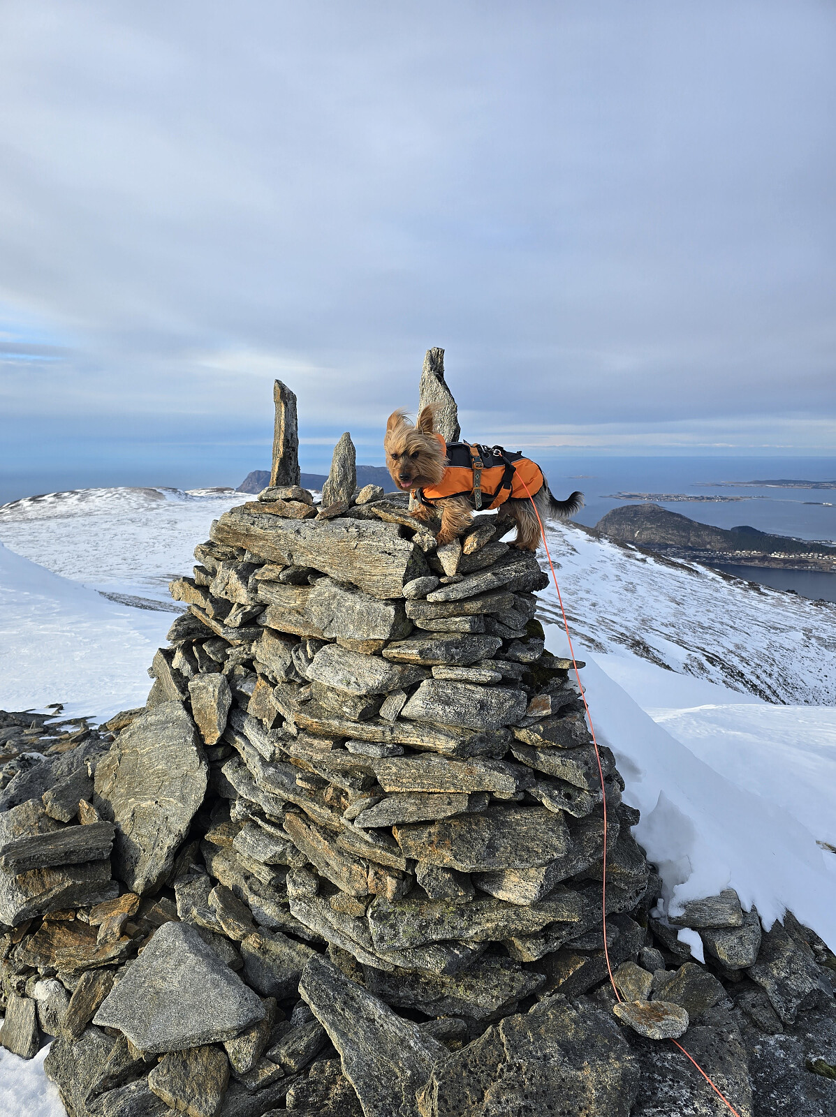
Storhornet
- Date:
- 13.02.2026
- Characteristic:
- Hike
- Duration:
- 1:13h
- Distance:
- 4.2km
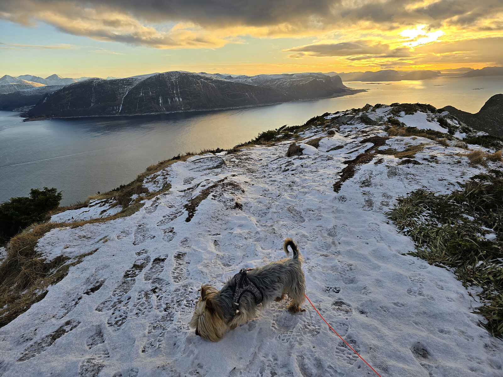 m/Simba.
To uker uten fjellturer pga en kraftig influensa. Fint å komme seg ut på tur igjen :-)
m/Simba.
To uker uten fjellturer pga en kraftig influensa. Fint å komme seg ut på tur igjen :-)
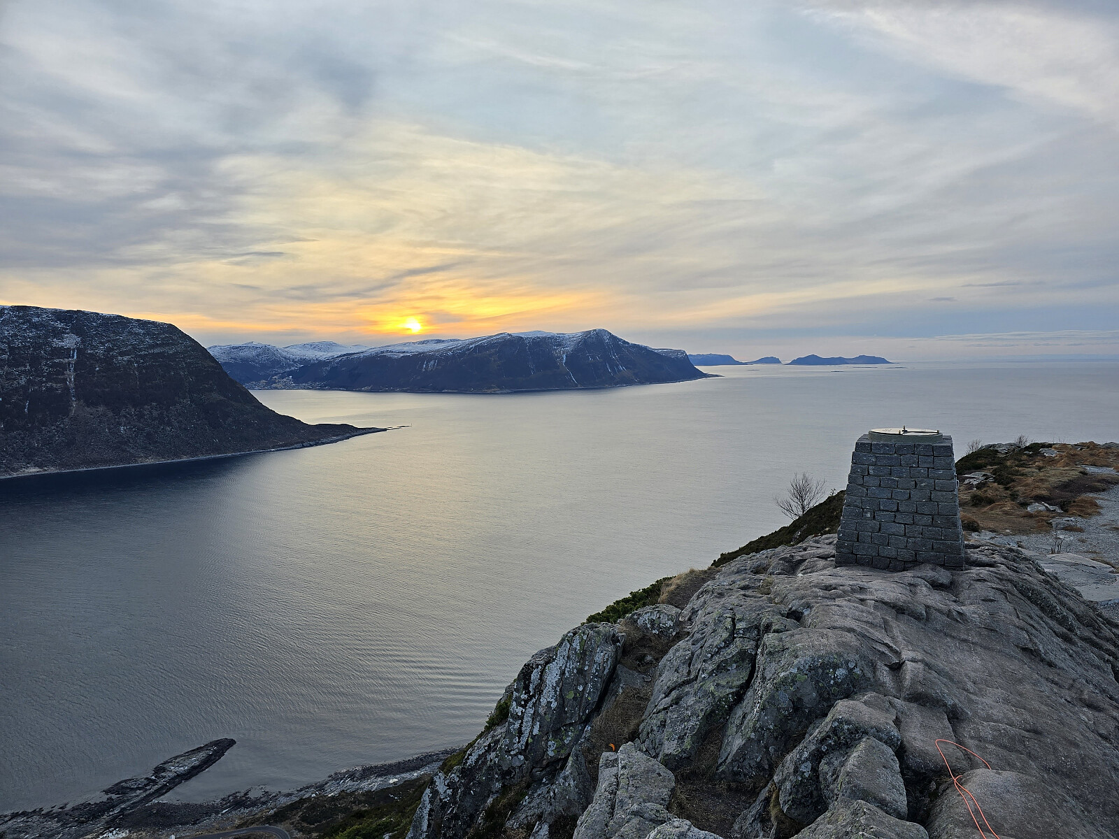
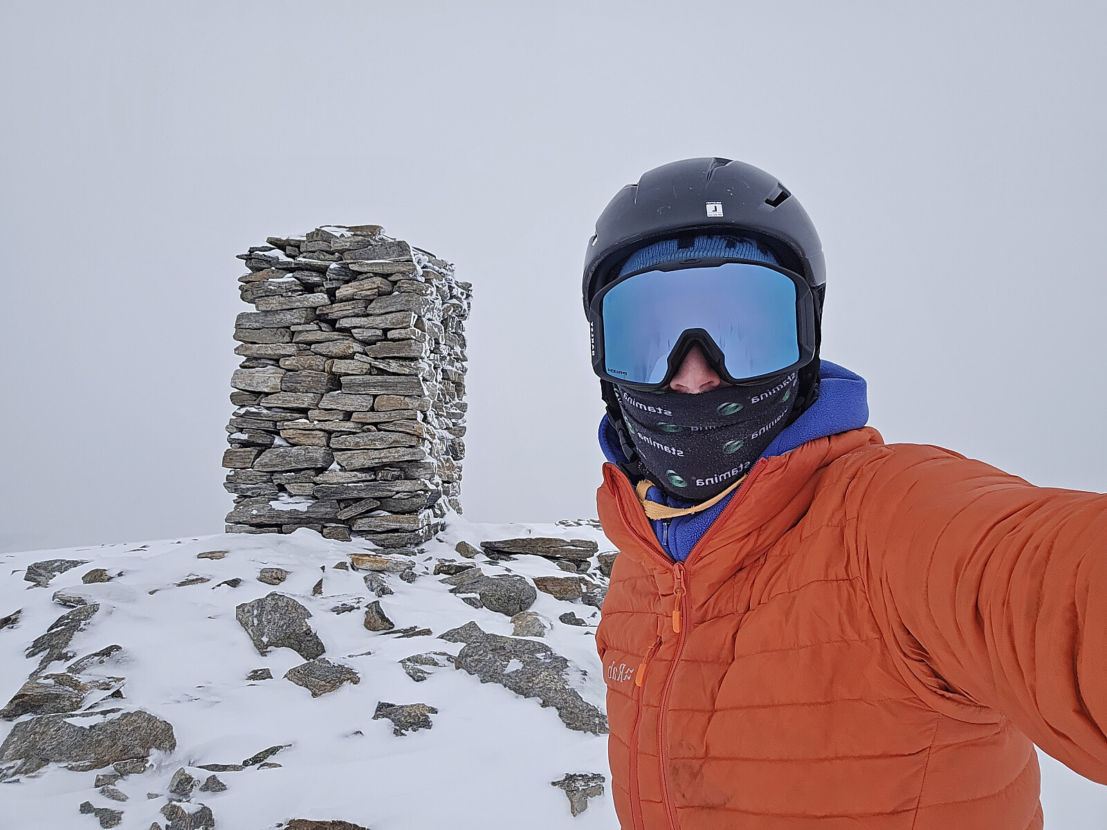
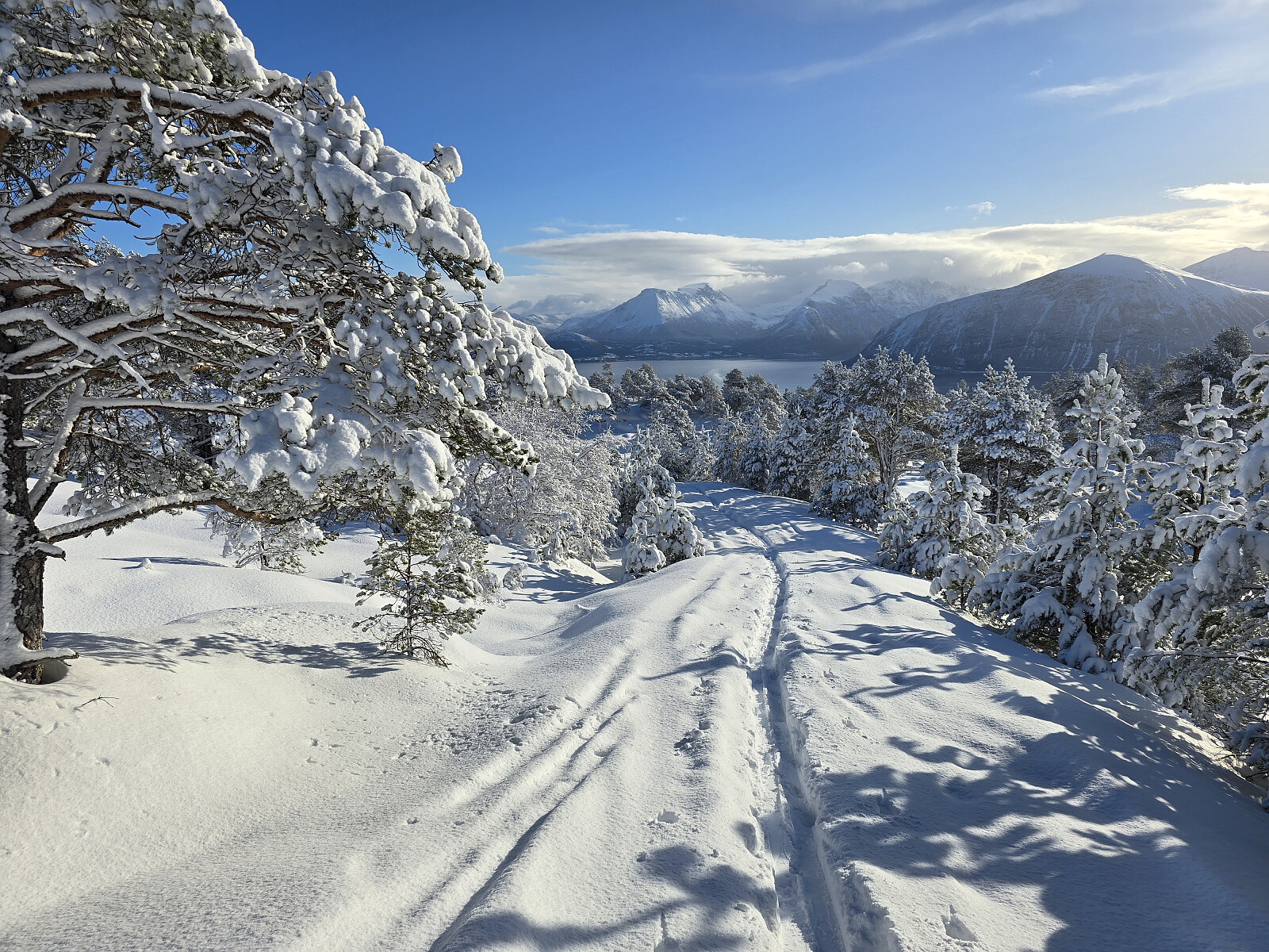
Vardane og Grøthornet
- Date:
- 31.01.2026
- Characteristic:
- Hike
- Duration:
- 2:18h
- Distance:
- 10.0km
 m/Heron