3-days trek to Mount Rinjani (16.07.2013)

| Start point | Sembalun (966m) |
|---|---|
| Endpoint | Senaru (604m) |
| Characteristic | Hike |
| Duration | 28h 43min |
| Distance | 37.3km |
| Vertical meters | 3,842m |
| GPS |
|
| Ascents | Mount Rinjani (3,726m) | 16.07.2013 |
|---|
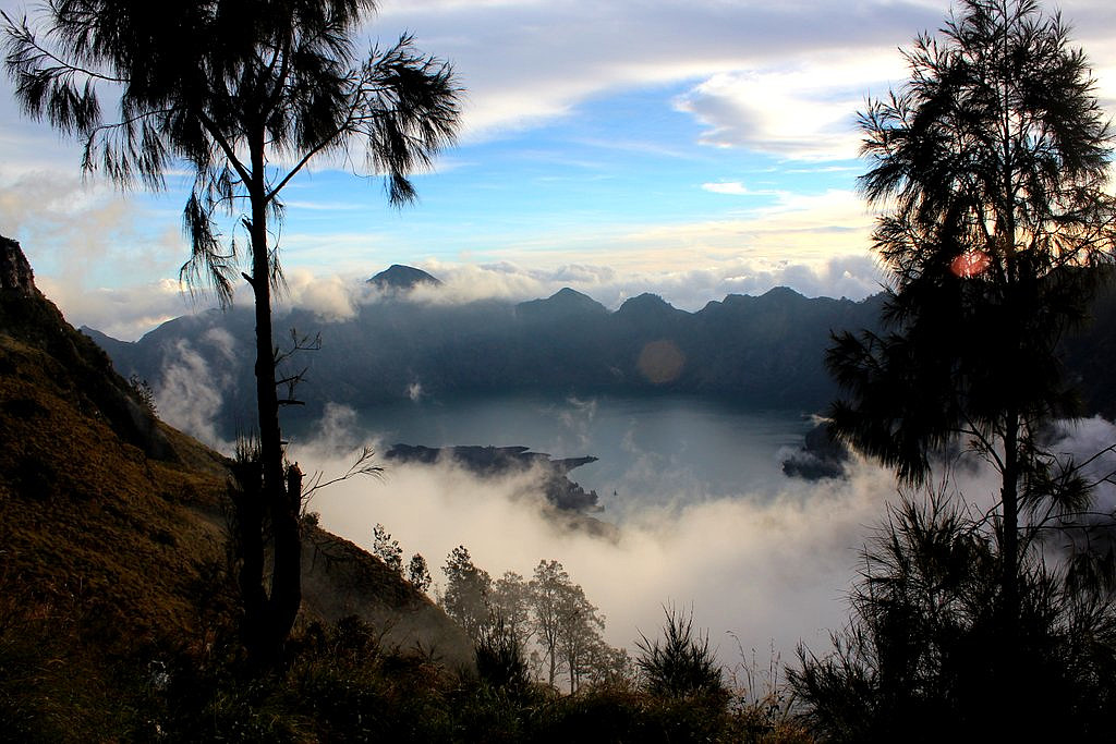
Gunung Rinjani (3726m) is the tallest mountain in Lombok and the second highest volcano in Indonesia. It takes 3 long days to do the full traverse of Rinjani including the crater lake, and we enjoyed every moment of this wonderful trek and the spectacular scenery.
See my offsite trip-report, photos and gps-track at distantpeak.blogspot.com/2013/07/gunung-rinjani.html
| Start date | 15.07.2013 09:48 (UTC+08:00) |
| End date | 17.07.2013 14:55 (UTC+08:00) |
| Total Time | 28h 43min |
| Moving Time | 19h 30min |
| Stopped Time | 9h 13min |
| Overall Average | 1.3km/h |
| Moving Average | 1.9km/h |
| Distance | 37.3km |
| Vertical meters | 3,842m |

User comments