Archive - Date
Archive - Activity
-
Climbing (43)
- Alpine climbing (31)
- Ice climbing (3)
- Mixed climbing (1)
- Sport climbing (3)
- Via ferrata (1)
-
Other trip (5)
- Expedition (5)
-
Other winter trip (5)
- Snowshoe trip (5)
-
Ski trip (441)
- Backcountry skiing (4)
- Cross-country skiing (2)
- Randonnée/Telemark (433)
-
Trip by foot (506)
- Alpine trip (47)
- Hike (195)
- Hillwalk (205)
- Jogging (4)
- Walk (55)
Peakbook-Friends


Illiniza Norte
- Date:
- 23.08.2010
- Characteristic:
- Hike
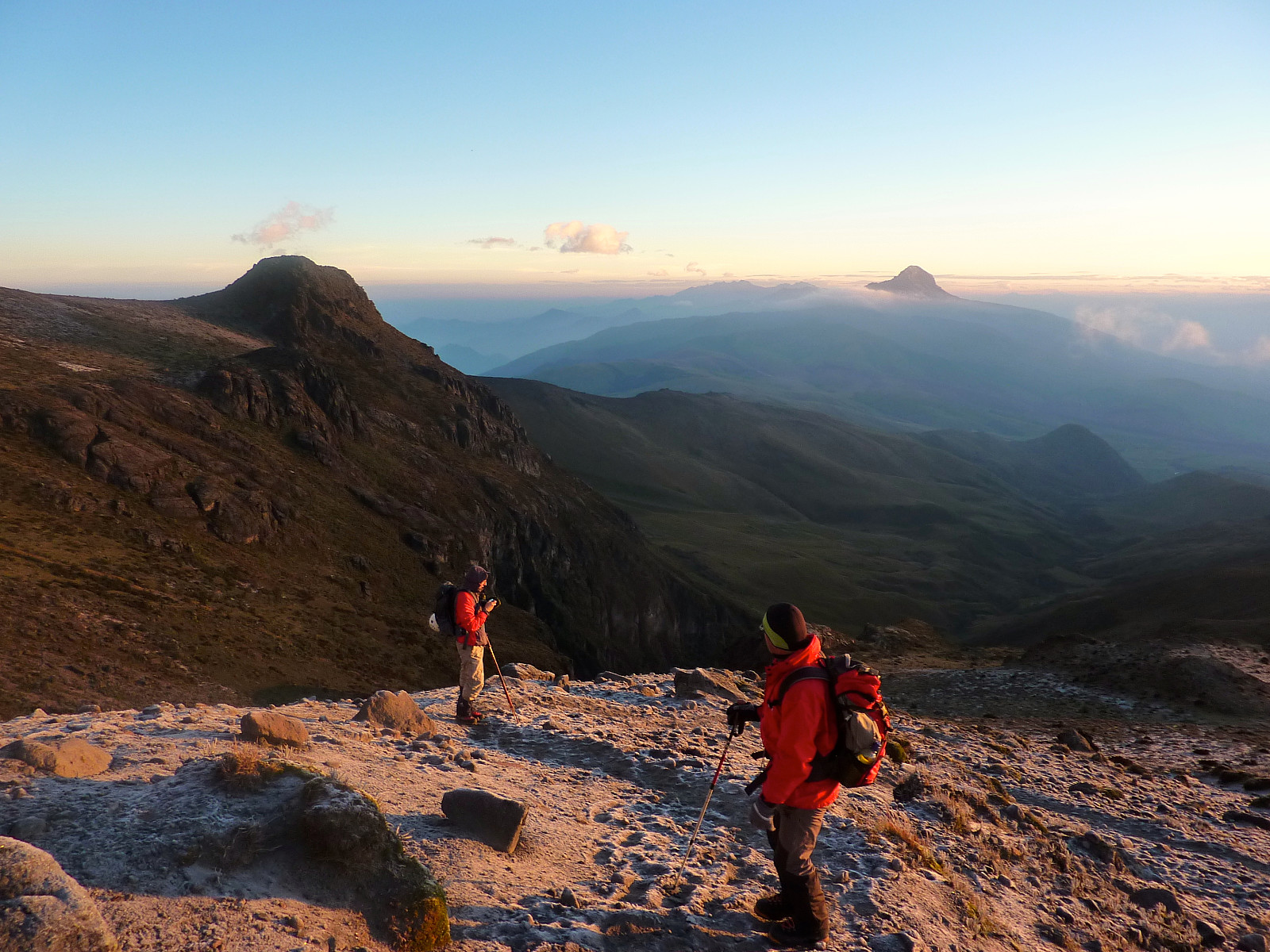 På tide å legge ut noen bilder nå, men det kommer ikke turrapport!
Husker ikke så mye fra turen, bortsett fra at det var en kjempefin dag, vi fikk med oss en hund på tur (aner ikke hvor han dukket opp fra) og jeg kom tilbake med stor hodepine etter å ha blitt altfor tørst ila. dagen.
På tide å legge ut noen bilder nå, men det kommer ikke turrapport!
Husker ikke så mye fra turen, bortsett fra at det var en kjempefin dag, vi fikk med oss en hund på tur (aner ikke hvor han dukket opp fra) og jeg kom tilbake med stor hodepine etter å ha blitt altfor tørst ila. dagen.
Guagua Pichincha
- Date:
- 21.08.2010
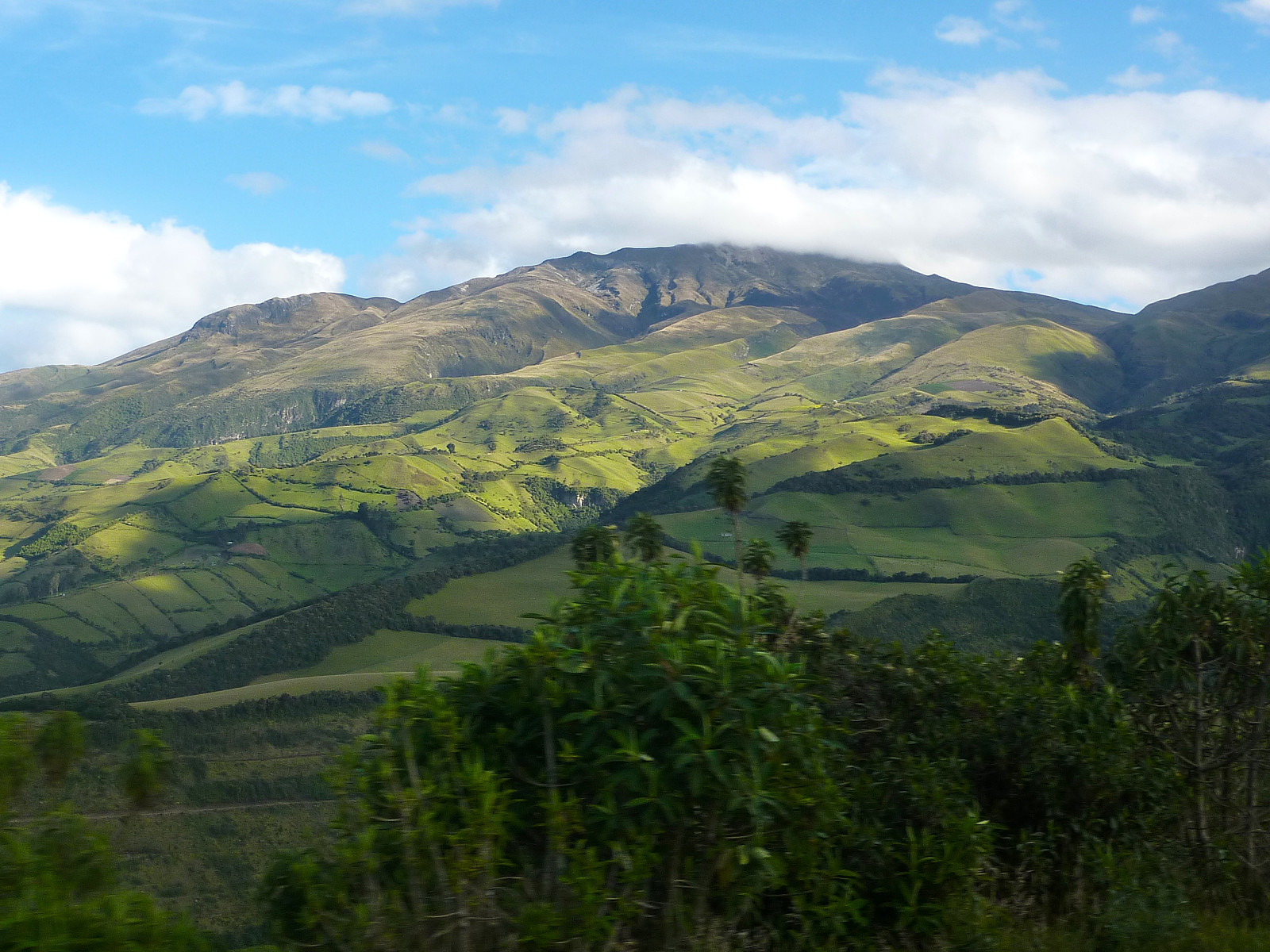 Our breakfast was scheduled for 6.30am, so we could be picked up by 7am and make our way to the next mountain on our acclimatization – Guagua (‘baby’) Pichincha. Sadly the breakfast was pretty meagre for several hungry mountaineers, we got a couple of slices of papaya and a small croissant. It wasn’t exactly a substantial amount of food to go climbing mountains on! Fortunately we were going to be passing by a bakery/grocery store along the way to the mountain, so I picked up some extra fruit and things to snack on. Today, we drove up another mountain road leading up to a farm at around 3700m. It was pretty windy when we got out, and felt a lot fresher than the previous day’s balmy stroll! The remainder of the road continued up towards ‘Cruz Loma’ at 4100m, where a lot of tourist >>>
Pasochoa
- Date:
- 20.08.2010
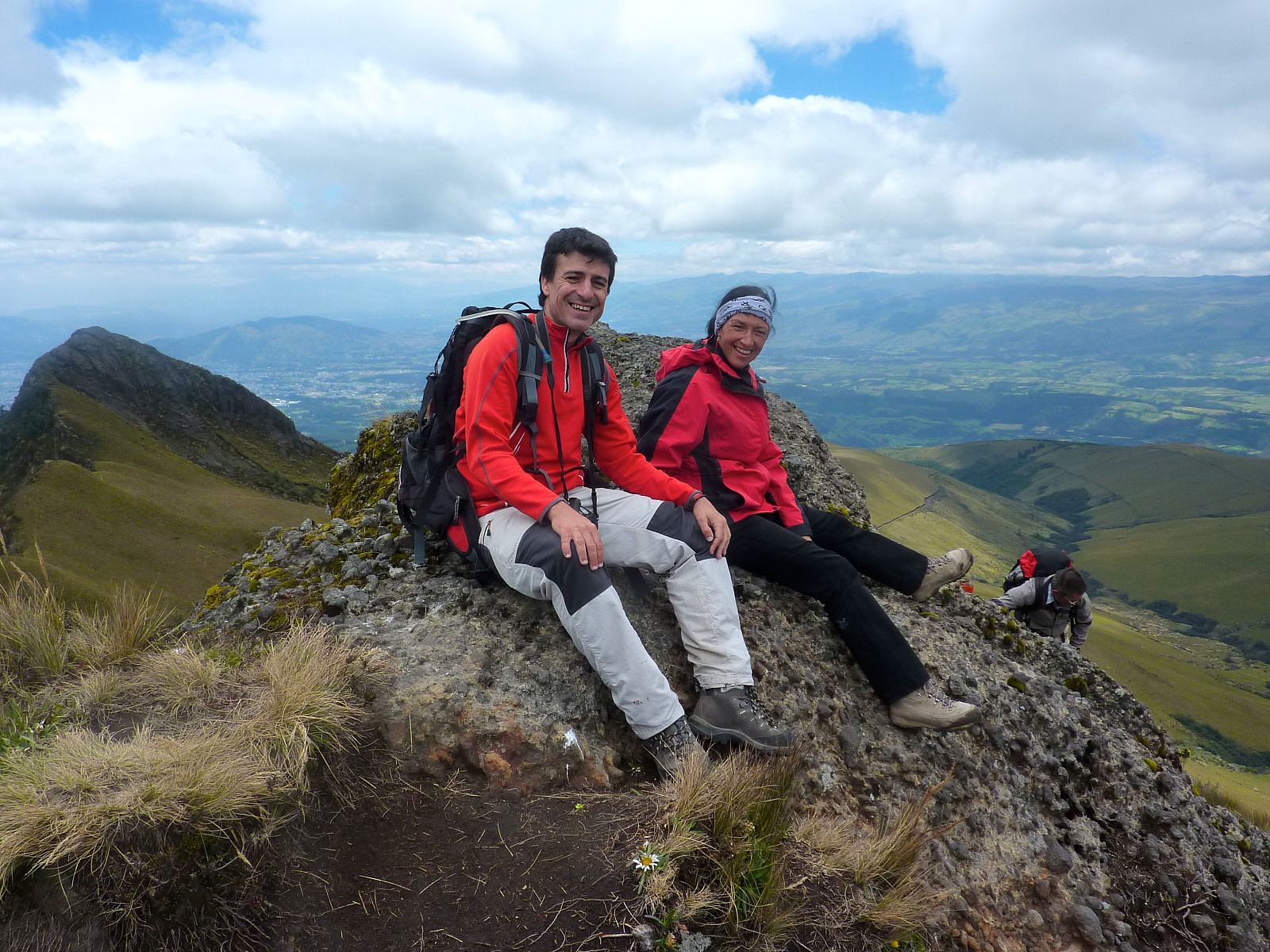 After breakfast I was met by Franklin at the Auberge Inn where I had been staying for a few nights. Franklin was our mountain guide for the 9-day trip arranged by the company ‘High Summits’ based in Quito. Today would be an easy acclimatisation walk up a hill outside of Quito. The rest of the group were waiting for me on the bus. There were 4 Germans (Andrea, Tomas, Elke and Michael), a Spanish bloke (Mathias), and an American who didn’t appear to have done any kind of mountain climbing/walking at all (Nick). They all seemed quite friendly people from first impressions anyway. Our first stop of the day was the baguette shop, on our journey to Pasochoa. A lot of the height was gained by bus, and we got off at about 3600m, which meant less to climb. It was a shame as it was a nice track >>>

