Archive - Date
Archive - Activity
-
Bike trip (110)
- Bike trip - mixed (25)
- Bike trip - road (85)
-
Drive (9)
- Car drive (9)
-
Other trip (3)
- Kayaking (3)
-
Ski trip (116)
- Backcountry skiing (69)
- Cross-country skiing (47)
- Trip by foot (1884)
Collected lists
-
Utvalgte topper og turmål i Bergen
(348/349)
 99%
99% -
Alle topper i Bergen
(391/398)
98%
-
Voss ≥ 100m pf.
(96/98)
97%
-
Opptur Hordaland
(144/159)
90%
-
Stasjoner på Bergensbanen
(33/40)
82%
-
Ulvik ≥ 100m pf.
(28/38)
73%
-
Hordaland ≥ 100m pf.
(622/863)
72%
-
Mjølfjell PF > 100m
(21/31)
67%
-
Jondal ≥ 100m pf.
(15/23)
65%
-
Dagsturhyttene i Vestland
(36/61)
59%
-
Sunnhordland PF >= 100m
(105/186)
56%
-
Hordaland: Hardanger PF>=100m
(194/359)
54%
-
DNT-hytter i Hordaland
(23/45)
51%
-
Kvinnherad ≥ 100m pf.
(40/79)
50%
-
Eidfjord ≥ 100m pf.
(13/42)
30%
-
Sogndal ≥ 100m pf.
(23/81)
28%
-
Gulen ≥ 100m pf.
(15/54)
27%
-
Vik i Sogn ≥ 100m pf.
(10/46)
21%
-
Sogn - Sør for Sognefjorden PF>=100m
(31/159)
19%
-
DNT-hytter i Sogn og Fjordane
(8/47)
17%

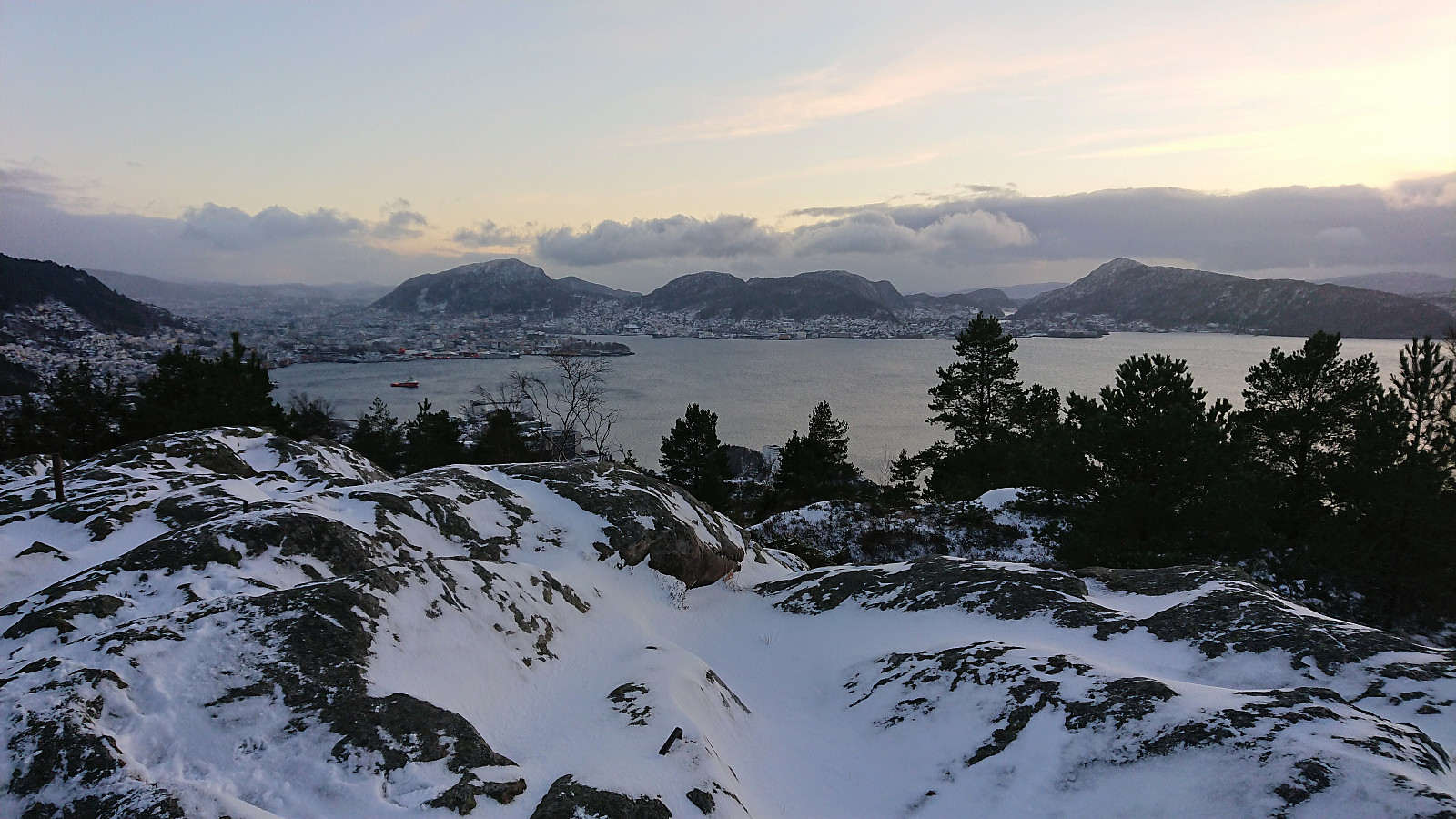
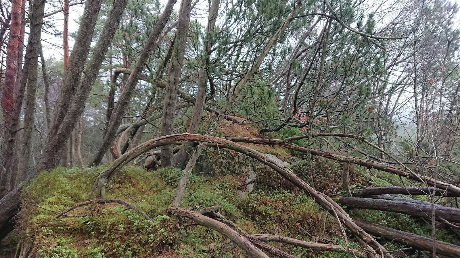
Searching for a 120-year-old cabin ruin behind Rundemanen
- Date:
- 30.01.2022
- Characteristic:
- Hillwalk
- Duration:
- 5:20h
- Distance:
- 17.9km
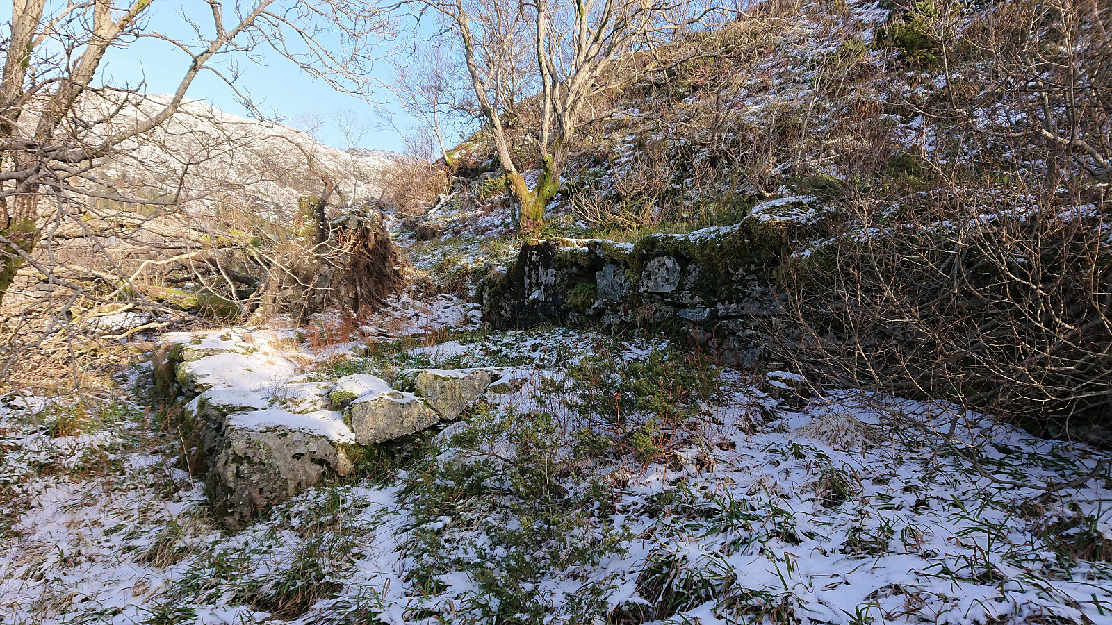 After managing to find all of the cabins that we included on the Hytter i Bergensernes Fjellverden II list, I have some experience with locating old ruins without needing a lot of information. However, I may now have come across the hardest challenge yet. Basically, all there is to go by is a single picture from around 1900 labeled with På byfjellet bak Rundemannen , plus an additional three pictures from (what appears to be) the same hike: Byfjellene, Bergen , På tur i Byfjellene and Mann i Fjellveien , where the second one is clearly from the road below Blåmanen . The order of the pictures is defined, neither is the route for the hike.
So, with this rather limited information, we set out from Svartediket to inspect the first potential location in the area south of Tarlebøvatnet. Here we got optimistic early on when coming across some unknown ruins and what appeared to be an old road east of the gravel road just before >>>
After managing to find all of the cabins that we included on the Hytter i Bergensernes Fjellverden II list, I have some experience with locating old ruins without needing a lot of information. However, I may now have come across the hardest challenge yet. Basically, all there is to go by is a single picture from around 1900 labeled with På byfjellet bak Rundemannen , plus an additional three pictures from (what appears to be) the same hike: Byfjellene, Bergen , På tur i Byfjellene and Mann i Fjellveien , where the second one is clearly from the road below Blåmanen . The order of the pictures is defined, neither is the route for the hike.
So, with this rather limited information, we set out from Svartediket to inspect the first potential location in the area south of Tarlebøvatnet. Here we got optimistic early on when coming across some unknown ruins and what appeared to be an old road east of the gravel road just before >>>
Ørneberget and Hellen festning
- Date:
- 24.01.2022
- Characteristic:
- Hillwalk
- Duration:
- 1:04h
- Distance:
- 4.2km
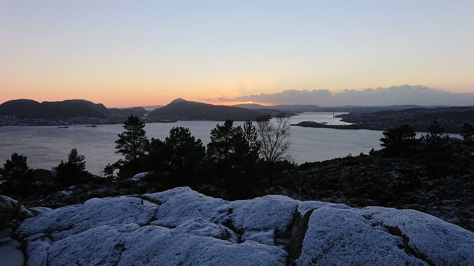
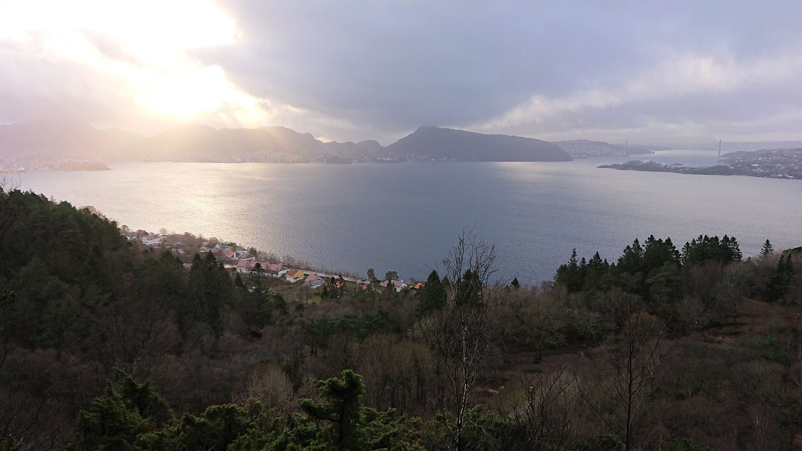
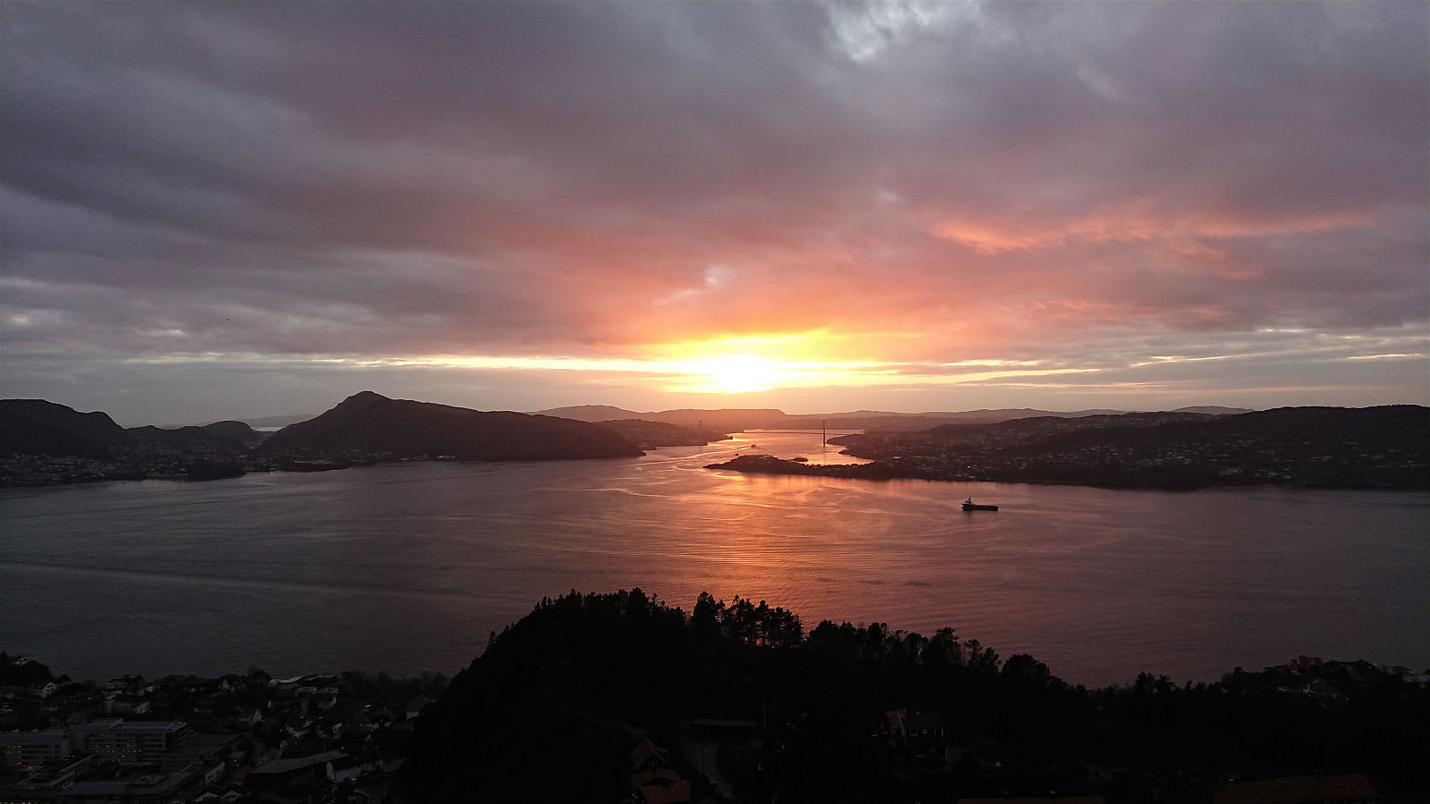 Short local hike after work to catch the sunset at Ørneberget.
Gamle Bergen and Ørneberget
- Date:
- 23.01.2022
- Characteristic:
- Hillwalk
- Duration:
- 2:04h
- Distance:
- 9.9km
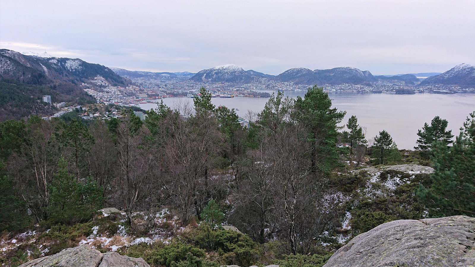
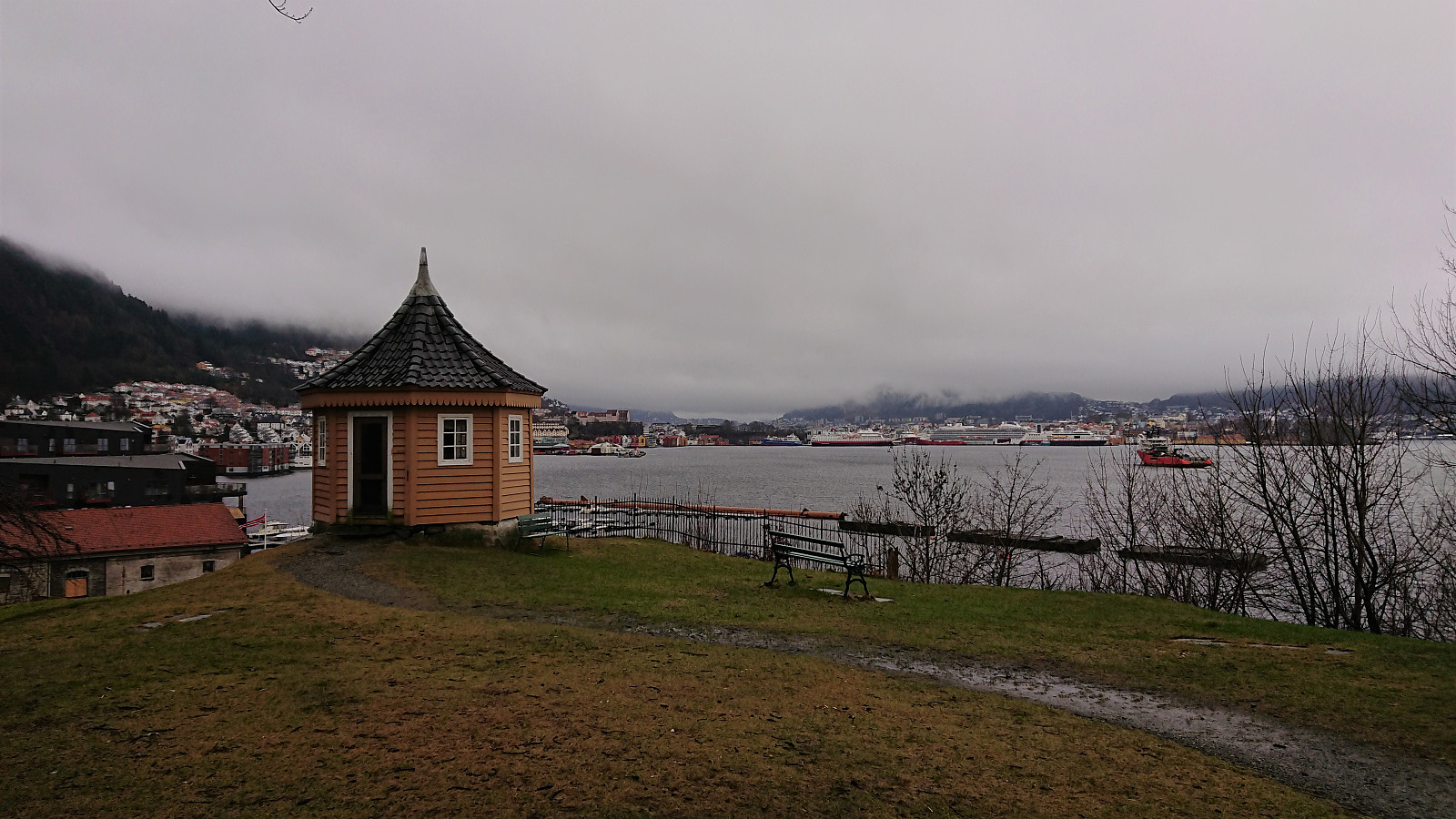 Local hike on a gray and foggy Sunday.
Fagerdalsfjellet and Furukammen
- Date:
- 22.01.2022
- Characteristic:
- Hillwalk
- Duration:
- 0:55h
- Distance:
- 4.1km
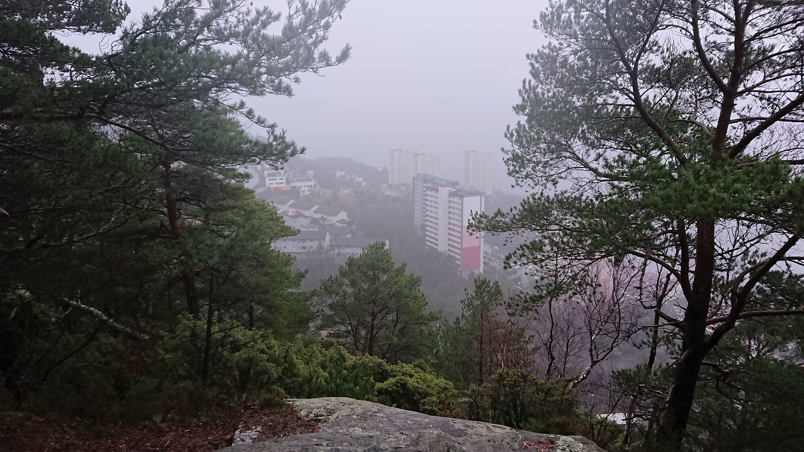 Short local hike on yet another wet and foggy weekend.
Ørneberget and Hellen festning
- Date:
- 20.01.2022
- Characteristic:
- Hillwalk
- Duration:
- 1:04h
- Distance:
- 4.7km
 Short local hike before it got dark.
Small hills east of Sotrabroen
- Date:
- 15.01.2022
- Characteristic:
- Hillwalk
- Duration:
- 2:06h
- Distance:
- 6.8km
 An overall gray Saturday was used to visit small peaks on the Utvalgte topper og turmål i Bergen list. Thanks to knutsverre (Knut S. Andersen) 's recent reports, it was overall straightforward to get to all of the summits. Skipparhaugen was ascended directly from the southeast in order to avoid a detour. This required a bit of easy scrambling at the start, but was otherwise unproblematic. After a quick visit of Storhaugen , which had a trail all the way to the summit, I made a detour to Janahaugen . The summit can be easily reached via a trail, but I did not add it as a new PB element as there is a higher point (inside a private garden) just to the north of where Janahaugen is indicated on the map.
Ramsvikhaugen was ascended from the bus stop to the east. Here there was a trail that could be followed all the way to the summit. The trailhead was not very clear, but the trail itself was easy to follow. >>>
An overall gray Saturday was used to visit small peaks on the Utvalgte topper og turmål i Bergen list. Thanks to knutsverre (Knut S. Andersen) 's recent reports, it was overall straightforward to get to all of the summits. Skipparhaugen was ascended directly from the southeast in order to avoid a detour. This required a bit of easy scrambling at the start, but was otherwise unproblematic. After a quick visit of Storhaugen , which had a trail all the way to the summit, I made a detour to Janahaugen . The summit can be easily reached via a trail, but I did not add it as a new PB element as there is a higher point (inside a private garden) just to the north of where Janahaugen is indicated on the map.
Ramsvikhaugen was ascended from the bus stop to the east. Here there was a trail that could be followed all the way to the summit. The trailhead was not very clear, but the trail itself was easy to follow. >>>
Hellemyrstien and Ørneberget
- Date:
- 09.01.2022
- Characteristic:
- Hillwalk
- Duration:
- 1:40h
- Distance:
- 7.3km
 Local hike on partly ice-covered roads and trails.
Ørneberget and Hellen festning
- Date:
- 05.01.2022
- Characteristic:
- Hillwalk
- Duration:
- 1:03h
- Distance:
- 4.2km
 Short local hike to catch the sunset from Ørneberget.
Hellen festning and Ørneberget
- Date:
- 02.01.2022
- Characteristic:
- Hillwalk
- Duration:
- 1:10h
- Distance:
- 4.9km
 A short local hike due to my original plan having to be abandoned when the required bus did not show up...
Larslibua, Steinsfjellet and Botlenipa
- Date:
- 29.12.2021
- Characteristic:
- Hillwalk
- Duration:
- 1:52h
- Distance:
- 8.1km
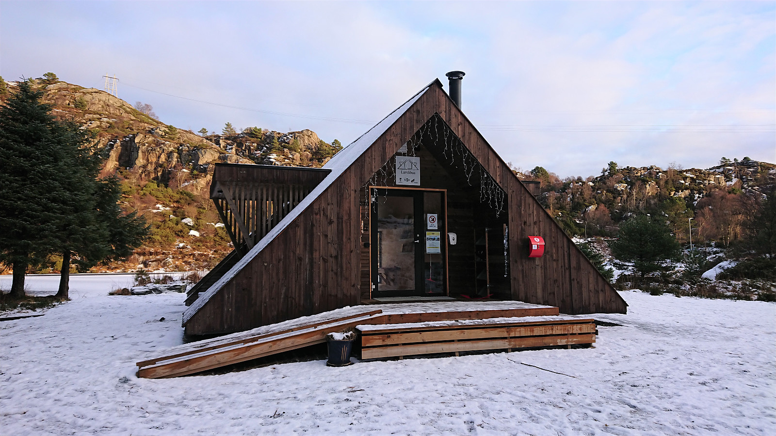 A short hike at Litlesotra with the main objective of visiting Larslibua . A small cabin on the newly created Dagsturhyttene i Vestland list. I also made a quick visit of the summit of Steinsfjellet , although my ascent required more fighting with the low vegetation than expected. The descent route was slightly better. I had also planned to visit Ørnanipa , but as I failed to locate the trailhead (probably due to the snow?), I instead went for a revisit of Botlenipa , before returning to the main road and the bus back to Bergen.
