Archive - Date
Archive - Activity
-
Bike trip (110)
- Bike trip - mixed (25)
- Bike trip - road (85)
-
Drive (9)
- Car drive (9)
-
Other trip (3)
- Kayaking (3)
-
Ski trip (116)
- Backcountry skiing (69)
- Cross-country skiing (47)
- Trip by foot (1884)
Collected lists
-
Utvalgte topper og turmål i Bergen
(348/349)
 99%
99% -
Alle topper i Bergen
(391/398)
98%
-
Voss ≥ 100m pf.
(96/98)
97%
-
Opptur Hordaland
(144/159)
90%
-
Stasjoner på Bergensbanen
(33/40)
82%
-
Ulvik ≥ 100m pf.
(28/38)
73%
-
Hordaland ≥ 100m pf.
(622/863)
72%
-
Mjølfjell PF > 100m
(21/31)
67%
-
Jondal ≥ 100m pf.
(15/23)
65%
-
Dagsturhyttene i Vestland
(36/61)
59%
-
Sunnhordland PF >= 100m
(105/186)
56%
-
Hordaland: Hardanger PF>=100m
(194/359)
54%
-
DNT-hytter i Hordaland
(23/45)
51%
-
Kvinnherad ≥ 100m pf.
(40/79)
50%
-
Eidfjord ≥ 100m pf.
(13/42)
30%
-
Sogndal ≥ 100m pf.
(23/81)
28%
-
Gulen ≥ 100m pf.
(15/54)
27%
-
Vik i Sogn ≥ 100m pf.
(10/46)
21%
-
Sogn - Sør for Sognefjorden PF>=100m
(31/159)
19%
-
DNT-hytter i Sogn og Fjordane
(8/47)
17%

Sandviksfjellet
- Date:
- 28.12.2021
- Characteristic:
- Hillwalk
- Duration:
- 3:22h
- Distance:
- 11.4km
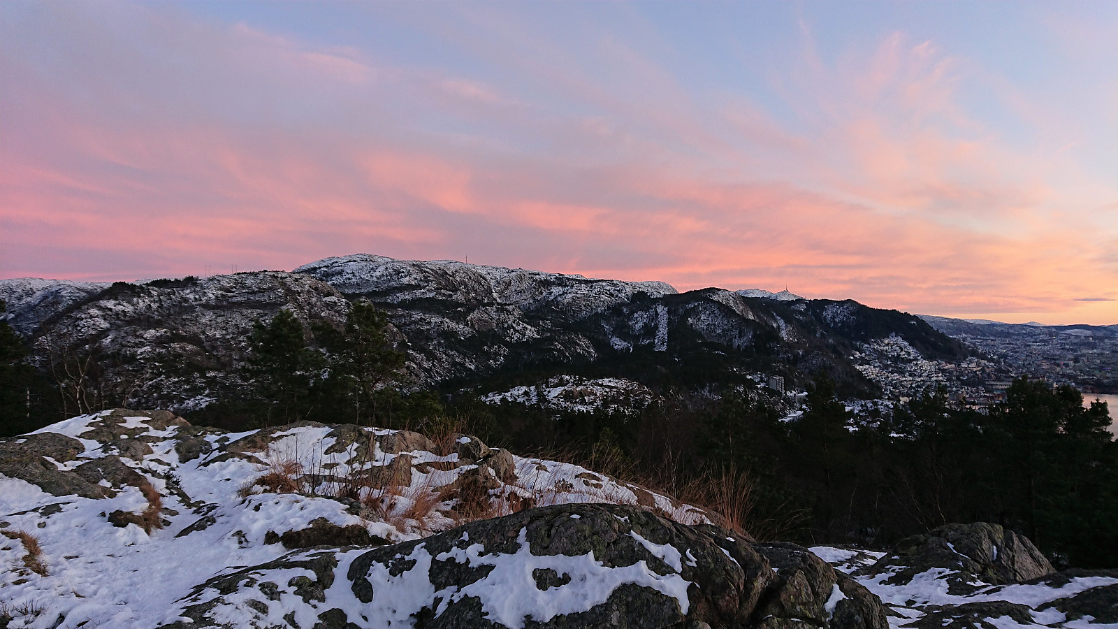
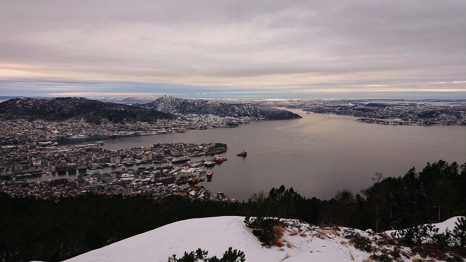 Local hike to the cairn at Sandviksfjellet .
Skåldalsnipa, Grøna and Sælinga
- Date:
- 26.12.2021
- Characteristic:
- Hillwalk
- Duration:
- 3:10h
- Distance:
- 7.8km
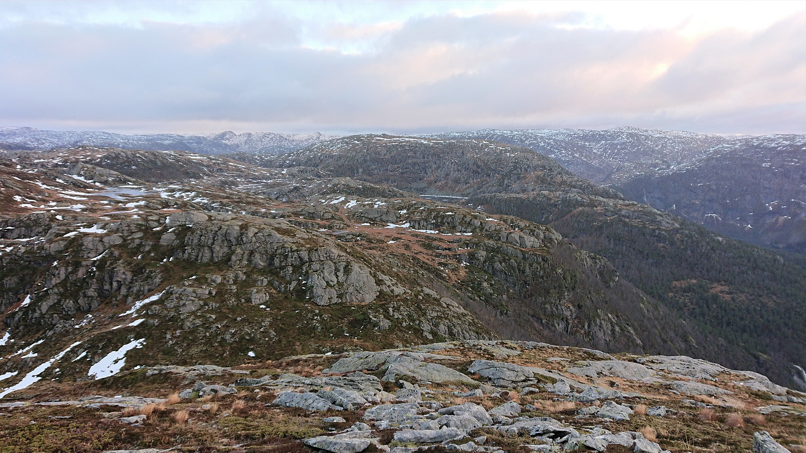
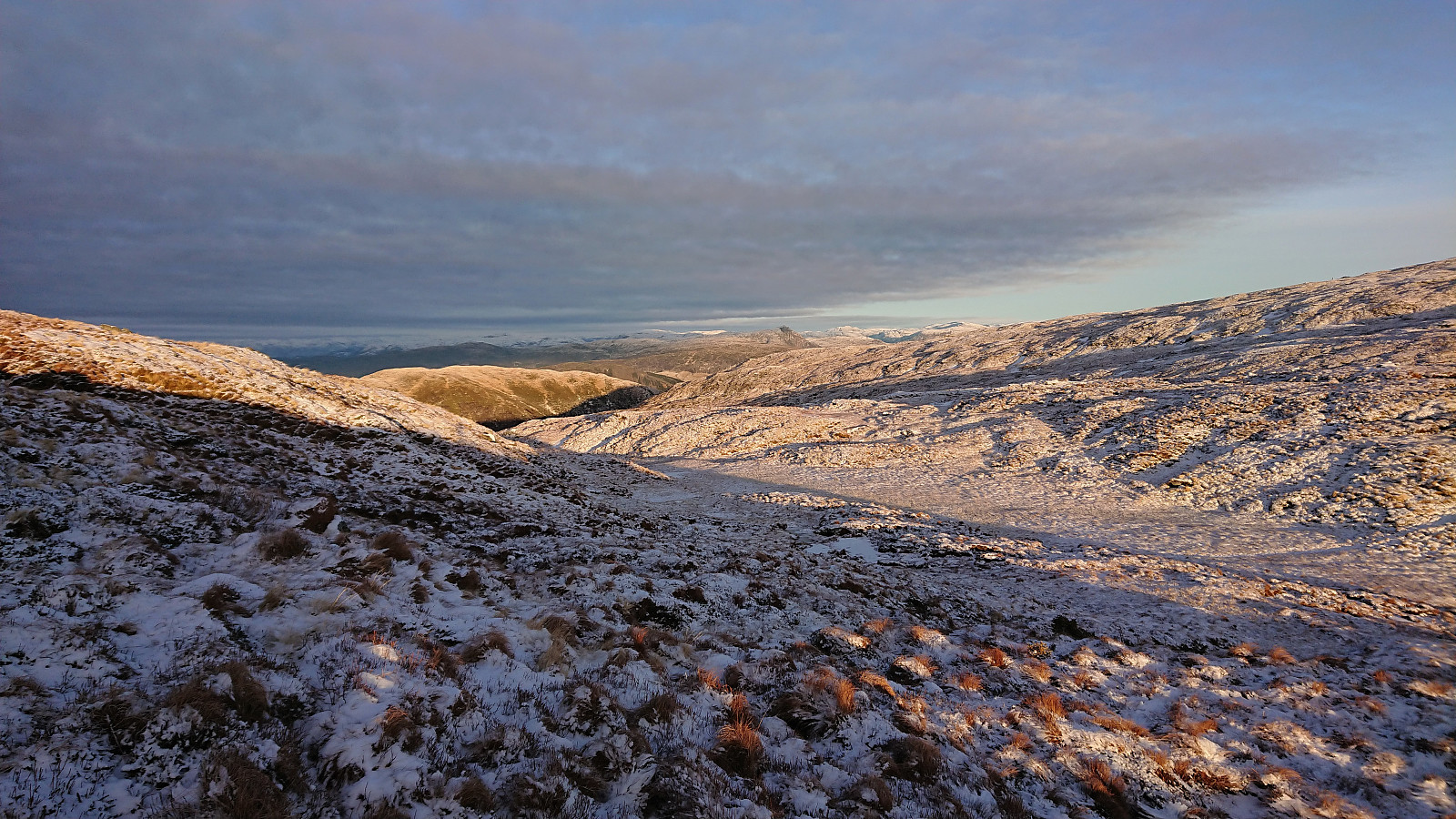 A return to Skåldalsnipa with the main goal of doing a small detour to also visit Grøna , a minor summit on the Utvalgte topper og turmål i Bergen list. On the return, I also made a quick stop at Sælinga in order to add a picture from the summit (which I had not done on my last visit due it then being too dark). The trails to/from Skåldalsnipa were partially covered by ice, but most of it could be pretty easily avoided.
Sandviksbatteriet and Håmanen
- Date:
- 25.12.2021
- Characteristic:
- Hillwalk
- Duration:
- 2:01h
- Distance:
- 7.4km
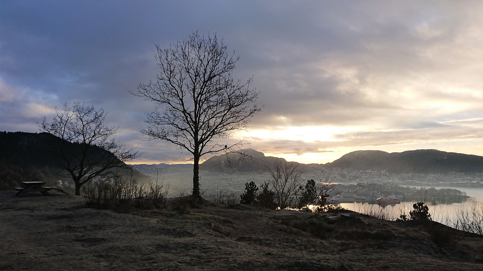 Local hike on Christmas Day.
Ørneberget and Furukammen
- Date:
- 20.12.2021
- Characteristic:
- Hillwalk
- Duration:
- 1:04h
- Distance:
- 4.3km
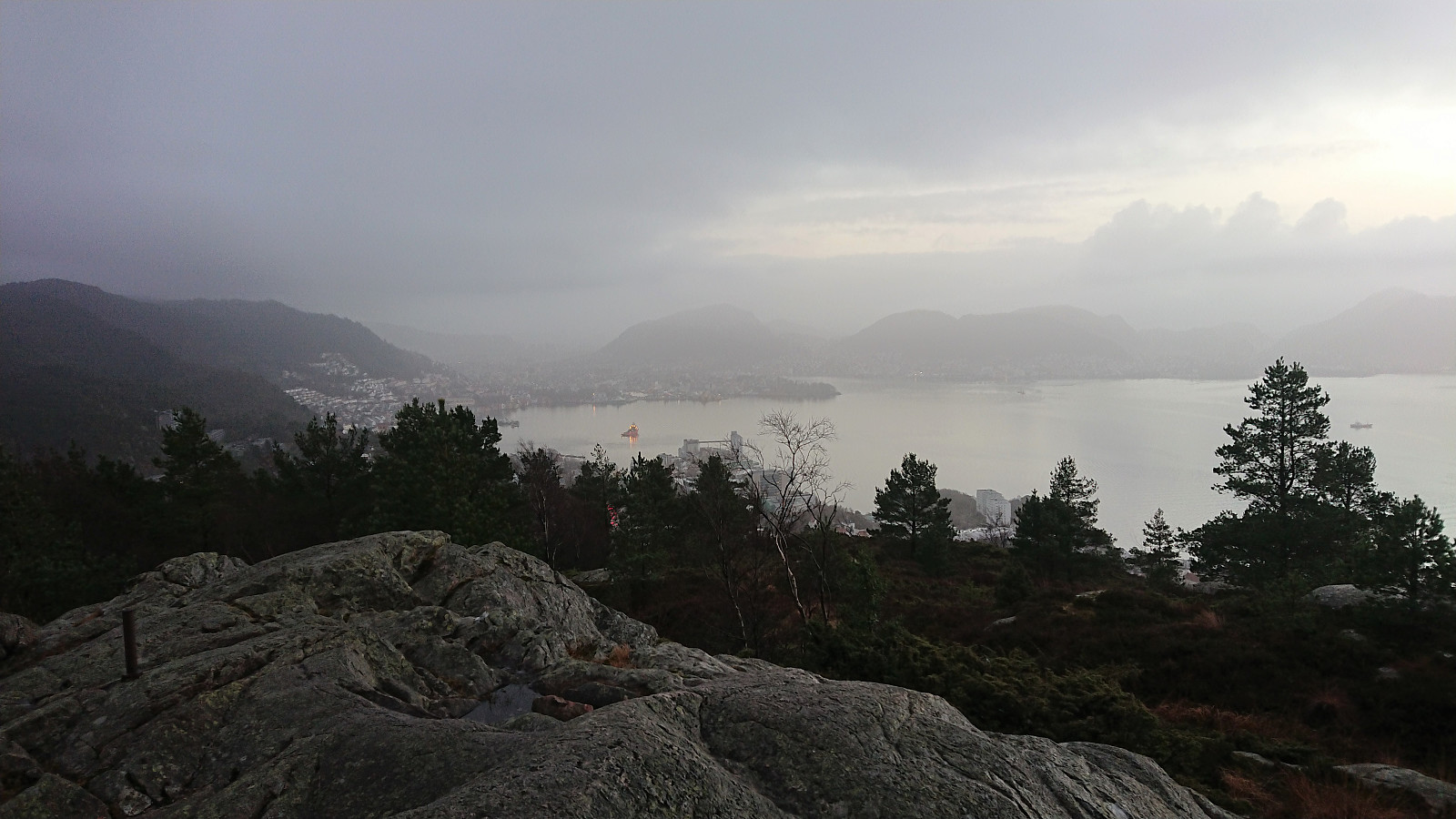
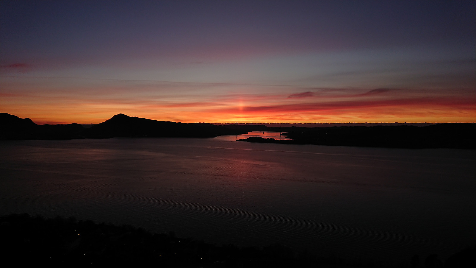 Short local afternoon hike to catch the tail end of the sunset.
Lauvtonipa from Storevatnet
- Date:
- 19.12.2021
- Characteristic:
- Hillwalk
- Duration:
- 4:16h
- Distance:
- 12.4km
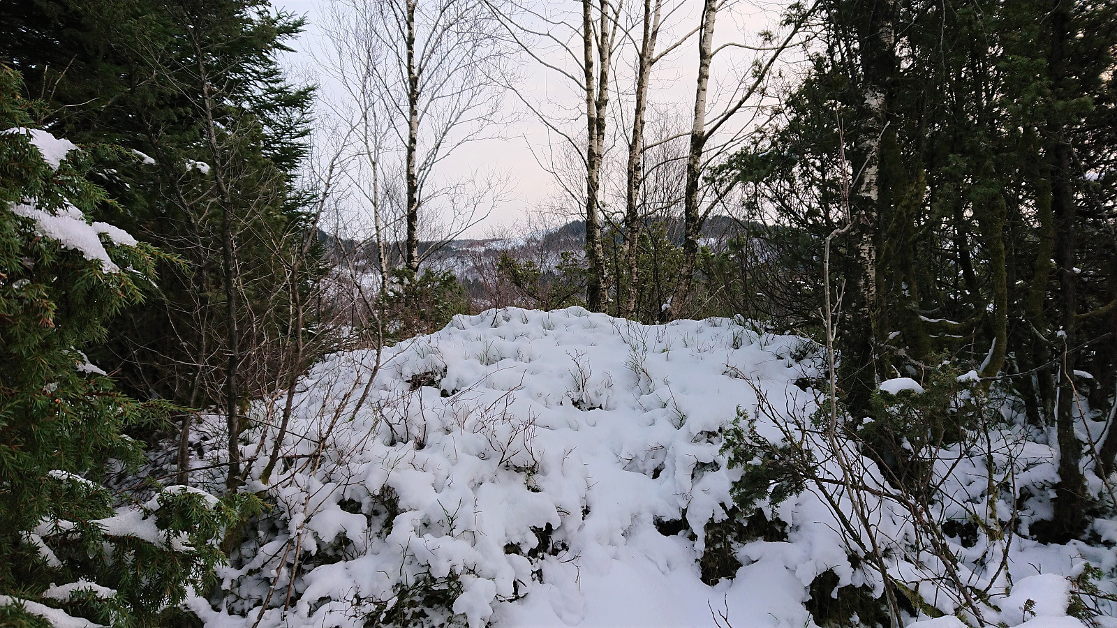
 Another return to Masfjorden and Storevatnet (and the bus stop called Nedre Storavatn), but this time walking west along the road towards Haugsdal with the goal being a visit of Lauvtonipa . After about 3.5 km on the road, I arrived at Bjørnekletten where I from previous trip reports knew that there should be a trail that could take me up to the valley between Lauvtonipa and Furhogen. The trailhead was unmarked, but, again thanks to previous trip reports, it could be easily located.
The trail started out rather weak and wet, but this soon improved and later on the trail could overall be followed without any real problems. Note that the trail is most likely harder to spot at other times of the year though, i.e. when it is covered tall grasses and ferns, as it is clearly not a very frequently used trail. >>>
Another return to Masfjorden and Storevatnet (and the bus stop called Nedre Storavatn), but this time walking west along the road towards Haugsdal with the goal being a visit of Lauvtonipa . After about 3.5 km on the road, I arrived at Bjørnekletten where I from previous trip reports knew that there should be a trail that could take me up to the valley between Lauvtonipa and Furhogen. The trailhead was unmarked, but, again thanks to previous trip reports, it could be easily located.
The trail started out rather weak and wet, but this soon improved and later on the trail could overall be followed without any real problems. Note that the trail is most likely harder to spot at other times of the year though, i.e. when it is covered tall grasses and ferns, as it is clearly not a very frequently used trail. >>>
Høyvikåsen and Hetlevikåsen
- Date:
- 18.12.2021
- Characteristic:
- Hillwalk
- Duration:
- 0:59h
- Distance:
- 3.4km
 Another gray and foggy Saturday. In other words, perfect for a short hike to two minor summits in Vadmyra/Hetlevik. Thanks to knutsverre (Knut S. Andersen) 's recent trip reports, both summits were relatively easy to access, with Høyvikåsen even having a weak trail that could be followed all the way to the summit. For Hetlevikåsen , I however opted for the minor bush fight from the road/trail to the east to avoid getting too close to the houses to the west. From the summit of Hetlevikåsen, I returned to the same trail/road and followed it down to Gamle Mathopsveien, before heading north to Loddefjord terminal and the bus home. Overall, not the most exciting hike to two minor summits that I expect do not have many visitors.
Ørneberget and Hellen festning
- Date:
- 16.12.2021
- Characteristic:
- Hillwalk
- Duration:
- 0:55h
- Distance:
- 4.2km
 Short local hike before it got dark.
Svartetjørnfjellet from Storevatnet
- Date:
- 11.12.2021
- Characteristic:
- Hillwalk
- Duration:
- 4:12h
- Distance:
- 9.1km
 Most of the earlier trip reports for Svartetjørnfjellet also include Lauvtonipa and start from Bjørnekletten southeast of the summit. However, arntfla (Arnt Flatmo) 's external trip report presented an alternative route which instead ascended Svartetjørnfjellet via the ridge from the northeast. This would both reduce the distance I would have to walk along the road and was also more compatible with the buses I had in mind for this Saturday.
I therefore started by taking the bus to Storevatnet and got off at the bus stop called "Nedre Storavatn". After crossing under the main road, I followed the smaller road north/northeast along Storevatnet to where Arnt had indicated that the trail was starting, or at least had started almost 20 years ago. That I would be able to spot any traces of this trail was perhaps too optimistic though. I had even hoped that >>>
Most of the earlier trip reports for Svartetjørnfjellet also include Lauvtonipa and start from Bjørnekletten southeast of the summit. However, arntfla (Arnt Flatmo) 's external trip report presented an alternative route which instead ascended Svartetjørnfjellet via the ridge from the northeast. This would both reduce the distance I would have to walk along the road and was also more compatible with the buses I had in mind for this Saturday.
I therefore started by taking the bus to Storevatnet and got off at the bus stop called "Nedre Storavatn". After crossing under the main road, I followed the smaller road north/northeast along Storevatnet to where Arnt had indicated that the trail was starting, or at least had started almost 20 years ago. That I would be able to spot any traces of this trail was perhaps too optimistic though. I had even hoped that >>>
Ørneberget
- Date:
- 09.12.2021
- Characteristic:
- Hillwalk
- Duration:
- 0:43h
- Distance:
- 2.5km
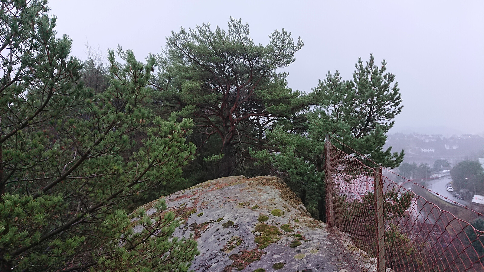
 Left the home office early to almost catch the sunset at an ice-covered Ørneberget .
Five small hills north of Myrdalsvatnet
- Date:
- 05.12.2021
- Characteristic:
- Hillwalk
- Duration:
- 3:36h
- Distance:
- 12.3km
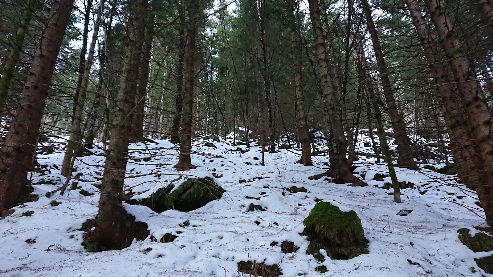
 A return to Myrdalsvatnet for a visit of the five remaining small hills to the north. Nice views from Limesbrotet and Kattuglehaugane / Barkahaugane , which could all be reached fairly easily. Kattuglefjellet and Fjellet on the other hand had limited views and lots of vegetation to fight with. It was probably a good choice to visit all of these summits in the winter time. I also passed by the remains of Johnsahytta and made a short detour to Myrdal Våpenlager . Overall, not the most exiting hike but still ok. Pretty sure these will be my only visits to all of the summits involved though.
