Archive - Date
Archive - Activity
-
Bike trip (115)
- Bike trip - mixed (28)
- Bike trip - road (87)
-
Drive (9)
- Car drive (9)
-
Other trip (3)
- Kayaking (3)
-
Ski trip (116)
- Backcountry skiing (69)
- Cross-country skiing (47)
- Trip by foot (1910)
Collected lists
-
Utvalgte topper og turmål i Bergen
(351/352)
 99%
99% -
Alle topper i Bergen
(395/400)
98%
-
Voss ≥ 100m pf.
(96/98)
97%
-
Opptur Hordaland
(144/159)
90%
-
Stasjoner på Bergensbanen
(33/40)
82%
-
Ulvik ≥ 100m pf.
(30/38)
78%
-
Hordaland ≥ 100m pf.
(625/863)
72%
-
Mjølfjell PF > 100m
(21/31)
67%
-
Jondal ≥ 100m pf.
(15/23)
65%
-
Dagsturhyttene i Vestland
(38/62)
61%
-
Sunnhordland PF >= 100m
(106/186)
56%
-
Hordaland: Hardanger PF>=100m
(196/359)
54%
-
DNT-hytter i Hordaland
(24/46)
52%
-
Kvinnherad ≥ 100m pf.
(41/79)
51%
-
Eidfjord ≥ 100m pf.
(13/42)
30%
-
Sogndal ≥ 100m pf.
(23/81)
28%
-
Gulen ≥ 100m pf.
(15/54)
27%
-
Vik i Sogn ≥ 100m pf.
(10/46)
21%
-
Sogn - Sør for Sognefjorden PF>=100m
(31/159)
19%
-
DNT-hytter i Sogn og Fjordane
(8/47)
17%

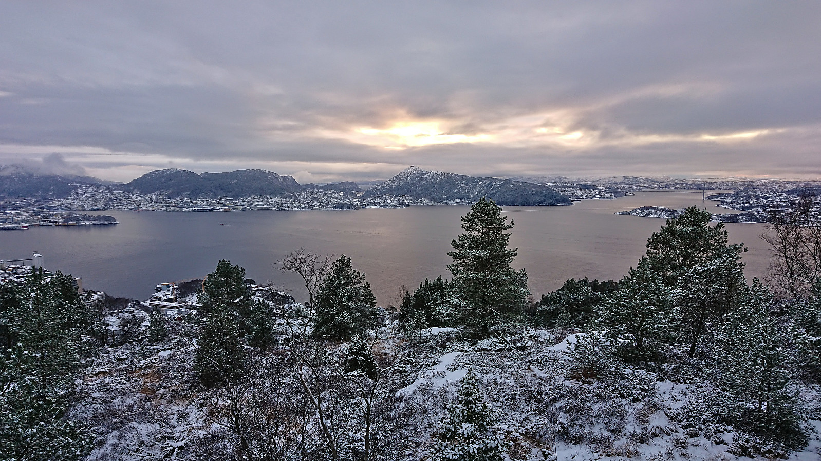
Ørneberget and Rognåsen
- Date:
- 07.01.2024
- Characteristic:
- Hillwalk
- Duration:
- 1:19h
- Distance:
- 5.6km
 Short local Sunday hike.
Nordvik - Krokeide - Fana kirke
- Date:
- 06.01.2024
- Characteristic:
- Hillwalk
- Duration:
- 4:10h
- Distance:
- 12.4km
 When my initial plan of going skiing was abandoned due to temperatures down to minus 30 for the considered summits, I decided to instead go for a walk below the snow and visit two minor summits on the Alle topper i Bergen list .
I started by taking the bus to Nordvik and getting off at "Nordvik Nord". From there I followed the road west towards Heggvik where I located an unmarked trailhead at the point where the road forks for the last time.
The trail was weak and probably rather wet at warmer parts of the year. I was therefore surprised when later coming across several red trail markers. It however quickly became clear that these were not leading me in the right direction (perhaps rather heading to Særvika?). After backtracking to the last fork of the trail I continued on an unmarked trail towards Hisdalsvatnet.
When my initial plan of going skiing was abandoned due to temperatures down to minus 30 for the considered summits, I decided to instead go for a walk below the snow and visit two minor summits on the Alle topper i Bergen list .
I started by taking the bus to Nordvik and getting off at "Nordvik Nord". From there I followed the road west towards Heggvik where I located an unmarked trailhead at the point where the road forks for the last time.
The trail was weak and probably rather wet at warmer parts of the year. I was therefore surprised when later coming across several red trail markers. It however quickly became clear that these were not leading me in the right direction (perhaps rather heading to Særvika?). After backtracking to the last fork of the trail I continued on an unmarked trail towards Hisdalsvatnet.
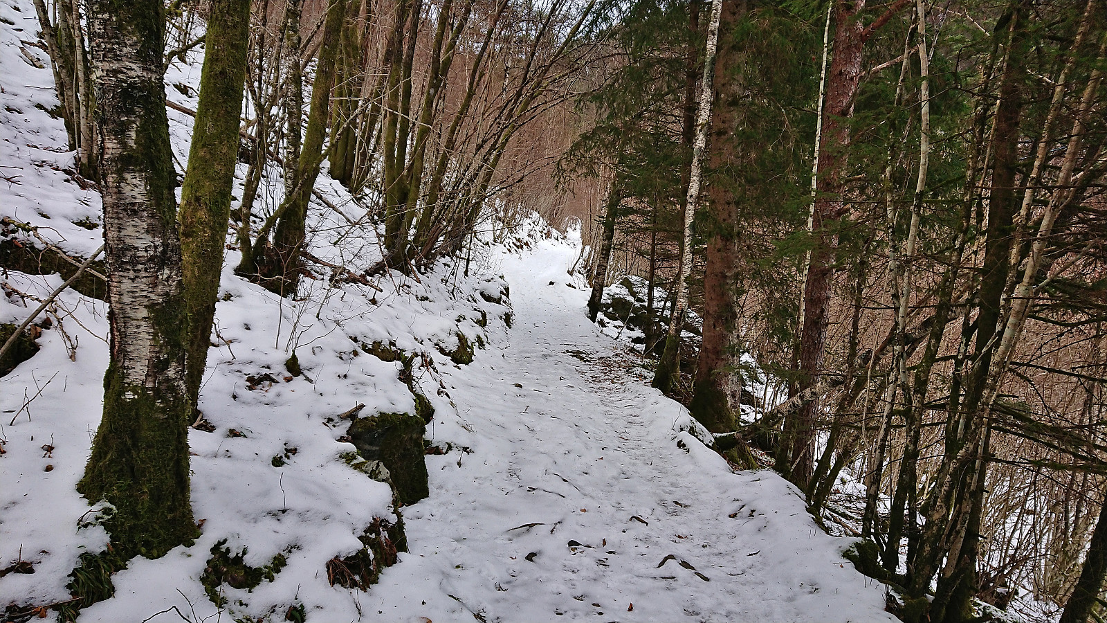
Fagerdalsfjellet and Helleneset
- Date:
- 01.01.2024
- Characteristic:
- Hillwalk
- Duration:
- 0:58h
- Distance:
- 4.2km
 Short local hike on a gray start of the new year.
Dagsturhytta i Arna
- Date:
- 31.12.2023
- Characteristic:
- Hillwalk
- Duration:
- 1:48h
- Distance:
- 5.3km
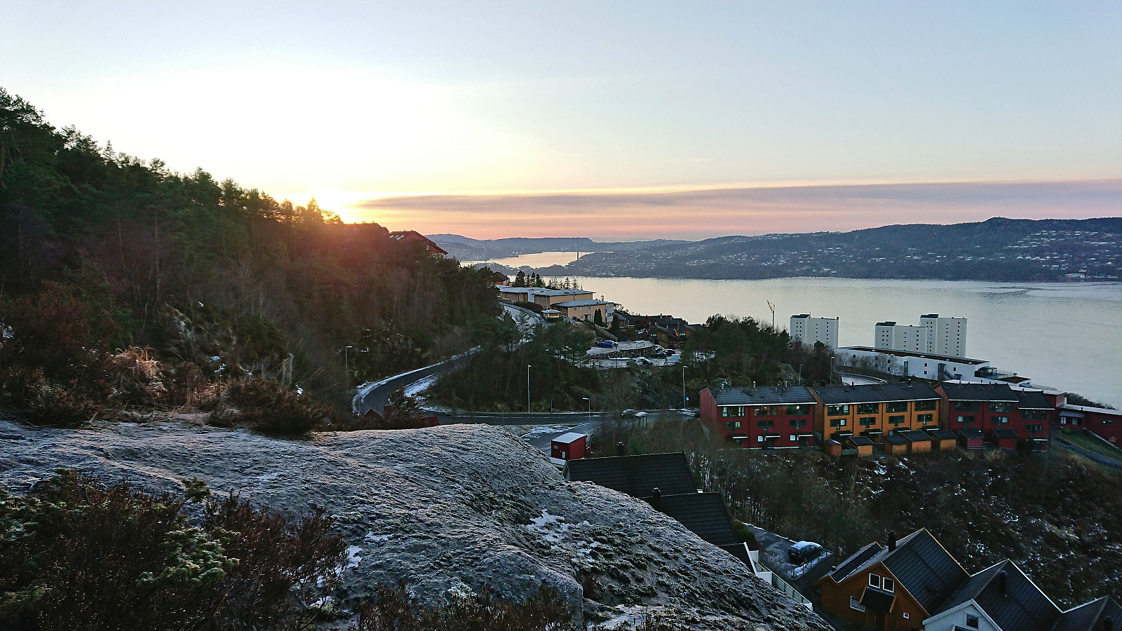
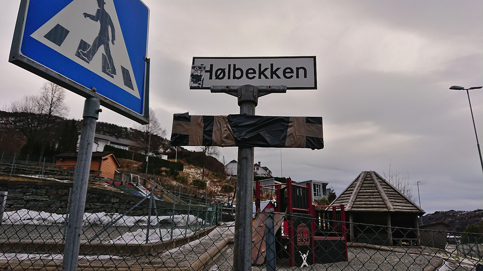 The last hike of 2023 went to the new dagsturhytte in Arna. According to the information I had found online, this should simply be a matter of taking the bus to Hølbekken and following the signs from there.
However, as the cabin was not yet officially open (should be so from early 2024) the signs were still wrapped in black plastic. But except for a crossroads at the very start where the sign was supposed to indicate whether to turn right or left, the wrapped signs could still quite easily be followed, and after passing Eikestølen there were even two signs without wrapping.
From there on I followed an unmarked trail all the way to the yet unnamed cabin (during the later official opening in February 2024 it was named Ådnabu ). There was some ice along the way but overall it could be avoided without too much trouble. The >>>
The last hike of 2023 went to the new dagsturhytte in Arna. According to the information I had found online, this should simply be a matter of taking the bus to Hølbekken and following the signs from there.
However, as the cabin was not yet officially open (should be so from early 2024) the signs were still wrapped in black plastic. But except for a crossroads at the very start where the sign was supposed to indicate whether to turn right or left, the wrapped signs could still quite easily be followed, and after passing Eikestølen there were even two signs without wrapping.
From there on I followed an unmarked trail all the way to the yet unnamed cabin (during the later official opening in February 2024 it was named Ådnabu ). There was some ice along the way but overall it could be avoided without too much trouble. The >>>
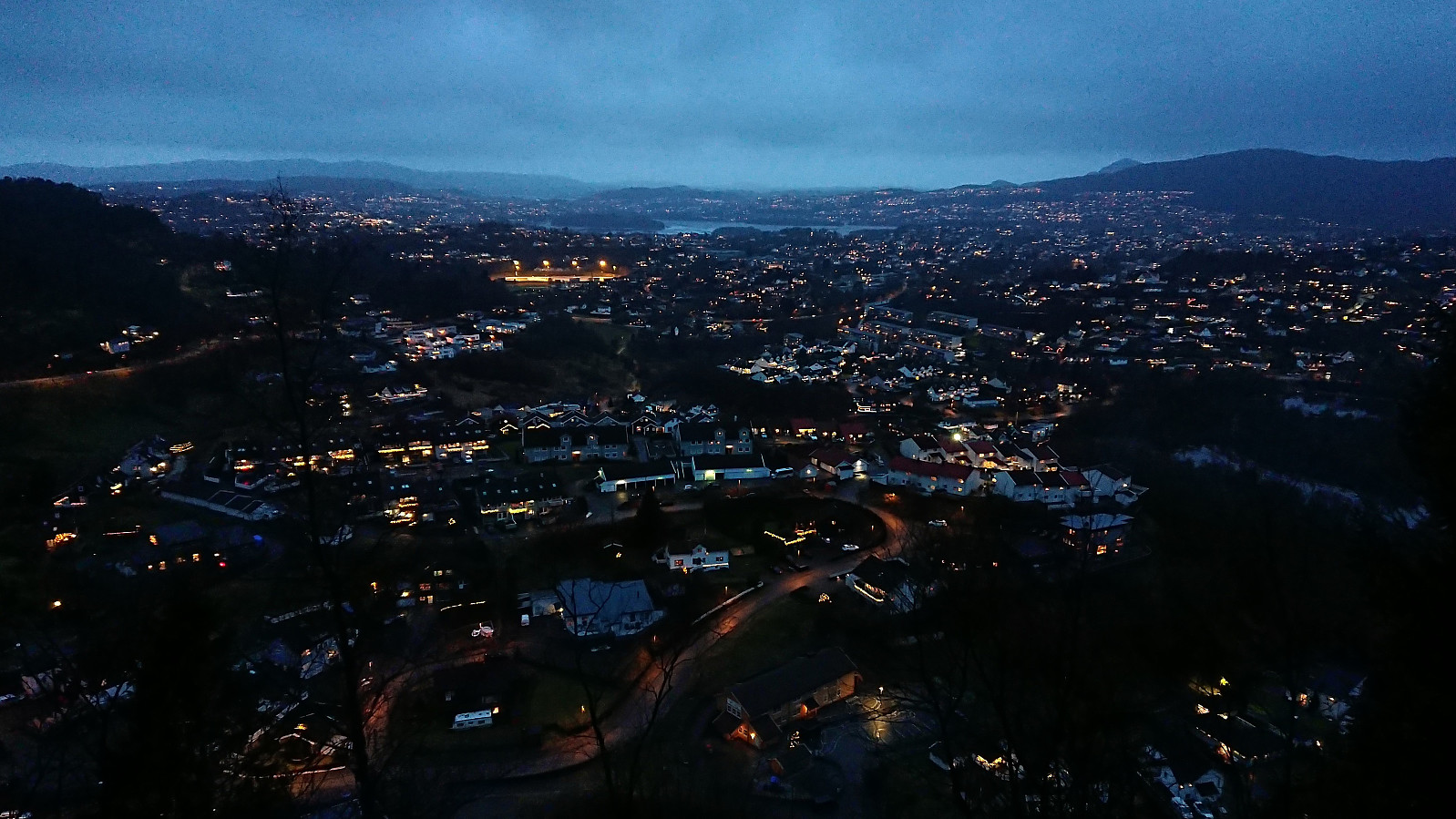
Ørneberget NV and Hellen festning
- Date:
- 30.12.2023
- Characteristic:
- Hillwalk
- Duration:
- 0:53h
- Distance:
- 3.6km
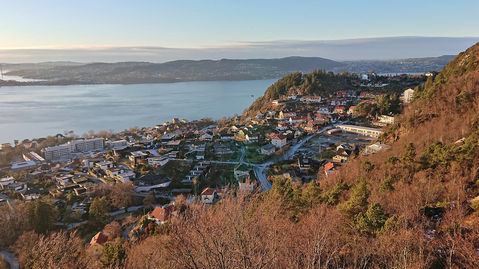
 Back in Bergen after a couple of days at Golsfjellet. With trails and roads still covered by ice, I decided on a short local hike just to enjoy the setting sun.
Ørneberget and Hellemyrstien
- Date:
- 26.12.2023
- Characteristic:
- Hillwalk
- Duration:
- 1:43h
- Distance:
- 7.2km
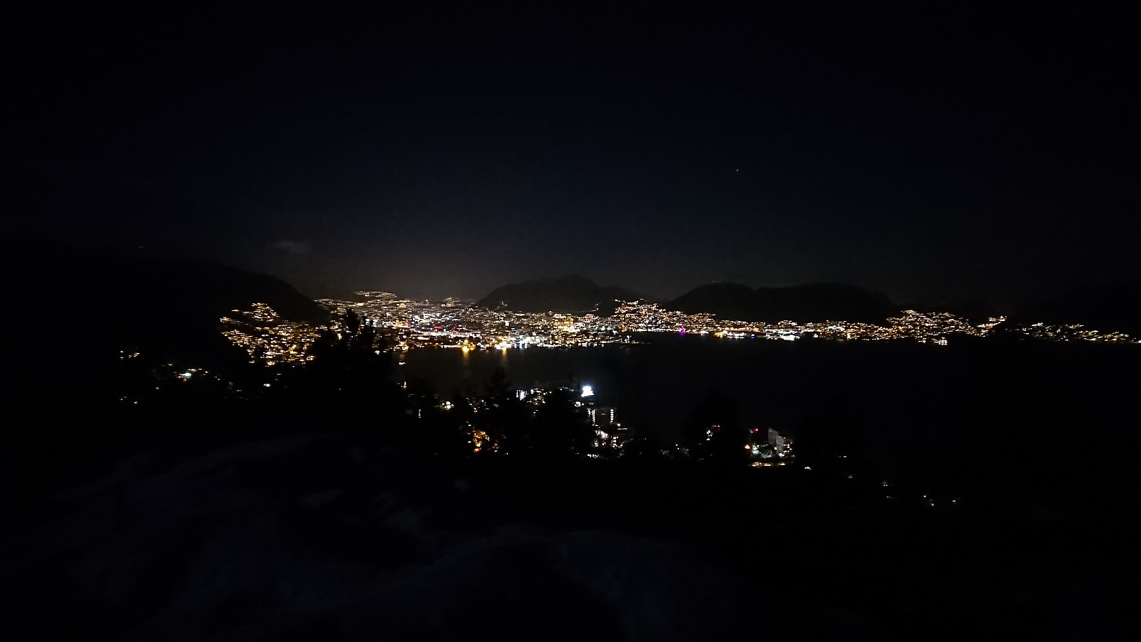 Local evening hike with a headlamp, although the close to full moon provided more than enough light on its own for most of the hike.
Birkelandsfjellet
- Date:
- 16.12.2023
- Characteristic:
- Hillwalk
- Duration:
- 1:03h
- Distance:
- 3.4km
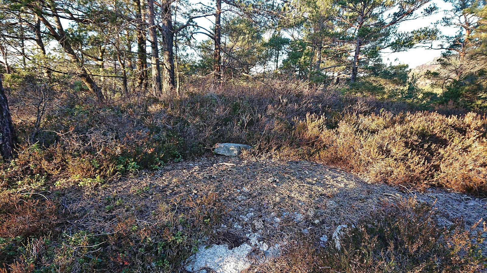
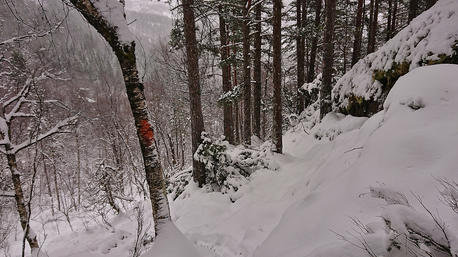
 A return to Birkelandsfjellet for a visit of the trig marker west of the summit . It had been raining all day, but I managed to find a short opening just before it got dark. However, I had not fully considered that the limited light would be further reduced by the dense forest, and therefore did not bring my headlamp. As a result, the steep descent to Kirkebirkeland ended up being slightly more challenging than expected.
Kråkenipa from Lonevåg
- Date:
- 09.12.2023
- Characteristic:
- Hillwalk
- Duration:
- 2:34h
- Distance:
- 9.4km
 Ever since my initial attempt at ascending Kråkenipa was abandoned less than 100 meters from the summit due to lots of grazing horses, I knew that I at some point had to return to complete the job. A gray Saturday in December seemed like the perfect opportunity. With the hope that the cold weather and the layer of snow would ensure that the horses would be gone this time around, I therefore set off for Osterøy.
I started by taking the bus to Myrsæter and walking down to the ferry at Breistein. After a short break, the ferry arrived to take me to Valestrand, from where I hopped on a bus to Lonevåg. As soon as I got off the bus at Lonevåg, it occurred to me that I of course could have taken the bus a couple stops further, but it simply had not crossed my mind, probably as I had been so focused on getting to Lonevåg in the first place. But in >>>
Ever since my initial attempt at ascending Kråkenipa was abandoned less than 100 meters from the summit due to lots of grazing horses, I knew that I at some point had to return to complete the job. A gray Saturday in December seemed like the perfect opportunity. With the hope that the cold weather and the layer of snow would ensure that the horses would be gone this time around, I therefore set off for Osterøy.
I started by taking the bus to Myrsæter and walking down to the ferry at Breistein. After a short break, the ferry arrived to take me to Valestrand, from where I hopped on a bus to Lonevåg. As soon as I got off the bus at Lonevåg, it occurred to me that I of course could have taken the bus a couple stops further, but it simply had not crossed my mind, probably as I had been so focused on getting to Lonevåg in the first place. But in >>>
Ørneberget and Hellen festning
- Date:
- 02.12.2023
- Characteristic:
- Hillwalk
- Duration:
- 1:13h
- Distance:
- 4.4km
 Short local Saturday hike in the snow.
Fagerlifjellet from Gjetingsdalen
- Date:
- 26.11.2023
- Characteristic:
- Hillwalk
- Duration:
- 3:30h
- Distance:
- 5.6km
 For the second Sunday in a row, Petter and I returned to Jondal. This time our goal was to ascend Fagerlifjellet from Gjetingsdalen. After taking the ferry from Tørvikbygd to Jondal, we therefore continued south to Maurangerfjorden which we then proceeded to follow southwest to Gjetingsdalen. Here we quickly realized that there was a lot more snow than expected, but thankfully just below the amount that would have made it difficult for us to park at the open space close to the planned trailhead.
After parking the car, we walked up the smaller road to Nedre Øyjorda, passed through a gate and continued up to Øvre Øyjorda. So far there had been some fairly recent footprints in the snow. We assumed that these would stop at Øvre Øyjorda, but luckily they continued across a small bridge just to the east and then >>>
For the second Sunday in a row, Petter and I returned to Jondal. This time our goal was to ascend Fagerlifjellet from Gjetingsdalen. After taking the ferry from Tørvikbygd to Jondal, we therefore continued south to Maurangerfjorden which we then proceeded to follow southwest to Gjetingsdalen. Here we quickly realized that there was a lot more snow than expected, but thankfully just below the amount that would have made it difficult for us to park at the open space close to the planned trailhead.
After parking the car, we walked up the smaller road to Nedre Øyjorda, passed through a gate and continued up to Øvre Øyjorda. So far there had been some fairly recent footprints in the snow. We assumed that these would stop at Øvre Øyjorda, but luckily they continued across a small bridge just to the east and then >>>
