Archiv - Nach Datum
Archiv - Nach Aktivität
-
Andere Tour (3)
- Kayaking (3)
-
Fahrradtour (108)
- Fahrradtour Straße (83)
- Fahrradtour gemischt (25)
-
Fahrzeugtour (9)
- Autotour (9)
-
Fußtour (1870)
- Bergtour (1109)
- Jogging (1)
- Spaziergang (55)
- Wanderung (705)
-
Skitour (115)
- Langlauf (47)
- Tourenskilauf (68)
Gesammelte Listen
-
Utvalgte topper og turmål i Bergen
(346/347)
 99%
99% -
Alle topper i Bergen
(391/398)
98%
-
Voss ≥ 100m pf.
(96/98)
97%
-
Opptur Hordaland
(144/159)
90%
-
Stasjoner på Bergensbanen
(31/40)
77%
-
Ulvik ≥ 100m pf.
(28/38)
73%
-
Hordaland ≥ 100m pf.
(619/863)
71%
-
Mjølfjell PF > 100m
(21/31)
67%
-
Jondal ≥ 100m pf.
(15/23)
65%
-
Dagsturhyttene i Vestland
(36/61)
59%
-
Sunnhordland PF >= 100m
(105/186)
56%
-
Hordaland: Hardanger PF>=100m
(191/359)
53%
-
DNT-hytter i Hordaland
(23/45)
51%
-
Kvinnherad ≥ 100m pf.
(40/79)
50%
-
Sogndal ≥ 100m pf.
(23/81)
28%
-
Gulen ≥ 100m pf.
(14/54)
25%
-
Eidfjord ≥ 100m pf.
(10/42)
23%
-
Vik i Sogn ≥ 100m pf.
(10/46)
21%
-
Sogn - Sør for Sognefjorden PF>=100m
(30/159)
18%
-
DNT-hytter i Sogn og Fjordane
(8/47)
17%

Hellemyrstien, Furukammen and Hellen festning
- Datum:
- 04.10.2025
- Tourcharakter:
- Wanderung
- Tourlänge:
- 3:27h
- Entfernung:
- 8,2km
 Local Saturday hike to look at the aftermath of the strong winds during the night. Lots of fallen trees, especially at Furukammen and Hellen festning .
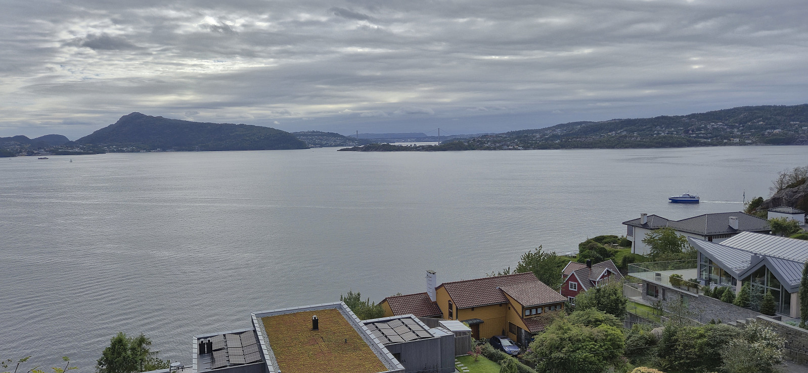
Haukeland sykehus to Sandviken sykehus
- Datum:
- 24.09.2025
- Tourcharakter:
- Wanderung
- Tourlänge:
- 1:30h
- Entfernung:
- 7,2km
 Given the nice weather I decided to walk most of the way home from work.
Across Hellen festning
- Datum:
- 23.09.2025
- Tourcharakter:
- Wanderung
- Tourlänge:
- 0:39h
- Entfernung:
- 3,2km
 Short local hike after work.
Lønborg to Skuteviken
- Datum:
- 14.09.2025
- Tourcharakter:
- Wanderung
- Tourlänge:
- 1:01h
- Entfernung:
- 5,4km
 Short local Sunday hike.
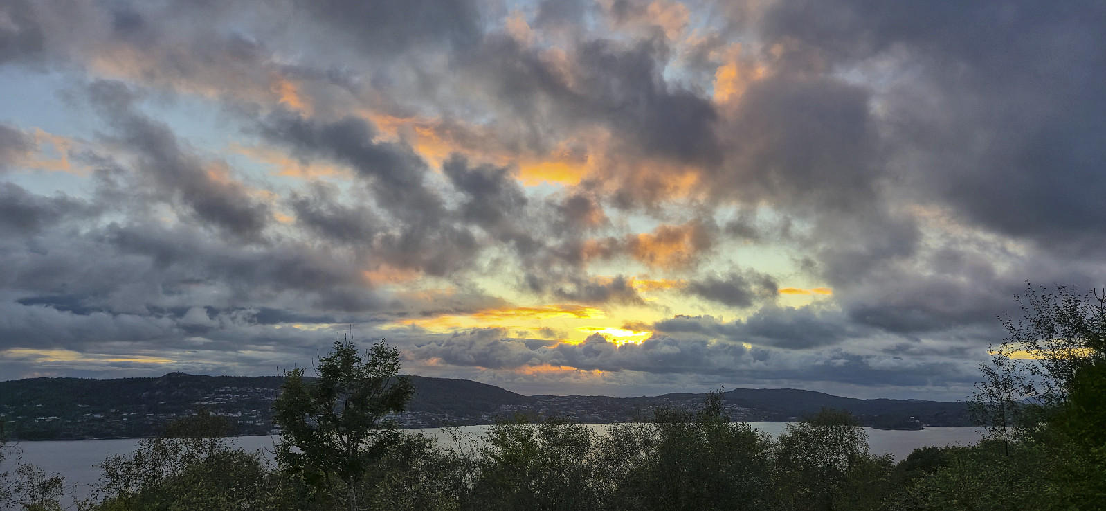
Across Hellen festning
- Datum:
- 09.09.2025
- Tourcharakter:
- Wanderung
- Tourlänge:
- 0:38h
- Entfernung:
- 3,2km
 Short local evening hike around sunset.
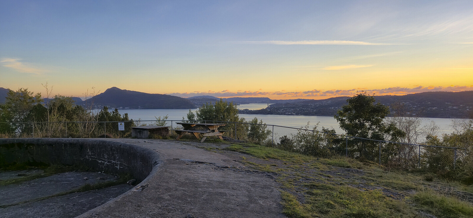
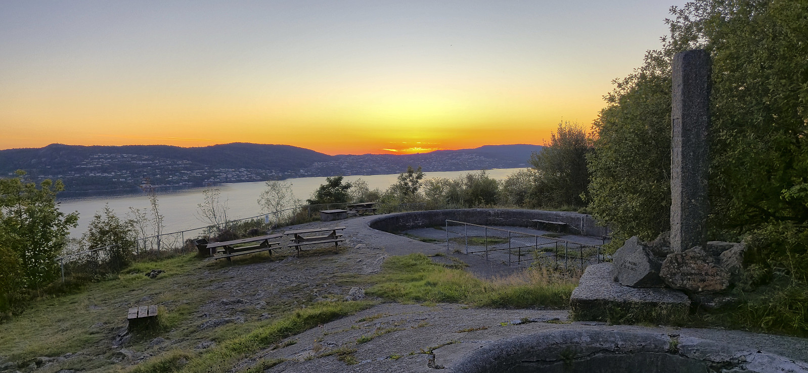
Across Hellen festning
- Datum:
- 29.08.2025
- Tourcharakter:
- Wanderung
- Tourlänge:
- 0:37h
- Entfernung:
- 3,2km
 Short local evening hike around sunset.
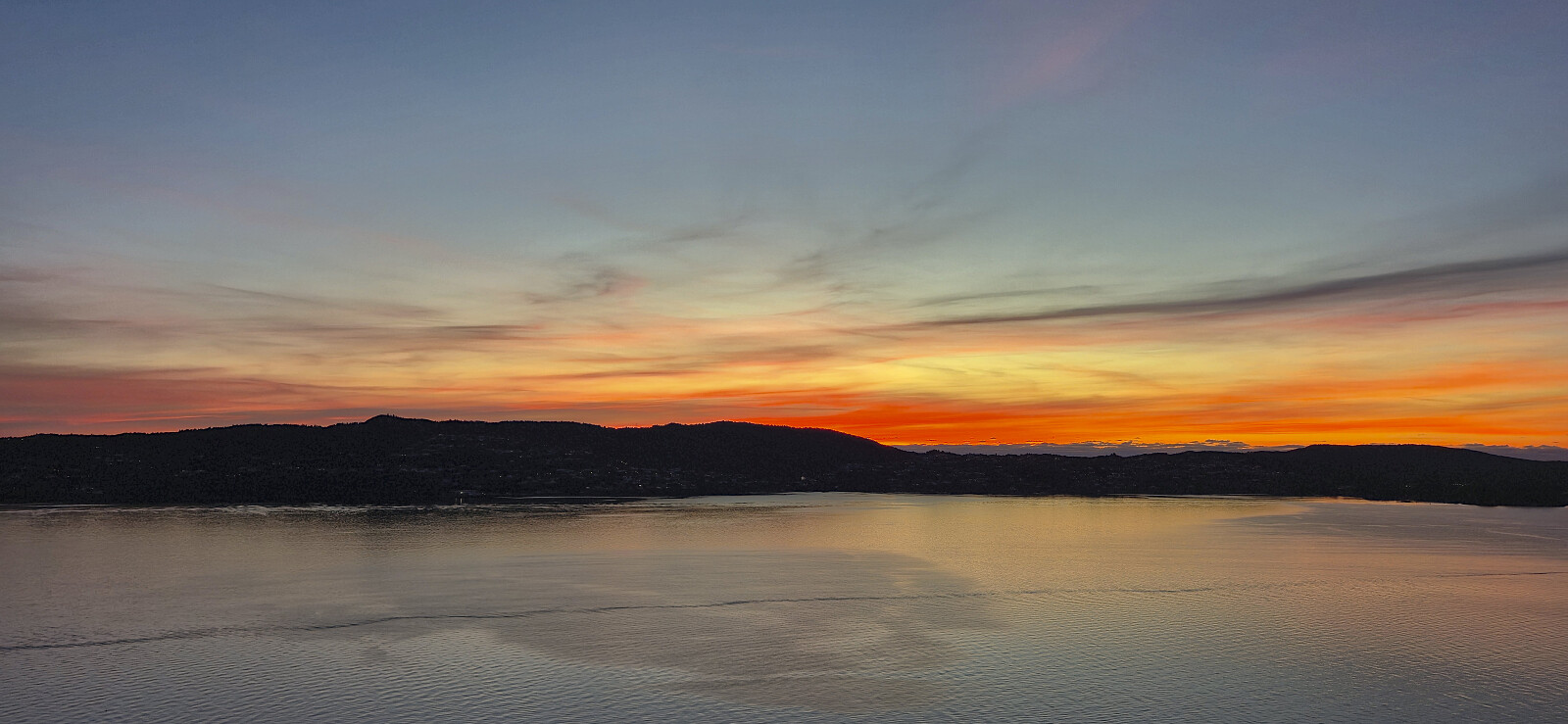
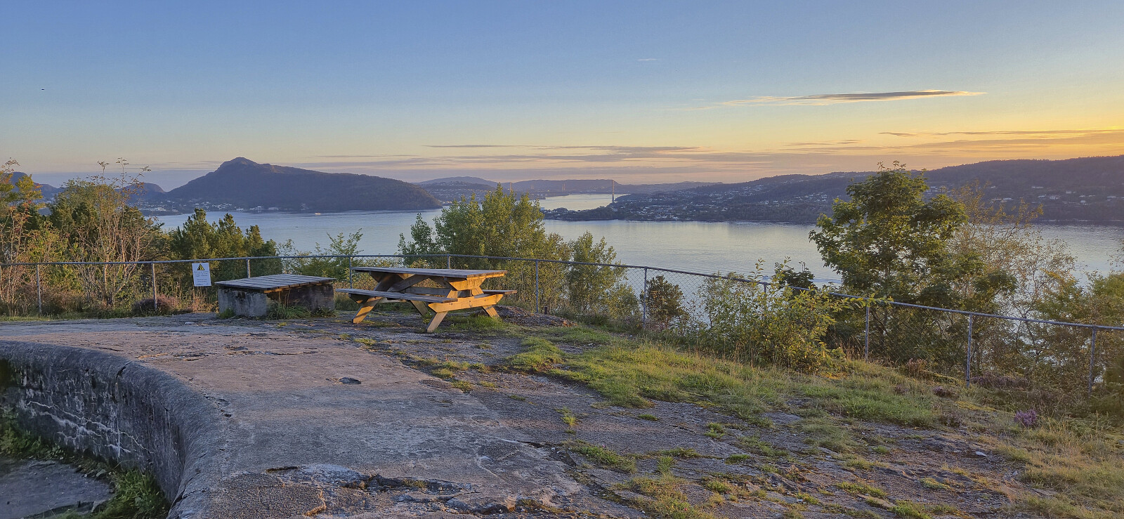
Across Hellen festning
- Datum:
- 25.08.2025
- Tourcharakter:
- Wanderung
- Tourlänge:
- 0:42h
- Entfernung:
- 3,2km
 Short local evening hike.
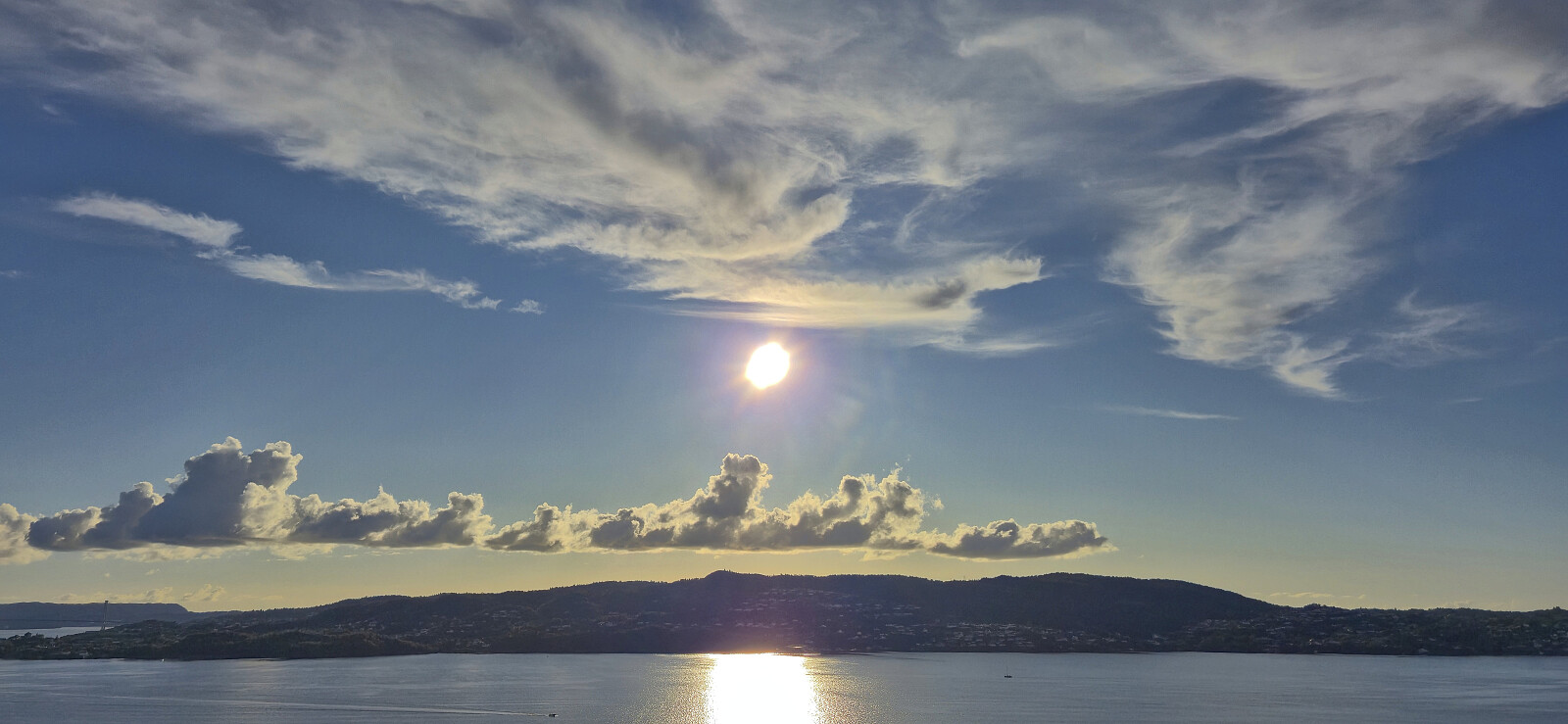
Across Hellen festning
- Datum:
- 20.08.2025
- Tourcharakter:
- Wanderung
- Tourlänge:
- 0:36h
- Entfernung:
- 3,2km
 Short local evening hike around sunset.
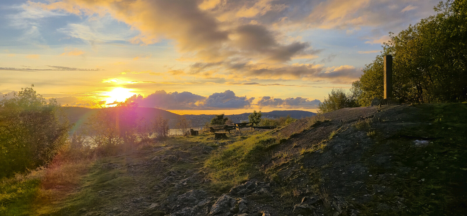
Across Hellen festning
- Datum:
- 16.08.2025
- Tourcharakter:
- Wanderung
- Tourlänge:
- 0:38h
- Entfernung:
- 3,2km
 Short local Saturday hike.
Romslo to Takvam
- Datum:
- 09.08.2025
- Tourcharakter:
- Wanderung
- Tourlänge:
- 1:15h
- Entfernung:
- 6,0km
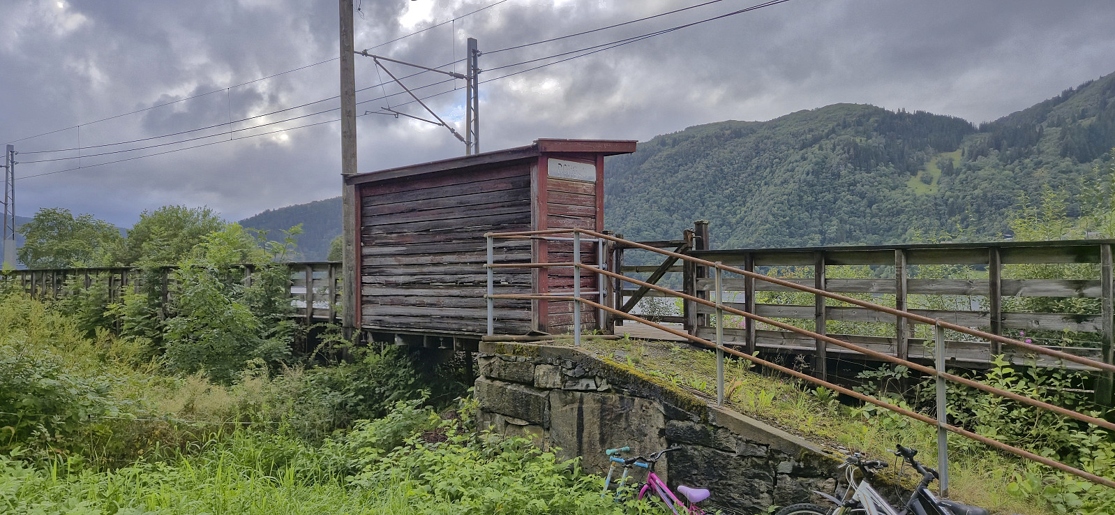 On an overall wet and windy Saturday I found a late afternoon longer opening between the rain showers and decided to make a visit of the old train station at Romslo. According to Wikipedia the station was in use until 1991 and had clearly seen better days.
